The best gravel rides around Langenbacher Forst
4.1
(18)
90
riders
12
rides
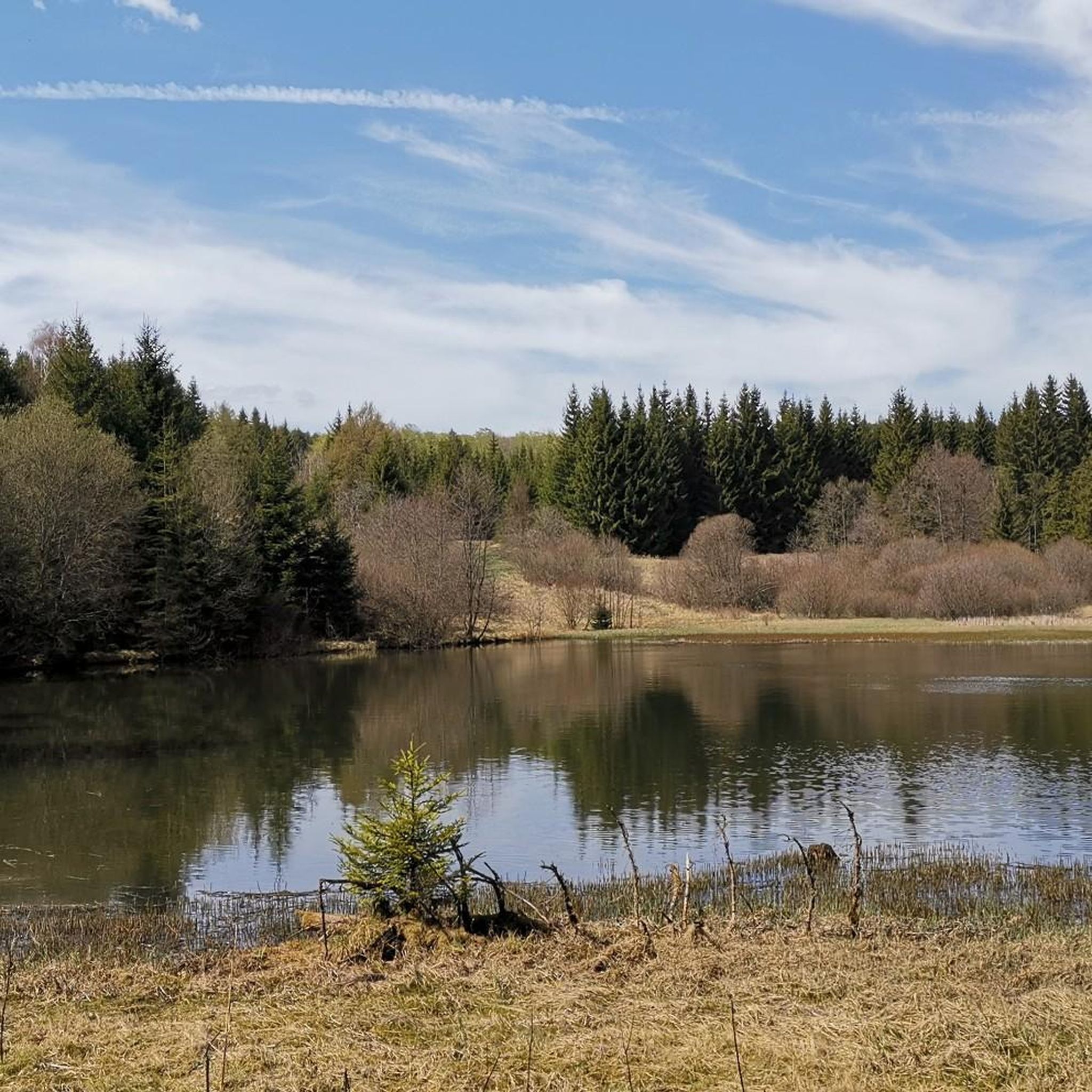
Gravel biking around Langenbacher Forst offers diverse landscapes characterized by dense forests and varied terrain, making it suitable for exploration on two wheels. The region, situated within the broader Bavarian Forest, features tranquil streams and expansive vistas. Its natural environment provides a mix of well-maintained forest roads and unpaved paths, allowing riders to transition between different surfaces while enjoying the immersive forest landscapes. This area is known for its rolling hills and extensive networks of forest paths.
Best gravel bike…
Last updated: July 2, 2026
4.6
(10)
34
riders
60.3km
04:03
960m
960m
Hard gravel ride. Very good fitness required. Mostly paved surfaces. Suitable for all skill levels.
4.5
(2)
13
riders
Moderate gravel ride. Good fitness required. Mostly paved surfaces. Suitable for all skill levels.

Sign up for free
4.7
(3)
9
riders
51.9km
03:32
1,040m
1,040m
Hard gravel ride. Very good fitness required. Mostly paved surfaces. Suitable for all skill levels.
8
riders
Hard gravel ride. Very good fitness required. Mostly paved surfaces. Suitable for all skill levels.
4
riders
Hard gravel ride. Very good fitness required. Mostly paved surfaces. Suitable for all skill levels.
Get access to more routes and recommendations from other explorers.
Sign up for free
Already have an account?
Our route recommendations are based on thousands of hikes, rides, and runs completed by other people on komoot.
Start today with a free account
Your next adventure awaits.
Login or Signup
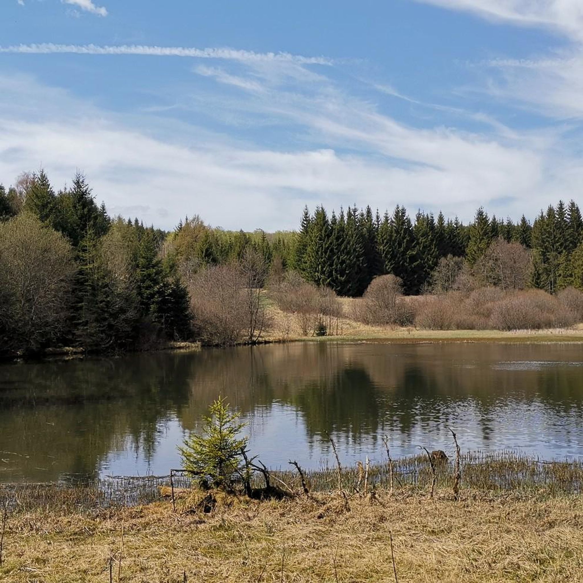
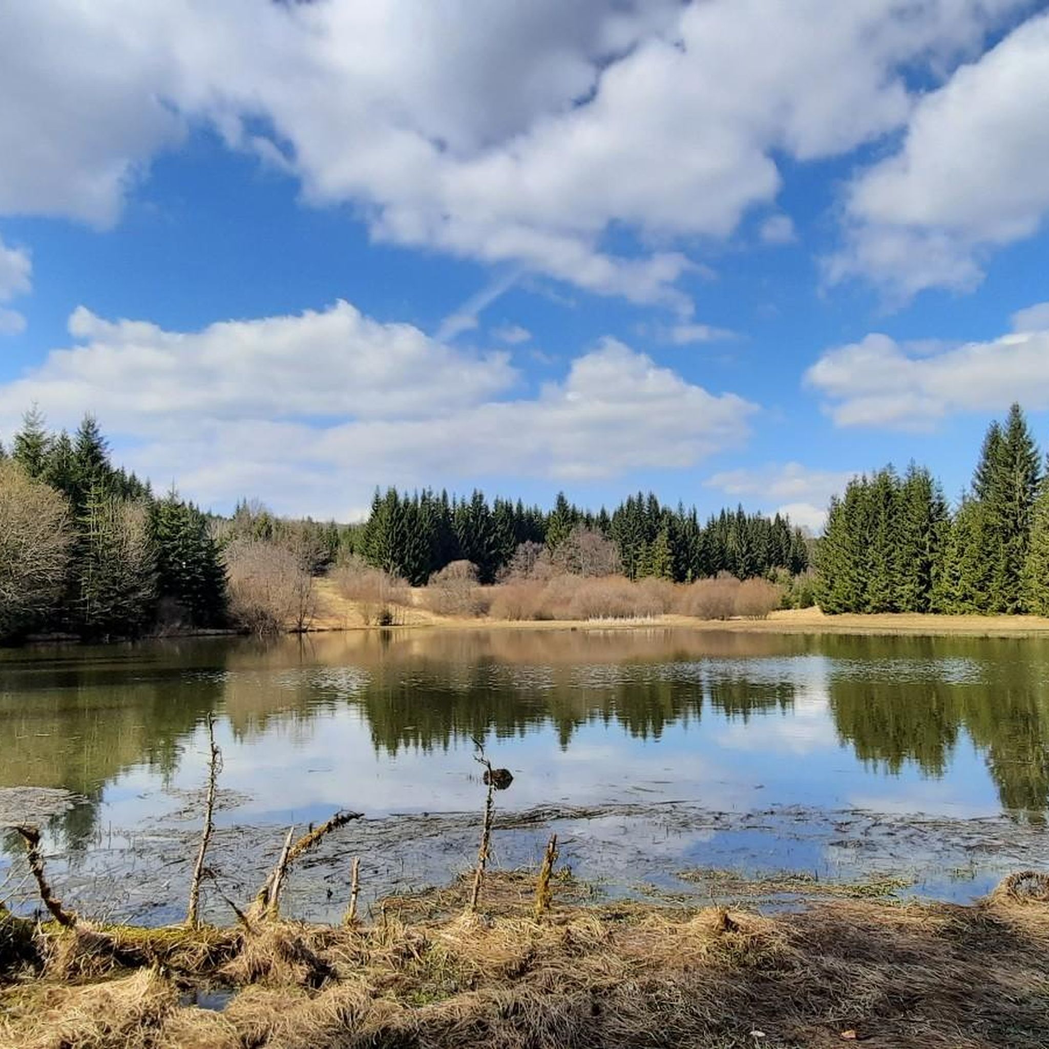
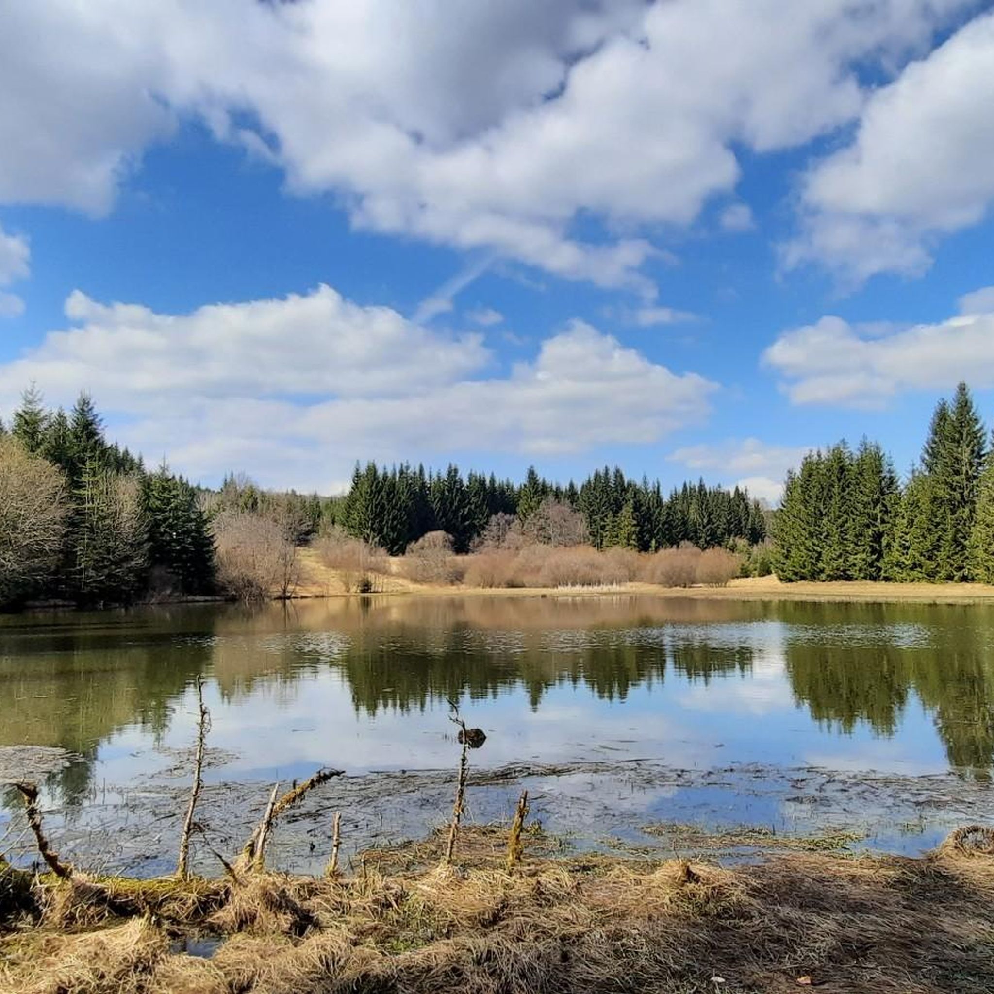
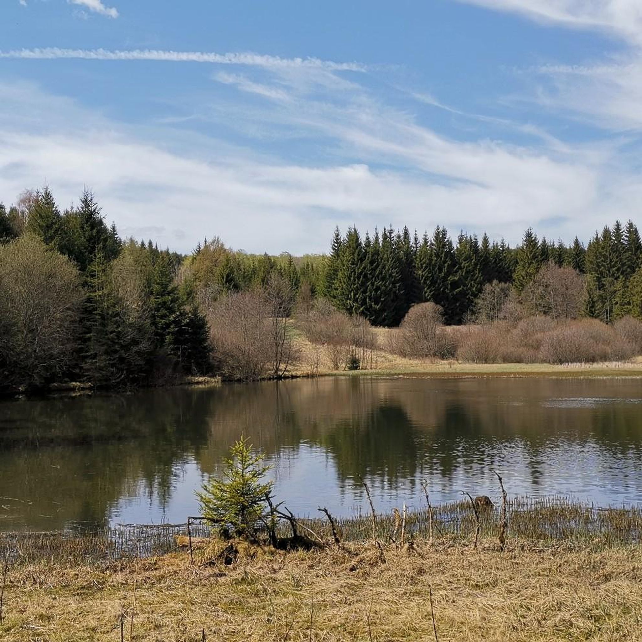
Tips from the Community

Information boards are also available.
0
0

An excellent cycle path on the former railway line. It's almost completely flat, free of potholes and uneven surfaces. The route is also relatively quiet, making it ideal for really picking up speed. The surrounding scenery is particularly charming. Overall, this cycle path is highly recommended.
0
0


The route climbs gently almost continuously, gaining a total elevation of 150 meters. Unfortunately, more and more forest disappears along the route.
1
0

It's just incredibly beautiful here 😊.
0
0

Great bike path, part unpaved (gravel), most of it asphalted 👍🚵
0
0

Frequently Asked Questions
How many gravel bike trails are available in Langenbacher Forst, and what are their typical difficulty levels?
Langenbacher Forst offers over 20 gravel bike trails. The routes are generally categorized as moderate to difficult, with 8 moderate and 18 difficult options, providing a good challenge for experienced riders.
What kind of terrain can I expect on gravel bike trails in Langenbacher Forst?
You can expect diverse terrain, characteristic of the Bavarian Forest. The trails feature a mix of well-maintained forest roads and more challenging unpaved paths, allowing for seamless transitions across different surfaces. The region is defined by dense forest landscapes, tranquil streams, and varied elevations.
Are there any circular gravel bike routes in Langenbacher Forst?
Yes, many of the gravel bike routes in Langenbacher Forst are circular. For example, you can explore the Bleiloch Dam – Bleiloch Reservoir loop from Blankenstein (Saale), or the Höllental along the Selbitz – Panorama Trail "Beautiful View" loop from Bad Steben, which leads through forested valleys.
What do other gravel bikers say about the trails in Langenbacher Forst?
The gravel bike trails in Langenbacher Forst are highly rated by the komoot community, with an average score of 4.2 stars from over 10 reviews. More than 100 gravel bikers have used komoot to explore the varied terrain, often praising the immersive forest landscapes and challenging routes.
Are there any interesting natural features or viewpoints along the gravel bike trails?
Yes, the region is rich in natural beauty. You might encounter tranquil streams and expansive vistas. For panoramic views, consider visiting the Frankenwarte Observation Tower or the Wetzstein Summit and Former Radar Station, both offering great vantage points of the surrounding forest landscape.
What attractions can I visit near the gravel bike trails in Langenbacher Forst?
Beyond the trails, there are several points of interest. You can explore the Schloßberg Nordhalben Summit and Mushroom Sculpture, or discover various lakes like the Ködeltalsperre — Southern End and the Black Pond. The nearby Höllental with Jungfernsteg and Teufelssteg also offers picturesque crossings.
Is Langenbacher Forst suitable for family-friendly gravel biking?
While many routes are rated moderate to difficult, the diverse terrain means there might be easier forest roads suitable for families. However, specific family-friendly routes are not explicitly highlighted, so it's advisable to check individual tour details for elevation and distance to ensure they match your family's capabilities.
Can I bring my dog on the gravel bike trails in Langenbacher Forst?
Generally, forest trails in Germany are dog-friendly, provided dogs are kept under control, especially in nature reserves or near wildlife. It's always best to check local regulations for specific trails or protected areas within Langenbacher Forst to ensure compliance.
Where can I park when visiting Langenbacher Forst for gravel biking?
While specific parking locations for gravel biking are not detailed, the presence of nearby attractions like "Camping am Trepplesfelsen" and "Wohnmobilstellplatz an der Therme" in Bad Steben suggests infrastructure for visitors. Look for designated parking areas near trailheads or popular starting points in towns like Blankenstein (Saale) or Bad Steben.
How can I reach Langenbacher Forst using public transport?
The region is accessible, but specific public transport links directly to trailheads are not provided. Towns like Bad Steben and Blankenstein (Saale), which are common starting points for tours, likely have public transport connections. It's recommended to check local bus or train schedules to these towns.
Are there places to eat or drink near the gravel bike routes in Langenbacher Forst?
The towns surrounding Langenbacher Forst, such as Bad Steben and Blankenstein (Saale), offer amenities like cafes and pubs where you can refuel after your ride. While specific establishments along the trails are not listed, these nearby towns provide convenient options.
What is the best time of year to go gravel biking in Langenbacher Forst?
The diverse forest landscapes of Langenbacher Forst are enjoyable throughout much of the year. Spring and autumn offer pleasant temperatures and beautiful scenery, with vibrant foliage or blooming nature. Summer is also suitable, though some trails might be busier. Winter biking is possible but may depend on snow conditions.
How long do gravel bike routes in Langenbacher Forst typically take?
The duration of gravel bike routes varies significantly depending on their length and difficulty. For instance, the Historic motorway bridge – River Saale loop from Bad Steben, a difficult 36.3-mile route, typically takes around 4 hours 26 minutes, while the Ködel Reservoir loop from Blankenstein (Saale), at 31.9 miles, takes about 4 hours 24 minutes.
Most popular routes around Langenbacher Forst
Most popular attractions around Langenbacher Forst

Get inspired with the komoot mobile app


Explore more
Browse the best Gravel rides in other regions.
