The best gravel rides around Dormitzer Forst
4.4
(478)
2,204
riders
271
rides
Gravel biking around Dormitzer Forst offers a network of forest roads and paths within the larger Nuremberg Reichswald. This state forest features extensive woodlands and diverse terrain, making it suitable for various outdoor activities. The area is characterized by a blend of natural features and historical points of interest, including varied elevations and unpaved routes.
Best gravel bike trails around Dormitzer Forst
- The most popular gravel bike trail is Pear Tree with Rest Area – Forest Trail in Middle Franconia…
Last updated: July 3, 2026
5.0
(1)
7
riders
Hard gravel ride. Good fitness required. You may need to push your bike for some segments of this route.
4.2
(12)
48
riders
25.4km
01:19
110m
110m
Easy gravel ride. Great for any fitness level. Mostly paved surfaces. Suitable for all skill levels.

Sign up for free
5.0
(6)
18
riders
32.7km
01:45
200m
200m
Moderate gravel ride. Good fitness required. Mostly paved surfaces. Suitable for all skill levels.
4.5
(2)
47
riders
47.6km
02:31
260m
260m
Moderate gravel ride. Good fitness required. Mostly paved surfaces. Suitable for all skill levels.
4.0
(2)
7
riders
Moderate gravel ride. Good fitness required. Mostly paved surfaces. Suitable for all skill levels.
Get access to more routes and recommendations from other explorers.
Sign up for free
Already have an account?
Our route recommendations are based on thousands of hikes, rides, and runs completed by other people on komoot.
Start today with a free account
Your next adventure awaits.
Login or Signup
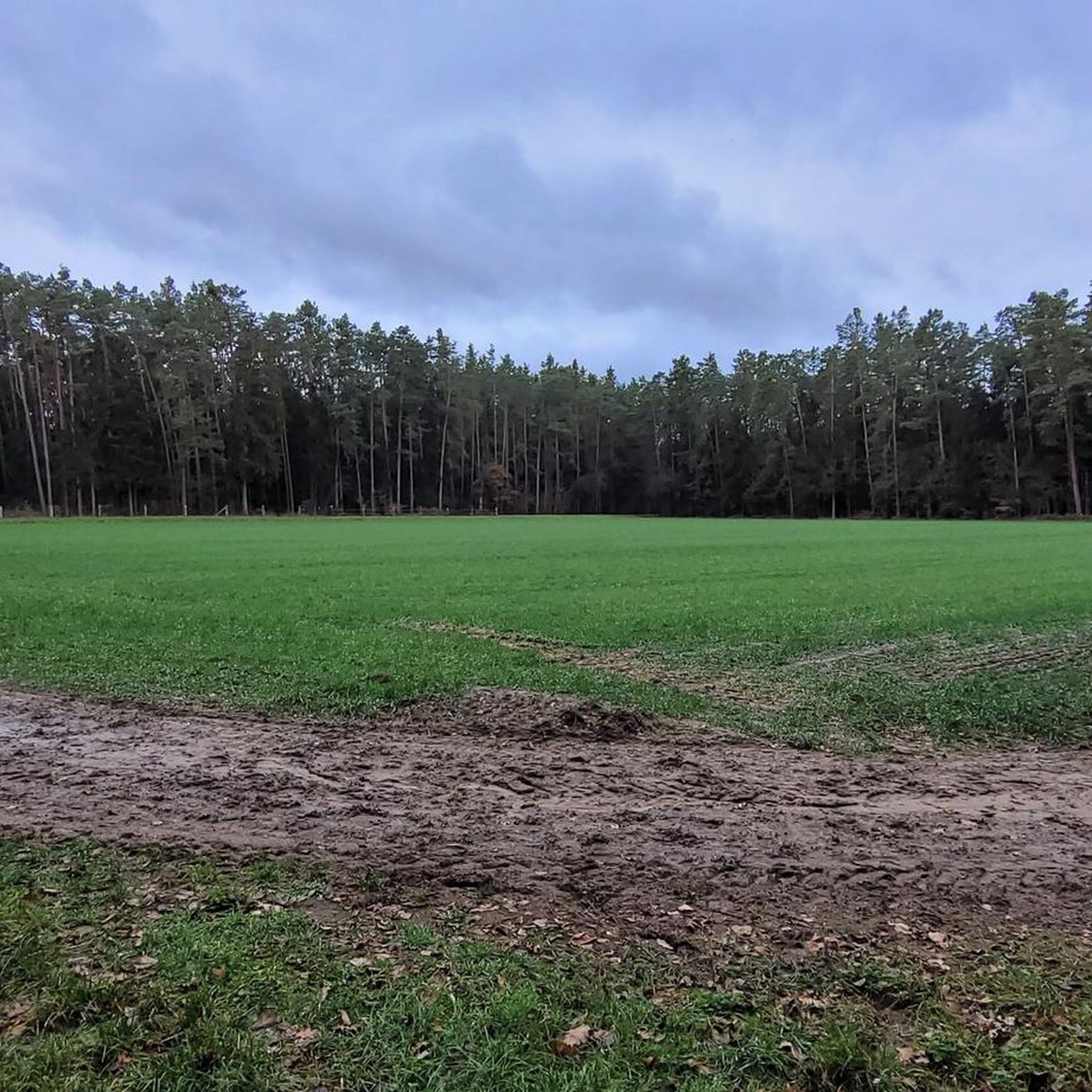
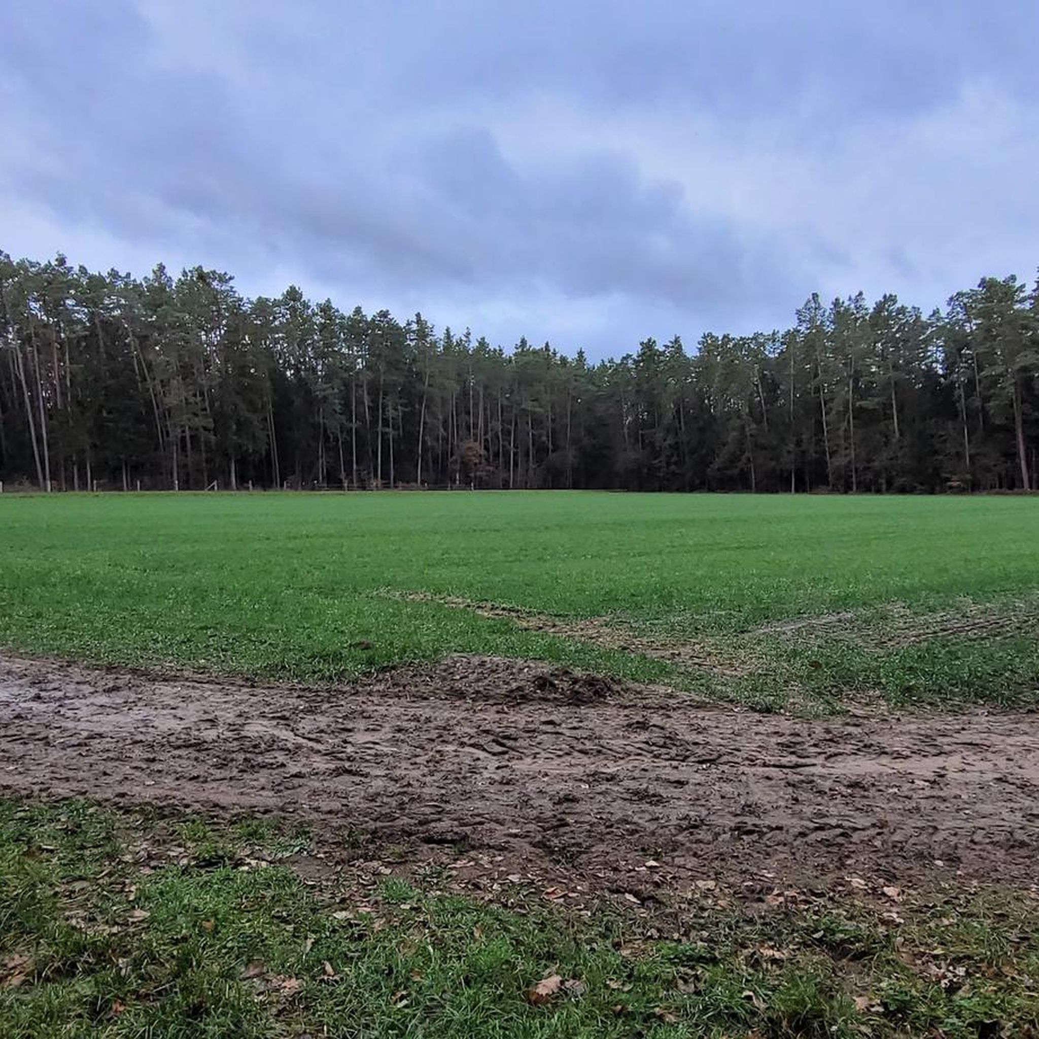
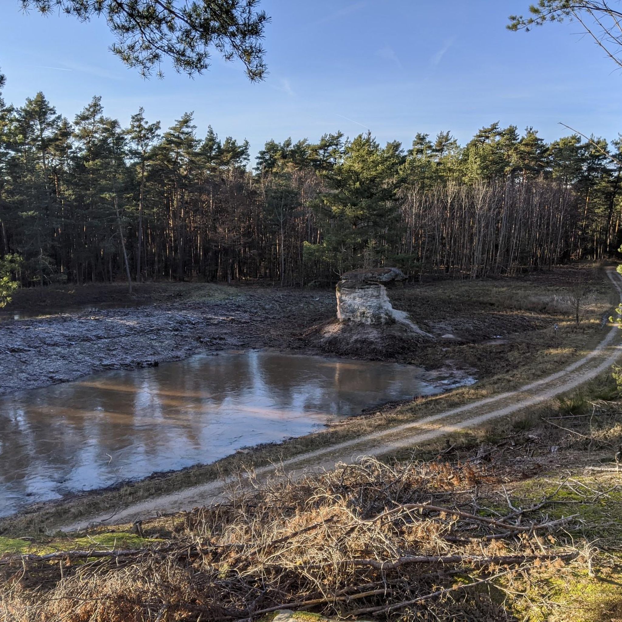
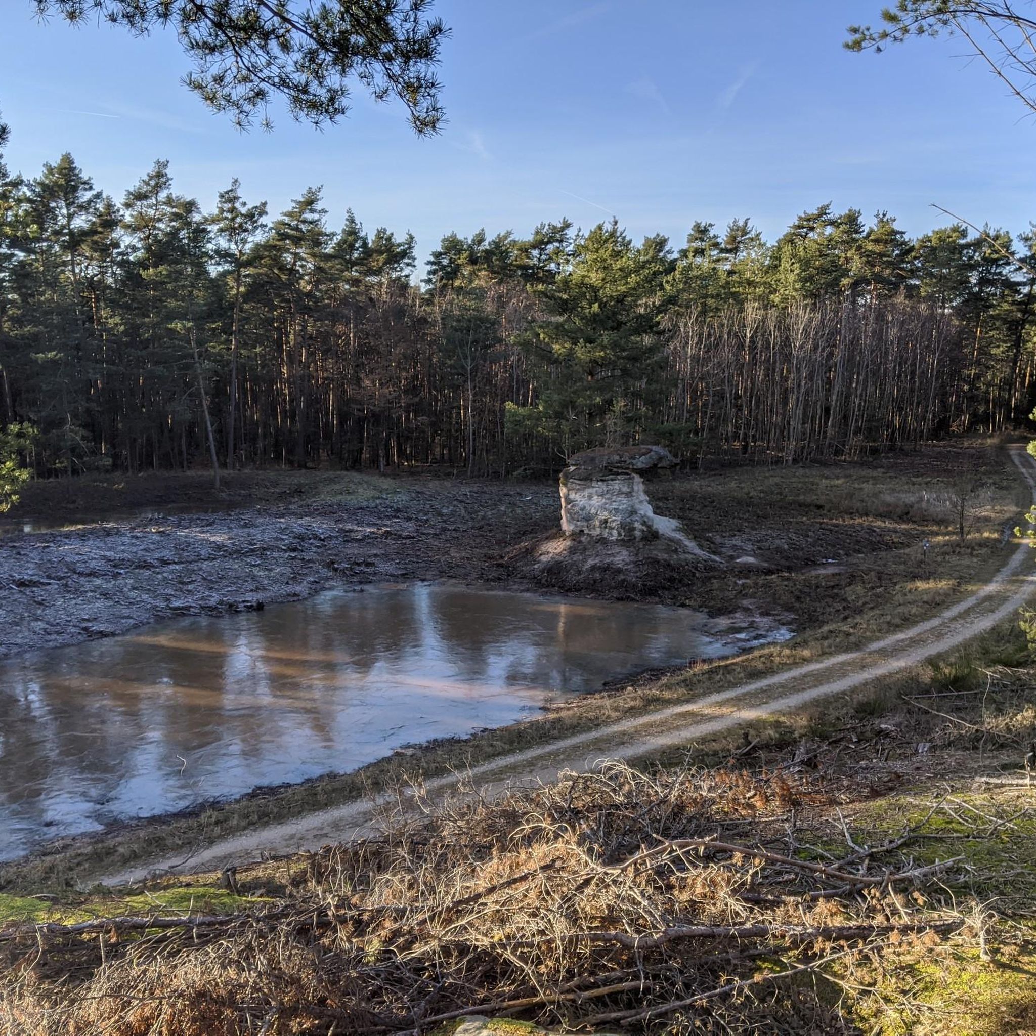
Tips from the Community

@Engelbertson: ...yes that's true, but the Yanks have been gone for a long time too :) But you can still see the bunker facilities through the fence.
0
0


View into the Indian Gorge. The Muckenbach "gorge" contains the Upper Burgsandstein geological layer. It is 150 meters long and up to 10 meters deep.
2
0

The quarry was first mentioned around 1600 and supplied high-quality sandstone for construction in Nuremberg and Erlangen. It remained in active operation until 1912. Later, a popular tourist destination developed there, complete with an inn, which was demolished by the US military after World War II. Today, remnants of the old rock cellar still remain.
5
0

Other municipalities should look at such approaches and emulate them.
4
0

From here, you have a beautiful view of the municipality of Kalchreuth. The town lies at the foothills of the Franconian Alb. If you need a bite to eat, you'll find a small selection of places to stop for refreshments in the village.
1
0

Easy-to-drive solid gravel highway with heavy traffic;
1
0
Frequently Asked Questions
How many gravel bike trails are available in Dormitzer Forst?
Dormitzer Forst offers a wide selection of gravel bike trails, with over 340 routes available. These range from easy to difficult, ensuring there's something for every skill level.
What kind of terrain can I expect when gravel biking in Dormitzer Forst?
You can expect a diverse mix of terrain, primarily consisting of a network of forest roads and unpaved paths. The area is known for its extensive woodlands and varied elevations, including some challenging ascents and scenic trails. The 'Dormitzer Straße' is a notable wide, unpaved gravel path, ideal for gravel cyclists.
Are there any easy or beginner-friendly gravel routes in Dormitzer Forst?
Yes, Dormitzer Forst has over 70 easy gravel routes. A good option for a more relaxed ride is the Minderleinsmühle – Protected Forest Memorial Stone Uttenreuth loop from Großgeschaidt, which is 24.9 km long with moderate elevation gain.
What natural features or historical sites can I discover along the gravel routes?
Dormitzer Forst is rich in natural and historical points of interest. You might encounter unique geological formations like the 'Jungfernsitz' rock formation or the 'Tropfender Fels' (Dropping Rock). Tranquil spots like the 'Dürerquelle' (Dürer Spring) and the 'Sambach-Weiher' ponds are also present. For historical context, look out for the 'Bannwalddenkmal' commemorating the forest's protected status. You can also find highlights like the Bitterbach Gorge or the Stadelner Waterwheel nearby.
What do other gravel bikers say about the trails in Dormitzer Forst?
The gravel routes in Dormitzer Forst are highly regarded by the komoot community, with an average rating of 4.5 stars from over 575 reviews. Riders often praise the quiet woodlands, diverse scenery, and the well-maintained unpaved forest roads that make for an enjoyable gravel biking experience.
Are there any longer gravel routes for experienced riders seeking a challenge?
Absolutely. For experienced riders looking for a longer and more challenging ride, consider the Pear Tree with Rest Area – Forest Trail in Middle Franconia loop from Kalchreuth. This difficult route spans 52.7 km and features significant elevation gain through the forest.
Can I find circular gravel routes in Dormitzer Forst?
Yes, many of the gravel routes in Dormitzer Forst are designed as loops, allowing you to start and finish at the same point. For example, the Wilder Sebalder Reichswald – View of Kalchreuth loop from Kalchreuth is a popular 33 km circular trail through dense forest.
Are there any routes that pass by ponds or water features?
Yes, some routes will take you past tranquil water features. The Energiewald Gravel Path – Weiher Ponds Near Weiher loop from Großgeschaidt is a moderate 48 km route that specifically leads through varied forest landscapes and past peaceful ponds.
What is the highest point in Dormitzer Forst that can be reached by gravel bike?
While specific routes to the highest point aren't detailed, the Winterleite stands at 401 meters and is the highest elevation within the forest. Many routes will offer varied terrain and ascents, providing opportunities to experience the higher sections of the forest.
Are there any specific areas to look out for wildlife?
The extensive woodlands of Dormitzer Forst, particularly within the larger Nuremberg Reichswald, provide a rich habitat for wildlife. Keep an eye out for the Fallow Deer Enclosure Tennenloher Forst or the Przewalski Horse Enclosure, Tennenloher Forest, which are nearby attractions offering opportunities to observe animals.
Are there any routes that offer good viewpoints?
Yes, routes that traverse higher elevations or open sections of the forest can offer scenic views. The View of Kalchreuth – Kalchreuther Berg loop from Heroldsberg Nord is a moderate 34.1 km route that specifically highlights a view of Kalchreuth, suggesting good vantage points.
Most popular routes around Dormitzer Forst
Most popular attractions around Dormitzer Forst

Get inspired with the komoot mobile app


Explore more
Browse the best Gravel rides in other regions.
