The best gravel rides around Mariaposching
4.6
(29)
269
riders
27
rides
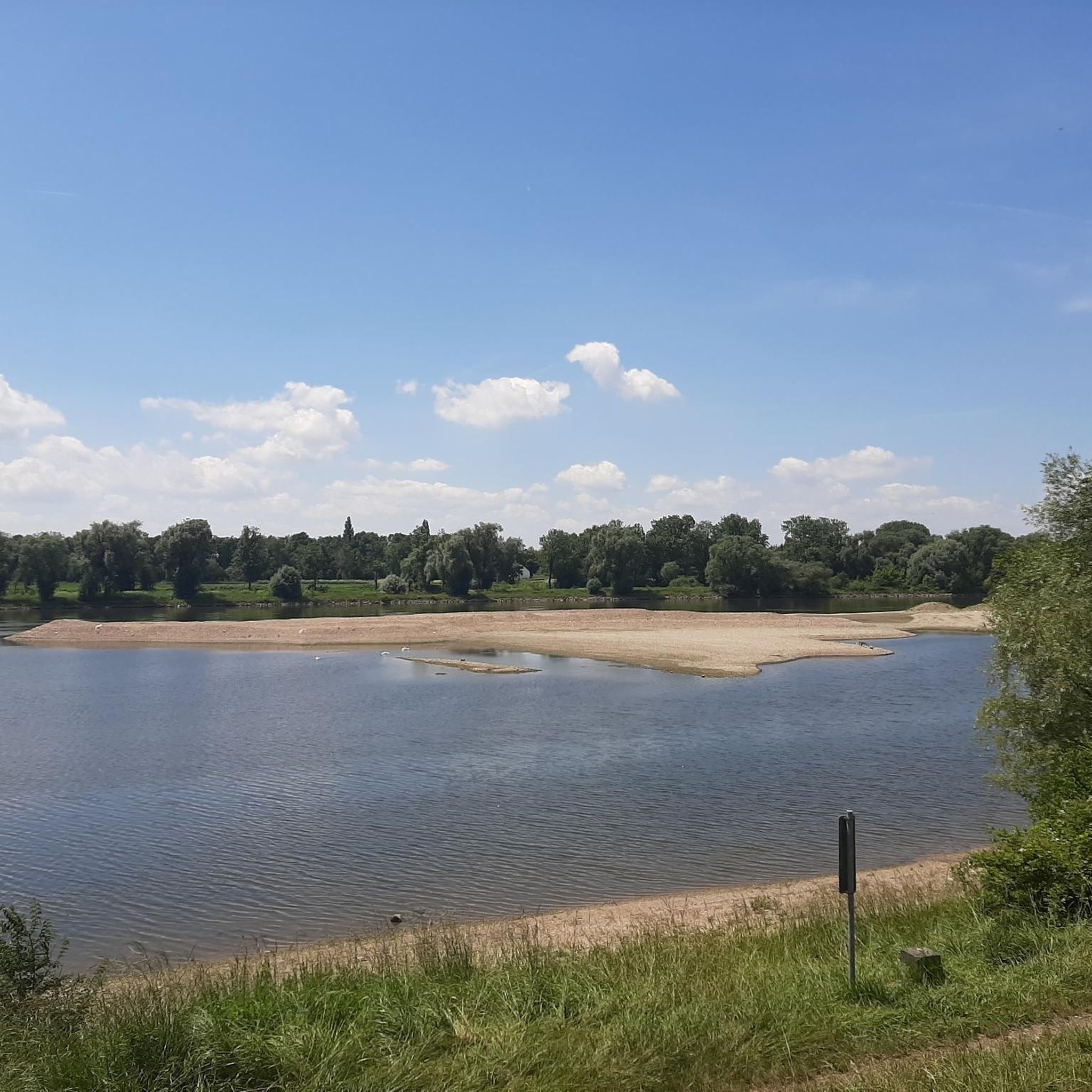
Gravel biking around Mariaposching offers diverse terrain within Lower Bavaria, characterized by its proximity to the Danube River and the Bavarian Forest. The region features extensive floodplain landscapes along the Danube, providing flat to gently rolling paths suitable for gravel bikes. Further inland, the area transitions into the varied topography of the Bavarian Forest, with mixed forests and rolling hills. This combination creates a network of both paved and unpaved paths, including gravel roads.
Best gravel bike trails around Mariaposching
…Last updated: July 2, 2026
4.6
(5)
44
riders
Hard gravel ride. Very good fitness required. You may need to push your bike for some segments of this route.
5.0
(4)
35
riders
67.7km
04:10
250m
250m
Moderate gravel ride. Good fitness required. Mostly paved surfaces. Suitable for all skill levels.

Sign up for free
5.0
(1)
19
riders
Moderate gravel ride. Good fitness required. Mostly paved surfaces. Suitable for all skill levels.
3.0
(1)
14
riders
Moderate gravel ride. Good fitness required. Mostly paved surfaces. Suitable for all skill levels.
4.7
(3)
33
riders
79.5km
03:58
180m
180m
Moderate gravel ride. Good fitness required. Mostly paved surfaces. Suitable for all skill levels.
Get access to more routes and recommendations from other explorers.
Sign up for free
Already have an account?
Our route recommendations are based on thousands of hikes, rides, and runs completed by other people on komoot.
Start today with a free account
Your next adventure awaits.
Login or Signup
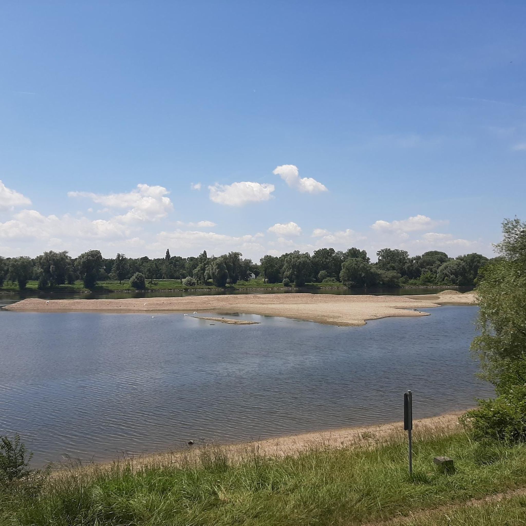
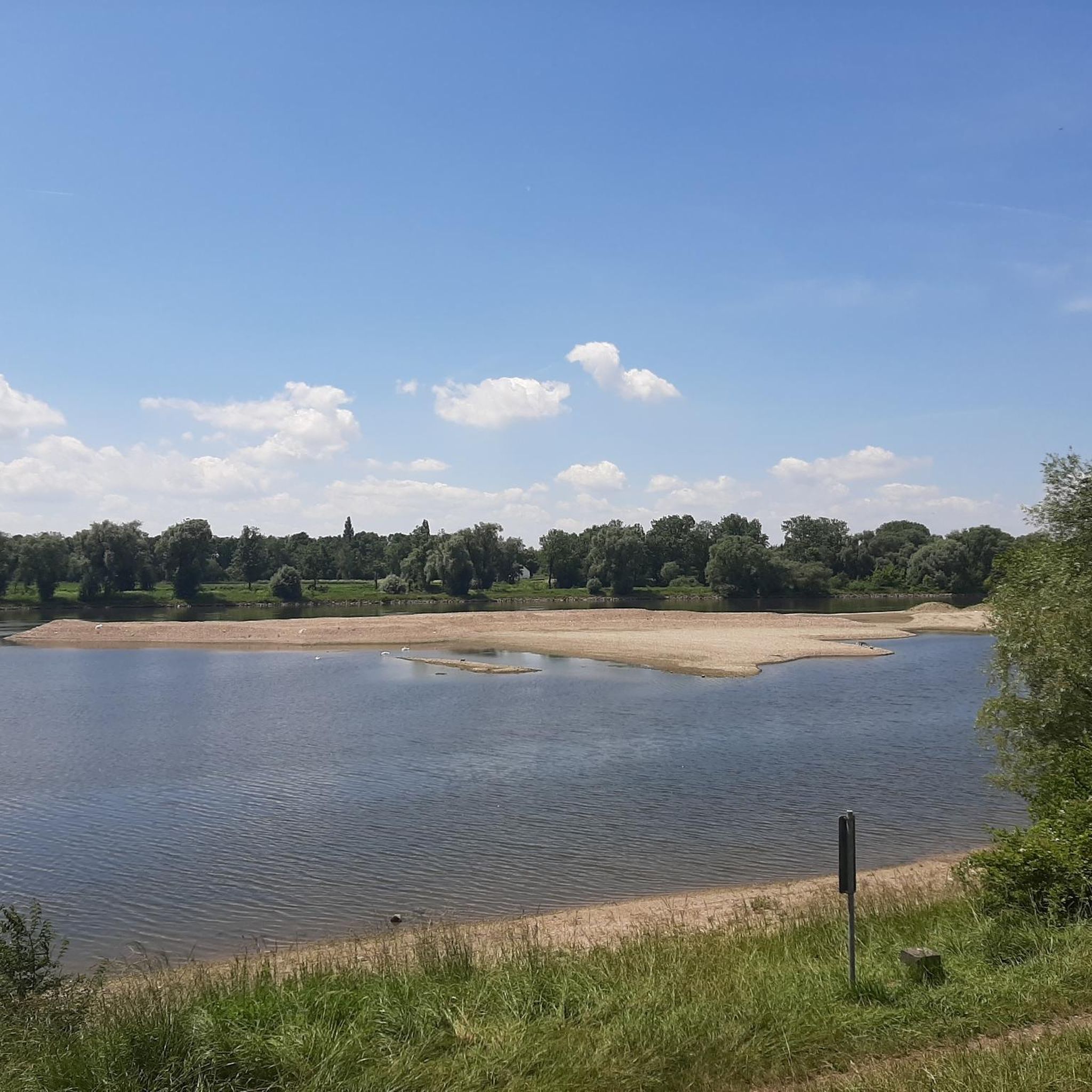
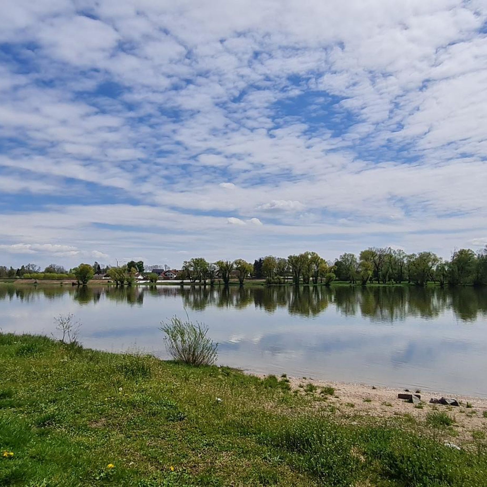
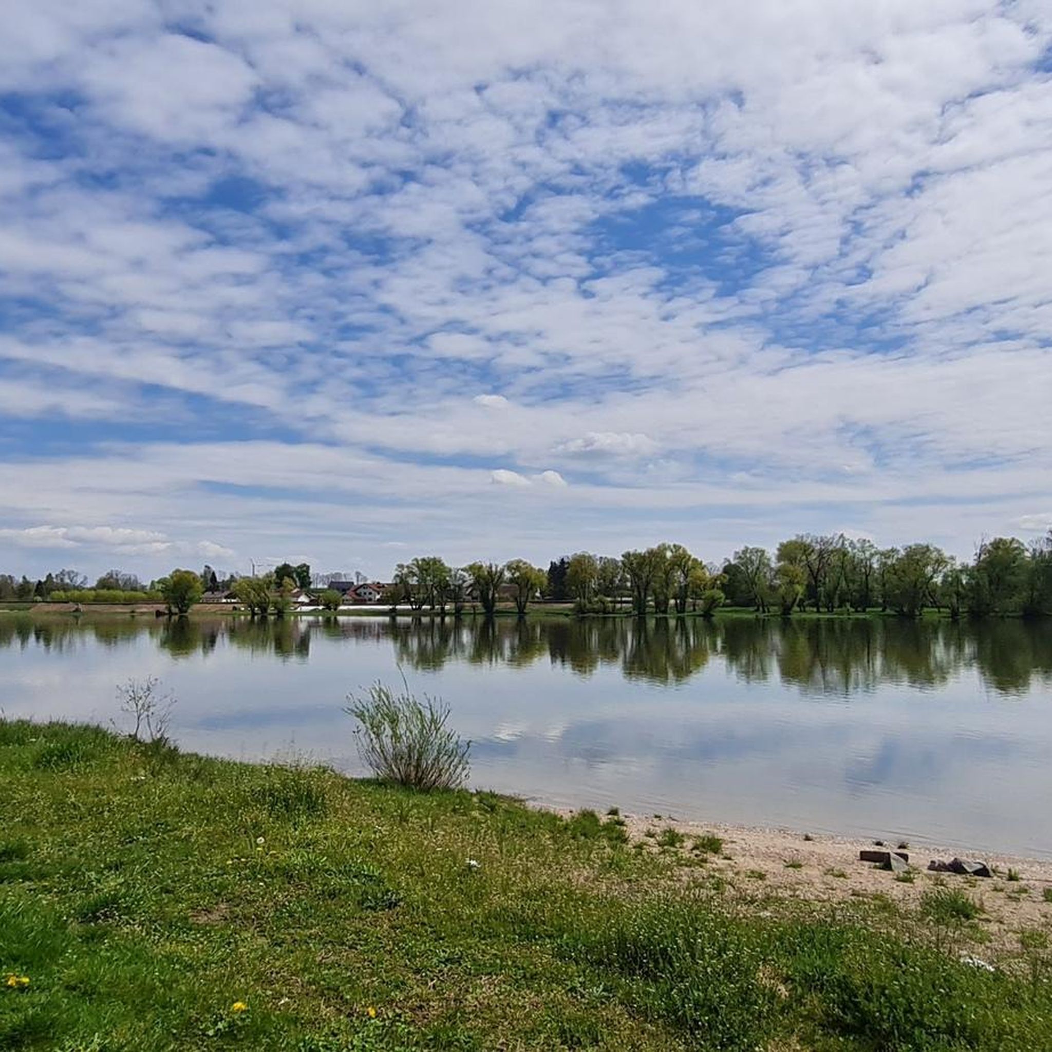
Tips from the Community

Very varied river cycle path with lots of shade and a good, stable surface. Lots of nature!
0
0

The Hilgartsberg is primarily known for the castle ruins of the same name, which majestically perch on a steep slope above the Danube in the Lower Bavarian market town of Hofkirchen (Passau district). It is considered one of the most historic sites in the region.
0
0

Inn P51 in Eichendorf
0
0

very beautiful bridge away from cars and traffic
1
0

Finish line for "Radler" fans... let's go
1
0
A lot of nature that is worth looking at not only with your head on the speedometer
3
0
The parking space, operated by the motorboat club at the marina
1
0

Towards Passau, the cycle path runs under the Danube Bridge. According to the navigation instructions from Komoot, you should cross the busy road on the left. It's dangerous.
1
0
Frequently Asked Questions
How many gravel bike trails are there around Mariaposching?
Mariaposching and its surrounding area offer over 40 gravel bike trails, catering to various skill levels. You'll find a good mix, including 13 easy routes, 16 moderate routes, and 13 more challenging options.
What kind of terrain can I expect on gravel bike trails near Mariaposching?
The terrain around Mariaposching is quite diverse. You can expect a blend of flat to gently rolling paths along the Danube River's floodplains, as well as more varied topography with mixed forests and rolling hills as you venture closer to the Bavarian Forest. Routes often combine asphalt roads with gravel paths, offering a true gravel biking experience.
What do other gravel bikers say about the trails in Mariaposching?
The gravel biking routes in Mariaposching are highly rated by the komoot community, with an average score of 4.5 stars from more than 20 reviews. Riders often praise the varied terrain, the scenic riverine landscapes, and the opportunities to explore both the Danube's banks and the edges of the Bavarian Forest.
Are there any circular gravel bike routes in the area?
Yes, many of the gravel routes around Mariaposching are designed as loops. For example, the Isarmündung Nature Reserve – Donausteg Deggendorf loop from Deggendorf Hbf offers a moderate 41.8 km ride, while the Danube Riverside loop from Deggendorf Hbf is a longer, moderate 79.8 km option.
Are there routes suitable for beginners or families?
Yes, Mariaposching offers 13 easy gravel routes that are generally suitable for beginners or families looking for a more relaxed ride. These often follow the flatter sections along the Danube River, providing scenic views without significant climbs. Always check the route's difficulty and elevation profile on komoot before you go.
Are there challenging gravel routes for experienced riders?
Absolutely. For experienced gravel bikers seeking a challenge, there are 13 difficult routes available. These routes often venture into the more varied topography towards the Bavarian Forest, featuring longer distances and more significant elevation changes. An example is the 67.6 km difficult route, Ettling Reservoir Dam – Isar River loop from Deggendorf Hbf, which explores varied terrain around the Isar River.
What natural features or viewpoints can I see along the gravel bike trails?
Many gravel trails in the region offer stunning natural views. You'll frequently ride alongside the Danube River and through its extensive floodplains. Highlights include the Isar Wave Plattling and the serene Grimmeisen Pond. As you head towards the Bavarian Forest, you'll encounter mixed forests and rolling hills, providing diverse landscapes.
Are there any cultural or historical landmarks near the gravel bike routes?
While gravel biking focuses on natural landscapes, the region does offer cultural points of interest. The Bogenberg ⛪ from the old Danube arm is a notable religious building visible from some routes. Further afield, you can explore the Quintana Museum for Roman history or Egg Castle, a 16th-century fortress, which are accessible nearby.
What is the best time of year for gravel biking in Mariaposching?
Spring, summer, and early autumn are generally the best times for gravel biking in Mariaposching. During these seasons, the weather is typically mild, and the natural landscapes along the Danube and towards the Bavarian Forest are at their most vibrant. Always check local weather forecasts before heading out, especially during shoulder seasons.
Are dogs allowed on the gravel bike trails?
Many natural paths and forest roads in the Mariaposching area are generally dog-friendly, especially if your dog is accustomed to running alongside a bike or can be carried in a trailer. However, it's always recommended to keep dogs on a leash, especially in nature reserves or areas with wildlife, and to check specific trail regulations before you go.
Where can I park my car when gravel biking near Mariaposching?
Parking options are typically available in towns and villages along the Danube, such as Deggendorf or Plattling, which serve as common starting points for many routes. Look for designated public parking areas, often near train stations or town centers, which provide convenient access to the trail network.
Is there public transport access to the gravel trails around Mariaposching?
Yes, towns like Deggendorf and Plattling, which are common starting points for gravel routes, are well-connected by public transport, including train services. This allows cyclists to reach the trailheads and potentially combine biking with public transport for longer tours or to return to their starting point.
Are there any cafes or places to stop for refreshments along the trails?
Yes, many gravel routes pass through or near charming villages and towns along the Danube, where you can find cafes, pubs, and restaurants to refuel. It's a good idea to check the komoot route planner for points of interest and amenities marked along your chosen trail to plan your stops effectively.
Most popular routes around Mariaposching
Most popular attractions around Mariaposching

Get inspired with the komoot mobile app


Explore more
Browse the best Gravel rides in other regions.
