The best gravel rides around Achslach
4.5
(15)
144
riders
20
rides
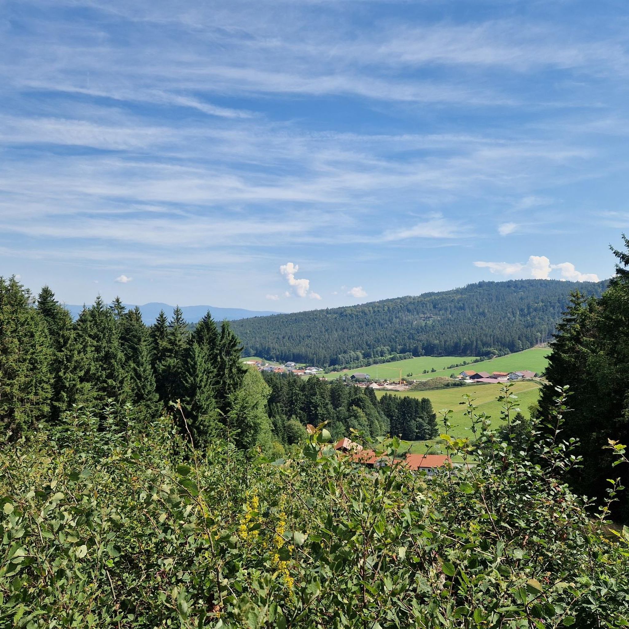
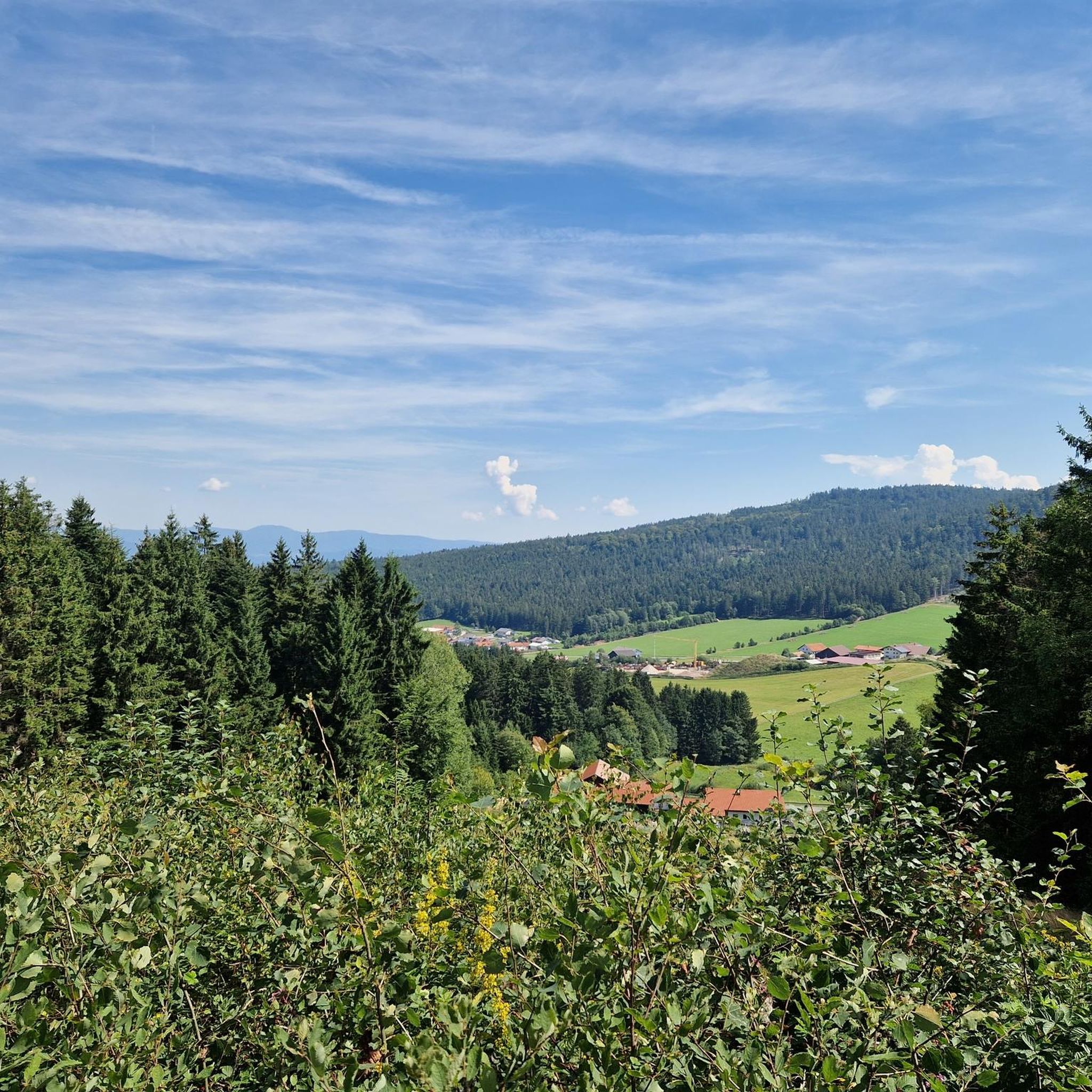
Gravel biking around Achslach features a landscape characterized by rolling hills, dense forests, and river valleys, including the Regen River. The region offers varied terrain suitable for gravel bikes, from established cycle paths to more challenging forest tracks. Elevations range from gentle inclines to more significant climbs towards local summits. This area provides a mix of natural environments for gravel biking exploration.
Best gravel bike trails around Achslach
- The most popular gravel bike trail is Lake Blaibach – Bridge over…
Last updated: July 2, 2026
16
riders
67.4km
04:17
1,000m
1,000m
Hard gravel ride. Very good fitness required. Mostly paved surfaces. Suitable for all skill levels.
5.0
(1)
6
riders
52.9km
03:34
990m
990m
Hard gravel ride. Very good fitness required. Mostly paved surfaces. Suitable for all skill levels.

Sign up for free
5
riders
23.5km
01:56
740m
750m
Hard gravel ride. Very good fitness required. Mostly paved surfaces. Suitable for all skill levels.
5
riders
Hard gravel ride. Very good fitness required. Mostly paved surfaces. Suitable for all skill levels.
4
riders
Hard gravel ride. Very good fitness required. Mostly paved surfaces. Suitable for all skill levels.
Get access to more routes and recommendations from other explorers.
Sign up for free
Already have an account?
Our route recommendations are based on thousands of hikes, rides, and runs completed by other people on komoot.
Start today with a free account
Your next adventure awaits.
Login or Signup

Tips from the Community

quiet bike path on an old railway line
0
0
beautiful old train station building in Konzell
0
0
from the Donau-Regen-Radweg you have this view of the castle
0
0


Beautiful old bridge over the Regen.
1
0

not on Saturdays, as the lovely Wieswirt beer garden is unfortunately closed then.
0
0


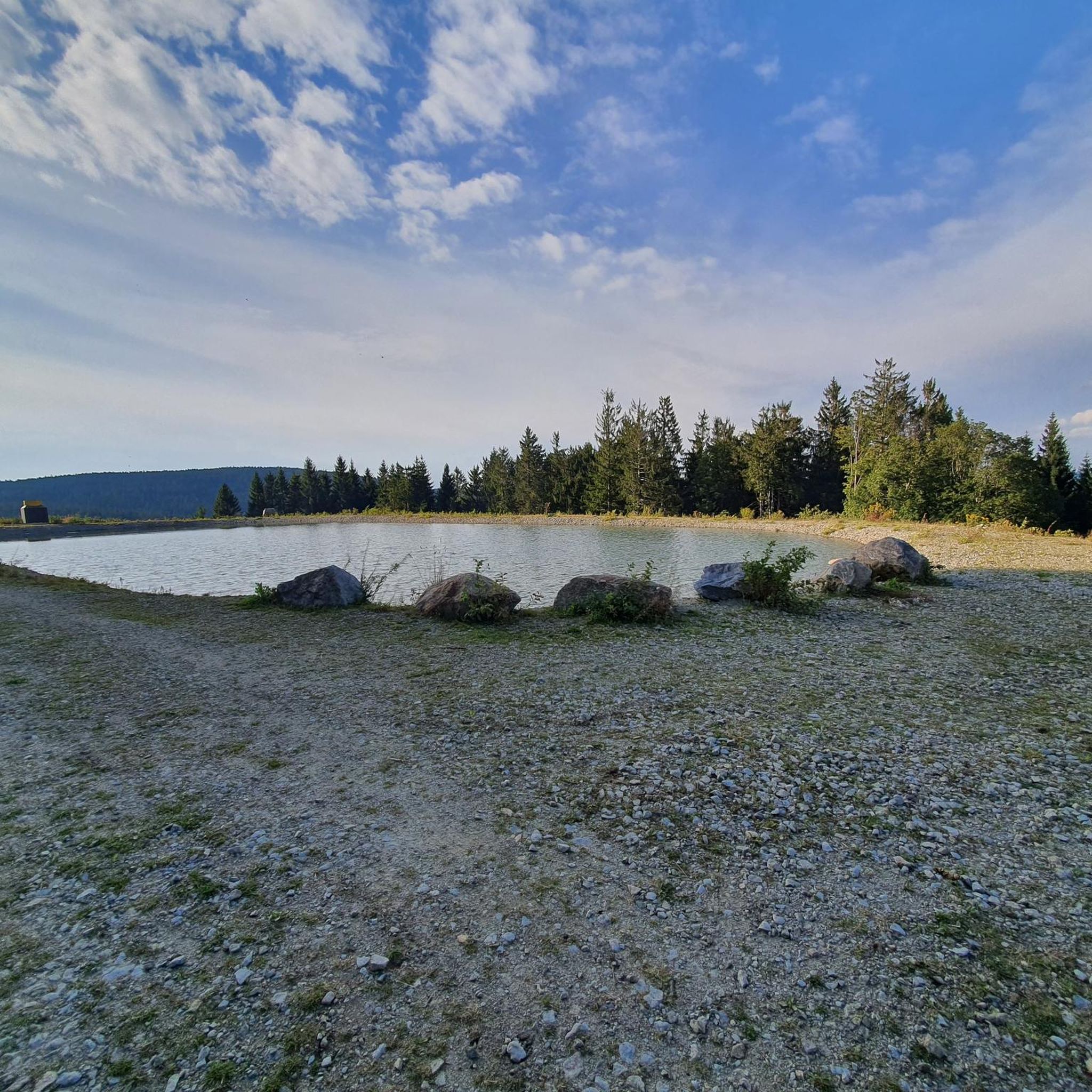
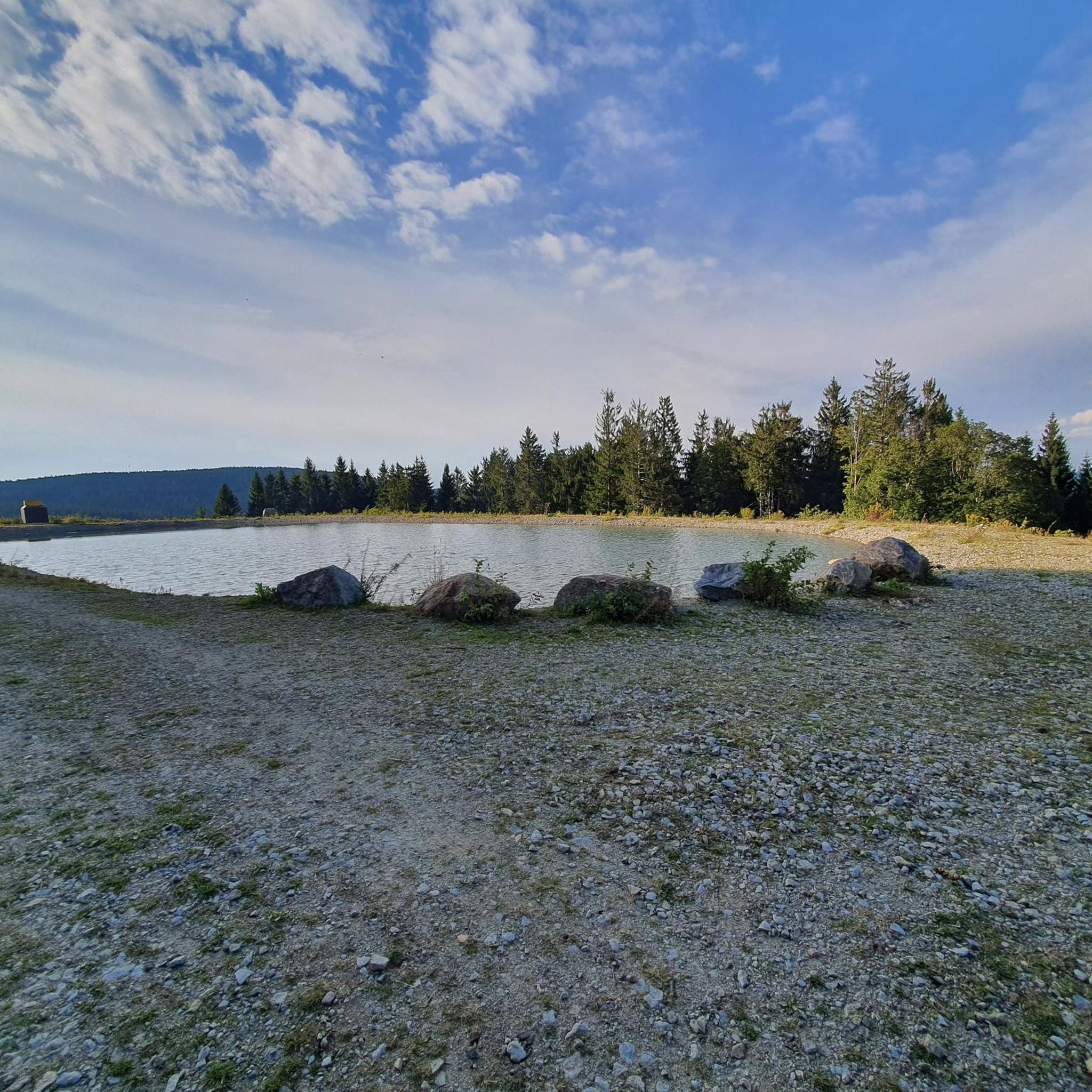
Start at parking lot A.. Höllensteinsee, cross the power station, then turn right towards Krailing, in Blaibach coffee break at Café Lieblingsplatz, continue towards Bad Kötzting (circular route)..over Blaibacher See, turn right (path BL15) to the Höllsteinsee power station, about 5 km..partially well described..
0
0
Frequently Asked Questions
What kind of terrain can I expect on gravel bike trails around Achslach?
The gravel bike trails around Achslach are characterized by a mix of rolling hills, dense forests, and picturesque river valleys, particularly along the Regen River. You'll encounter varied terrain, from established cycle paths to more challenging forest tracks, with elevations ranging from gentle inclines to significant climbs towards local summits.
Are there easy gravel bike routes suitable for beginners in Achslach?
Yes, Achslach offers some easier options. While many routes are more challenging, there is at least one designated easy route among the 33 available. These paths typically follow flatter sections along river valleys or through less hilly forest areas, providing a good introduction to gravel biking in the region.
How many challenging gravel bike trails are there in Achslach?
For experienced gravel bikers seeking a challenge, Achslach features a significant number of difficult routes. Out of the 33 available trails, 25 are rated as difficult, offering substantial climbs and technical sections through the forested hills and varied terrain of the region.
What are the typical distances and durations for gravel bike routes in Achslach?
Gravel bike routes in Achslach vary widely in length and duration. For example, the Pröller Summit – View from the Pröller summit loop from Sankt Englmar is about 14.6 miles (23.5 km) and takes around 2 hours 27 minutes, while longer routes like the Danube-Regen Cycle Path – Old Konzell Railway Station loop from Neukirchen can be over 43 miles (69 km).
Are there any circular gravel bike routes in the Achslach area?
Yes, many of the gravel bike trails in Achslach are designed as loops, allowing you to start and finish at the same point. Examples include the Lake Blaibach – Bridge over the River Regen loop from Neukirchen and the Danube-Regen Cycle Path – Danube-Regen Cycle Path loop from Münchshöfen, which offer convenient circular journeys.
What are some scenic viewpoints or landmarks I can see along the gravel bike trails?
The region around Achslach offers several scenic spots and landmarks. You can find stunning views from the Pröller summit cross or the Hirschenstein. The View of Schönau – View of the Regen River loop from Geiersthal also provides beautiful vistas of the Regen River.
When is the best season for gravel biking in Achslach?
The best season for gravel biking in Achslach is typically from spring through autumn. During these months, the weather is generally mild, and the trails through forests and along river valleys are most enjoyable. While winter riding is possible, some higher elevation trails may be affected by snow or ice.
Are there any bike parks or dedicated mountain biking areas near Achslach?
Yes, for those interested in more specialized biking experiences, the Geißkopf Summit and Bike Park is a notable attraction nearby. It offers various trails, including the Flow Country Trail Geisskopf and an Uphill Flow Trail Bavarian Forest, catering to different skill levels.
What do other gravel bikers enjoy most about riding in Achslach?
The gravel biking experience in Achslach is highly rated by the komoot community, with an average score of 4.8 stars from over 10 reviews. Riders often praise the diverse landscape, which includes river valleys, forested hills, and open areas, as well as the variety of routes suitable for different ability levels.
Is it possible to access gravel bike trails in Achslach using public transport?
While specific public transport connections to every trailhead are not detailed, the region is part of the Bavarian Forest, which has some regional bus and train services. It's advisable to check local transport schedules for connections to towns like Neukirchen or Sankt Englmar, which serve as starting points for several routes.
Are there any places to stop for refreshments or food along the gravel bike routes?
Many routes pass through or near small towns and villages in the Achslach region, such as Neukirchen or Sankt Englmar. These places often have local cafes, bakeries, or guesthouses where you can stop for refreshments. It's a good idea to plan your route and check for amenities in advance.
Most popular routes around Achslach
Most popular attractions around Achslach

Get inspired with the komoot mobile app


Explore more
Browse the best Gravel rides in other regions.
