The best gravel rides around Schlehdorf
4.6
(492)
3,011
riders
91
rides
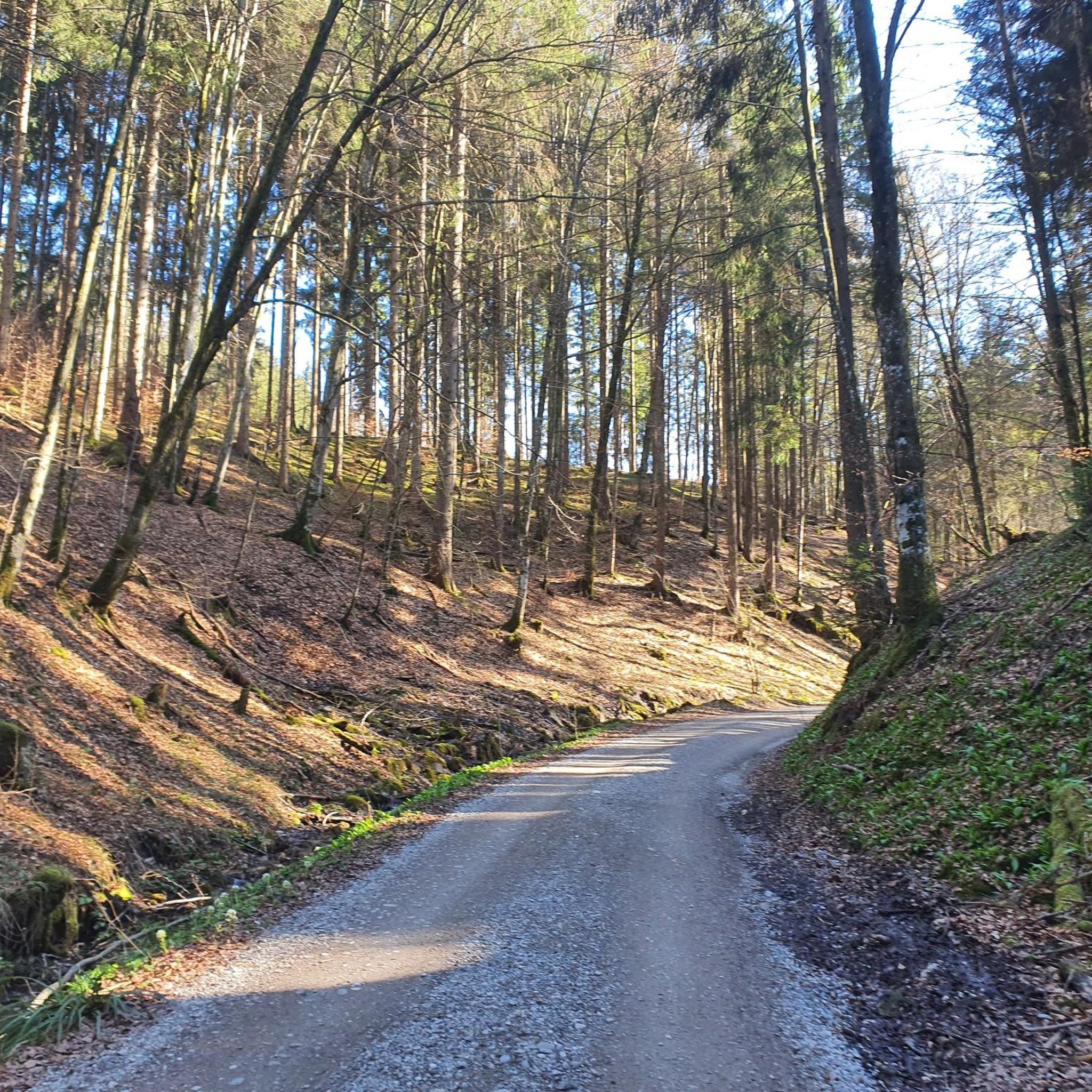
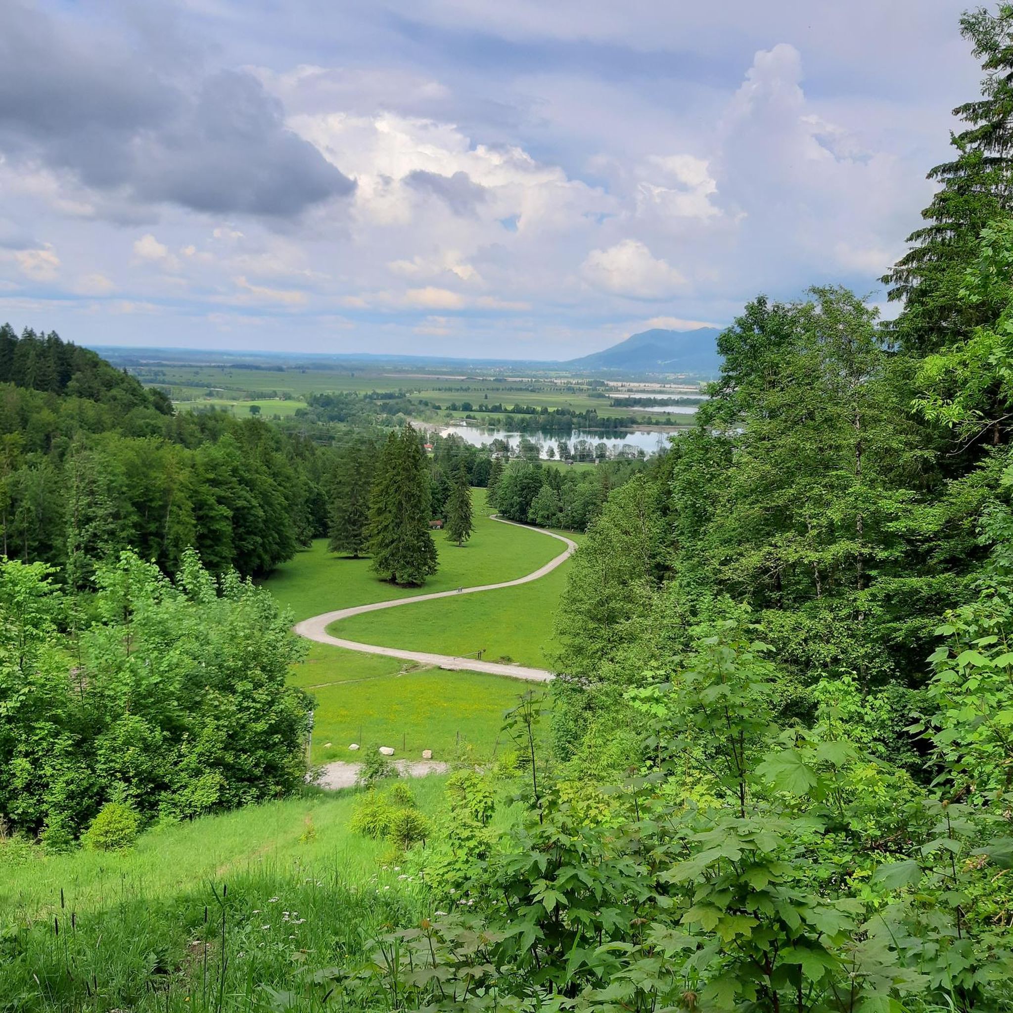
Gravel biking around Schlehdorf offers a diverse landscape characterized by rolling green hills, dense forests, and picturesque valleys. The region is situated between the Kochelsee and Walchensee lakes, providing varied terrain suitable for gravel bikes. Riders can expect a mix of surfaces, from paved sections to loose gravel and root-filled paths, allowing for exploration across different environments. The area features both gentle gradients along river paths and more demanding climbs, catering to various skill levels.
Best gravel bike trails around…
Last updated: October 6, 2026
4.7
(12)
76
riders
42.5km
02:46
630m
630m
Hard gravel ride. Very good fitness required. Mostly paved surfaces. Suitable for all skill levels.
5.0
(16)
150
riders
63.2km
03:27
580m
580m
Hard gravel ride. Very good fitness required. You may need to push your bike for some segments of this route.

4.9
(15)
92
riders
44.8km
02:30
390m
390m
Moderate gravel ride. Good fitness required. Mostly paved surfaces. Suitable for all skill levels.
4.8
(6)
62
riders
Easy gravel ride. Great for any fitness level. Mostly paved surfaces. Suitable for all skill levels.
4.5
(6)
78
riders
39.2km
02:20
460m
460m
Hard gravel ride. Very good fitness required. Mostly paved surfaces. Suitable for all skill levels.
Get access to more routes and recommendations from other explorers.
Already have an account?
Our route recommendations are based on thousands of hikes, rides, and runs completed by other people on komoot.
Start today with a free account
Your next adventure awaits.
Other adventures around Schlehdorf

Tips from the Community

From Kochelsee to its mouth in the Isar It leaves the lake on its northern edge west of Kochel, passes Benediktbeuern and Penzberg and there definitively leaves the northern foothills of the Bavarian Alps. It still flows through Eurasburg and flows into the Isar north of Wolfratshausen in the Auwald Pupplinger Au. Source https://de.wikipedia.org/wiki/Loisach
2
0
From the source to the Bavarian border The Loisach rises in the state of Tyrol between the Lechtal Alps in the west and the Mieminger Mountains in the east, below and northeast of the Fern Pass. Its sources are located in the municipality of Biberwier, near the Mittersee lake, close to the B 179. From there, its water flows northwards through the Ehrwalder Becken and then along the B 187 through Ehrwald and westwards past the Zugspitze to the German border. From Garmisch-Partenkirchen to Kochelsee On the Bavarian side, it first passes Griesen in a northeasterly direction and then flows past Grainau to Garmisch, the largest district of Garmisch-Partenkirchen. Afterwards, it continues north between the Ammergau Alps in the west and the Estergebirge in the east. Via Farchant, Oberau and Eschenlohe, as well as past Ohlstadt and Murnau, the Loisach reaches Großweil, where it turns southeast and flows into the western part of Kochelsee near Schlehdorf, north of the Herzogstand. Source https://de.wikipedia.org/wiki/Loisach
3
0
The name is based on the Indo-Germanic root *leubʰ, meaning 'dear'. It is derived with an s as a suffix. The name refers to the pleasant course of the river.[3] Earlier name forms are Liubasa (1003), Lyubasa (ca. 1052), Liubisaha (1148–1155), Livbisaha (12th century), Liubsaha (1258), Leusach (1332), Leusach (1348), Lewsach (1424), Loysach (1536) and finally Loisach in 1553.[4] Source https://de.wikipedia.org/wiki/Loisach
3
0
The Loisach is a 113.2 km[1] long, south-southwesterly and left tributary of the Isar in Austria and Germany. It originates north of the Fern Pass in Tyrol and flows into the Isar after a northeasterly course near the Bavarian town of Wolfratshausen. Source https://de.wikipedia.org/wiki/Loisach
3
0

Very clear water: In its upper reaches, the Isar often contains few organic substances and suspended solids. This allows light to penetrate deeply, and the characteristic blue and turquoise tones are perceived more strongly.
0
0

Stop and admire !!
0
0

When it's time for a little adventure again, the route runs along here, whether it's a gravel bike or a road bike. Keep in mind that along the gravel path from Fall there are some tough climbs, but everything is doable.
1
0

Beautiful view over the Staffelsee and the mountains
0
0
Frequently Asked Questions
How many gravel bike trails are available around Schlehdorf?
There are over 150 gravel bike trails around Schlehdorf, offering a wide range of options for different skill levels. You'll find 26 easy routes, 63 moderate routes, and 64 difficult routes to explore.
What kind of terrain can I expect on gravel bike routes in Schlehdorf?
The terrain around Schlehdorf is very diverse, characterized by rolling green hills, dense forests, and picturesque valleys. You'll encounter a mix of surfaces, from paved sections to loose gravel and root-filled paths, especially along river paths and through the foothills of the Alps. This variety makes gravel bikes ideal for spontaneous exploration.
Are there any easy gravel bike routes suitable for beginners or families?
Yes, Schlehdorf offers several easy gravel bike routes. An excellent option for a more relaxed ride is the View of the Bavarian Alps – Forest path along the Loisach River loop from Großweil, which is 30.8 km long and features forest paths with scenic views of the Bavarian Alps.
What are some challenging gravel bike routes in the Schlehdorf region?
For experienced riders seeking a challenge, Schlehdorf has several demanding routes. The Isar Rapids – Bad Tölz Old Town loop from Kochel am See is a difficult 123.5 km trail connecting scenic river sections with historic town views. Another challenging option is the Murnauer Moos Nature Reserve – Murnauer Moos Cycling Trail loop from Schlehdorf, a 48.6 km difficult route through a significant nature reserve.
What natural attractions can I see along the gravel bike trails near Schlehdorf?
Many gravel bike trails offer stunning views of the region's natural beauty. You can often spot the beautiful Lake Walchensee and Kochelsee. Some routes also provide panoramic views from peaks like the Herzogstand summit or the Jochberg Summit, which offer extensive vistas into the Alps.
Are there any cultural or historical landmarks accessible by gravel bike?
Yes, some routes pass by or near cultural sites. For instance, the View of the Bavarian Alps – Benediktbeuern pilgrimage site loop from Kochel takes you towards the historic Benediktbeuern pilgrimage site. Additionally, the region features attractions like Schloss Schlehdorf and the historic St. Michael Church, which can be explored in conjunction with your rides.
What do other gravel bikers say about the trails in Schlehdorf?
The gravel biking routes in Schlehdorf are highly rated by the komoot community, with an average score of 4.6 stars from over 580 reviews. Riders often praise the diverse landscapes, the mix of challenging climbs and gentle paths, and the stunning views of the lakes and mountains.
Can I find routes that are circular or loop trails?
Yes, many of the gravel bike routes around Schlehdorf are designed as circular or loop trails, allowing you to start and end at the same point. Examples include the Isar Valley – Isar Valley near Vorderriss loop from Kochel and the View of the Bavarian Alps – Forest path along the Loisach River loop from Großweil.
Are there opportunities for swimming near the gravel bike trails?
Absolutely. The region is famous for its beautiful lakes, Kochelsee and Walchensee, which are known for their excellent water quality. You can find spots like the Swimming cove at Walchensee, perfect for a refreshing dip after your ride. Many trails offer views or direct access to these lakes.
What is the best time of year for gravel biking in Schlehdorf?
Schlehdorf offers great gravel biking opportunities throughout the warmer months. Spring and autumn provide pleasant temperatures and vibrant scenery, while summer allows for combining rides with swimming in the lakes. The varied terrain means you can find suitable routes in most conditions, though winter might require specific gear for snow or ice.
Are there any routes that explore the Isar Valley?
Yes, the Isar Valley is a prominent feature in the region's gravel biking landscape. A notable route is the Isar Valley – Isar Valley near Vorderriss loop from Kochel, which is a challenging 94.4 km path exploring the extensive natural landscapes of the Isar Valley.
Most popular routes around Schlehdorf
Most popular attractions around Schlehdorf

Get inspired with the komoot mobile app


Explore more
Browse the best Gravel rides in other regions.
