The best gravel rides around Finning
4.5
(178)
944
riders
120
rides
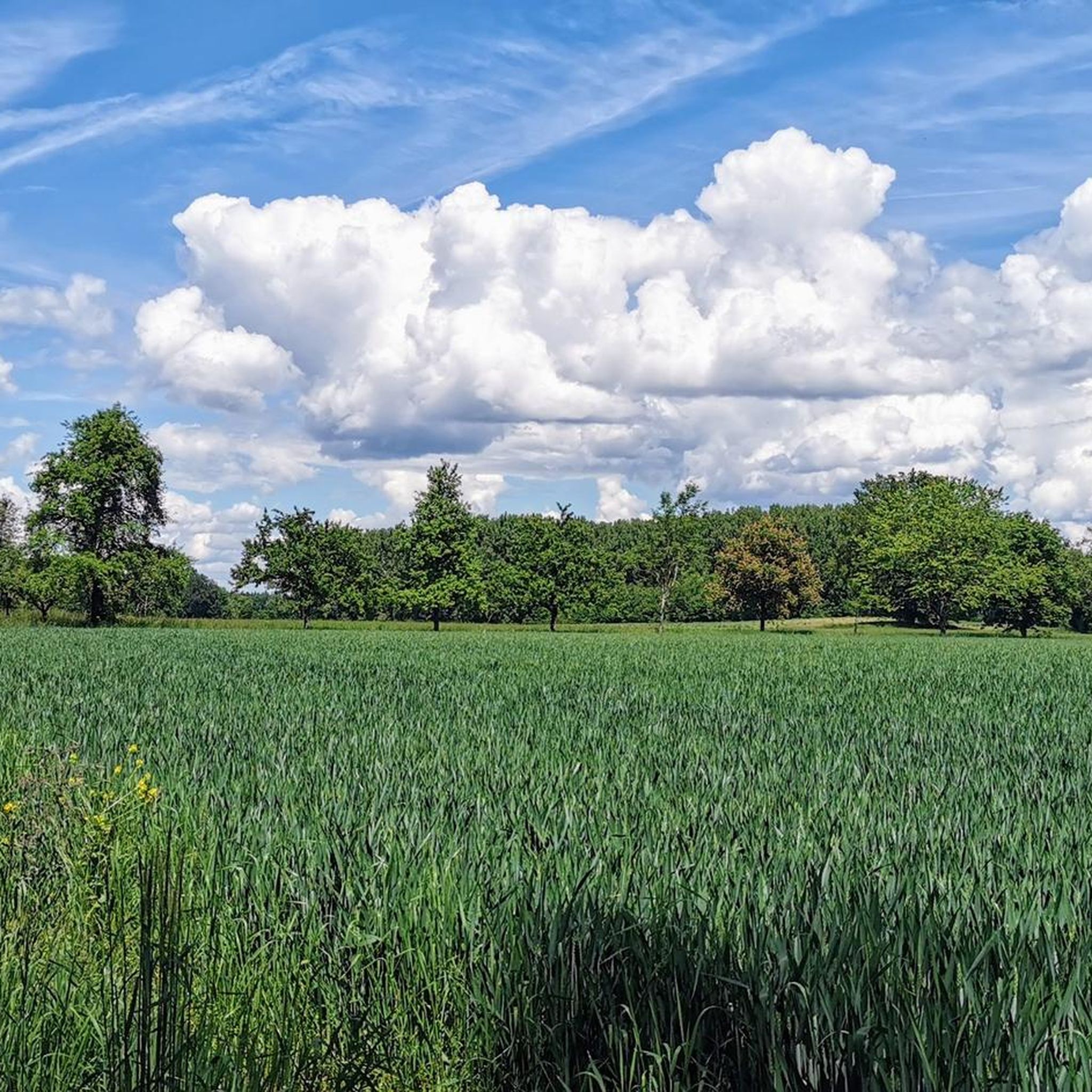
Gravel biking around Finning offers diverse terrain in Upper Bavaria, Germany. The region is characterized by its location between Ammersee and Starnberger See, featuring rolling hills, dense woodlands, and the Windach reservoir. Gravel bike trails traverse mixed surfaces, including forest paths and routes alongside water bodies, providing varied cycling experiences. The landscape includes open fields and views of the Bavarian countryside.
Best gravel bike trails around Finning
- The most popular gravel bike trail is Ammersee beach – View of the…
Last updated: June 28, 2026
5.0
(1)
23
riders
16.4km
00:54
70m
70m
Easy gravel ride. Great for any fitness level. Mostly paved surfaces. Suitable for all skill levels.
6
riders
15.6km
01:05
140m
140m
Easy gravel ride. Great for any fitness level. Mostly paved surfaces. Suitable for all skill levels.

Sign up for free
4.7
(3)
23
riders
Moderate gravel ride. Good fitness required. Mostly paved surfaces. Suitable for all skill levels.
4.5
(2)
8
riders
23.6km
01:31
190m
190m
Moderate gravel ride. Good fitness required. Mostly paved surfaces. Suitable for all skill levels.
4.0
(3)
10
riders
Moderate gravel ride. Good fitness required. Mostly paved surfaces. Suitable for all skill levels.
Get access to more routes and recommendations from other explorers.
Sign up for free
Already have an account?
Our route recommendations are based on thousands of hikes, rides, and runs completed by other people on komoot.
Start today with a free account
Your next adventure awaits.
Login or Signup
Tips from the Community

This is a great trail for hot summer days. For my taste, a little too much forest and little view of the great landscape you ride through
0
0

Very nice. There are many places along the shore to take a break or go into the water.
0
0

The Sonnendachl is always worth a detour. 🤠🔥
0
0

It's best to go in the morning when there's not much going on 😂
0
0

Short avenue from the state farm to the forest.
0
0

Up here at the "Sonnendachl" viewpoint, you can look both toward Lake Ammersee and into the hinterland, where, with a good eye, you can make out the roughly square area of the Celtic rampart. - Warning: It's truly idyllic and relaxing. Coming here is worthwhile for more than one reason. You'd love to walk along the field path right away. A wide loop would be possible, which would also lead close to the Celtic rampart (first downhill and westward, then continuing clockwise). However, the Celtic rampart is nothing more than a striking meadow! While the place is definitely special, it's a disappointment in terms of appearance. But it's always good to have a destination in the beautiful landscape!
0
1

The Lech is one of the last wild rivers in the Alps. It is known for its clear, turquoise water, created by minerals and low water temperatures. The river once played an important role as a transport route. Today, it is used to generate electricity.
0
0

Lake Ammersee is the third-largest Alpine lake in Bavaria, after Lake Chiemsee and Lake Starnberg. It has a surface area of approximately 47 km² and a maximum depth of about 80 meters. Source: Wikipedia
1
0
Frequently Asked Questions
What kind of terrain can I expect on gravel bike trails around Finning?
The gravel bike trails around Finning offer a diverse mix of terrain. You'll encounter rolling hills, dense woodlands, and paths alongside water bodies like the Windach reservoir, Ammersee, and Starnberger See. Routes often feature mixed surfaces, including forest paths and open fields, providing a varied cycling experience through the picturesque Bavarian countryside.
Are there gravel bike trails suitable for beginners or families in Finning?
Yes, Finning offers several easy gravel bike trails perfect for beginners or families. For instance, the Ammersee beach – View of the Ammersee loop from Utting is an easy 16.4 km route that takes about 55 minutes and offers beautiful views of Ammersee. Another easy option is the Gravel Path Through the Forest – Mühlbach Crossing loop from Riederau, a 15.6 km trail through forested areas.
What are the difficulty levels of gravel bike routes in the Finning area?
The Finning region caters to various skill levels. You'll find a good selection of easy routes, with 37 trails classified as such. The majority, 147 routes, are of moderate difficulty, offering a bit more challenge. There are also 49 difficult routes for experienced gravel bikers seeking more demanding terrain.
What natural features and landmarks can I see along the gravel bike trails near Finning?
Many gravel bike routes in Finning pass by stunning natural features and cultural landmarks. You can enjoy views of Lake Ammer, the Promenade at Dießen am Ammersee, and the View of the Ammersee. The region also features the Windach reservoir, and on clear days, you might even catch distant glimpses of the majestic Alps. Historical sites like St. Ottilien Monastery and Haltern castle ruins are also part of the broader regional cycling experience.
Are there any circular gravel bike routes around Finning?
Yes, many gravel bike routes around Finning are designed as circular loops, allowing you to start and end at the same point. Examples include the Ammersee beach – View of the Ammersee loop from Utting and the Wildpark trail right on the River Lech – Karolinen Bridge and the Lech Weir loop from Grünsink. The region's layout with lakes and woodlands naturally lends itself to scenic circular tours.
What do other gravel bikers say about the trails in Finning?
The gravel biking experience around Finning is highly regarded by the komoot community, boasting an average rating of 4.6 stars from over 800 reviews. More than 4,000 gravel bikers have explored the area, often praising the picturesque lakes, rolling hills, and dense woodlands that define the region's varied terrain.
Can I bring my dog on the gravel bike trails in Finning?
While many natural areas in Bavaria are dog-friendly, it's always best to check specific trail regulations, especially in protected areas like the Windach valley Flora-Fauna-Habitat. Generally, dogs on a leash are welcome on most public paths. Ensure your dog is well-behaved and that you carry waste bags to maintain the cleanliness of the trails.
Are there any specific viewpoints along the gravel routes where I can see the Alps?
On clear days, the Finning area offers opportunities to see the majestic Alps in the distance, particularly from higher vantage points. The Schlechtwiesstraße – View of Zugspitze from Finnig loop from Windach is a moderate route that specifically highlights a view of the Zugspitze, Germany's highest peak, from the Finning area.
What is the best time of year for gravel biking in Finning?
The region around Finning is beautiful throughout the warmer months. Spring and autumn are particularly vibrant, with wildflowers blooming in spring and changing leaf colors in autumn, making for a visually engaging experience. Summer offers pleasant temperatures for cycling, especially around the lakes. Winter conditions can vary, with some trails potentially becoming muddy or snowy.
Are there any places to eat or drink along the gravel bike routes in Finning?
While specific cafes or pubs directly on every trail are not listed, the charming rural villages throughout the Bavarian countryside, including Finning itself and nearby towns like Utting or Riederau, offer opportunities to find traditional Bavarian eateries and cafes. Many routes pass through or near these settlements, providing convenient stops for refreshments.
How long are the gravel bike trails around Finning on average?
The lengths of gravel bike trails around Finning vary significantly. You can find shorter, easy routes like the Gravel Path Through the Forest – Mühlbach Crossing loop from Riederau at 15.6 km, which takes about 1 hour 20 minutes. For longer rides, the Wildpark trail right on the River Lech – Karolinen Bridge and the Lech Weir loop from Grünsink covers 50.5 km, typically taking around 2 hours 45 minutes.
Is there public transport access to the gravel biking routes in Finning?
Finning is a municipality in Upper Bavaria, and while specific public transport links directly to trailheads are not detailed, the region is generally accessible. Larger towns near Finning, such as Landsberg am Lech, often have train or bus connections. From there, local buses or a short ride might connect you to the starting points of various routes. It's advisable to check local transport schedules for the most up-to-date information.
Most popular attractions around Finning

Get inspired with the komoot mobile app


Explore more
Browse the best Gravel rides in other regions.
