The best gravel rides around Leinzell
5.0
(34)
145
riders
45
rides
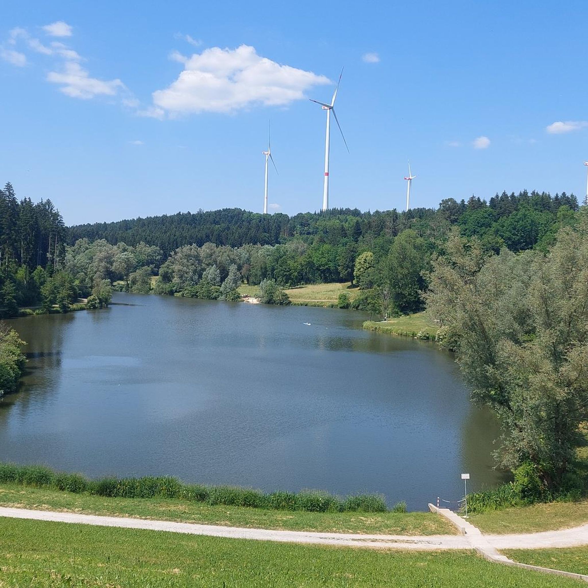
Gravel biking around Leinzell offers diverse terrain at the edge of the Swabian-Franconian Forest. The region features a mix of rolling hills, expansive green meadows, and dense forests, providing varied topography for cyclists. Picturesque valleys, such as the Leintal, and river paths along waterways like the Kocher, create scenic routes. Several reservoirs, including the Rehnenmühle Reservoir and Götzenbach Lake, are integrated into cycling paths, offering points of interest.
Best gravel bike trails around Leinzell
- The most popular gravel bike trail…
Last updated: July 2, 2026
4.6
(8)
25
riders
46.7km
02:44
520m
520m
Hard gravel ride. Very good fitness required. Mostly paved surfaces. Suitable for all skill levels.
5.0
(4)
13
riders
27.8km
01:45
310m
310m
Moderate gravel ride. Good fitness required. Mostly paved surfaces. Suitable for all skill levels.

Sign up for free
5.0
(2)
11
riders
44.6km
02:44
680m
680m
Hard gravel ride. Very good fitness required. Mostly paved surfaces. Suitable for all skill levels.
5.0
(2)
16
riders
63.3km
03:40
770m
770m
Hard gravel ride. Very good fitness required. Mostly paved surfaces. Suitable for all skill levels.
5.0
(2)
5
riders
32.6km
02:03
370m
370m
Moderate gravel ride. Good fitness required. Mostly paved surfaces. Suitable for all skill levels.
Get access to more routes and recommendations from other explorers.
Sign up for free
Already have an account?
Our route recommendations are based on thousands of hikes, rides, and runs completed by other people on komoot.
Start today with a free account
Your next adventure awaits.
Login or Signup
Tips from the Community

The history of Welzheim dates back to the time of the Roman Empire: Around 160 AD, the Romans established a fort here during the construction of the Upper Germanic-Raetian Limes border fortifications. Between the two forts and south of the western fort, a civilian settlement also developed in the following years. This vicus was thus located somewhat south of medieval and modern Welzheim. For the town's 800th anniversary in 1980, the smaller eastern fort was reconstructed and supplemented by an archaeological park in 1993; the remains of the western fort were built over in the 20th century.
1
0

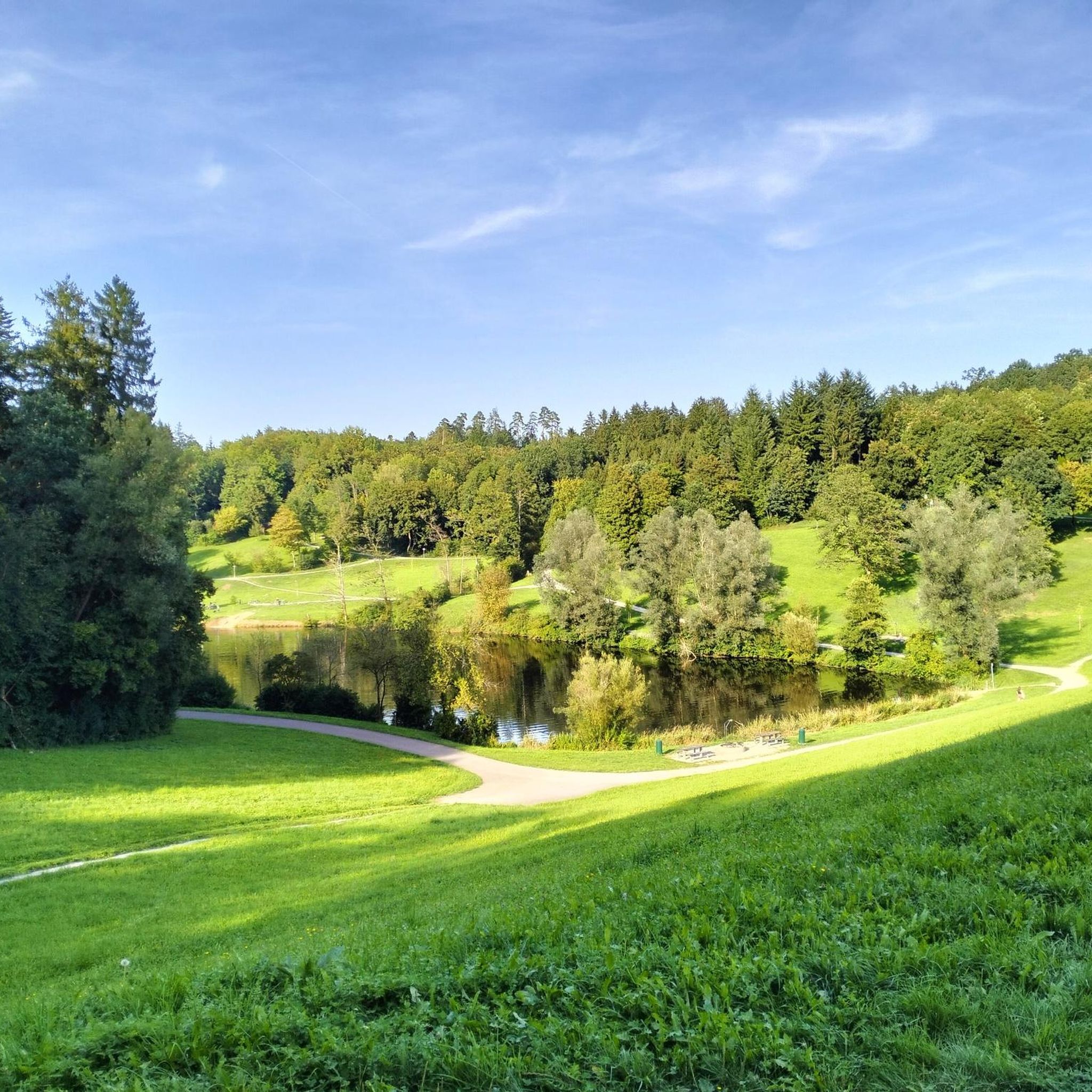
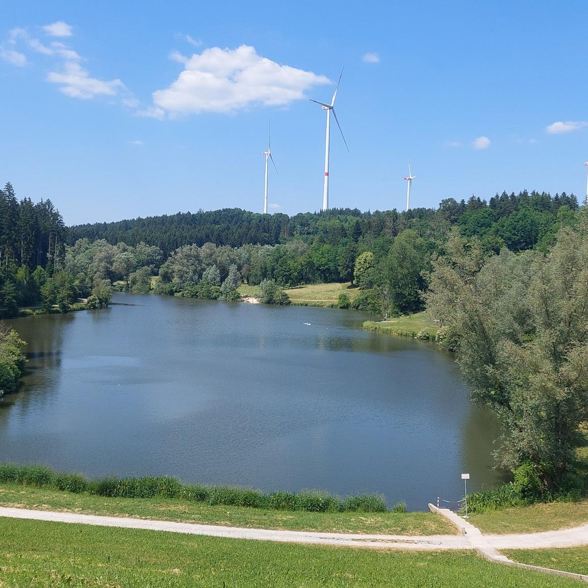
Between Täferrot and the dam, this more scenic section runs along the Lein River. Parallel to the other side of the official cycle path.
4
0


It's worth it.
1
0

very nice area for resting and relaxing - the Kneipp bath is also recommended
1
0


Frequently Asked Questions
How many gravel bike trails are available around Leinzell?
There are over 80 gravel bike routes to explore around Leinzell, offering a wide variety of experiences for cyclists. These routes range from moderate to difficult, ensuring options for different skill levels.
What kind of terrain can I expect on gravel bike trails near Leinzell?
Leinzell's gravel bike trails feature a diverse landscape of rolling hills, expansive green meadows, and dense forests. You'll also find picturesque valleys, river paths along waterways like the Kocher, and routes that integrate several reservoirs such as the Täferroter and Rehnenmühle Reservoirs. Some paths even follow former railway lines, offering smoother sections.
Are there options for different skill levels among the gravel bike routes?
Yes, the routes around Leinzell cater to various skill levels. While the majority are classified as moderate or difficult, there are also easier options available. For instance, the Kocher Cycle Path – View of the Kochertal Valley loop from Göggingen is a popular moderate route, while more challenging rides like the Hohenroden Manor – View of Aalen loop from Böbingen (Rems) offer significant elevation gains.
What natural features or landmarks can I see along the gravel bike routes?
Many routes will take you past beautiful natural features. You can cycle alongside several reservoirs, including the Rehnenmühle Reservoir and Lake Götzenbach. The region also boasts picturesque valleys like the Leintal and rivers such as the Kocher. For panoramic views, consider routes that offer glimpses of the Himmelsgarten viewing platform or the Rosenstein Castle ruins.
Are there any historical sites or castles accessible by bike?
Yes, the region offers historical points of interest. While not directly on every gravel route, some paths will bring you close to sites like Untergröningen Castle, a 14th-century castle housing a museum. You might also encounter historic mills along river paths, adding a touch of charm to your ride.
Are there any circular gravel bike routes in the area?
Absolutely. Many of the gravel bike routes around Leinzell are designed as loops, allowing you to start and end at the same point. Examples include the Rehnenmühle Reservoir – Götzenbachsee Reservoir loop from Lindach, which takes you around two scenic water bodies, and the extensive View of Plüderhausen – Plüderhäuser See loop from Eschach.
Can I find family-friendly gravel bike routes around Leinzell?
While many routes involve rolling hills and some challenging sections, the varied terrain means there are also gentler paths suitable for families. Routes that follow former railway lines, like parts of the Hohenstaufenbahn Rail Trail, offer less steep climbs. Look for routes with lower elevation gain and shorter distances for a more relaxed family outing.
Are there places to eat or rest along the trails?
Yes, you'll find options for refreshments and breaks. The area features several huts and cabins, some of which are forest inns or restaurants. For example, the Forest Inn "Wild Garlic Hut" and Forest Restaurant Meck are popular spots. Many routes also pass through villages where cafes and pubs can be found.
What are the typical surface types on Leinzell's gravel trails?
The gravel trails around Leinzell offer a mix of surfaces. You can expect well-maintained gravel paths, forest roads, and some paved sections, especially when passing through villages or along river paths. The former railway lines provide smoother, less technical stretches, while other areas might feature more rugged forest tracks.
Is parking available for cyclists near the trailheads?
Yes, parking is generally available in and around Leinzell, particularly near popular starting points for cycling routes. Many villages and recreational areas provide designated parking spaces suitable for cyclists. It's advisable to check specific route descriptions for detailed parking information if you have a particular starting point in mind.
What do other gravel bikers say about the trails in Leinzell?
The gravel biking experience around Leinzell is highly rated by the komoot community, with an impressive average score of 4.8 stars from over 40 reviews. Cyclists often praise the diverse terrain, the scenic beauty of the forests and valleys, and the well-integrated reservoirs that provide beautiful points of interest along the rides.
Most popular attractions around Leinzell

Get inspired with the komoot mobile app


Explore more
Browse the best Gravel rides in other regions.
