The best gravel rides around Niedertiefenbach
4.6
(41)
72
riders
32
rides
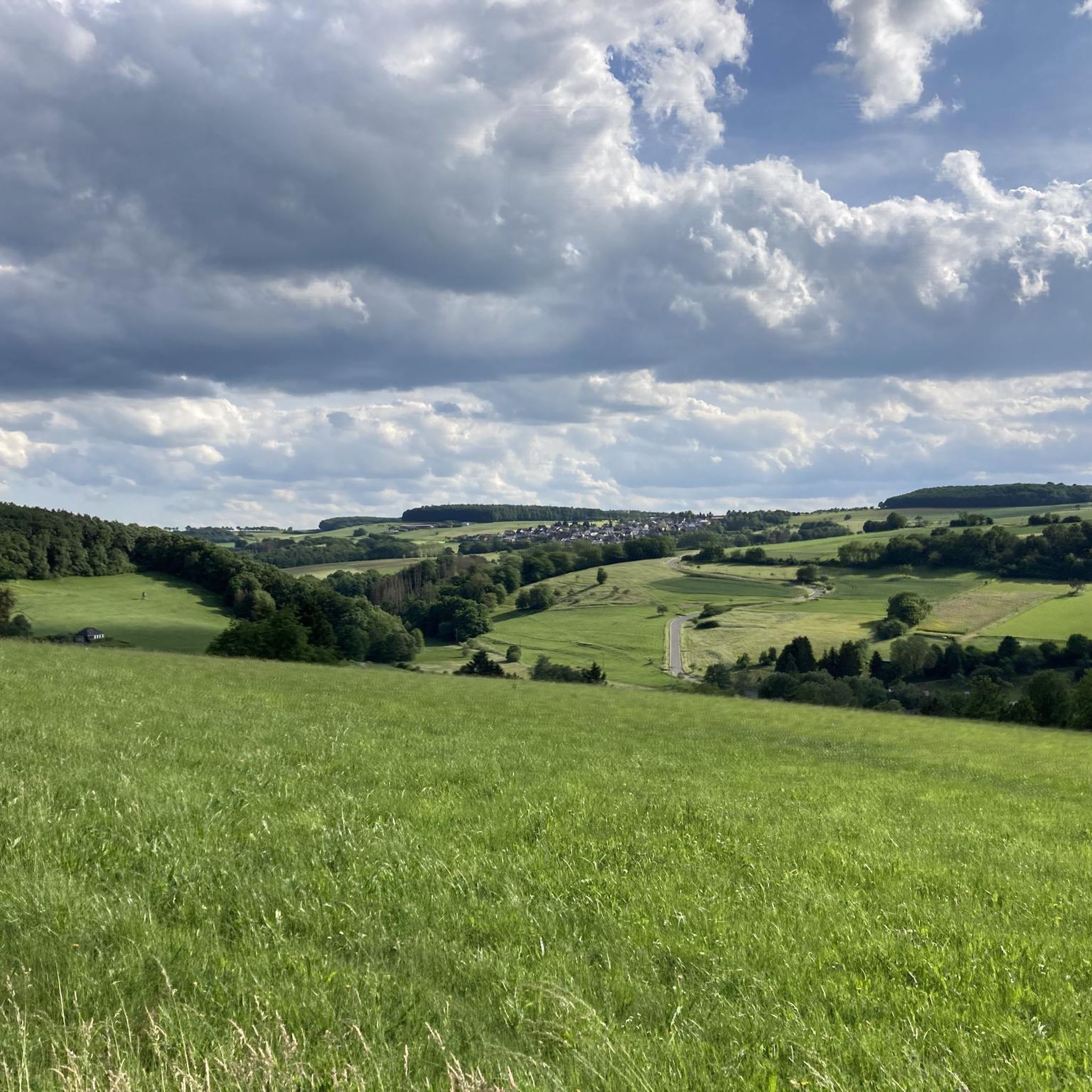
Gravel biking around Niedertiefenbach offers diverse terrain within the Rhein-Lahn-Kreis district of Rhineland-Palatinate. The region features extensive forest cover and unpaved roads, providing ample opportunities for off-road exploration. Riders can find well-compacted gravel surfaces along the Lahn River valley and navigate varied landscapes including ascents into the Hunsrück hills. This area is characterized by its rural setting, offering a mix of flowing sections and challenging climbs.
Best gravel bike trails around Niedertiefenbach
- The most popular gravel bike trail is Hauserbachsee – View of Hasenbach Valley loop from Ehr, a 21.8 miles (35.0 km) trail that takes 2 hours 15 minutes to complete. This difficult route offers views of the Hasenbach Valley.
- Another top favourite among local gravel bikers is Grauer Kopf (543 m) – Roman Fort Nassau loop from Ergeshausen, a moderate 18.7 miles (30.1 km) path. This route includes the Grauer Kopf peak and passes a Roman Fort.
- Local gravel bikers also love the View of Hasenbach Valley – Heisebäumchen Viewpoint loop from Singhofen, a 34.5 miles (55.5 km) trail leading through varied terrain, often completed in about 4 hours 52 minutes.
- Gravel biking around Niedertiefenbach is defined by extensive forest paths, the scenic Lahn River valley, and the rolling Hunsrück hills. The network offers options for different ability levels, from moderate rides to more difficult challenges.
- The routes in Niedertiefenbach are highly rated by the komoot community with an average score of 4.6 stars from over 40 reviews. More than 80 gravel bikers have used komoot to explore Niedertiefenbach's varied terrain.
Last updated: July 16, 2026
4.7
(9)
23
riders
35.0km
02:16
420m
420m
Hard gravel ride. Good fitness required. You may need to push your bike for some segments of this route.
4.0
(2)
6
riders
29.9km
02:13
440m
440m
Moderate gravel ride. Good fitness required. Mostly paved surfaces. Suitable for all skill levels.

Sign up for free
5.0
(1)
4
riders
55.3km
03:52
810m
810m
Hard gravel ride. Very good fitness required. Mostly paved surfaces. Suitable for all skill levels.
4.5
(6)
11
riders
Moderate gravel ride. Good fitness required. Mostly paved surfaces. Suitable for all skill levels.
2
riders
41.2km
02:59
560m
560m
Hard gravel ride. Very good fitness required. Mostly paved surfaces. Suitable for all skill levels.
Get access to more routes and recommendations from other explorers.
Sign up for free
Already have an account?
Our route recommendations are based on thousands of hikes, rides, and runs completed by other people on komoot.
Start today with a free account
Your next adventure awaits.
Login or Signup
Tips from the Community

The Holzhausen Roman Fort is an impressive example of Roman military architecture on the Upper Germanic Limes—now a UNESCO World Heritage Site. It is idyllically situated in the forest near Holzhausen an der Haide in the Rhein-Lahn district and is one of the best-preserved Limes forts in Germany.
1
0

cozy corner and beautiful view
0
0

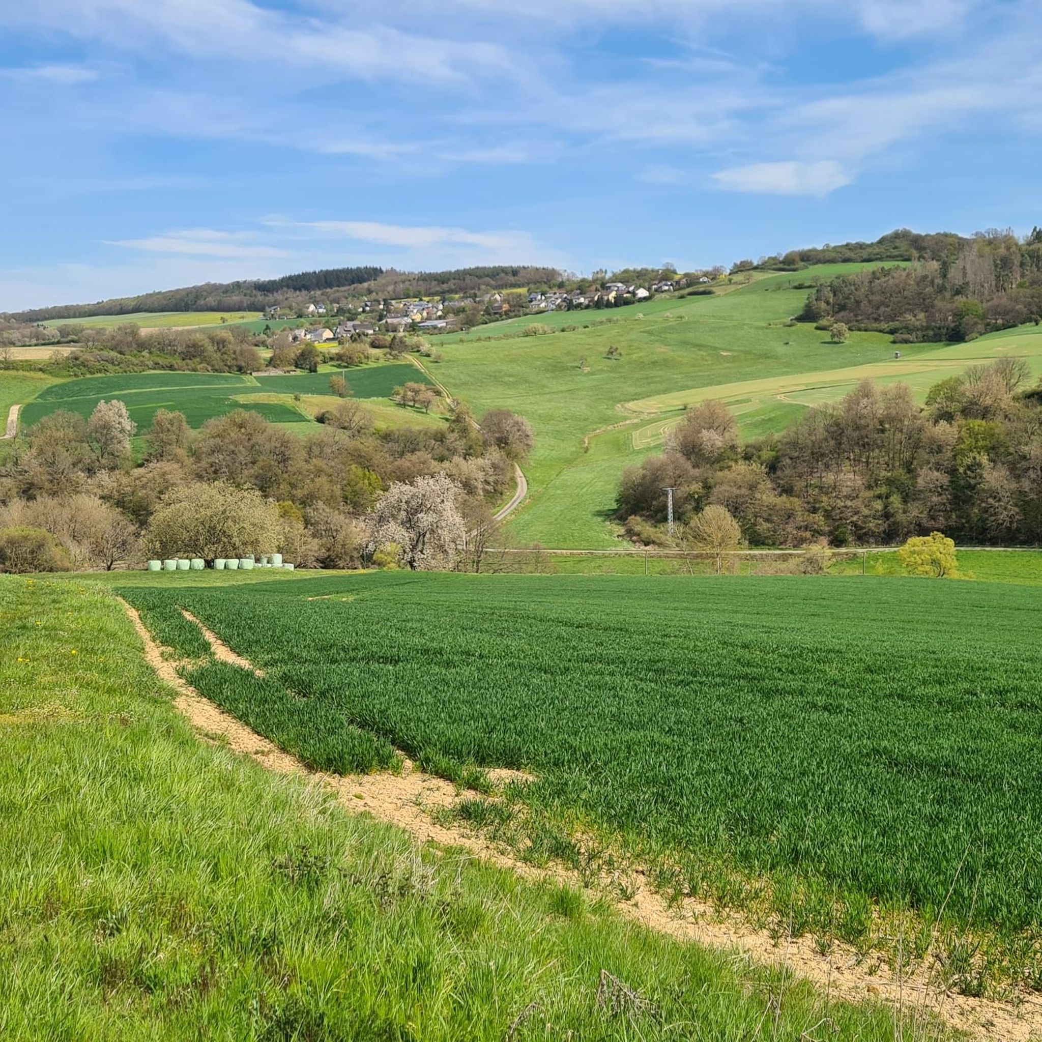
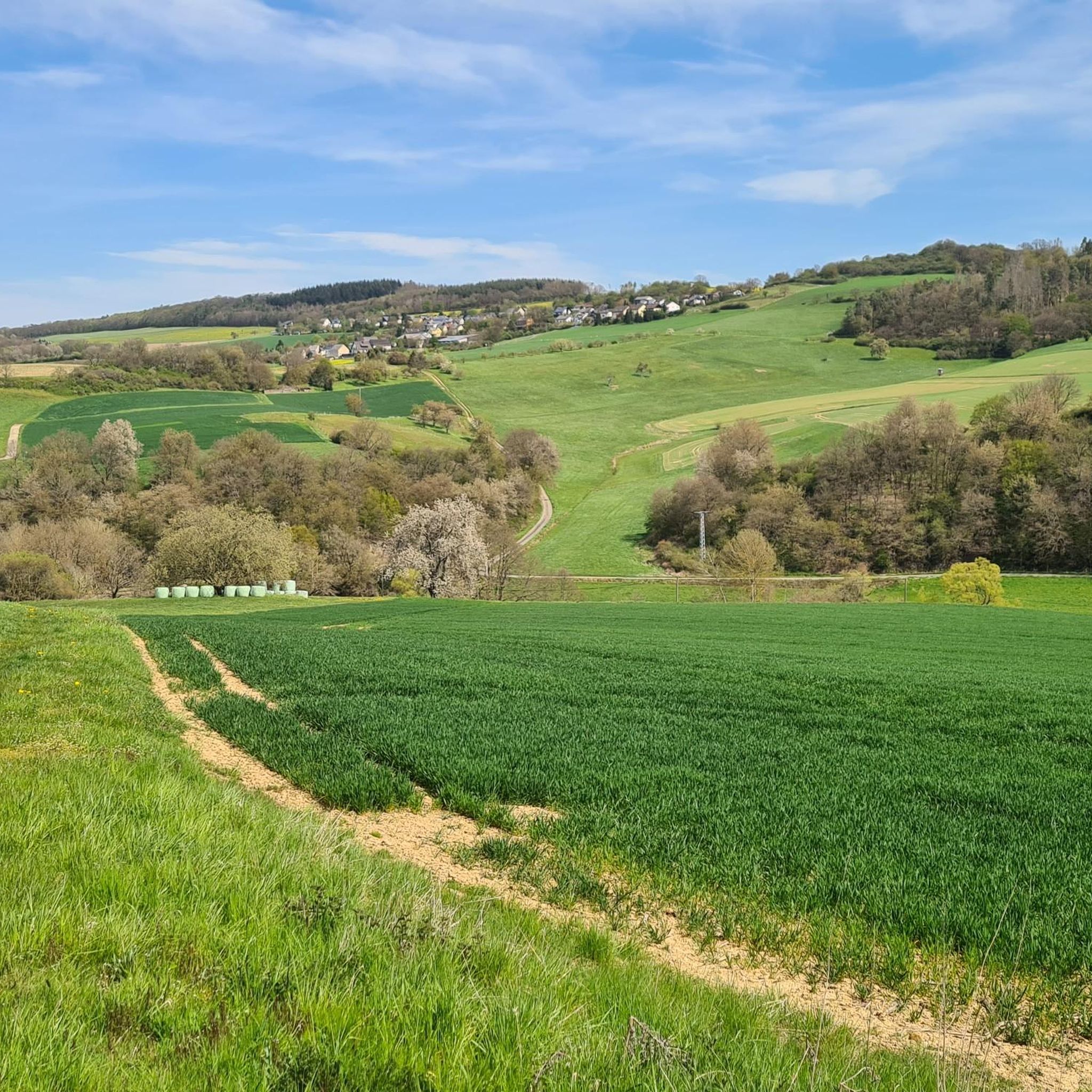
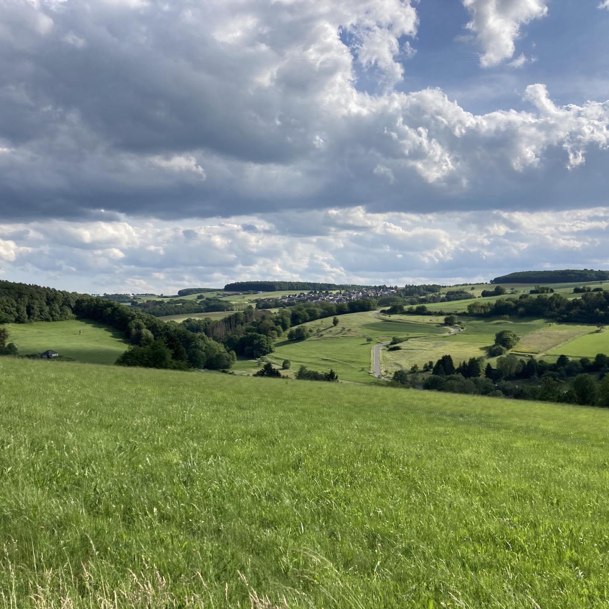
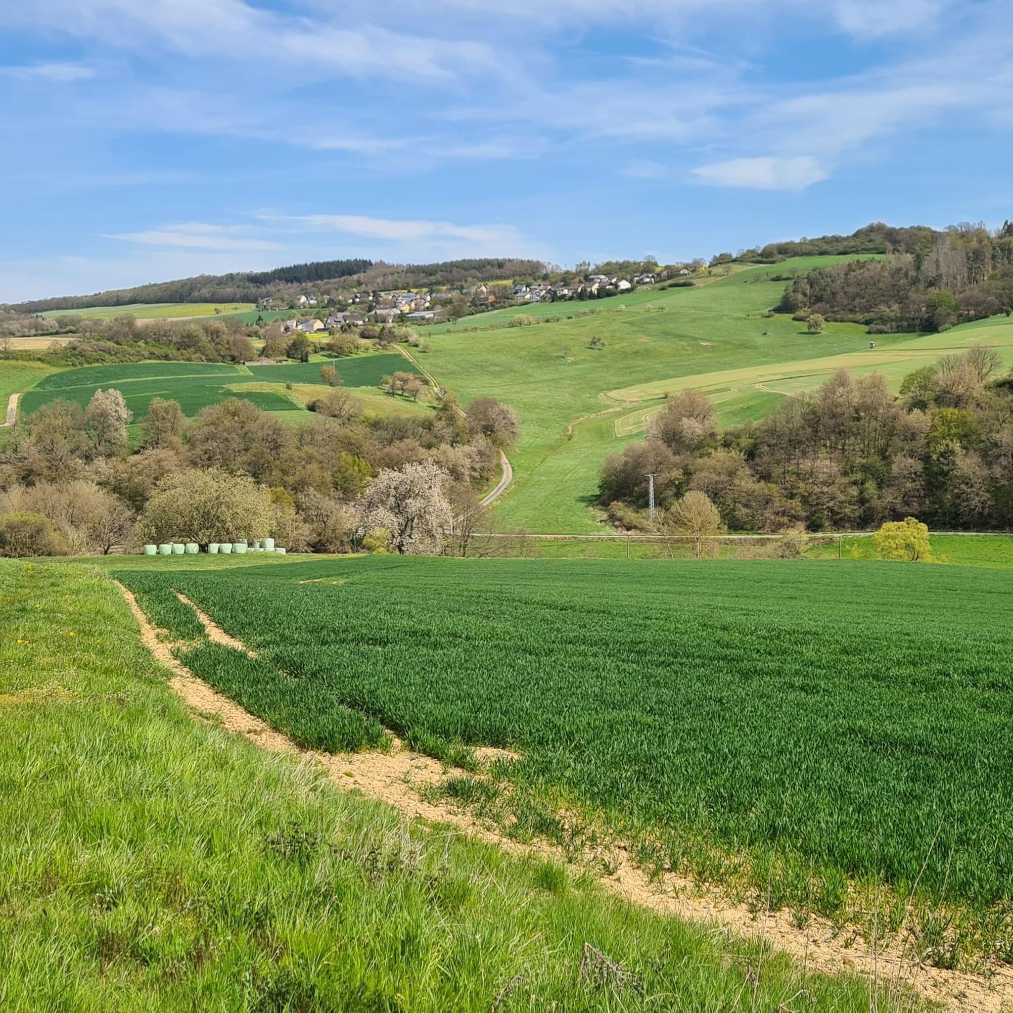
A beautiful rest area with breathtaking views over the Einrich and far into the Taunus Mountains. Katzenelnbogen and the small villages lie at your feet.
0
0

Coming from Hahnstätten towards Katzenelnbogen/Nastätten, wonderful panoramic view of Katzenelnbogen and surroundings
0
0

The Hauserbachsee, created in 1970 by building a dam, is a reservoir near Miehlen that is about 500 meters long and over 8 meters deep. Surrounded by lovingly landscaped paths, meadows and seating areas, it offers visitors opportunities for relaxation, while swimming and sailing on the lake are prohibited to protect the ecological balance.
0
0

Not far from the Hessenweg, a great alternative when the weather is too hot.
0
0

The lake is 500m long and over 8m deep at the overflow. The total surface area of the lake is 32,000 square meters. The lake provides a habitat for a variety of fish - up to 5,000 animals. The lake is operated and maintained as a fishing lake by the Miehlen fishing club.
0
0

This is a reconstruction of the small Roman fort in Pöhl, which was located directly on the Limes, which is indicated here by a small wall. There is a small museum in the fort and a few other information boards outside the fort.
0
0
Frequently Asked Questions
How many gravel bike trails are available in Niedertiefenbach?
Niedertiefenbach offers a wide selection of gravel biking opportunities, with nearly 40 routes available for exploration. These trails traverse diverse landscapes, from dense forests to the scenic Lahn River valley and the rolling Hunsrück hills.
What are the difficulty levels of gravel bike trails in Niedertiefenbach?
The trails around Niedertiefenbach cater to various skill levels. You'll find a good mix, with 4 easy routes perfect for beginners, 13 moderate paths offering a balanced challenge, and 20 difficult trails for experienced riders seeking more demanding ascents and technical sections.
Are there any family-friendly gravel bike routes in the area?
While the region features many challenging routes, some of the easier trails, particularly those with well-compacted gravel surfaces along the Lahn River valley, can be suitable for families. Always check the route details for elevation and terrain to ensure it matches your family's ability.
Can I bring my dog on the gravel bike trails around Niedertiefenbach?
Yes, the extensive forest paths and rural settings around Niedertiefenbach are generally dog-friendly. When cycling with your dog, please ensure they are well-behaved, kept on a leash where required, and that you respect local wildlife and other trail users. Always carry water for your pet.
Are there circular gravel bike routes available?
Absolutely. Most of the gravel bike routes in Niedertiefenbach are designed as loops, allowing you to start and finish at the same point. For example, the Hauserbachsee – View of Hasenbach Valley loop from Holzhausen an der Haide is a moderate 23.1 km circular route, perfect for a rewarding ride without retracing your steps.
What kind of scenery can I expect on the gravel bike trails?
The gravel bike trails in Niedertiefenbach offer a rich variety of scenery. You'll ride through extensive forests, enjoy picturesque views of the Lahn River valley, and experience the rolling landscapes of the Hunsrück hills. The region's rural idyll ensures a peaceful and natural cycling experience.
Are there any historical sites or landmarks to see along the routes?
Yes, the region is rich in history and natural beauty. You might encounter remnants of the Roman Limes, as seen on the Roman Limes Above Pohl – View of Hasenbach Valley loop from Singhofen route. Additionally, the impressive Schaumburg Castle is a notable landmark in the vicinity, and the historic old town of Limburg an der Lahn is also accessible from the region, offering cultural attractions like its Gothic cathedral.
How can I access the gravel bike trails using public transport?
The Lahn valley, which features many gravel-friendly paths, is well-served by the Lahntalbahn railway. This offers convenient transport options for cyclists, allowing you to plan one-way tours and explore different sections of the valley without needing to cycle back to your starting point.
Where can I park my car when gravel biking in Niedertiefenbach?
While specific parking spots for each trail are not listed, you can typically find parking in the starting towns or villages of the routes, such as Ehr, Ergeshausen, Singhofen, or Holzhausen an der Haide. These municipalities usually offer public parking facilities suitable for accessing the trails.
What do other gravel bikers say about the trails in Niedertiefenbach?
The gravel biking routes in Niedertiefenbach are highly regarded by the komoot community, boasting an average rating of 4.6 stars from over 40 reviews. Riders frequently praise the diverse terrain, the extensive network of forest paths, and the rewarding views found throughout the region.
Are there options for longer or shorter gravel rides?
Yes, Niedertiefenbach offers a range of route lengths. For a shorter, moderate ride, consider the Grauer Kopf (543 m) – Roman Fort Nassau loop from Ergeshausen, which is 30.1 km. If you're looking for a longer, more challenging adventure, the View of Hasenbach Valley – Heisebäumchen Viewpoint loop from Singhofen spans 55.5 km and takes nearly 5 hours to complete.
What is the best time of year for gravel biking in Niedertiefenbach?
The region's extensive forest cover and varied terrain make it enjoyable for gravel biking across multiple seasons. Spring and autumn offer pleasant temperatures and beautiful foliage, while summer provides longer daylight hours. Even in winter, many forest paths can be ridden, though conditions may vary, so always check the weather forecast.
Can I find places to eat or drink near the trails?
Yes, the region around Niedertiefenbach includes charming towns and villages where you can find refreshments. Areas like Obernhof are known for their vineyards, offering opportunities to sample local apple wine and hearty dishes, or even visit wineries for a tasting after your ride.
Are there any specific viewpoints worth visiting along the gravel routes?
Absolutely! The area is dotted with scenic viewpoints that offer stunning panoramas. Highlights include the View of the Lahn River bend from Gabelstein, the Hohe Lay Viewpoint, and the Weinähr summit cross with viewpoint. These spots provide excellent opportunities to pause and enjoy the breathtaking landscape.
Most popular routes around Niedertiefenbach
Most popular attractions around Niedertiefenbach

Get inspired with the komoot mobile app


Explore more
Browse the best Gravel rides in other regions.
