The best gravel rides around Jöhstadt
4.6
(30)
145
riders
28
rides
Gravel biking around Jöhstadt offers routes through the scenic Ore Mountains, characterized by forested valleys, rolling hills, and varied terrain. The region features significant elevation changes, providing challenging climbs and rewarding descents for gravel cyclists. Trails often follow historical paths and forest roads, connecting small villages and natural landmarks. The landscape is shaped by its mining history and dense woodlands, providing a robust environment for off-road cycling.
Best gravel bike trails around Jöhstadt
- The most popular gravel bike trail is…
Last updated: August 26, 2026
4.2
(5)
24
riders
43.6km
02:38
610m
600m
Hard gravel ride. Very good fitness required. Mostly paved surfaces. Suitable for all skill levels.
5.0
(1)
21
riders
45.6km
02:49
680m
680m
Hard gravel ride. Very good fitness required. Mostly paved surfaces. Suitable for all skill levels.

Sign up for free
5.0
(1)
11
riders
Moderate gravel ride. Good fitness required. Mostly paved surfaces. Suitable for all skill levels.
4.8
(5)
15
riders
Hard gravel ride. Very good fitness required. You may need to push your bike for some segments of this route.
5.0
(11)
18
riders
33.7km
02:04
450m
450m
Moderate gravel ride. Good fitness required. Mostly paved surfaces. Suitable for all skill levels.
Get access to more routes and recommendations from other explorers.
Sign up for free
Already have an account?
Our route recommendations are based on thousands of hikes, rides, and runs completed by other people on komoot.
Start today with a free account
Your next adventure awaits.
Login or Signup
Popular around Jöhstadt

Digitale Wandernadel
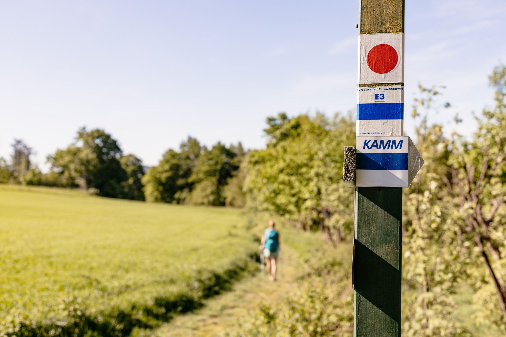
Der Kammweg Erzgebirge-Vogtland aus Sicht einer Bloggerin
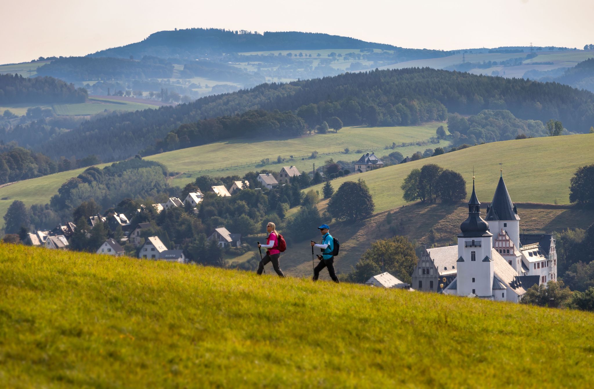
Pilgerwege durch das Erzgebirge
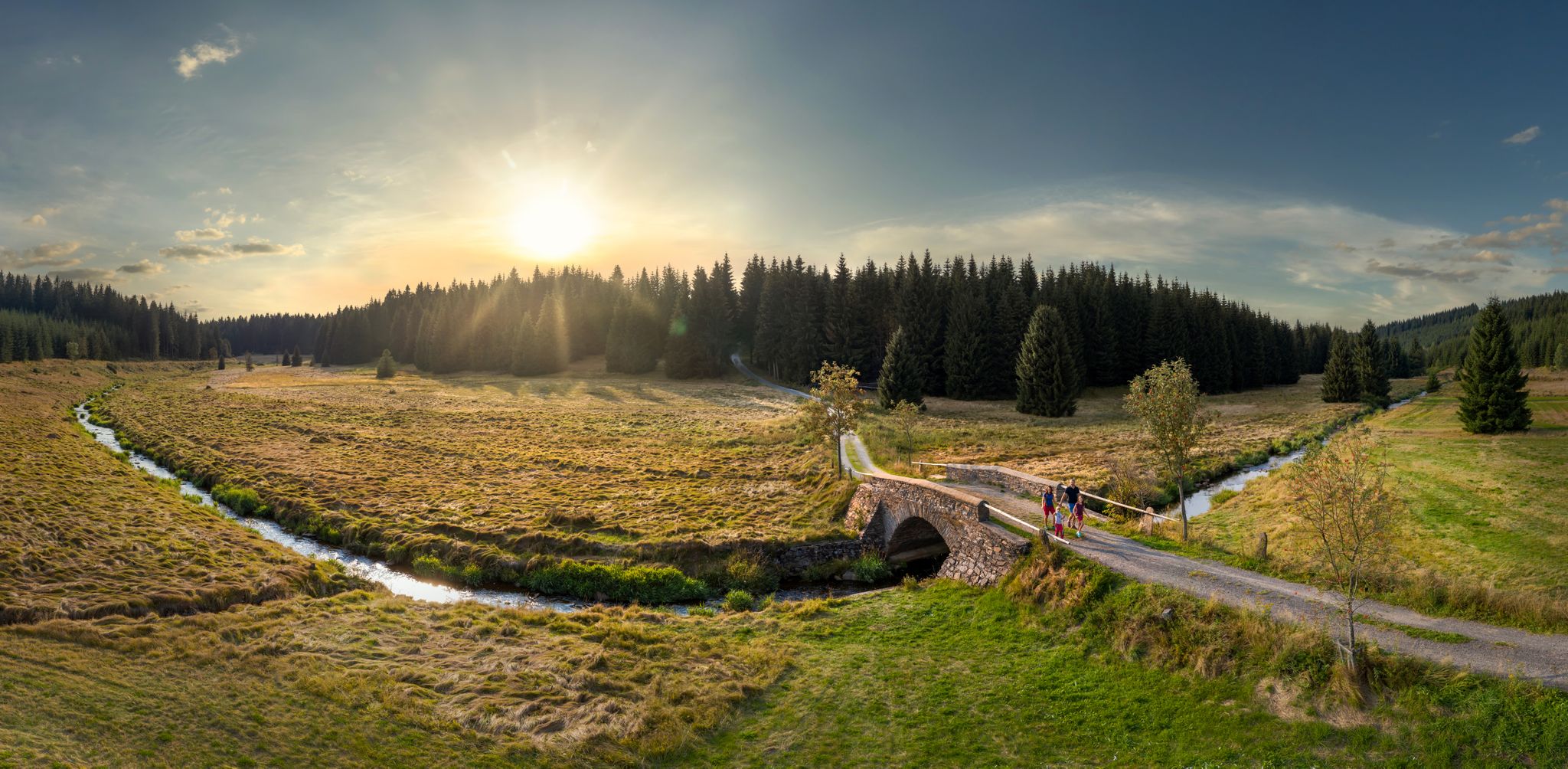
Wandertouren - Flusstäler & Talsperren

Wandertouren - Eisenbahn & Wanderstock
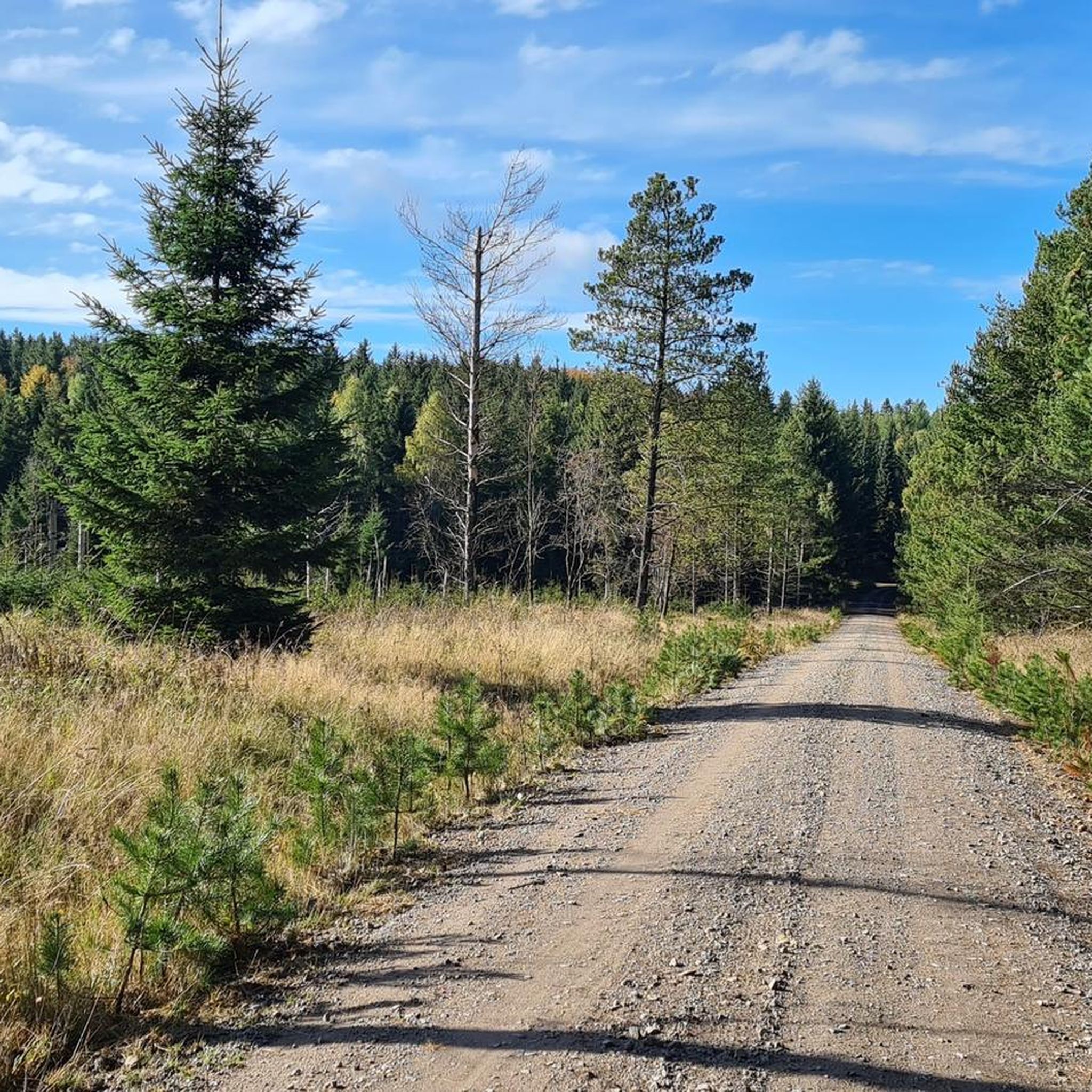
Hiking around Jöhstadt
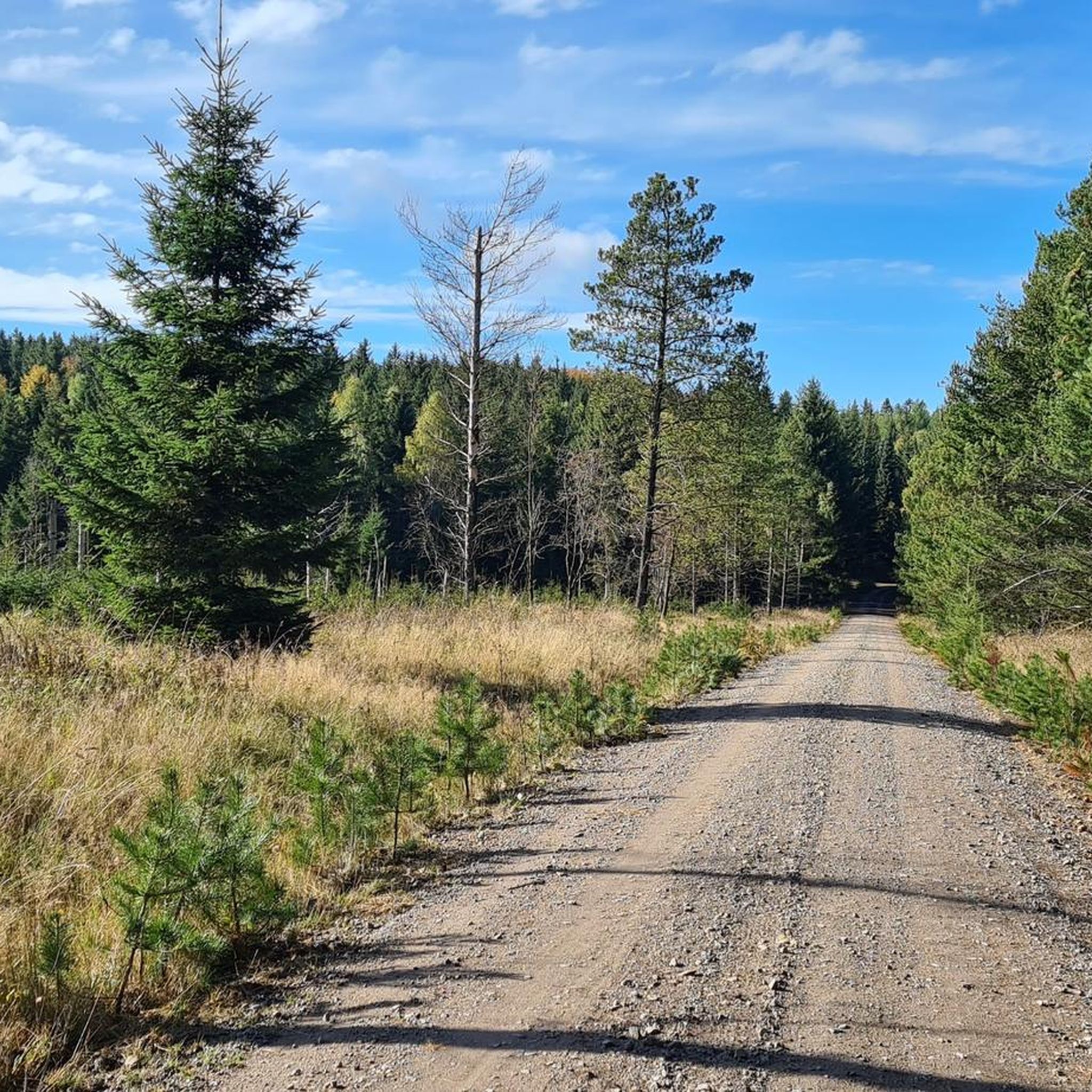
Cycling around Jöhstadt
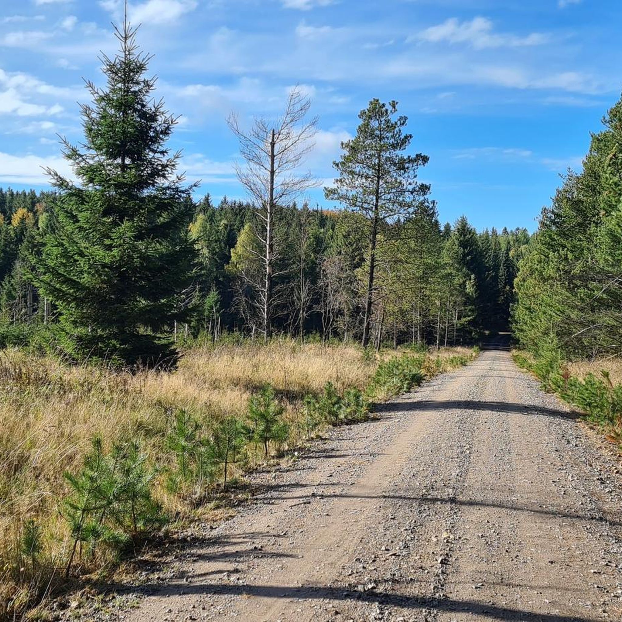
MTB Trails around Jöhstadt
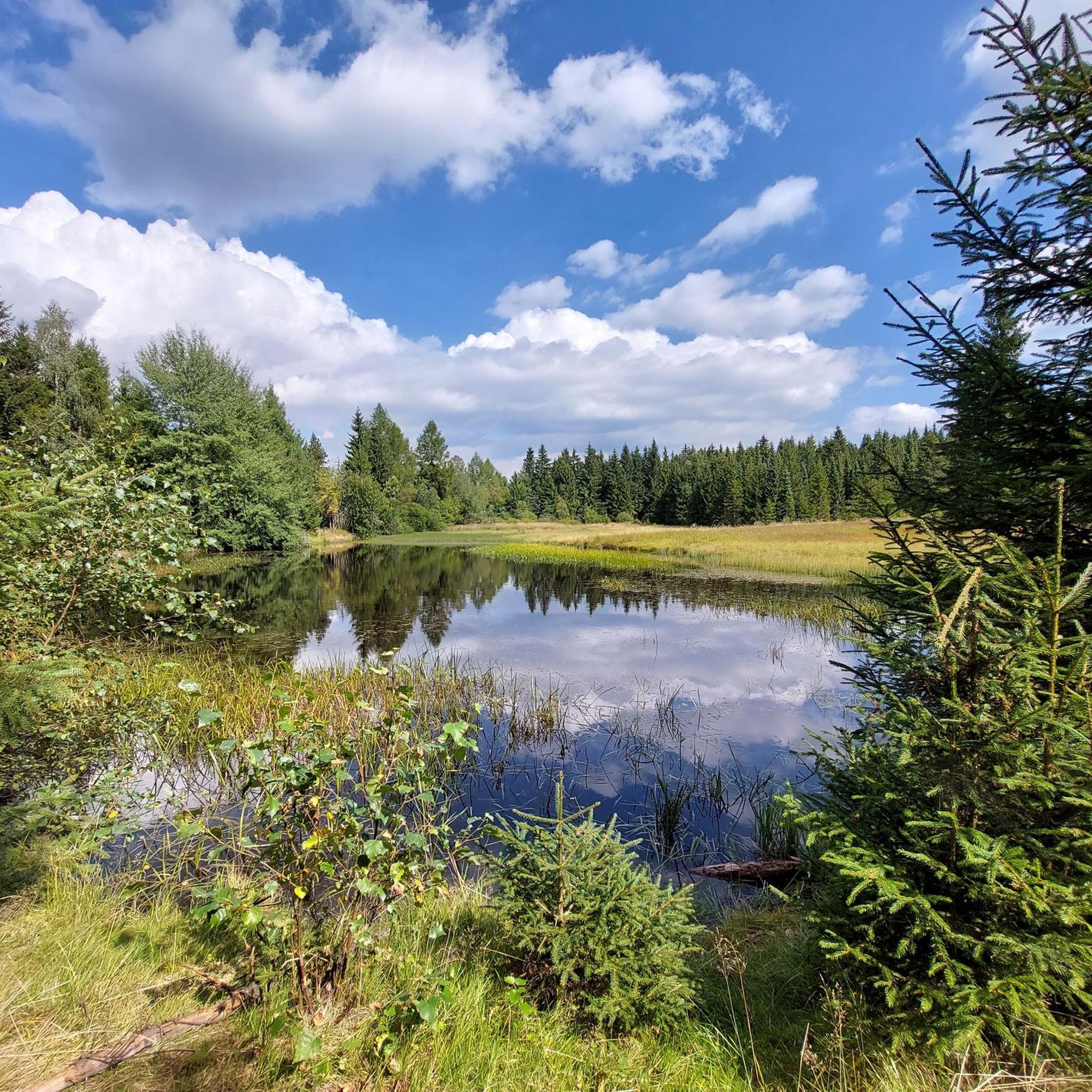
Road Cycling Routes around Jöhstadt
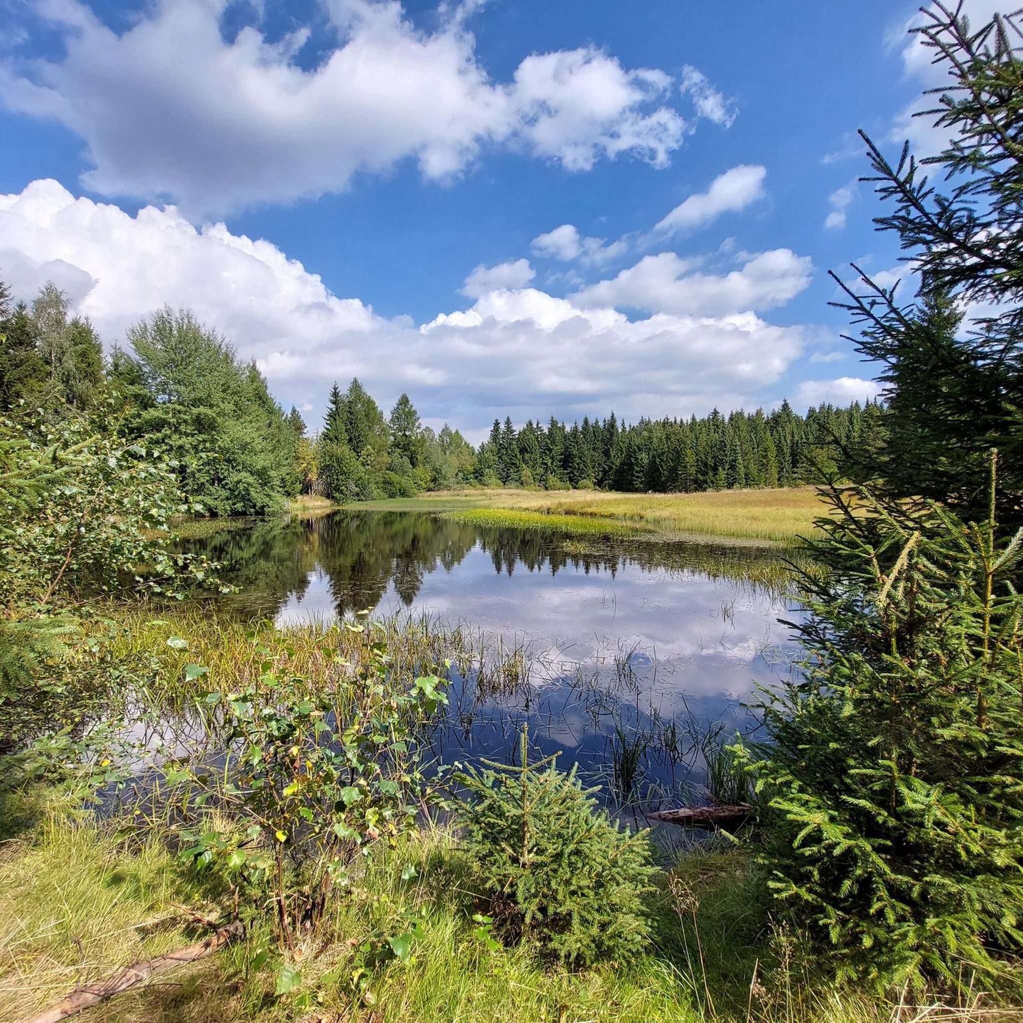
Running Trails around Jöhstadt
Other adventures around Jöhstadt

Tips from the Community

Massive granite with the typical "wollsackverwitterung" (sack weathering) for the Erzgebirge. Climbing is strongly characterized by grip, fine cracks, edges, and concavities.
10
0

Great trail on the former railway line
0
0

The valley is easy to cycle through and very romantic.
0
0

Parking, ideal as a starting point for activities in the Pressnitz Valley
0
1


stop immediately
0
0

what a beautiful landscape
0
0

Panoramic view over the Ore Mountains!
0
0
Frequently Asked Questions
How many gravel bike trails are available around Jöhstadt?
There are over 35 gravel bike trails available around Jöhstadt, offering a wide range of options for different skill levels. The komoot community has explored these routes extensively, with over 146 gravel bikers using komoot to discover the region's varied terrain.
What makes gravel biking in Jöhstadt unique?
Gravel biking in Jöhstadt is characterized by its routes through the scenic Ore Mountains, featuring forested valleys, rolling hills, and significant elevation changes. Trails often follow historical paths and forest roads, connecting small villages and natural landmarks, all shaped by the region's mining history and dense woodlands.
Are there easy gravel bike trails in Jöhstadt for beginners?
While many routes in Jöhstadt feature significant elevation, there are 10 moderate gravel bike trails suitable for those looking for a less strenuous ride. These routes still offer the beautiful scenery of the Ore Mountains without the most challenging climbs.
Are there challenging gravel routes for experienced riders?
Yes, Jöhstadt is well-suited for experienced gravel bikers, with 27 difficult routes available. Trails like the Final Climb to Klínovec Summit – Fichtelberghaus Bell Tower loop from Annaberg-Buchholz offer substantial elevation gain and demanding terrain, providing a rewarding challenge.
Can I find circular gravel bike routes in Jöhstadt?
Absolutely. Many of the gravel bike trails around Jöhstadt are designed as loops, allowing you to start and end at the same point. Examples include the popular Hahn Bridge – Schmalzgrube station loop from Königswalde and the Am Wildbach Rest Stop – Schmalzgrube station loop from Großrückerswalde.
Are there any waterfalls along the gravel bike trails near Jöhstadt?
Yes, the region around Jöhstadt features several beautiful waterfalls that can be found near or along gravel routes. You might encounter highlights such as the Waterfall Near Zschopau or the Assigbach Waterfall, offering picturesque spots to pause during your ride.
What kind of scenery can I expect on gravel bike trails in Jöhstadt?
You can expect diverse scenery, including dense woodlands, rolling hills, and river landscapes characteristic of the Ore Mountains. Many routes offer views shaped by the region's historical mining activities and natural beauty. For example, the View of the Pöhlberg – Přísečnice Reservoir loop from Annaberg-Buchholz unterer Bf takes you through mountainous landscapes and past a reservoir.
What do other gravel bikers say about the trails in Jöhstadt?
The gravel trails in Jöhstadt are highly rated by the komoot community, with an average score of 4.9 stars from over 22 reviews. Riders frequently praise the varied terrain, the challenging climbs, and the beautiful, often secluded, forested paths that make for an excellent off-road cycling experience.
Is public transport available to access gravel trails in Jöhstadt?
Jöhstadt and its surrounding towns, like Annaberg-Buchholz, have regional bus connections. Some routes, such as the View of the Pöhlberg – Přísečnice Reservoir loop, start near train stations (e.g., Annaberg-Buchholz unterer Bf), making them accessible by public transport. It's advisable to check local transport schedules for specific starting points.
Where can I park my car when gravel biking in Jöhstadt?
Many of the gravel routes around Jöhstadt start from towns or villages like Königswalde, Großrückerswalde, or Annaberg-Buchholz, where public parking options are generally available. Look for designated parking areas near the starting points of the tours, often close to local amenities.
Are there cafes or places to stop for refreshments along the gravel trails?
While many routes traverse natural, forested areas, you'll often find opportunities for refreshments in the villages and towns that the trails connect or pass through. It's a good idea to plan your route to include stops in places like Jöhstadt, Königswalde, or Annaberg-Buchholz, or carry sufficient supplies for longer stretches.
What is the best time of year for gravel biking in Jöhstadt?
The best time for gravel biking in Jöhstadt is typically from spring through autumn (April to October). During these months, the weather is generally milder, and the trails are free of snow and ice, offering ideal conditions to enjoy the forested landscapes and varied terrain of the Ore Mountains.
Most popular attractions around Jöhstadt

Get inspired with the komoot mobile app


Explore more
Browse the best Gravel rides in other regions.
