The best gravel rides around Niederwürschnitz
4.5
(47)
228
riders
64
rides
Gravel biking around Niederwürschnitz offers a diverse landscape characterized by scenic forests, rolling hills, and river valleys. The region is shaped by the Erzgebirge mountains, providing undulating terrain with both gentle paths and challenging ascents. Trails often integrate elements of the area's industrial heritage, such as former railway lines, alongside natural features like the Würschnitz river. This varied topography creates a dynamic environment for gravel riders seeking mixed surfaces and historical exploration.
Best gravel bike trails around Niederwürschnitz
- The most…
Last updated: August 27, 2026
3.6
(7)
31
riders
25.3km
01:28
260m
260m
Moderate gravel ride. Good fitness required. Mostly paved surfaces. Suitable for all skill levels.
4.3
(3)
26
riders
Hard gravel ride. Very good fitness required. Mostly paved surfaces. Suitable for all skill levels.

Sign up for free
5.0
(1)
11
riders
27.2km
01:44
390m
390m
Moderate gravel ride. Good fitness required. Mostly paved surfaces. Suitable for all skill levels.
4.7
(3)
14
riders
Moderate gravel ride. Good fitness required. Mostly paved surfaces. Suitable for all skill levels.
5.0
(4)
12
riders
58.9km
03:32
650m
650m
Hard gravel ride. Very good fitness required. You may need to push your bike for some segments of this route.
Get access to more routes and recommendations from other explorers.
Sign up for free
Already have an account?
Our route recommendations are based on thousands of hikes, rides, and runs completed by other people on komoot.
Start today with a free account
Your next adventure awaits.
Login or Signup
Tips from the Community

Mega cycle highway, simply top. :D
0
0

it is really beautiful and highly recommended
0
0
it is really beautiful and highly recommended
0
0

A railway operated by "young pioneers". A good idea by the Reichsbahn to cultivate its own successors.
0
0

A really successful project, hopefully it will be fully completed soon.
0
0

A proud and beautiful castle, great, only it could use a new coat of paint on the outside!
0
0

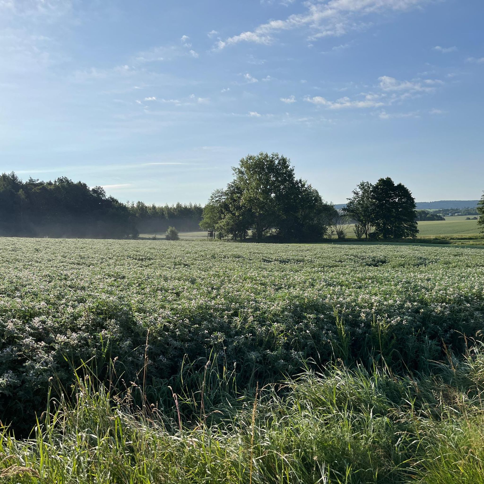
Very nice tour and lots of great views.
0
0
The Iron Trail is a high-altitude trail in the Ore Mountains, whose historical route follows the northern edge of the Ore Mountains. According to local history, it was used as early as the Middle Ages for transporting iron ore from the Schneeberg area. The route, still marked today, runs from Katzenstein near Affalter and through the Streitwald forest to Tabakstanne, continuing through the Bürgerwald forest, past the Schwarzes Kreuz memorial, to Harthauer Berg, located south of Chemnitz on Federal Highway 95. Today, the Iron Trail is a popular route for hikers and cyclists, connecting the area south of Chemnitz with the hiking trails of the central Ore Mountains. Source: Wikipedia https://de.wikipedia.org/wiki/Eisenweg_(Erzgebirge)
0
0
Frequently Asked Questions
How many gravel bike trails are available around Niederwürschnitz?
There are over 100 gravel bike routes in the Niederwürschnitz region, offering a wide variety of options for different skill levels and preferences. This includes 10 easy routes, 53 moderate routes, and 39 difficult routes.
Are there easy or beginner-friendly gravel bike routes in Niederwürschnitz?
Yes, Niederwürschnitz offers 10 easy gravel bike routes suitable for beginners or those looking for a more relaxed ride. These trails often follow flatter terrain and well-maintained paths, making them ideal for a gentle introduction to gravel biking in the region.
What kind of terrain can I expect on gravel bike trails near Niederwürschnitz?
The terrain around Niederwürschnitz is diverse, featuring river valleys, reservoirs, and historical sites. You'll encounter a mix of paths, including sections along the Würschnitztal Cycle Path, and routes connecting to water castles. While some trails are relatively flat, others include significant climbs, providing varied challenges.
Are there any long-distance gravel bike routes in the Niederwürschnitz area?
For those seeking longer rides, the region offers several options. One notable difficult route is the Würschnitztal Cycle Path – Zwickauer Mulde River Trail loop from Niederwürschnitz, which spans approximately 69 kilometers (43 miles) and explores both the Würschnitztal and Zwickauer Mulde River areas.
What are some scenic viewpoints or natural attractions along the gravel trails?
Many routes offer scenic views and pass by natural attractions. You can find highlights like the Maria Josepha Tower (Totenstein) Observation Tower for panoramic vistas, or ride past the tranquil Stollberg Reservoir (Querenbach Reservoir). The Forzbachl spring is another natural monument worth exploring.
Are there any historical sites or landmarks to see while gravel biking?
Absolutely. The region is known for its historical water castles. The Ursprung Station – Klaffenbach Water Castle loop from Oelsnitz Bahnhofstraße is a popular route that connects a station with the historic Klaffenbach Water Castle. Another route, the Old Brickyard Recreation Area – Klaffenbach Water Castle loop from Stollberg Schlachthofstraße, also passes by this notable landmark.
What do other gravel bikers say about the trails in Niederwürschnitz?
The routes in Niederwürschnitz are highly regarded by the komoot community, with an average rating of 4.6 stars from over 60 reviews. Riders often praise the diverse landscape, the well-connected network of paths, and the mix of natural and historical points of interest.
Are there any routes that incorporate reservoirs or water features?
Yes, several routes feature reservoirs. The Stollberg Reservoir – Würschnitztal Cycle Path loop from Niederwürschnitz is a great option that explores the area around Stollberg Reservoir and follows sections of the Würschnitztal Cycle Path. You can also find the Querenbach Dam as a highlight in the region.
Can I access gravel bike trails in Niederwürschnitz using public transport?
Many routes are designed with accessibility in mind. For example, the Ursprung Station – Klaffenbach Water Castle loop from Oelsnitz Bahnhofstraße conveniently starts from a train station, making it easy to reach by public transport.
What is the best time of year for gravel biking in Niederwürschnitz?
The best time for gravel biking in Niederwürschnitz is generally from spring through early autumn (April to October). During these months, the weather is typically mild, and the trails are in good condition, allowing for enjoyable rides through the diverse landscape.
Are there any challenging gravel routes for experienced riders?
Experienced riders will find plenty of challenging options, with 39 difficult routes available. The Klaffenbach Water Castle – Stollberg Reservoir loop from Stollberg Schlachthofstraße is one such route, covering over 45 kilometers (28 miles) with significant elevation changes, offering a demanding ride.
Are the gravel bike routes in Niederwürschnitz typically loop trails?
Yes, many of the gravel bike routes around Niederwürschnitz are designed as convenient loop trails. This allows riders to start and end at the same point, making planning easier. Examples include the Ursprung Station – Klaffenbach Water Castle loop and the Stollberg Reservoir – Würschnitztal Cycle Path loop.
Most popular routes around Niederwürschnitz
Most popular attractions around Niederwürschnitz

Get inspired with the komoot mobile app


Explore more
Browse the best Gravel rides in other regions.
