The best gravel rides around Bannberscheid
4.5
(88)
395
riders
104
rides
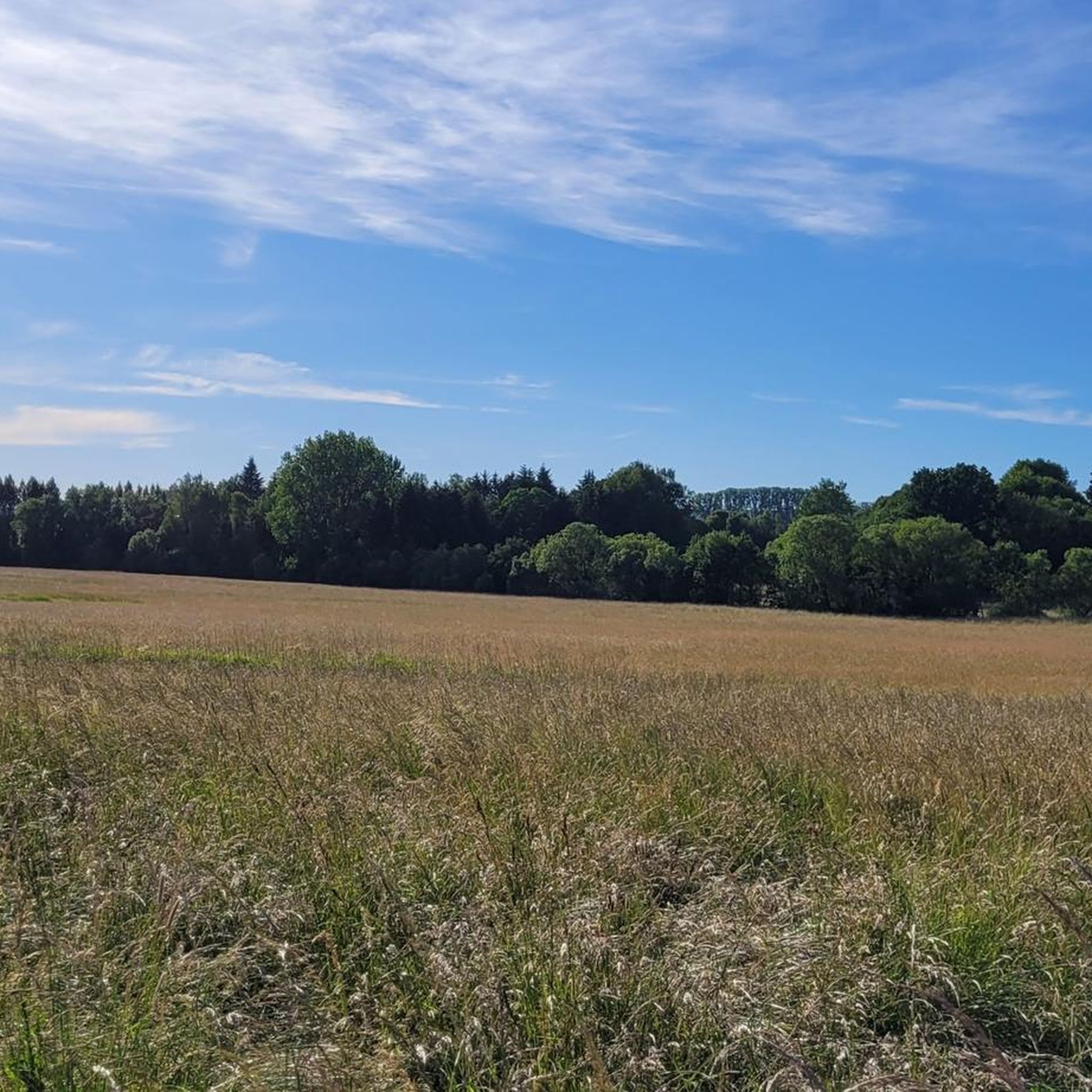
Gravel biking around Bannberscheid offers a diverse landscape characterized by rolling hills, forested areas, and river valleys. The region features varied terrain suitable for gravel cycling, with routes often including climbs to elevated viewpoints and paths through natural conservation areas. Elevations on trails can reach over 600 meters, providing both challenging ascents and scenic descents. This area in the Westerwald provides a mix of ascents and descents across its extensive trail network.
Best gravel bike trails around Bannberscheid
- The most…
Last updated: October 19, 2026
4.0
(6)
24
riders
29.8km
02:07
380m
370m
Moderate gravel ride. Good fitness required. Mostly paved surfaces. Suitable for all skill levels.
5.0
(1)
9
riders
44.8km
03:13
670m
670m
Hard gravel ride. Very good fitness required. Mostly paved surfaces. Suitable for all skill levels.

5.0
(2)
16
riders
34.4km
02:43
610m
610m
Hard gravel ride. Very good fitness required. Mostly paved surfaces. Suitable for all skill levels.
4.0
(4)
11
riders
24.5km
01:37
250m
250m
Moderate gravel ride. Good fitness required. Mostly paved surfaces. Suitable for all skill levels.
5.0
(1)
9
riders
36.7km
02:08
390m
390m
Moderate gravel ride. Good fitness required. Mostly paved surfaces. Suitable for all skill levels.
Get access to more routes and recommendations from other explorers.
Already have an account?
Our route recommendations are based on thousands of hikes, rides, and runs completed by other people on komoot.
Start today with a free account
Your next adventure awaits.
Tips from the Community

Here the water flows over moss-covered stones in several stages, forming a series of beautiful, natural cascades depending on the water level.
4
0
The Gelbachtal Trail near Witzenborn is a varied and natural section of the route, which particularly impresses with its combination of quiet forest paths, moderate climbs, and impressive views.
3
0


Landshuber Weiher with water lilies
0
0

Wirzenborn pilgrimage church with separate restrooms! A guesthouse with a motorcycle museum invites you to linger!
0
0

Although you can only see the mill from the outside, an information board also shows some photos of the inside. A small stream flows through the building, and much of the mill's interior is still preserved.
0
0

The path runs along the Gelbach stream in a natural setting and provides shade in the summer. It's interesting for hikers, cyclists, and mountain bikers.
2
0

So beautifully situated and great paths
1
0
Frequently Asked Questions
How many gravel bike trails are available around Bannberscheid?
Bannberscheid offers a wide selection of gravel biking routes, with over 140 trails available. These routes cater to various skill levels, ranging from easy to difficult.
Are there any easy gravel bike routes suitable for beginners in Bannberscheid?
While many routes are moderate to difficult, there are a few easier options available. The region has 5 routes specifically categorized as easy, providing a good starting point for beginners to explore the area's gravel paths.
What kind of terrain can I expect on gravel bike trails in Bannberscheid?
The terrain around Bannberscheid is characterized by rolling hills, dense forested areas, and scenic river valleys. You'll encounter varied surfaces, including climbs to elevated viewpoints and paths winding through natural conservation areas. Elevations can reach over 600 meters, offering both challenging ascents and rewarding descents.
Are there any long-distance gravel routes in the Bannberscheid area?
Yes, for those seeking longer rides, routes like the Wild Horses at Schmidtenhöhe – View of Deutsches Eck loop from Montabaur cover significant distances, stretching over 57 kilometers. Another substantial option is the Landshuber Pond Trail – Flürchen Conservation Area loop from Montabaur, which is nearly 45 kilometers long.
Can I find circular gravel bike routes around Bannberscheid?
Many of the gravel bike routes in Bannberscheid are designed as loops, allowing you to start and end at the same point. Examples include the Köppel Tower and Köppel Hut – Köppel Observation Tower loop from Montabaur and the View of Malberg – View of Malberg loop from Goldhausen.
What are some scenic viewpoints or landmarks I can visit on a gravel bike ride?
Several routes offer access to stunning views and interesting landmarks. You can ride to the Köppel Observation Tower for panoramic vistas, or explore paths that lead past the Three Oaks Cross. Some trails also pass by historic sites like Montabaur Castle.
Are there any routes that pass by water features like ponds or waterfalls?
Yes, the Landshuber Pond Trail – Flürchen Conservation Area loop from Montabaur winds past the picturesque Landshuber Pond. Additionally, the Gelbachtal Trail – Gelbach Falls loop from Wirges offers the chance to see the Gelbach Falls.
What do other gravel bikers say about the trails in Bannberscheid?
The gravel biking routes in Bannberscheid are highly regarded by the komoot community, holding an average rating of 4.5 stars from over 100 reviews. Riders frequently praise the diverse landscape, the challenging climbs, and the rewarding views, particularly those of the Deutsches Eck.
Are there any specific routes recommended for advanced gravel bikers?
For experienced riders seeking a challenge, many of the routes are categorized as difficult. The Wild Horses at Schmidtenhöhe – View of Deutsches Eck loop from Montabaur, with its significant elevation gain and distance, is a popular choice for advanced gravel bikers.
What is the best time of year to go gravel biking in Bannberscheid?
The region's rolling hills and forested areas are enjoyable throughout much of the year. Spring and autumn generally offer pleasant temperatures and vibrant scenery, making them ideal for gravel biking. Summer can also be great, especially in the cooler parts of the day or on shaded routes.
Are there any historical sites or castles accessible by gravel bike in the area?
Absolutely. You can incorporate visits to historical sites into your rides. Notable castles in the vicinity include Molsberg Castle and Montabaur Castle. Some routes also pass by the Medieval castle site on Geiersberg.
Most popular routes around Bannberscheid
Most popular attractions around Bannberscheid

Get inspired with the komoot mobile app


Explore more
Browse the best Gravel rides in other regions.
