The best gravel rides around Flieden
4.7
(15)
116
riders
56
rides
Gravel biking around Flieden offers a diverse landscape characterized by rolling hills, dense woodlands, and river valleys. The region features a network of paths, including former railway lines and historic trails, suitable for gravel bikes. Elevations vary, with routes often including significant climbs and descents across the Rhön foothills. This area provides varied terrain for gravel biking, from well-maintained cycle paths to more rugged natural trails.
Best gravel bike trails around Flieden
- The most popular gravel bike trail is Boniface…
Last updated: October 20, 2026
5.0
(1)
10
riders
49.7km
03:16
840m
840m
Hard gravel ride. Very good fitness required. Mostly paved surfaces. Suitable for all skill levels.
13
riders
68.7km
04:21
1,170m
1,170m
Hard gravel ride. Very good fitness required. Mostly paved surfaces. Suitable for all skill levels.

5.0
(3)
11
riders
Moderate gravel ride. Good fitness required. Mostly paved surfaces. Suitable for all skill levels.
4.5
(2)
9
riders
65.1km
04:16
1,070m
1,060m
Hard gravel ride. Very good fitness required. You may need to push your bike for some segments of this route.
10
riders
Hard gravel ride. Very good fitness required. Mostly paved surfaces. Suitable for all skill levels.
Get access to more routes and recommendations from other explorers.
Already have an account?
Our route recommendations are based on thousands of hikes, rides, and runs completed by other people on komoot.
Start today with a free account
Your next adventure awaits.
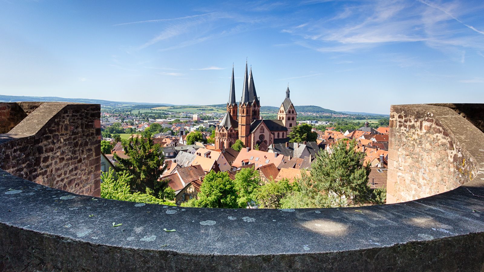
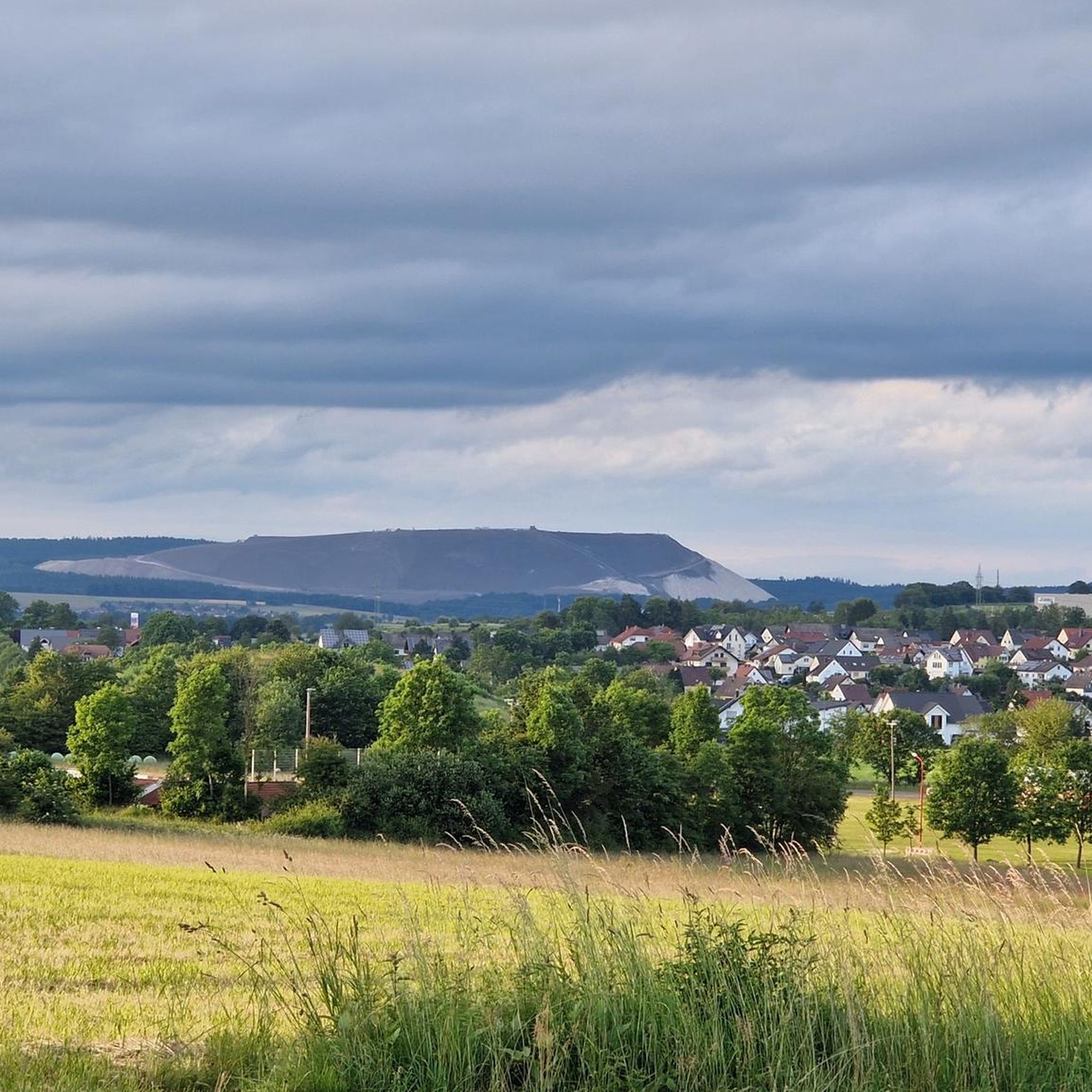
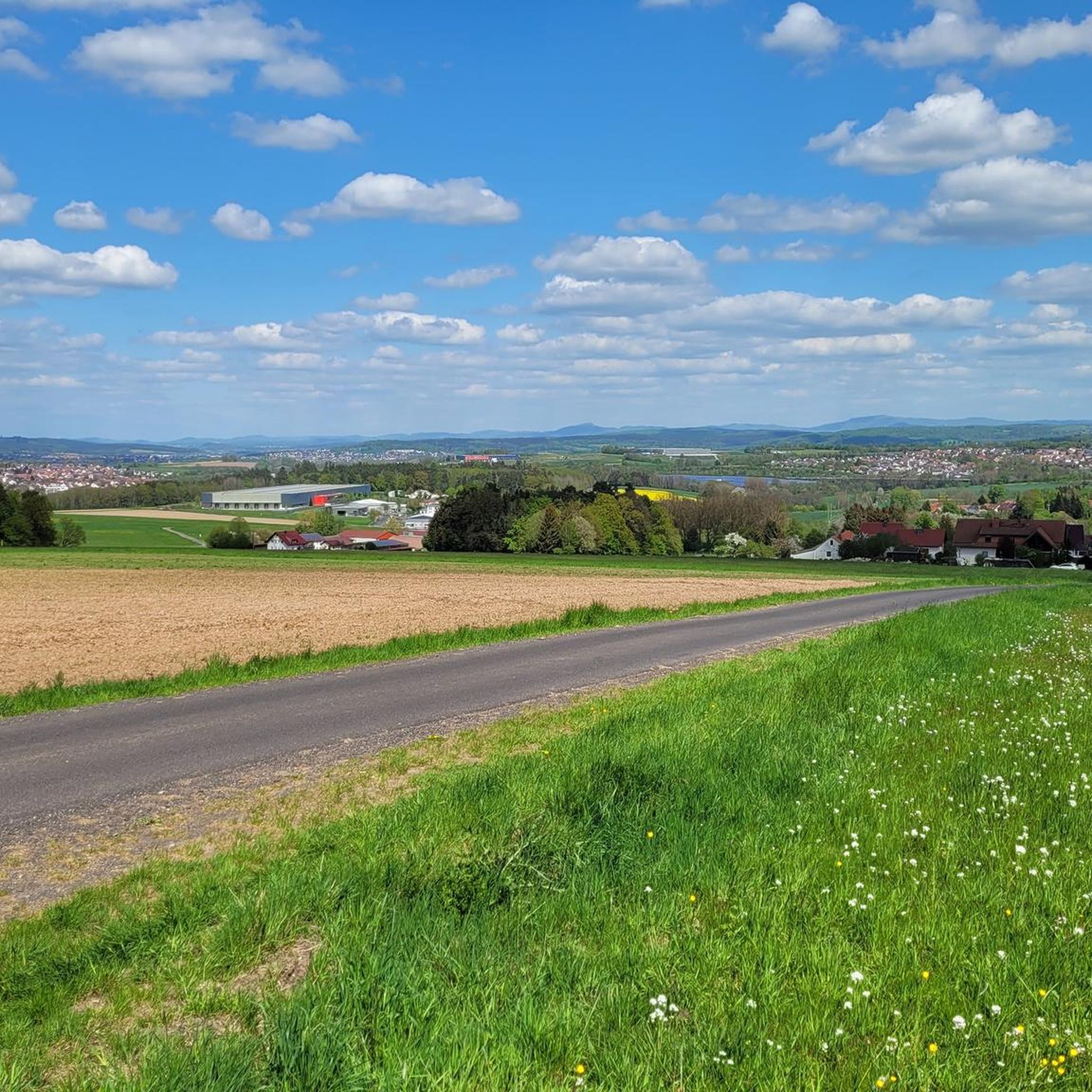
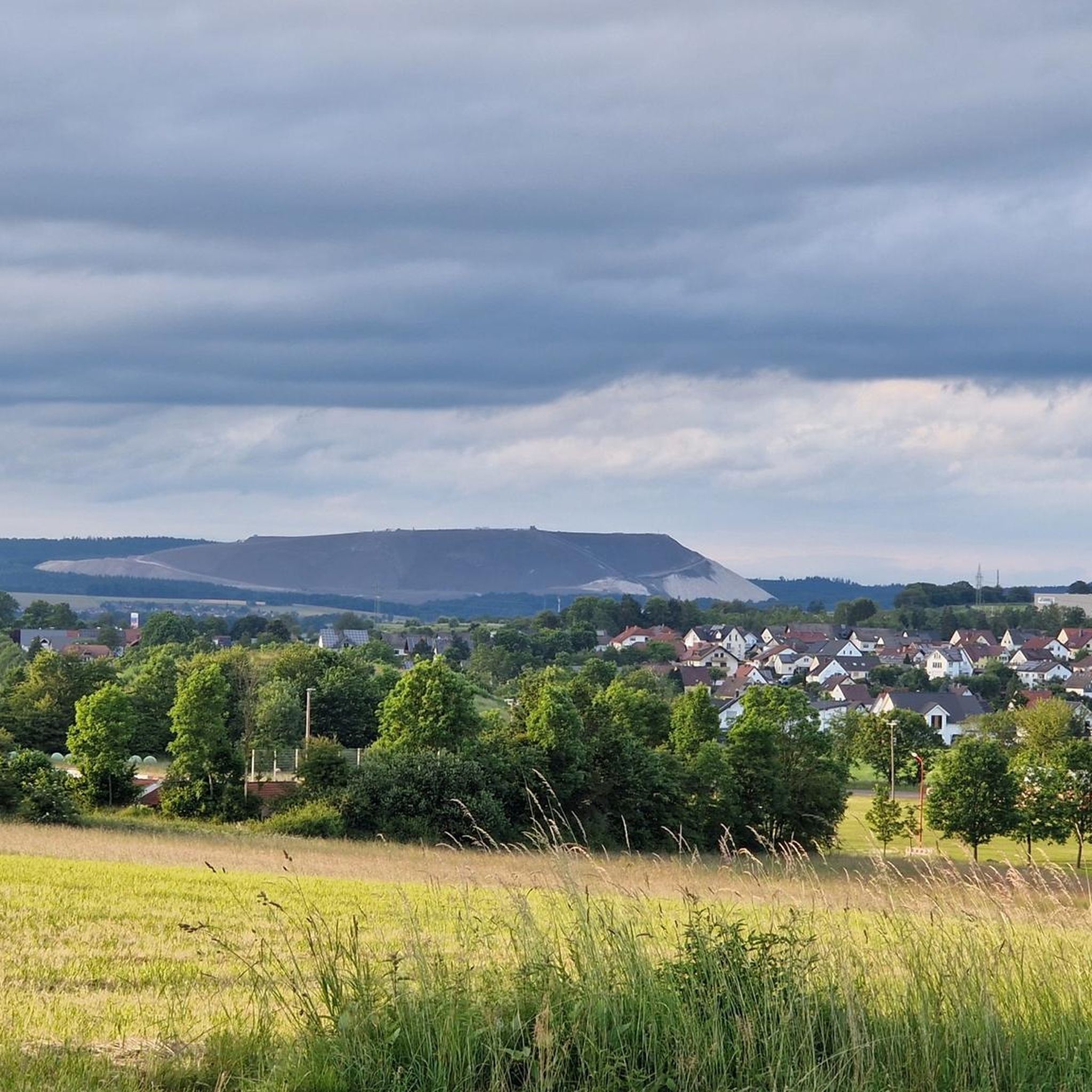
Other adventures around Flieden

Tips from the Community

The former moated castle „Castrum Nuwenhof“ in Neuhof was an impressive medieval moated castle 🏰💧, built in the 13th century by the noble family von Nuenhov. It was strategically located in the valley of the Fliede river and later served the prince-abbots of Fulda as a secondary residence and administrative center. Fun Fact: The name „Castrum Nuwenhof“ means something like „New Court“ – an indication that the castle was an important stronghold in the region.
0
0
The former moated castle "Castrum Nuwenhof" in Neuhof was an impressive medieval water castle 🏰💧, built in the 13th century by the noble family von Nuenhov. It was strategically located in the Fliede valley and later served as a secondary residence and administrative center for the prince-abbots of Fulda. Fun Fact: The name "Castrum Nuwenhof" means something like "New Court" – an indication that the castle was an important stronghold in the region.
0
0

From Kreuzberg to Bad Brückenau, you practically don't have to pedal for 26.9 km by bike. But even then, it's always downhill to Jossa on the way and further to Gemünden. The Rhönexpress Way leads through wonderful meadows and protected landscape. Worth seeing.
0
0

Wonderful cycle path with a perfect surface
0
0

When it's dry, it's no problem to cycle the path.
1
0

The cherry tree is a well-known and prominent landmark in the Gieseler Forest. From here begins a challenging root trail, which is only recommended to ride in dry weather conditions. Otherwise, the trail becomes difficult to navigate due to mud.
1
0
You simply have to stop at the tree where the Einstein Stone lies. 🌳🪨 #Tree #EinsteinStone
0
0
There is a good cycle path here. I personally prefer the southern cycle path along the reservoir.
3
0
Frequently Asked Questions
What is the general difficulty level of gravel biking trails in Flieden?
The gravel biking trails around Flieden offer a varied experience. While there are a few moderate routes, the majority, about 58 out of 85, are classified as difficult. These challenging routes often feature significant climbs and descents across the Rhön foothills.
Are there any beginner-friendly gravel bike trails in Flieden?
Yes, Flieden does offer some options suitable for beginners. There are 3 routes specifically categorized as easy, providing a gentler introduction to gravel biking in the region. These trails typically follow well-maintained paths and former railway lines.
Are there options for long-distance gravel bike rides around Flieden?
Flieden is well-suited for longer gravel rides. For example, the Boniface Oak – Rhönexpress Cycle Path loop from Seifferts bei Oberkalbach is a challenging 42.9 miles (69.1 km) route. Another substantial option is the Three Rivers Viewpoint – Jossa Railway Viaduct loop from Schlüchtern, covering 65 km.
Where do most gravel bike trails in Flieden start?
Many popular gravel bike trails in Flieden originate from nearby towns such as Schlüchtern and Seifferts bei Oberkalbach. These locations serve as convenient starting points for exploring the diverse network of paths in the region.
What kind of terrain can I expect on gravel bike trails in Flieden?
You can expect a diverse landscape characterized by rolling hills, dense woodlands, and scenic river valleys. The trails utilize a network of paths, including former railway lines and historic trails, offering varied terrain from well-maintained cycle paths to more rugged natural sections.
What can I see along the gravel bike trails in Flieden?
The region around Flieden offers several interesting natural and historical sights. You might encounter natural monuments like the Frauenstein (Baptismal Stone) or the Wilder Tisch Rock Formation. Some routes also pass through picturesque gorges such as the Hundsgraben near Elm or the Lützgrund Valley.
What do other gravel bikers enjoy the most about gravel biking in Flieden?
The gravel biking routes in Flieden are highly rated by the komoot community, with an average score of 4.98 stars from over 33 reviews. Reviewers often praise the diverse terrain, the scenic beauty of the woodlands and river valleys, and the well-maintained paths that make for an enjoyable riding experience.
Are there any loop gravel bike routes in Flieden?
Yes, many of the gravel bike trails in Flieden are designed as loops, allowing you to start and end in the same location. Examples include the Willings Pond – Westergrund Nature Reserve loop from Schlüchtern and the Eselsweg – First Trail Section – Sterbfritz Signpost (L3180) loop from Schlüchtern.
What is the best time of year for gravel biking in Flieden?
Spring and autumn generally offer the most pleasant conditions for gravel biking in Flieden, with mild temperatures and vibrant scenery. Summer can also be excellent, though it's wise to start earlier in the day to avoid the midday heat. Winter riding is possible but requires appropriate gear for colder temperatures and potentially icy or muddy conditions.
Are there any cafes or places to stop for refreshments near the gravel bike trails in Flieden?
While specific cafes are not listed for each route, the trails often pass through or near small towns and villages like Schlüchtern and Neuhof (Kreis Fulda), where you can typically find local eateries or bakeries for refreshments. Planning your route with potential stops in mind is recommended.
How does gravel biking in Flieden compare to trails in Fulda?
Flieden, situated in the Rhön foothills, offers a landscape characterized by more pronounced rolling hills and dense woodlands, often utilizing former railway lines and historic paths. While Fulda also has excellent cycling, Flieden's gravel routes tend to provide a more rugged and varied terrain with significant elevation changes, appealing to those seeking a challenging and immersive natural experience.
Most popular attractions around Flieden

Get inspired with the komoot mobile app


Explore more
Browse the best Gravel rides in other regions.
