The best gravel rides around Dinkelscherben
4.6
(71)
260
riders
60
rides
Gravel biking around Dinkelscherben offers diverse terrain characterized by rolling hills, expansive meadows, and extensive wooded areas. The region is situated between the Mindel and Zusam rivers, providing a varied landscape for exploration within the Naturpark Augsburg – Westliche Wälder. Key features include the former Weldenbahn railway line, now a cycle path, and numerous lakes that integrate into the trail network. This blend of unpaved farm tracks, forest roads, and converted railway lines creates an ideal setting for mixed-surface cycling.
…Last updated: October 19, 2026
4
riders
Hard gravel ride. Very good fitness required. Mostly paved surfaces. Suitable for all skill levels.
5.0
(1)
11
riders
46.6km
02:37
440m
440m
Moderate gravel ride. Good fitness required. Mostly paved surfaces. Suitable for all skill levels.

5.0
(2)
6
riders
32.5km
01:51
220m
220m
Moderate gravel ride. Good fitness required. Mostly paved surfaces. Suitable for all skill levels.
5
riders
24.7km
01:37
220m
220m
Moderate gravel ride. Good fitness required. Mostly paved surfaces. Suitable for all skill levels.
4
riders
41.9km
02:39
400m
400m
Moderate gravel ride. Good fitness required. Mostly paved surfaces. Suitable for all skill levels.
Get access to more routes and recommendations from other explorers.
Already have an account?
Our route recommendations are based on thousands of hikes, rides, and runs completed by other people on komoot.
Start today with a free account
Your next adventure awaits.


Tips from the Community

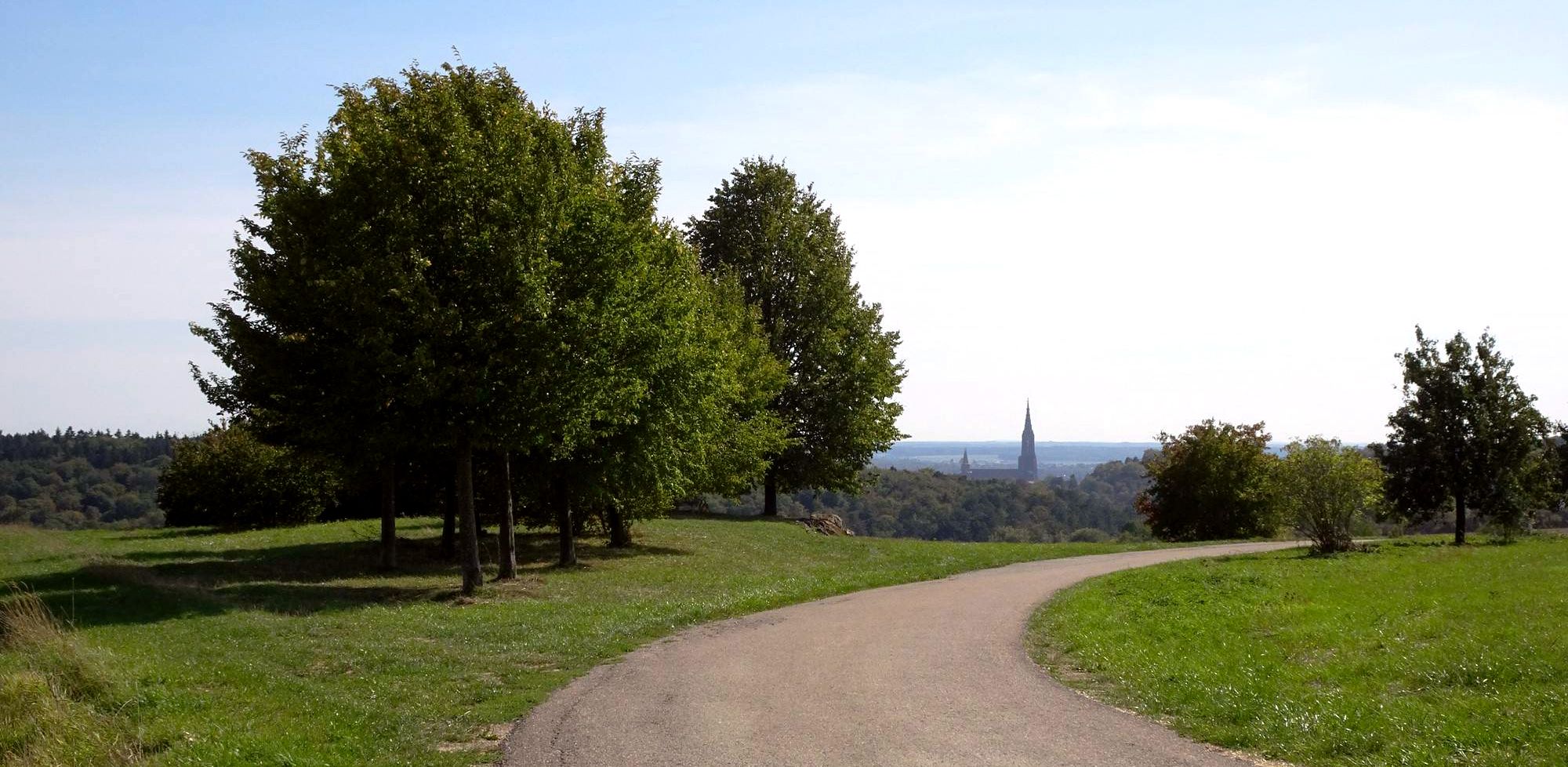
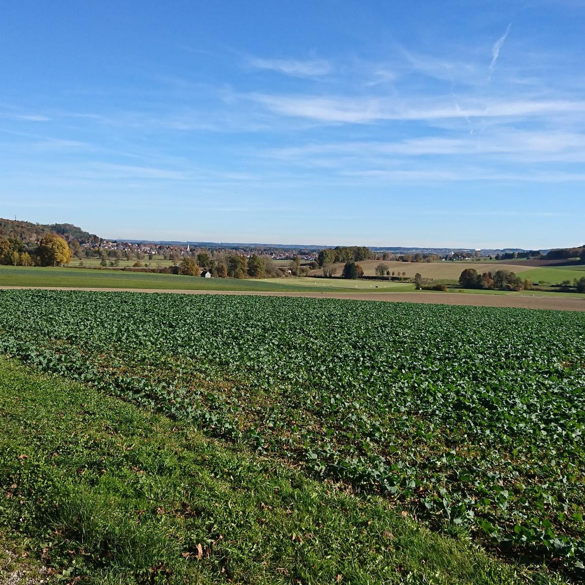
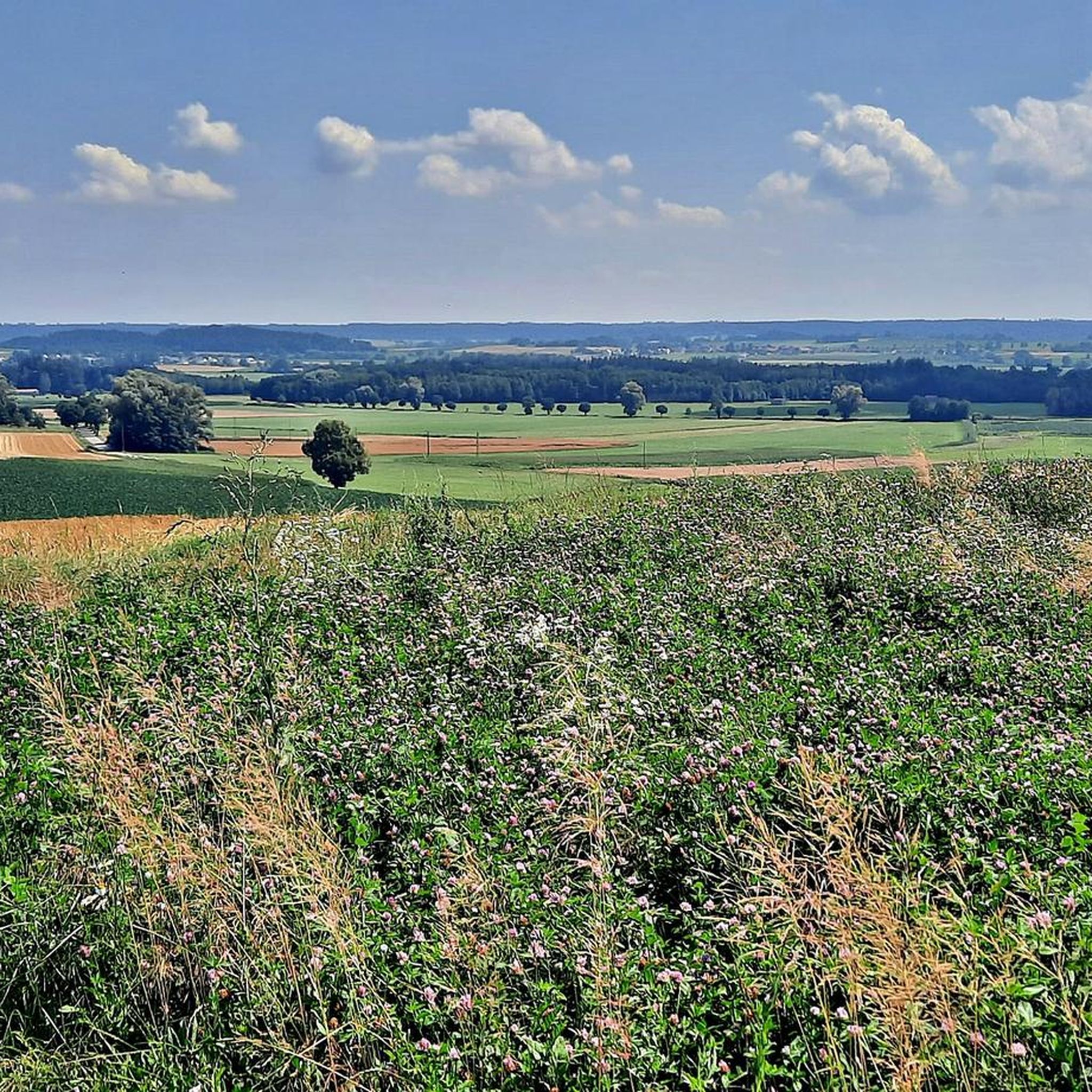
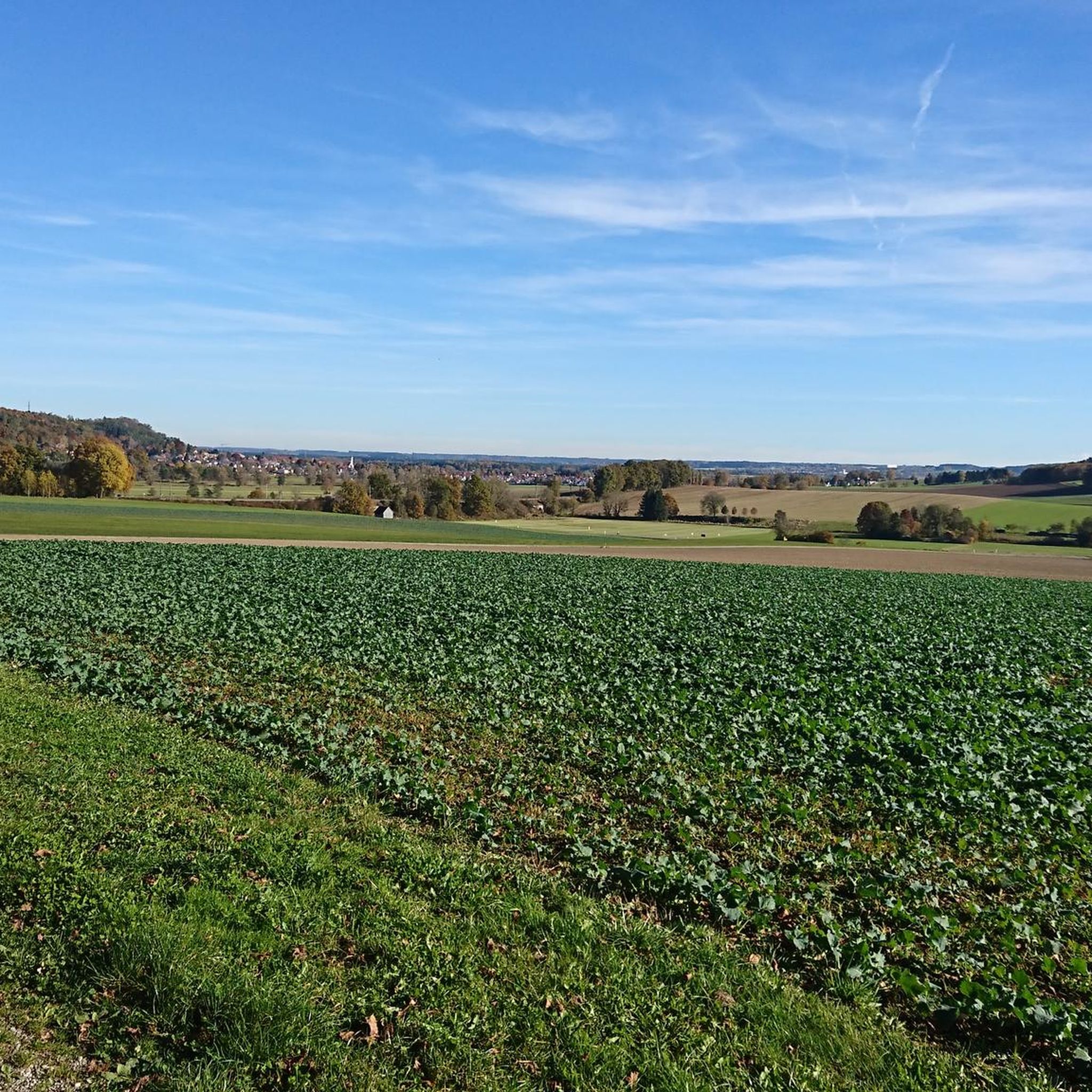
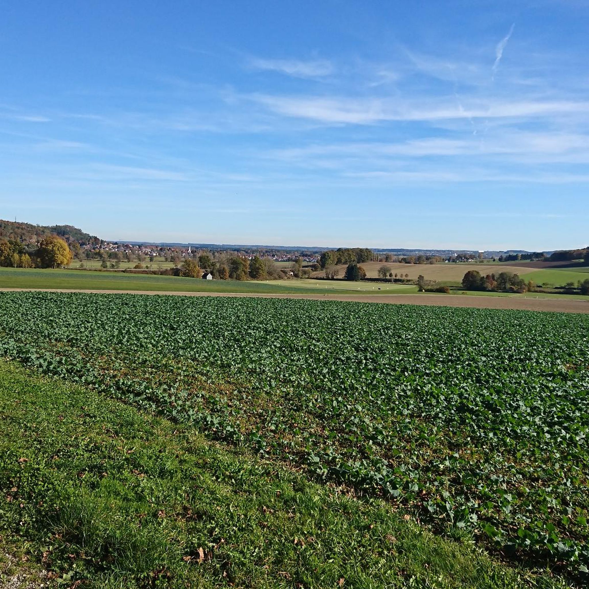
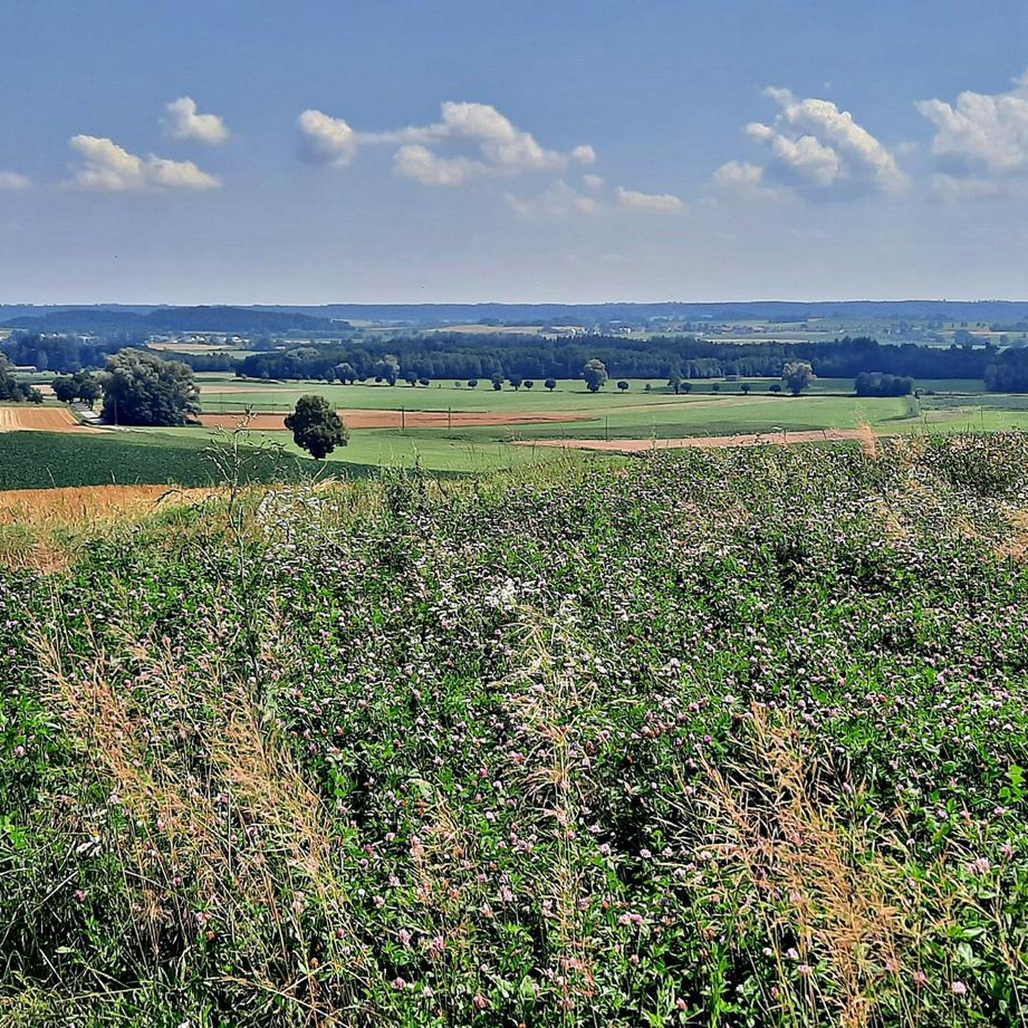
Wonderful views of the hilly perennial landscape invite you to take a break.
0
0

Mickhausen Castle is also known as the Stauden Castle! Events are regularly held here, such as the Schlosshofflickering!
0
0

The moated castle was built in the mid-15th century and owned by the Fugger family from 1528 to 1843. Today it is owned by the municipality of Mickhausen.
0
0
Idyllic pond with very good nature photo opportunities.
0
0

The best nut corners are here!
0
0

The Schmutter is one of the most important and distinctive rivers in the Western Forests Nature Park. It rises in the Stauden about three kilometers west of Siebnach and flows north through the hills and the Western Forests Nature Park towards the Danube. At 96 km long, it is a small tributary of the Danube. In Fischach, the Schmutter is at the confluence of the Neufnach and Erk "Neufnach and Erk bring the Schmutter to work". From Neusäß, it runs along the western edge of the Lech Valley. In its lower reaches, it flows into the Danube. The mouth of the Schmutter near Donauwörth forms the historic end point of the Via Claudia.
1
0

The deeper parts of the lake are mainly used for swimming. There are sunbathing areas with an average width of 30 m over a length of 800 m. The winter-proof design of the changing rooms and toilet facilities makes ice sports on the lake ideal during frost periods.
8
0

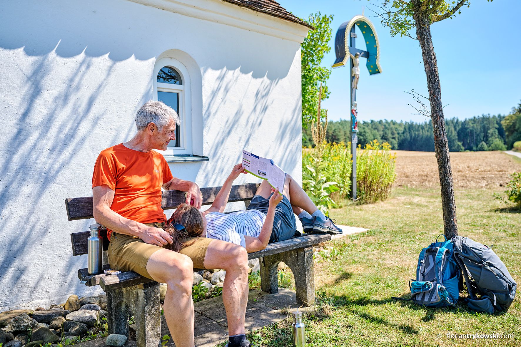
Wayside cross with bench and mountain view
0
0
Frequently Asked Questions
What kind of terrain can I expect on gravel bike trails around Dinkelscherben?
The region around Dinkelscherben offers a diverse landscape characterized by rolling hills, expansive green meadows, and extensive wooded areas. You'll encounter a mix of unpaved farm tracks, forest roads, and sections of converted railway lines like the Weldenbahn Cycle Path, providing varied surfaces ideal for gravel biking.
Are there any easy gravel bike routes suitable for beginners in Dinkelscherben?
Yes, Dinkelscherben offers several routes suitable for beginners. While many routes are moderate, there are 8 easy tours available. These typically feature gentler gradients and less technical terrain, allowing new gravel bikers to enjoy the scenic landscapes without excessive challenge.
What are some scenic highlights or attractions I can see along the gravel bike routes?
Many routes pass by beautiful natural features and cultural sites. You can explore areas like the Anhauser Valley, ride past the tranquil Rothsee Lakeside Meadow, or discover historic sites such as Dinkelscherben Castle. The region's numerous lakes and wooded areas also provide picturesque backdrops for your ride.
Are there any circular gravel bike routes in the Dinkelscherben area?
Yes, many of the gravel bike routes around Dinkelscherben are designed as loops, allowing you to start and finish at the same point. For example, the Weldenbahn Cycle Path – Rothsee, Zusmarshausen loop from Horgauergreut is a popular circular option that takes you through varied scenery.
What is the best time of year for gravel biking in Dinkelscherben?
The region is enjoyable for gravel biking throughout much of the year. Spring and autumn offer pleasant temperatures and vibrant scenery. Summer is also great, especially with the shade provided by the extensive wooded areas. Even in winter, some trails may be rideable, though conditions can vary, so checking local weather is always recommended.
Are the gravel bike trails around Dinkelscherben suitable for families?
Yes, the diverse network includes family-friendly options. Routes that incorporate sections of the former Weldenbahn Cycle Path are often smoother and flatter, making them suitable for riders of varying ages and abilities. Look for the 'easy' rated tours for the most family-friendly experiences.
Where can I find parking for gravel biking in Dinkelscherben?
Many of the routes start from villages or towns with designated parking areas. For instance, routes originating from Kutzenhausen, Ziemetshausen, or Horgauergreut typically have accessible parking options nearby, making it convenient to begin your ride.
Can I reach the gravel biking trails in Dinkelscherben using public transport?
Dinkelscherben has a train station, making it accessible by public transport. From there, you can often connect to various starting points for gravel bike routes, or even begin your ride directly from the town, integrating the local infrastructure into your tour planning.
What do other gravel bikers enjoy most about the trails in Dinkelscherben?
The gravel bike trails in Dinkelscherben are highly rated by the komoot community, with an average score of 4.7 stars from over 80 reviews. Riders often praise the varied landscapes, the peaceful atmosphere of the woodlands and meadows, and the well-maintained mix of unpaved and paved sections that make for an engaging gravel biking experience.
Are there any particularly challenging gravel bike routes for experienced riders?
Yes, for experienced riders seeking a challenge, there are 25 difficult routes available. An example is the Wellenburg Castle Restaurant – Bobingen Reservoir loop from Kutzenhausen, which covers nearly 56 km with significant elevation gain, exploring varied landscapes and historic sites.
Are there any specific trails or areas known for their natural beauty or unique features?
The region is rich in natural beauty. The former Weldenbahn Cycle Path offers a unique riding experience on a converted railway line. The area also features several lakes, such as the reservoir near Münster and the Untermeitingen swimming lake, providing scenic spots. The 'Hochholz' beech forest is particularly recommended for its majestic trees and views.
What is the typical length and elevation gain for gravel bike routes in this area?
Gravel bike routes around Dinkelscherben vary significantly. You can find shorter, easier rides, but many popular routes range from 30 to 60 kilometers in length. Elevation gains typically range from 200 to over 600 meters, reflecting the rolling hills characteristic of the Swabian region.
Most popular routes around Dinkelscherben
Most popular attractions around Dinkelscherben

Get inspired with the komoot mobile app


Explore more
Browse the best Gravel rides in other regions.
