The best gravel rides around Hadenfeld
4.4
(20)
42
riders
7
rides
Gravel bike trails around Hadenfeld traverse the diverse Marschen and Geest landscapes of Schleswig-Holstein, Germany. This region features a mix of flat, open plains and gently undulating terrain, shaped by the Elbe and Stör rivers. The countryside includes wooded areas and meadows, offering varied surfaces for gravel biking. Elevation changes are generally modest, with routes navigating a landscape that ranges from below sea level to small hills.
Best gravel bike trails around Hadenfeld
- The most popular gravel bike trail is…
Last updated: October 19, 2026
4.6
(7)
9
riders
Easy gravel ride. Great for any fitness level. Mostly paved surfaces. Suitable for all skill levels.
4.6
(5)
10
riders
30.6km
01:40
120m
120m
Easy gravel ride. Great for any fitness level. Mostly paved surfaces. Suitable for all skill levels.

3.0
(1)
9
riders
44.0km
02:49
220m
220m
Hard gravel ride. Good fitness required. You may need to push your bike for some segments of this route.
3
riders
Easy gravel ride. Great for any fitness level. Mostly paved surfaces. Suitable for all skill levels.
4.5
(2)
5
riders
31.8km
01:39
130m
130m
Easy gravel ride. Great for any fitness level. Mostly paved surfaces. Suitable for all skill levels.
Get access to more routes and recommendations from other explorers.
Already have an account?
Our route recommendations are based on thousands of hikes, rides, and runs completed by other people on komoot.
Start today with a free account
Your next adventure awaits.
Tips from the Community

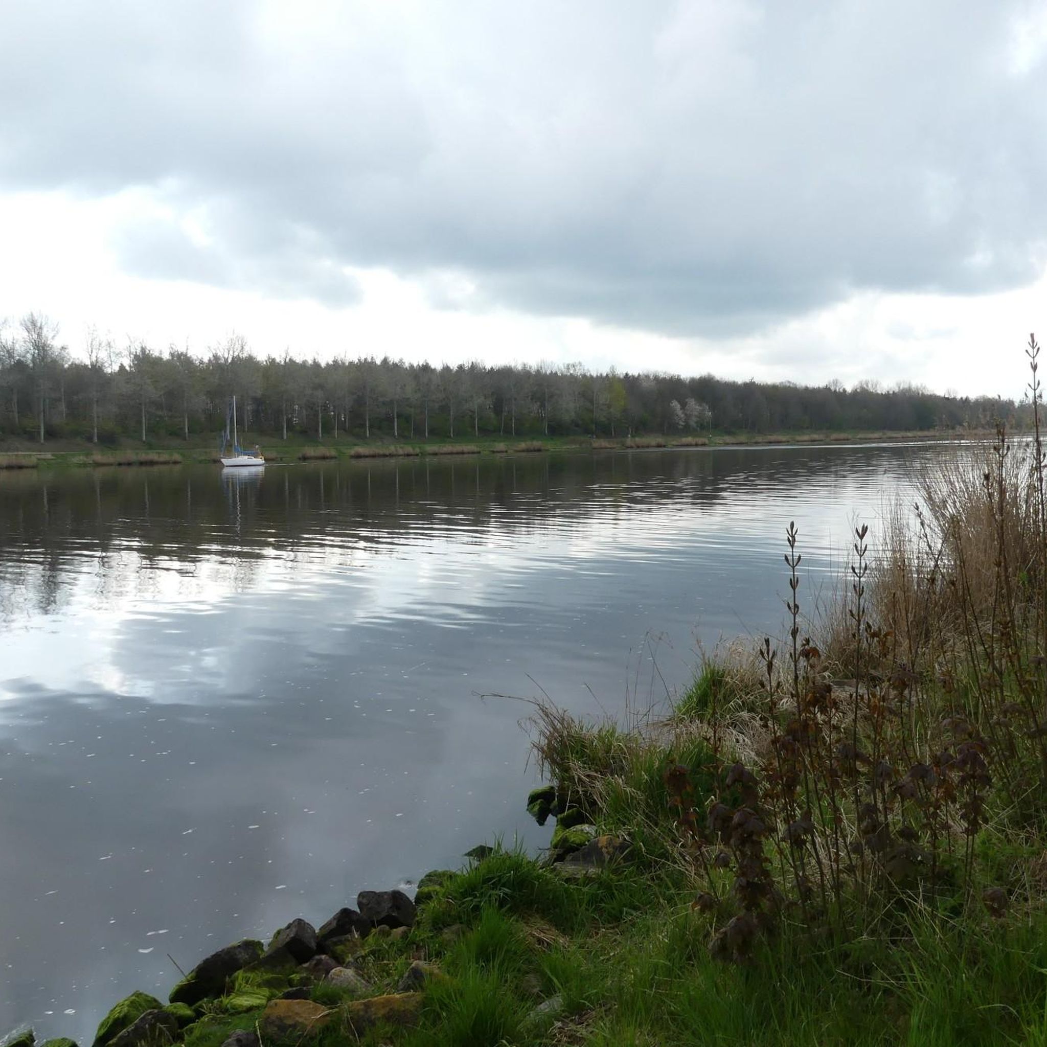
Watch out for the bridge toll
0
0

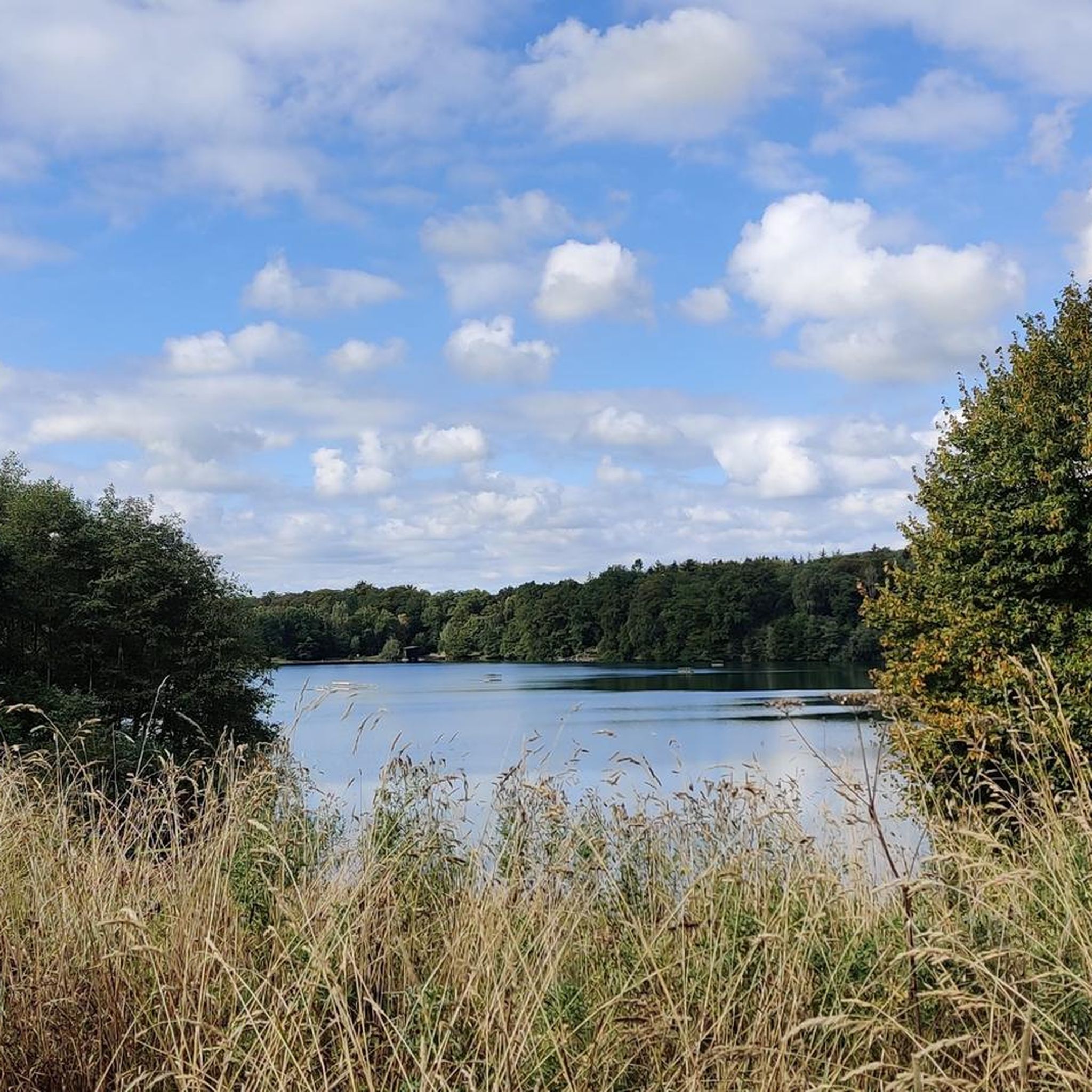
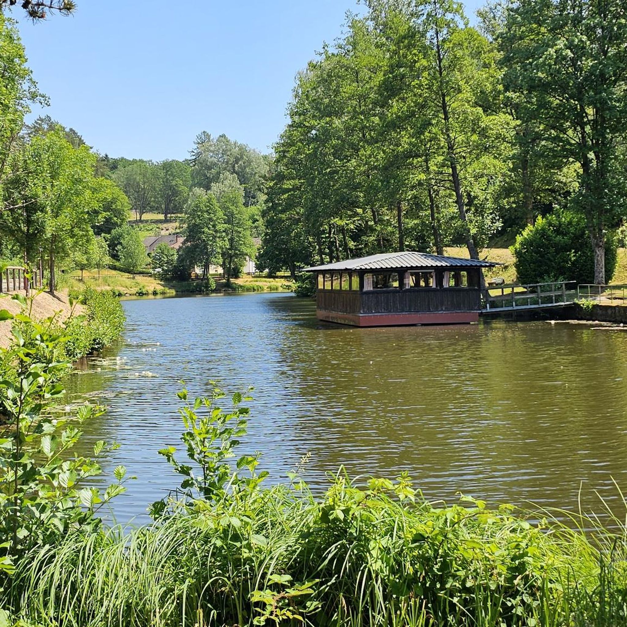
Beautiful destination in the Aukrug Nature Park
0
0
Beautiful destination in the Aukrug Nature Park
0
0

The chalk canal was formerly used to transport mining products to the Itzehoer Stör harbor. I believe that in earlier times, the barges were still towed by horses.
0
0

As is the case when you see calm flowing water, you come down yourself!!
1
0

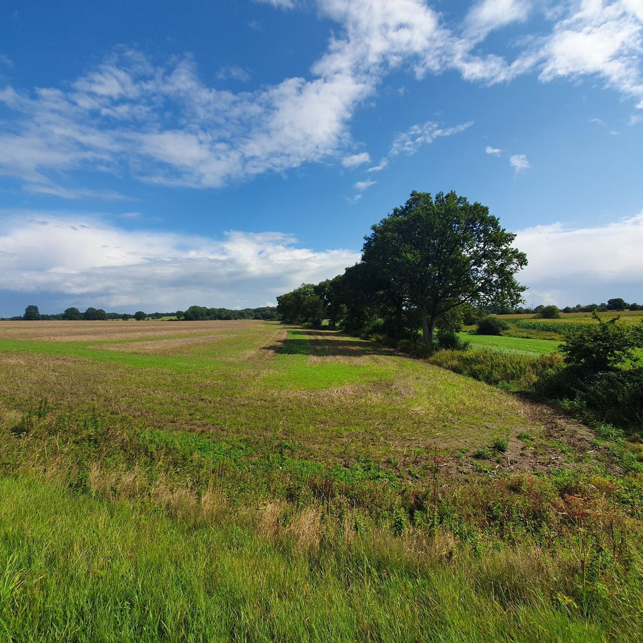
Pure nature, also invites you to hike
0
0

Idyllic canal with small villages
1
0
Frequently Asked Questions
How many gravel bike trails are there in Hadenfeld?
There are over 10 gravel bike trails available around Hadenfeld on komoot, offering a variety of experiences for different skill levels.
What kind of terrain can I expect on gravel bike trails around Hadenfeld?
The gravel bike trails around Hadenfeld traverse diverse landscapes, including the flat, open plains of the Marschen and the gently undulating terrain of the Geest. You'll encounter a mix of surfaces through wooded areas, lush meadows, and along the scenic Elbe and Stör rivers, providing varied conditions ideal for gravel biking.
Are there any easy gravel bike routes suitable for beginners in Hadenfeld?
Yes, Hadenfeld offers several easy gravel bike routes perfect for beginners. For example, the Picnic Area with Archway – Historic Drage Manor loop from Pöschendorf is an easy 19.0-mile (30.6 km) path with manageable elevation changes, making it a great option to start exploring the region.
Are there any challenging gravel bike routes in Hadenfeld?
For those seeking a more challenging ride, the Heiligenstedten drawbridge – Deckmannsche Sand Pits loop from Steinburg is a 28.1-mile (45.2 km) trail featuring the highest elevation gain in the area, providing a more demanding experience for advanced gravel bikers.
Can I find circular gravel bike routes in Hadenfeld?
Yes, many of the gravel bike routes around Hadenfeld are designed as loops, allowing you to start and end at the same point. Examples include the Historic Drage Manor – Hungriger Wolf Airfield loop from Kreis Steinburg and the Picnic Area with Archway – Bekau Stream loop from Pöschendorf.
What are some scenic highlights or attractions I can see along the gravel bike trails?
While gravel biking, you can encounter several interesting sights. Many routes offer picturesque water views along the Elbe and Stör rivers. Nearby attractions include various bridges over the Kiel Canal, such as the Hochdonn Ferry and Railway Bridge, and tranquil spots like Stormsteich Pond.
Is Hadenfeld suitable for family-friendly gravel biking?
The region's generally plain countryside with gentle undulations makes it suitable for family-friendly gravel biking. Many routes are classified as easy, offering manageable distances and elevation profiles. Look for routes with lower difficulty grades for a comfortable family outing.
What is the best time of year for gravel biking in Hadenfeld?
The best time for gravel biking in Hadenfeld is typically during the spring, summer, and early autumn months. During these seasons, the weather is generally milder, and the trails through wooded areas and meadows are at their most scenic. Winter conditions can vary, so checking local forecasts is advisable.
Are there options for parking near the gravel bike trails in Hadenfeld?
While specific parking areas for each trail are not detailed, Hadenfeld and the surrounding municipalities in the Steinburg district are generally accessible by car. Many routes start from villages or designated picnic areas, where parking is often available. We recommend checking the tour details on komoot for specific starting points.
Are dogs allowed on the gravel bike trails in Hadenfeld?
Generally, dogs are welcome on public trails in rural areas like Hadenfeld, especially if kept on a leash. However, it's always best to be mindful of local regulations, especially when passing through agricultural land or nature reserves. Ensure your dog is well-behaved and that you clean up after them.
What do other gravel bikers say about the trails in Hadenfeld?
The gravel bike trails around Hadenfeld are highly rated by the komoot community, with an average score of 4.4 stars from over 20 reviews. Riders often praise the varied terrain, the scenic riverine views, and the peaceful atmosphere of the Marschen and Geest landscapes.
What kind of elevation changes can I expect on Hadenfeld's gravel trails?
Hadenfeld is characterized by a relatively plain countryside. While there are gentle undulations, the overall elevation profile is manageable. The highest point in the broader region is Itzespitze at 83.4 meters. Most routes feature modest climbs, with the most challenging route having an elevation gain of around 224 meters.
Most popular attractions around Hadenfeld

Get inspired with the komoot mobile app


Explore more
Browse the best Gravel rides in other regions.
