The best gravel rides around Unterthingau
4.6
(141)
772
riders
94
rides
Gravel biking around Unterthingau offers diverse landscapes at the foot of the Allgäu Alps. The region features a pre-Alpine landscape with rolling meadows and picturesque hills, providing varied terrain for gravel routes. Riders can explore paths through the Kemptener Forest and extended moor landscapes, offering different surface types and shaded sections. This area provides a mix of ascents, descents, and flatter sections, suitable for a range of gravel biking experiences.
Best gravel bike trails around Unterthingau
- The most popular gravel bike trail is Iller Rapids – Iller Cliffs near Riederau loop from Wildpoldsried, a 25.3 miles (40.7 km) trail that takes 3 hours 20 minutes to complete. This moderate route explores the Iller River area with varied terrain.
- Another top favourite among local gravel bikers is View of Notzenweiher – Florian's Bridge loop from Burg Wolkenberg, a difficult 30.3 miles (48.8 km) path. This route offers views of Notzenweiher and passes by Florian's Bridge, featuring significant elevation changes.
- Local gravel bikers also love the View of the Alps from Allgäu – Beilstein Alp loop from Landkreis Ostallgäu, a 32.6 miles (52.5 km) trail leading through the Allgäu landscape, often completed in about 4 hours 16 minutes.
- Gravel biking around Unterthingau is defined by rolling meadows, pre-Alpine hills, and forest paths. The network offers options for different ability levels, from moderate routes to more challenging climbs.
- The routes in Unterthingau are highly rated by the komoot community with an average score of 4.6 stars from over 190 reviews. More than 1,100 gravel bikers have used komoot to explore Unterthingau's varied terrain.
Last updated: July 11, 2026
4.5
(17)
103
riders
54.4km
03:03
540m
540m
Hard gravel ride. Very good fitness required. Mostly paved surfaces. Suitable for all skill levels.
4.8
(5)
10
riders
40.9km
02:12
360m
360m
Moderate gravel ride. Good fitness required. Mostly paved surfaces. Suitable for all skill levels.

Sign up for free
4.5
(2)
10
riders
52.6km
03:20
440m
440m
Moderate gravel ride. Good fitness required. Mostly paved surfaces. Suitable for all skill levels.
5.0
(1)
6
riders
48.8km
03:02
600m
600m
Hard gravel ride. Very good fitness required. Mostly paved surfaces. Suitable for all skill levels.
5
riders
55.4km
03:32
490m
490m
Hard gravel ride. Very good fitness required. You may need to push your bike for some segments of this route.
Get access to more routes and recommendations from other explorers.
Sign up for free
Already have an account?
Our route recommendations are based on thousands of hikes, rides, and runs completed by other people on komoot.
Start today with a free account
Your next adventure awaits.
Login or Signup
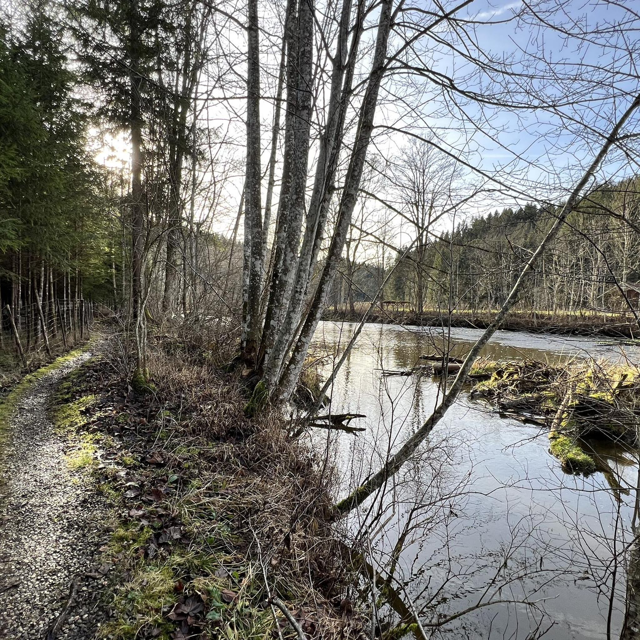
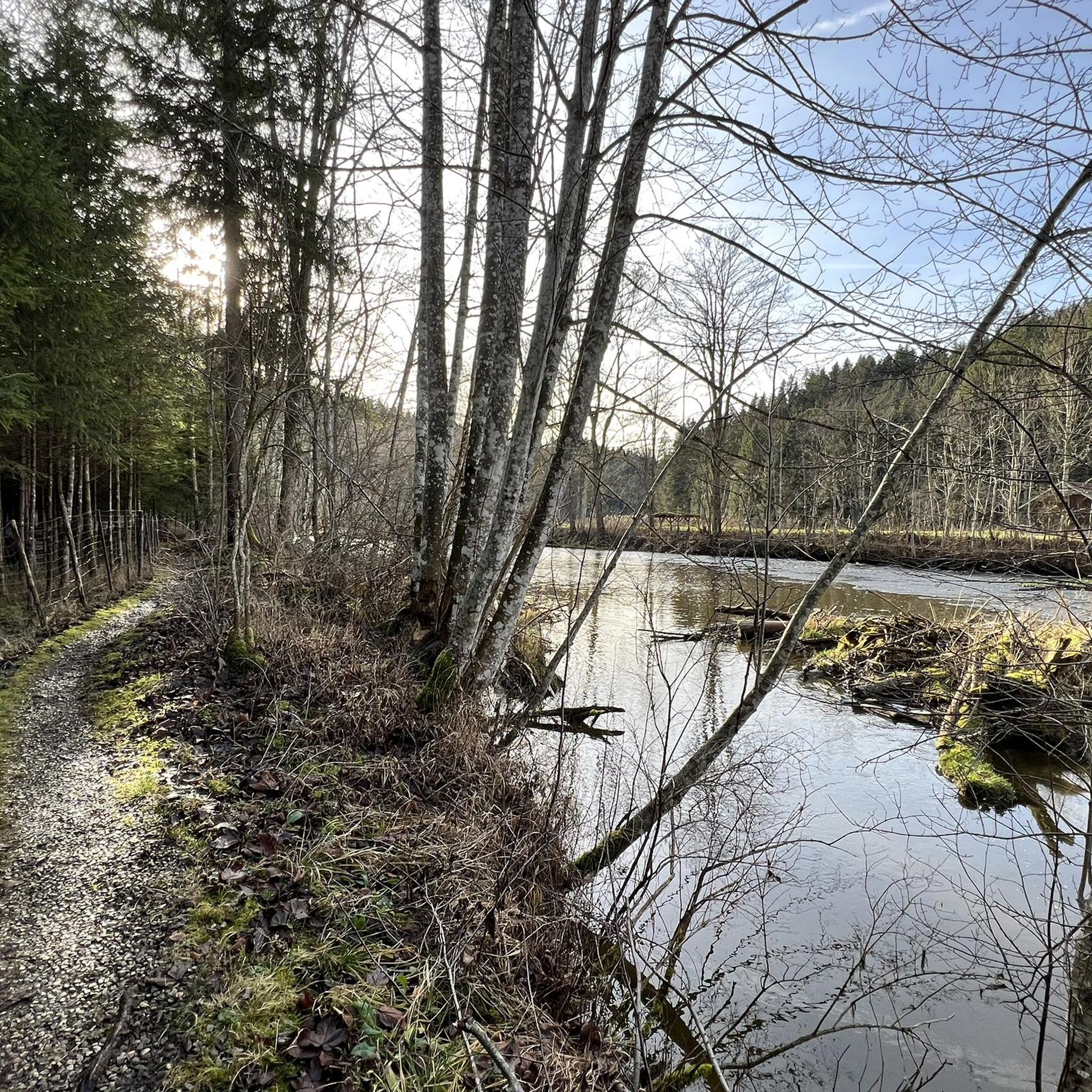
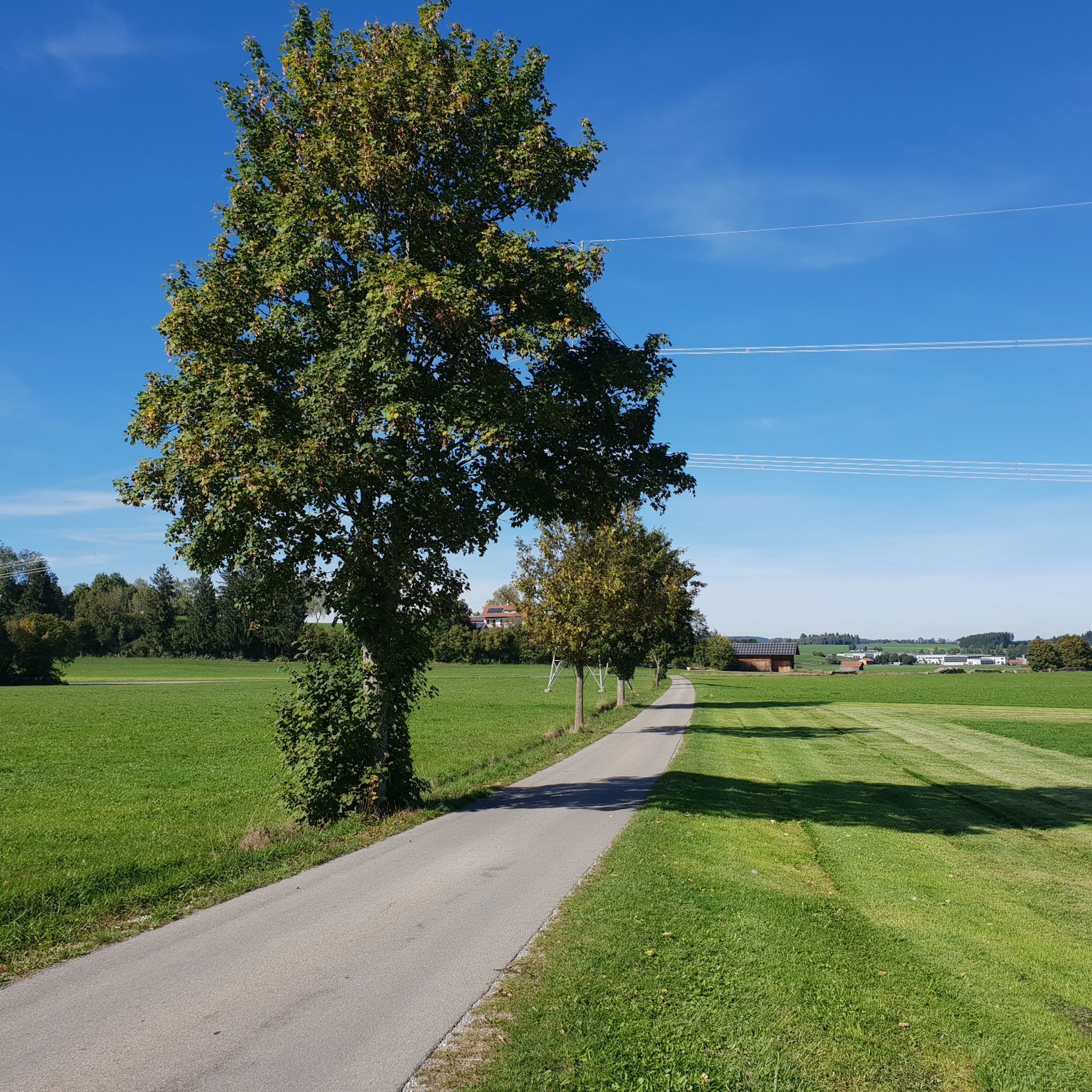
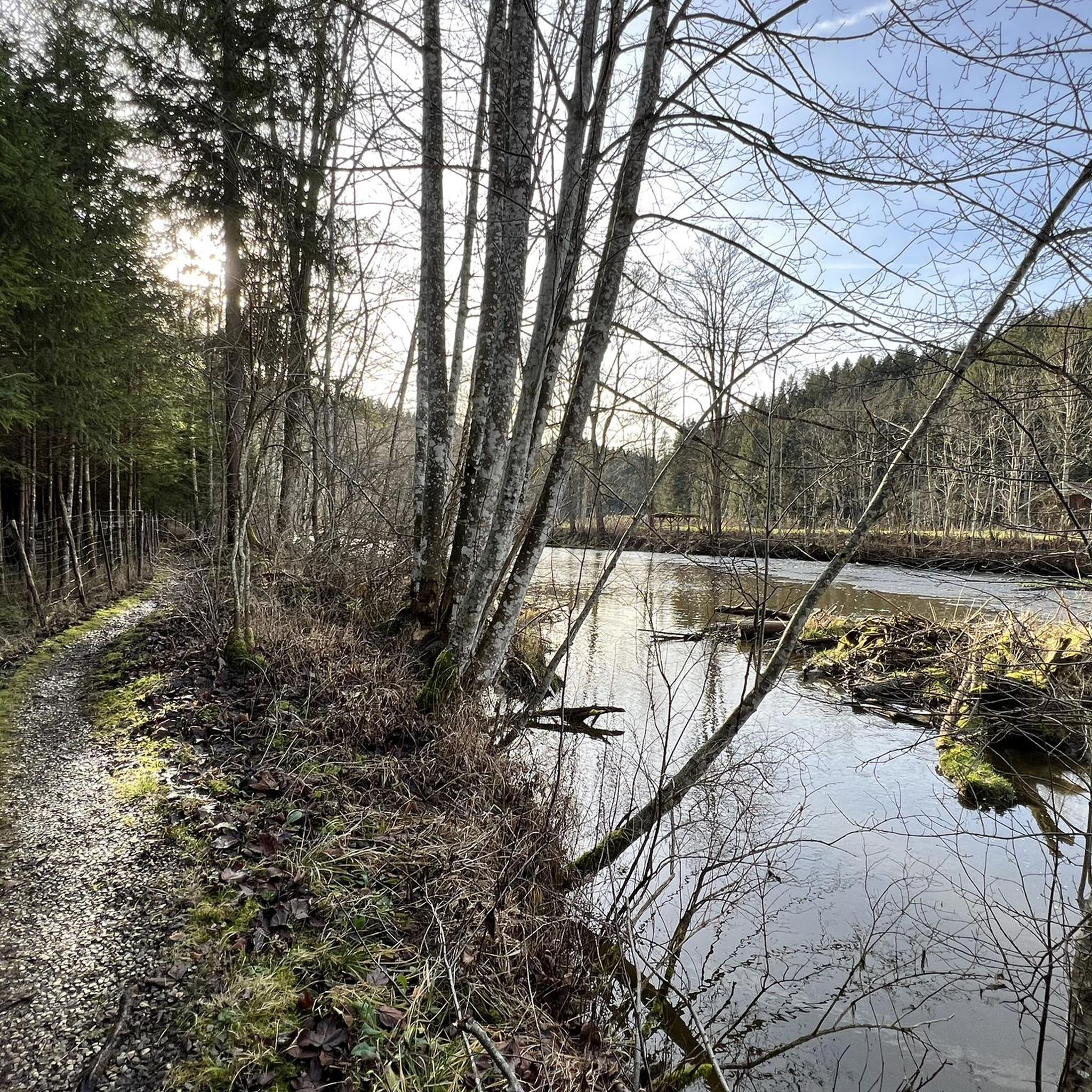
Tips from the Community

Best viewpoint at Hochgreuth
0
0
Unique viewpoint at Hochgreuth.
0
0

Possibility to cycle on the Iller cycle path from Oberstdorf to Ulm
0
0

Beautiful river loop. And there is also a bench for breaks.
0
0

A beautiful path in a great environment with a super panorama
0
1
Beautiful cycle path along the Iller with great views of the Alpine panorama
0
1
The area around Bachtelsee is beautiful for walking and observing the countless water birds in great variety.
0
0
Frequently Asked Questions
How many gravel bike trails are available around Unterthingau?
Unterthingau offers a wide selection of gravel biking routes, with over 200 trails available. These routes cater to various skill levels, including easy, moderate, and difficult options.
What kind of terrain and difficulty levels can I expect on gravel bike trails near Unterthingau?
The terrain around Unterthingau is diverse, characterized by rolling meadows, picturesque pre-Alpine hills, and forest paths through areas like the Kemptener Forest. You'll find a mix of ascents, descents, and flatter sections. Difficulty levels range from moderate routes, with 110 available, to more challenging climbs, with 78 difficult routes, and 14 easier options.
When is the best time of year for gravel biking in Unterthingau?
The best time for outdoor activities, including gravel biking, in the Unterthingau region is generally from May to October. During these months, the weather is typically favorable for exploring the diverse landscapes.
Are there family-friendly gravel biking options around Unterthingau?
Yes, there are family-friendly gravel biking options. The region offers 14 easy routes that are suitable for less experienced riders or families looking for a relaxed outing. These trails often traverse scenic meadows and less demanding paths.
Can I bring my dog on gravel bike trails in Unterthingau?
While specific regulations for dogs on gravel bike trails are not always posted, many natural paths and forest roads in the Allgäu region are generally dog-friendly, provided dogs are kept under control, especially around wildlife or livestock. Always be mindful of local signage and other trail users.
Are there any circular gravel bike routes around Unterthingau?
Yes, many of the gravel bike routes around Unterthingau are designed as loops. For example, the Iller Rapids – Iller Cliffs near Riederau loop from Wildpoldsried is a moderate 25.3-mile (40.7 km) trail that explores the Iller River area, and the Lake Elb – View of Lake Elbsee loop from Landkreis Ostallgäu offers a moderate 30.1-mile (30.1 km) ride around Lake Elbsee.
What are some notable natural features or viewpoints along the gravel bike routes?
The region offers several natural highlights. You can find Boardwalks through the reed belt at Elbsee, offering unique views of the moor landscapes. Another interesting spot is the Wertach Suspension Bridge and Terraced Waterfalls. Many routes also provide scenic views of the Allgäu Alps.
Are there any historical landmarks or castles accessible from the gravel bike trails?
Yes, the wider Ostallgäu region around Unterthingau is rich in historical sites. You might encounter landmarks such as the Liebenthann Castle Mill or the impressive Marktoberdorf Castle and St. Martin's Church. The famous Neuschwanstein Castle is also within reach, making Unterthingau a good base for exploring these cultural attractions.
How long do gravel bike routes typically take to complete around Unterthingau?
The duration of gravel bike routes varies depending on their length and difficulty. For example, the moderate Iller Cliffs near Riederau – View of the Allgäu Alps loop from Wildpoldsried, which is 22.7 miles (36.5 km), typically takes around 2 hours 40 minutes. Longer, more difficult routes, like the 30.3-mile (48.8 km) View of Notzenweiher – Florian's Bridge loop from Burg Wolkenberg, can take over 4 hours.
What do other gravel bikers enjoy the most about gravel biking in Unterthingau?
The area is highly rated by the komoot community, with an average score of 4.6 stars from over 190 reviews. Riders often praise the diverse landscapes, including rolling meadows and pre-Alpine hills, and the varied terrain that offers both challenging climbs and scenic, flatter sections through forests and moorlands.
Are there any routes that offer views of the Alps?
Absolutely. Given its location at the foot of the Allgäu Alps, many routes provide stunning panoramic views. A popular choice is the View of the Alps from Allgäu – Beilstein Alp loop from Landkreis Ostallgäu, a 32.6-mile (52.5 km) trail specifically known for its scenic vistas of the Alpine landscape.
Most popular routes around Unterthingau
Most popular attractions around Unterthingau

Get inspired with the komoot mobile app


Explore more
Browse the best Gravel rides in other regions.
