The best gravel rides around Heretsried
4.2
(37)
204
riders
51
rides
Gravel biking around Heretsried offers routes through river valleys and along former railway lines, providing varied terrain for cyclists. The region features paths alongside the Lech and Wertach rivers, often passing by lakes like Kuhsee. Elevations are generally low, with gentle ascents and descents across the landscape. The area provides a mix of easy and moderate gravel bike trails.
Best gravel bike trails around Heretsried
- The most popular gravel bike trail is Lech River near Augsburg – Kuhsee loop from…
Last updated: October 19, 2026
4.2
(13)
56
riders
Easy gravel ride. Great for any fitness level. Mostly paved surfaces. Suitable for all skill levels.
3.5
(4)
29
riders
Easy gravel ride. Great for any fitness level. Mostly paved surfaces. Suitable for all skill levels.

4
riders
Hard gravel ride. Very good fitness required. Mostly paved surfaces. Suitable for all skill levels.
7
riders
113km
05:43
410m
410m
Hard gravel ride. Very good fitness required. Mostly paved surfaces. Suitable for all skill levels.
5
riders
Moderate gravel ride. Good fitness required. Mostly paved surfaces. Suitable for all skill levels.
Get access to more routes and recommendations from other explorers.
Already have an account?
Our route recommendations are based on thousands of hikes, rides, and runs completed by other people on komoot.
Start today with a free account
Your next adventure awaits.
Tips from the Community

A beautiful cycle path on the Lech
0
0

The gravel banks are a cool area
0
0

A beautiful hiking trail on both sides of the Wertach.
0
0

Depending on the water flow in the Lech, north of the weir in Gersthofen, the "river" is only fed by the water flowing through the fish ladder, with the water being primarily diverted into the Lech canal.😒
0
0

The forest paths in the Thierhaut Forest are very well maintained and wonderful to ride.
0
0
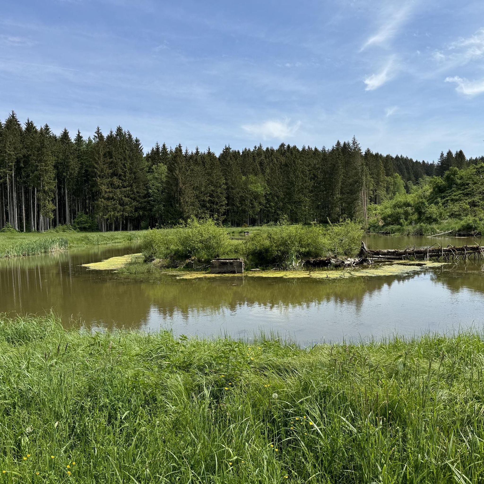
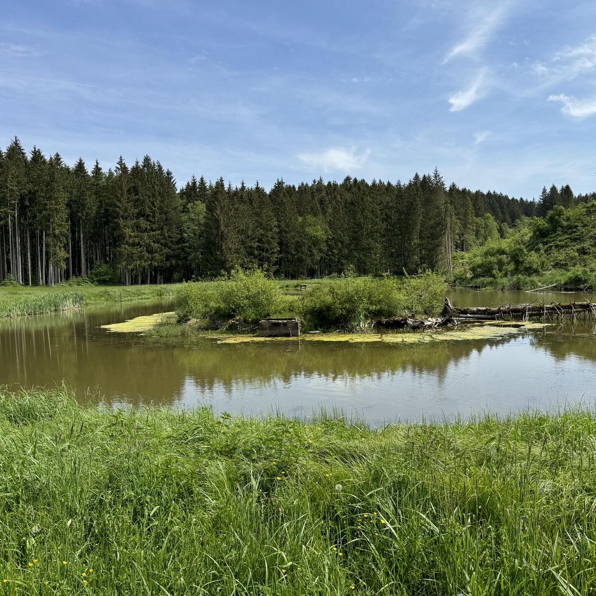
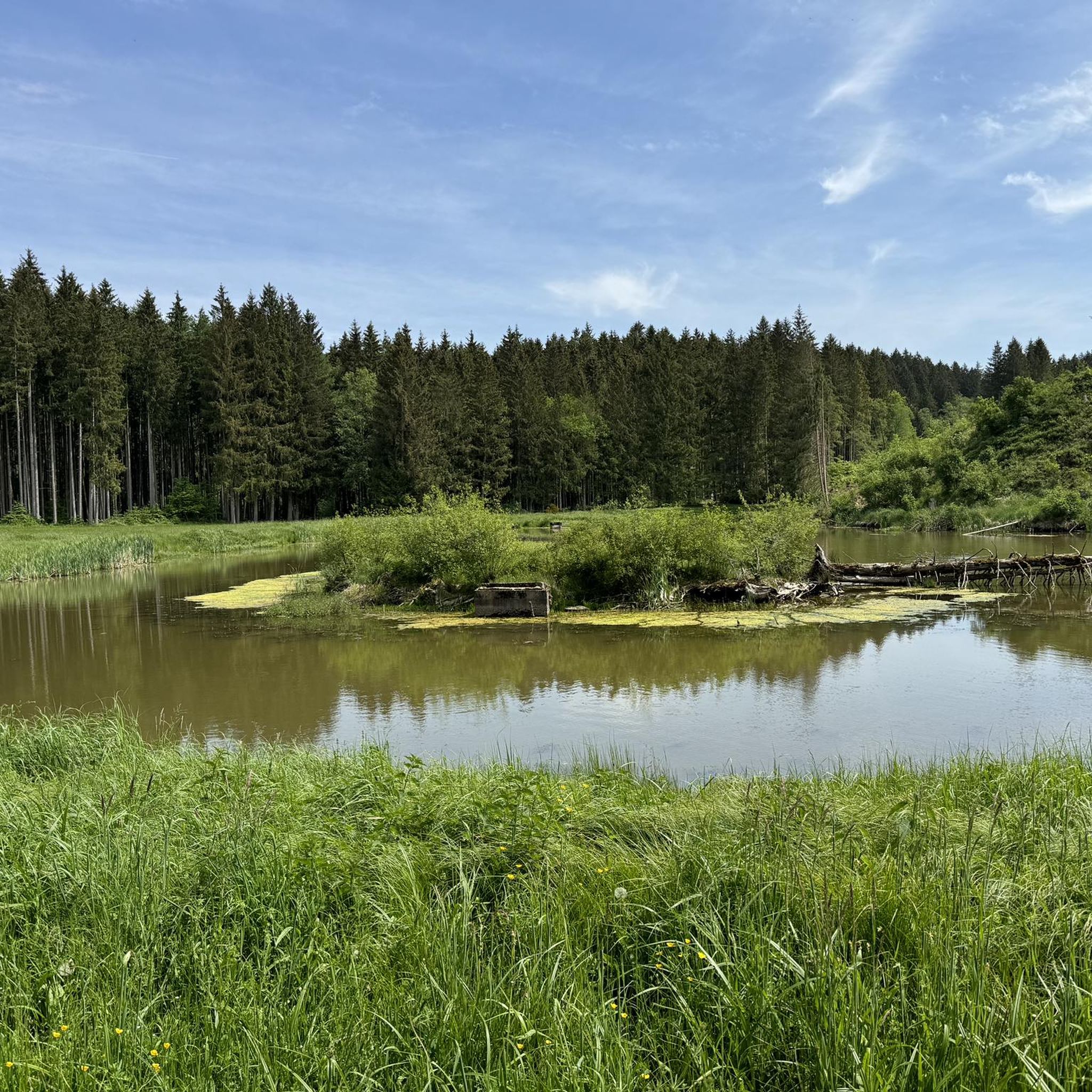
You should definitely pause and take a contemplative break at this gem.
0
0

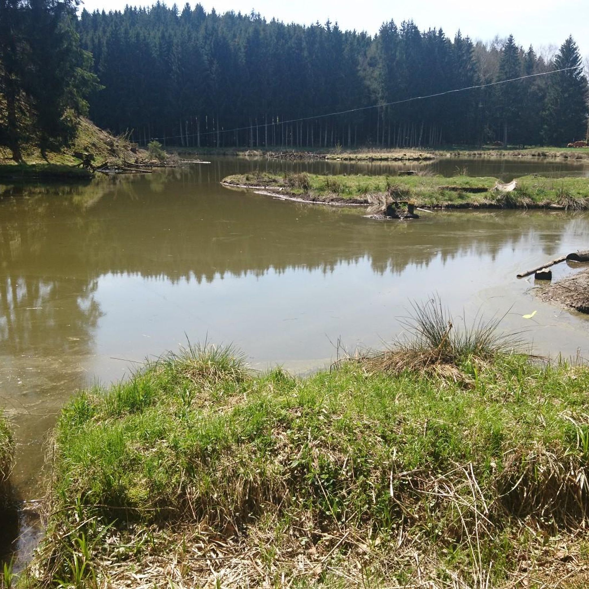
At the northern end of the Wolfzahnau, the Wertach River flows into the Lech River. The Lech and Wertach rivers converge in the Wolfzahnau – a landscape conservation area within the city of Augsburg, located on the western bank of the Lech River. The Lech carries greenish water, while the Wertach carries brownish water.
1
0

The Wertach is the second longest river in the Allgäu.
0
0
Frequently Asked Questions
How many gravel bike trails are available in Heretsried?
There are over 80 gravel bike routes available around Heretsried, offering a wide range of options for different skill levels and preferences.
What kind of terrain can I expect on gravel bike trails around Heretsried?
Gravel biking around Heretsried primarily features routes through river valleys and along former railway lines. You'll find varied terrain, often passing by rivers like the Lech and Wertach, and sometimes lakes such as Kuhsee. The elevations are generally low, with gentle ascents and descents across open landscapes.
Are there gravel bike trails suitable for beginners in Heretsried?
Yes, Heretsried offers several easy gravel bike routes perfect for beginners. For example, the The Wertach River in Augsburg – View of the Wertach River loop from Gersthofen is an easy 14.0-mile (22.5 km) trail that explores the river area with minimal elevation changes.
Are there challenging gravel bike routes for experienced riders?
While many routes are moderate, Heretsried also has more challenging options. There are 20 difficult routes available for experienced riders looking for a greater challenge. These routes often feature more varied terrain and longer distances.
Are there any long-distance gravel bike routes in the Heretsried area?
Yes, for those looking for longer rides, routes like the Göggingen Wertach Bridge – Wertach Embankment Trail loop from Neusäß offer extended distances. This particular route covers approximately 39.4 miles (63.4 km) along the Wertach Embankment, providing a substantial ride through riverine landscapes.
Can I find circular gravel bike routes around Heretsried?
Many of the gravel bike routes in Heretsried are designed as loops, allowing you to start and end at the same point. An example is the Weldenbahn Cycle Path – Rothsee, Zusmarshausen loop from Horgauergreut, which is a 25.6-mile (41.2 km) moderate loop.
What points of interest can I explore along the gravel bike trails in Heretsried?
Along the trails, you can discover various points of interest. The area features several bike parks, such as the Short trail in Naturpark Augsburg – Westliche Wälder or the Schafweide Flowtrail. You might also encounter charming huts like the Bahnhöfle Horgau or the Ganghofer Hut, Welden, which can be great spots for a break.
Are there places to stop for food or drink along the routes?
Yes, several routes pass by huts and restaurants where you can refuel. Highlights include the Bahnhöfle Horgau and the Hubertus Hut with fountain and water feature, offering opportunities for a break and refreshments.
What is the best time of year for gravel biking in Heretsried?
The best time for gravel biking in Heretsried is generally from spring through autumn. During these seasons, the weather is most favorable for exploring the river valleys and open landscapes. While some routes may be accessible in winter, conditions can vary, so checking local forecasts is always recommended.
What do other gravel bikers say about the trails in Heretsried?
The gravel biking routes in Heretsried are highly regarded by the komoot community, with an average rating of 4.3 stars from over 60 reviews. Riders often praise the varied terrain, the scenic river paths, and the well-maintained former railway lines that make for enjoyable rides.
Is public transport accessible for gravel biking routes in Heretsried?
Many starting points for gravel bike routes in the Heretsried area, particularly those closer to larger towns like Gersthofen or Augsburg, are generally accessible by public transport. It's advisable to check local bus or train schedules for specific route access points.
Most popular routes around Heretsried
Most popular attractions around Heretsried

Get inspired with the komoot mobile app


Explore more
Browse the best Gravel rides in other regions.
