The best gravel rides around Hammerstein
4.2
(51)
284
riders
45
rides
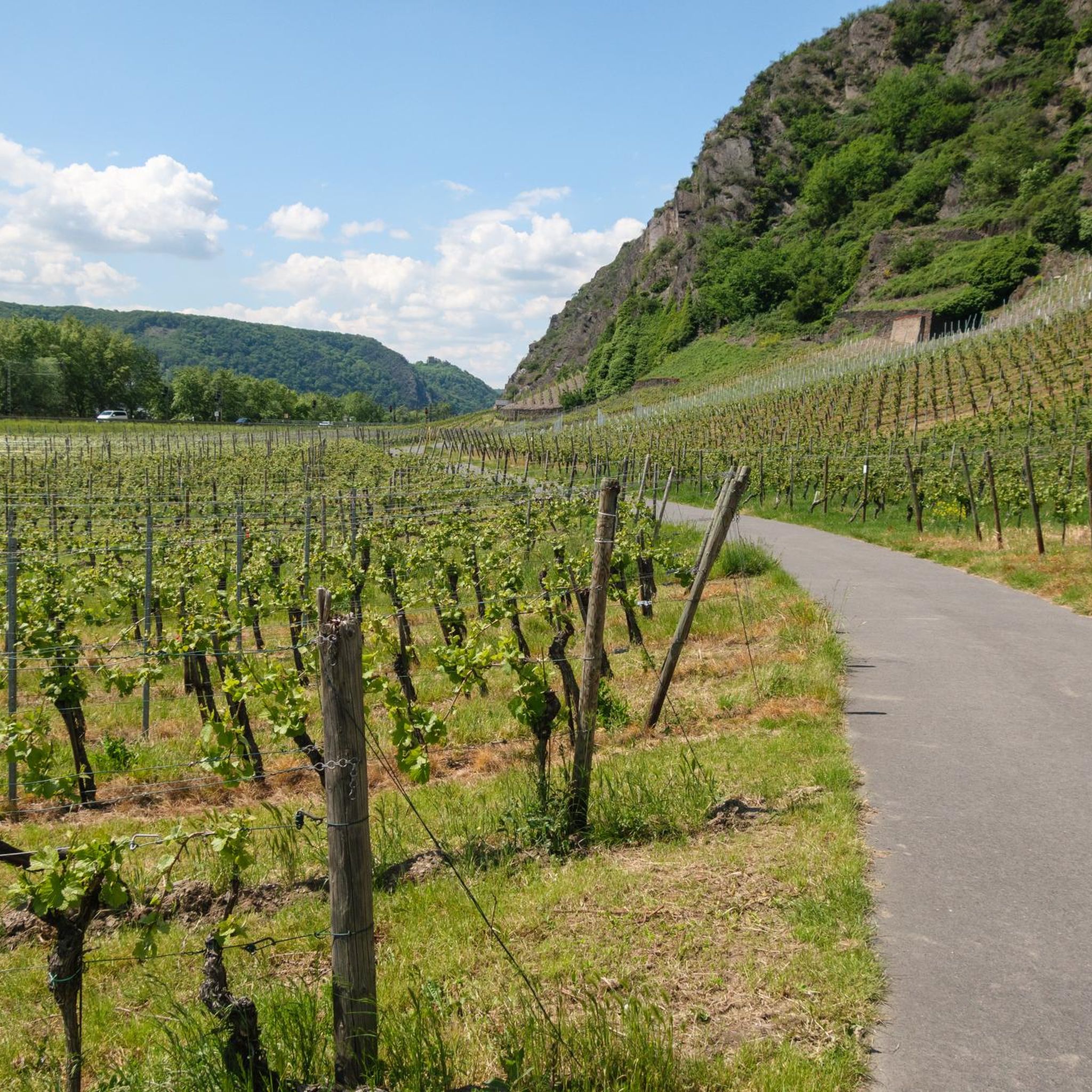
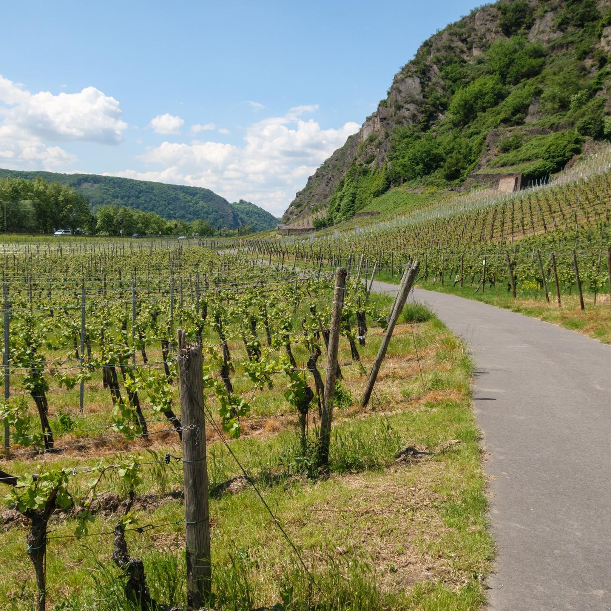
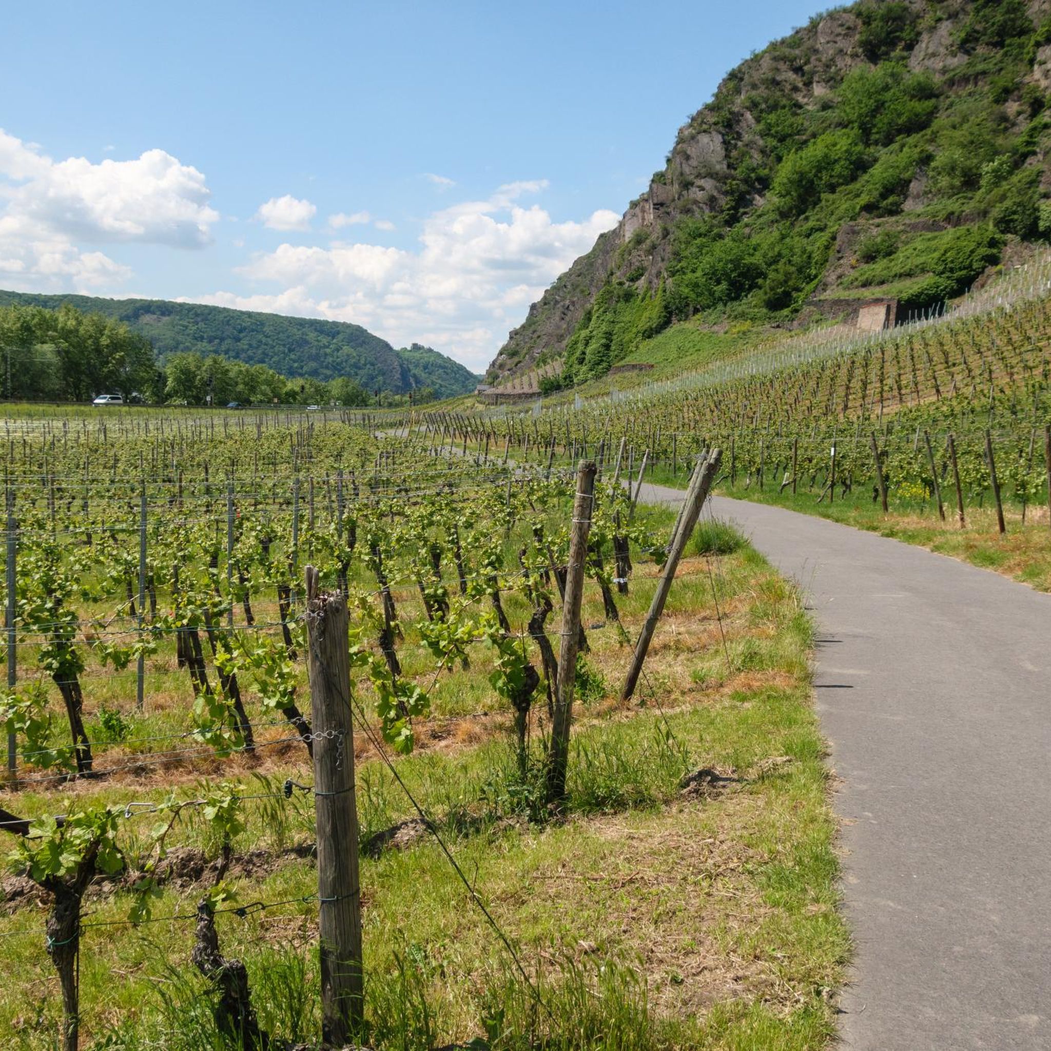
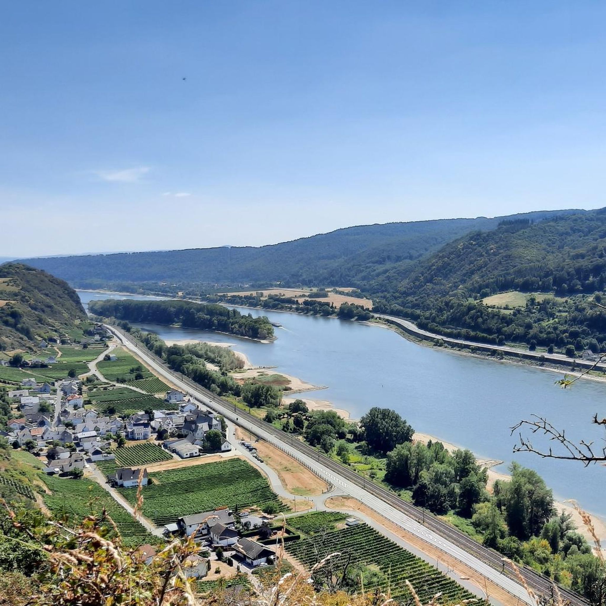
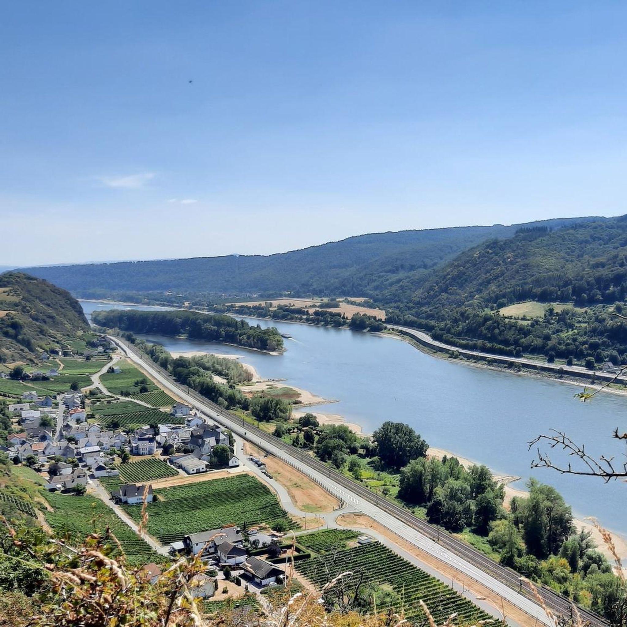
Gravel biking around Hammerstein offers varied terrain set against the Middle Rhine Valley. The region is characterized by its position on the Rhine River, featuring both riverine landscapes and hilly, forested areas. Riders can expect routes that traverse diverse topography, including paths through vineyards and past historical sites. This environment provides a mix of surfaces suitable for gravel cycling, from forest paths to less-trafficked roads.
Best gravel bike trails around Hammerstein
- The most popular gravel bike trail is Wied Valley with Campsites – View of the Neuwied Basin loop from Niederbreitbach, a 30.8 miles (49.5 km) trail that takes 4 hours 5 minutes to complete. This difficult route offers expansive views of the Neuwied Basin.
- Another top favourite among local gravel bikers is Wied Bridge in Datzeroth – Friedrichsthal Bridge loop from Niederbreitbach, a difficult 18.3 miles (29.4 km) path. This route features scenic passages along the Wied River, connecting various bridges.
- Local gravel bikers also love the View of the Neuwied Basin near Eich – Forest trails near Laacher See loop from Andernach, a 14.0 miles (22.6 km) trail leading through forest trails, often completed in about 1 hour 41 minutes.
- Gravel biking around Hammerstein is defined by the Rhine River valley, dense woodlands, and historic landscapes. The network offers options for different ability levels, from moderate rides to more challenging routes with significant elevation gain.
- The routes in Hammerstein are highly rated by the komoot community with an average score of 4.1 stars from more than 50 reviews. More than 350 gravel bikers have used komoot to explore Hammerstein's varied terrain.
Last updated: July 3, 2026
4.5
(2)
5
riders
Moderate gravel ride. Good fitness required. Mostly paved surfaces. Suitable for all skill levels.
5.0
(2)
15
riders
Hard gravel ride. Very good fitness required. You may need to push your bike for some segments of this route.

Sign up for free
4.5
(2)
13
riders
Hard gravel ride. Very good fitness required. Mostly paved surfaces. Suitable for all skill levels.
3.5
(4)
8
riders
28.8km
01:48
420m
420m
Hard gravel ride. Good fitness required. You may need to push your bike for some segments of this route.
3.7
(3)
4
riders
Moderate gravel ride. Good fitness required. Mostly paved surfaces. Suitable for all skill levels.
Get access to more routes and recommendations from other explorers.
Sign up for free
Already have an account?
Our route recommendations are based on thousands of hikes, rides, and runs completed by other people on komoot.
Start today with a free account
Your next adventure awaits.
Login or Signup
Tips from the Community

Mill on the Wied, driven by the Laubach
0
0
Great valley view in the beautiful Wiedtal valley
0
0

The Wied is a river in Rhineland-Palatinate, Germany, and a right tributary of the Rhine. Waldbreitbach is a municipality situated right on the Wied river in the beautiful Westerwald hills https://www.e-zpassKY.com
1
0

A globally recognized and, especially in recent years, exceptionally outstanding museum in terms of academics. Unfortunately, it doesn't receive the local attention it deserves. However, it's a pleasant place to visit, as only genuinely interested people and a pleasantly spread-out crowd come here. The café is also very nice. In summer, you can sit outside, as the princes once did, in the area where the bowling alley used to be, to relax after a day of hunting.
0
0

Currently closed due to aggressive hornets....
0
0

Nice to look at, with restaurants and a museum.
0
0

A lovely little outdoor dining area with a stunning view. Great menu, inviting you to linger.
0
0

a great museum about the origin and life of man
0
0
Frequently Asked Questions
How many gravel bike trails are available around Hammerstein?
There are nearly 60 gravel bike trails available around Hammerstein, catering to various skill levels. You'll find a mix of moderate and difficult routes, with a few easier options as well.
Are there any easy gravel bike routes suitable for beginners or families?
Yes, while many routes are moderate to difficult, there are options for beginners. For example, the View of the Neuwied Basin near Eich – Forest trails near Laacher See loop from Andernach is rated as moderate and offers a good introduction to the area's terrain.
What kind of terrain can I expect on gravel bike trails in Hammerstein?
The terrain around Hammerstein is quite varied, featuring riverine landscapes along the Rhine, hilly and forested areas, and paths through vineyards. You'll encounter a mix of surfaces, including forest paths and less-trafficked roads, providing a diverse gravel biking experience.
What do other gravel bikers enjoy most about the trails in Hammerstein?
The gravel biking routes in Hammerstein are highly rated by the komoot community, with an average score of 4.1 stars from over 50 reviews. Riders often praise the varied terrain, the scenic views of the Middle Rhine Valley, and the diverse landscapes that include forests, hills, and river sections.
Are there any advanced or challenging gravel bike routes in the area?
Absolutely. For experienced riders seeking a challenge, routes like the Wied Valley with Campsites – View of the Neuwied Basin loop from Niederbreitbach offer significant elevation gain over 30 miles, providing expansive views and a demanding ride. Another difficult option is the Wied Bridge in Datzeroth – Friedrichsthal Bridge loop from Niederbreitbach, known for its scenic passages along the Wied River.
What natural attractions or landmarks can I see along the gravel routes?
The Hammerstein area is rich in natural beauty and historical sites. You can explore features like the Trass Caves Brohltal, the stunning Waterfall in the Wolfsschlucht, or the volcanic Laacher Lake. The ruins of the 10th-century Hammerstein Castle also offer breathtaking views of the Rhine Valley.
Are there any loop gravel bike trails around Hammerstein?
Yes, many of the gravel bike trails in Hammerstein are designed as loops, allowing you to start and end at the same point. Examples include the Lake Laach – Lake Laach loop from Eich and the Leutesdorf Riverside Promenade – Arenfels Castle loop from Bad Breisig, which offers a longer, challenging ride.
What is the best time of year for gravel biking in Hammerstein?
The Middle Rhine Valley, including Hammerstein, is beautiful throughout the warmer months. Spring and autumn offer pleasant temperatures and vibrant scenery, making them ideal for gravel biking. Summer can also be great, especially for enjoying the Rhine's bathing spots like the Hammersteiner Werth island.
Are there any viewpoints or scenic spots along the trails?
Yes, the hilly terrain and position along the Rhine River provide numerous scenic viewpoints. Many routes offer panoramic views, such as those overlooking the Neuwied Basin. You can also find dedicated viewpoints like Viewpoint Almblick, which are perfect for a break and to enjoy the landscape.
Is public transport available to access gravel bike routes in Hammerstein?
Hammerstein is situated in a region with public transport options, including train lines along the Rhine. While specific route access points vary, it's often possible to reach starting points of tours via regional trains or buses, especially in larger towns nearby. We recommend checking local transport schedules for specific connections to your chosen starting point.
Where can I find parking for gravel bike trails in Hammerstein?
Parking availability varies by route starting point. Generally, you can find public parking in the villages and towns surrounding Hammerstein, such as Niederbreitbach, Andernach, or Eich, which serve as common starting points for many komoot tours. Look for designated parking areas near trailheads or town centers.
Most popular routes around Hammerstein
Most popular attractions around Hammerstein

Get inspired with the komoot mobile app


Explore more
Browse the best Gravel rides in other regions.
