The best gravel rides around Neusäß
4.4
(817)
4,172
riders
248
rides
Gravel biking around Neusäß offers access to the diverse landscapes of the Augsburg-Westliche Wälder Nature Park. The region features a mix of forests, rolling hills, and river valleys, providing varied terrain for cyclists. Gravel routes traverse compacted gravel paths, unpaved sections, and some asphalt, often following river courses like the Schmutter and Wertach. This area is characterized by its natural flood plains and extensive green spaces, ideal for outdoor exploration.
Best gravel bike trails around Neusäß
- The most popular gravel…
Last updated: July 2, 2026
4.7
(43)
146
riders
Moderate gravel ride. Good fitness required. Mostly paved surfaces. Suitable for all skill levels.
4.4
(10)
46
riders
Easy gravel ride. Great for any fitness level. Mostly paved surfaces. Suitable for all skill levels.

Sign up for free
4.5
(6)
42
riders
Moderate gravel ride. Good fitness required. Mostly paved surfaces. Suitable for all skill levels.
4.7
(3)
22
riders
42.6km
02:15
290m
290m
Moderate gravel ride. Good fitness required. Mostly paved surfaces. Suitable for all skill levels.
3.3
(3)
26
riders
Easy gravel ride. Great for any fitness level. Mostly paved surfaces. Suitable for all skill levels.
Get access to more routes and recommendations from other explorers.
Sign up for free
Already have an account?
Our route recommendations are based on thousands of hikes, rides, and runs completed by other people on komoot.
Start today with a free account
Your next adventure awaits.
Login or Signup



Tips from the Community

A beautiful hiking trail on both sides of the Wertach.
0
0

Depending on the water flow in the Lech, north of the weir in Gersthofen, the "river" is only fed by the water flowing through the fish ladder, with the water being primarily diverted into the Lech canal.😒
0
0

Without mosquitoes along the dam
0
0

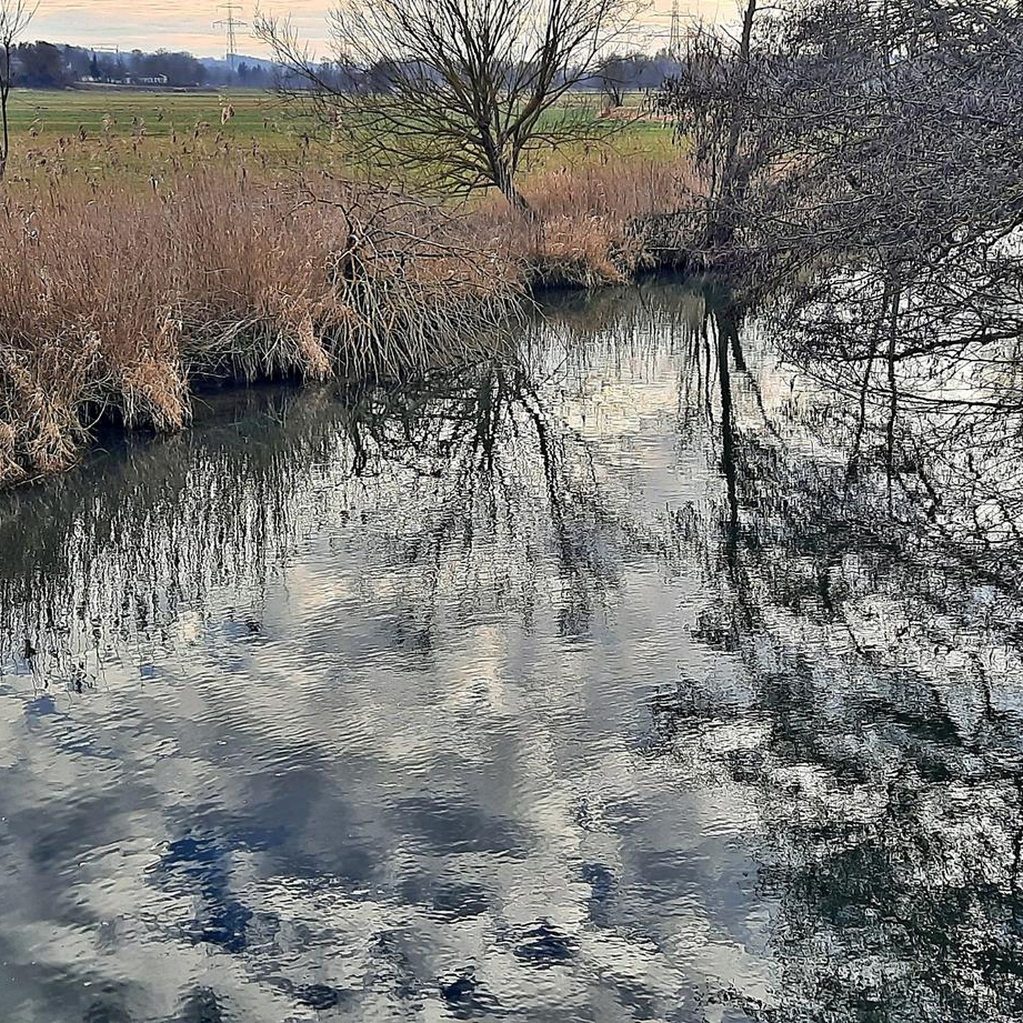
At the northern end of the Wolfzahnau, the Wertach River flows into the Lech River. The Lech and Wertach rivers converge in the Wolfzahnau – a landscape conservation area within the city of Augsburg, located on the western bank of the Lech River. The Lech carries greenish water, while the Wertach carries brownish water.
1
0

The Wertach is the second longest river in the Allgäu.
0
0

The Lech is a right tributary of the Danube. The 256 km long river originates in Vorarlberg in the Hochtannberg region at the confluence of the Spullerbach and Formarinbach streams in the Tannläger valley. It flows through Tyrol and southern Bavaria, where it empties into the Danube. Shortly before the Austrian-German border, it joins the Vils river, forms the artificial Lechfall near Füssen, and crosses Swabia and Upper Bavaria on its way. The largest cities on the Lech are Landsberg and Augsburg; in this city, it receives its largest tributary, the Wertach. The river empties into the Danube near Marxheim. Source: Wikipedia
1
0
The Lech is a right tributary of the Danube. The 256 km long river originates in Vorarlberg in the Hochtannberg region at the confluence of the Spullerbach and Formarinbach streams in the Tannläger valley. It flows through Tyrol and southern Bavaria, where it empties into the Danube. Shortly before the Austrian-German border, it joins the Vils river, forms the artificial Lechfall near Füssen, and crosses Swabia and Upper Bavaria on its way. The largest cities on the Lech are Landsberg and Augsburg; in this city, it receives its largest tributary, the Wertach. The river empties into the Danube near Marxheim. Source: Wikipedia
2
0

Frequently Asked Questions
How many gravel bike trails are available around Neusäß?
There are over 30 gravel bike trails around Neusäß, offering a diverse range of routes. The majority, about 26, are considered moderate, with a few easier and more challenging options available.
What kind of terrain can I expect on gravel bike routes in Neusäß?
Gravel biking in Neusäß offers varied terrain, including compacted gravel paths, unpaved sections, and some asphalt. You'll encounter dense forests, gentle rolling hills, and scenic river valleys, particularly along the Schmutter and Wertach rivers, as well as routes through the Augsburg-Westliche Wälder Nature Park.
Are there any family-friendly gravel bike trails in the Neusäß area?
Yes, Neusäß offers several routes suitable for families. While specific 'easy' routes are available, many of the moderate trails can be enjoyed by families looking for a longer ride on varied surfaces. The region's extensive network through green spaces and along river paths provides a pleasant environment for family outings.
Can I bring my dog on gravel bike routes near Neusäß?
Many of the gravel trails around Neusäß, especially those through the Augsburg-Westliche Wälder Nature Park and along river valleys, are suitable for cycling with dogs, provided they are well-behaved and kept on a leash where required. Always be mindful of other trail users and local regulations regarding pets in nature areas.
What are some scenic viewpoints or natural attractions along the gravel routes?
The region is rich in natural beauty. You can find scenic views of the Schmutter Valley, explore the Anhauser Valley, or cycle past various lakes like Fir Pond and Kuhsee. The Wertach bridge near Inningen also offers a notable viewpoint.
Are there any loop gravel bike routes around Neusäß?
Yes, many of the gravel routes around Neusäß are designed as loops, allowing you to start and end at the same point. An example is the Göggingen Wertach Bridge – Wertach Embankment Trail loop from Neusäß, which offers a comprehensive tour of the riverine landscapes.
What is the best time of year for gravel biking in Neusäß?
The best time for gravel biking in Neusäß is generally from spring through autumn (April to October). During these months, the weather is typically mild, and the trails are in good condition. Summer offers lush green landscapes, while autumn provides beautiful foliage. Winter riding is possible but can be challenging due to colder temperatures and potentially muddy or icy conditions.
Where can I find parking for gravel biking in Neusäß?
Neusäß and its surrounding areas, especially near popular trailheads and access points to the Augsburg-Westliche Wälder Nature Park, offer various parking options. Specific parking areas can often be found near recreational spots or village centers, providing convenient access to the gravel network.
Can I access gravel bike routes in Neusäß using public transport?
Neusäß is well-connected by public transport, making it possible to reach the starting points of many gravel routes without a car. The local bus and train services often allow for bicycle transport, especially outside of peak hours, providing good access to the broader cycling network in the Landkreis Augsburg.
What do other gravel bikers say about the trails in Neusäß?
The gravel biking routes around Neusäß are highly regarded by the komoot community, boasting an average rating of 4.5 stars from over 700 reviews. Riders frequently praise the diverse landscapes, the well-maintained paths, and the peaceful atmosphere of the forests and river valleys.
Are there any longer, more challenging gravel routes for experienced riders?
While many routes are moderate, there are options for more experienced riders seeking longer distances and greater elevation. For instance, the Rothsee Lakeside Meadow and Rest Area – Rothsee (Zusmarshausen) loop from Westheim (Schwab) offers significant elevation gain over its 42 km, providing a good challenge.
Are there any cafes or pubs along the gravel bike routes for a break?
Yes, the region around Neusäß has various villages and towns along the routes where you can find cafes, pubs, and restaurants. These establishments offer opportunities for a refreshing break, a meal, or to refill water bottles, especially in larger settlements or near popular attractions within the Augsburg-Westliche Wälder Nature Park.
Most popular attractions around Neusäß

Get inspired with the komoot mobile app


Explore more
Browse the best Gravel rides in other regions.
