The best gravel rides around Börnichen
4.6
(39)
183
riders
49
rides
Gravel biking around Börnichen offers diverse terrain within Saxony, Germany, characterized by rugged landscapes and varied natural features. The region features challenging climbs and rapid descents across its trails, providing an immersive outdoor experience. Cyclists can explore areas with tranquil reservoirs, impressive rock formations, and the extensive forested mountains of the Erzgebirge. This combination of features makes Börnichen a notable destination for gravel biking.
Best gravel bike trails around Börnichen
- The most popular gravel bike trail is View of Auerbach…
Last updated: July 2, 2026
4.7
(10)
18
riders
47.8km
03:04
560m
560m
Hard gravel ride. Very good fitness required. Mostly paved surfaces. Suitable for all skill levels.
7
riders
92.5km
06:02
1,400m
1,400m
Hard gravel ride. Very good fitness required. Mostly paved surfaces. Suitable for all skill levels.

Sign up for free
5.0
(1)
11
riders
Moderate gravel ride. Good fitness required. Mostly paved surfaces. Suitable for all skill levels.
5.0
(3)
14
riders
Hard gravel ride. Very good fitness required. Mostly paved surfaces. Suitable for all skill levels.
4.5
(2)
8
riders
23.9km
01:32
320m
310m
Moderate gravel ride. Good fitness required. Mostly paved surfaces. Suitable for all skill levels.
Get access to more routes and recommendations from other explorers.
Sign up for free
Already have an account?
Our route recommendations are based on thousands of hikes, rides, and runs completed by other people on komoot.
Start today with a free account
Your next adventure awaits.
Login or Signup
Tips from the Community

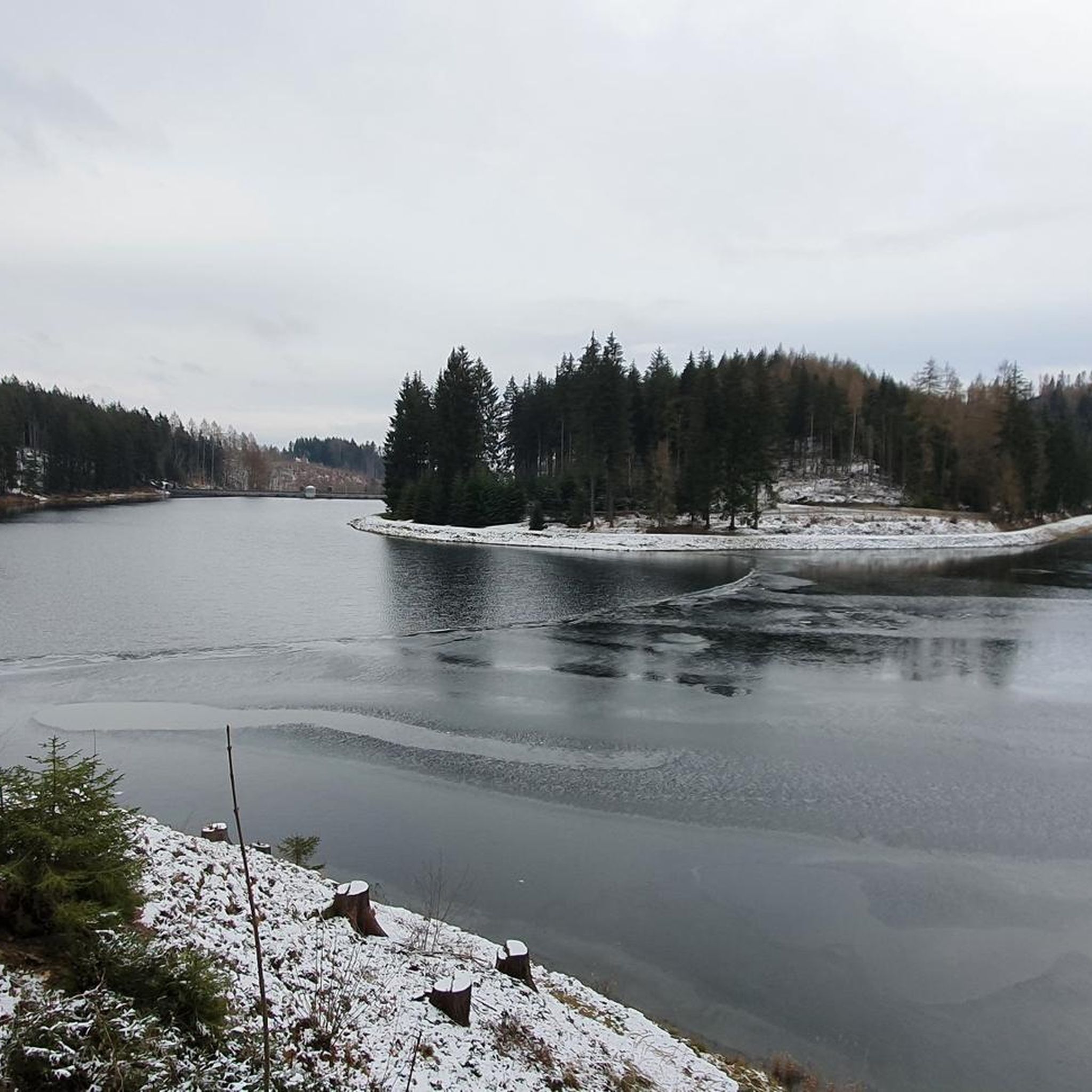
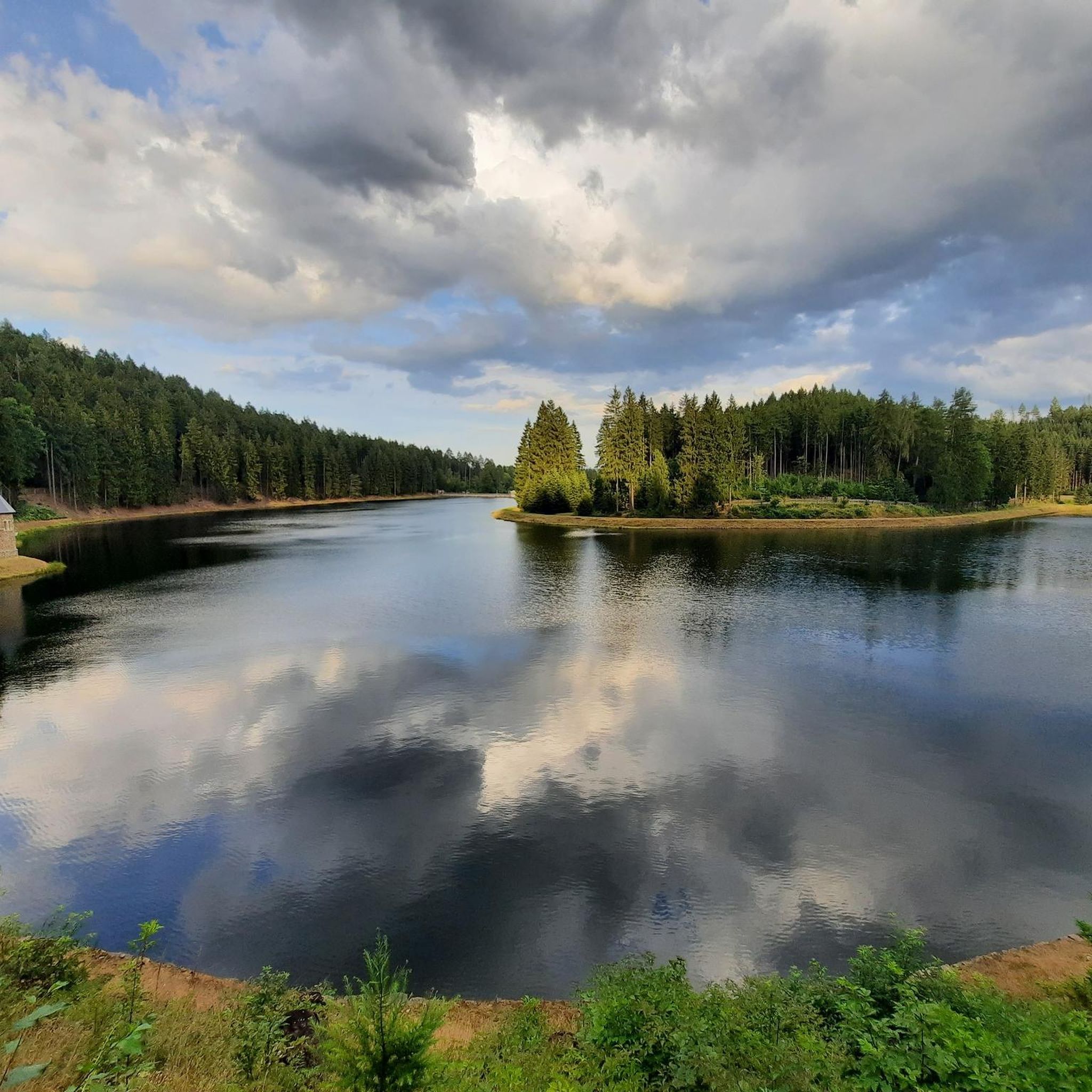
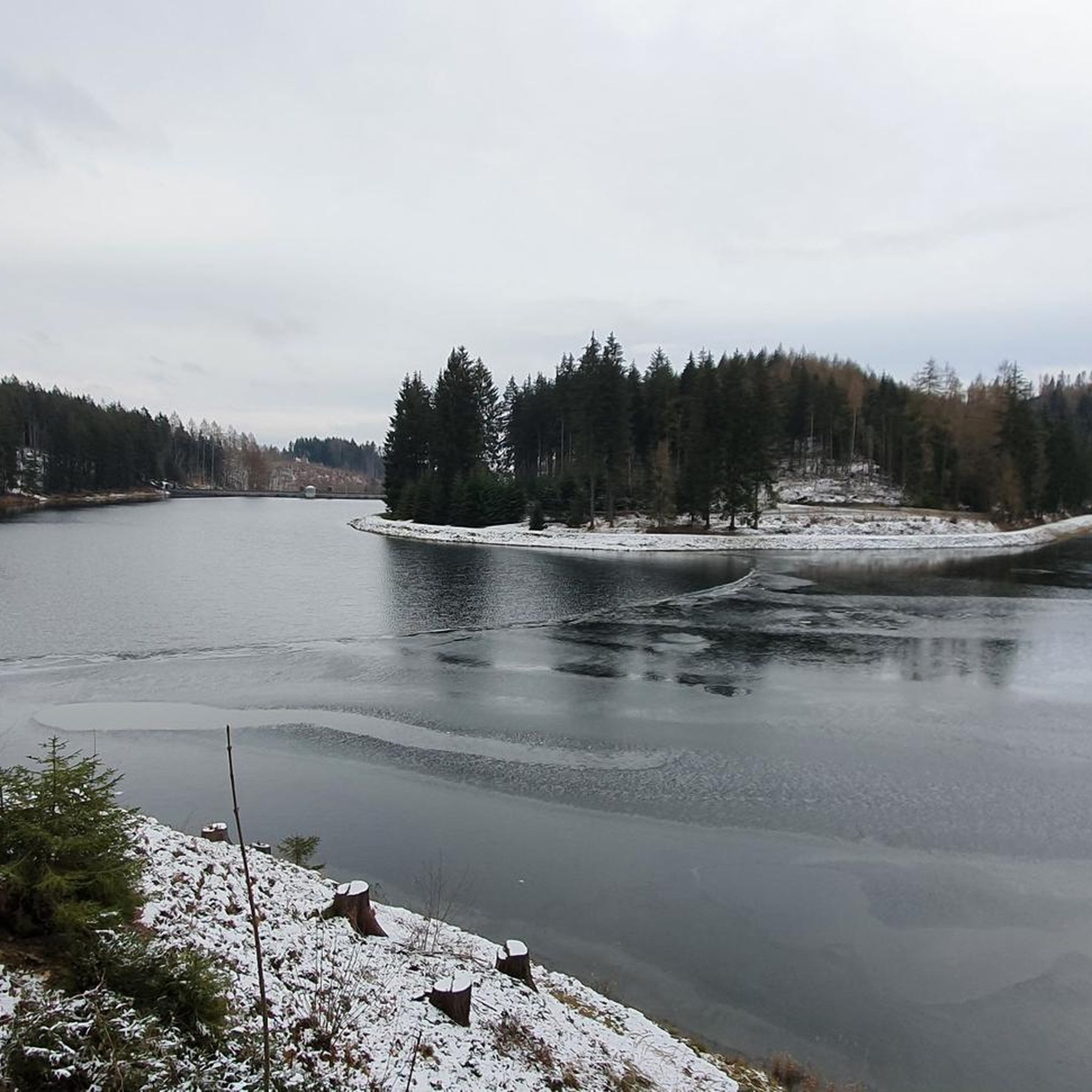
Super view and loungers for relaxing
0
0


The valley is easy to cycle through and very romantic.
0
0

what a beautiful landscape
0
0

The Devil's Wall is one of the most striking and impressive rock formations in the Upper Schwarzwasser Valley of the Ore Mountains, located in the Schwarzwassertal Nature Reserve south of Pobershau in Saxony. It is a popular destination for hikers and nature photographers. Geology and Formation The Devil's Wall is an excellent example of the geological composition of the Ore Mountains. It consists primarily of gneiss and migmatitic gneiss, formed millions of years ago by tectonic processes and metamorphism. The distinctive shape of the Devil's Wall is the result of erosion by the Schwarze Pockau River, which cut deep into the rock over long periods of time, thus exposing this steep, wall-like rock face. The varying weathering resistance of the rock layers also contributes to the rugged structure. Characteristics and Appearance The Devil's Wall presents itself as a long, steeply rising rock face that stretches along the river. Its name probably derives from its imposing, sometimes almost threatening appearance, reminiscent of a wall erected by supernatural forces. It is covered in mosses and lichens, giving it a mysterious atmosphere, especially in damp or foggy weather. Significance and Accessibility The Devil's Wall is not only a geological highlight, but also an important element of the natural beauty of the Schwarzwassertal Valley. It is a frequent subject in landscape photography in the region. Hikers can reach the Devil's Wall via various well-marked hiking trails in the Schwarzwassertal Nature Reserve. It is often visited as part of a longer tour through the valley, which also includes other rock formations such as the Nonnenfelsen (Nunn's Rock), the Vogeltoffelfelsen (Vogeltoffel Rock), and the Grüner Graben (Green Ditch). The path along the river continually offers new perspectives on this imposing rock face. Access to the rock formations themselves may be restricted for nature conservation and safety reasons, but the view from the hiking trail is always impressive. The Devil's Wall is a must-see for anyone who wants to experience the wild and pristine nature of the Ore Mountains.
13
0
The Schwarzwasser Valley is a particularly charming and unspoiled section of the Ore Mountains, stretching along the Schwarzwasser River. It is known for its idyllic landscape, deep forests, bizarre rock formations, and a tranquility that immediately captivates visitors. Nature and Landscape The valley is a paradise for nature lovers and hikers. The Schwarzwasser River has carved deep into the rock here, creating impressive cliffs and gorges. Particularly striking are the so-called Nun's Rocks near Cranzahl, a group of quartz porphyry rocks up to 30 meters high, protected as a natural monument and offering fantastic views. The forests in the valley are dense and pristine, characterized by spruce, beech, and fir trees, which shine in vibrant colors in autumn. Hiking and Leisure Numerous well-marked hiking trails crisscross the Schwarzwasser Valley and invite you to explore the region on foot. A popular trail is the Schwarzwasser Valley Trail, which runs directly along the river and offers insights into the valley's flora and fauna. There are also suitable trails for cyclists. In winter, the valley transforms into a fairytale landscape and offers opportunities for cross-country skiing and snowshoeing. History and Mining Like the entire Ore Mountains, the Schwarzwasser Valley is steeped in a long mining history. Although mining was less dominant here than in other parts of the mountains, traces of it can still be found. The water power of the Schwarzwasser River was also used to power mills and hammer mills. Villages in the Valley Along the Schwarzwasser River lie smaller villages that have retained their original charm, such as Markersbach with its impressive dam or the aforementioned Cranzahl. These villages often offer cozy guesthouses and inns where you can enjoy regional cuisine. The Schwarzwasser Valley is an ideal destination for anyone looking to escape everyday life and experience the untouched nature of the Ore Mountains.
12
1
The Schwarzwasser Valley is a particularly charming and unspoiled section of the Ore Mountains, stretching along the Schwarzwasser River. It is known for its idyllic landscape, deep forests, bizarre rock formations, and a tranquility that immediately captivates visitors. Nature and Landscape The valley is a paradise for nature lovers and hikers. The Schwarzwasser River has carved deep into the rock here, creating impressive cliffs and gorges. Particularly striking are the so-called Nun's Rocks near Cranzahl, a group of quartz porphyry rocks up to 30 meters high, protected as a natural monument and offering fantastic views. The forests in the valley are dense and pristine, characterized by spruce, beech, and fir trees, which shine in vibrant colors in autumn. Hiking and Leisure Numerous well-marked hiking trails crisscross the Schwarzwasser Valley and invite you to explore the region on foot. A popular trail is the Schwarzwasser Valley Trail, which runs directly along the river and offers insights into the valley's flora and fauna. There are also suitable trails for cyclists. In winter, the valley transforms into a fairytale landscape and offers opportunities for cross-country skiing and snowshoeing. History and Mining Like the entire Ore Mountains, the Schwarzwasser Valley is steeped in a long mining history. Although mining was less dominant here than in other parts of the mountains, traces of it can still be found. The water power of the Schwarzwasser River was also used to power mills and hammer mills. Villages in the Valley Along the Schwarzwasser River lie smaller villages that have retained their original charm, such as Markersbach with its impressive dam or the aforementioned Cranzahl. These villages often offer cozy guesthouses and inns where you can enjoy regional cuisine. The Schwarzwasser Valley is an ideal destination for anyone looking to escape everyday life and experience the untouched nature of the Ore Mountains.
12
0
Frequently Asked Questions
How many gravel bike trails are available around Börnichen?
Börnichen offers a wide selection of gravel biking opportunities, with over 60 trails available. These routes cater to various skill levels, including both moderate and difficult options, ensuring a diverse experience for all cyclists.
What kind of terrain will I encounter on gravel bike trails in Börnichen?
The region around Börnichen is known for its rugged and diverse terrain, perfect for gravel biking. You can expect a mix of challenging climbs and rapid descents, traversing through areas featuring tranquil reservoirs, impressive rock formations like the Greifensteine, and the extensive forested mountains of the Erzgebirge.
Are there any family-friendly gravel routes in Börnichen?
While Börnichen's gravel trails are generally categorized as moderate to difficult, offering challenging climbs and descents, there are no routes specifically listed as 'easy' in the immediate area. Families with older children or those comfortable with more demanding terrain may find suitable options among the moderate trails.
What are some notable natural features or landmarks to see along the gravel routes?
Many gravel routes in Börnichen pass by significant natural features and landmarks. You can explore areas around the Neunzehnhain II Dam and the Devil's Bridge rock formation. Other highlights include viewpoints like Wolkensteiner Schweiz Viewpoint and the Scharfenstein Pulpit, offering expansive views of the surrounding landscape.
Are there any circular gravel bike routes around Börnichen?
Yes, Börnichen offers several excellent circular gravel bike routes. A popular option is the Neunzehnhain I Reservoir – Neunzehnhain II Reservoir loop from Waldkirchen, which is 22.4 miles (36.0 km) long. Another great choice is the Nonnenfelsen Climbing Crag – Wilddiebs Bridge loop from Marienberg (Sachs), covering 23.2 miles (37.4 km).
What is the best season for gravel biking in Börnichen?
The region's rugged beauty and diverse natural features make it appealing across seasons. However, for optimal conditions, spring and autumn generally offer pleasant temperatures and vibrant scenery. Winter cycling is possible, but be prepared for colder weather and potentially snowy or icy conditions, especially in the higher elevations of the Ore Mountains.
What do other gravel bikers enjoy most about the trails in Börnichen?
The gravel trails in Börnichen are highly rated by the komoot community, with an average score of 4.8 stars from over 29 reviews. Cyclists frequently praise the diverse terrain, the challenging climbs and descents, and the stunning natural beauty, including tranquil reservoirs and impressive rock formations, that make for an immersive outdoor experience.
Are there any routes that offer significant elevation gain for advanced riders?
Absolutely. Börnichen is situated in a region known for its challenging terrain. For advanced riders seeking significant elevation gain, the Nonnenfelsen Climbing Crag – Wilddiebs Bridge loop from Waldkirchen(Erzgeb.) is a difficult 57.7 miles (92.8 km) path with over 1400 meters of ascent, traversing varied terrain and notable rock formations.
Where can I find parking for gravel biking near Börnichen?
While specific parking locations are not detailed for every route, many trailheads in the region, especially those starting from towns like Waldkirchen or Gornau, typically offer designated parking areas for outdoor enthusiasts. It's advisable to check the starting point of your chosen route on komoot for more precise parking information.
Are there any cafes or pubs near the gravel bike trails for a break?
The broader Saxon landscape, including areas around Börnichen, is generally well-equipped to support outdoor activities. While specific cafes or pubs directly on every trail are not listed, towns and villages near the routes, such as Waldkirchen or Gornau, often provide options for refreshments and meals. Some regions, like those part of the 'RockHead' initiative in Saxony, even offer amenities like secure bike parking and wash stations.
Can I reach the gravel trails around Börnichen using public transport?
Börnichen is located in Saxony, Germany, a region with a developed infrastructure. While direct access to every trailhead via public transport might vary, larger towns and transport hubs in the vicinity often have bus or train connections. From these points, you may need to cycle a short distance to reach the starting points of the gravel routes. Checking local public transport schedules for the specific starting location of your chosen route is recommended.
Are there any routes that pass by the Neunzehnhain Reservoirs?
Yes, the Neunzehnhain I and II Reservoirs are prominent features in the Börnichen area and are included in several gravel bike routes. A popular option is the Neunzehnhain I Reservoir – Neunzehnhain II Reservoir loop from Waldkirchen, which offers tranquil waterscapes and a scenic ride.
Most popular attractions around Börnichen

Get inspired with the komoot mobile app


Explore more
Browse the best Gravel rides in other regions.
