The best gravel rides around Oberirsen
4.9
(9)
64
riders
14
rides
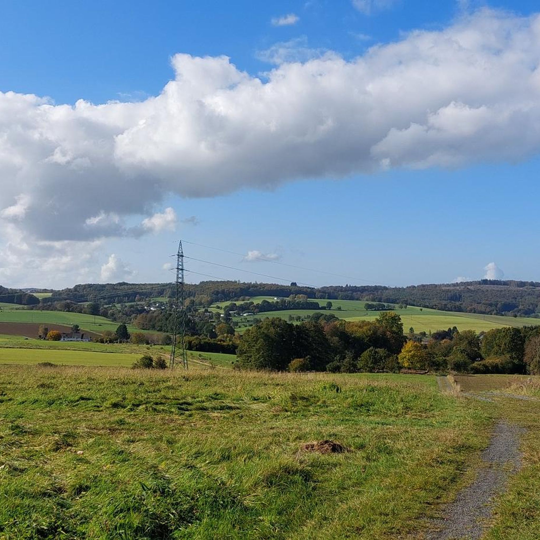
Gravel biking around Oberirsen offers diverse landscapes within the low mountain range scenery of the Westerwald-Sieg region. The area is characterized by rolling hills, expansive meadows, and dense forests, providing varied terrain for exploration. Riders can navigate scenic river valleys, including those along the Sieg River, which contribute to a dynamic backdrop for gravel biking. This varied environment creates numerous opportunities for mixed-surface cycling.
Best gravel bike trails around Oberirsen
- The most popular gravel bike trail is Dreifelder Pond –…
Last updated: July 2, 2026
5.0
(1)
8
riders
78.1km
04:59
1,210m
1,210m
Hard gravel ride. Very good fitness required. Mostly paved surfaces. Suitable for all skill levels.
4.4
(5)
7
riders
Moderate gravel ride. Good fitness required. Mostly paved surfaces. Suitable for all skill levels.

Sign up for free
3
riders
37.3km
02:26
530m
530m
Hard gravel ride. Very good fitness required. Mostly paved surfaces. Suitable for all skill levels.
5.0
(1)
2
riders
22.4km
01:27
240m
240m
Moderate gravel ride. Good fitness required. Mostly paved surfaces. Suitable for all skill levels.
2
riders
26.8km
01:58
430m
430m
Moderate gravel ride. Good fitness required. Mostly paved surfaces. Suitable for all skill levels.
Get access to more routes and recommendations from other explorers.
Sign up for free
Already have an account?
Our route recommendations are based on thousands of hikes, rides, and runs completed by other people on komoot.
Start today with a free account
Your next adventure awaits.
Login or Signup
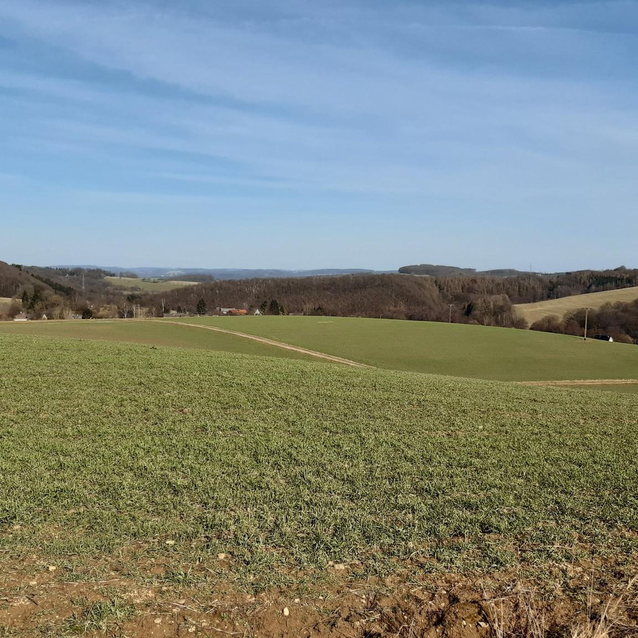
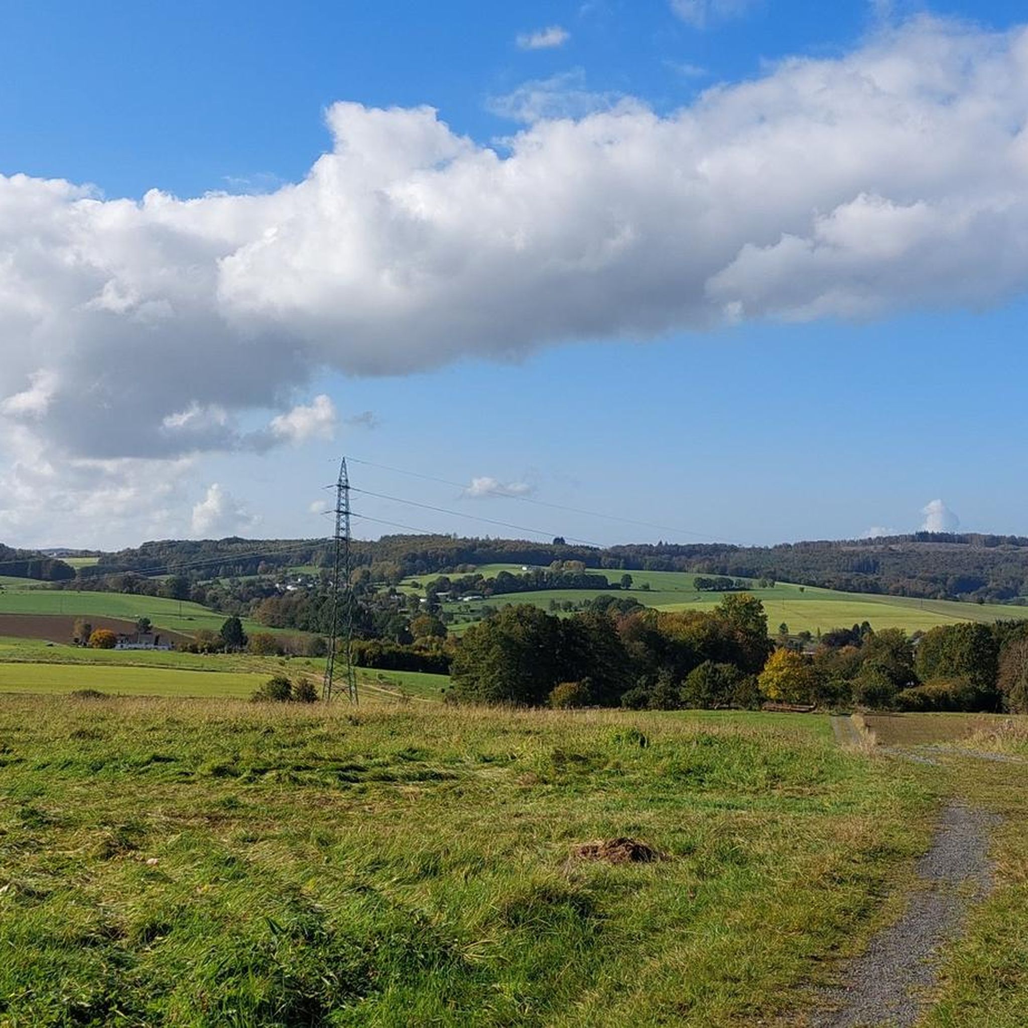
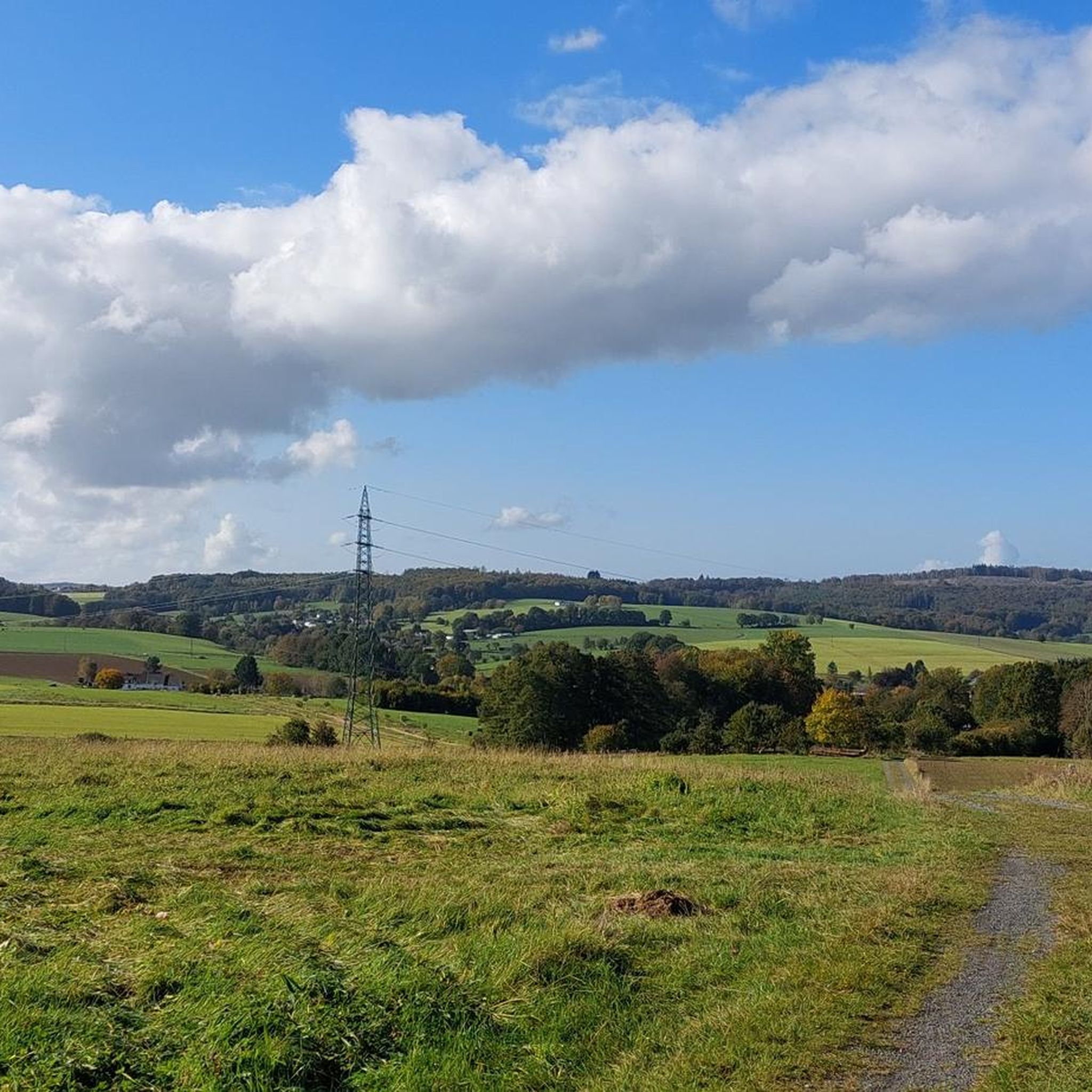
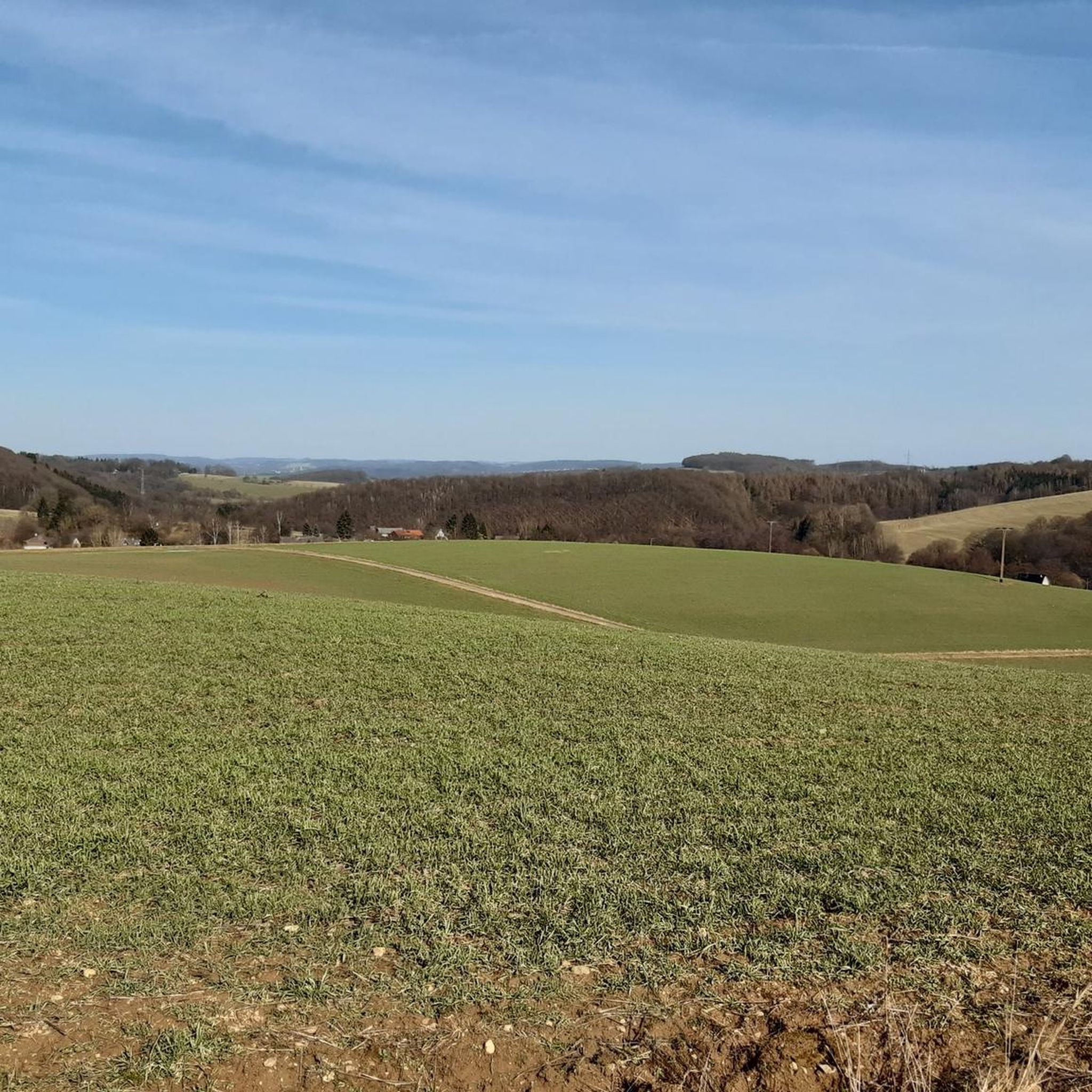
Tips from the Community

Beautiful spot for a rest and at the same time listen to the calming splashing of the water.
0
0

Unless you suffer from a fear of heights or depths. Then this bridge seems incredibly long...
0
0

The road takes you past the RWE power plant
0
0


A small highlight in Rhineland-Palatinate. The almost continuous cycle path is really great.
0
0

Beautiful old trees 🌴
0
0
Frequently Asked Questions
How many gravel bike trails are available around Oberirsen?
There are over 25 gravel bike trails available around Oberirsen, offering diverse landscapes within the low mountain range scenery of Rhineland-Palatinate. These routes cater to various preferences, from moderate to difficult challenges.
Are there gravel bike trails suitable for beginners or families in Oberirsen?
While many routes around Oberirsen are classified as moderate to difficult, the region's varied terrain means some sections are more accessible. For a moderate option that could be suitable for those looking for a less strenuous ride, consider the Unkelmühle run-of-river hydroelectric power station – Stromberg Oak Grove loop from Mühleip, which is 15 miles long and leads through varied landscapes.
What are some options for longer gravel bike rides near Oberirsen?
For those seeking longer adventures, the region offers several extensive routes. The longest is the Dreifelder Pond – Dreifelder Pond loop from Au (Sieg), spanning 48.4 miles (77.9 km). Another significant option is the Wied Valley – Wied Suspension Bridge loop from Almersbach, which covers 31.3 miles (50.4 km) and offers scenic stream landscapes.
What kind of landscapes can I expect to see on gravel bike trails around Oberirsen?
Gravel biking around Oberirsen is characterized by its captivating low mountain range scenery. You'll encounter rolling hills, expansive meadows, and dense forests. The routes often navigate scenic river valleys, including those along the Sieg River, and feature unique geological formations like basalt columns. This varied environment provides a dynamic and picturesque backdrop for your rides.
Are there any circular gravel bike routes available?
Yes, many of the gravel bike routes around Oberirsen are designed as loops, allowing you to start and end at the same point. Examples include the Dreifelder Pond – Dreifelder Pond loop from Au (Sieg) and the Wied Valley – Wied Suspension Bridge loop from Almersbach, both offering comprehensive circular experiences.
What are the best times of year for gravel biking in Oberirsen?
The best seasons for exploring Oberirsen's outdoors, including gravel biking, are spring and autumn. During these times, the landscapes are vibrant with new growth or rich fall colors, and temperatures are generally mild and pleasant for riding.
What interesting sights or landmarks can I discover along the gravel bike trails?
Beyond natural beauty, the area offers several points of interest. You might encounter historical sites like the Windeck Castle Ruins. Nature lovers can look for the impressive Sieg Waterfall (Siegfall), which is noted as being good for biking, or enjoy panoramic views from spots like the View of the Nister Valley from Weltende.
Are there any places to stop for a rest or shelter along the routes?
Yes, the region has several huts and rest areas. You might find shelters like the one on the Dreisel Ascent Trail, or the Moss Hut. The Forsthaus Hüppelröttchen Rest Area also provides a place to pause during your ride.
What do other gravel bikers enjoy most about riding in Oberirsen?
The komoot community highly rates the gravel biking experience in Oberirsen, with an average score of 4.7 stars from more than 10 reviews. Riders often praise the diverse landscapes, the mix of ascents and descents, and the serene environment of the forests and river valleys.
Is it possible to access gravel bike trails in Oberirsen using public transport?
While specific public transport connections directly to trailheads in Oberirsen are not detailed, the region is part of a broader network. Many routes start from towns or villages that may have public transport links, such as Au (Sieg) for the Dreifelder Pond loop. It's advisable to check local bus or train schedules for connections to your chosen starting point.
Where can I find parking for gravel biking trails in Oberirsen?
Parking availability often depends on the specific trailhead you choose. Many routes start from villages or designated parking areas near natural attractions. For example, if you plan to ride the Leuscheider Heide – Moss Hut loop, you would typically look for parking in or around Obenroth. It's recommended to check the starting point of your chosen route for specific parking information.
Are there any challenging routes for advanced gravel bikers?
Yes, Oberirsen offers several challenging routes for experienced gravel bikers. Many of the trails are classified as 'difficult,' featuring significant elevation gains and varied terrain. The Dreifelder Pond – Dreifelder Pond loop from Au (Sieg), for instance, is a difficult 48.4-mile route with over 1200 meters of elevation gain, providing a substantial challenge.
Most popular attractions around Oberirsen

Get inspired with the komoot mobile app


Explore more
Browse the best Gravel rides in other regions.
