The best gravel rides around Freiensteinau
4.7
(23)
87
riders
20
rides
Gravel biking around Freiensteinau offers routes through a landscape shaped by the Vogelsberg Mountains, Europe's largest extinct volcanic area. This region features diverse terrain with varied elevation changes, expansive forests, and a mix of paved and unpaved surfaces. The area includes rolling hills and reservoirs, providing a network of paths suitable for gravel cycling. The landscape is characterized by basalt formations, gentle hills, and river valleys within the Naturpark Vulkanregion Vogelsberg.
Best gravel bike trails around Freiensteinau
- The most popular…
Last updated: October 20, 2026
5.0
(1)
8
riders
35.9km
02:44
430m
430m
Moderate gravel ride. Good fitness required. Mostly paved surfaces. Suitable for all skill levels.
5.0
(2)
3
riders
28.1km
01:50
350m
350m
Moderate gravel ride. Good fitness required. Mostly paved surfaces. Suitable for all skill levels.

4
riders
33.7km
02:12
500m
500m
Hard gravel ride. Very good fitness required. You may need to push your bike for some segments of this route.
8
riders
52.7km
03:22
600m
600m
Hard gravel ride. Very good fitness required. Mostly paved surfaces. Suitable for all skill levels.
2
riders
27.7km
01:43
420m
420m
Moderate gravel ride. Good fitness required. Mostly paved surfaces. Suitable for all skill levels.
Get access to more routes and recommendations from other explorers.
Already have an account?
Our route recommendations are based on thousands of hikes, rides, and runs completed by other people on komoot.
Start today with a free account
Your next adventure awaits.
Popular around Freiensteinau
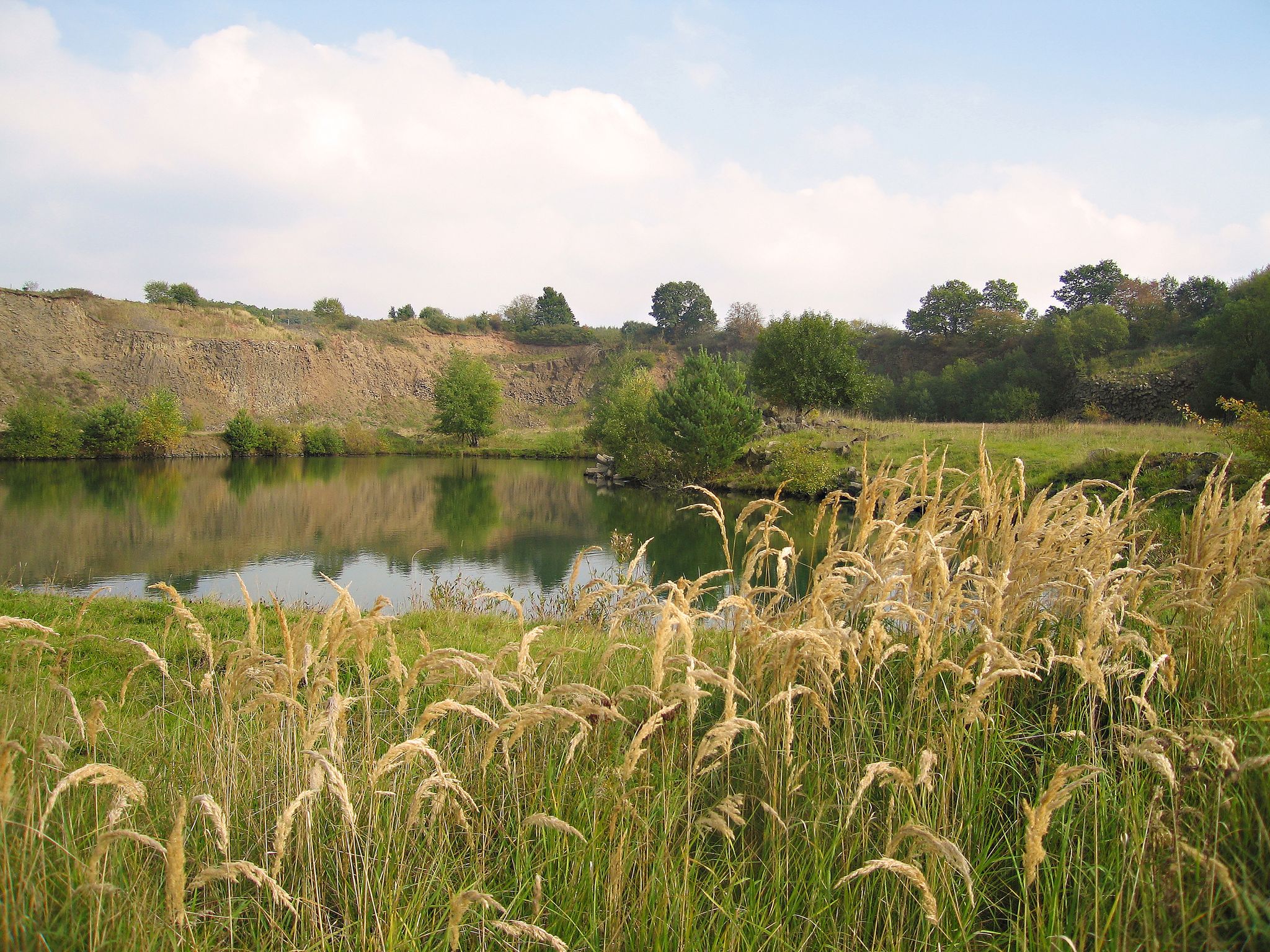
Geotours in the Vogelsberg Volcanic Region
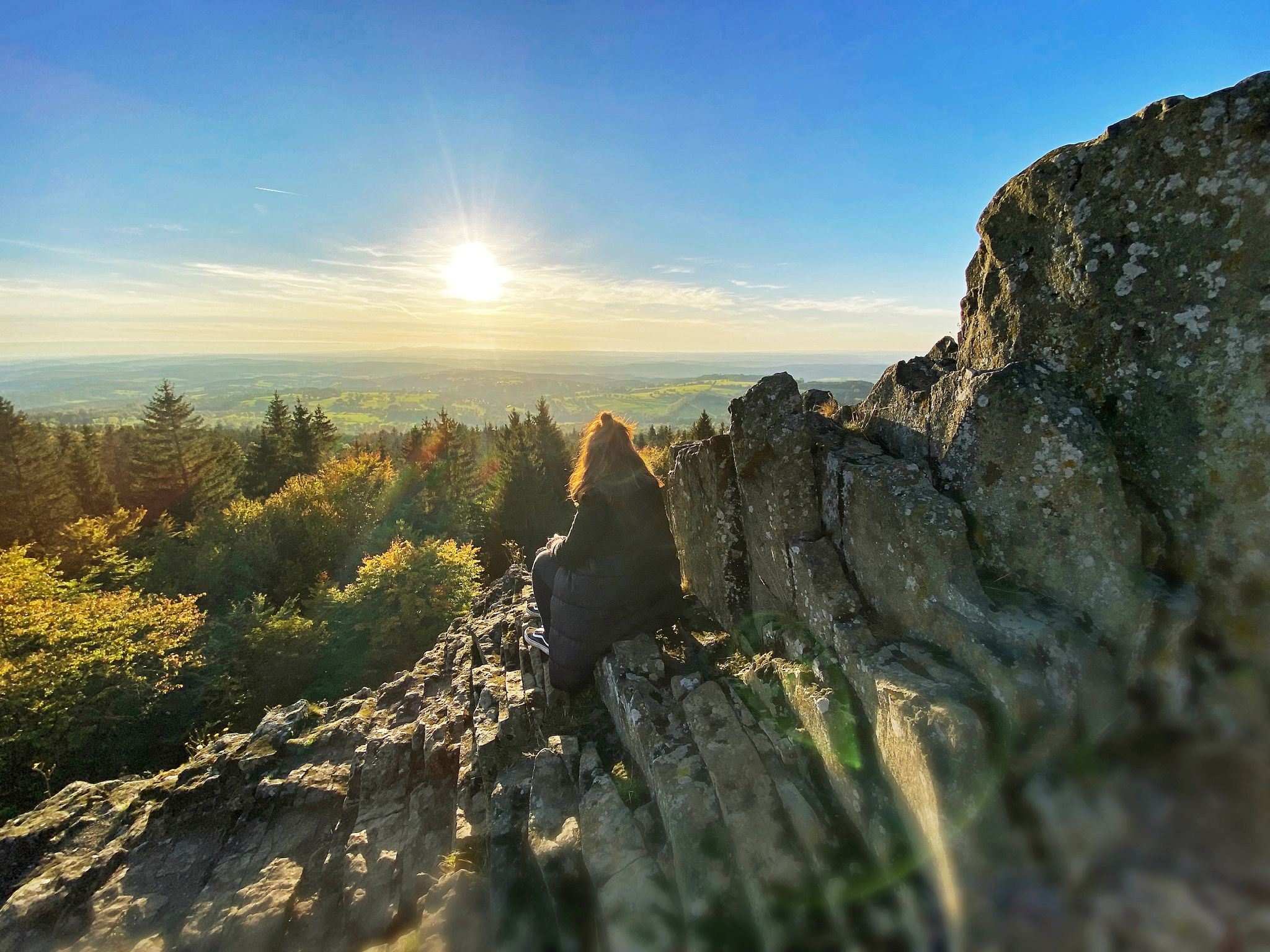
Where trails give you strength: Your hiking getaway in Vogelsberg
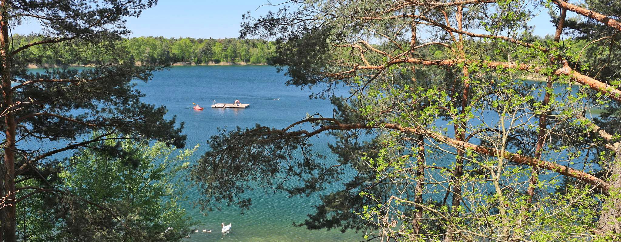
The most popular swimming lakes in Hesse
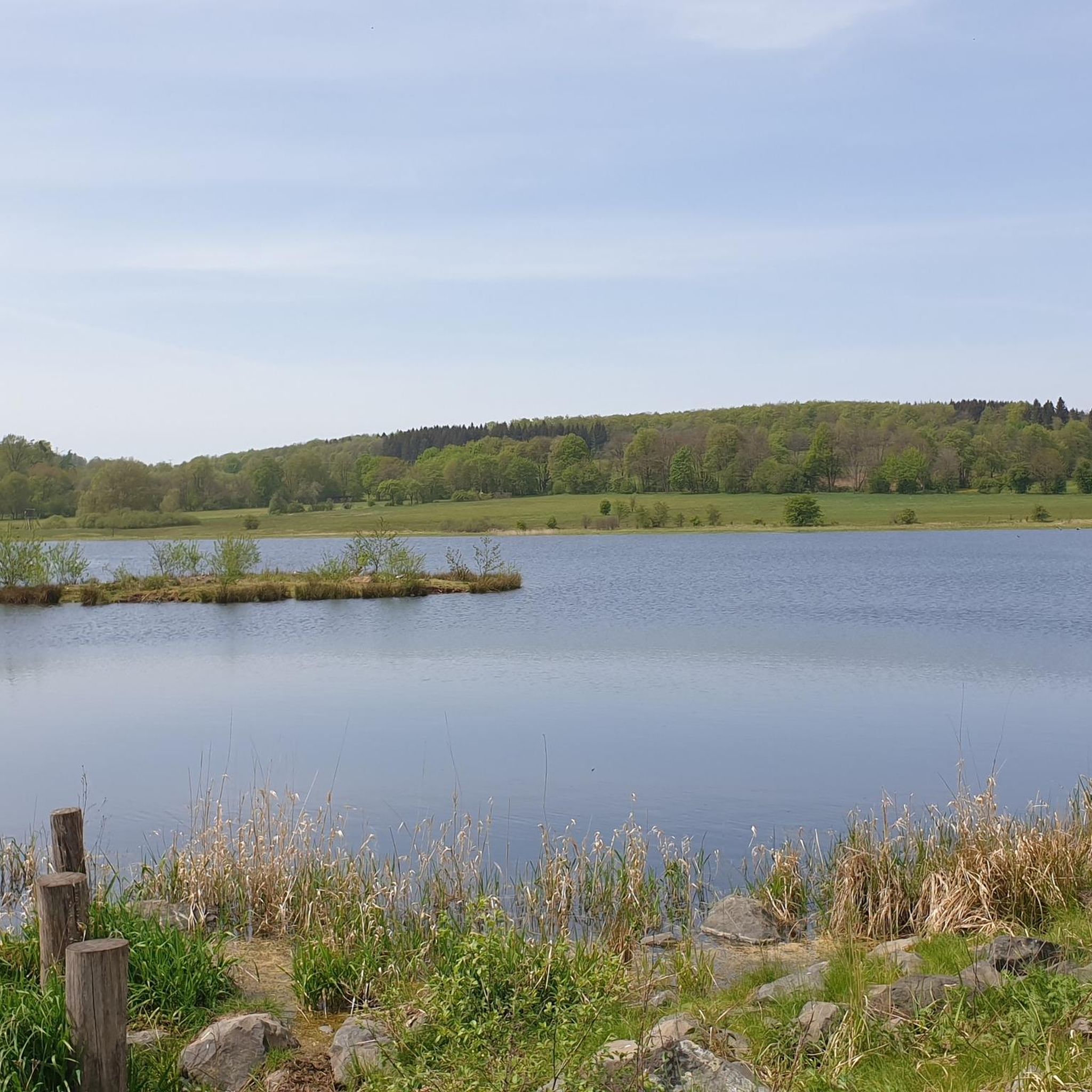
Hiking around Freiensteinau
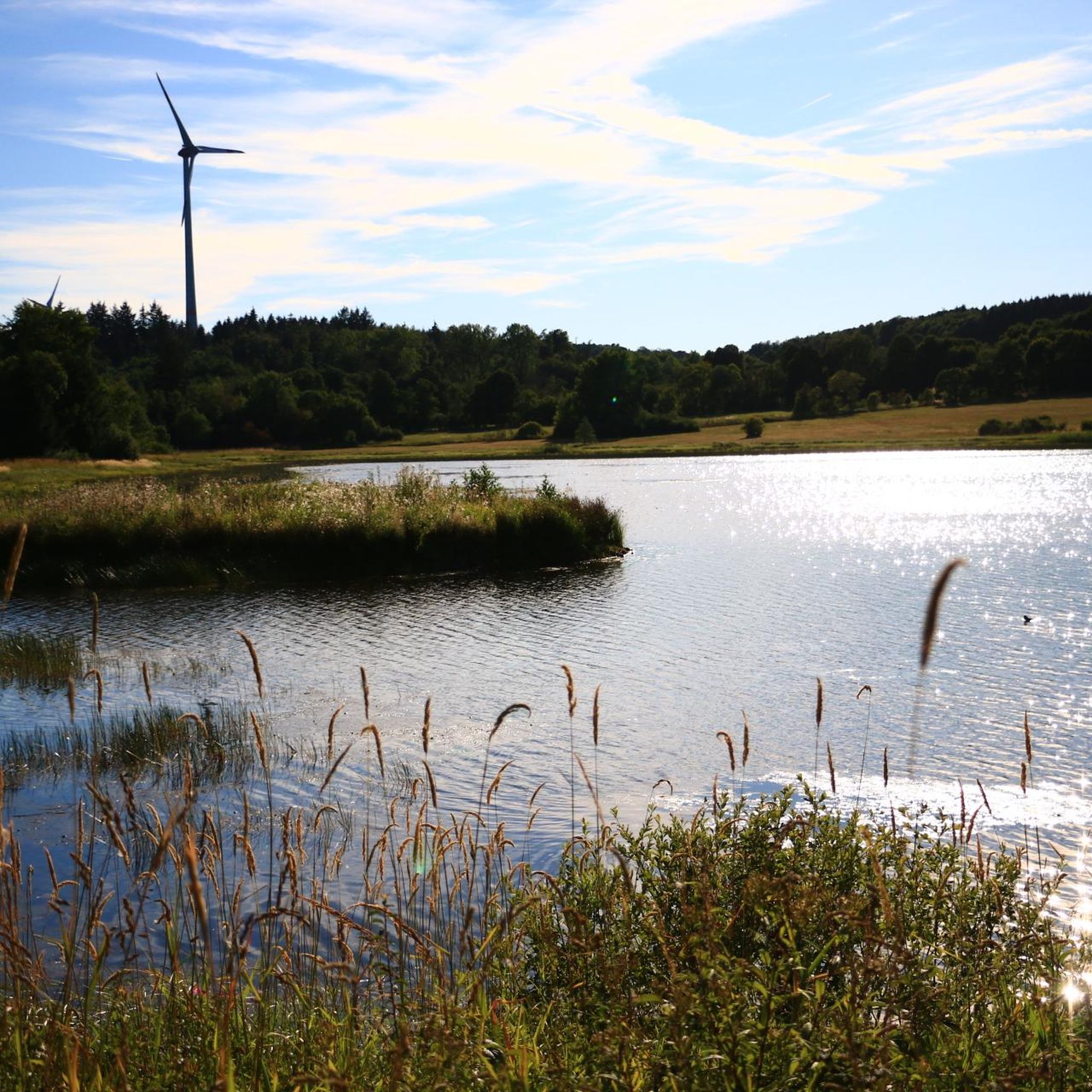
Cycling around Freiensteinau
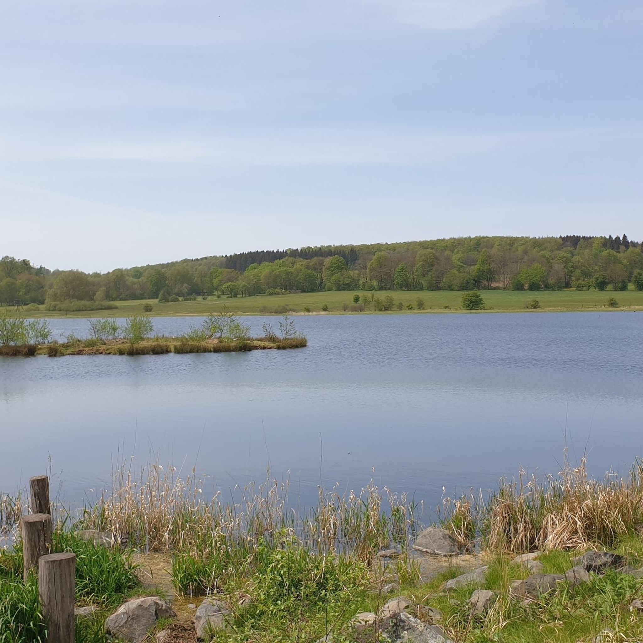
MTB Trails around Freiensteinau
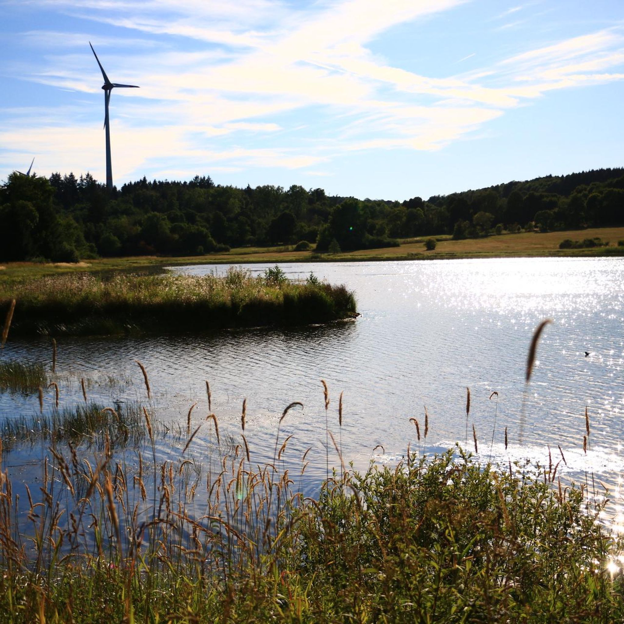
Running Trails around Freiensteinau
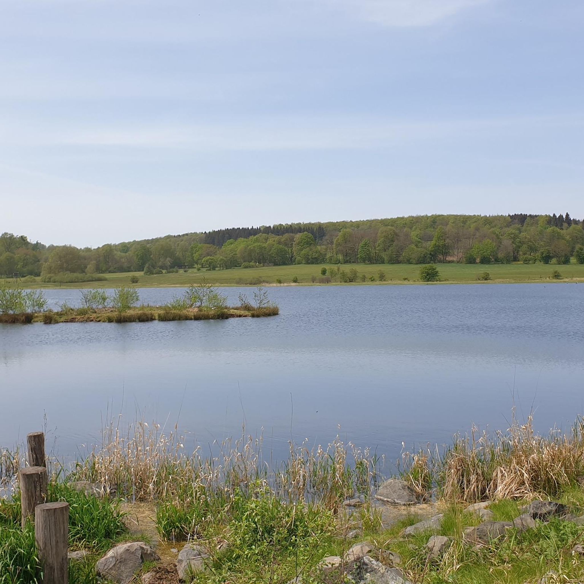
Road Cycling Routes around Freiensteinau


Tips from the Community

The Kaliberg (also called Monte Kali or Kalimandscharo) is a huge salt heap 🏔️✨, mainly consisting of rock salt and, with a height of about 190 meters and an area of 90 hectares, is one of the largest heaps of its kind in Germany. Around 125 million tons of residues from potash mining are stored on the plateau.
0
0
The Kaliberg (also called Monte Kali or Kalimandscharo) is a huge salt heap 🏔️✨, mainly consisting of rock salt and, with a height of about 190 meters and an area of 90 hectares, is one of the largest heaps of its kind in Germany. Around 125 million tons of residues from potash mining are stored on the plateau.
0
0


You can also comfortably take the bus up and bring your bike.
1
0

Very nice resting place. Ideal for a stopover. Bench with table including trash cans. Also a panoramic lounge bench.
0
0

The pond is located directly on the forest path.
0
0

Visible from afar, Monte Kali – the spoil heap of the Neuhof potash mine – rises as an imposing landmark in the landscape. It now contains more than 125 million tons of spoil. From every direction, the hill makes for a fantastic photo opportunity. https://www.kpluss.com/de-de/ueber-ks/standorte/europa/neuhof-ellers/monte-kali/index.html https://www.kpluss.com/de-de/ueber-ks/standorte/europa/neuhof-ellers/monte-kali/index.html
1
0
Visible from afar, Monte Kali – the spoil heap of the Neuhof potash mine – rises as an imposing landmark in the landscape. It now contains more than 125 million tons of spoil. From every direction, the hill makes for a fantastic photo opportunity. https://www.kpluss.com/de-de/ueber-ks/standorte/europa/neuhof-ellers/monte-kali/index.html https://www.kpluss.com/de-de/ueber-ks/standorte/europa/neuhof-ellers/monte-kali/index.html
1
0
Frequently Asked Questions
What is the general difficulty level of gravel biking trails around Freiensteinau?
The gravel trails around Freiensteinau offer a varied experience. While there are 2 easy routes, the majority are moderate (12 routes) or difficult (21 routes), featuring rolling hills and some significant climbs. This mix ensures options for different skill levels, from those seeking a relaxed ride to experienced cyclists looking for a challenge.
Are there any beginner-friendly gravel bike trails in the Freiensteinau area?
Yes, there are a couple of routes suitable for beginners. These trails typically have gentler gradients and less technical terrain, making them ideal for those new to gravel biking or looking for a more relaxed ride. Look for routes classified as 'easy' to start your adventure.
Can I find long-distance gravel routes near Freiensteinau?
Absolutely. For those seeking a longer ride, the region offers several options. A notable long-distance route is the Bike path near Eichenzell – Löschenrod–Kerzell Cycle Path loop from Flieden, which spans 44.9 miles (72.1 km) and takes approximately 5 hours to complete, leading through varied rural landscapes.
Are there circular gravel bike routes available around Freiensteinau?
Many of the gravel routes in Freiensteinau are designed as loops, allowing you to start and finish at the same point. For example, the Nonnenröder Ponds – Gieseler Forest loop from Giesel offers a moderate 35.8 km circular ride through forests and past ponds.
What kind of natural attractions or landmarks can I see along the gravel bike trails?
The trails often pass by beautiful natural and historical sights. You can expect views of the Kinzig Reservoir, as well as other bodies of water like the Rothenbach Pond. Historical structures such as Historic Hartmannshain Bridge and various forest bridges are also points of interest.
Are there any routes that offer scenic viewpoints?
Yes, several routes provide excellent viewpoints, especially those that traverse higher elevations or skirt the reservoirs. The View of the Kinzig Reservoir – Kinzigsee loop from Romsthal is specifically known for offering additional perspectives of the Kinzig Reservoir and its surrounding natural areas.
What is the best time of year for gravel biking in Freiensteinau?
Spring and autumn generally offer the most pleasant conditions for gravel biking in Freiensteinau, with mild temperatures and vibrant scenery. Summer can also be enjoyable, though it's wise to start earlier in the day to avoid the midday heat. Winter riding is possible, but be prepared for potentially muddy or icy conditions, especially on unpaved tracks.
Are there options for advanced gravel bikers looking for a challenge?
Experienced gravel bikers will find plenty of challenging routes. With 21 difficult trails, you can expect more significant elevation gains and potentially more technical sections. The View of Eisenbach Castle – View of Herbstein loop from Grebenhain is a demanding 60.2 km route with over 600 meters of elevation gain, perfect for advanced riders.
What do other gravel bikers say about the trails in Freiensteinau?
The gravel biking experience in Freiensteinau is highly regarded by the komoot community, with an average rating of 4.4 out of 5 stars from over 13 reviews. Riders often praise the diverse terrain, the scenic views of the Kinzig Reservoir, and the well-maintained forest paths that characterize the region.
Are there any places to stop for refreshments or shelter along the routes?
While specific cafe stops vary by route, the region does have several huts and shelters that can provide a break. Highlights include the Walter Kress Hut at Ober-Mooser Pond and the Hiking Hut in the Vogelsberg Mountains, which can be convenient spots for a rest.
How many gravel bike routes are available in the Freiensteinau area?
There are over 35 gravel bike routes documented around Freiensteinau on komoot, offering a wide range of options for different preferences and skill levels. This includes a mix of easy, moderate, and difficult trails.
Most popular routes around Freiensteinau
Most popular attractions around Freiensteinau

Get inspired with the komoot mobile app


Explore more
Browse the best Gravel rides in other regions.
