The best gravel rides around Sulzbach an der Murr
4.2
(21)
135
riders
53
rides
Gravel biking around Sulzbach an der Murr is characterized by its location within the Swabian-Franconian Forest Nature Park. The region features a diverse landscape of rolling hills, dense forests covering over 50% of the area, and the scenic Murr Valley. Elevations range from approximately 259 to 585 meters above sea level, providing a mix of climbs and descents suitable for varied gravel routes. Numerous streams and artificially created lakes, such as Aichstrutsee and Ebnisee, are integrated into this natural environment.
…Last updated: July 11, 2026
4.8
(4)
33
riders
61.2km
04:34
850m
850m
Hard gravel ride. Very good fitness required. Mostly paved surfaces. Suitable for all skill levels.
4.3
(3)
23
riders
40.1km
02:27
530m
530m
Hard gravel ride. Very good fitness required. Mostly paved surfaces. Suitable for all skill levels.

Sign up for free
19
riders
33.9km
02:03
440m
440m
Moderate gravel ride. Good fitness required. Mostly paved surfaces. Suitable for all skill levels.
7
riders
Hard gravel ride. Very good fitness required. Mostly paved surfaces. Suitable for all skill levels.
5.0
(2)
7
riders
41.4km
02:44
460m
460m
Hard gravel ride. Very good fitness required. Mostly paved surfaces. Suitable for all skill levels.
Get access to more routes and recommendations from other explorers.
Sign up for free
Already have an account?
Our route recommendations are based on thousands of hikes, rides, and runs completed by other people on komoot.
Start today with a free account
Your next adventure awaits.
Login or Signup
Popular around Sulzbach an der Murr
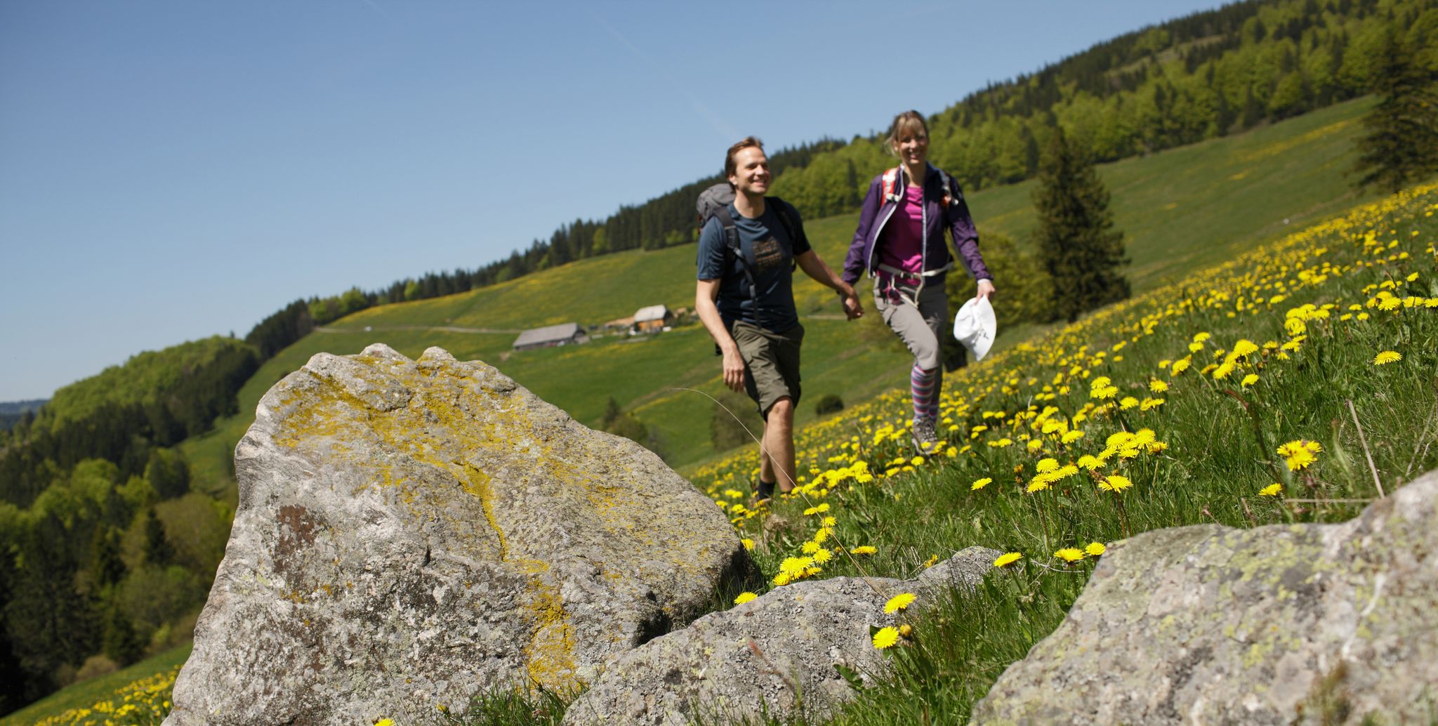
Spring in Germany’s Southwest – where hiking is best!
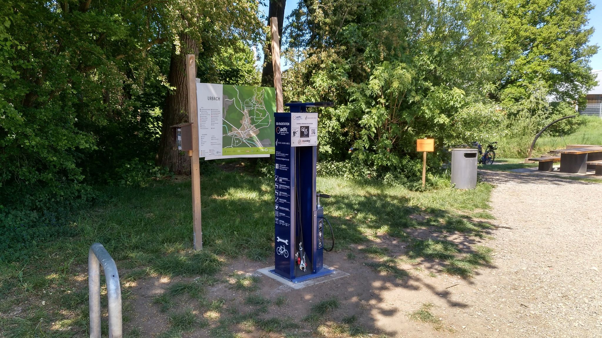
Bicycle service stations in Rems-Murr-Kreis
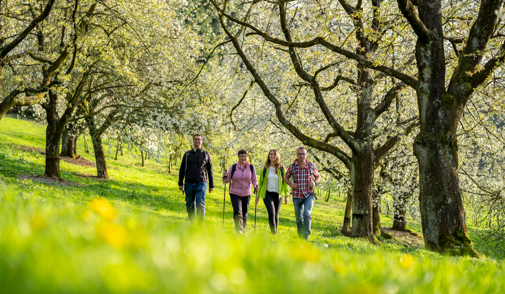
Frühlingserwachen im Südwesten – Farbenfroh wandern in Baden-Württemberg
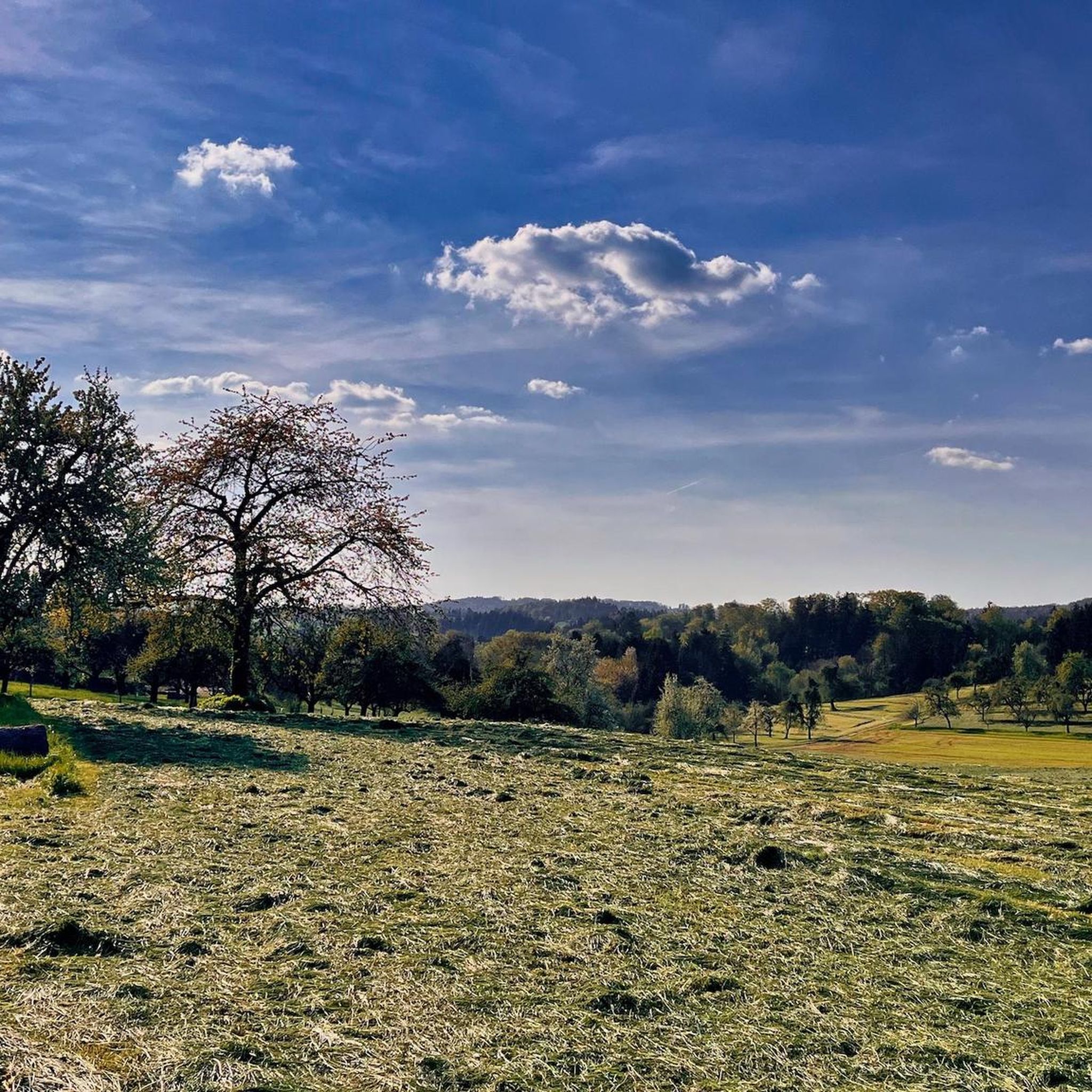
Hiking around Sulzbach an der Murr
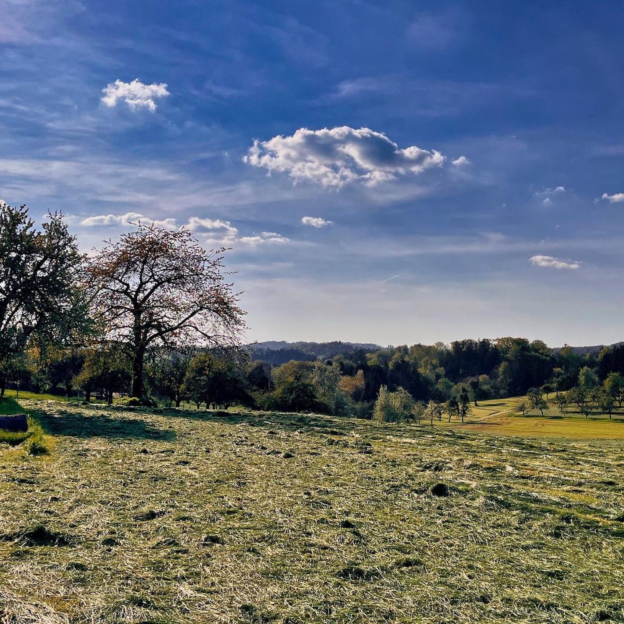
MTB Trails around Sulzbach an der Murr
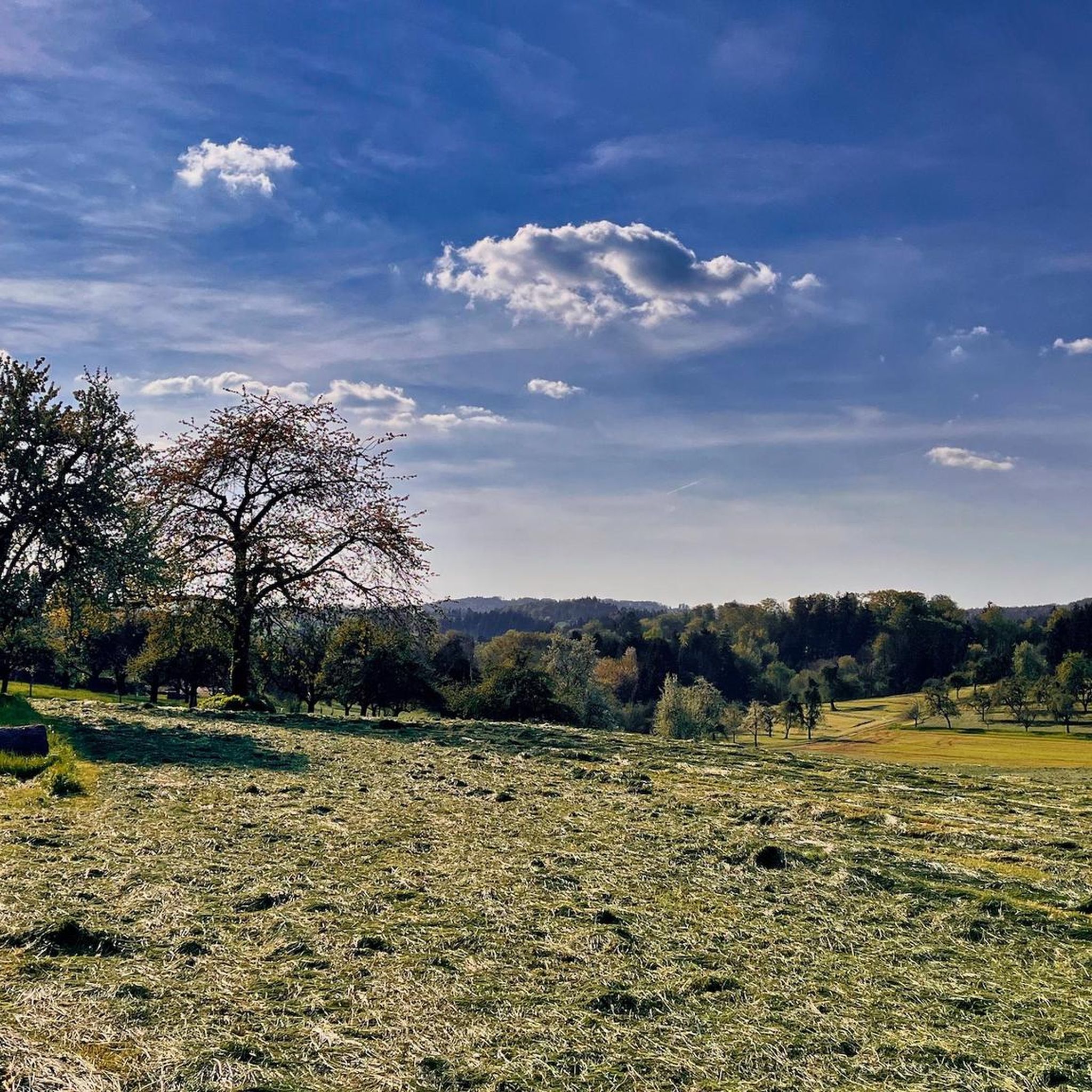
Cycling around Sulzbach an der Murr
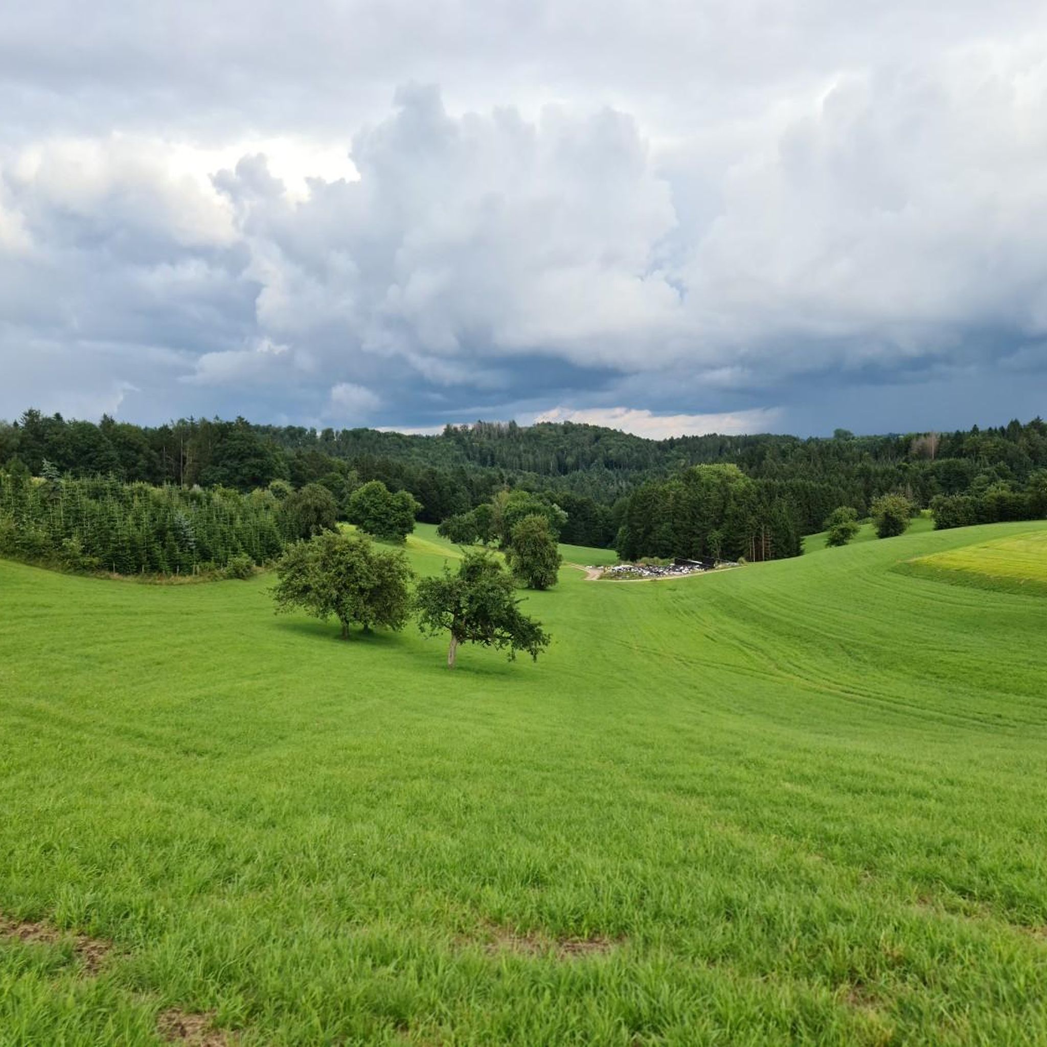
Road Cycling Routes around Sulzbach an der Murr
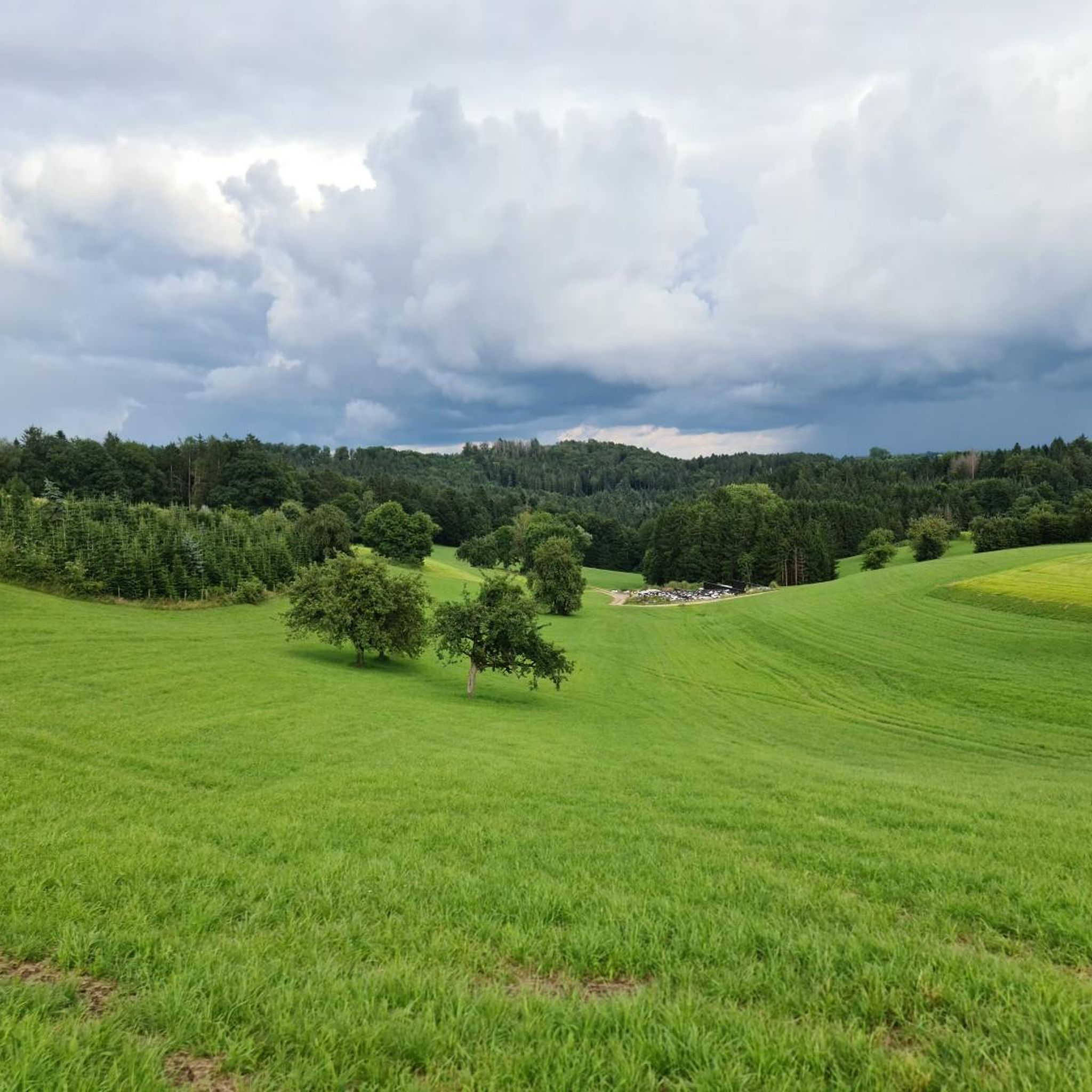
Running Trails around Sulzbach an der Murr
Mountain Hikes around Sulzbach an der Murr
Other adventures around Sulzbach an der Murr


Tips from the Community

Great path along the river. The beavers were quite active here.
0
0

Beautiful view of Reichenberg Castle
0
0

Well-maintained example of a former driftwood lake with information and seating, not far from the Eschelhof hiking lodge.
0
0

Backnang, the "Gateway to the Swabian Forest," offers a charming blend of historic half-timbered architecture, cultural attractions, and nature experiences in the immediate vicinity. Historical Highlights in the Old Town Backnang Town Tower: The city's landmark, visible from afar, was built in 1614 above the Gothic chancel of the former St. Michael's Church. Inside, there is an exhibition on the city's history. ...
0
0
The hilltop castle was built between 1230 and 1231 by Margrave Hermann V of Baden, who, like his brother, was a loyal supporter of the Hohenstaufen Emperor Frederick II. It is said to have been closely related to Ebersberg Castle, built at the same time in what is now the Auenwald forest, and the upper castle in Besigheim. The dimensions, furnishings, and existing stonemasonry marks of the three castles are identical. In the Middle Ages, administrative centers were usually located in castles. Reichenberg Castle, for example, was also a so-called ministerial castle. The knights Wolfram and Berthold von Reichenberg are mentioned as early as 1230. Reichenberg was therefore the official seat and thus also the administrative center of the surrounding areas. From 1293 onwards, the Sturmfeder von Oppenweiler family resided in the castle as ministerials. In the 19th century, the castle was the seat of the forestry office of the Kingdom of Württemberg, among others. Karl von Schiller, a son of Friedrich Schiller, worked there as a district forester from 1822 to 1833. In 1888, the castle was leased to the Samaritan Foundation, which operated a social facility there to care for people with disabilities. In 1929, the Samaritan Foundation acquired Grafeneck Castle near Gomadingen and relocated the home there. In 1930, the castle was leased to the Evangelical Society of Stuttgart, which operated a shelter for Stuttgart prostitutes there until the 1950s, as prostitution had increased sharply in Stuttgart due to the general hardship after the First World War. The Evangelical Society of Stuttgart subsequently converted the castle back into a residential home for people with disabilities.
0
0

Little traffic, safe fast driving possible
0
0
Frequently Asked Questions
How many gravel bike trails are available around Sulzbach an der Murr?
There are over 120 gravel bike trails available around Sulzbach an der Murr, offering a wide range of options for different skill levels. You'll find everything from easy rides to more challenging routes through the Swabian-Franconian Forest Nature Park.
What kind of terrain and difficulty can I expect on gravel bike routes in Sulzbach an der Murr?
The terrain around Sulzbach an der Murr is diverse, featuring rolling hills, dense forests, and the scenic Murr Valley. Elevations range from approximately 259 to 585 meters above sea level, providing a mix of climbs and descents. You can find routes categorized as easy (2 options), moderate (over 40 options), and difficult (over 80 options), catering to various abilities.
Are there any family-friendly gravel bike routes in the area?
Yes, while many routes offer a challenge, there are also easier options suitable for families. For instance, the region's extensive network of paths includes routes through forests and open landscapes that are less demanding. Look for routes marked as 'easy' to find suitable options for a family outing.
What natural features or landmarks can I see along the gravel bike trails?
The trails often lead through the beautiful Swabian-Franconian Forest Nature Park, past numerous streams and artificially created lakes like Aichstrutsee and Ebnisee. You might also encounter the Hohler Stein Erosion Natural Monument or the Gallengrotte. The Juxkopf Tower and Juxkopf Hut – Prinzenstein loop from Oppenweiler (Württ), for example, passes by the Juxkopf Tower, offering great views.
Are there any loop routes for gravel biking in Sulzbach an der Murr?
Yes, many of the gravel bike routes in the region are designed as loops, allowing you to start and end at the same point. A popular example is the Bridge in the Rottal Valley – Weir at Ebersberger Sägemühle loop from Murrhardt, which takes you through the scenic Rottal Valley.
What do other gravel bikers enjoy most about the trails in Sulzbach an der Murr?
The gravel biking routes around Sulzbach an der Murr are highly rated by the komoot community, with an average score of 4.5 stars from over 80 reviews. Riders often praise the varied terrain, the beautiful forested sections, and the well-integrated natural features like streams and lakes. Over 400 gravel bikers have used komoot to explore this region.
What is the best time of year for gravel biking in Sulzbach an der Murr?
The Swabian-Franconian Forest Nature Park is beautiful year-round. Spring and autumn offer pleasant temperatures and vibrant scenery, while summer provides longer daylight hours. Even in winter, routes like the Graveltour Backnang – Winter.Gravel.Sweat are popular, suggesting that with appropriate gear, gravel biking can be enjoyed in cooler months too.
Are there any specific viewpoints or scenic spots along the gravel routes?
Absolutely. The region is known for its picturesque views. The Juxkopf Tower, accessible via routes like the Juxkopf Tower and Juxkopf Hut – Prinzenstein loop from Oppenweiler (Württ), offers significant elevation changes and panoramic vistas. Additionally, the Hörnleberg Lookout Point is a particularly scenic destination for cyclists, providing magnificent views over the Murr Valley.
Can I access gravel bike routes using public transport in Sulzbach an der Murr?
Sulzbach an der Murr is connected to public transport networks, which can facilitate access to various starting points for gravel bike routes. While specific public transport links to trailheads vary, the town's location makes it a convenient base for exploring the surrounding Swabian-Franconian Forest Nature Park by bike.
Are there any bike parks or dedicated trails for more technical riding near Sulzbach an der Murr?
Yes, for those seeking more technical challenges, there are several bike parks and dedicated trails nearby. You can find options like the Fischteich Trail (Trailsurfers) or the Krugeichen Trail, which are part of the broader network of trails in the region and offer features suitable for mountain biking and more advanced gravel riding.
Are dogs allowed on the gravel bike trails around Sulzbach an der Murr?
Many trails within the Swabian-Franconian Forest Nature Park are dog-friendly, especially those that follow wider forest paths and less technical terrain. It's always advisable to keep dogs on a leash, especially in nature reserves or areas with wildlife, and to be mindful of other trail users. Always check local signage for specific restrictions.
Most popular routes around Sulzbach an der Murr
Most popular attractions around Sulzbach an der Murr

Get inspired with the komoot mobile app


Explore more
Browse the best Gravel rides in other regions.
