The best gravel rides around Großheubach
4.3
(28)
140
riders
49
rides
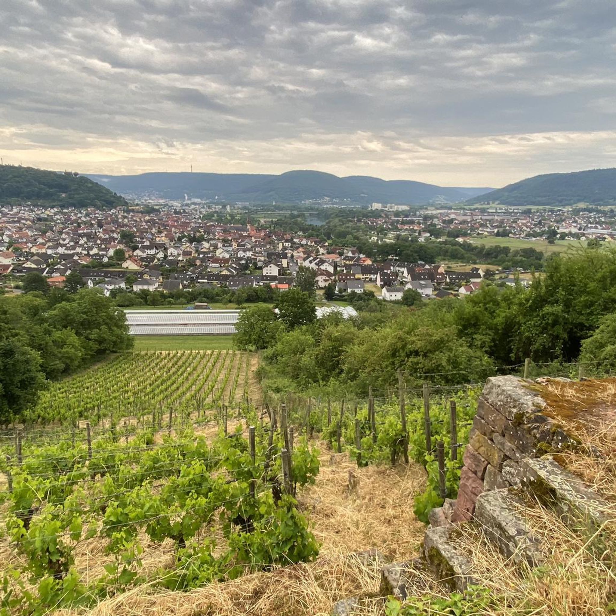
Gravel biking around Großheubach offers a diverse landscape within the scenic Main River valley, bordered by the Spessart and Odenwald low mountain ranges. The region features varied topography, including extensive forests, rolling hills, and picturesque river valleys. Riders can expect a mix of gravel paths, forest roads, and occasional single trails, with alternating descents and climbs. Elevations in the Odenwald range from 200 to over 600 meters, providing both challenging ascents and scenic descents.
Best gravel bike trails around Großheubach
…Last updated: July 2, 2026
4.6
(8)
41
riders
36.3km
02:11
440m
440m
Hard gravel ride. Good fitness required. You may need to push your bike for some segments of this route.
4
riders
76.1km
05:06
1,090m
1,090m
Hard gravel ride. Very good fitness required. You may need to push your bike for some segments of this route.

Sign up for free
4.8
(5)
18
riders
22.3km
01:19
290m
290m
Moderate gravel ride. Good fitness required. Mostly paved surfaces. Suitable for all skill levels.
6
riders
32.7km
02:32
550m
550m
Hard gravel ride. Very good fitness required. You may need to push your bike for some segments of this route.
4.5
(2)
9
riders
38.9km
02:14
390m
390m
Moderate gravel ride. Good fitness required. Mostly paved surfaces. Suitable for all skill levels.
Get access to more routes and recommendations from other explorers.
Sign up for free
Already have an account?
Our route recommendations are based on thousands of hikes, rides, and runs completed by other people on komoot.
Start today with a free account
Your next adventure awaits.
Login or Signup
Popular around Großheubach
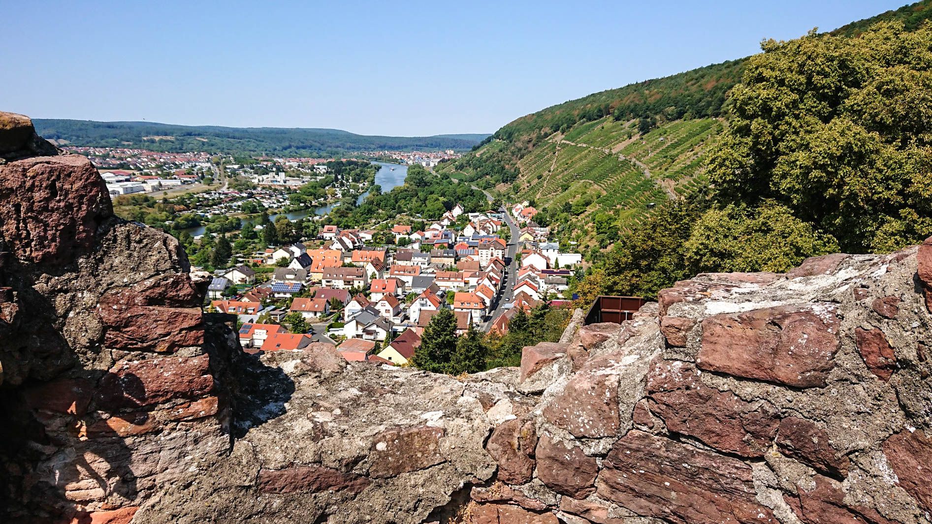
Franconian Red Wine Trail — From vineyards to the Main River
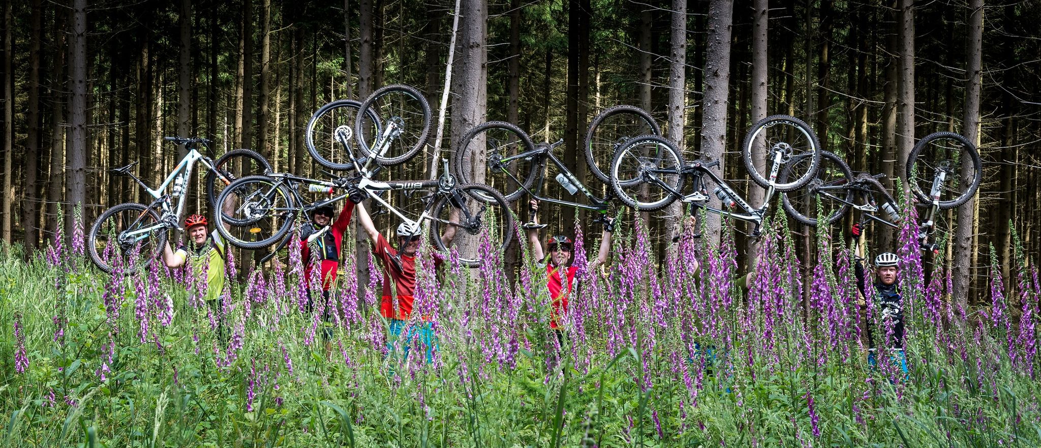
Freerides, Trails & other specials - Mountainbiking in Churfranken
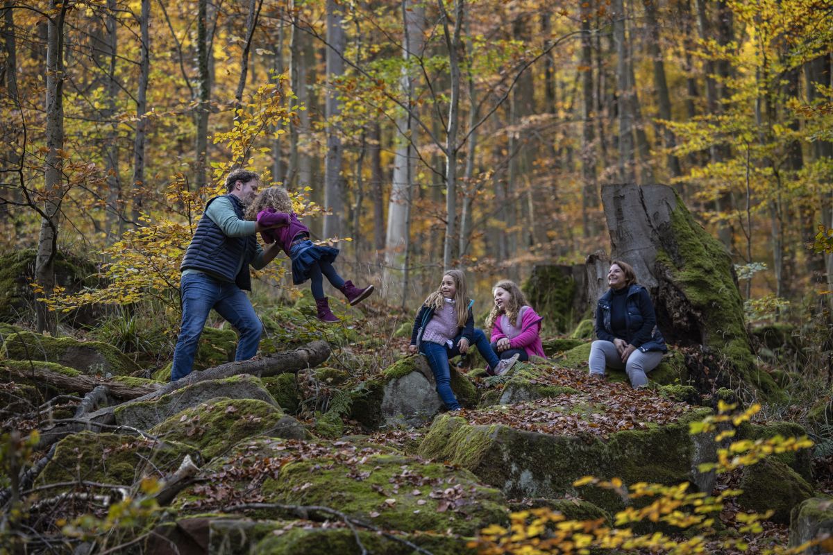
Europäische Kulturwege zwischen Aschaffenburg und Miltenberg am Main
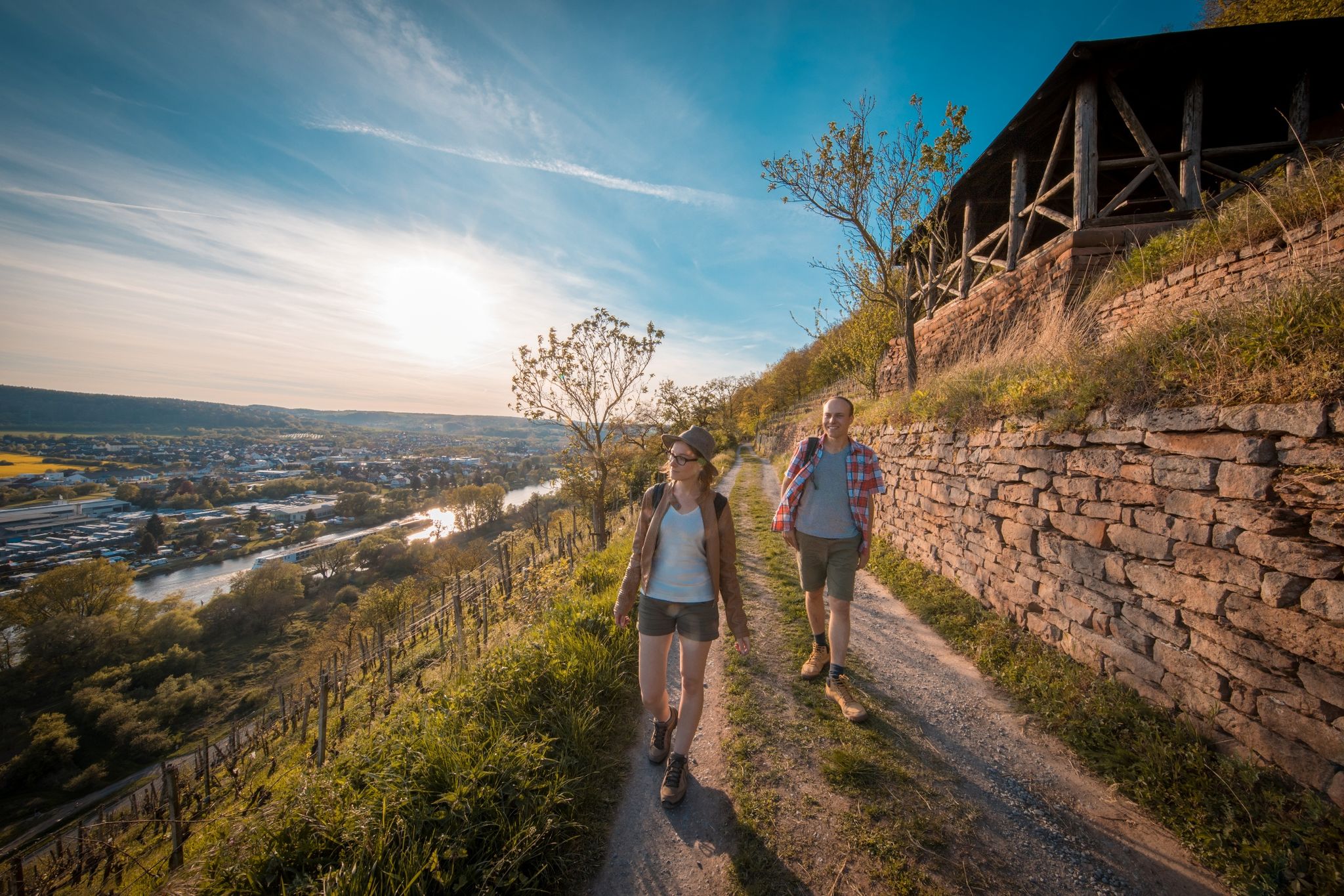
Fränkischer Rotwein Wanderweg – Wandern im Zeichen des Rotweinglases
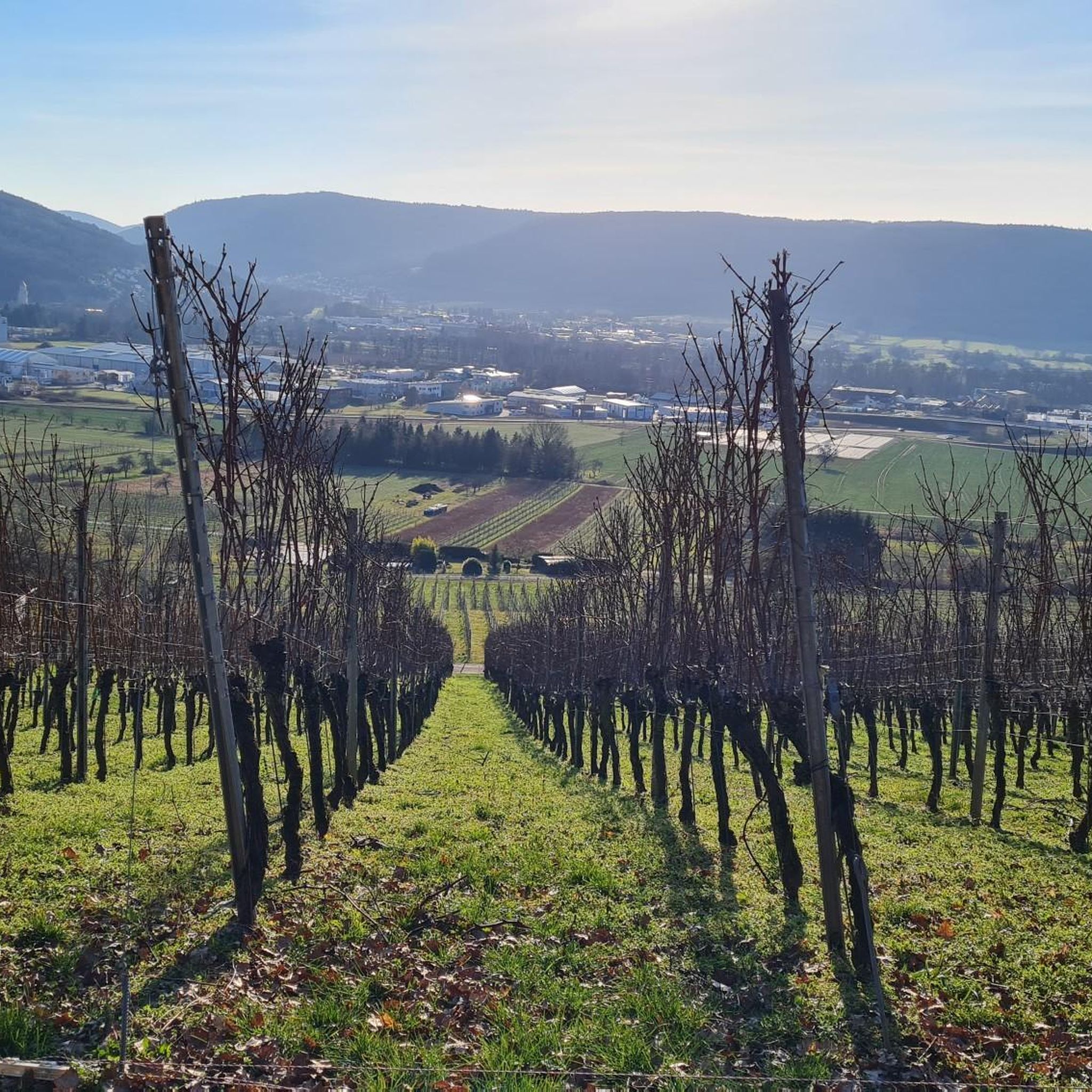
Hiking around Großheubach
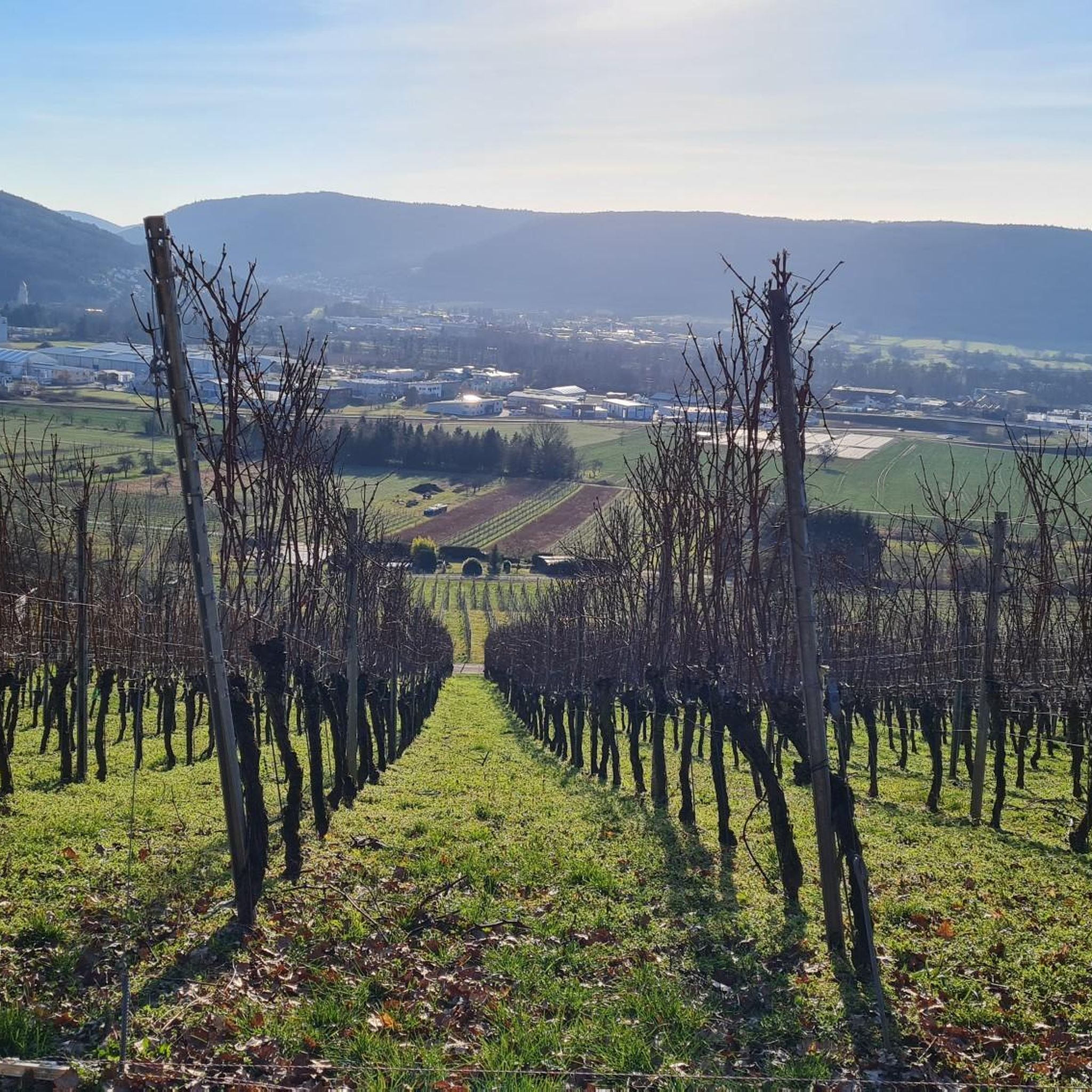
Road Cycling Routes around Großheubach
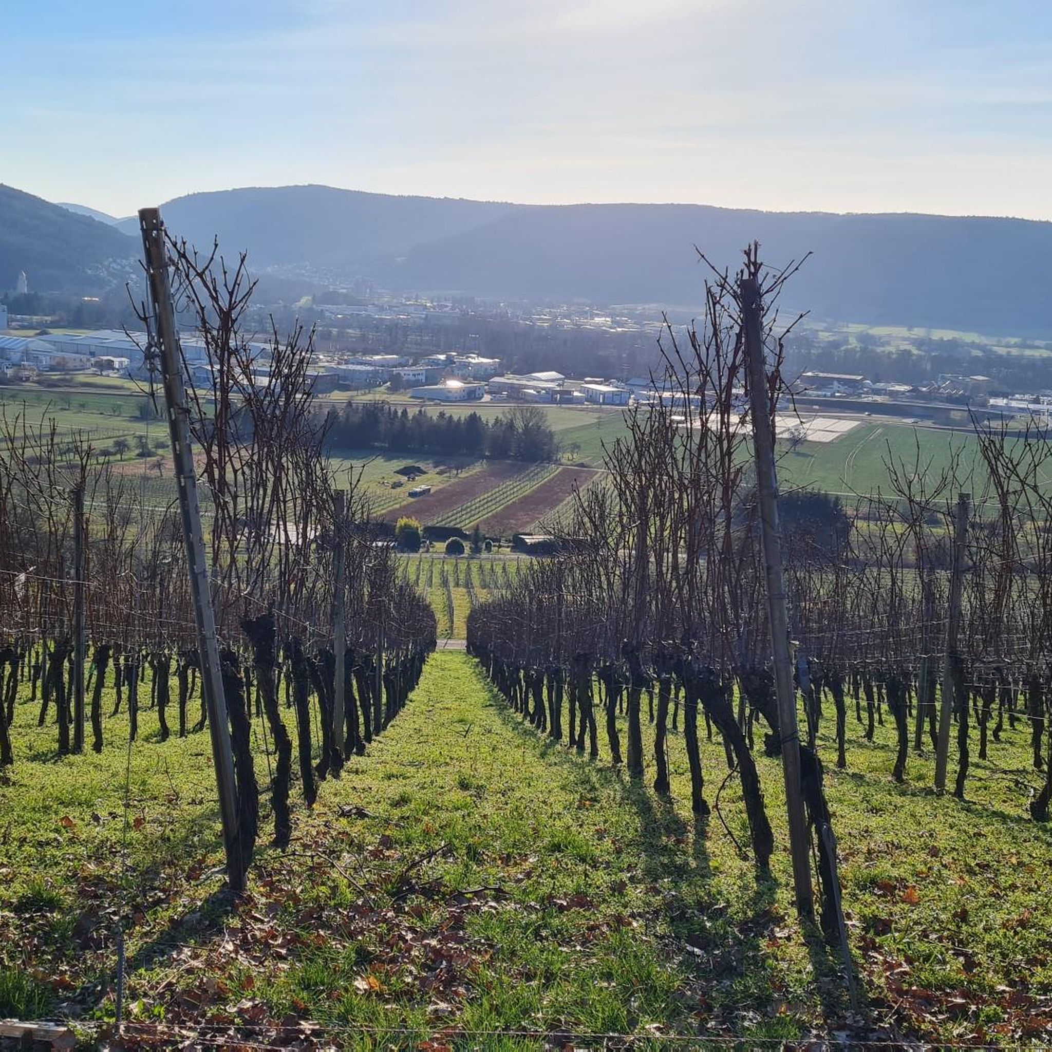
Cycling around Großheubach
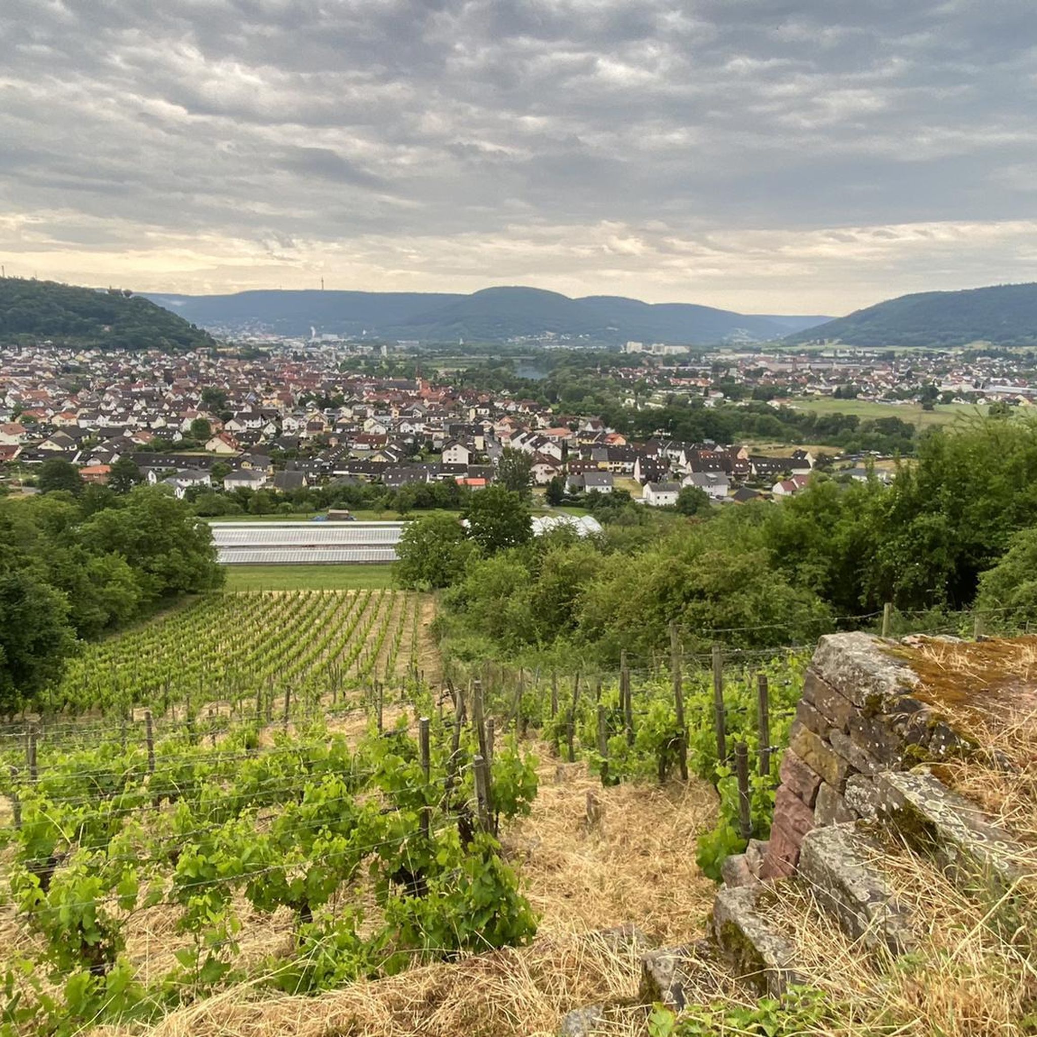
Running Trails around Großheubach
MTB Trails around Großheubach
Other adventures around Großheubach


Tips from the Community

Nice valley for chilling
0
0

Sit down for a drink 🍺 and watch the ships 🛥 on the Main river 🌊.
0
0
Here, you feel like you've stepped back in time.
1
0

Beautiful beer garden in the monastery courtyard.
0
0
Beautiful cycle path along the Mümling.
1
0

A mighty and beautiful bridge, somewhat reminiscent of the old Rhine bridge in Worms.
7
0

Many thanks to those who manage this post and ensure that it's constantly being restocked. "Great idea."
0
0

beautiful building over the Main
3
0
Frequently Asked Questions
How many gravel bike trails are available around Großheubach?
Großheubach and its surrounding regions, including the Odenwald and Spessart, offer a wide selection of routes. You can find over 60 gravel bike trails in the area, catering to various skill levels and preferences.
What kind of terrain should I expect on gravel bike trails around Großheubach?
The region is characterized by a diverse landscape, featuring low mountain ranges, extensive forests, and picturesque river valleys. You'll encounter a mix of gravel paths, forest roads, and some asphalt sections, with occasional single trails. Expect alternating descents and climbs, leading to panoramic views, especially in the Odenwald where elevations range from 200 to over 600 meters.
Are there any family-friendly gravel bike routes near Großheubach?
While many routes in the Odenwald and Spessart involve significant climbs, the Main River valley offers flatter, well-developed cycle paths that are more suitable for families. These routes provide pleasant rides through charming landscapes and villages along the riverbanks.
Where can I find challenging gravel bike routes in the Großheubach area?
For a more challenging experience, the Odenwald region provides routes with significant elevation gain. An example of a demanding route is the Main Riverside Laudenbach loop from Monbrunn, which covers over 41 km with more than 700 meters of ascent.
Are there circular gravel bike routes available around Großheubach?
Yes, many of the gravel bike trails in the region are designed as loops, allowing you to start and end at the same point. For instance, the Drei Steine Shelter – View of Klingenberg am Main loop from Klingenberg (Main) is a moderate 20 km circular route offering scenic views.
What are some scenic viewpoints or attractions I can visit along the gravel bike trails?
The region is rich in natural beauty and historical sites. You can find routes that pass by the historic Engelberg Monastery, offering panoramic views of the Main River valley. Other attractions include the charming old towns of Miltenberg and Klingenberg am Main. For unique natural features, consider exploring highlights like the Zigeunerstein Rock Formation or the Ice Cellar Klingenberg Gorge.
What do other gravel bikers enjoy most about the trails in Großheubach?
The gravel biking routes around Großheubach are highly rated by the komoot community, with an average score of 4.5 stars from over 40 reviews. Riders often praise the diverse terrain, the mix of challenging climbs and scenic descents, and the beautiful natural settings within the Odenwald and Main River valley.
When is the best time of year for gravel biking around Großheubach?
The spring and autumn months generally offer the most pleasant conditions for gravel biking, with mild temperatures and vibrant landscapes. Summer can also be enjoyable, especially in the shaded forest sections of the Odenwald. Winter conditions can vary, with some trails potentially becoming muddy or icy, so checking local conditions is advisable.
Are there options for parking near the gravel bike trails in Großheubach?
Yes, Großheubach and nearby towns like Miltenberg and Klingenberg am Main offer various parking facilities. Many trailheads and popular starting points for routes have designated parking areas, making it convenient to access the gravel bike trails.
Can I reach Großheubach and its trails using public transport?
Großheubach is accessible by public transport, primarily through bus connections from larger towns like Miltenberg, which has a train station. While public transport can get you to the general area, accessing specific trailheads might require some planning or a short ride from the nearest stop.
Are there any routes that follow the Main River?
Absolutely. Großheubach is situated directly on the Main River, and there are well-developed, mostly flat cycle paths along its banks. These routes offer pleasant rides through charming landscapes and cozy villages, with views of the surrounding rolling hills. An example is the Main Cycle Route (Mainradweg) – View of Henneburg Castle loop from Bürgstadt, which follows the Main River and provides views of historic landmarks.
What are the typical distances and elevation gains for gravel routes in this region?
The routes vary significantly. You can find shorter, moderate rides like the Pond in Rüdenauer Valley – View of Kloster Engelberg loop from Miltenberg, which is about 38 km with nearly 400 meters of elevation gain. For longer, more challenging rides, routes like the View of the Mümling Valley – Marbacher Stausee loop from Laudenbach am Main can span over 90 km with nearly 1500 meters of ascent.
Most popular routes around Großheubach
Most popular attractions around Großheubach

Get inspired with the komoot mobile app


Explore more
Browse the best Gravel rides in other regions.
