The best gravel rides around Gerabronn
4.3
(26)
37
riders
14
rides
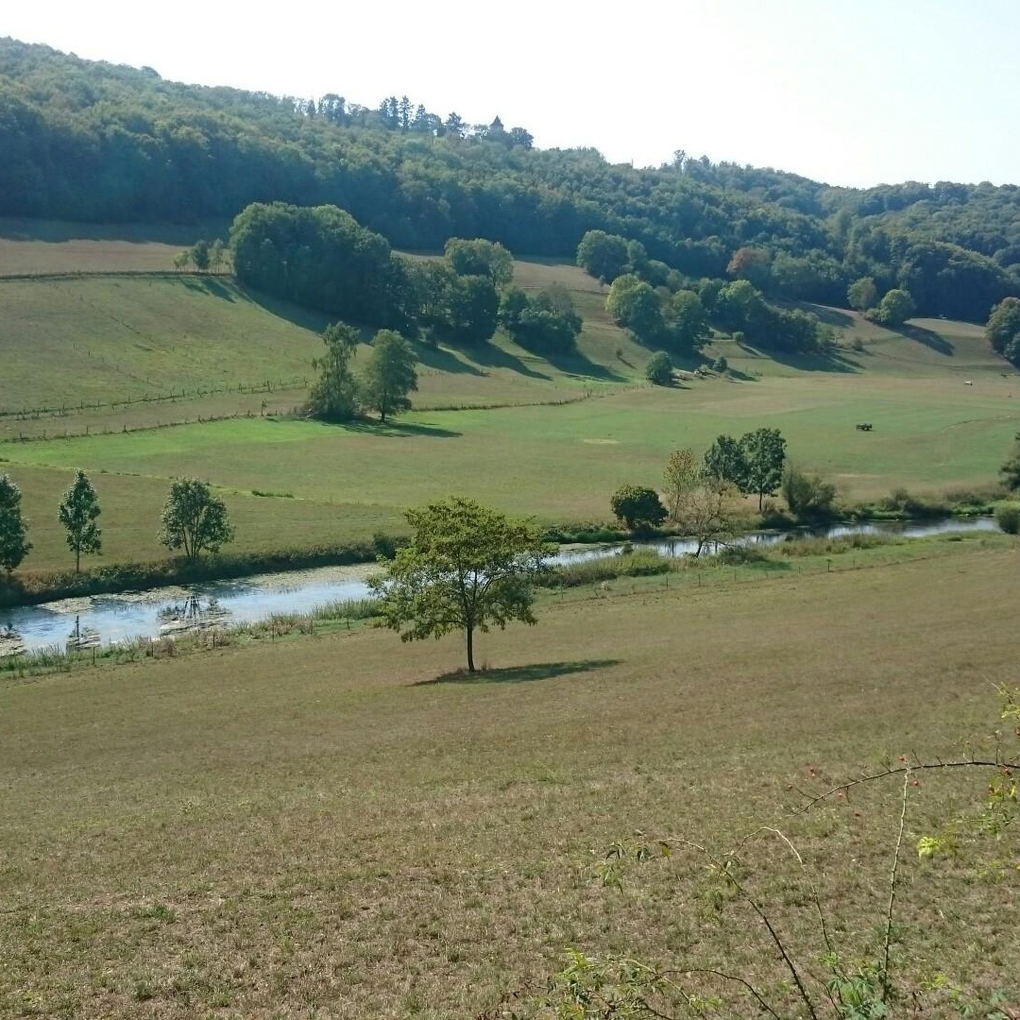
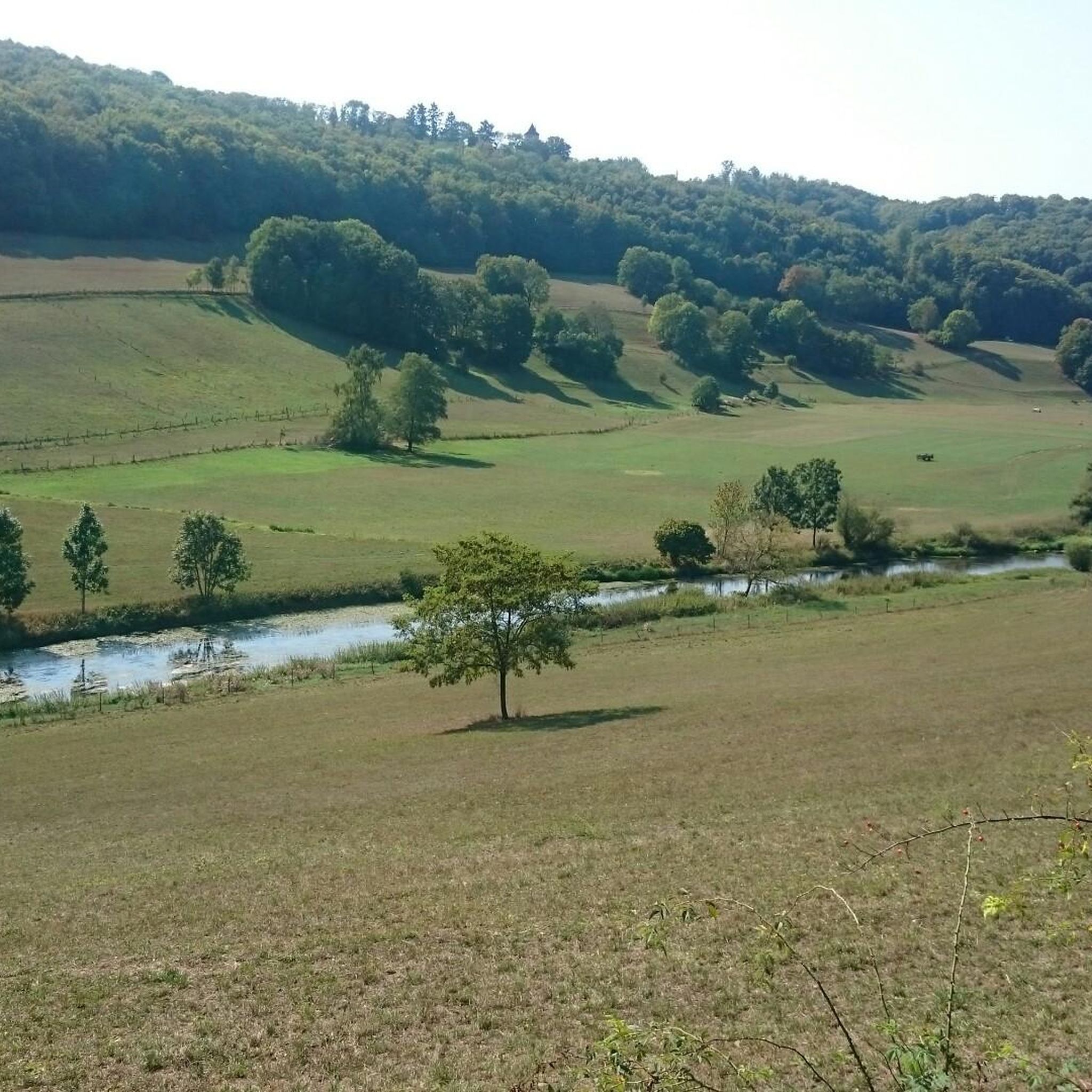
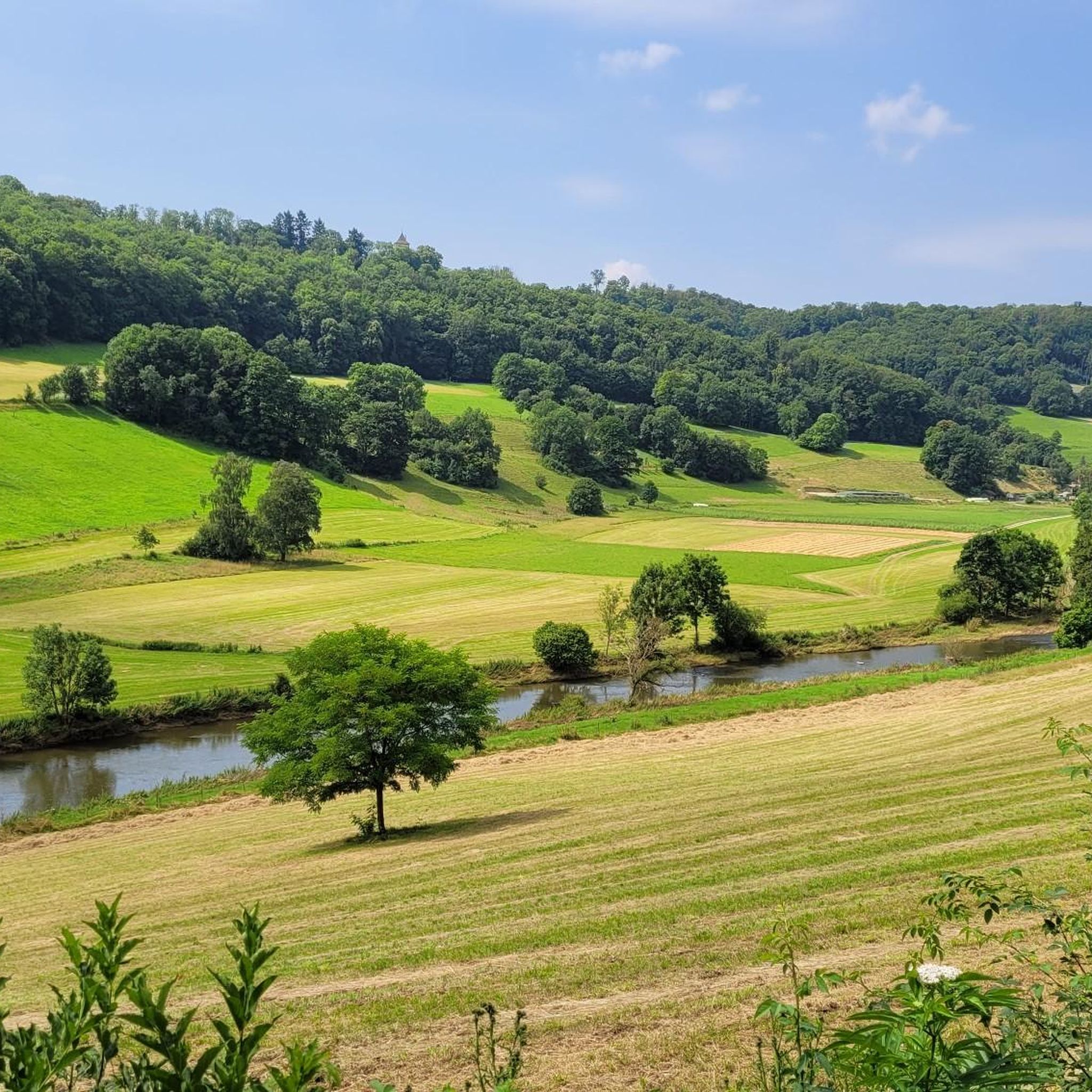
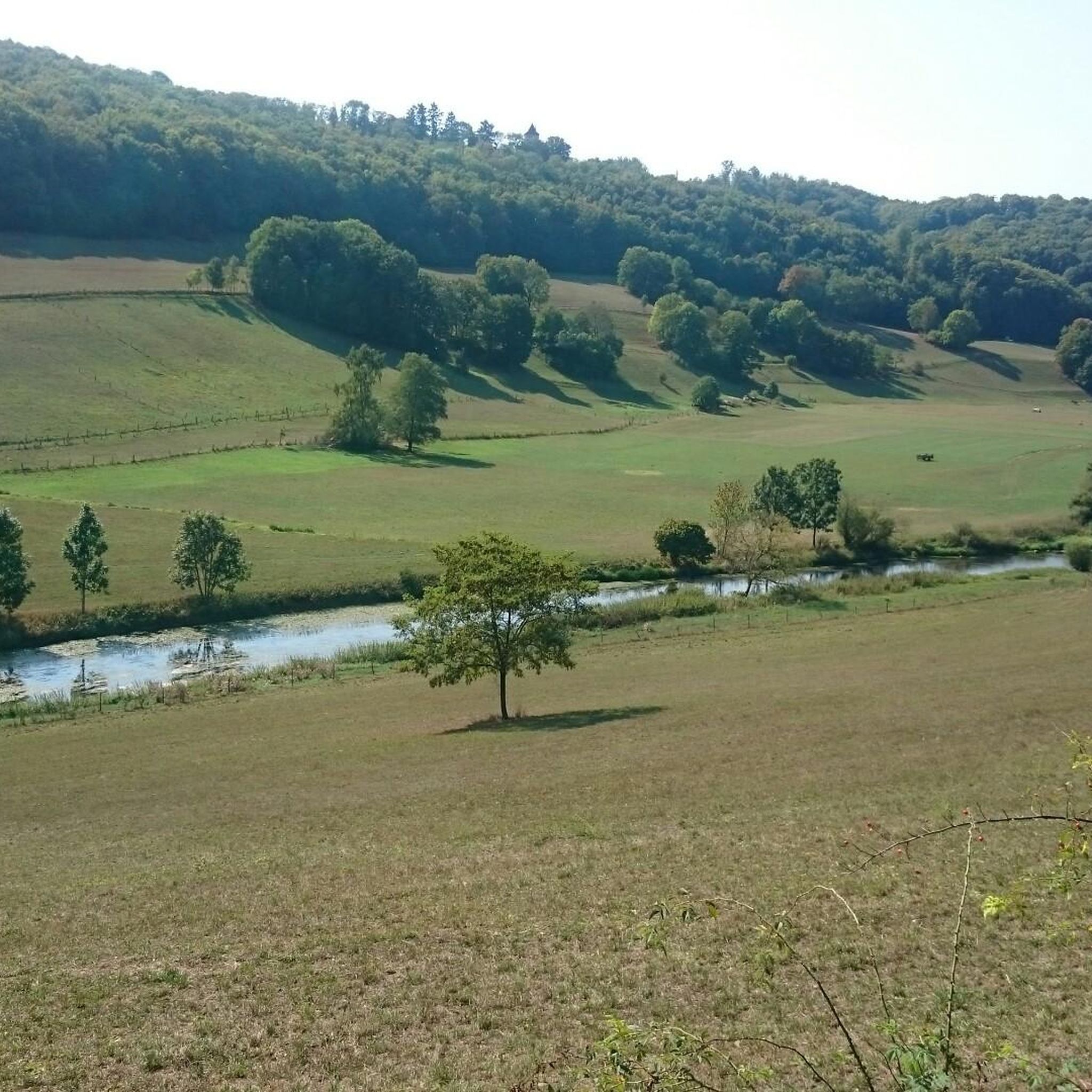
Gravel biking around Gerabronn offers diverse terrain within the Hohenlohe region, characterized by its varied and often hilly landscape. The area is shaped by the Kocher and Jagst river valleys, providing both scenic riverside routes and challenging inclines. Riders can explore unpaved roads and forest tracks, particularly benefiting from access to the Schwäbisch-Fränkischer Wald Nature Park. This combination of natural features creates an engaging environment for gravel bikers seeking elevation changes and panoramic views.
Best gravel bike trails around Gerabronn
…Last updated: July 2, 2026
4.0
(1)
5
riders
40.8km
02:38
440m
440m
Hard gravel ride. Good fitness required. You may need to push your bike for some segments of this route.
3.0
(1)
2
riders
32.5km
02:02
290m
290m
Hard gravel ride. Good fitness required. You may need to push your bike for some segments of this route.

Sign up for free
5.0
(1)
2
riders
Moderate gravel ride. Good fitness required. Mostly paved surfaces. Suitable for all skill levels.
5.0
(1)
3
riders
Hard gravel ride. Good fitness required. You may need to push your bike for some segments of this route.
3.5
(2)
3
riders
Hard gravel ride. Very good fitness required. Mostly paved surfaces. Suitable for all skill levels.
Get access to more routes and recommendations from other explorers.
Sign up for free
Already have an account?
Our route recommendations are based on thousands of hikes, rides, and runs completed by other people on komoot.
Start today with a free account
Your next adventure awaits.
Login or Signup
Tips from the Community

Two very beautiful ponds in the nature reserve
0
0

Beautiful bridge with great Rastplast!
1
0

great easy-to-ride forest path
1
0


Beautiful tour through a nature reserve near Saurach near Crailsheim.
0
0


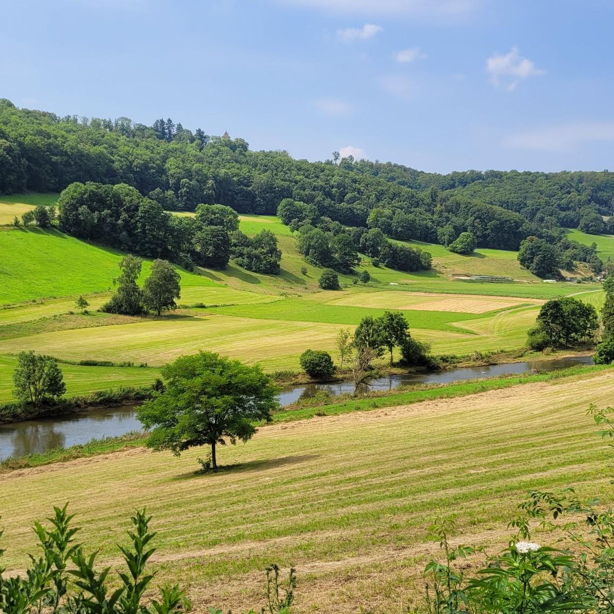
Wonderful views of the landscape. In July, the ripe grain fields are beautifully visible.
2
4
Always worth a visit in good weather. Delicious iced coffee included.
2
0
Frequently Asked Questions
How many gravel bike trails are available around Gerabronn?
There are over 30 gravel bike trails to explore around Gerabronn, offering a variety of experiences within the scenic Hohenlohe region. These routes are highly rated by the komoot community, with an average score of 4.6 stars.
What kind of terrain and landscapes can I expect on gravel bike trails in Gerabronn?
Gravel biking in Gerabronn is characterized by the hilly Hohenlohe landscape, featuring varied elevations and panoramic views, especially over the Jagst valley. You'll encounter routes along the scenic Kocher and Jagst river valleys, as well as unpaved roads and forest tracks within the Schwäbisch-Fränkischer Wald Nature Park.
What is the typical difficulty level for gravel biking routes in Gerabronn?
The gravel biking routes around Gerabronn generally range from moderate to difficult. Out of the 30 available trails, 10 are considered moderate and 20 are difficult, indicating a challenging and engaging experience for riders seeking elevation changes.
Are there any notable landmarks or attractions I can see along the gravel bike routes?
Yes, many routes offer views of significant landmarks. For instance, the route Kirchberg Castle on the Jagst – Jagst River Near Hessenau loop from Wasserschloss Erkenbrechtshausen features views of Kirchberg Castle. Other attractions in the broader area include the impressive Kochertal Bridge, the charming Ockenauer Steg Covered Wooden Bridge over the Jagst, and the historic Old Town of Kirchberg an der Jagst.
Are there any routes that pass by castles or historic sites?
Absolutely. The region is rich in history. The route Kirchberg Castle on the Jagst – Jagst River Near Hessenau loop from Wasserschloss Erkenbrechtshausen offers views of Kirchberg Castle. Another route, Langenburg Castle Gardens – Old Town Gate (Altes Stadttor) loop from Langenburg, explores the area around Langenburg Castle Gardens, a significant 17th-century castle with impressive baroque gardens.
Can I find circular gravel bike routes in Gerabronn?
Yes, many of the gravel bike trails around Gerabronn are designed as loops, allowing you to start and end at the same point. Examples include the Idyllic Road – Reutal reservoir loop from Wiesenbach and the Pond in Reusenberg – Burgberg Tower loop from Burg Lobenhausen, which takes you through varied landscapes.
What do other gravel bikers enjoy most about the trails in Gerabronn?
The komoot community rates the gravel biking experience in Gerabronn very highly, with an average score of 4.6 stars from over 20 reviews. Riders often praise the diverse terrain, the challenging climbs, and the beautiful views over the Jagst valley and the Hohenlohe landscape.
Are there any routes that feature reservoirs or bodies of water?
Yes, you can find routes that incorporate local water features. For example, the Idyllic Road – Reutal reservoir loop from Wiesenbach explores the area around the Reutal reservoir, offering varied terrain and scenic views of the water.
What is the best time of year to go gravel biking in Gerabronn?
While specific data isn't provided, the Hohenlohe region, like much of Germany, is generally best for outdoor activities from spring through early autumn (April to October). During these months, you can expect more favorable weather conditions for exploring the diverse landscapes and river valleys.
Are there any routes that take me through forested areas?
Yes, the region benefits from its proximity to the Schwäbisch-Fränkischer Wald Nature Park. Routes like the Forest trail through the Schorrenwald – Idyllic Road loop from Burg Roßbürg offer extensive sections through forests, providing shaded paths and a different riding experience.
What is the average length and elevation gain for gravel bike routes in Gerabronn?
The gravel bike routes in Gerabronn vary in length and elevation. For instance, the Kirchberg Castle on the Jagst – Jagst River Near Hessenau loop from Wasserschloss Erkenbrechtshausen is about 45 km long with over 530 meters of elevation gain, while the Pond in Reusenberg – Burgberg Tower loop from Burg Lobenhausen covers about 40 km with around 435 meters of ascent.
Most popular routes around Gerabronn
Most popular attractions around Gerabronn

Get inspired with the komoot mobile app


Explore more
Browse the best Gravel rides in other regions.
