The best gravel rides around Pöttmes
3.9
(33)
159
riders
30
rides
Gravel biking around Pöttmes features routes through a landscape characterized by river embankments, forest paths, and agricultural fields. The region offers varied terrain with gentle elevation changes, suitable for different skill levels. Trails often follow the courses of local rivers and streams, such as the Lech and Paar, and pass by small lakes and ponds.
Best gravel bike trails around Pöttmes
- The most popular gravel bike trail is On the Lech embankment – Thierhaupten Bird Sanctuary loop from Thierhaupten,…
Last updated: October 19, 2026
3.0
(1)
20
riders
34.9km
02:09
70m
70m
Moderate gravel ride. Good fitness required. Mostly paved surfaces. Suitable for all skill levels.
4.3
(21)
102
riders
Moderate gravel ride. Good fitness required. Mostly paved surfaces. Suitable for all skill levels.

4.3
(4)
6
riders
17.0km
01:08
90m
90m
Easy gravel ride. Great for any fitness level. Mostly paved surfaces. Suitable for all skill levels.
10
riders
44.5km
02:47
340m
340m
Moderate gravel ride. Good fitness required. Mostly paved surfaces. Suitable for all skill levels.
4.0
(2)
6
riders
34.6km
02:09
320m
320m
Moderate gravel ride. Good fitness required. Mostly paved surfaces. Suitable for all skill levels.
Get access to more routes and recommendations from other explorers.
Already have an account?
Our route recommendations are based on thousands of hikes, rides, and runs completed by other people on komoot.
Start today with a free account
Your next adventure awaits.
Popular around Pöttmes
Castles, Nature and History – hiking loops in the Wittelsbacher Land
History and nature – 12 cycling Tours through the Wittelsbach Region
On foot in Bayerisch-Schwaben – five top hiking routes
Hiking around Pöttmes
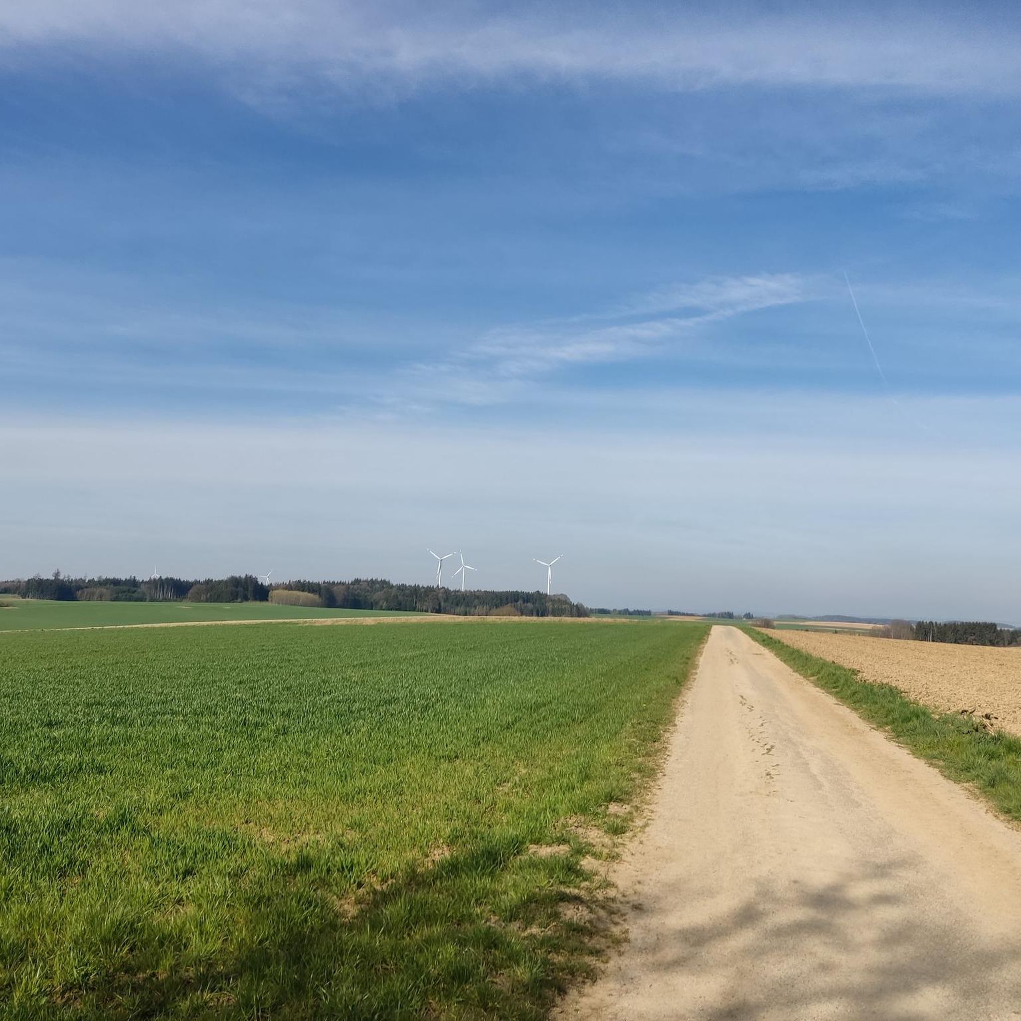
Cycling around Pöttmes
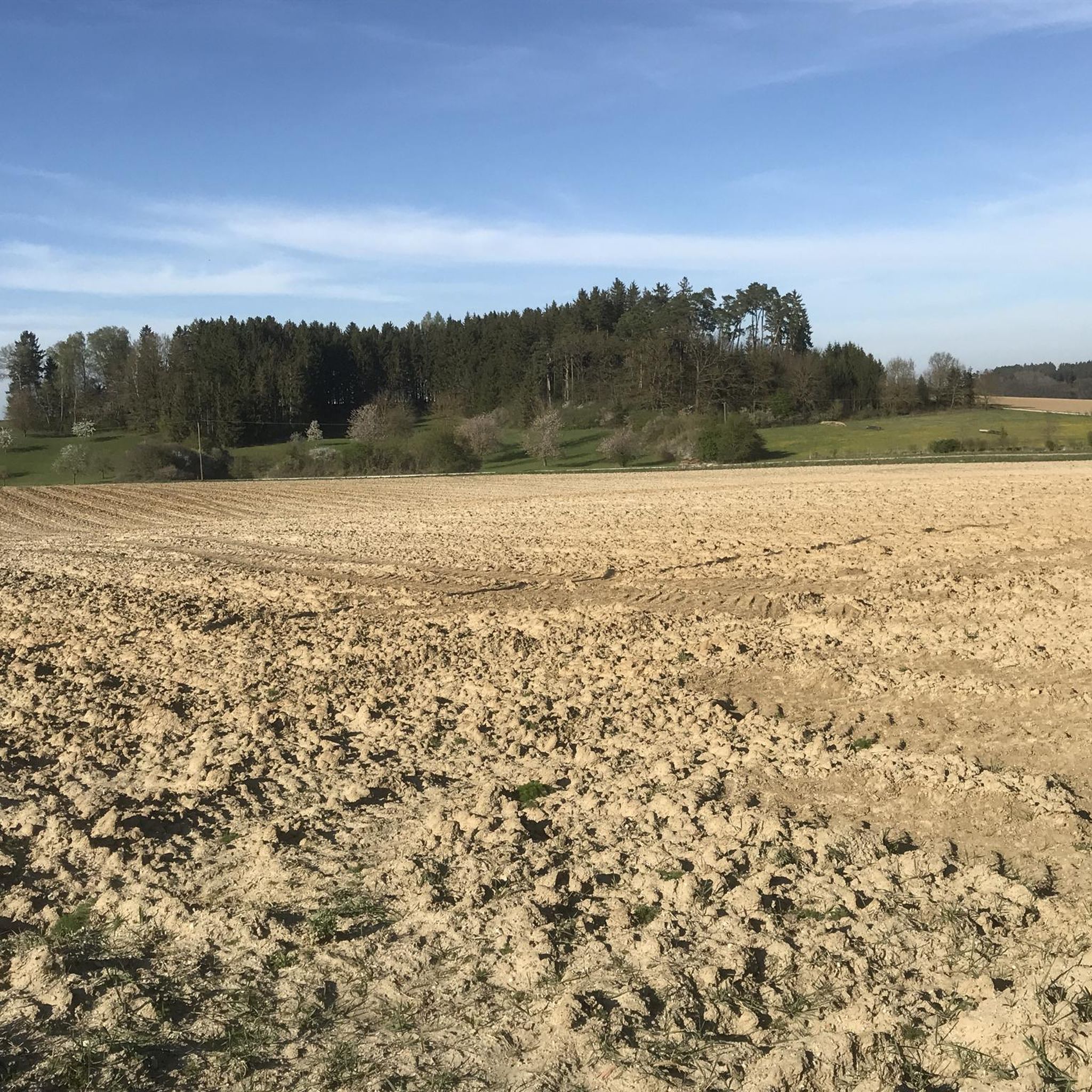
Road Cycling Routes around Pöttmes
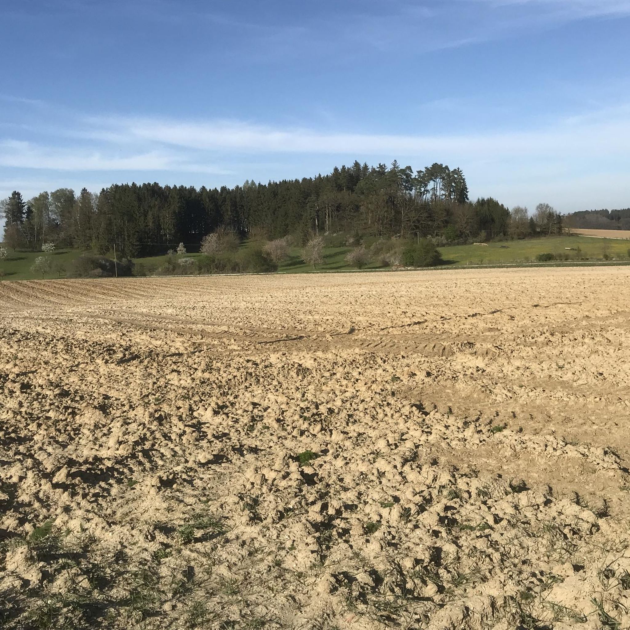
MTB Trails around Pöttmes
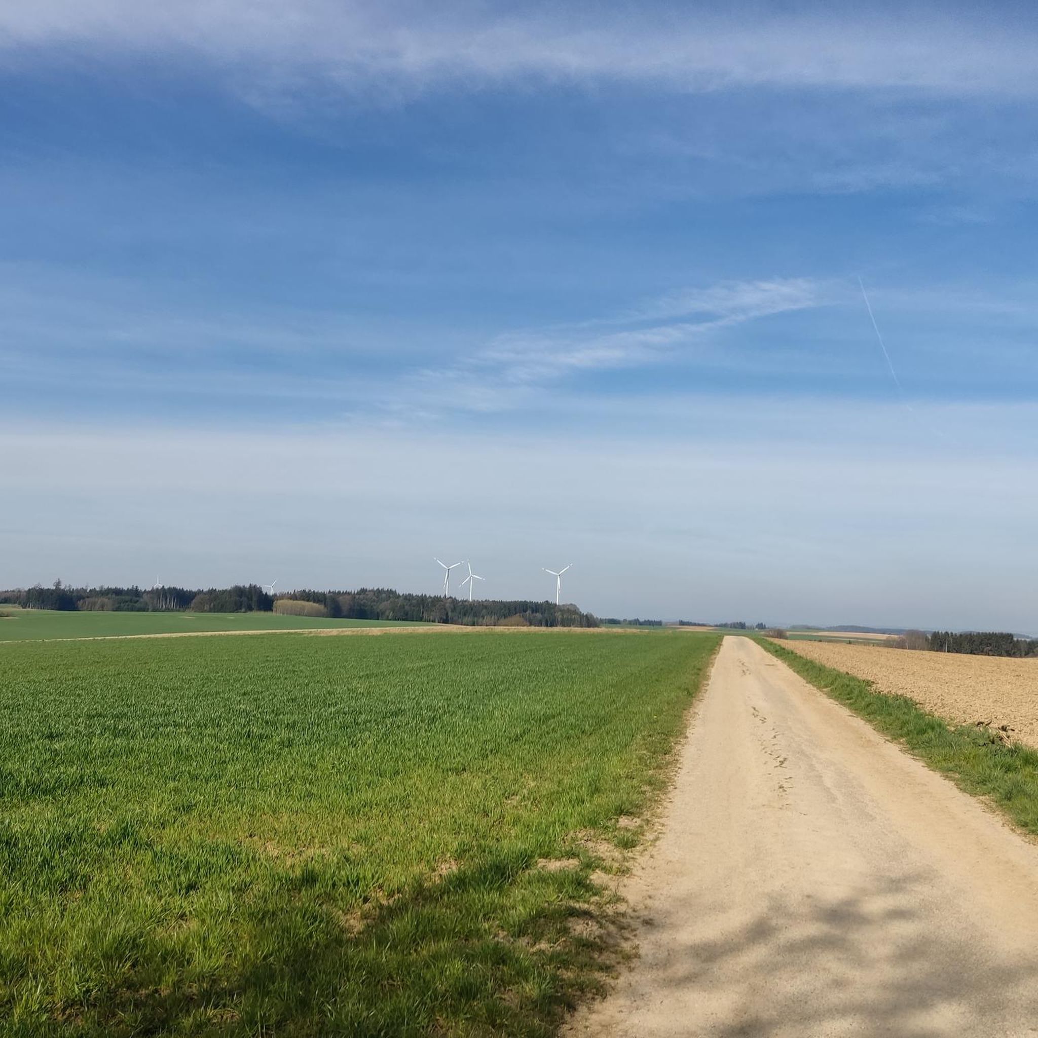
Running Trails around Pöttmes
Other adventures around Pöttmes

Tips from the Community

Super beautiful view
0
1


A beautiful cycle path on the Lech
0
0
Beautiful historic old town sob
0
0

Depending on the water flow in the Lech, north of the weir in Gersthofen, the "river" is only fed by the water flowing through the fish ladder, with the water being primarily diverted into the Lech canal.😒
0
0
It has always served as a residential tower
0
0

The Lech is a right tributary of the Danube. The 256 km long river originates in Vorarlberg in the Hochtannberg region at the confluence of the Spullerbach and Formarinbach streams in the Tannläger valley. It flows through Tyrol and southern Bavaria, where it empties into the Danube. Shortly before the Austrian-German border, it joins the Vils river, forms the artificial Lechfall near Füssen, and crosses Swabia and Upper Bavaria on its way. The largest cities on the Lech are Landsberg and Augsburg; in this city, it receives its largest tributary, the Wertach. The river empties into the Danube near Marxheim. Source: Wikipedia
1
0
Frequently Asked Questions
Are there easy gravel bike trails suitable for beginners in Pöttmes?
Yes, Pöttmes offers several easy gravel bike trails perfect for beginners. For example, the Forest Pond loop from Schrobenhausen is a gentle 10.6-mile (17 km) route that takes about an hour to complete, leading through pleasant forested areas and past a pond. Another accessible option is the Lake Radersdorf – Goachat loop from Walchshofen, which is around 16.3 miles (26.2 km) long.
Can I find longer gravel bike routes, for example, around 50km, in the Pöttmes area?
While most routes are shorter, you can combine trails or choose longer options. The View of the River Paar – Hohenwart Town Gate loop from Schrobenhausen is a moderate 27.4-mile (44.2 km) path, offering scenic views along the River Paar and passing historical town gates. For a slightly shorter but still substantial ride, consider the On the Lech embankment – Thierhaupten Bird Sanctuary loop from Thierhaupten at 21.7 miles (34.9 km).
What is the typical duration for gravel bike rides around Pöttmes?
The duration of gravel bike rides in Pöttmes varies depending on the route and your pace. Many popular routes, like the Forest Pond loop from Schrobenhausen, can be completed in about 1 to 1.5 hours. Longer, moderate trails such as the View of the River Paar – Hohenwart Town Gate loop from Schrobenhausen typically take around 3 to 4 hours.
Where can I find parking for gravel biking routes near Pöttmes?
Many gravel bike routes around Pöttmes start from towns like Schrobenhausen or Thierhaupten, where public parking is generally available. For specific routes, it's best to check the individual tour details on komoot, as they often provide information on starting points and nearby parking facilities. For example, routes starting from Schrobenhausen or Walchshofen usually have convenient parking options.
Are there any family-friendly gravel biking options in Pöttmes?
Yes, the Pöttmes region offers several family-friendly gravel biking options, especially those with gentle elevation changes and well-maintained paths. Routes that follow river embankments or pass by small lakes, such as the Lake Radersdorf – Goachat loop from Walchshofen, are often suitable for families looking for a relaxed ride. The Forest Pond loop from Schrobenhausen is another good choice due to its shorter distance and pleasant scenery.
What kind of terrain can I expect on gravel bike trails in Pöttmes?
Gravel bike trails in Pöttmes are characterized by a mix of river embankments, forest paths, and agricultural fields. You'll encounter varied terrain with gentle elevation changes, making it suitable for different skill levels. The routes often follow the courses of local rivers like the Lech and Paar, and pass by small lakes and ponds, offering a diverse and scenic riding experience.
What do other gravel bikers enjoy the most about gravel biking in Pöttmes?
The Pöttmes area is highly rated by the komoot community, with an average score of 3.9 stars from over 30 reviews. Reviewers often praise the varied terrain, the peaceful river valleys, and the charming agricultural landscapes. Many appreciate the network of trails that offers options for different ability levels, from easy rides to more challenging routes, and the opportunity to explore the region's natural beauty.
Are there any circular gravel bike routes available in Pöttmes?
Yes, many of the gravel bike routes in Pöttmes are designed as circular loops, allowing you to start and end at the same point. Examples include the popular On the Lech embankment – Thierhaupten Bird Sanctuary loop from Thierhaupten, the Forest Pond loop from Schrobenhausen, and the Lake Radersdorf – Goachat loop from Walchshofen. These loops make planning your ride convenient.
What can I see along the gravel bike trails in Pöttmes?
Along the gravel bike trails in Pöttmes, you can discover a variety of natural and historical sights. Many routes follow rivers like the Lech and Paar, offering scenic views. You might pass by natural highlights such as Lake Radersdorf or the Thierhaupten Bird Sanctuary. Historical landmarks like the Thierhaupten Monastery or the Lower Gate in Aichach are also accessible from some routes.
Are there any castles or historical sites accessible by gravel bike in the Pöttmes area?
Absolutely! The Pöttmes region is rich in historical sites and castles. While gravel biking, you could encounter or detour to places like Scherneck Castle, Sisi Castle Unterwittelsbach, or the impressive Sandizell Water Castle. These historical landmarks add a cultural dimension to your outdoor adventure.
How many gravel bike trails are available around Pöttmes?
There are over 40 gravel bike trails available around Pöttmes, offering a wide range of options for different skill levels and preferences. This includes 3 easy routes, 27 moderate routes, and 11 more challenging trails, ensuring there's something for every gravel biker.
Most popular routes around Pöttmes
Most popular attractions around Pöttmes

Get inspired with the komoot mobile app


Explore more
Browse the best Gravel rides in other regions.
