The best gravel rides around Oer-Erkenschwick
4.5
(706)
3,053
riders
21
rides
Gravel biking around Oer-Erkenschwick is characterized by its varied terrain, situated at the edge of the Hohe Mark-Westmünsterland Nature Park. The area features extensive forest paths, notably within The Haard, alongside routes that explore former mining landscapes and serene reservoirs. This region provides a mix of natural features and diverse trails suitable for different skill levels.
Best gravel bike trails around Oer-Erkenschwick
- The most popular gravel bike trail is Dachsberg Trail – Haard Forest Trail loop from NSG Stimberghoehe,…
Last updated: October 13, 2026
17
riders
29.1km
02:23
350m
350m
Moderate gravel ride. Good fitness required. Mostly paved surfaces. Suitable for all skill levels.
4.0
(4)
13
riders
Moderate gravel ride. Good fitness required. Mostly paved surfaces. Suitable for all skill levels.

8
riders
29.5km
02:24
290m
290m
Hard gravel ride. Good fitness required. You may need to push your bike for some segments of this route.
4.1
(7)
13
riders
23.5km
01:21
150m
150m
Moderate gravel ride. Good fitness required. Mostly paved surfaces. Suitable for all skill levels.
4.5
(2)
14
riders
42.9km
02:17
190m
190m
Moderate gravel ride. Good fitness required. Mostly paved surfaces. Suitable for all skill levels.
Get access to more routes and recommendations from other explorers.
Already have an account?
Our route recommendations are based on thousands of hikes, rides, and runs completed by other people on komoot.
Start today with a free account
Your next adventure awaits.
Popular around Oer-Erkenschwick
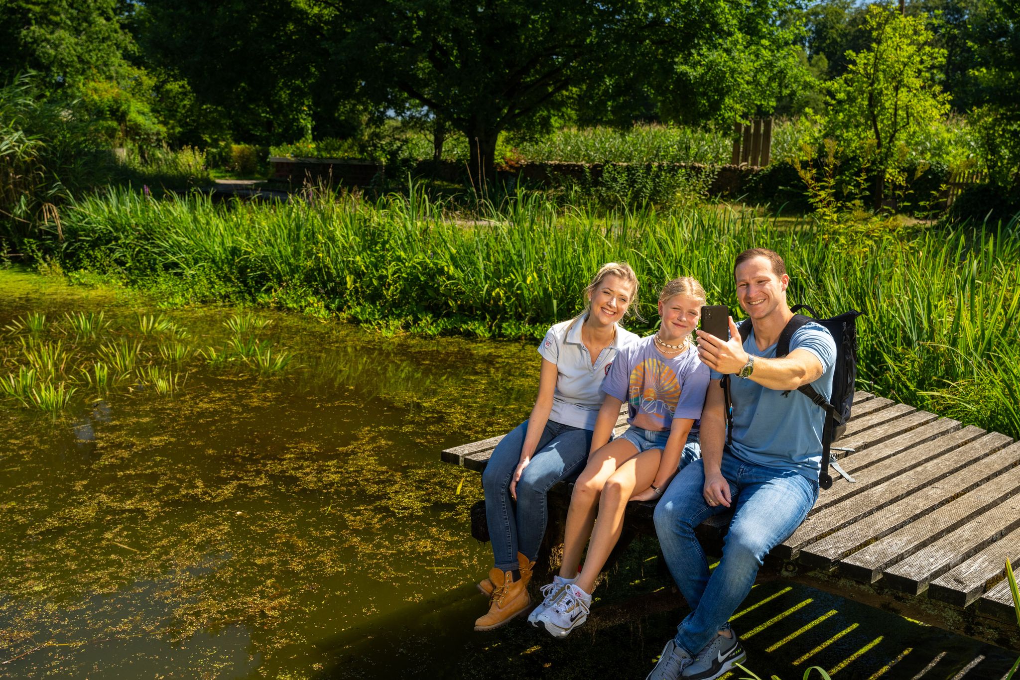
Hiking and discoveries – family walks in the Hohe Mark Nature Park
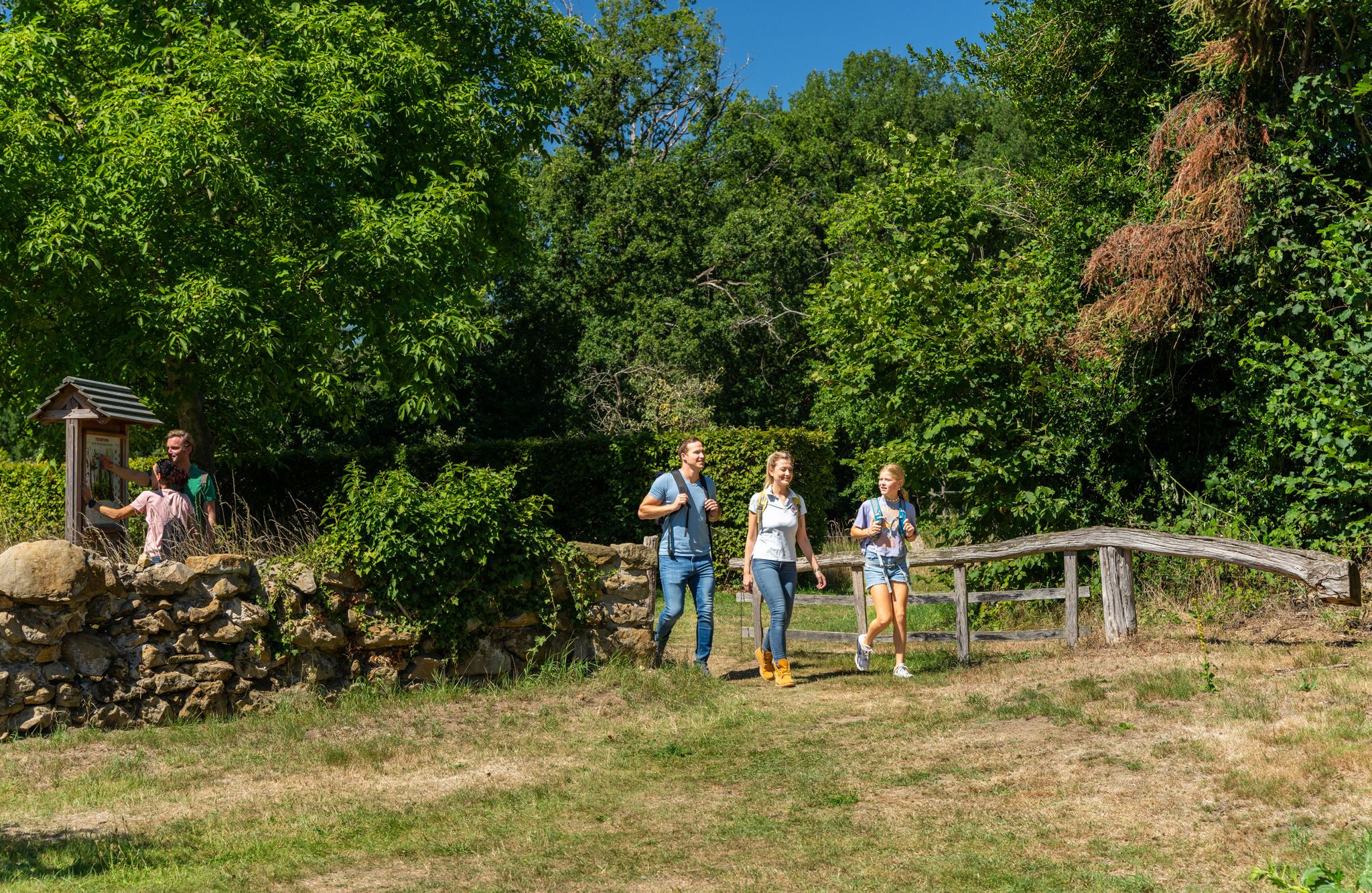
LandStreifer – circular hiking trails to Germany’s Hohe Mark Steig
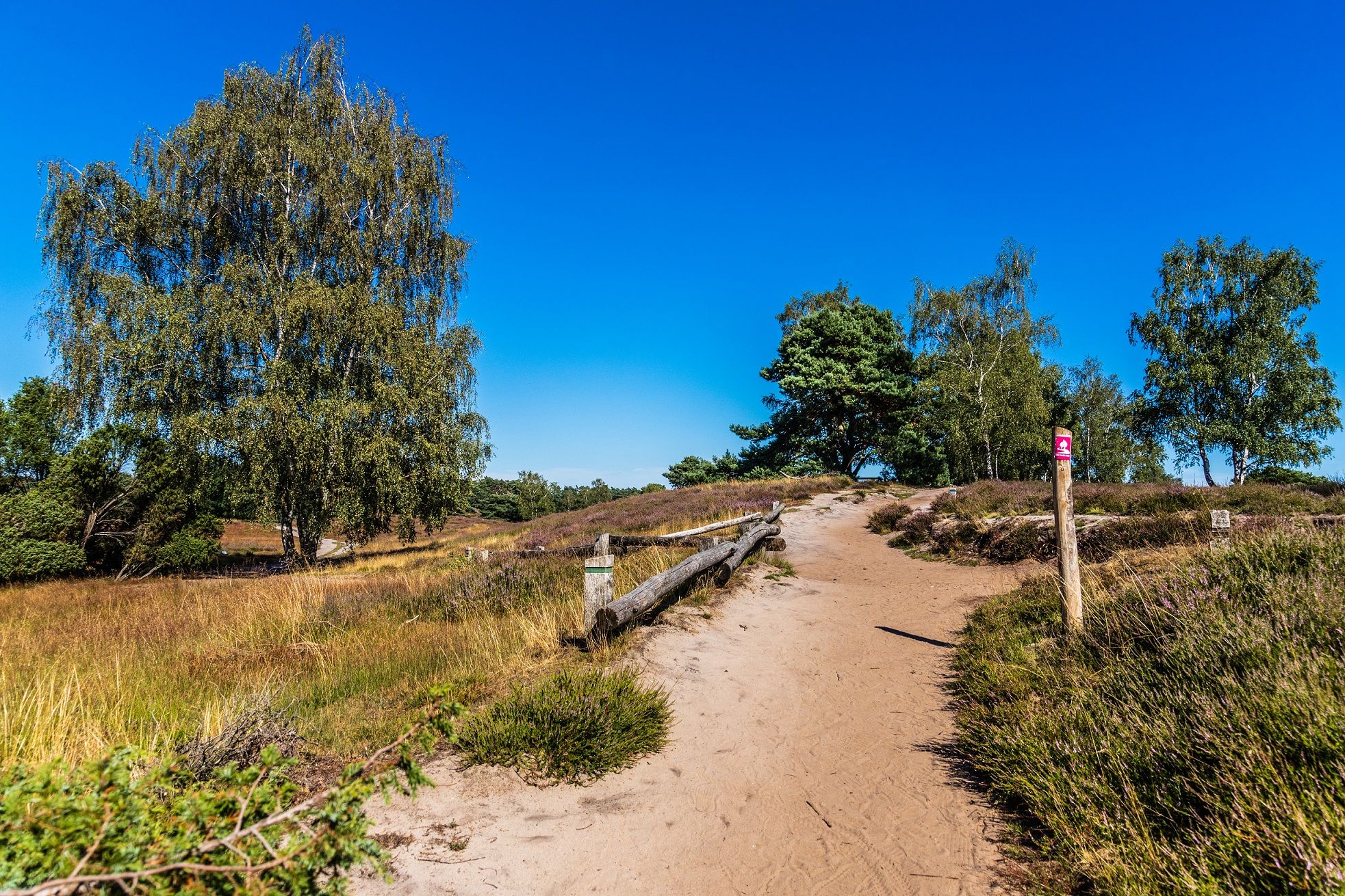
Your bond with nature — Germany’s Hohe Mark Steig
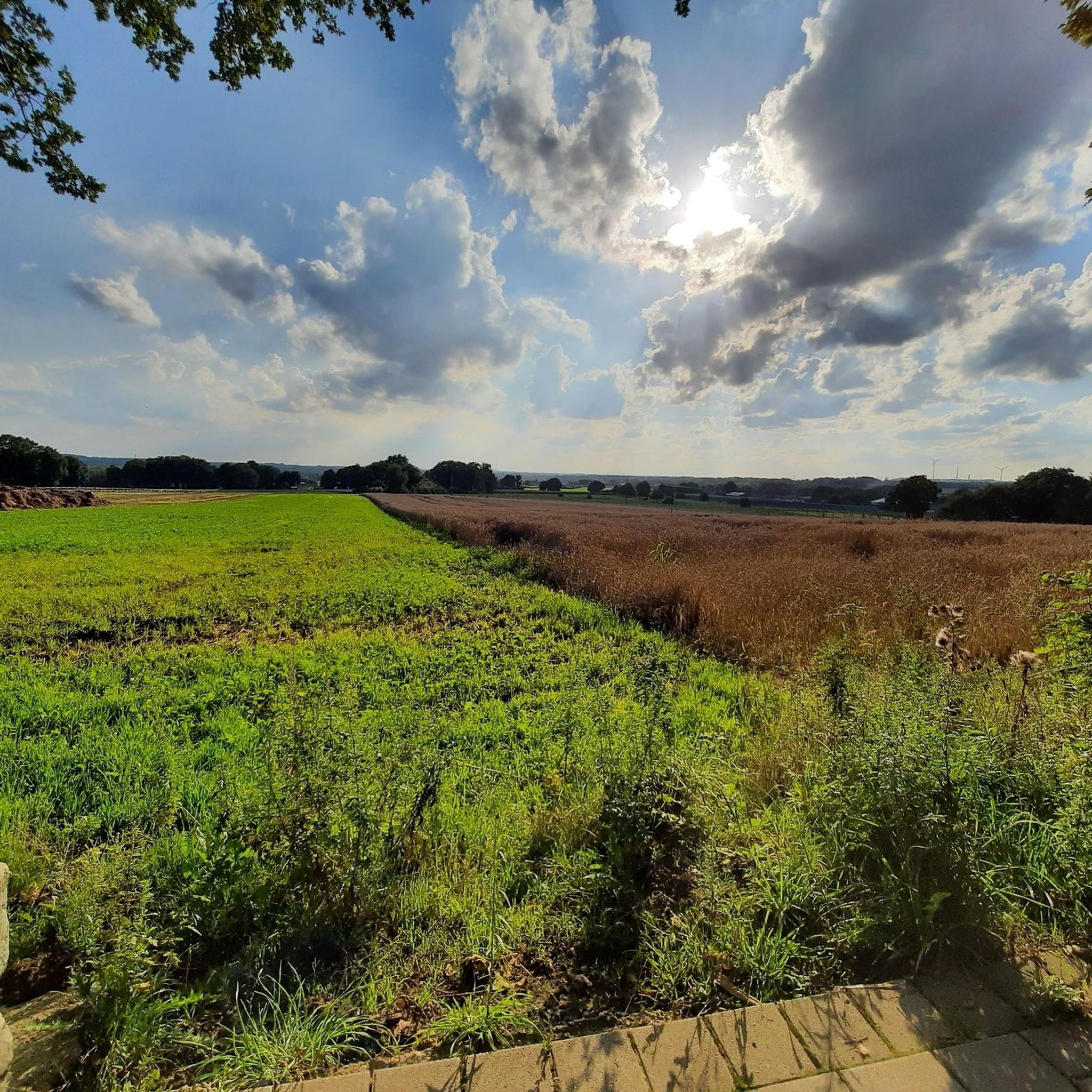
Hiking around Oer-Erkenschwick
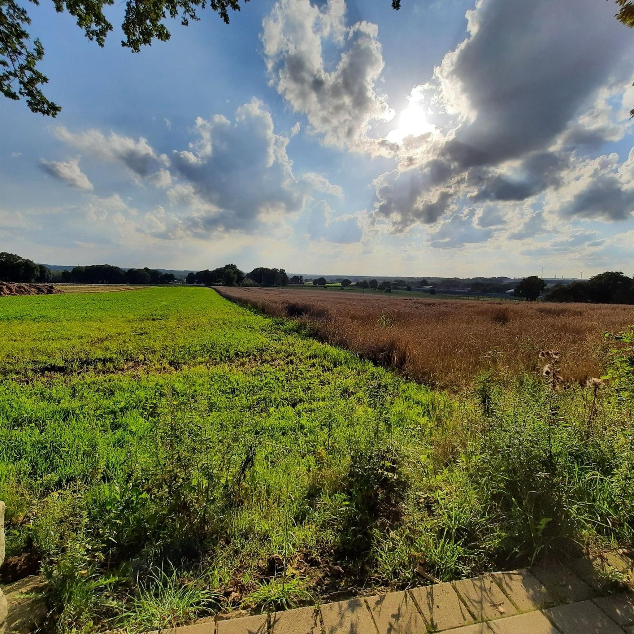
Cycling around Oer-Erkenschwick
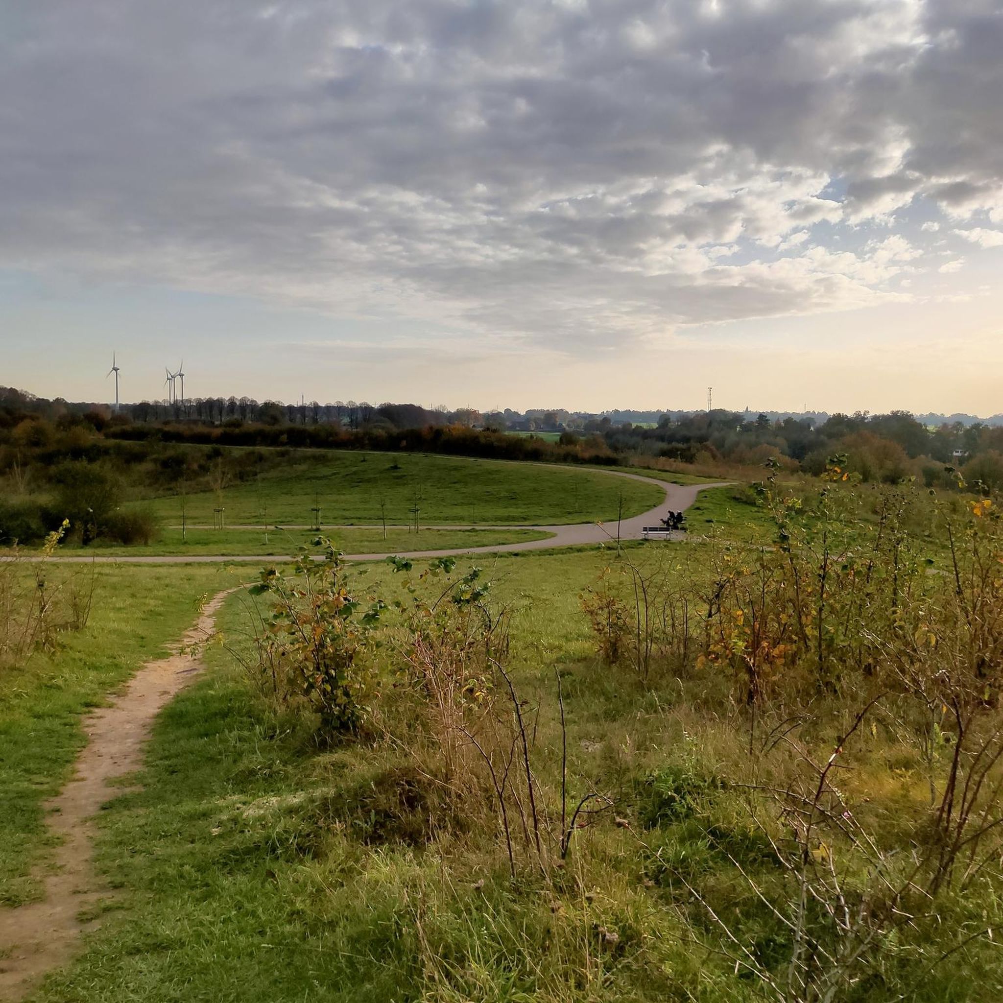
MTB Trails around Oer-Erkenschwick
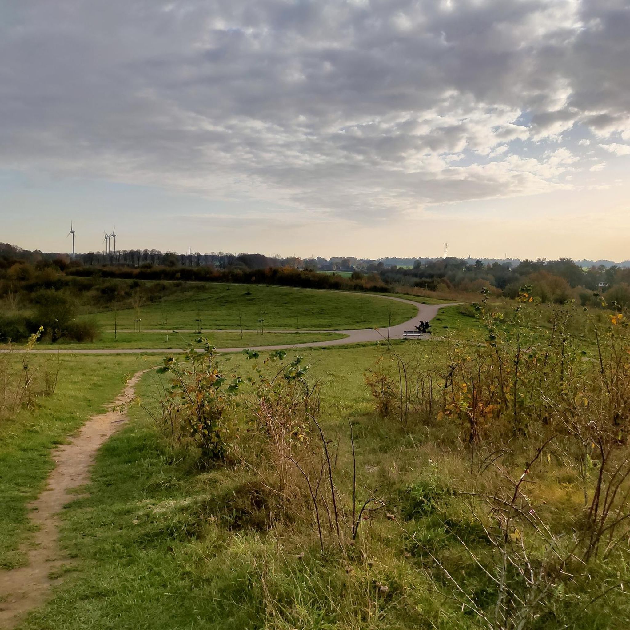
Running Trails around Oer-Erkenschwick
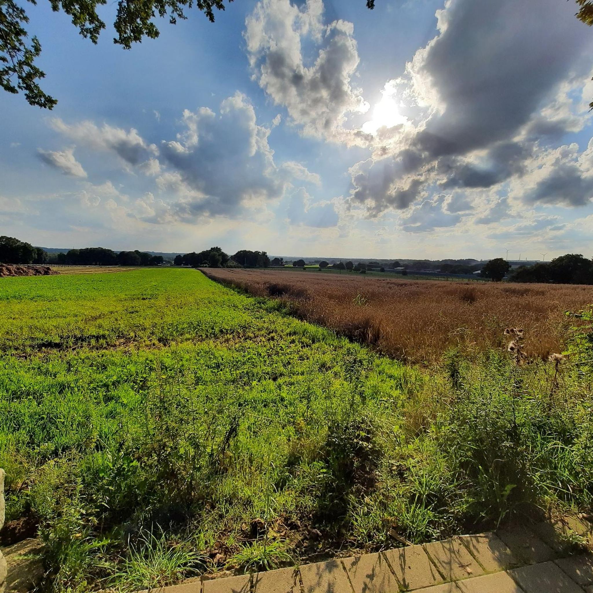
Road Cycling Routes around Oer-Erkenschwick
Mountain Hikes around Oer-Erkenschwick
Other adventures around Oer-Erkenschwick

Tips from the Community

It's always worth climbing the stairs. The view is really great and, above all, very far. Whether into Münsterland, or even the foothills of Sauerland. Depending on the weather, you can see very far.
0
0

Beautiful paths right along the canal with a view of the canal crossing.
3
0

💚 Cycling Highlight: Industrial Water Management The Flaesheim Lock is a perfect stop for cyclists to experience the industrial heritage and the importance of artificial waterways in the region. The lock is located directly on the Roman Route and is part of the Industrial Heritage Trail by Bike.
0
0
🚢 Flaesheim Lock (Wesel-Datteln Canal) The Flaesheim Lock is a significant structure on the Wesel-Datteln Canal (WDK) near Haltern am See. It overcomes a considerable drop in elevation and is an important hub for both freight and recreational shipping.
0
0

In some places well rutted, deep furrows.
0
0


Great block covering the entire region. It's worth the climb.
0
0

Here the Lippe flows underneath the "Alte Fahrt".
4
0
Frequently Asked Questions
How many gravel bike trails are available around Oer-Erkenschwick?
There are over 20 gravel bike routes in the Oer-Erkenschwick area, offering a diverse range of experiences. These include 7 easy, 12 moderate, and 5 difficult trails, catering to various skill levels.
What kind of terrain can I expect on gravel bike trails in Oer-Erkenschwick?
The terrain around Oer-Erkenschwick is quite varied, blending extensive forest paths, particularly within The Haard, with routes exploring former mining landscapes and serene reservoirs. You'll encounter a mix of natural features and diverse trails, from wide forest paths to some singletracks, often away from car traffic.
Are there any routes suitable for beginners or families?
Yes, Oer-Erkenschwick offers several routes suitable for beginners and families. Many trails feature mostly paved surfaces and moderate difficulty. For instance, the Flaesheim Lock Complex – The Haard loop from Oer-Erkenschwick is a moderate ride that takes you through The Haard and past the Flaesheim Lock Complex, ideal for a less strenuous outing. The Stimbergpark also offers easy-to-manage paths for family outings.
What are some notable landmarks or natural features I can see along the gravel bike trails?
You'll encounter a rich mix of natural and historical landmarks. Many routes traverse the Hohe Mark-Westmünsterland Nature Park and the expansive The Haard forest. You can also ride past the beautiful Halterner Reservoir and Hullerner Reservoir. For panoramic views, consider routes near the Hoheward Spoil Heap & Horizon Observatory or the Hoppenbruch Slagheap.
Are there any challenging routes for experienced gravel bikers?
Absolutely. While many routes are moderate, there are more challenging options available. Some excursions can exceed five hours and involve significant elevation gain, sometimes requiring you to push your bike. The Wesel-Datteln Canal Bridge – The Haard loop from NSG Stimberghoehe is classified as difficult, offering a more demanding ride through The Haard.
Can I find circular gravel bike routes in the area?
Yes, many of the gravel bike trails around Oer-Erkenschwick are designed as loops, allowing you to start and end at the same point. Examples include the Dachsberg Trail – Haard Forest Trail loop from NSG Stimberghoehe, which explores the Haard forest, and the Halterner Reservoir – View of the Halterner Reservoir loop from NSG Stimberghoehe, offering scenic views around the reservoir.
What do other gravel bikers say about the trails in Oer-Erkenschwick?
The gravel biking routes in Oer-Erkenschwick are highly regarded by the komoot community, boasting an average rating of 4.5 stars from over 800 reviews. Riders often praise the varied terrain, the extensive network of trails, and the opportunity to explore nature away from car traffic.
When is the best time of year to go gravel biking in Oer-Erkenschwick?
The region is suitable for gravel biking throughout much of the year. Spring and autumn offer pleasant temperatures and beautiful scenery, especially with the changing foliage in The Haard. Summer is also great, though some routes might be more exposed. Even winter can be an option, with the right gear, as the trails provide a unique experience in colder months.
Are there specific parking options for gravel bikers near the trails?
Many trailheads, especially those within or bordering the Hohe Mark-Westmünsterland Nature Park and The Haard, offer designated parking areas. For example, routes starting from NSG Stimberghoehe typically have parking facilities nearby, making access convenient for riders arriving by car.
Are the gravel bike trails in Oer-Erkenschwick dog-friendly?
Many of the natural areas and forest paths around Oer-Erkenschwick, including those in The Haard and the Hohe Mark-Westmünsterland Nature Park, are generally dog-friendly. However, it's always recommended to keep dogs on a leash, especially in nature reserves, and to be mindful of wildlife and other trail users. Check local signage for specific regulations.
Can I access the gravel trails using public transport?
Oer-Erkenschwick has public transport connections that can get you close to some of the trailheads. While direct access to every starting point might require a short ride or walk, the town's location provides reasonable access to the wider trail network. It's advisable to check local bus schedules and routes to plan your journey.
Are there any cafes or places to stop for refreshments along the routes?
Yes, several routes pass through or near towns and villages where you can find cafes, restaurants, or kiosks. For example, routes around the Halterner Reservoir often have establishments along the banks. Planning your route with komoot can help you identify potential refreshment stops along the way.
Most popular routes around Oer-Erkenschwick
Most popular attractions around Oer-Erkenschwick

Get inspired with the komoot mobile app


Explore more
Browse the best Gravel rides in other regions.
