The best gravel rides around Feuchter Forst
4.5
(641)
3,488
riders
331
rides
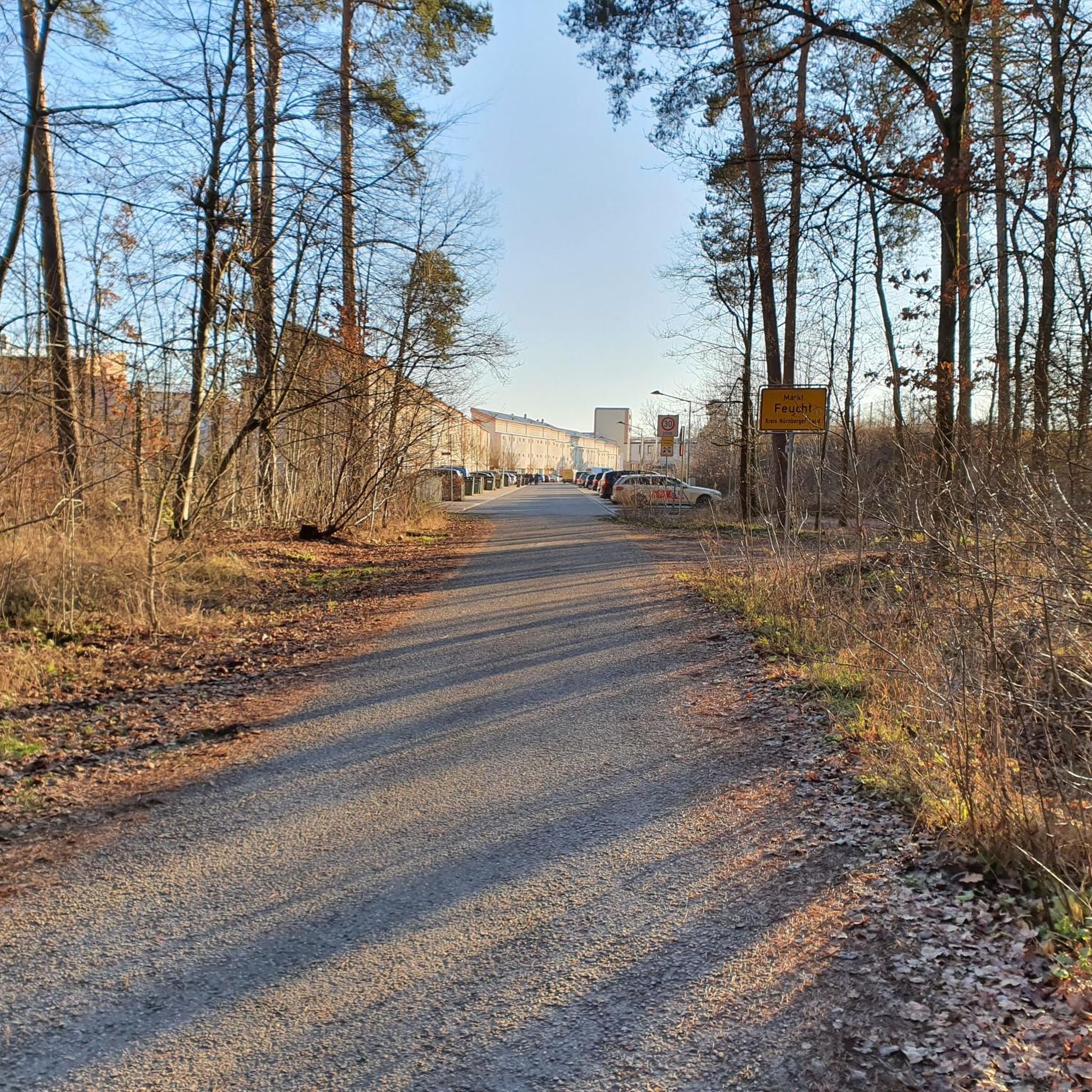
Gravel biking around Feuchter Forst offers a network of trails through varied terrain. The region is characterized by extensive woodlands, historic canal paths, and proximity to lakes. Elevation changes are generally moderate, with some routes featuring gentle climbs. The landscape provides a mix of forested sections and open views, suitable for different gravel biking preferences.
Best gravel bike trails around Feuchter Forst
- The most popular gravel bike trail is Ludwig-Danube-Main Canal – View of Burg Thann loop from Feucht Ost…
Last updated: October 20, 2026
4.6
(15)
65
riders
Moderate gravel ride. Good fitness required. Mostly paved surfaces. Suitable for all skill levels.
4.4
(7)
43
riders
55.9km
02:53
300m
300m
Moderate gravel ride. Good fitness required. Mostly paved surfaces. Suitable for all skill levels.

22
riders
25.6km
01:25
110m
110m
Easy gravel ride. Great for any fitness level. Mostly paved surfaces. Suitable for all skill levels.
5.0
(1)
12
riders
53.7km
03:07
390m
390m
Moderate gravel ride. Good fitness required. Mostly paved surfaces. Suitable for all skill levels.
4.0
(3)
14
riders
28.0km
01:34
150m
150m
Moderate gravel ride. Good fitness required. Mostly paved surfaces. Suitable for all skill levels.
Get access to more routes and recommendations from other explorers.
Already have an account?
Our route recommendations are based on thousands of hikes, rides, and runs completed by other people on komoot.
Start today with a free account
Your next adventure awaits.
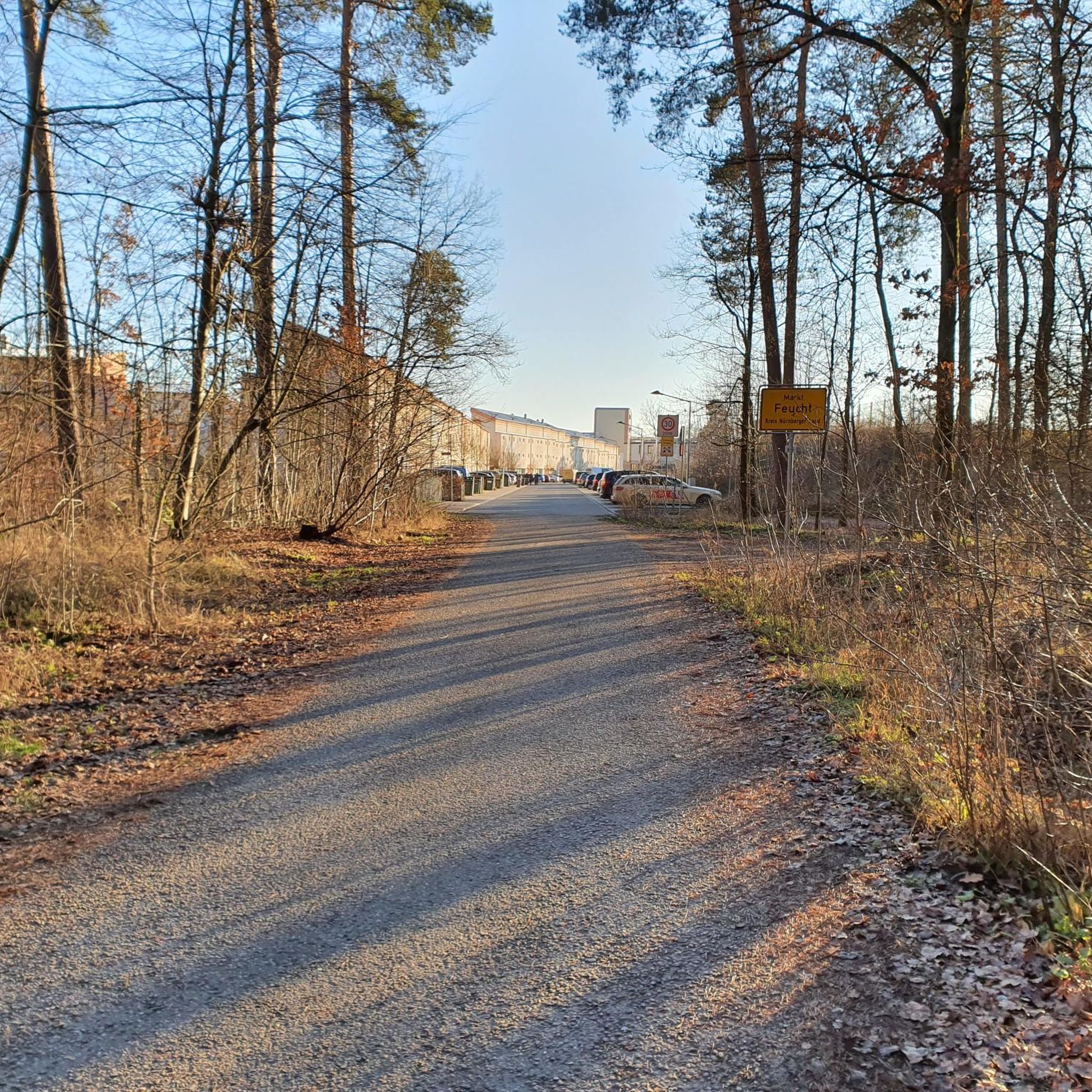
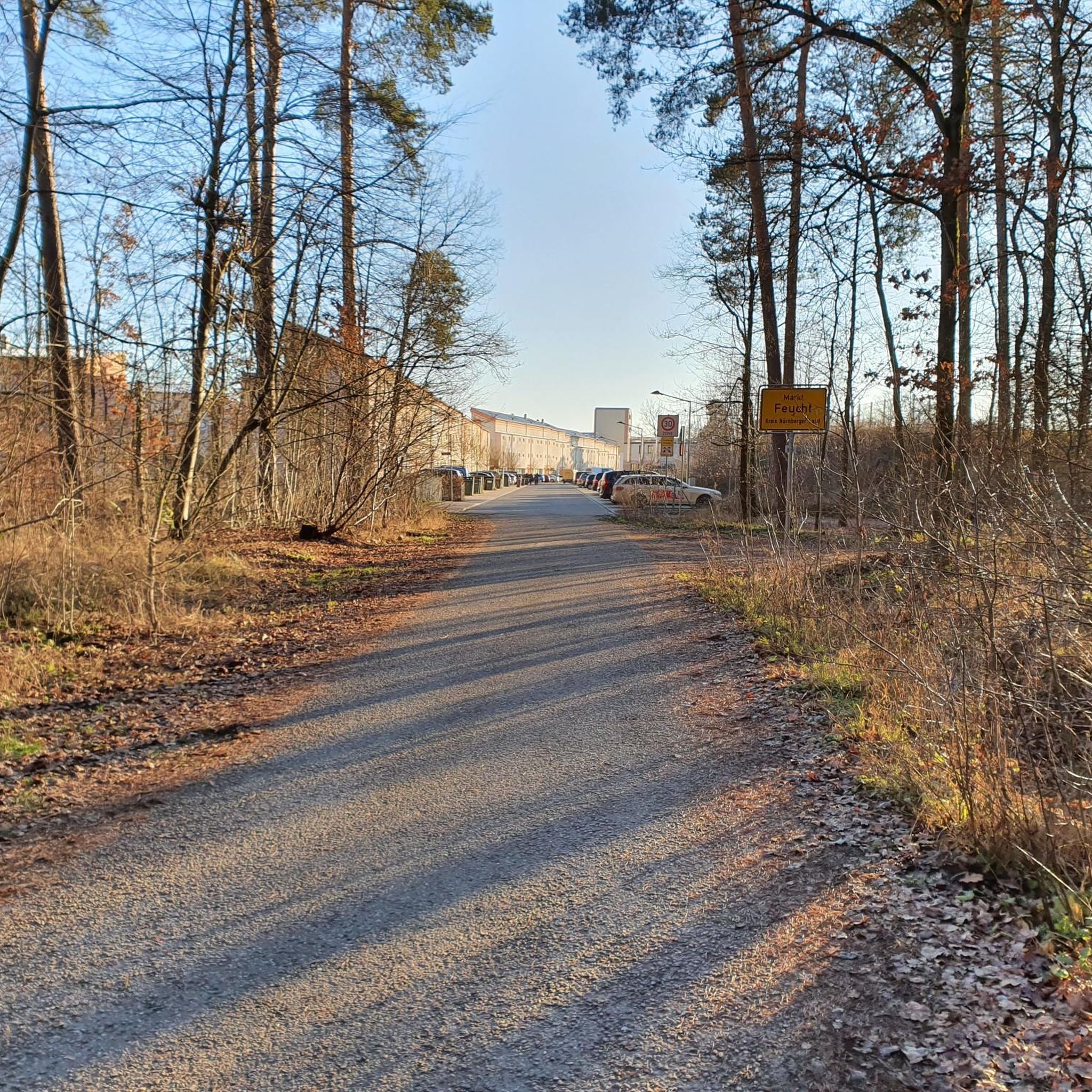
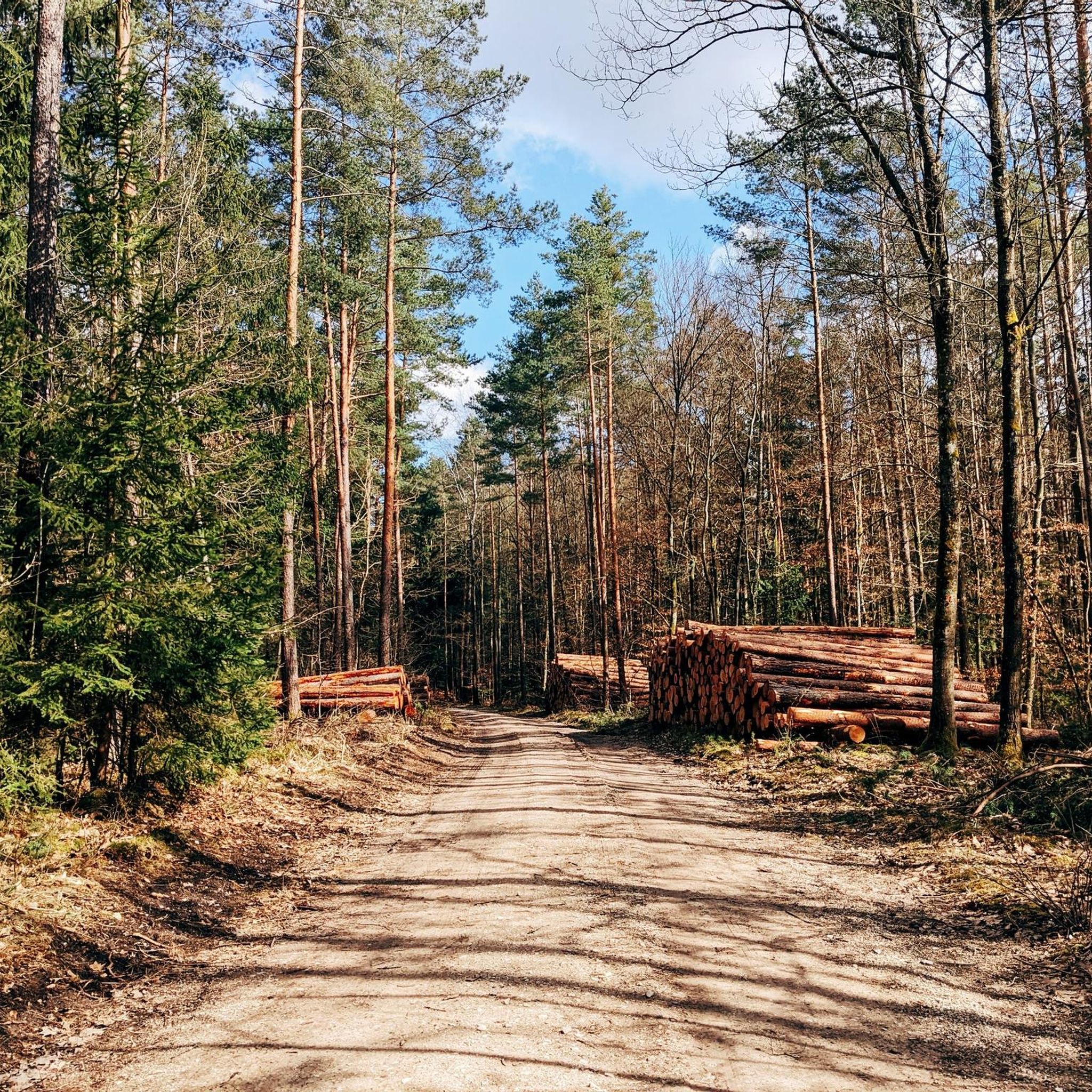
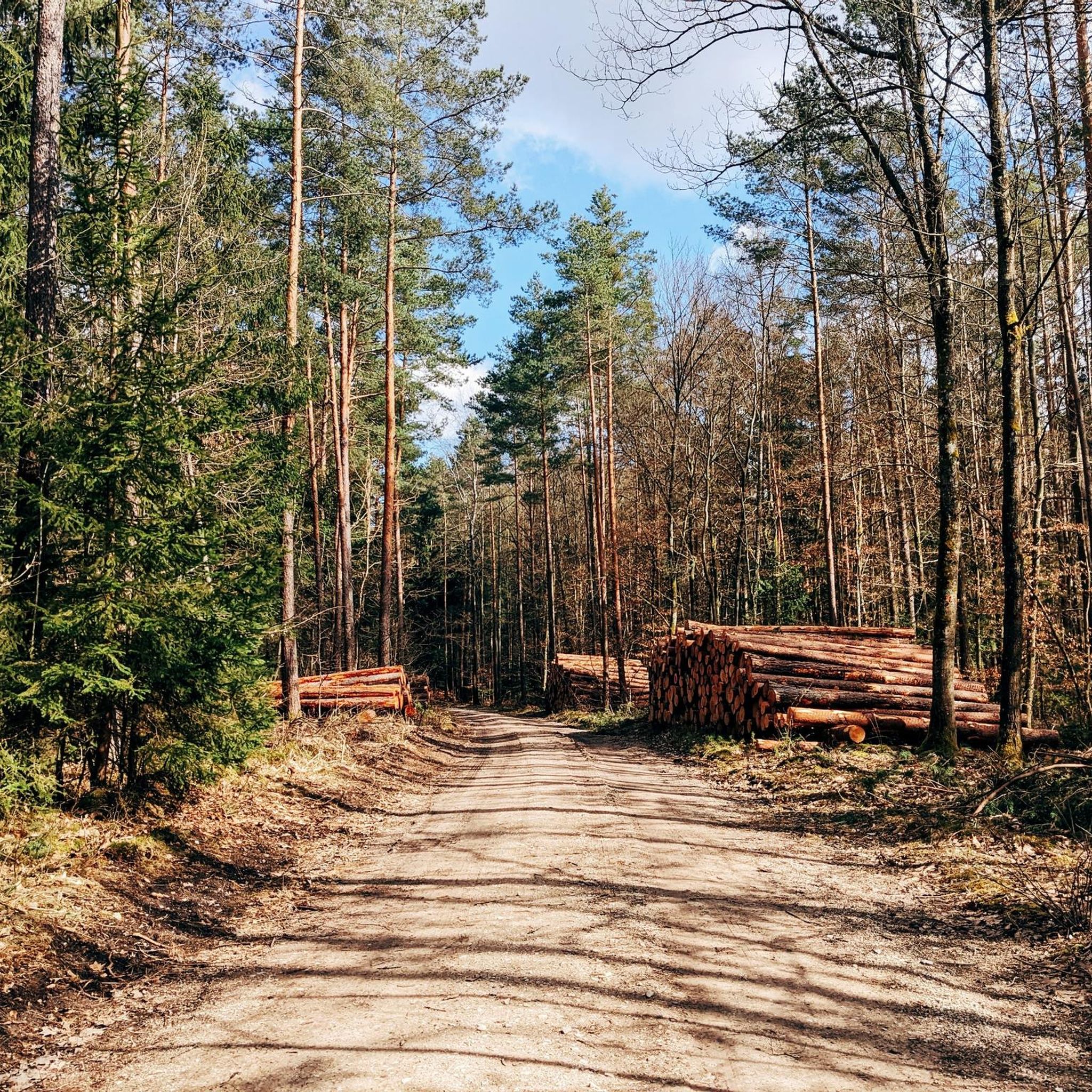
Tips from the Community

The Biergarten Schleuse 35 is idyllically located on the Alten Kanal and has outdoor seating. It is also recommended because it is only a few hundred meters from the Burgthann S-Bahn station. This means you can travel back and forth conveniently without a car.
0
0

The Ludwig Canal (Ludwig-Donau-Main-Kanal, also called Ludwigskanal or regionally "Alter Kanal") was a 172.4 km long waterway in the 19th and 20th centuries between the Danube near Kelheim and the Main near Bamberg. In a broader sense, the canal, built between 1836 and 1846, was part of a navigable connection between the North Sea near Rotterdam and the Black Sea near Constanța. By crossing the European main watershed, the ambitious construction project held a special position. 100 locks, partly in the rivers Altmühl and Regnitz, overcame a total difference in altitude of 264 meters (80 m ascent from the Danube and 184 m descent to the Main). The successor to the canal, which was abandoned in 1950, is the Main-Danube Canal, built from 1960 to 1992.
3
0

Unfortunately, the path has been partially renovated with coarse gravel (for agriculture) and is an annoyance for cyclists in the beautiful landscape
1
0

Gigantic canal construction by King Ludwig. Through nature along the canal. You can see pike, carp, ducks and the occasional swan. Beer gardens directly on the canal for refreshments are our recommendation.
0
0

The path is partly paved, but mostly gravel.
1
0

It's always nice to drive that way.
0
0

One of my favorite natural areas in Nuremberg. It's easily accessible from the city, making it perfect for spontaneous evening strolls.
1
0

Definitely cycle along the canal. You are only in nature
0
0
Frequently Asked Questions
How many gravel bike trails are available in Feuchter Forst?
Feuchter Forst offers a wide selection of gravel bike trails, with over 380 routes available. These routes cater to various skill levels, including 94 easy, 214 moderate, and 72 challenging options.
Are there easy gravel bike trails suitable for beginners in Feuchter Forst?
Yes, Feuchter Forst has a good selection of easy gravel bike trails, with 94 routes specifically categorized as easy. A great option for beginners is the Ludwig-Danube-Main Canal – Ludwig-Danube-Main Canal loop from Feucht Ost, an easy 15.8-mile (25.5 km) loop that follows historic canal paths.
What kind of scenery can I expect on gravel bike trails in Feuchter Forst?
The region is characterized by extensive woodlands, historic canal paths, and scenic lake views. Many routes offer a mix of dense forested sections and open vistas. For waterside scenery, consider the View of the Rothsee with its marina – View of the Seezunge (Rothsee) loop from Ochenbruck, which features extensive sections along the Rothsee.
Are there any long-distance gravel biking routes in Feuchter Forst?
Yes, Feuchter Forst offers several longer routes for gravel bikers. For example, the View of the Rothsee with its marina – View of the Seezunge (Rothsee) loop from Ochenbruck is a moderate 34.9-mile (56.1 km) path, and the Birkensee – Birkensee Beach loop from Feucht-Moosbach covers 33.4 miles (53.7 km).
What are some interesting natural attractions or landmarks near the gravel trails?
The area around Feuchter Forst is rich in natural beauty. You can explore highlights like the Schwarzach Gorge (Schwarzachklamm), or discover unique geological formations such as Karl's Cave and Gustav Adolf Cave. There are also several waterfalls, including the Teufelskirche (Devil’s Church) — Waterfall and Cave.
Are there any family-friendly gravel biking routes in Feuchter Forst?
Many of the easy and moderate routes in Feuchter Forst are suitable for families, especially those following the historic canal paths which tend to have gentler gradients. The Ludwig-Danube-Main Canal – Ludwig-Danube-Main Canal loop from Feucht Ost is an easy, relatively flat option that families might enjoy.
What do other gravel bikers enjoy most about Feuchter Forst?
The gravel biking routes in Feuchter Forst are highly rated by the komoot community, with an average score of 4.5 stars from over 500 reviews. Riders often praise the varied terrain, the extensive woodlands, and the scenic sections along the historic canal paths and lakes.
Are there circular gravel bike routes available in Feuchter Forst?
Yes, many of the gravel bike trails in Feuchter Forst are designed as circular routes, allowing you to start and end at the same point. Examples include the popular Ludwig-Danube-Main Canal – View of Burg Thann loop from Feucht Ost and the Ludwig-Danube-Main Canal – Ludwig-Danube-Main Canal loop from Feucht Ost.
When is the best time of year to go gravel biking in Feuchter Forst?
Gravel biking in Feuchter Forst is enjoyable throughout much of the year. Spring and autumn offer pleasant temperatures and beautiful foliage. Summer is also popular, though some trails might be busier. While winter riding is possible, be prepared for colder temperatures and potentially muddy or icy conditions, especially in shaded forest sections.
How can I access Feuchter Forst gravel trails using public transport?
Feucht Ost is a common starting point for many routes, and it is accessible by public transport. You can reach Feucht by regional train or S-Bahn from Nuremberg, making it convenient to start your gravel biking adventure without a car.
Where can I find parking for gravel biking in Feuchter Forst?
Many routes start from towns like Feucht Ost or Ochenbruck, where public parking is generally available. Look for designated parking areas near train stations or trailheads in these communities to begin your ride.
Are there challenging gravel bike trails for experienced riders?
Yes, for experienced riders seeking a challenge, Feuchter Forst offers 72 difficult routes. These trails may feature more significant elevation changes and technical sections. While specific challenging routes are not detailed here, komoot's route planner can help you find them.
Most popular attractions around Feuchter Forst

Get inspired with the komoot mobile app


Explore more
Browse the best Gravel rides in other regions.
