The best gravel rides around Neukirchen-Vluyn
4.4
(186)
687
riders
53
rides
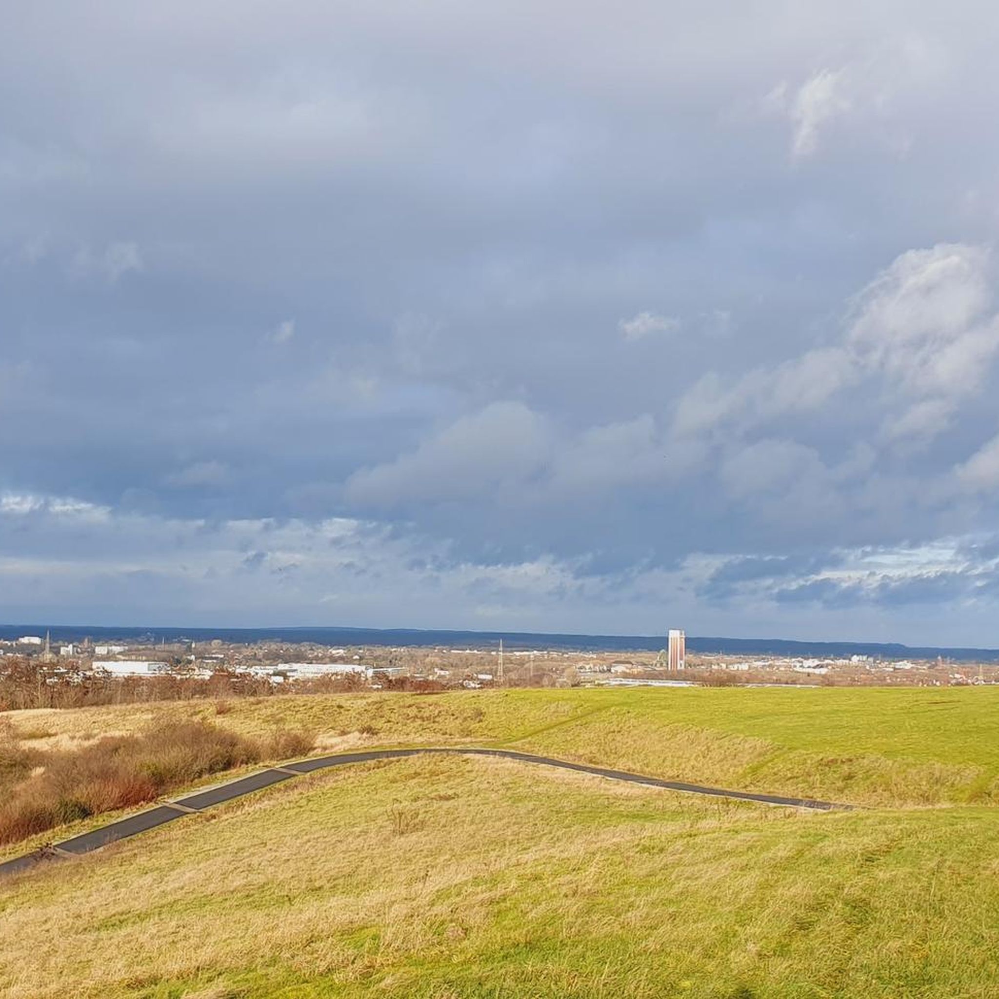
Gravel biking around Neukirchen-Vluyn offers a network of routes through varied terrain. The region features a mix of forest paths, open landscapes, and former industrial areas repurposed for recreation. Elevation changes are generally moderate, with some routes incorporating spoil heaps that provide higher viewpoints. The area's trails are suitable for exploring on a gravel bike.
Best gravel bike trails around Neukirchen-Vluyn
- The most popular gravel bike trail is Nierskanal – Forest Path in Kerkener Bruch loop from Nieper Altrheinrinne,…
Last updated: October 20, 2026
4.3
(7)
38
riders
80.3km
04:19
170m
170m
Moderate gravel ride. Good fitness required. Mostly paved surfaces. Suitable for all skill levels.
18
riders
Hard gravel ride. Good fitness required. You may need to push your bike for some segments of this route.

4.7
(11)
15
riders
25.0km
01:24
130m
130m
Easy gravel ride. Great for any fitness level. Mostly paved surfaces. Suitable for all skill levels.
4.2
(18)
16
riders
18.1km
00:56
40m
40m
Easy gravel ride. Great for any fitness level. Mostly paved surfaces. Suitable for all skill levels.
14
riders
48.1km
02:33
150m
150m
Moderate gravel ride. Good fitness required. Mostly paved surfaces. Suitable for all skill levels.
Get access to more routes and recommendations from other explorers.
Already have an account?
Our route recommendations are based on thousands of hikes, rides, and runs completed by other people on komoot.
Start today with a free account
Your next adventure awaits.
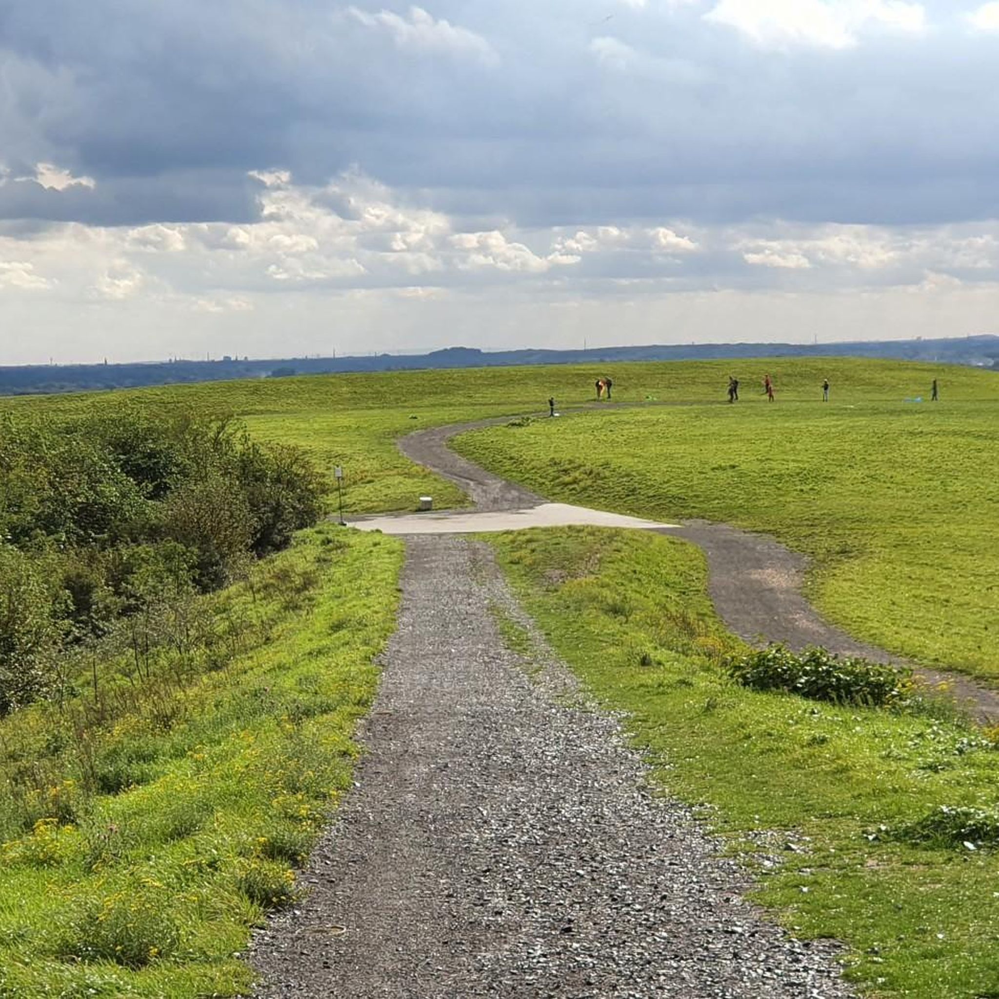
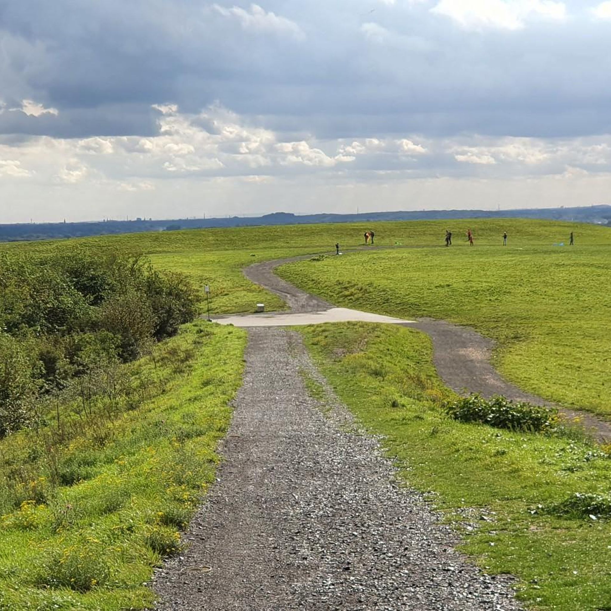
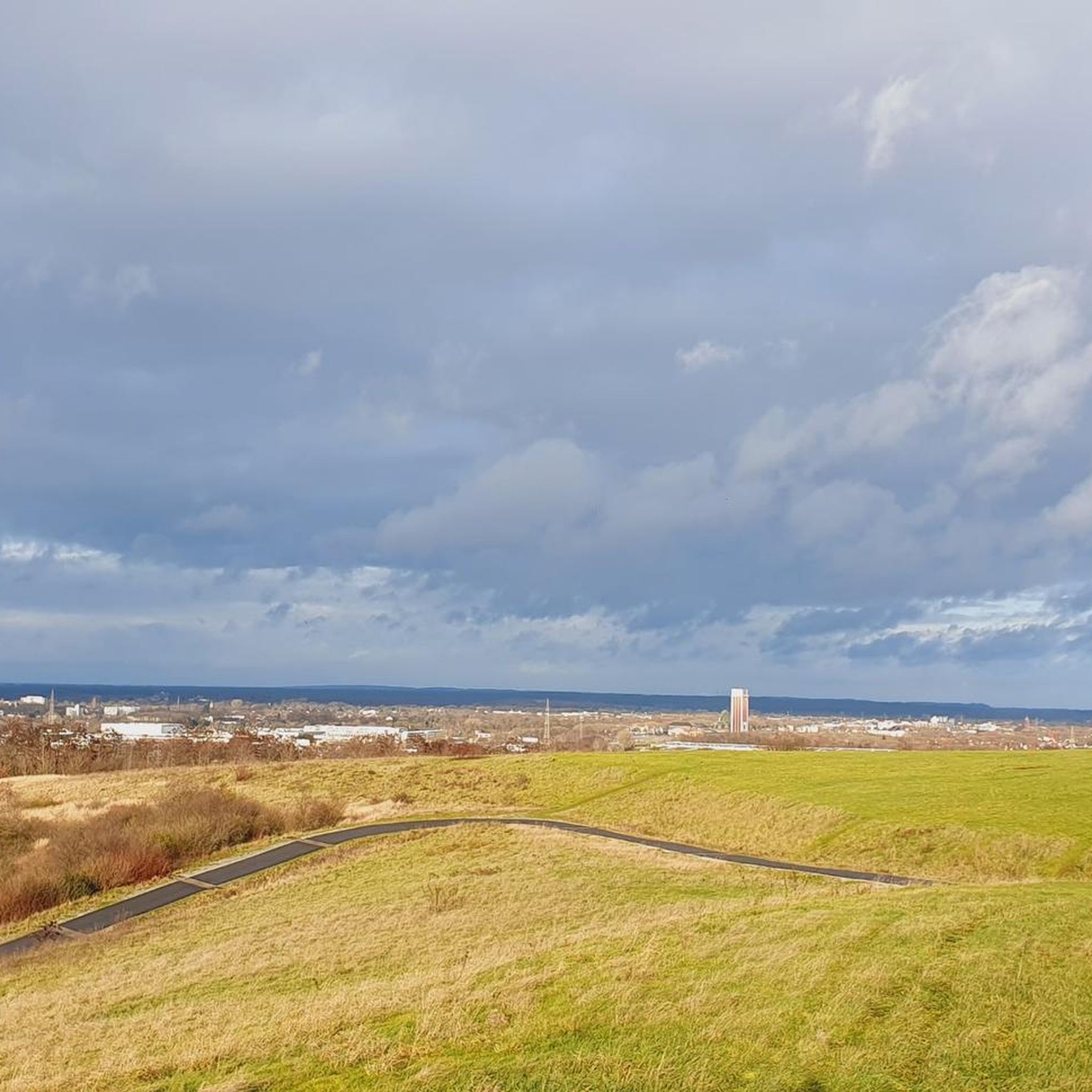
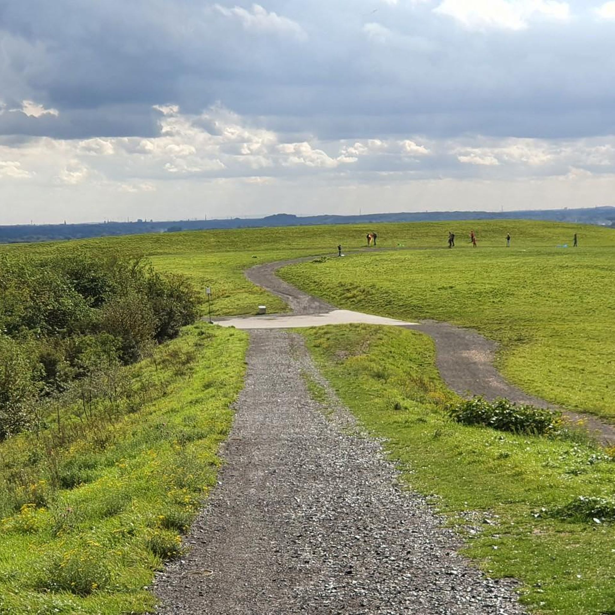
Tips from the Community

Scenically beautiful with some gravel sections.
0
0

Very fitting landmark and great views
0
0

Forest path, dry and easy to ride!
0
0

Whoever works here can find their peace of mind.
0
0

Beautiful place with a pleasant view
2
0

The ascent to the Geleucht is worth it. You will be rewarded with a great view.
2
0
A beautiful, paved farm track - with a view - around the Wolfsberg to an estate in Tönisberg.
1
0

The end of the tour from Schaephuysen to Aldekerk is missing. Approx. 4 km
0
0
Frequently Asked Questions
How many gravel bike trails are available in Neukirchen-Vluyn?
There are over 175 gravel bike trails around Neukirchen-Vluyn, offering a wide variety of options for different skill levels and preferences.
What kind of terrain can I expect on gravel bike trails around Neukirchen-Vluyn?
The region features a diverse mix of terrain, including forest paths, open landscapes, and former industrial areas that have been repurposed for recreation. You'll also encounter some routes that incorporate spoil heaps, providing elevated viewpoints.
Are there gravel bike trails suitable for beginners in Neukirchen-Vluyn?
Yes, Neukirchen-Vluyn offers a good selection of easier routes. For example, the Lithardtsche Kuhlen – Beautiful cycling and hiking trail loop from Neukirchen-Vluyn is an easy 15.5-mile (25.0 km) trail that takes about 1 hour 45 minutes to complete.
Are there challenging gravel bike routes for experienced riders?
Absolutely. For those seeking a more demanding ride, routes like the Summit Cross Pattberg Spoil Heap – Waldsee Baerl loop from Rheurdt offer significant ascents and panoramic views. This route is 28.1 miles (45.2 km) and considered difficult.
Can I find circular gravel bike routes in Neukirchen-Vluyn?
Many of the gravel bike routes in Neukirchen-Vluyn are designed as loops, allowing you to start and finish at the same point. The Red Fabric Bicycle Shelter loop from Halde Norddeutschland is a great example of a moderate 10-mile (16.1 km) circular route.
What interesting sights or viewpoints can I discover along the gravel bike trails?
Many routes offer scenic views, especially from the spoil heaps. You can also explore nearby attractions such as the Walsum–Orsoy Rhine Ferry or enjoy the tranquility of the Baerler Busch Forest Lake. The View of the Rhine and A42 bridges near Duisburg also offers a notable vista.
What is the typical duration for gravel bike rides in the area?
Ride durations vary significantly depending on the route and your pace. You can find shorter rides, like the 1 hour 45 minute Lithardtsche Kuhlen loop, or longer excursions such as the 4 hour 16 minute Nierskanal – Forest Path in Kerkener Bruch loop.
When is the best time of year for gravel biking in Neukirchen-Vluyn?
Spring and autumn generally offer the most pleasant conditions for gravel biking in Neukirchen-Vluyn, with mild temperatures and beautiful scenery. Summer can be enjoyable, but be prepared for warmer weather. Winter riding is possible, but trails might be muddy or icy, especially in shaded forest sections.
Are the gravel bike trails in Neukirchen-Vluyn suitable for families?
Yes, many of the easier and moderate routes are suitable for families, especially those with some cycling experience. Look for trails with less elevation gain and smoother surfaces. The Lithardtsche Kuhlen loop is a good option for a family-friendly outing.
Are there places to stop for refreshments or cafes along the routes?
While specific cafes are not always directly on every trail, Neukirchen-Vluyn and its surrounding towns offer various opportunities for refreshments. Many routes pass near or through populated areas where you can find cafes, bakeries, or restaurants to refuel.
What do other gravel bikers say about the trails in Neukirchen-Vluyn?
The gravel biking routes in Neukirchen-Vluyn are highly regarded by the komoot community, with an average rating of 4.6 stars from over 210 reviews. Riders often praise the varied terrain, well-maintained paths, and the unique combination of natural landscapes and repurposed industrial sites.
Are there gravel bike trails with good parking options in Neukirchen-Vluyn?
Many of the gravel bike routes in the Neukirchen-Vluyn area start from locations with accessible parking. For instance, the Friedrich Heinrich Colliery Park loop starts from Kamp-Lintfort Süd, which typically offers parking facilities near trailheads or public spaces.
Most popular routes around Neukirchen-Vluyn
Most popular attractions around Neukirchen-Vluyn

Get inspired with the komoot mobile app


Explore more
Browse the best Gravel rides in other regions.
