The best gravel rides around Hamminkeln
4.5
(735)
3,132
riders
139
rides
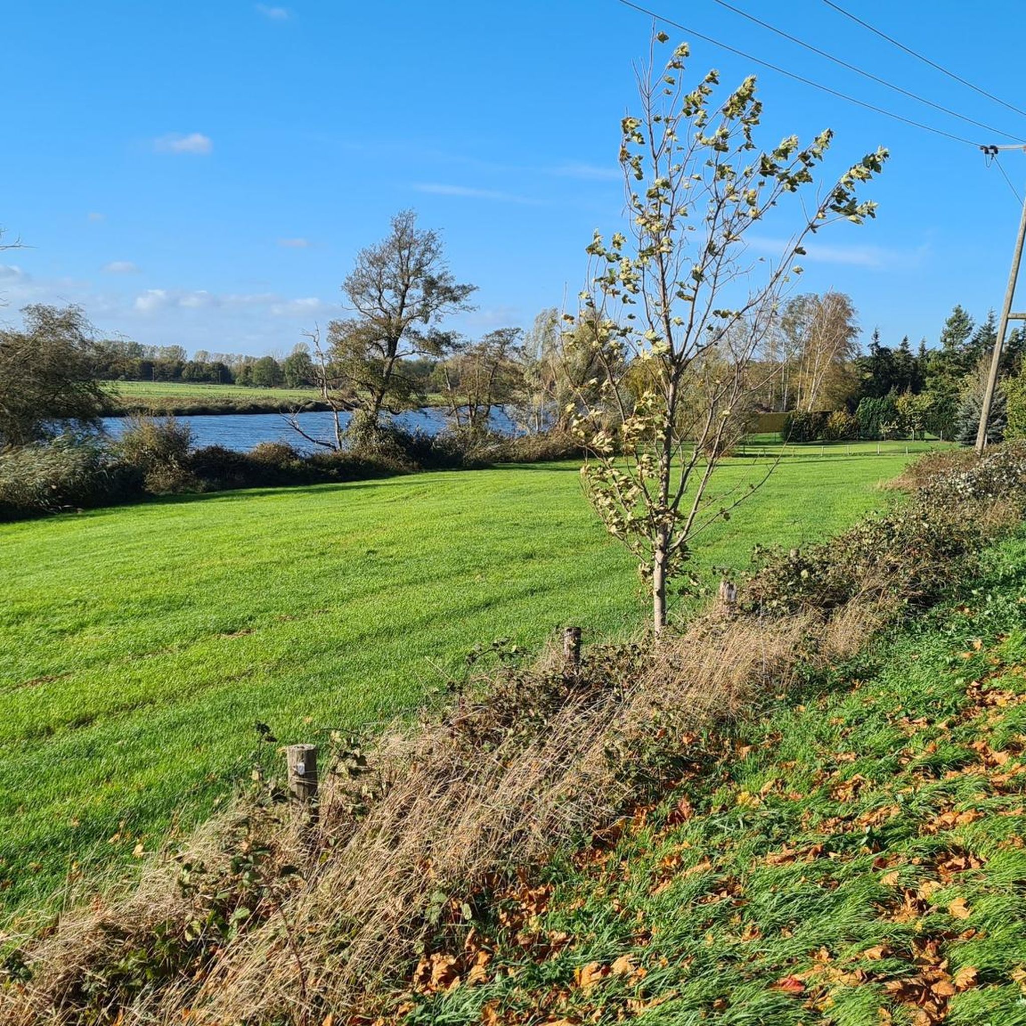
Gravel biking around Hamminkeln features routes through the Lower Rhine region, characterized by flat to gently rolling terrain, agricultural landscapes, and riverine environments. The area offers a network of paths suitable for gravel bikes, often following waterways and through open fields. Its varied terrain includes both paved and unpaved paths winding through forests, fields, and along rivers. Elevation changes are generally minimal, making it accessible for various skill levels and offering scenic gravel bike routes Hamminkeln.
Best gravel bike trails…
Last updated: October 19, 2026
4.5
(121)
306
riders
40.3km
02:11
90m
90m
Moderate gravel ride. Good fitness required. Mostly paved surfaces. Suitable for all skill levels.
4.8
(28)
125
riders
Hard gravel ride. Good fitness required. You may need to push your bike for some segments of this route.

4.7
(37)
176
riders
Moderate gravel ride. Good fitness required. Mostly paved surfaces. Suitable for all skill levels.
5.0
(9)
63
riders
65.6km
03:45
90m
90m
Moderate gravel ride. Good fitness required. Mostly paved surfaces. Suitable for all skill levels.
4.6
(5)
53
riders
86.4km
05:02
100m
100m
Hard gravel ride. Very good fitness required. Mostly paved surfaces. Suitable for all skill levels.
Get access to more routes and recommendations from other explorers.
Already have an account?
Our route recommendations are based on thousands of hikes, rides, and runs completed by other people on komoot.
Start today with a free account
Your next adventure awaits.
Popular around Hamminkeln
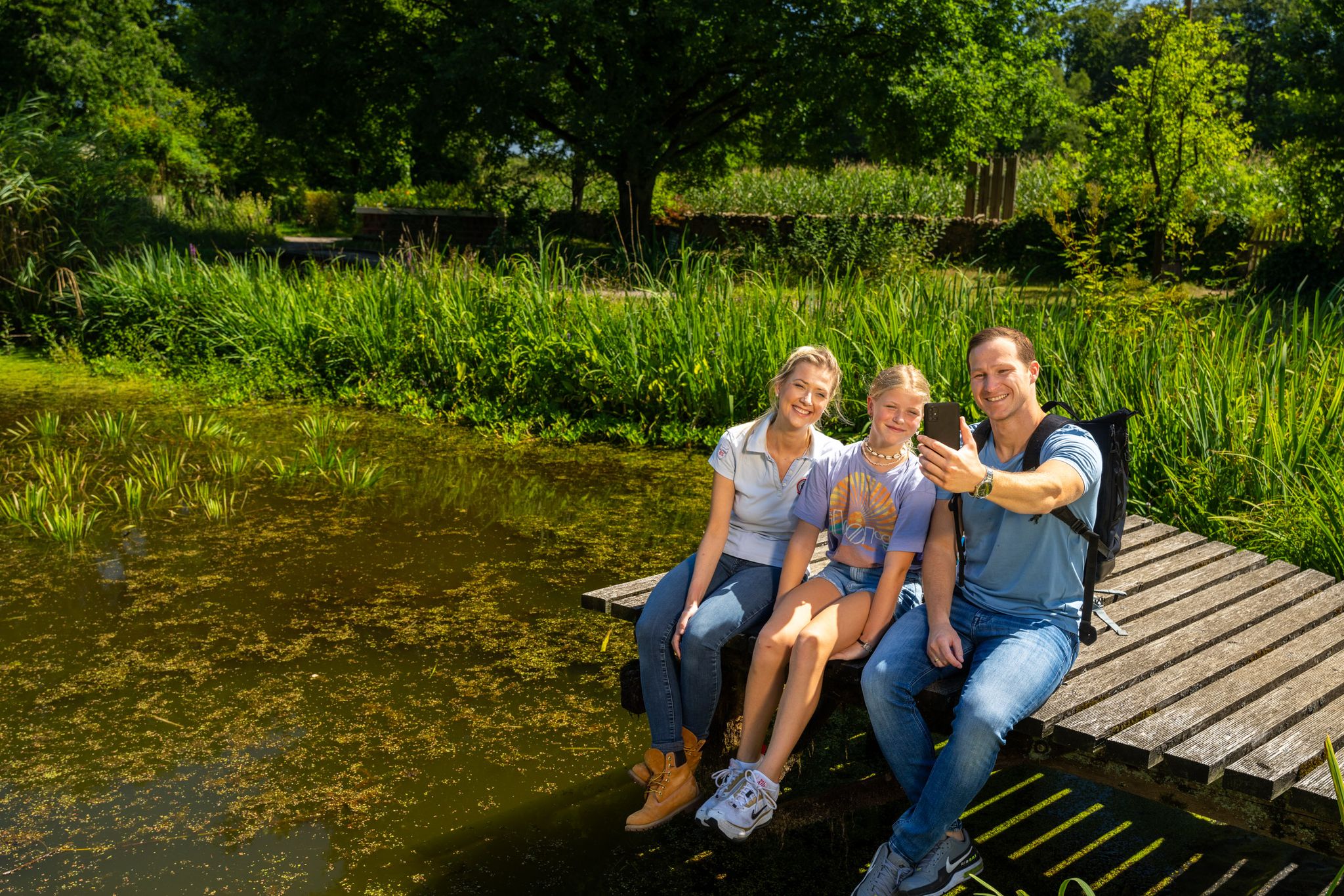
Hiking and discoveries – family walks in the Hohe Mark Nature Park
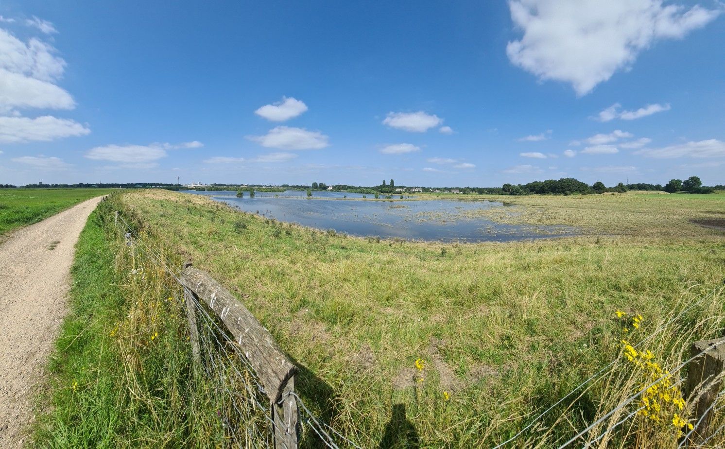
The way is the goal – Lower Rhein Route
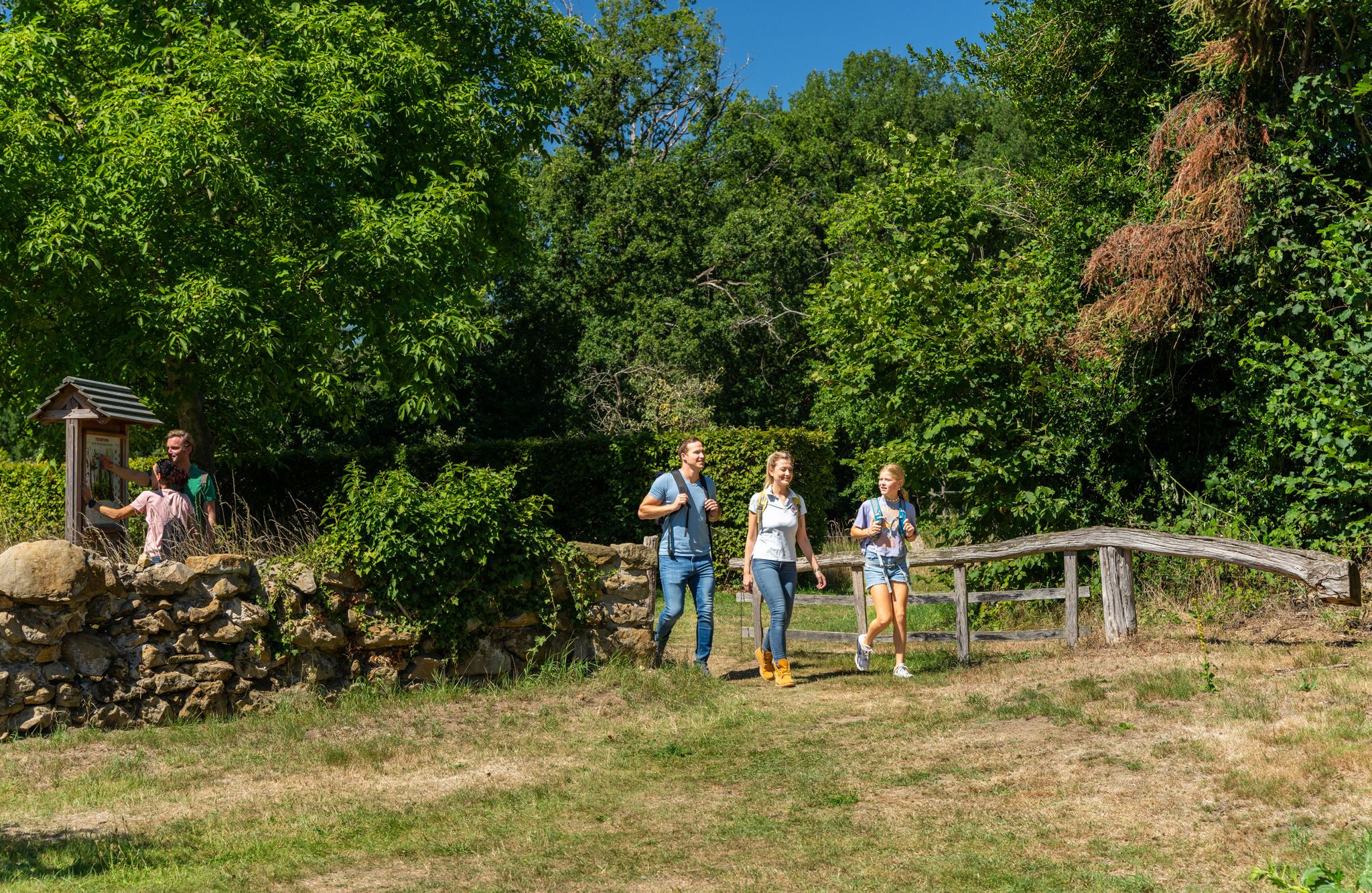
LandStreifer – circular hiking trails to Germany’s Hohe Mark Steig
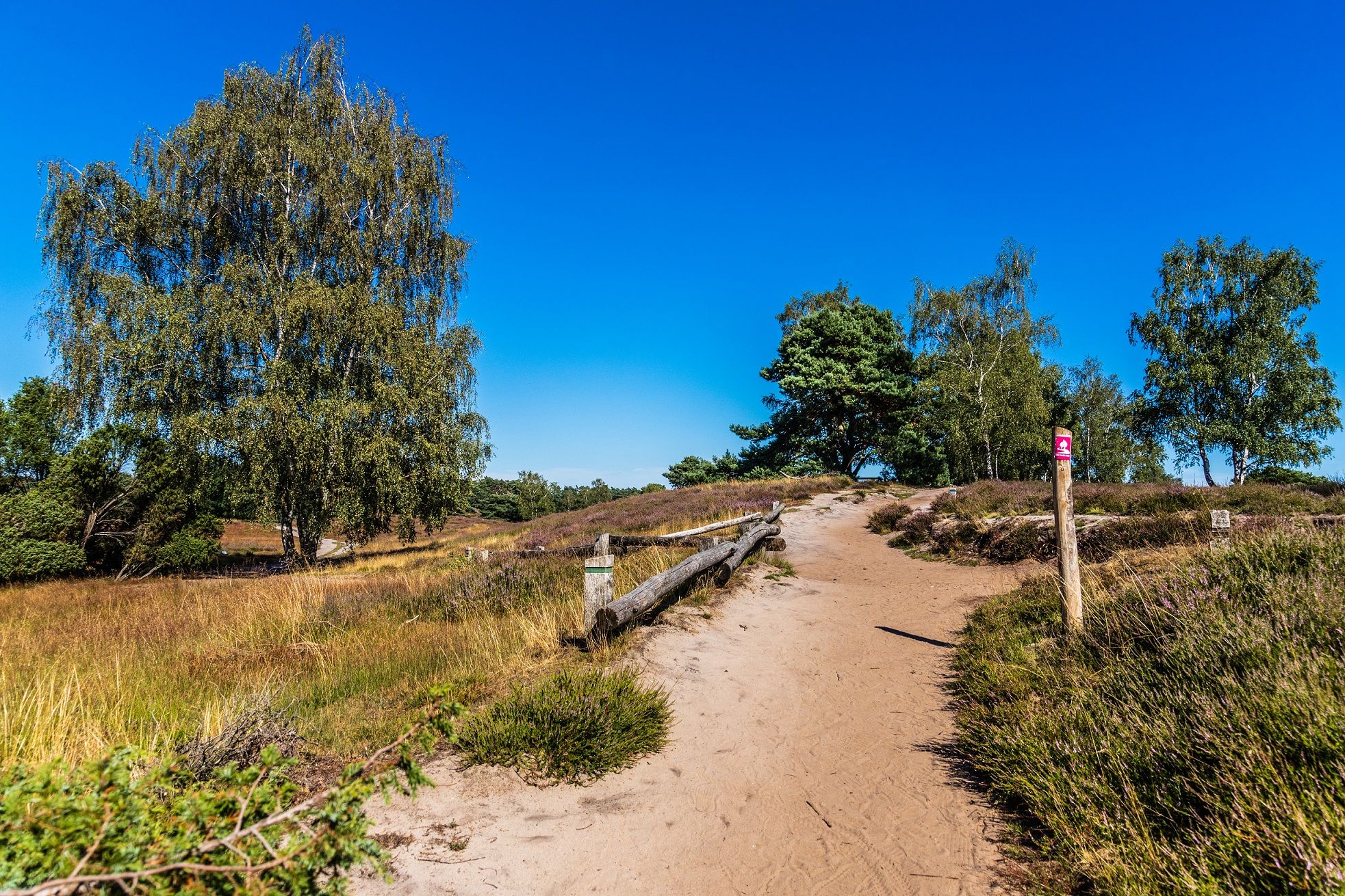
Your bond with nature — Germany’s Hohe Mark Steig
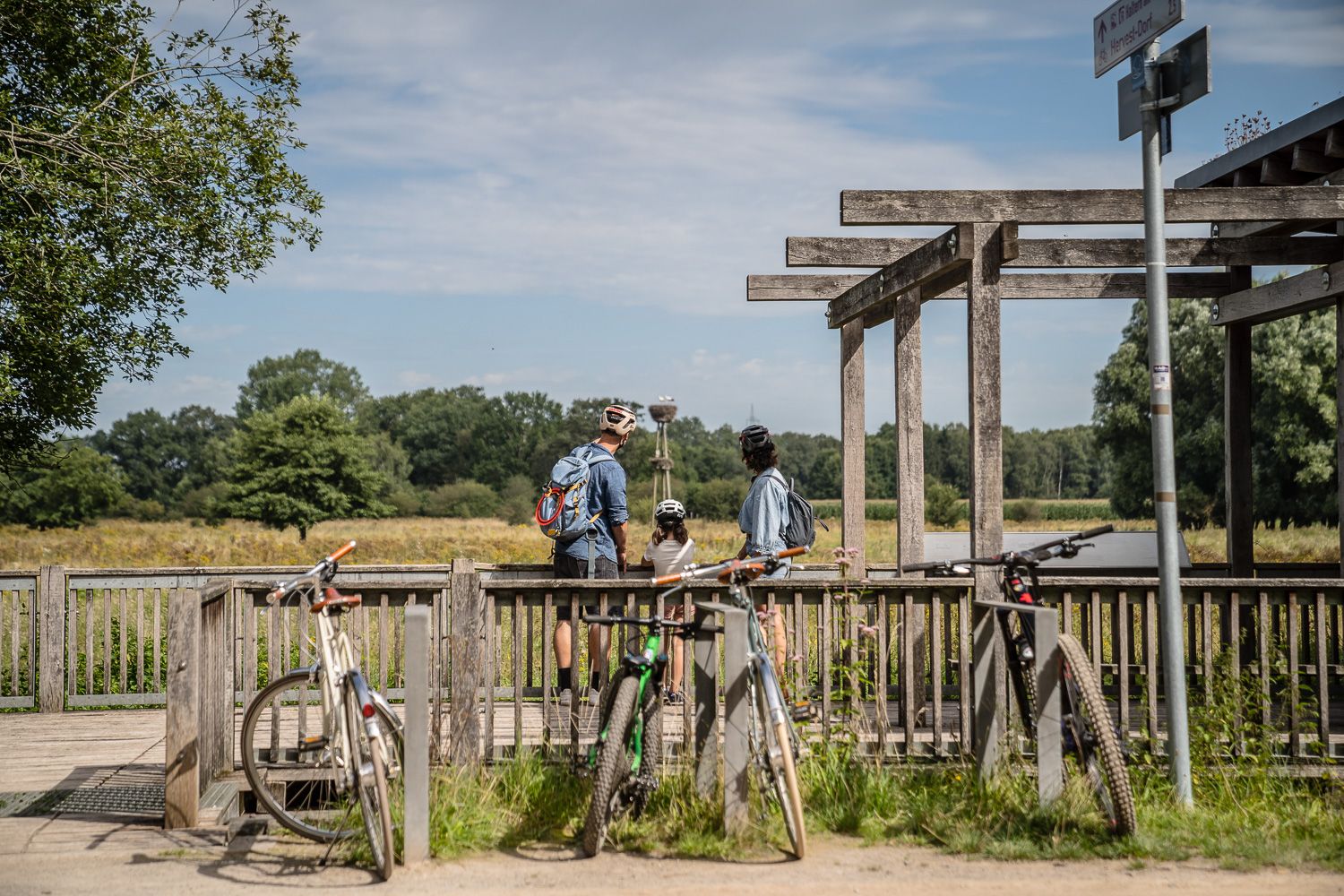
Day Tours on the Hohe Mark cycle route
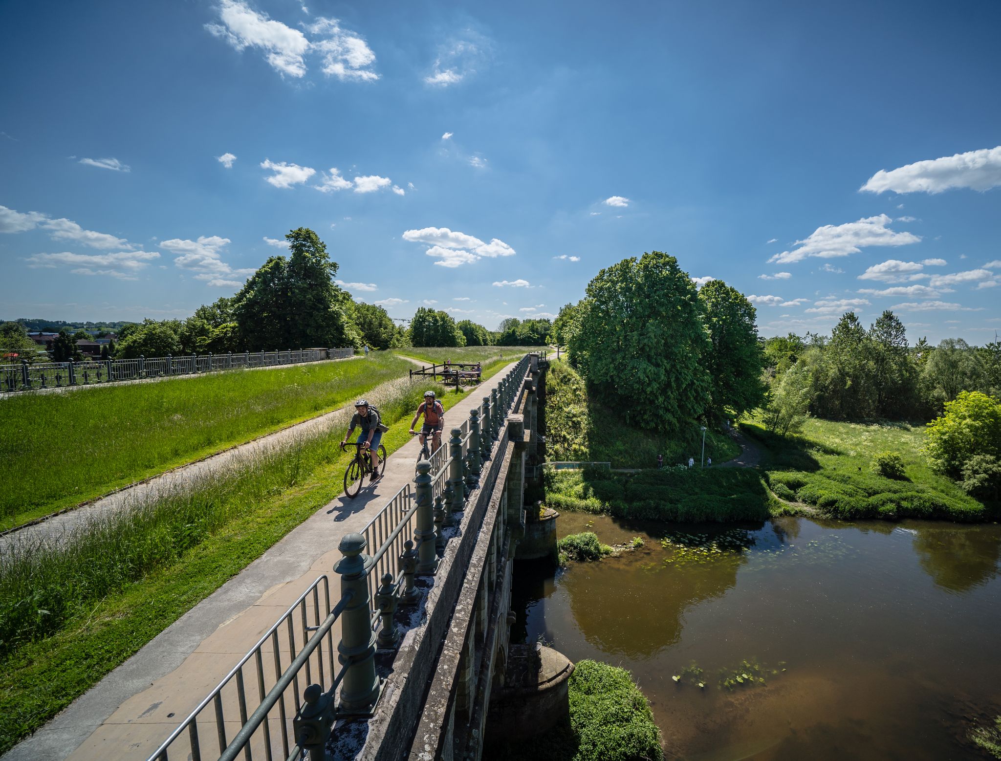
Germany’s Hohe Mark cycle route – escape into nature
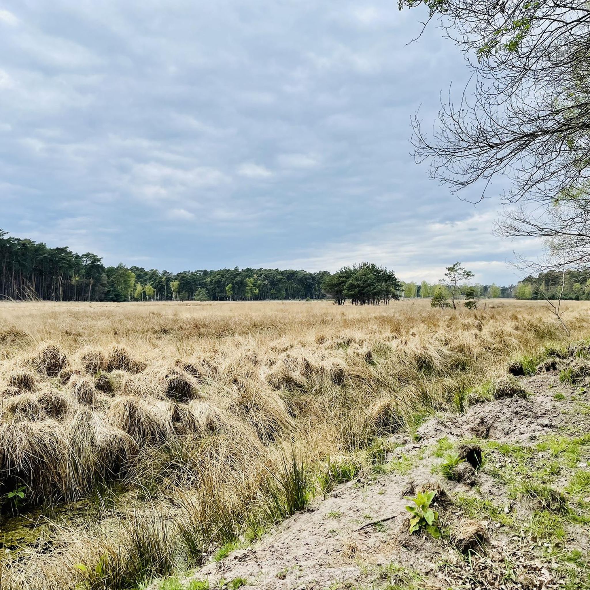
Hiking around Hamminkeln
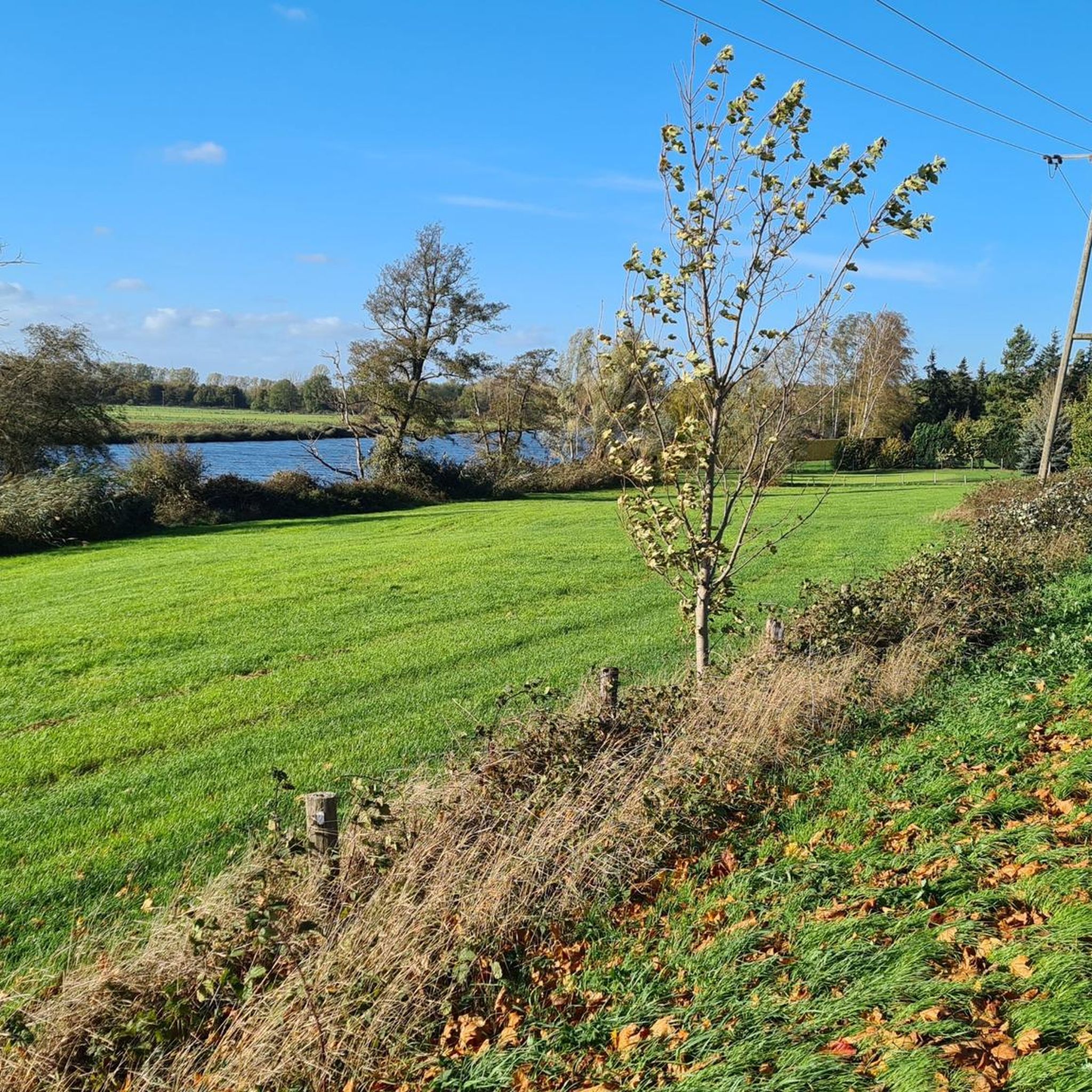
Cycling around Hamminkeln
Road Cycling Routes around Hamminkeln
Running Trails around Hamminkeln
Other adventures around Hamminkeln


Tips from the Community

Quiet for cycling and relaxing.
1
0

Super-easy-to-ride path along the Bocholter Aa. A bit dusty in dry weather.
0
0

Bistro Jeanne La Rouge at km 21 - quietly and shaded located, nice ambiance inside and out and delicious dishes
0
0
Great trail, with beautiful motifs along the Aa.
2
0

On the northeast shore of the Aasee lies an island and a large playground, on the east shore the bathing bay and the beach café (formerly Ottilie). In the southwest of the lake lies the surfer bay and a small bird sanctuary island, in the northwest the boat landing stage and a hill with a barbecue area and shelter, and at the very end in the north of the lake the Jonas, a water fountain, the newly designed Aasee terraces with the R-Café (to follow in 2026). A footpath and a separate cycle path run around the complete lake. It is wonderful to walk around the lake, but on weekends, when the weather is nice, it can get quite crowded.
4
0

A very beautiful path. Very easy to cycle.
4
0

The footpath/cycle path runs along the Bocholter Aa river. Long stretches are shaded by trees and bushes.
1
0
Frequently Asked Questions
What kind of terrain can I expect on gravel bike trails around Hamminkeln?
The gravel bike trails around Hamminkeln are primarily characterized by flat to gently rolling terrain. You'll ride through agricultural landscapes and along riverine environments, with minimal elevation changes, making the area accessible for various skill levels.
Are there easy or beginner-friendly gravel bike trails in Hamminkeln?
Yes, Hamminkeln offers a good selection of easy gravel bike trails. Out of over 280 routes, about 75 are rated as easy. A great option for beginners is the View from the Aa Bridge loop from Mussum, an easy 15.3-mile (24.6 km) path offering pleasant views of the Aa river.
Can I find long-distance gravel routes near Hamminkeln?
Absolutely. For those seeking longer rides, Hamminkeln provides several options. The Beautiful cycle path – Bredevoort Book Town loop from Ringenberg is a challenging 83.8-mile (134.9 km) trail that takes you through varied landscapes and connects to Bredevoort.
What are some scenic highlights or viewpoints along the gravel routes?
Many routes offer scenic views, particularly along the rivers and through the countryside. You can enjoy views of the Aa river on routes like the View from the Aa Bridge loop from Mussum. For broader vistas, consider routes that pass near the Rhine dike on the Old Rhine, Reeser Eyland (Highlight).
Are there any interesting landmarks or attractions to see while gravel biking?
Yes, the region around Hamminkeln is rich in history and natural beauty. You can explore the Historic old town of Xanten, visit impressive structures like Raesfeld Castle, or experience nature at the Bislicher Insel Nature Reserve. The View of Xanten Cathedral – View of the Rhine near Bislich loop from Hamminkeln passes by some of these points of interest.
What is the best time of year for gravel biking in Hamminkeln?
The Lower Rhine region is generally pleasant for gravel biking from spring through autumn. The flat terrain means routes are less affected by snow and ice than mountainous areas, but spring and summer offer the most comfortable temperatures and vibrant landscapes. Winter rides are possible, but be prepared for colder, potentially damp conditions.
Are there circular gravel bike routes available?
Most of the gravel bike routes in Hamminkeln are designed as loops, offering convenient circular journeys. Examples include the popular Bredevoort Book Town – Bocholter Aa loop from Dingden and the Wesel–Haltern Rail Trail – Old railroad line loop from Wesel-Feldmark.
What do other gravel bikers say about the trails in Hamminkeln?
The gravel biking routes in Hamminkeln are highly rated by the komoot community, with an average score of 4.5 stars from over 600 reviews. Riders often praise the well-maintained paths, the peaceful agricultural scenery, and the variety of routes suitable for different fitness levels.
Are there any routes that follow old railway lines?
Yes, you can experience riding on former railway lines. The Wesel–Haltern Rail Trail – Old railroad line loop from Wesel-Feldmark is a great example, offering a unique gravel biking experience along a historic path.
How many gravel bike trails are there in Hamminkeln?
There are over 280 gravel bike routes available in Hamminkeln, catering to a wide range of abilities. This includes approximately 75 easy routes, 140 moderate routes, and 70 more challenging options.
Is Hamminkeln suitable for family-friendly gravel biking?
Yes, the generally flat and gently rolling terrain of Hamminkeln makes it very suitable for family-friendly gravel biking. Many of the easy and moderate routes, often following quiet paths along rivers or through fields, are ideal for families with children.
Most popular routes around Hamminkeln
Most popular attractions around Hamminkeln

Get inspired with the komoot mobile app


Explore more
Browse the best Gravel rides in other regions.
