The best gravel rides around Blankenfelde-Mahlow
4.4
(16)
67
riders
8
rides
Gravel biking around Blankenfelde-Mahlow traverses a diverse landscape characterized by extensive cycling networks, waterways, and green spaces. The region features a mix of paved paths, natural forest tracks, and gravel sections, offering varied terrain. Riders can explore routes along the Teltow Canal and Notte Canal, through wetlands, and past historical sites. The area's relatively flat topography includes gentle elevation changes, making it accessible for different skill levels.
Best gravel bike trails around Blankenfelde-Mahlow
- The most popular gravel bike trail is…
Last updated: July 5, 2026
4.6
(8)
40
riders
Hard gravel ride. Good fitness required. You may need to push your bike for some segments of this route.
3.8
(5)
23
riders
Hard gravel ride. Good fitness required. You may need to push your bike for some segments of this route.

Sign up for free
4.5
(4)
8
riders
15.3km
00:58
30m
30m
Easy gravel ride. Great for any fitness level. Mostly paved surfaces. Suitable for all skill levels.
4.0
(1)
3
riders
Easy gravel ride. Great for any fitness level. Mostly paved surfaces. Suitable for all skill levels.
5.0
(1)
4
riders
85.1km
04:42
350m
350m
Moderate gravel ride. Good fitness required. Mostly paved surfaces. Suitable for all skill levels.
Get access to more routes and recommendations from other explorers.
Sign up for free
Already have an account?
Our route recommendations are based on thousands of hikes, rides, and runs completed by other people on komoot.
Start today with a free account
Your next adventure awaits.
Login or Signup
Popular around Blankenfelde-Mahlow
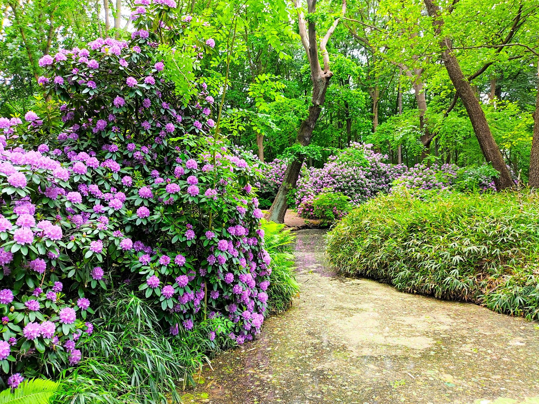
Spring splendour – out and about with the S-Bahn
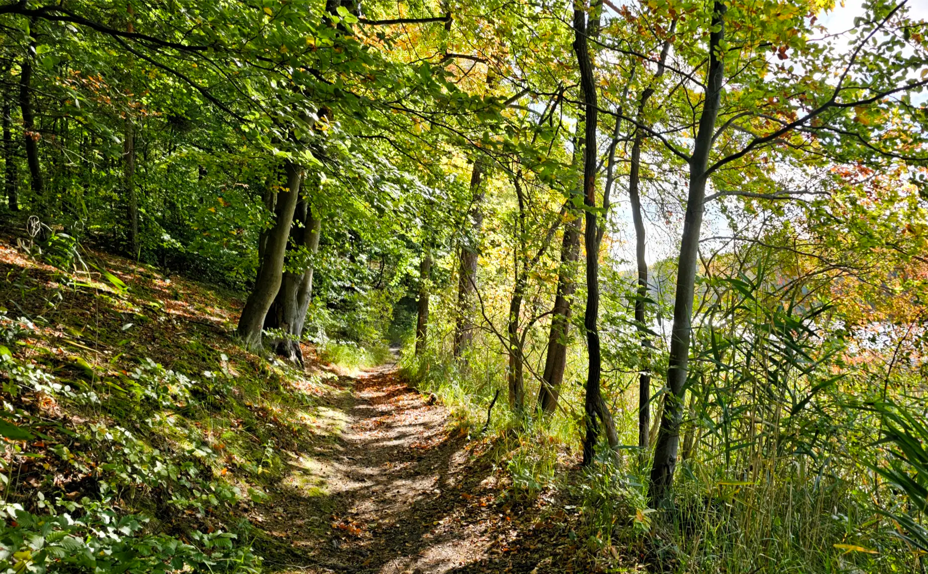
Oak, Beech, Pine & Co — S-Bahn forest tours in early fall
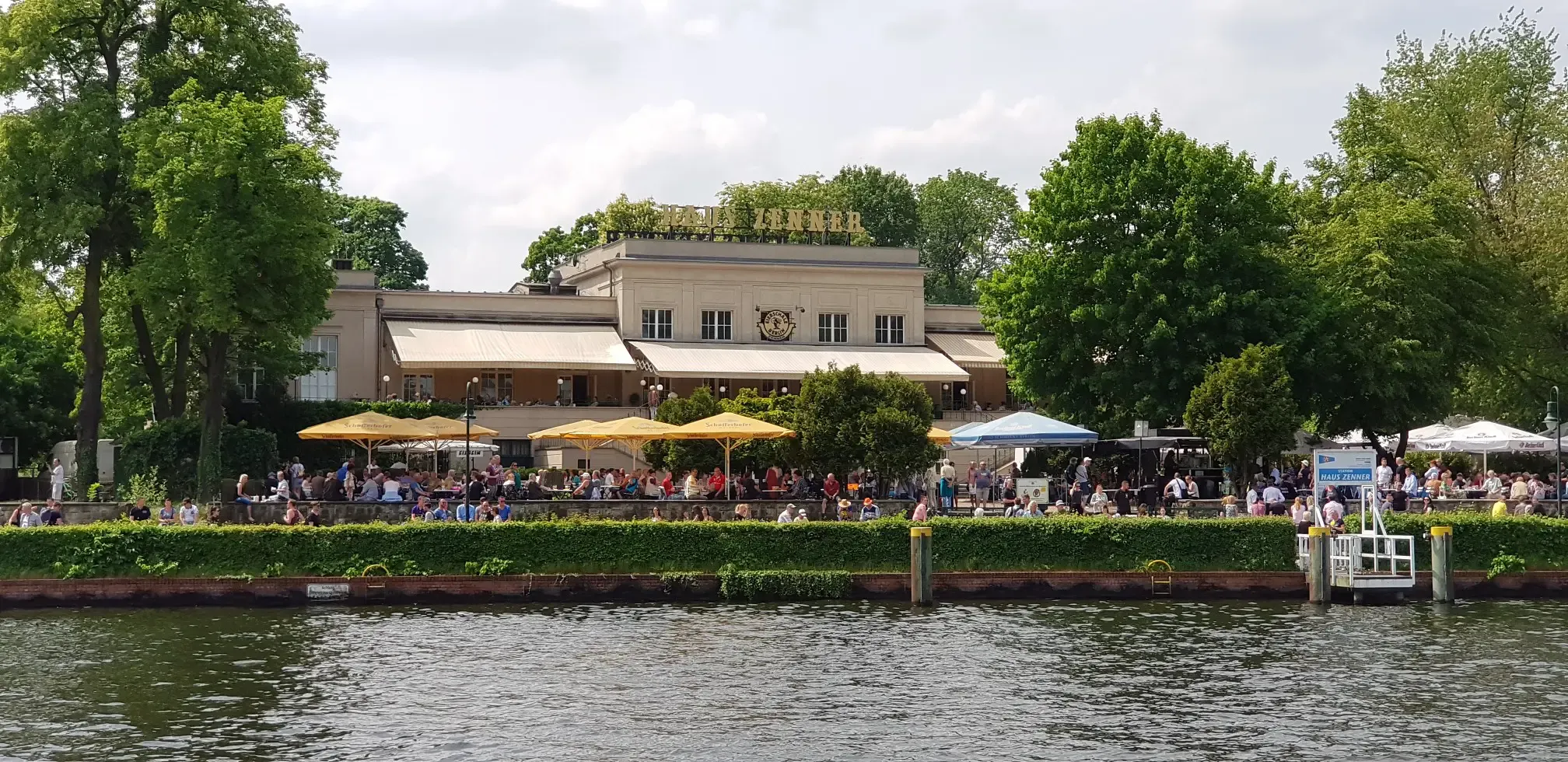
Discovering the best beer gardens in and around Berlin with the S-Bahn
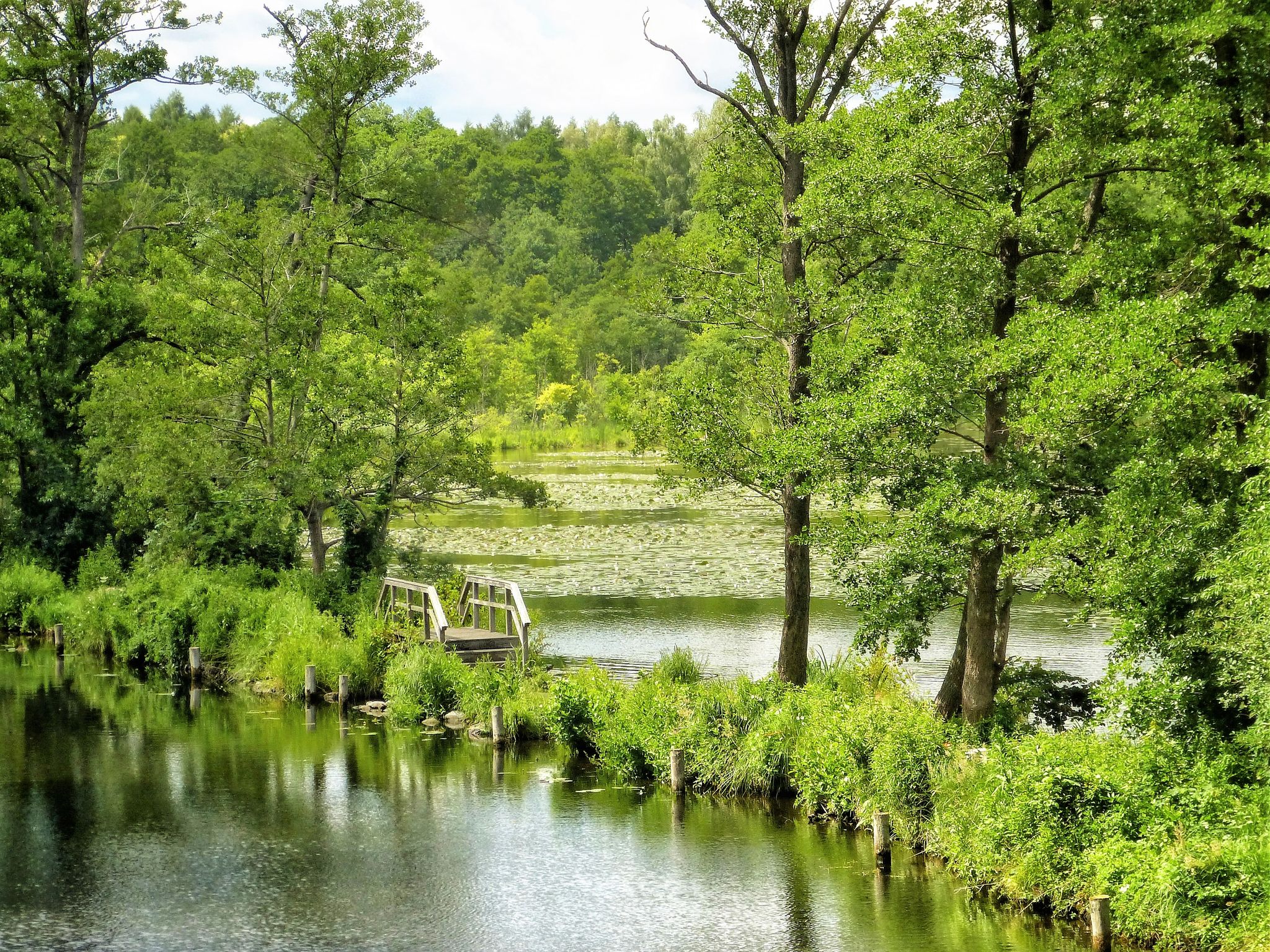
Flow – Follow Berlin’s streams with the S-Bahn
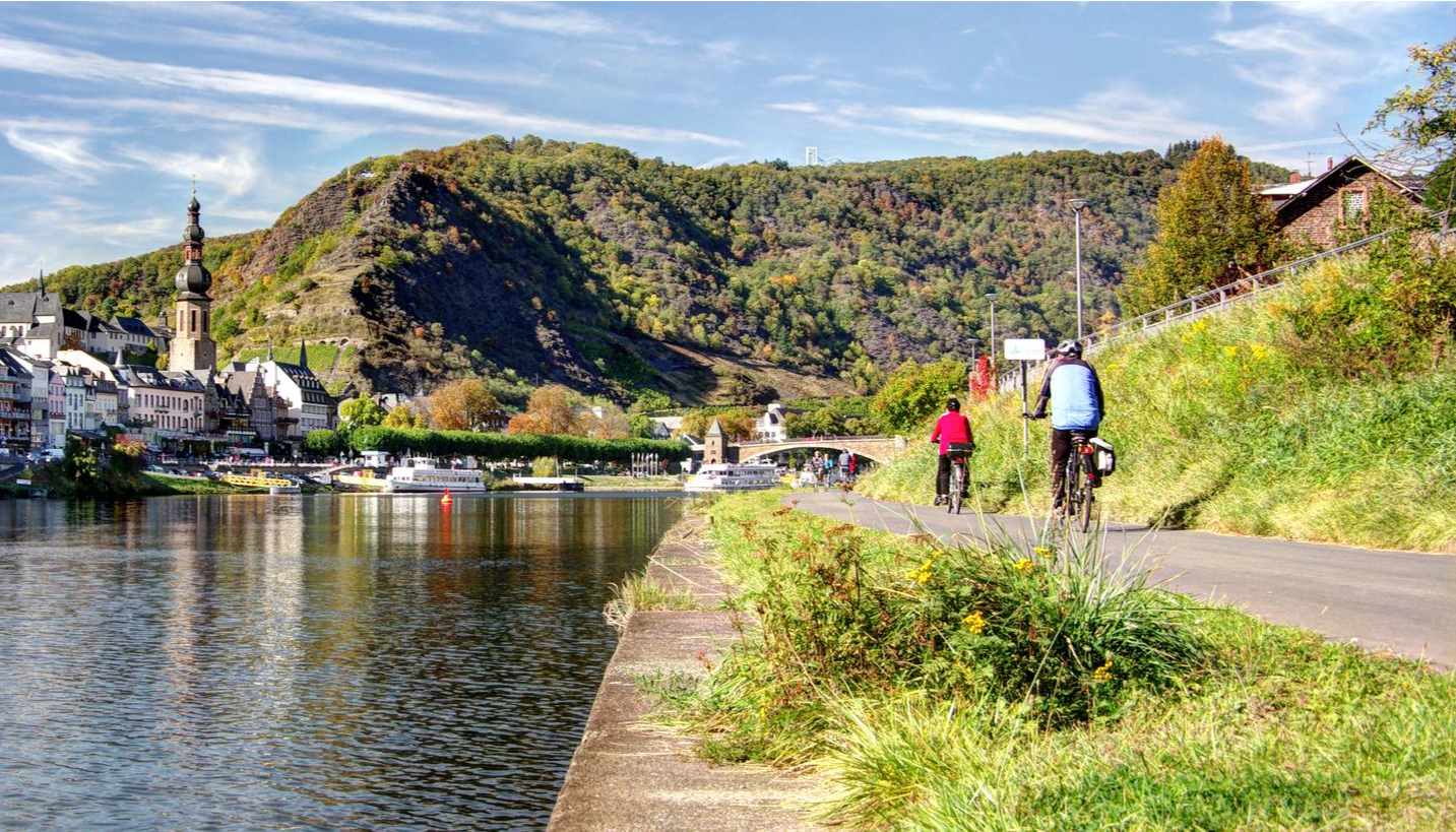
Mehrtagesradtouren in Deutschland und angrenzenden Ländern
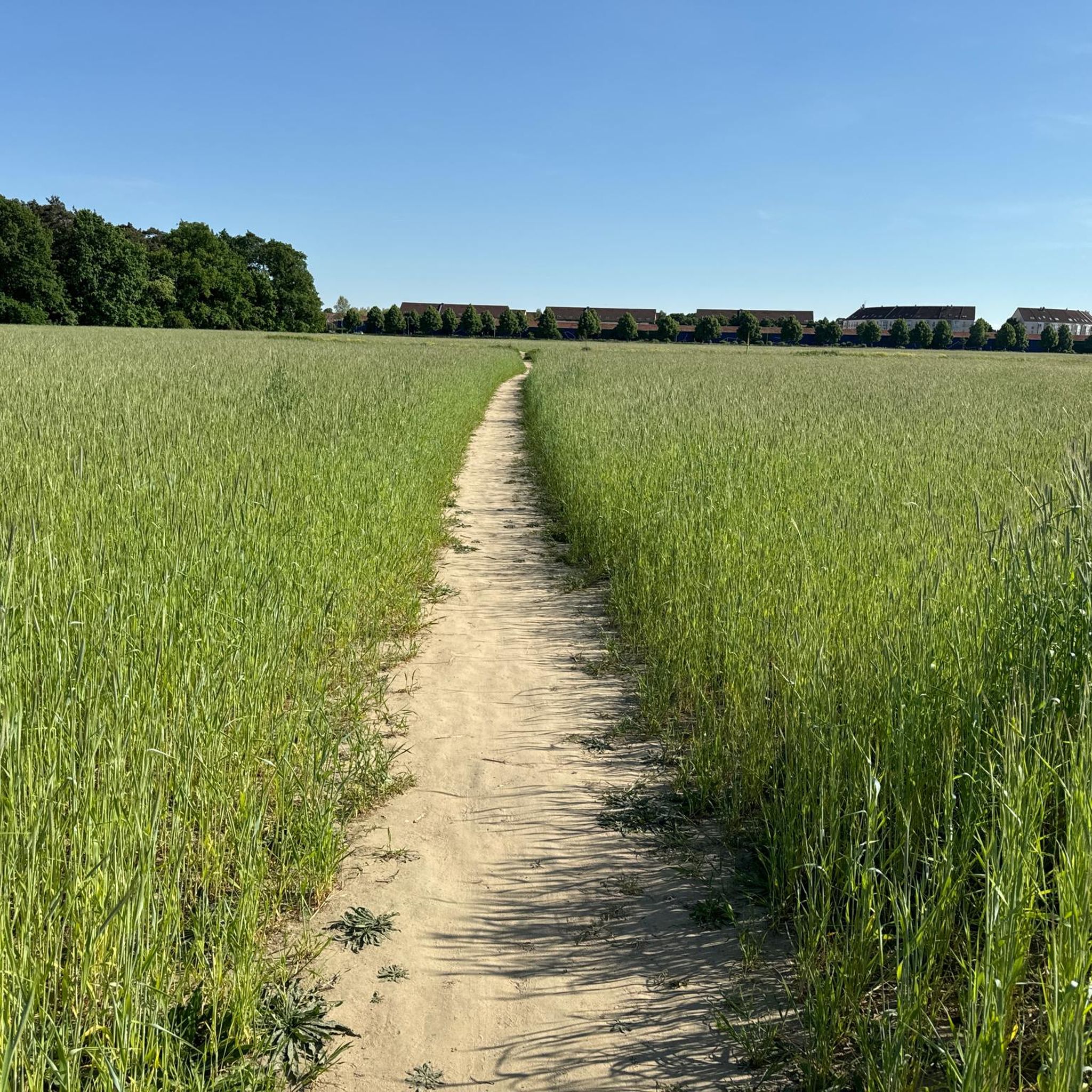
Hiking around Blankenfelde-Mahlow
Road Cycling Routes around Blankenfelde-Mahlow
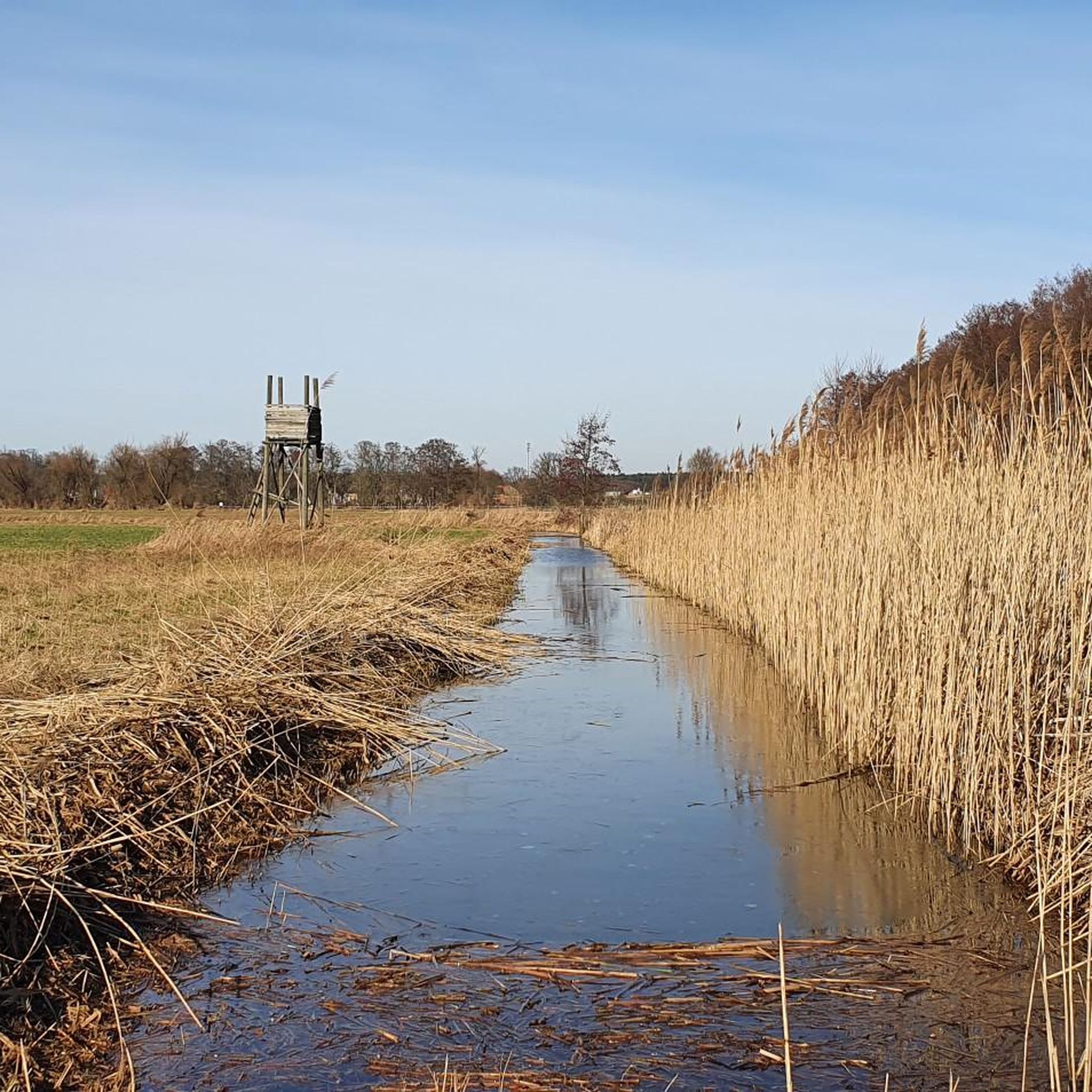
Cycling around Blankenfelde-Mahlow
Running Trails around Blankenfelde-Mahlow
MTB Trails around Blankenfelde-Mahlow
Other adventures around Blankenfelde-Mahlow


Tips from the Community

The construction of the Teltowkanal was oriented at the time by the surface forms shaped by the Bäke and went through marshlands here, the Schönower and Teltower See. After the drainage of the marshlands, the Teltower See left new building land for companies and residential buildings and that of the Zehlendorfer Stichkanal with a harbor. With the construction of the Wall, which divided Germany, the companies went to West Germany, the harbor lost its importance and an inner-German border emerged, today the historical Berliner Mauerweg and here simultaneously the Berlin city border in the middle of a nature reserve for cyclists and walkers.
0
0

The single trail runs parallel to the asphalted cycle path.
0
0

You can drive along there...
0
0

Drives great =OI)
1
0
Beautiful route, but watch out for the many racing cyclists 🤠
1
0
In summer, it's always a nice route to relax =O)
0
0
Personally, I only recommend it in good weather; in bad weather you need to do laundry for both yourself and your bike =O)
0
0

The view of the former border crossing at Dreilinden evokes memories of the division of Germany.
1
0
Frequently Asked Questions
How many gravel bike trails are available in Blankenfelde-Mahlow?
There are over 15 gravel bike trails around Blankenfelde-Mahlow, offering a range of experiences from easy to difficult. The komoot community has rated these routes highly, with an average score of 4.3 stars.
What kind of terrain can I expect on gravel bike trails in Blankenfelde-Mahlow?
The region offers a diverse mix of surfaces, including paved paths, natural forest tracks, and dedicated gravel sections. You'll often find routes along canals like the Teltow Canal and Notte Canal, through wetlands, and past historical sites, providing varied riding experiences.
Are there any easy gravel bike routes suitable for beginners or families?
Yes, Blankenfelde-Mahlow has several easy routes. For instance, the Rudower Fließ Nature Trail – Großziethener Fields loop from Rudow is a 10.5-mile (17.0 km) easy trail that takes you through natural fields and wetlands. Another accessible option is the Berlin Wall Trail – Eugen-Kleine Bridge loop from Berlin-Lichterfelde Ost, which is 26.4 miles (26.4 km) and also rated easy.
What are some challenging gravel bike routes in the area?
For a more challenging ride, consider the Forest Highway Mauerweg – Viewpoint at Schleusengraben loop from Mariendorf. This difficult 25.9-mile (41.6 km) trail offers varied surfaces along historical paths, including sections of the Berlin Wall Trail.
What natural features or landmarks can I see along the gravel bike trails?
Many routes incorporate scenic natural areas and historical sites. You can ride along the Teltow Canal and Notte Canal, explore wetlands like the Glasowbach Feuchtgebiet, and pass by lakes such as Mahlower See and Rangsdorfer See. The Berlin Wall Trail sections also offer historical context with information boards. For specific points of interest, you might encounter highlights like Diedersdorf Castle or Königs Wusterhausen Palace on some routes.
Are there any loop routes for gravel biking in Blankenfelde-Mahlow?
Yes, many of the gravel bike trails in Blankenfelde-Mahlow are designed as loops. Examples include the Paved Path Through Greenery – Cycle path along the A113 loop from Wutzkyallee, a moderate 22.1-mile (35.6 km) loop, and the Bridge Over the Notte Canal – Bastion Ruins of Zossen Castle loop from Dabendorf, a moderate 25.3-mile (40.8 km) loop.
What is the best time of year for gravel biking in Blankenfelde-Mahlow?
The region is generally pleasant for gravel biking from spring through autumn. The Berlin Wall Trail, for instance, is praised for offering pleasant shade, which can be particularly welcome during warmer months. While some routes may be accessible in winter, conditions can vary, so checking local weather is always recommended.
Are there any bike parks or dedicated mountain bike trails nearby?
While this guide focuses on gravel biking, there are bike parks and mountain bike trails in the broader area. You can find places like the Dirt Jump and Pump Track Berlin or the Gut Osdorf Mountain Bike Trail if you're looking for more specialized off-road experiences.
How accessible are the gravel bike trails by public transport?
Blankenfelde-Mahlow is situated on the outskirts of Berlin, and many routes are designed to be accessible from various starting points, including those reachable by public transport. For example, the Berlin Wall Trail – Eugen-Kleine Bridge loop starts from Berlin-Lichterfelde Ost, which is well-connected.
What do other gravel bikers enjoy most about the trails in Blankenfelde-Mahlow?
The komoot community rates the gravel biking in Blankenfelde-Mahlow highly, with an average score of 4.3 stars from over 30 reviews. Riders often praise the diverse terrain, the blend of natural forest tracks and canal-side paths, and the historical context provided by routes like the Berlin Wall Trail.
Are there any places to stop for refreshments or food along the trails?
While specific cafes or pubs are not detailed for every route, the region's proximity to towns and villages means you'll find opportunities for refreshment. Many routes pass through or near populated areas where you can find local eateries and shops.
What is the general elevation profile of gravel bike routes in Blankenfelde-Mahlow?
The region features a relatively flat topography with gentle elevation changes, making it accessible for different skill levels. Even longer routes like the Forest Highway Mauerweg – Viewpoint at Schleusengraben loop, which is 25.9 miles (41.6 km), only have around 102 meters of elevation gain.
Most popular routes around Blankenfelde-Mahlow
Most popular attractions around Blankenfelde-Mahlow

Get inspired with the komoot mobile app


Explore more
Browse the best Gravel rides in other regions.
