The best gravel rides around Sankt Veit im Mühlkreis
5.0
(7)
40
riders
7
rides
Gravel biking around Sankt Veit im Mühlkreis offers diverse landscapes within the Upper Austrian Mühlviertel region. The area features a mix of approximately 27 percent forest and 67 percent farmland, providing varied terrain for cyclists. Rolling hills and impressive granite formations characterize the region, creating a dynamic environment for gravel cycling. This combination of natural beauty and varied surfaces makes it suitable for exploring on gravel bikes.
Best gravel bike trails around Sankt Veit im Mühlkreis
- The most popular gravel…
Last updated: July 3, 2026
5.0
(1)
5
riders
25.4km
01:51
440m
440m
Moderate gravel ride. Good fitness required. Mostly paved surfaces. Suitable for all skill levels.
5.0
(1)
9
riders
34.2km
02:20
630m
630m
Hard gravel ride. Very good fitness required. Mostly paved surfaces. Suitable for all skill levels.

Sign up for free
5.0
(1)
10
riders
Hard gravel ride. Very good fitness required. Mostly paved surfaces. Suitable for all skill levels.
5.0
(3)
6
riders
Hard gravel ride. Very good fitness required. Mostly paved surfaces. Suitable for all skill levels.
3
riders
Hard gravel ride. Very good fitness required. Mostly paved surfaces. Suitable for all skill levels.
Get access to more routes and recommendations from other explorers.
Sign up for free
Already have an account?
Our route recommendations are based on thousands of hikes, rides, and runs completed by other people on komoot.
Start today with a free account
Your next adventure awaits.
Login or Signup
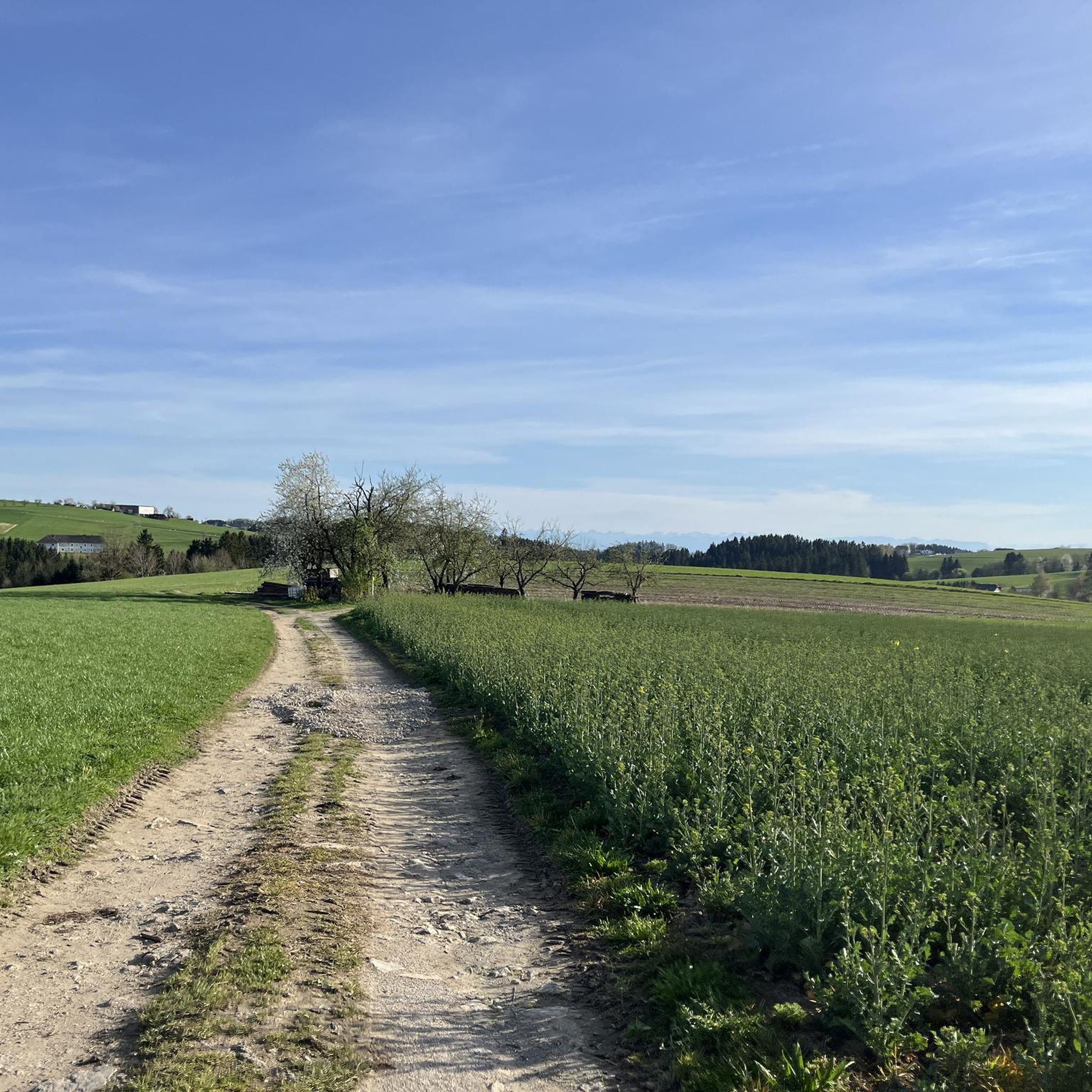
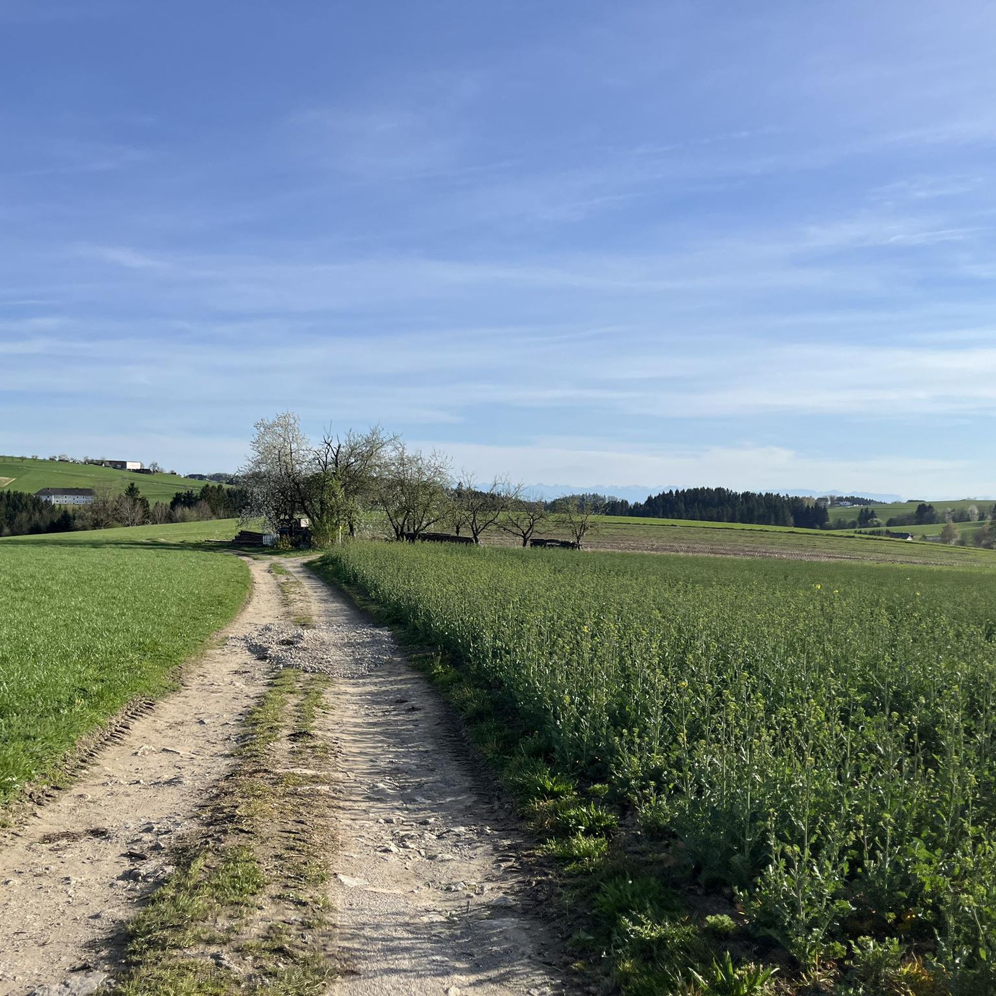
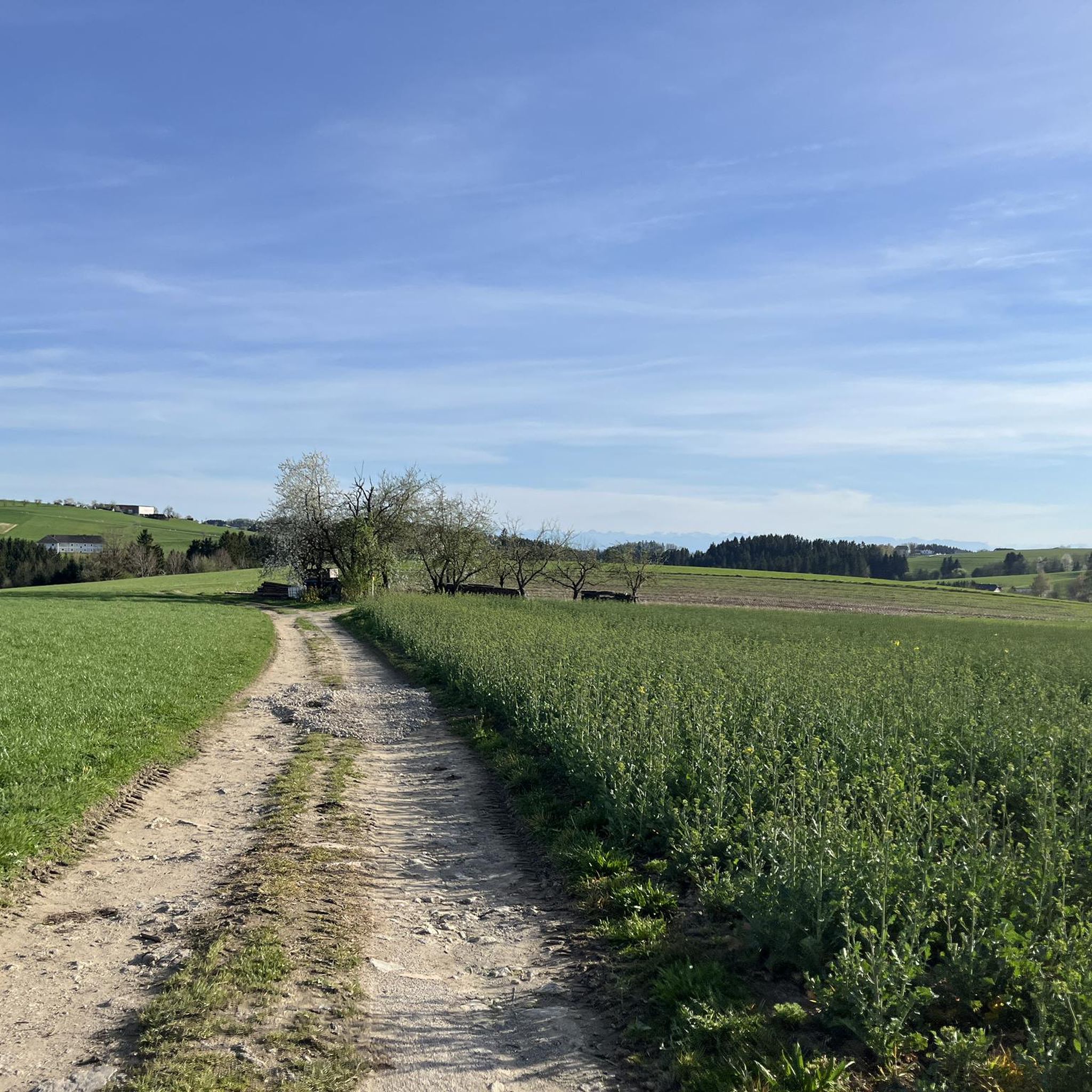
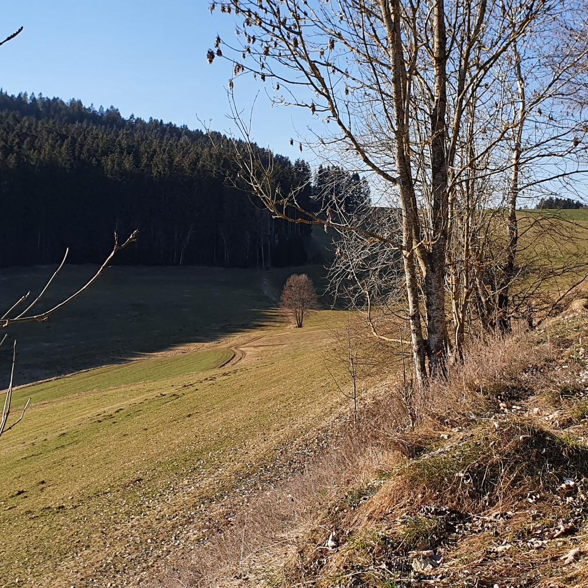
Tips from the Community

Beautiful cycle path with a view
2
0
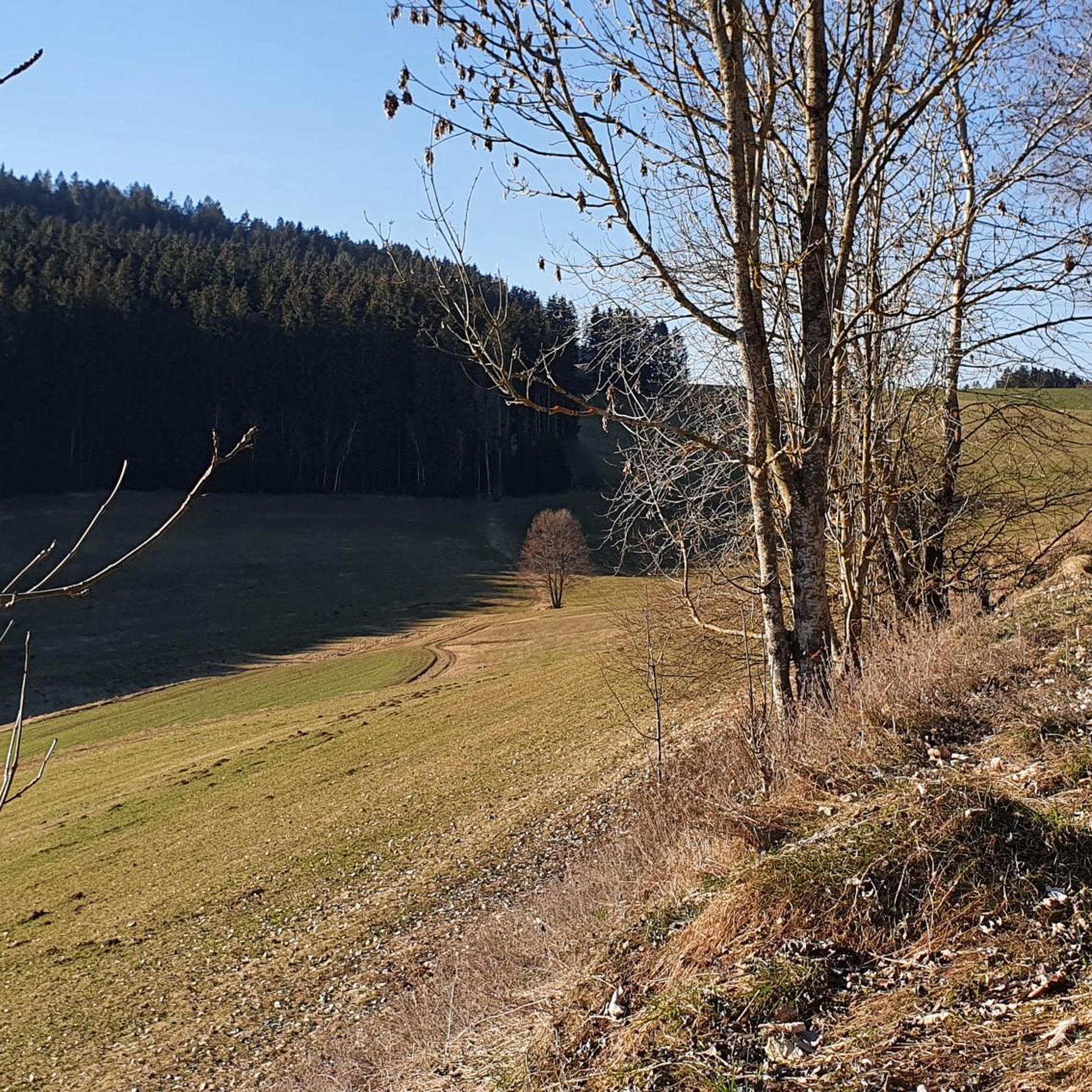
Very nice cycle path with great views, with root breakouts in several places.
3
0

According to historical plaques, the ramparts were used three times: during the Thirty Years' War, during the wars against the Turks, and during an outbreak of the plague.
1
0

It points to a geological condition whereby the Rodl flows into the Danube and this in turn into the Black Sea, while on the other hand the Granitzbach flows into the Vltava, Elbe and North Sea.
6
0
The Schwedenschanze was built during the Thirty Years' War to protect against the invasion of the Swedish army from the north
4
0
Small border crossing for pedestrians and cyclists
6
0
Small border crossing for pedestrians and cyclists
5
0

Remnants of the Thirty Years' War
0
0
Frequently Asked Questions
How many gravel bike trails are available around Sankt Veit im Mühlkreis?
There are over 25 gravel bike routes in the Sankt Veit im Mühlkreis region, offering a diverse range of experiences for cyclists. These routes are highly rated by the komoot community, with an average score of 4.9 stars.
What kind of terrain can I expect on gravel bike trails in Sankt Veit im Mühlkreis?
The region is characterized by rolling hills, dense forests, and distinctive granite formations. You'll encounter a mix of asphalt, forest roads, gravel paths, and easy unpaved sections, making for varied and engaging rides through its approximately 27% forest and 67% farmland landscape.
Are there any moderate gravel bike routes suitable for less experienced riders?
Yes, while many routes are challenging, there are moderate options available. For example, the Graslmühle – Rading Swedish Rampart loop from Bad Leonfelden is a moderate 25.4 km path that leads through varied terrain, including the historic Rading Swedish Rampart.
What are some notable viewpoints or landmarks I can visit along the gravel routes?
You can find several interesting points of interest. The Sternstein Observation Tower offers panoramic views of the surrounding Böhmerland and even the northern limestone Alps on clear days. Another unique natural monument is the Kerzenstein, a twelve-meter-high granite column in the Pesenbach valley.
Are there any routes that pass through charming towns or offer places for refreshments?
Yes, some routes connect to local towns. The Bad Leonfelden Market Square – Dürnau border crossing loop from Bad Leonfelden, for instance, starts near Bad Leonfelden, which is known for its beautiful market square and inviting restaurants, perfect for a break.
Can I find routes with waterfalls or natural water features?
Yes, the region boasts crystal clear waters and natural treasures. You might encounter features like the Blue Alley Stream and Waterfalls, which can be a refreshing stop on your ride.
What is the best time of year for gravel biking in Sankt Veit im Mühlkreis?
The Mühlviertel region is generally pleasant for cycling from spring through autumn. The unspoilt landscapes and varied terrain are particularly beautiful during these seasons, offering comfortable temperatures and vibrant scenery. Winter cycling is possible but conditions can be challenging due to snow and ice.
Are there any long-distance or challenging gravel routes for experienced riders?
Absolutely. For experienced riders seeking a challenge, the Moldaustausee North Shore Cycle Path – View of the Lipno Reservoir loop from St. Stefan am Walde is a difficult 109.9 km route, offering extensive views of the Lipno Reservoir and taking around 8 hours to complete.
Are there any circular gravel bike trails in the area?
Many of the gravel routes in Sankt Veit im Mühlkreis are designed as loops, allowing you to start and end at the same point. Examples include the Graslmühle – Rading Swedish Rampart loop and the View of Linz – Southeast View of Linz loop, providing convenient options for exploration.
What do other gravel bikers say about the routes in Sankt Veit im Mühlkreis?
The gravel biking routes in Sankt Veit im Mühlkreis are highly regarded by the komoot community, with an average rating of 4.9 stars from over 40 reviews. Cyclists often praise the diverse landscapes, the mix of challenging and moderate terrain, and the natural beauty of the Mühlviertel region.
Are there any routes that offer views of the wider region or specific cities?
Yes, some routes provide expansive vistas. The View of Linz – Southeast View of Linz loop from Eidenberg is a 37.6 km trail that leads through forested areas and offers clear views towards the city of Linz.
Can I find places to eat or rest along the trails?
Yes, the region has several huts and restaurants that can serve as convenient stops. The Eidenberger Alm and the Forest tavern at the Sternstein are examples of places where you can find refreshments during your ride.
Most popular routes around Sankt Veit im Mühlkreis
Most popular attractions around Sankt Veit im Mühlkreis

Get inspired with the komoot mobile app


Explore more
Browse the best Gravel rides in other regions.
