The best gravel rides around Tragwein
4.1
(5)
44
riders
11
rides
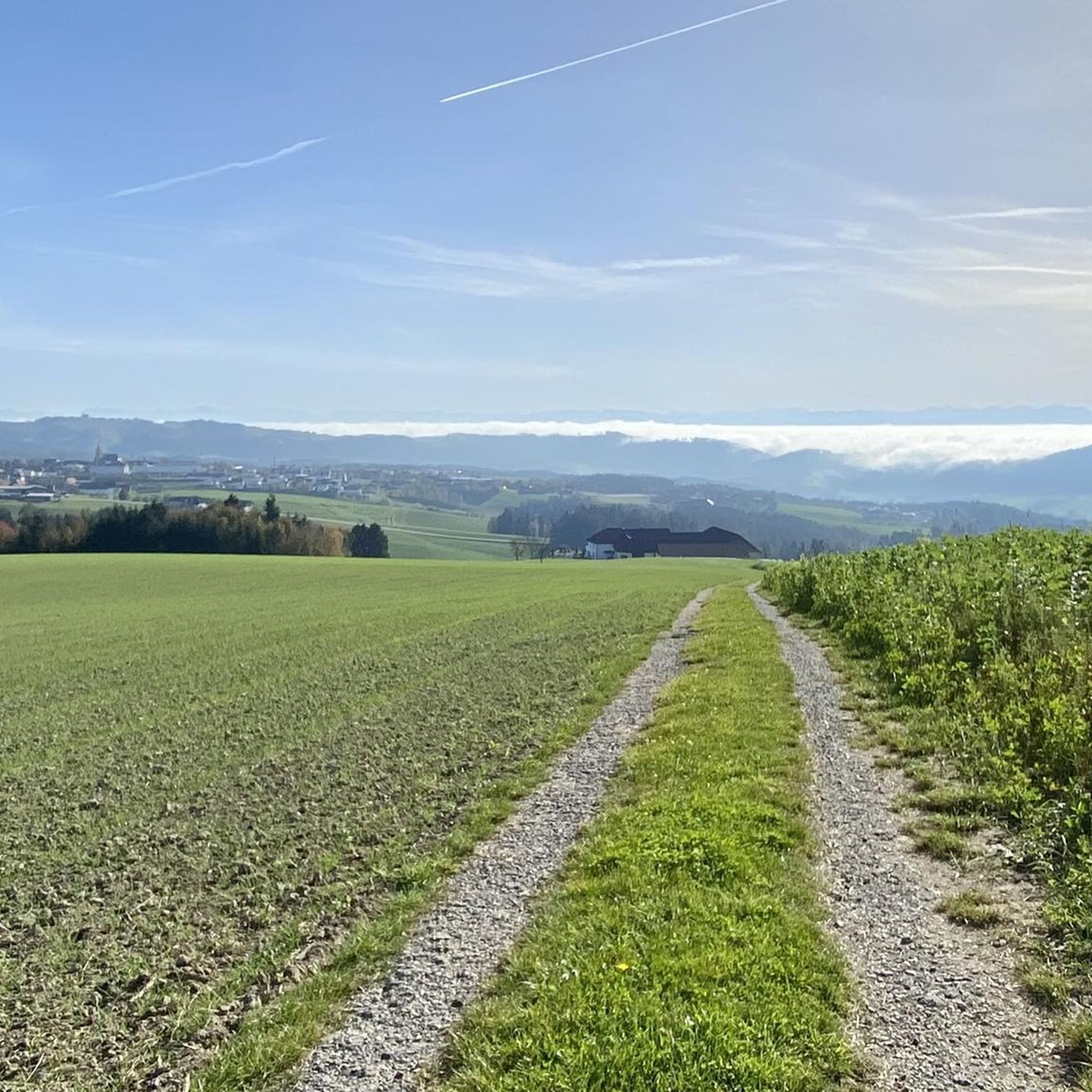
Gravel biking around Tragwein offers varied terrain across the scenic lower Mühlviertel region of Upper Austria. The area is characterized by rolling hills, extensive meadows, and dense wooded areas, providing diverse surfaces for gravel cyclists. Riders can explore picturesque sections along the Aisttal valley and forest roads, with elevations like the Weltstein at 478 meters. This landscape provides a mix of natural features suitable for mixed-surface cycling.
Best gravel bike trails around Tragwein
- The most popular gravel bike trail is…
Last updated: August 26, 2026
4.0
(1)
5
riders
41.3km
03:14
790m
790m
Hard gravel ride. Very good fitness required. Mostly paved surfaces. Suitable for all skill levels.
10
riders
48.0km
03:52
1,040m
1,040m
Hard gravel ride. Very good fitness required. Mostly paved surfaces. Suitable for all skill levels.

Sign up for free
4.5
(2)
5
riders
49.6km
03:52
1,170m
1,170m
Hard gravel ride. Very good fitness required. Mostly paved surfaces. Suitable for all skill levels.
3.0
(1)
4
riders
39.3km
02:49
570m
570m
Hard gravel ride. Very good fitness required. Mostly paved surfaces. Suitable for all skill levels.
7
riders
52.0km
03:45
830m
830m
Hard gravel ride. Very good fitness required. Mostly paved surfaces. Suitable for all skill levels.
Get access to more routes and recommendations from other explorers.
Sign up for free
Already have an account?
Our route recommendations are based on thousands of hikes, rides, and runs completed by other people on komoot.
Start today with a free account
Your next adventure awaits.
Login or Signup
Tips from the Community

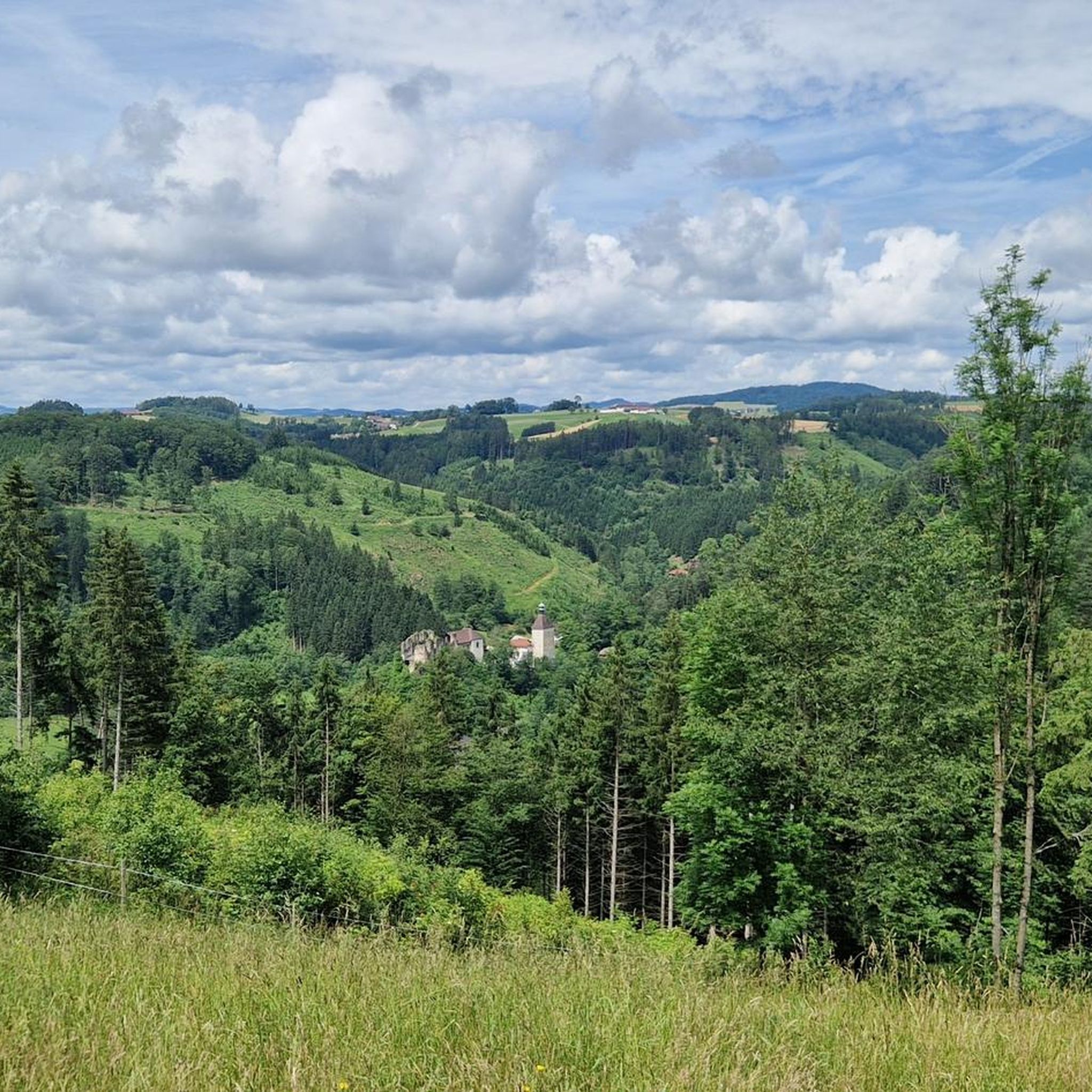
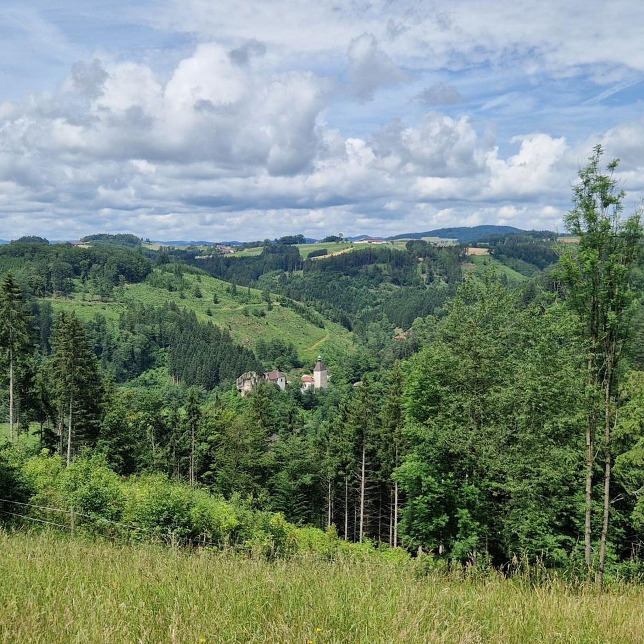
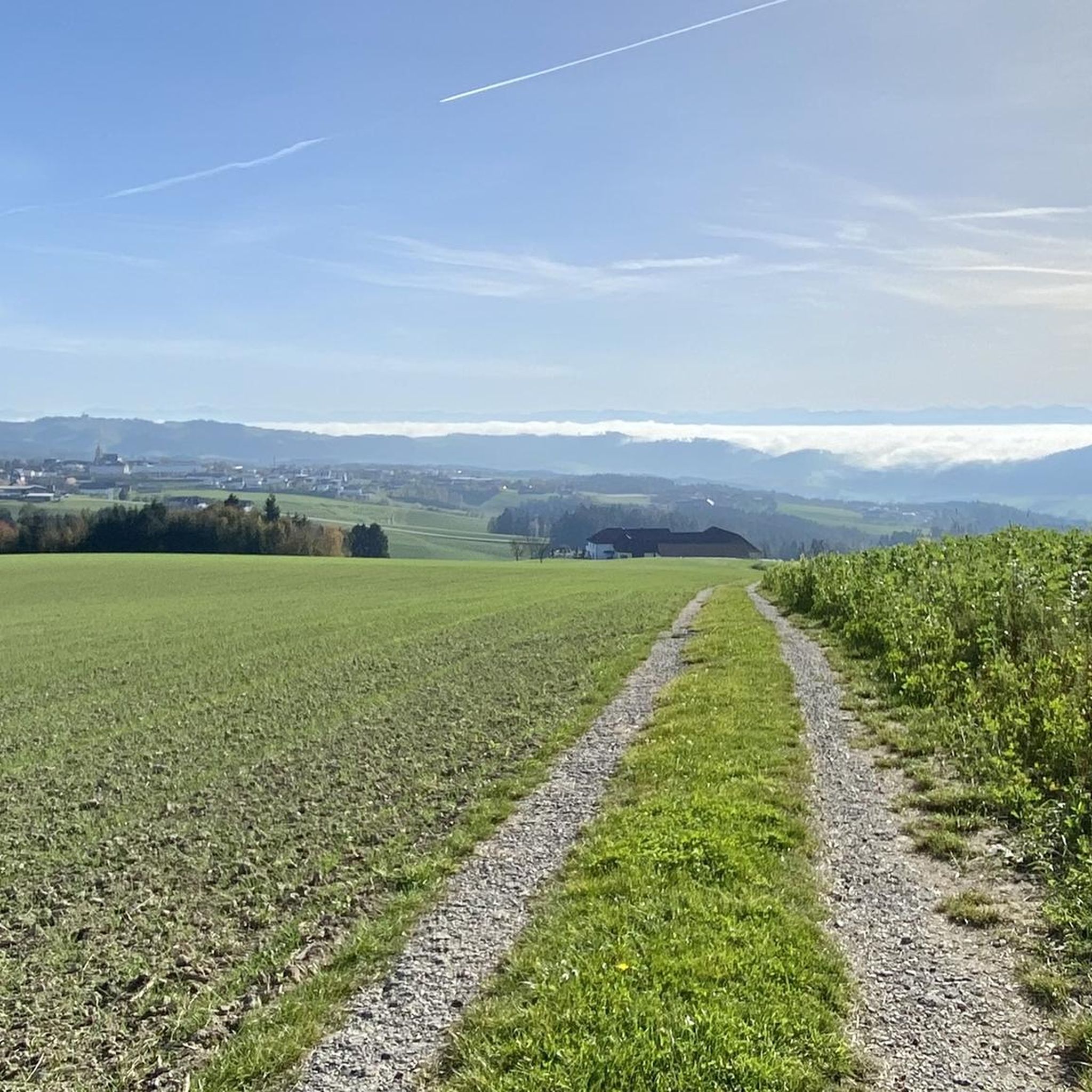
In clear weather, the Alpine chain from the Ötscher to Traunstein would be visible above Loibersdorf.
0
0
In clear weather, the Alpine chain from the Ötscher to Traunstein would be visible above Loibersdorf.
0
0


Very nice place to stop - it's just rarely open (see photos!)
0
0

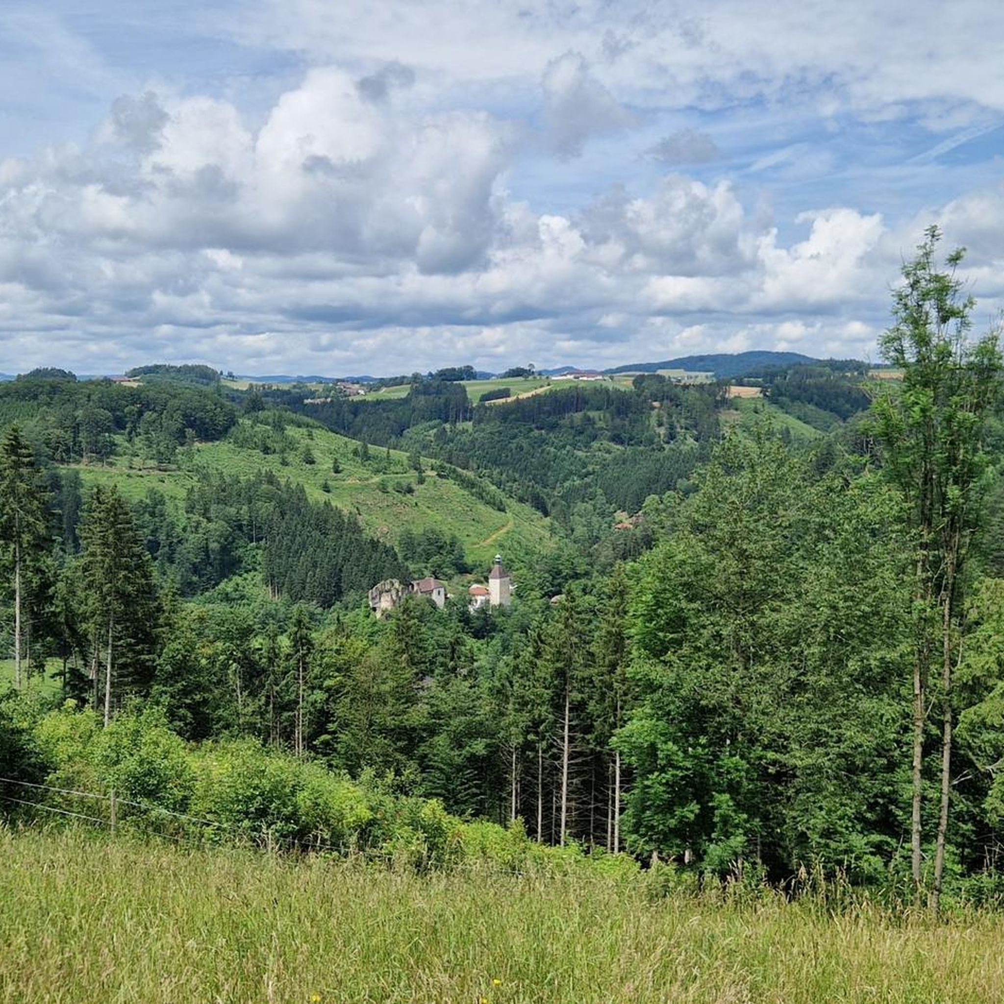
From here you can see Kefermarkt and the Renaissance Weinberg Castle, which sits on a ridge above the town.
0
0
View of Freistadt: only narrow - exactly through the window frame in the rear part of the site - continues to grow.
0
0

Beautiful view of the parish church and the Linzer Tor with the brewery in front of it
1
0
Schwertberg Castle now houses a hotel with a historic ambience.
0
0
Frequently Asked Questions
How many gravel bike trails are available around Tragwein?
There are over 20 gravel bike trails around Tragwein, offering a diverse range of experiences. The majority of these routes are considered difficult, providing a good challenge for experienced riders, though a few easier options are also available.
What kind of terrain can I expect on gravel bike trails near Tragwein?
The gravel bike trails around Tragwein are characterized by the rolling hills of the Mühlviertel region. You'll encounter a mix of extensive meadows, shaded forest paths, and sections along river valleys. Elevations like the Weltstein hint at climbs and descents, providing varied mixed-surface riding.
Are there any family-friendly gravel biking options in the Tragwein area?
While many routes are challenging, the region does offer paths suitable for families, often along meadows and fields. For example, the path leading to the Hoh-Haus at Buchberg Observation Tower is described as family-friendly and mostly follows open terrain, which can be suitable for gravel bikes.
What are some notable landmarks or viewpoints I can discover along the gravel bike routes?
You can explore several interesting points. The Weltstein is a significant natural monument, and the Hoh-Haus at Buchberg Observation Tower offers panoramic views of the Mühlviertel. Historical sites like the historic center of Mauthausen are also accessible, and the Schwertberg Castle – Haarlandberg Viewpoint loop from Schwertberg specifically leads past historical landmarks.
Can I find circular gravel bike routes around Tragwein?
Yes, many of the gravel bike routes around Tragwein are designed as loops. For instance, you can try the challenging Enns–Mauthausen Bicycle Ferry – Au an der Donau Marina loop from Schwertberg, which offers extensive riding along river valleys. Another option is the Schneiderwiese Rest Area – Dry stone wall Hadersdorf loop from Pregarten, traversing fields and forests.
What is the best time of year for gravel biking in Tragwein?
The Mühlviertel region is enjoyable for gravel biking from spring through autumn. The varied landscapes with meadows, fields, and wooded areas offer pleasant conditions. While winter biking is possible, be prepared for colder temperatures and potentially snowy or icy conditions, especially on higher elevations and shaded forest paths.
Are there any places to stop for refreshments or accommodation near the gravel trails?
Yes, the region offers options for breaks. The Braunberg Hut is a frequently visited mountain hut that could serve as a scenic resting point. Tragwein and nearby towns also provide cafes, pubs, and accommodation suitable for cyclists, allowing you to refuel and relax after your ride.
What do other gravel bikers enjoy most about gravel biking in Tragwein?
The komoot community highly rates the gravel biking experience in Tragwein, with an average score of 4.9 stars. Riders often praise the diverse terrain, which includes rolling hills, extensive meadows, and shaded forest paths, providing a varied and engaging riding experience.
Are there any routes that offer views of the Danube River?
Yes, some routes extend towards the Danube. The View of the Danube – Grein Marina loop from Schwertberg is a longer, difficult route that provides opportunities for river views and exploring the areas near the Danube.
Can I reach the gravel bike trails around Tragwein using public transport?
Tragwein is located approximately 30 kilometers northeast of Linz, and public transport connections are available to the region. While specific direct connections to trailheads might vary, you can typically reach the general area by bus or train, often requiring a short ride to the starting points of the trails.
Are there any easy gravel bike trails for beginners around Tragwein?
While the majority of the 21 routes are rated as difficult, there is at least one easy gravel bike trail available. These easier options typically traverse through less challenging terrain, such as open fields and flatter sections, making them suitable for beginners or those seeking a more relaxed ride.
What is the elevation gain like on the more challenging gravel routes?
The more challenging gravel routes around Tragwein can feature significant elevation gains. For example, the Braunberg Hut – View of Weinberg Castle loop from Schloß Haus involves over 1100 meters of ascent, providing a substantial workout for experienced gravel bikers.
Most popular routes around Tragwein
Most popular attractions around Tragwein

Get inspired with the komoot mobile app


Explore more
Browse the best Gravel rides in other regions.
