The best gravel rides around Hochwolkersdorf
4.6
(9)
69
riders
3
rides
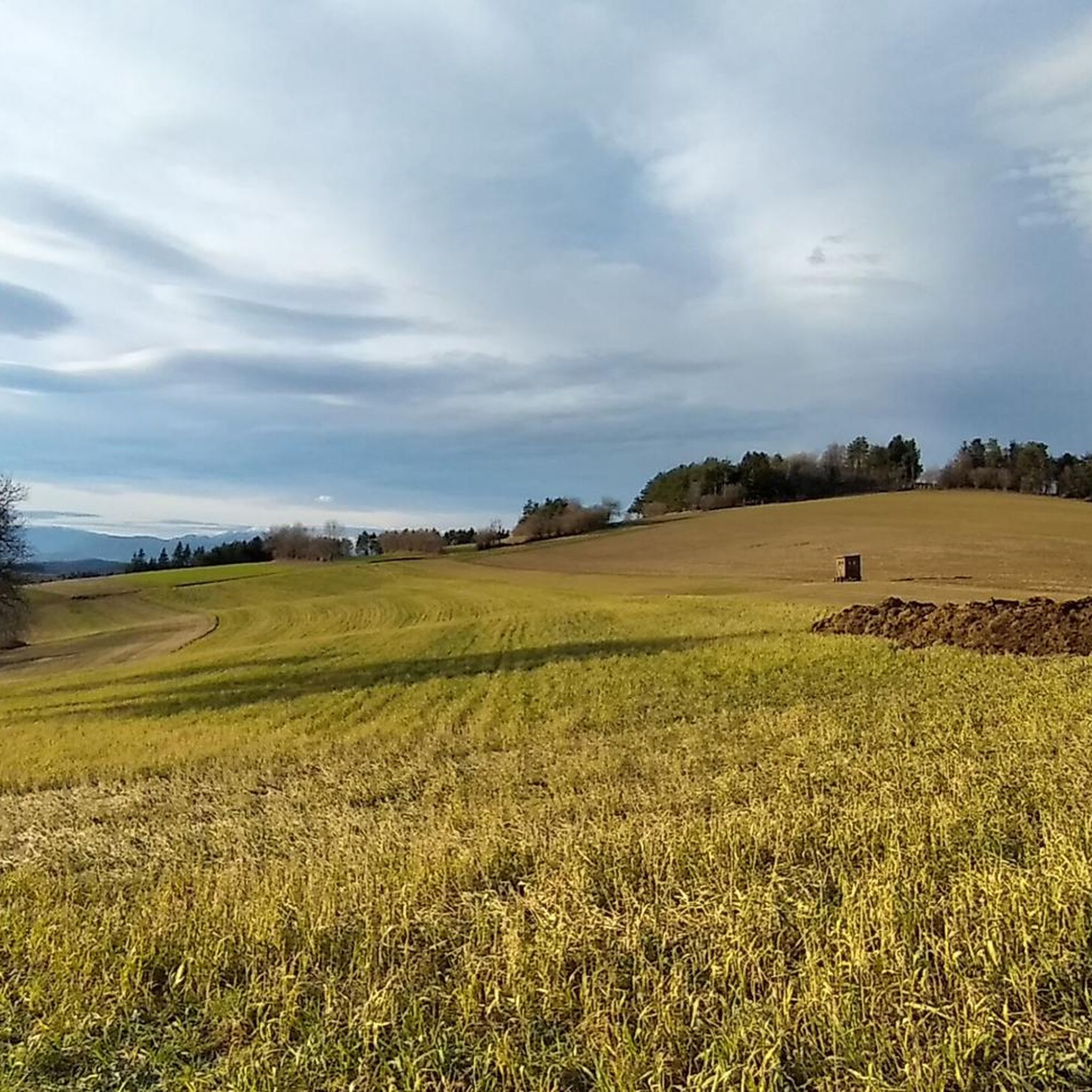
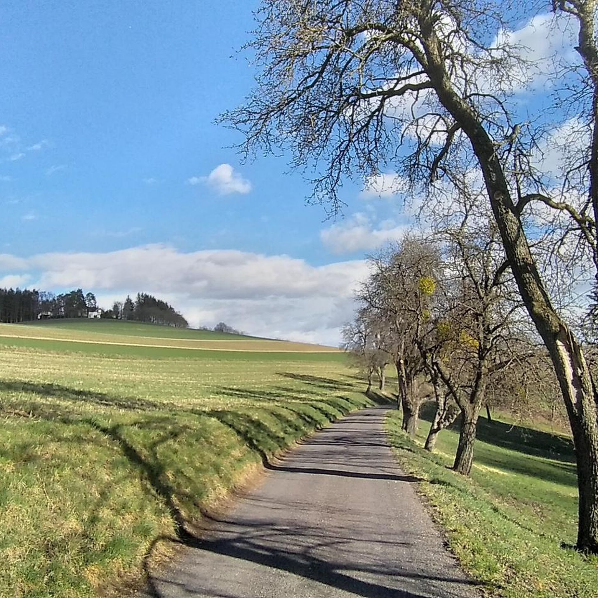
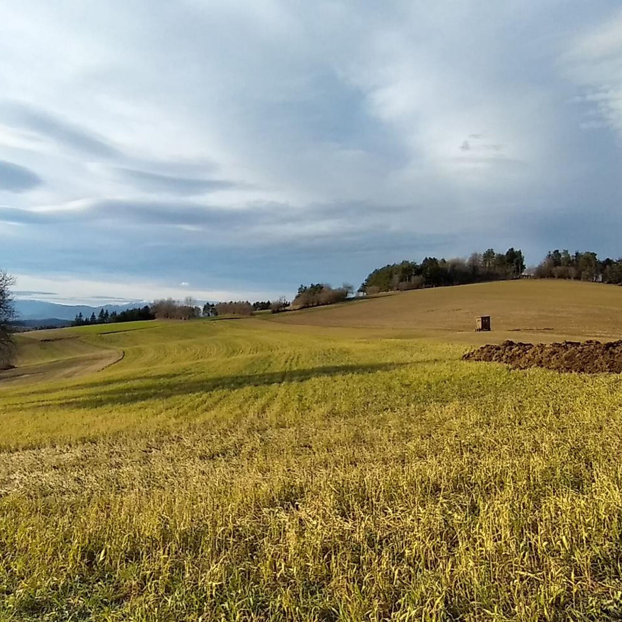
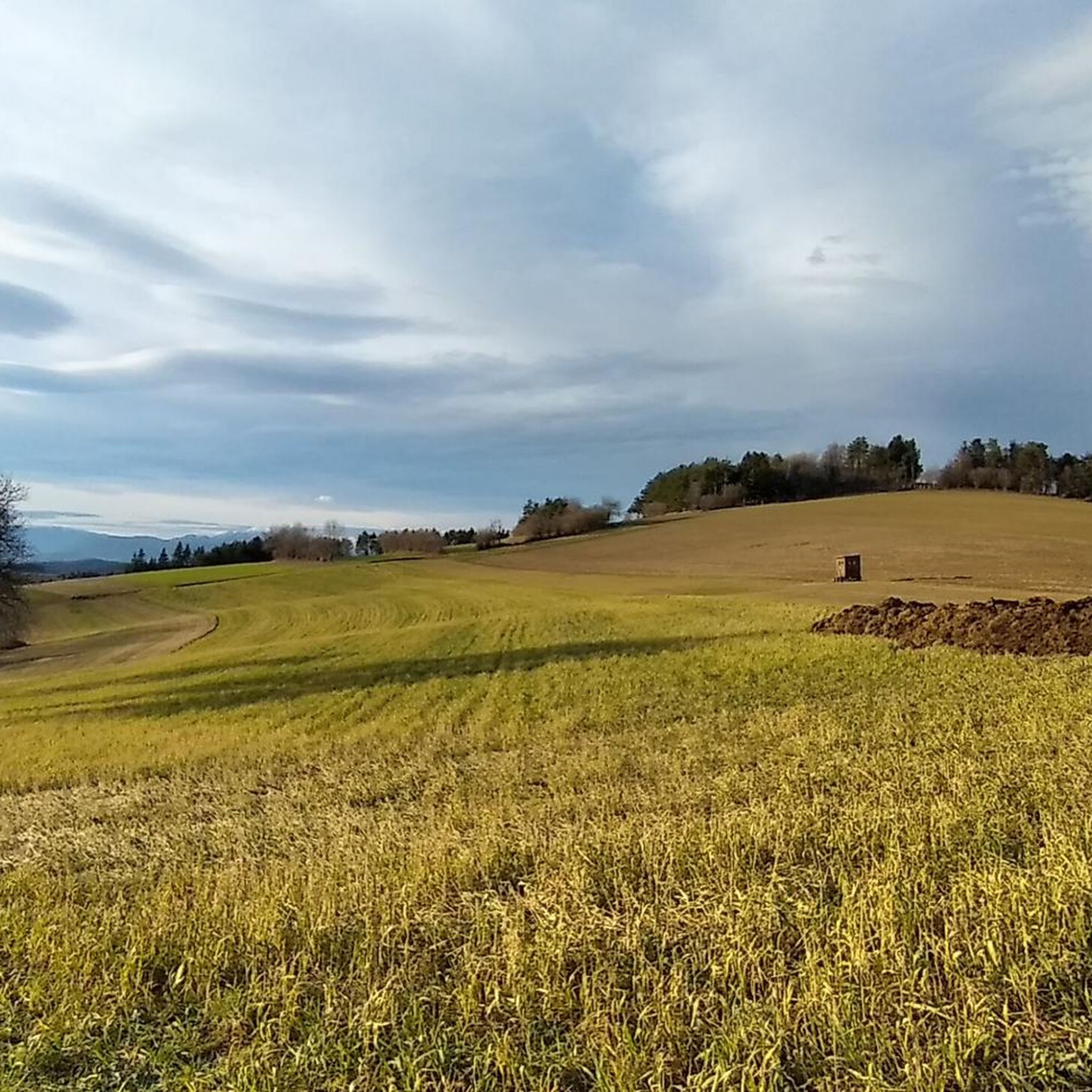
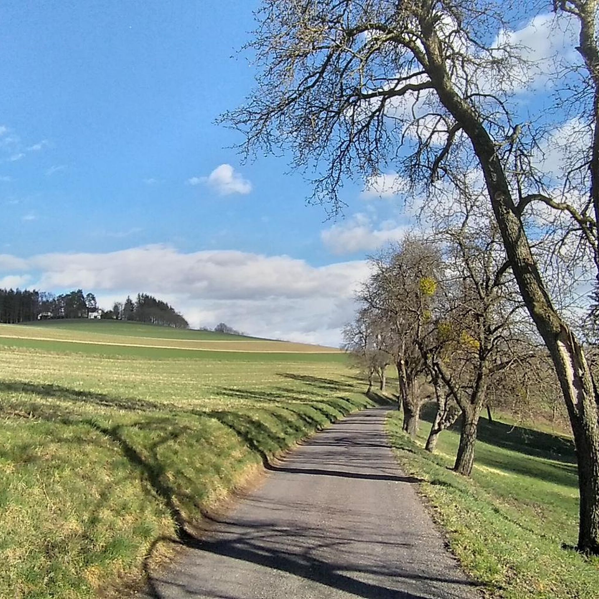
Gravel biking around Hochwolkersdorf features a diverse landscape of rolling hills, expansive green meadows, and dense forests within the Vienna Alps. The region is part of the "Bucklige Welt," characterized by its undulating terrain and elevation gains, offering varied route profiles. Gravel bike trails here combine charming country roads, forest paths, and quiet trails, providing access to panoramic views of prominent Alpine peaks. This topography makes the area suitable for various gravel biking experiences.
Best gravel bike trails around Hochwolkersdorf
…Last updated: July 16, 2026
5.0
(3)
23
riders
40.1km
02:14
280m
280m
Moderate gravel ride. Good fitness required. Mostly paved surfaces. Suitable for all skill levels.
5.0
(1)
10
riders
34.1km
01:46
150m
150m
Moderate gravel ride. Good fitness required. Mostly paved surfaces. Suitable for all skill levels.

Sign up for free
7
riders
Hard gravel ride. Very good fitness required. You may need to push your bike for some segments of this route.
4.0
(1)
9
riders
Moderate gravel ride. Good fitness required. Mostly paved surfaces. Suitable for all skill levels.
4.5
(2)
9
riders
Easy gravel ride. Great for any fitness level. Mostly paved surfaces. Suitable for all skill levels.
Our route recommendations are based on thousands of hikes, rides, and runs completed by other people on komoot.
Start today with a free account
Your next adventure awaits.
Login or Signup
Tips from the Community

Pöttsching Sculpture Trail: 18 stone sculptures are in visual contact with each other and guide the viewer along the approximately 4.5 km long path.
0
0

Since I was last here, modern rest areas and information boards have been built
0
0


The photo with the board explains the background to this highlight.
0
0

Quiet street past the festival grounds
1
0
A beautiful covered rest area with a drinking fountain and cherry tree. Depending on the time of day, the light changes through the differently colored windows.
0
0

Refreshments are always available inside!
0
0

Frequently Asked Questions
How many gravel bike trails are available in Hochwolkersdorf?
Hochwolkersdorf offers a diverse network of 15 gravel bike trails, catering to various skill levels and preferences. You'll find a mix of easy, moderate, and challenging routes to explore the region's beautiful landscapes.
What is the best time of year for gravel biking in Hochwolkersdorf?
The most enjoyable seasons for gravel biking in Hochwolkersdorf are spring and autumn. During these times, the weather is mild, the roads are typically less busy, and the natural scenery is particularly vibrant, offering ideal conditions for exploring the 'Bucklige Welt'.
Are there gravel routes suitable for beginners or families?
Yes, Hochwolkersdorf has routes suitable for beginners and families. For an easier ride, consider the Leitha River in Lanzenkirchen – Leitha Covered Bridge loop from Dillmonhof, which is 21.1 km long and leads through pleasant riverine landscapes, often completed in about 1 hour 25 minutes.
What kind of terrain can I expect on gravel bike trails in this region?
You can expect a varied terrain characterized by hilly landscapes, expansive green meadows, and dense forests. The region, part of the 'Bucklige Welt,' offers undulating paths, charming country roads, forest paths, and quiet trails, providing a good workout without being overly strenuous.
Are there any scenic viewpoints along the gravel routes?
Absolutely. Many routes offer magnificent panoramic views of prominent Alpine peaks like Rax, Schneeberg, Wechsel, and Hohe Wand. The Steinkogel Lookout Tower is a notable viewpoint, and the 'Hohe Linde' lookout point also provides breathtaking vistas of the surrounding area.
What historical or natural attractions can I see while gravel biking?
The region is rich in attractions. You can encounter historic fortified churches, such as the St. Laurentius parish church in Hochwolkersdorf. Natural highlights include the idyllic 'Schwarzer Teich' biotope. Nearby, you might also integrate a visit to Forchtenstein Castle into a longer route, or pass by the Rosalia Chapel on Heuberg.
Are there any loop trails available for gravel biking?
Yes, many of the gravel routes in Hochwolkersdorf are designed as loop trails, allowing you to start and end at the same point. Examples include the challenging Forchtenstein Castle – Forchtenstein Serpentines loop from Wiesen-Sigleß and the moderate Steinkogel Lookout Tower – Leitha River in Lanzenkirchen loop from Brunn an der Pitten.
What are the difficulty levels of the gravel routes in Hochwolkersdorf?
The routes in Hochwolkersdorf cater to various fitness levels. You'll find 3 easy routes, 3 moderate routes, and 9 more difficult routes, ensuring there's a suitable challenge for everyone, from leisurely rides to more demanding ascents.
Are there shorter gravel routes for a quick ride?
Yes, if you're looking for a quicker ride, the Leitha River in Lanzenkirchen – Leitha Covered Bridge loop from Dillmonhof is an excellent option. It's an easy 21.1 km trail that typically takes about 1 hour 25 minutes to complete.
What do other gravel bikers enjoy most about the trails in Hochwolkersdorf?
The komoot community highly rates the gravel biking experience in Hochwolkersdorf, with an average score of 4.7 stars. Cyclists often praise the diverse landscapes, the blend of charming country roads and quiet forest paths, and the panoramic views of the Vienna Alps.
Is it possible to reach the gravel trails by public transport?
While specific public transport connections directly to trailheads may vary, Hochwolkersdorf is situated in the district of Wiener Neustadt-Land. It's advisable to check local bus or train schedules to nearby towns and plan your route accordingly, as some starting points might require a short ride from the nearest public transport stop.
Where can I park my car when starting a gravel bike tour?
Parking options are generally available in and around the villages that serve as starting points for many routes. Look for designated parking areas in Hochwolkersdorf or the surrounding communities like Wiesen-Sigleß, Brunn an der Pitten, or Dillmonhof, depending on your chosen trail.
Most popular attractions around Hochwolkersdorf

Get inspired with the komoot mobile app


Explore more
Browse the best Gravel rides in other regions.
