The best gravel rides around Ollersdorf im Burgenland
4.2
(6)
57
riders
13
rides
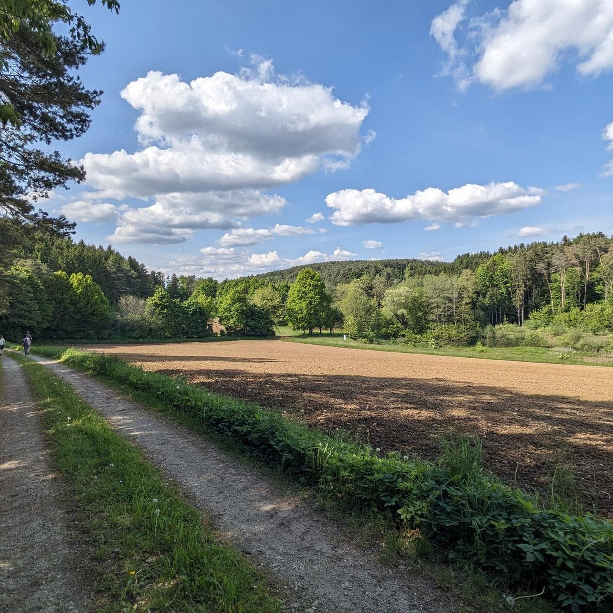
Gravel biking around Ollersdorf im Burgenland offers a diverse landscape characterized by rolling hills, agricultural fields, and scattered woodlands. The region features a mix of paved and unpaved paths, often passing by small villages, vineyards, and water bodies like the Stausee Rauchwart. The varied topography, including the unregulated Lafnitz River, provides diverse habitats. Elevation gains are generally moderate, making the terrain suitable for various skill levels.
Best gravel bike trails around Ollersdorf im Burgenland
- The most popular gravel bike trail…
Last updated: July 16, 2026
4.0
(2)
16
riders
Moderate gravel ride. Good fitness required. Mostly paved surfaces. Suitable for all skill levels.
5.0
(1)
3
riders
20.0km
01:27
180m
180m
Moderate gravel ride. Good fitness required. Mostly paved surfaces. Suitable for all skill levels.

Sign up for free
4.0
(1)
3
riders
25.5km
01:49
220m
220m
Moderate gravel ride. Good fitness required. Mostly paved surfaces. Suitable for all skill levels.
3
riders
41.0km
02:33
320m
320m
Moderate gravel ride. Good fitness required. Mostly paved surfaces. Suitable for all skill levels.
9
riders
Moderate gravel ride. Good fitness required. Mostly paved surfaces. Suitable for all skill levels.
Get access to more routes and recommendations from other explorers.
Sign up for free
Already have an account?
Our route recommendations are based on thousands of hikes, rides, and runs completed by other people on komoot.
Start today with a free account
Your next adventure awaits.
Login or Signup
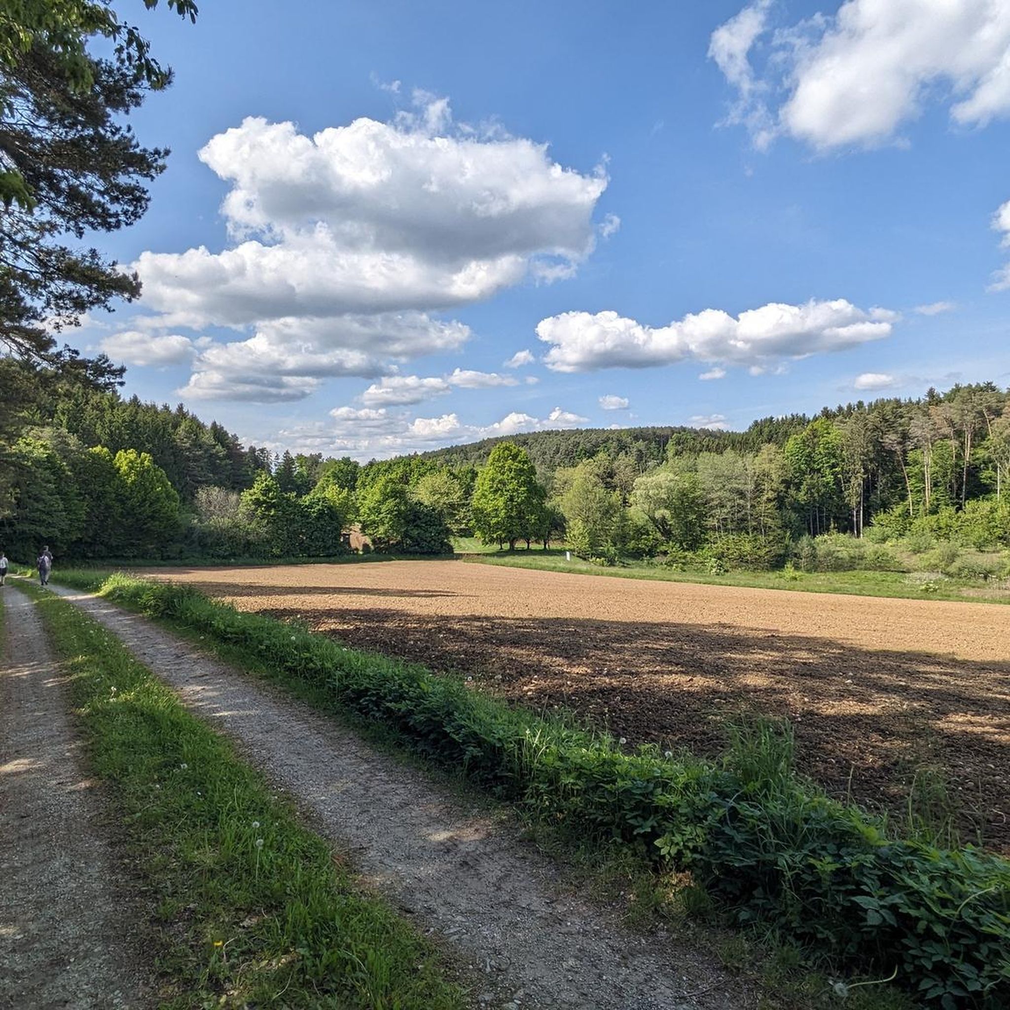
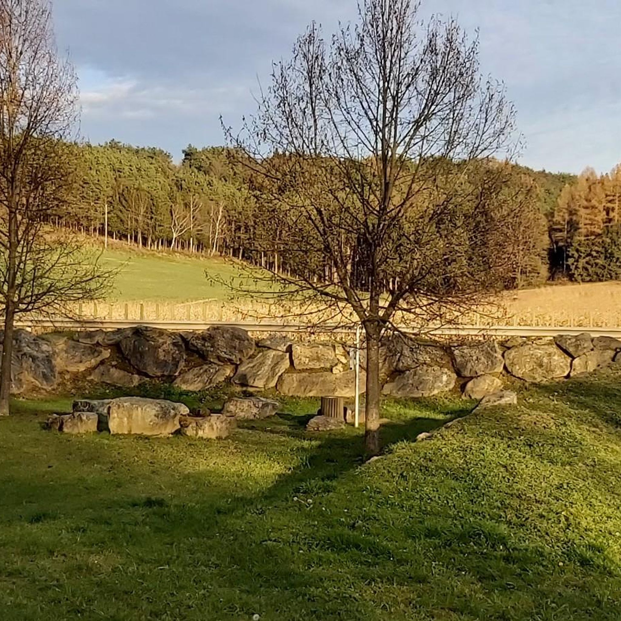
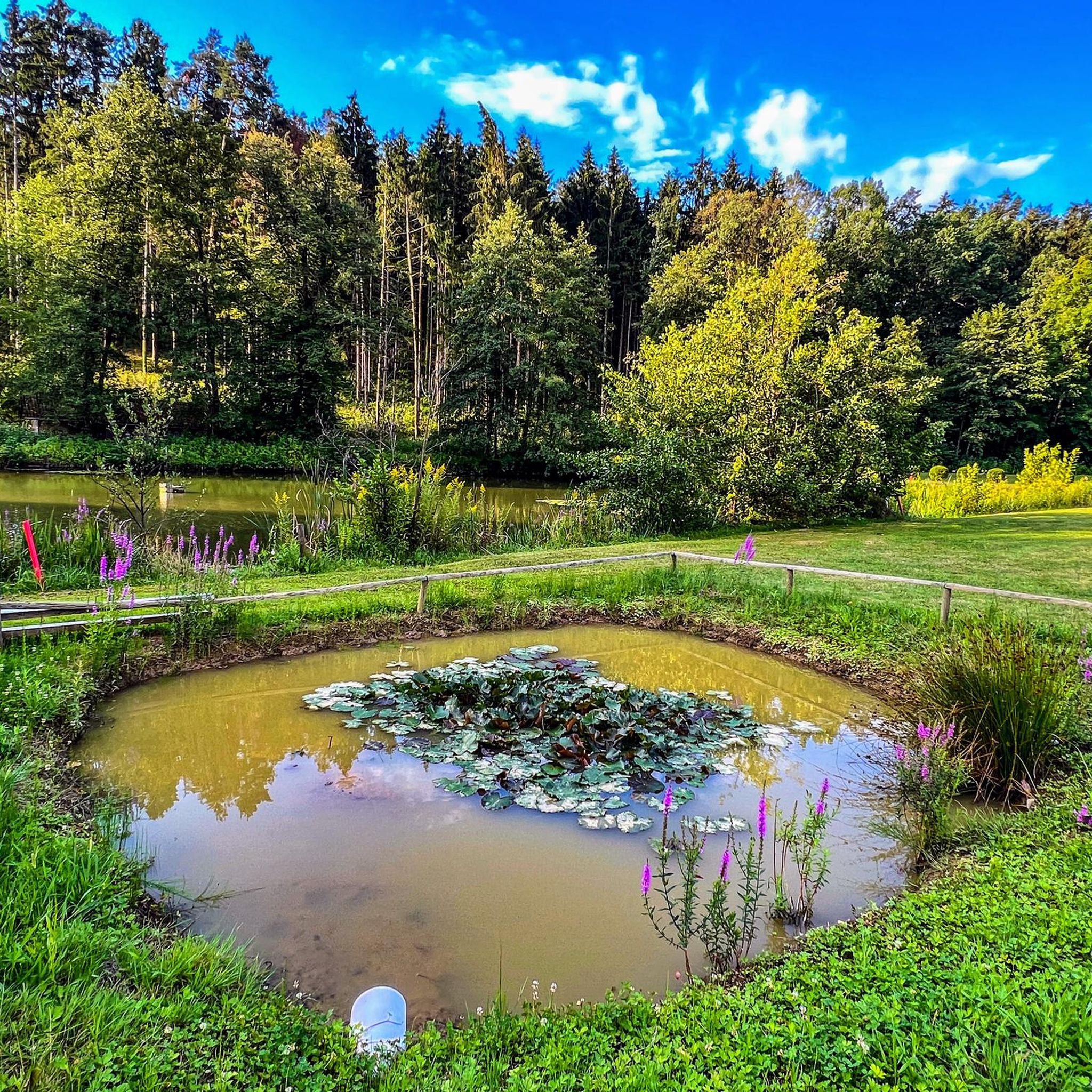
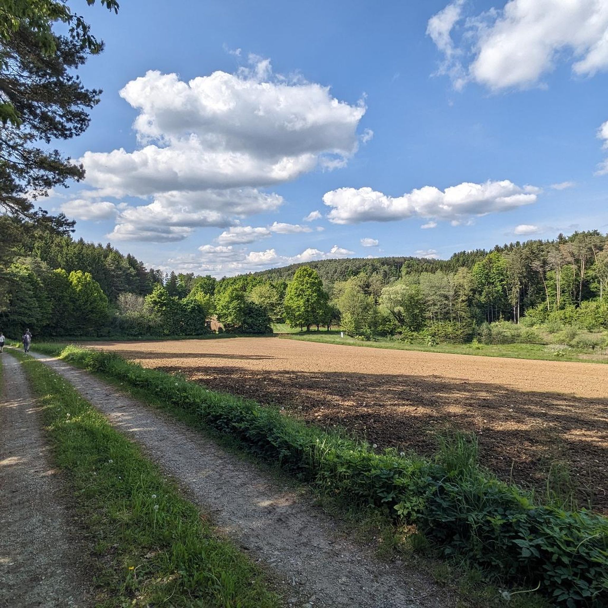
Tips from the Community

The restaurant is closed, which is no wonder
0
0
Always worth a trip or walk. A beautiful spot ... with a circular path for walking or cycling.
0
0

The beautiful river terraces are certainly a highlight.
0
0
The buffet is worth it if you like pizza or pizza sticks.
0
0
The reservoir is also often referred to as a fish pond.
0
0
The buffet is worth it if you like pizza or pizza sticks.
0
0
The reservoir is often referred to as a fish pond.
0
0
Frequently Asked Questions
What are the typical difficulty levels for gravel bike trails around Ollersdorf im Burgenland?
The gravel bike trails in Ollersdorf im Burgenland offer a range of difficulties. You'll find 3 easy routes, 17 moderate routes, and 6 more challenging routes, catering to various skill levels. The terrain generally features rolling hills and agricultural fields, making it accessible for many riders.
Are there any long-distance gravel bike routes available near Ollersdorf im Burgenland?
Yes, for those looking for a longer ride, the Hartberg – Hartberger Gmoos loop from Neudau is a great option. This route spans 41.1 miles (66.2 km) and typically takes around 4 hours 42 minutes to complete, offering varied terrain through the Hartberger Gmoos area.
Are there family-friendly gravel bike trails in Ollersdorf im Burgenland?
While specific 'family-friendly' designations aren't always explicit, the region's moderate elevation gains and mix of paved and unpaved paths mean many of the 3 easy and 17 moderate routes could be suitable for families. Consider routes with less elevation for a more relaxed experience.
What is the best season for gravel biking in Ollersdorf im Burgenland?
Ollersdorf im Burgenland is enjoyable for gravel biking across multiple seasons. Spring and autumn offer pleasant temperatures and beautiful scenery, especially through vineyards and woodlands. Summer can be great, but be mindful of warmer temperatures. Winter riding is possible, but conditions may vary, with some paths potentially being muddy or icy.
Are there any circular gravel bike routes around Ollersdorf im Burgenland?
Many of the routes in the area are designed as loops, perfect for starting and ending in the same location. For example, the Stausee Rauchwart – St. Mary's Spring, Ollersdorf loop from Ollersdorf im Burgenland is a popular moderate 24.3-mile (39.1 km) circular path exploring the lake and local springs.
What kind of natural attractions can I see along the gravel bike trails?
The region offers several natural highlights. You might encounter the tranquil Fuchsschweifteich Pond, or enjoy views from the Moor Lookout. There are also unique spots like a Biotope with benches, perfect for a rest.
Are there any historical or cultural landmarks near the gravel biking routes?
Yes, the area is dotted with interesting landmarks. You could pass by Rotenturm Castle, or see the Marian Column at the main square in Burgau. The Pilgrimage Church Maria Gnadenbrunn, Burgau also offers a glimpse into local heritage.
What do other gravel bikers enjoy most about the trails in Ollersdorf im Burgenland?
The komoot community highly rates the routes in Ollersdorf im Burgenland, with an average score of 4.5 stars from over 4 reviews. Riders often praise the diverse landscape, which includes rolling hills, agricultural fields, and scattered woodlands, as well as the well-maintained mix of paved and unpaved paths.
Are there gravel routes that pass through vineyards or offer scenic views?
Absolutely. Many routes traverse the region's characteristic vineyards and offer picturesque views. The Shelter and Bench Under Vines – Gmirtlicher Sonnenheuriger loop from Wolfau is a prime example, leading through vineyard-lined paths and rural landscapes, often completed in about 3 hours.
How many gravel bike trails are there in total around Ollersdorf im Burgenland?
There are over 25 gravel bike trails available for exploration around Ollersdorf im Burgenland, offering a wide variety of distances and difficulty levels to suit different preferences.
Are there any routes that explore the area around Stausee Rauchwart?
Yes, the Stausee Rauchwart – St. Mary's Spring, Ollersdorf loop from Ollersdorf im Burgenland specifically explores the area around Stausee Rauchwart and local springs, providing a scenic ride around this water body.
Can I find routes that include castles or other historical sites?
Yes, some routes will take you past historical points of interest. For instance, the Burgau Outdoor Swimming Pool – Burgau Water Castle loop from Burgau includes the notable Burgau Water Castle, offering a blend of cycling and sightseeing.
Most popular routes around Ollersdorf im Burgenland
Most popular attractions around Ollersdorf im Burgenland

Get inspired with the komoot mobile app


Explore more
Browse the best Gravel rides in other regions.
