The best gravel rides around Flaurling
4.5
(216)
1,451
riders
31
rides
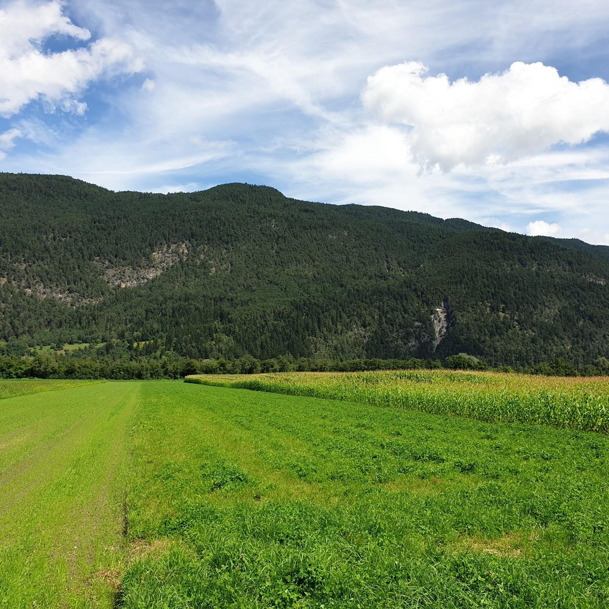
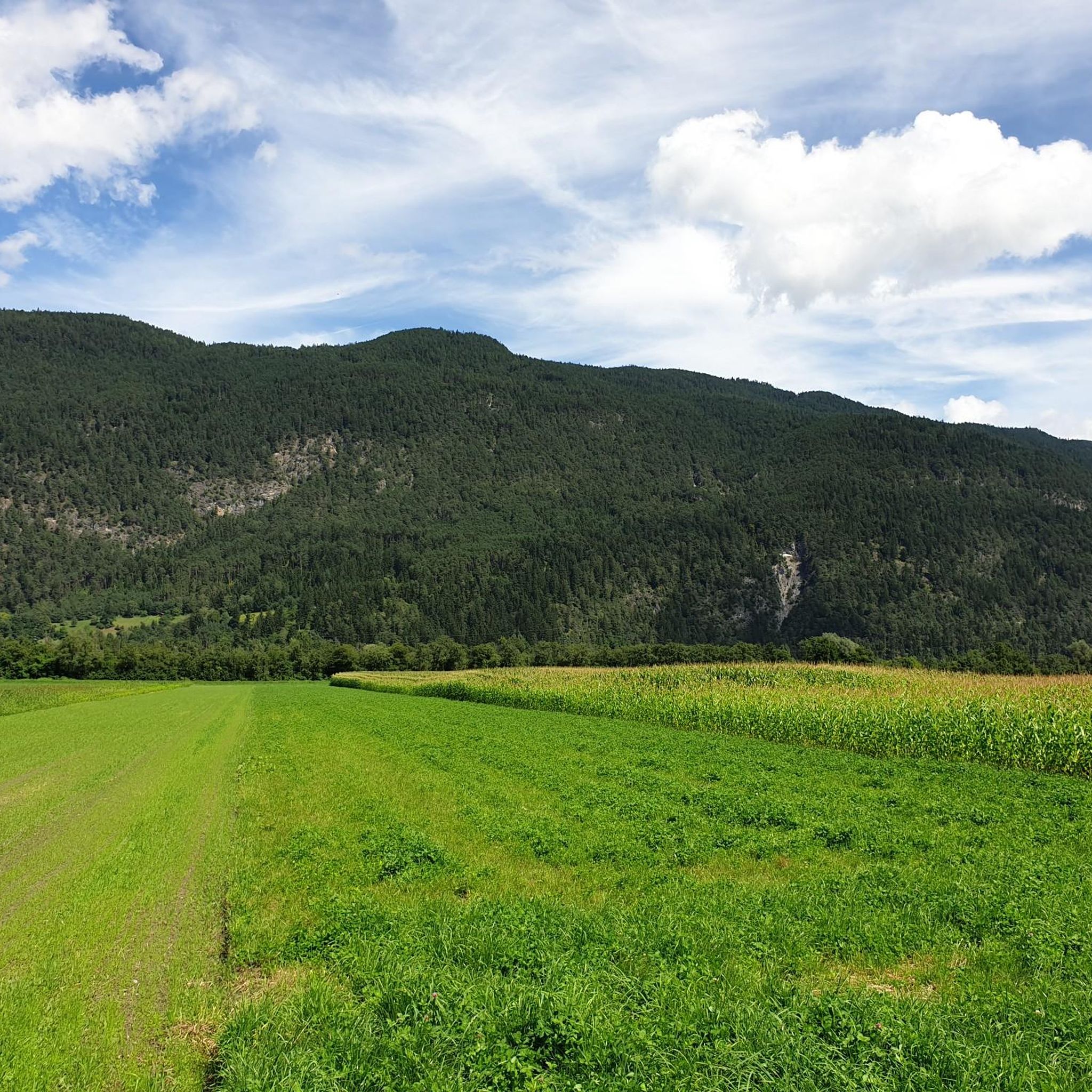
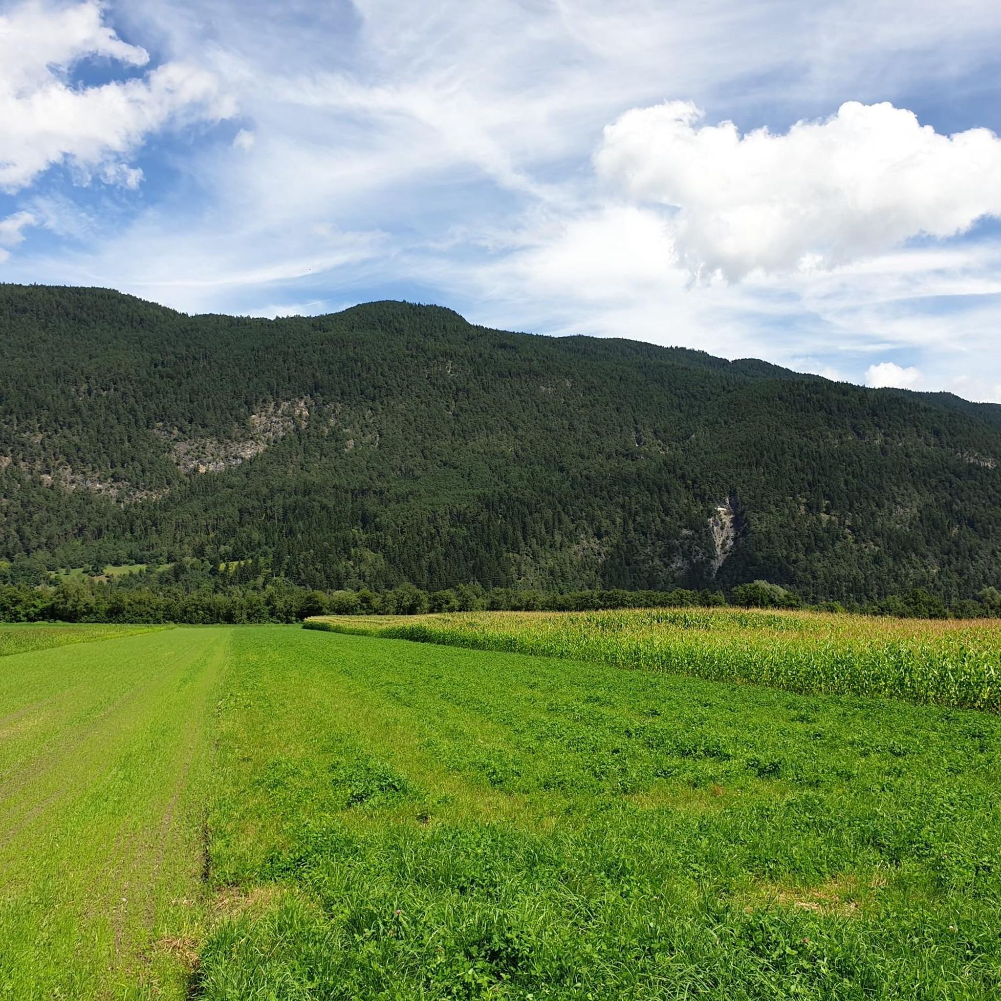
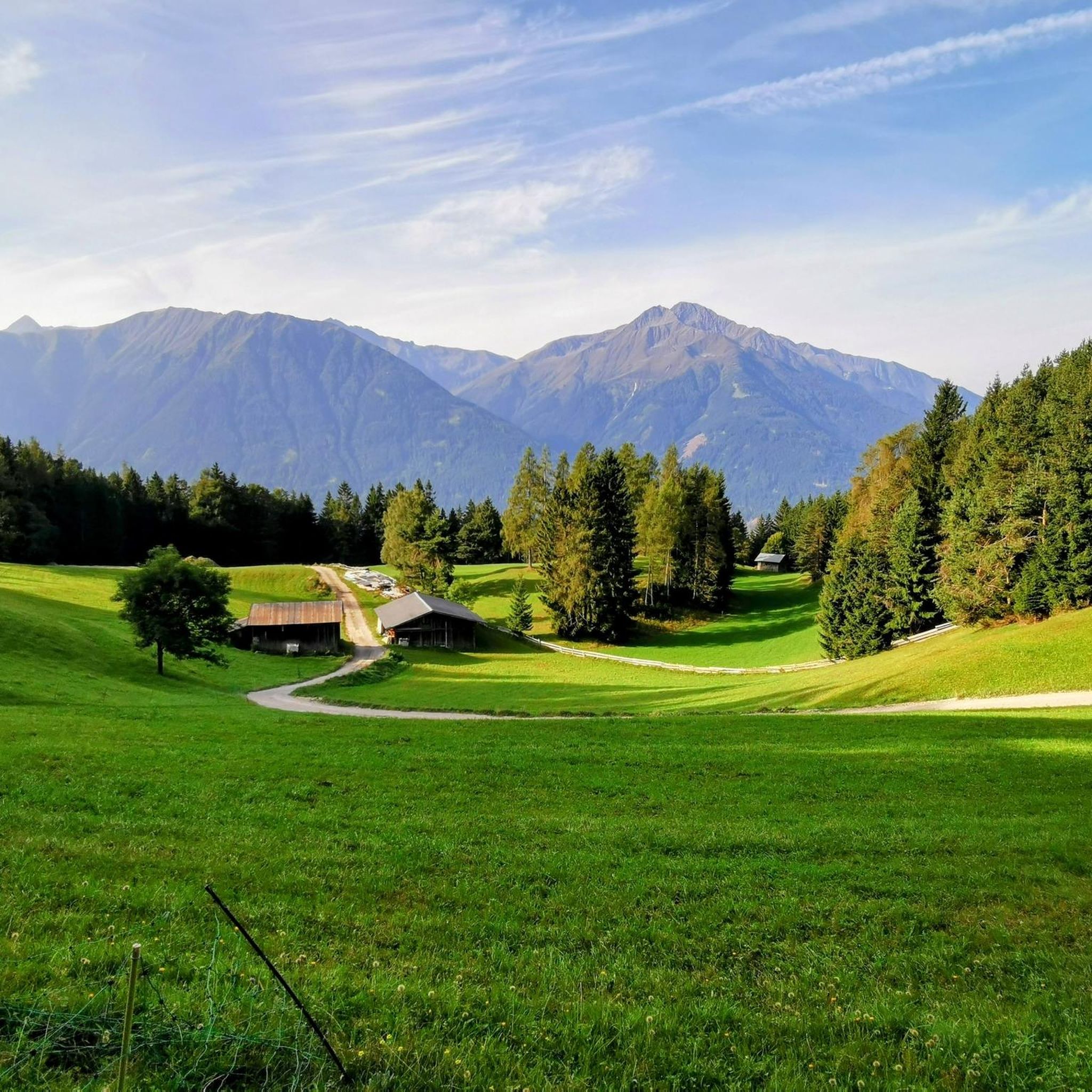
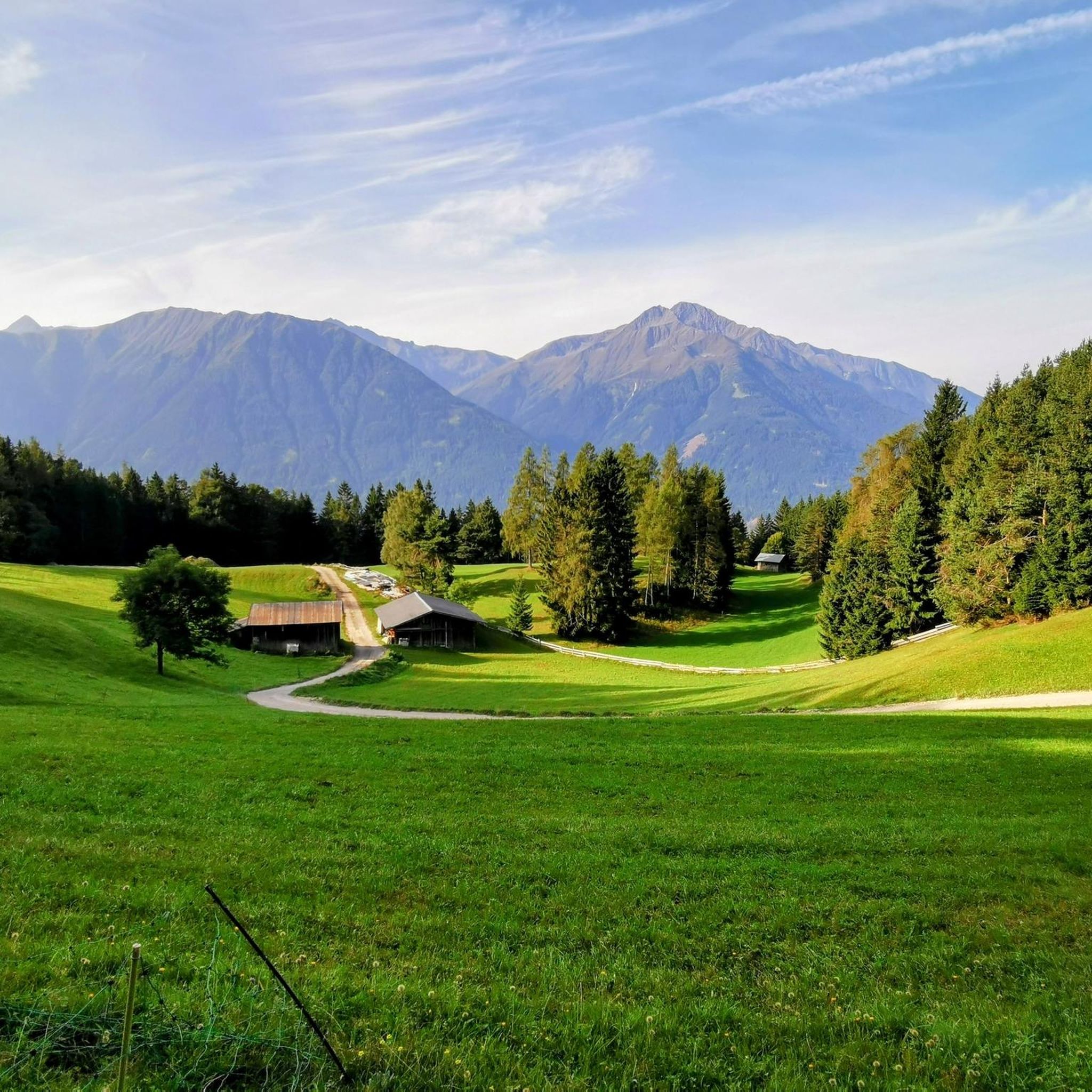
Gravel biking around Flaurling offers diverse terrain within Tyrol, Austria, characterized by green valleys, dark forests, and alpine meadows. The region provides access to an extensive network of gravel tracks and forest roads, often running alongside crystal-clear rivers. Its location in the Inn Valley allows for routes that can lead towards the Tux Alps, offering varied landscapes and views of impressive mountain peaks. This area presents a blend of challenging climbs and scenic routes suitable for different skill levels.
Best…
Last updated: October 19, 2026
4.6
(80)
460
riders
42.3km
02:31
550m
550m
Hard gravel ride. Very good fitness required. Mostly paved surfaces. Suitable for all skill levels.
4.8
(39)
296
riders
54.2km
03:30
970m
970m
Hard gravel ride. Very good fitness required. Mostly paved surfaces. Suitable for all skill levels.

4.9
(17)
100
riders
59.2km
03:36
850m
850m
Hard gravel ride. Very good fitness required. Mostly paved surfaces. Suitable for all skill levels.
4.8
(5)
44
riders
42.1km
03:05
1,070m
1,070m
Hard gravel ride. Very good fitness required. Mostly paved surfaces. Suitable for all skill levels.
4.1
(9)
85
riders
35.8km
01:59
350m
350m
Moderate gravel ride. Good fitness required. Mostly paved surfaces. Suitable for all skill levels.
Get access to more routes and recommendations from other explorers.
Already have an account?
Our route recommendations are based on thousands of hikes, rides, and runs completed by other people on komoot.
Start today with a free account
Your next adventure awaits.
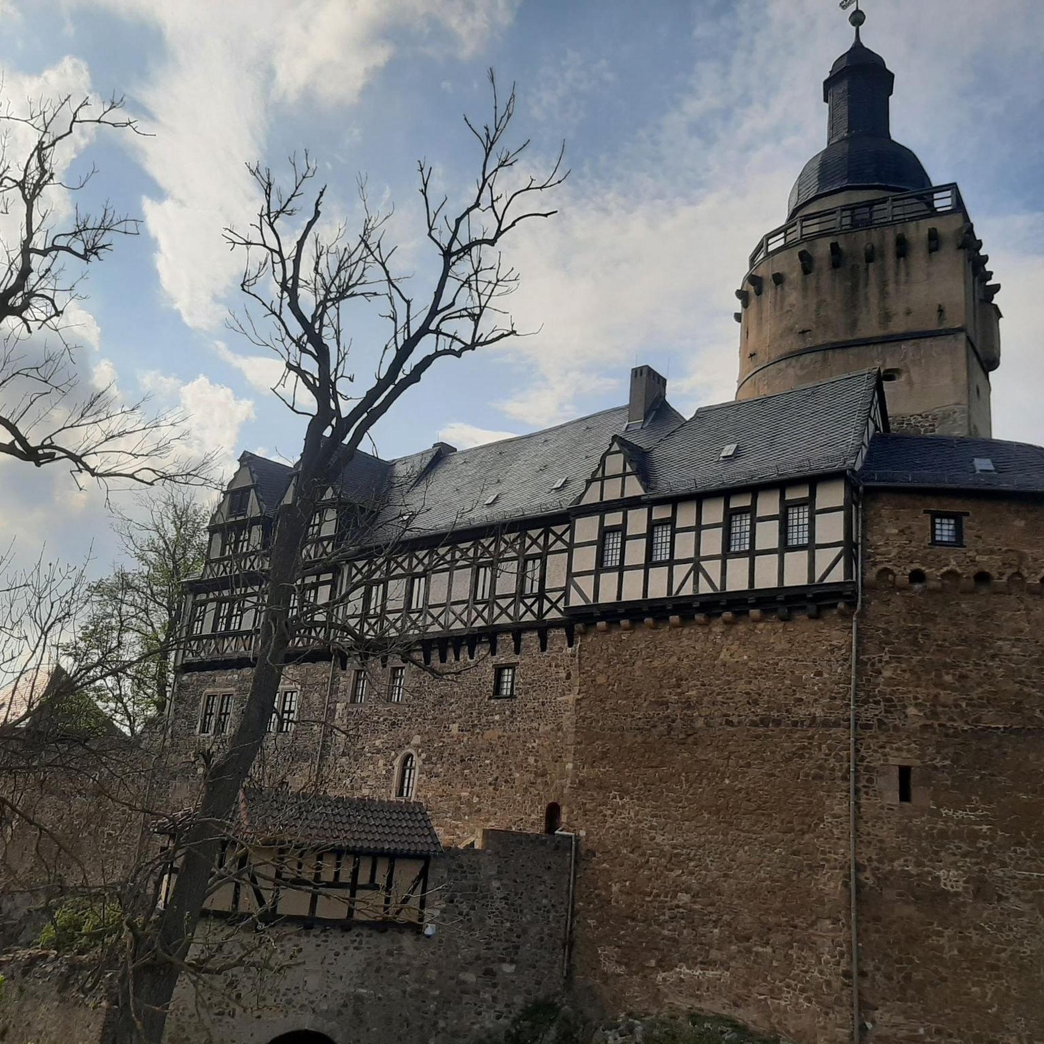
Tips from the Community


A dream, we also call it Little Canada
0
0

Cycle path along the Leutascher Ache from Leutasch to Mittenwald.
0
0

It's just the living room of the city. https://www.seefeld.com/de/infrastrukturen/pfarrkirche-st-oswald.html
0
0

Beautiful town center with many places to stop for refreshments. The municipality lies on a plateau between the Wetterstein Mountains and the Karwendel Mountains, on an old road from Mittenwald to Innsbruck that has been important since the Middle Ages.
1
0

Unfortunately it had rained, but it was still nice for cycling.
0
0

The facades and houses, the shops and flowers, everything is very lovingly maintained.
2
0
An experience to see the city.
3
0
Frequently Asked Questions
How many gravel bike trails are available around Flaurling?
Flaurling offers a good selection of gravel biking opportunities, with over 40 routes available. These range from moderate to difficult, catering to various skill levels.
What kind of terrain can I expect on gravel bike trails near Flaurling?
The terrain around Flaurling is incredibly diverse, characteristic of Tyrol. You'll find green valleys, dark forests, and alpine meadows. Routes often follow forest roads and riverside paths, particularly in the Inn Valley, and can lead towards the challenging landscapes of the Tux Alps.
Are there gravel bike routes suitable for beginners or those looking for a moderate ride?
Yes, there are several moderate routes perfect for those newer to gravel biking or seeking a less strenuous ride. For example, the Wildmoossee – Wildmoosalm loop from Leutasch is a moderate 22.8 km trail offering scenic views around a lake and alpine pasture.
What about more challenging gravel bike routes in the Flaurling area?
For experienced gravel bikers seeking a challenge, Flaurling and its surroundings offer numerous difficult routes. The Inn Cycle Path at Sieglanger – Inn Valley Cycle Path (Sieglanger) loop from Gries im Sellrain is a difficult 47.8 km path that follows the Inn Cycle Path, providing extensive riverside and valley views with significant elevation changes.
Are there any circular gravel bike routes in the area?
Many of the gravel bike routes around Flaurling are designed as loops, allowing you to start and end in the same location. An example is the Descent to Telfs – Leutasch sign loop from Telfs, a 34.0 km trail through varied terrain.
What natural features or landmarks can I see along the gravel bike trails?
The region is rich in natural beauty. You can encounter stunning viewpoints like the View of Telfs and the Inn Valley, or explore impressive gorges such as the Schlossbachklamm Gorge. The area also features mountain passes like Kühtai Pass, offering breathtaking alpine scenery.
When is the best time of year for gravel biking in Flaurling?
The diverse Tyrolean landscape makes spring through autumn ideal for gravel biking in Flaurling. During these seasons, you'll experience pleasant temperatures and lush scenery, from green valleys to alpine meadows. Always check local weather conditions before heading out.
Are there options for winter gravel biking in Flaurling?
While many higher alpine routes may be inaccessible due to snow in winter, the lower valley paths and forest roads around Flaurling can still offer opportunities for gravel biking, especially on clear days. It's advisable to check local conditions and trail accessibility, as some routes might be icy or closed.
Is parking available for gravel bikers in Flaurling?
Yes, parking is generally available in and around Flaurling, often near trailheads or in village centers. Specific parking information can usually be found on individual route descriptions or local tourism websites.
Can I reach the gravel bike trails using public transport?
Flaurling is situated in the Inn Valley, which has good public transport connections. You can often reach starting points for gravel bike routes via train or bus, though it's recommended to check if bikes are permitted on the specific service you plan to use.
Are there places to stop for refreshments or accommodation near the trails?
Flaurling and the surrounding villages offer various options for refreshments, including cafes and traditional Tyrolean inns. You'll also find accommodation ranging from guesthouses to hotels, particularly in larger towns like Telfs or Innsbruck, which are easily accessible from Flaurling.
What do other gravel bikers enjoy most about gravel biking in Flaurling?
The komoot community highly rates the gravel biking experience in Flaurling, with an average score of 4.7 stars from over 150 reviews. Riders often praise the varied terrain, from quiet forest roads to scenic riverside paths, and the stunning alpine backdrops that make each ride unique.
Most popular attractions around Flaurling

Get inspired with the komoot mobile app


Explore more
Browse the best Gravel rides in other regions.
