The best gravel rides around Turbenthal
4.2
(81)
706
riders
75
rides
Gravel biking around Turbenthal offers diverse terrain within the Upper Töss Valley, characterized by rural landscapes, extensive forests, and varied elevation. The region features a mix of unpaved roads and forest paths, providing a suitable environment for gravel cyclists. Rolling hills and picturesque villages are common along the routes. This area provides a network of trails designed to handle varied surfaces, catering to different skill levels.
Best gravel bike trails around Turbenthal
- The most popular gravel bike trail is Schauenberg…
Last updated: July 2, 2026
4.7
(16)
70
riders
33.8km
02:51
570m
570m
Hard gravel ride. Very good fitness required. Mostly paved surfaces. Suitable for all skill levels.
3.7
(3)
19
riders
32.5km
02:39
570m
570m
Hard gravel ride. Very good fitness required. Mostly paved surfaces. Suitable for all skill levels.

Sign up for free
4.7
(3)
25
riders
33.2km
02:24
670m
670m
Hard gravel ride. Very good fitness required. Mostly paved surfaces. Suitable for all skill levels.
4.5
(4)
29
riders
43.5km
02:35
520m
520m
Hard gravel ride. Very good fitness required. Mostly paved surfaces. Suitable for all skill levels.
4.5
(2)
13
riders
69.2km
04:09
650m
650m
Hard gravel ride. Very good fitness required. Mostly paved surfaces. Suitable for all skill levels.
Get access to more routes and recommendations from other explorers.
Sign up for free
Already have an account?
Our route recommendations are based on thousands of hikes, rides, and runs completed by other people on komoot.
Start today with a free account
Your next adventure awaits.
Login or Signup

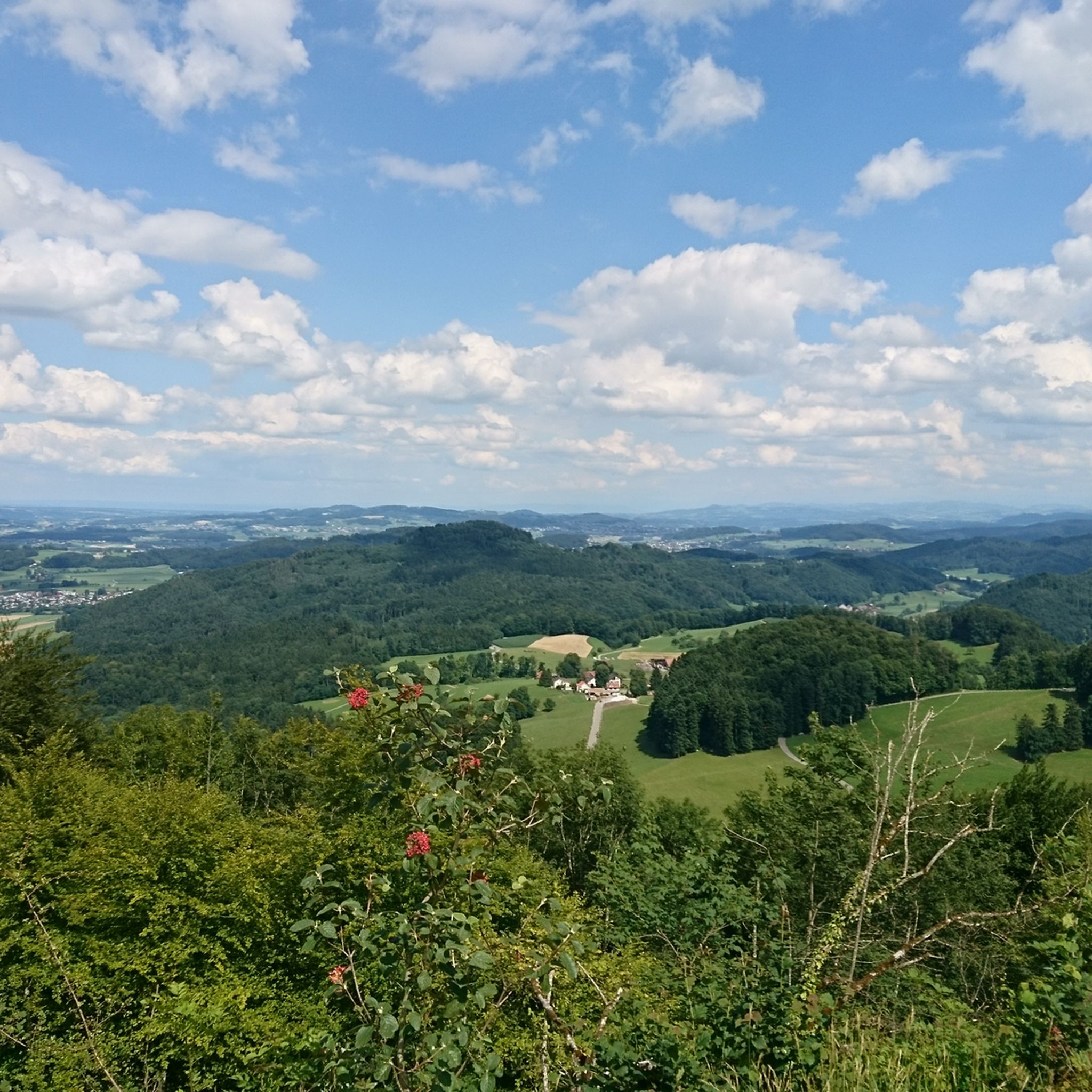
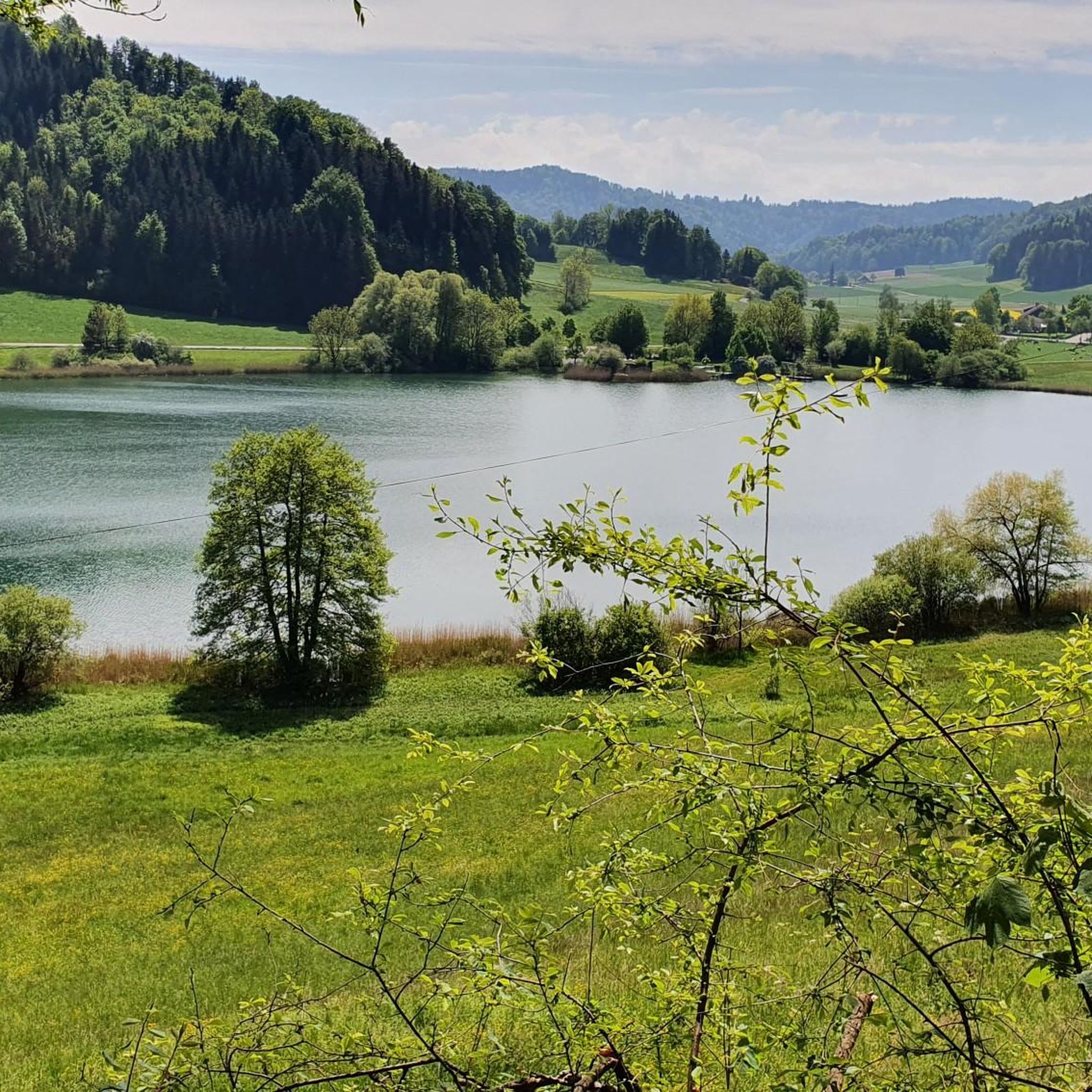
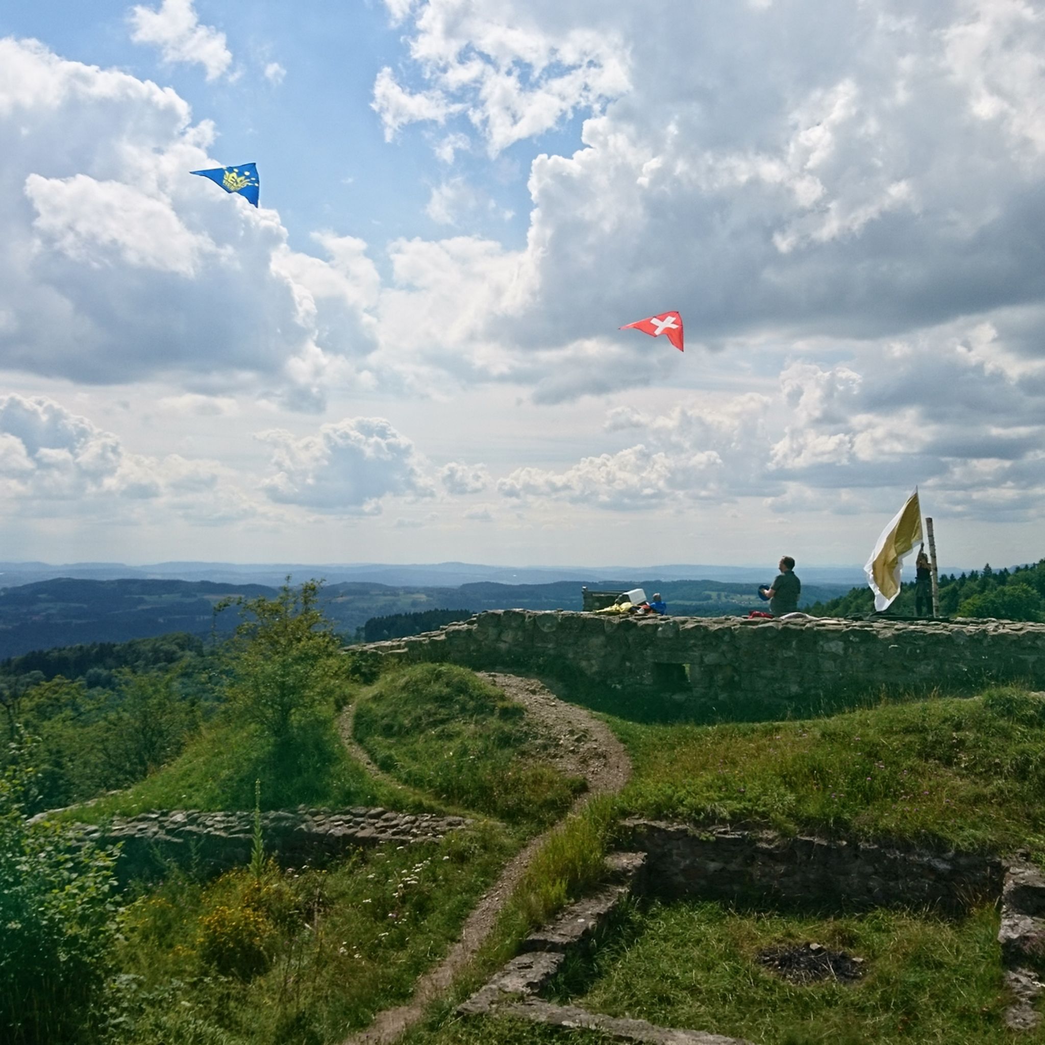
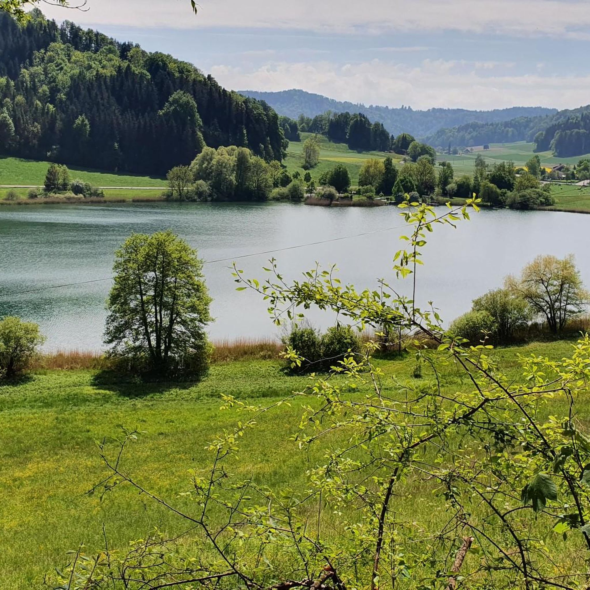
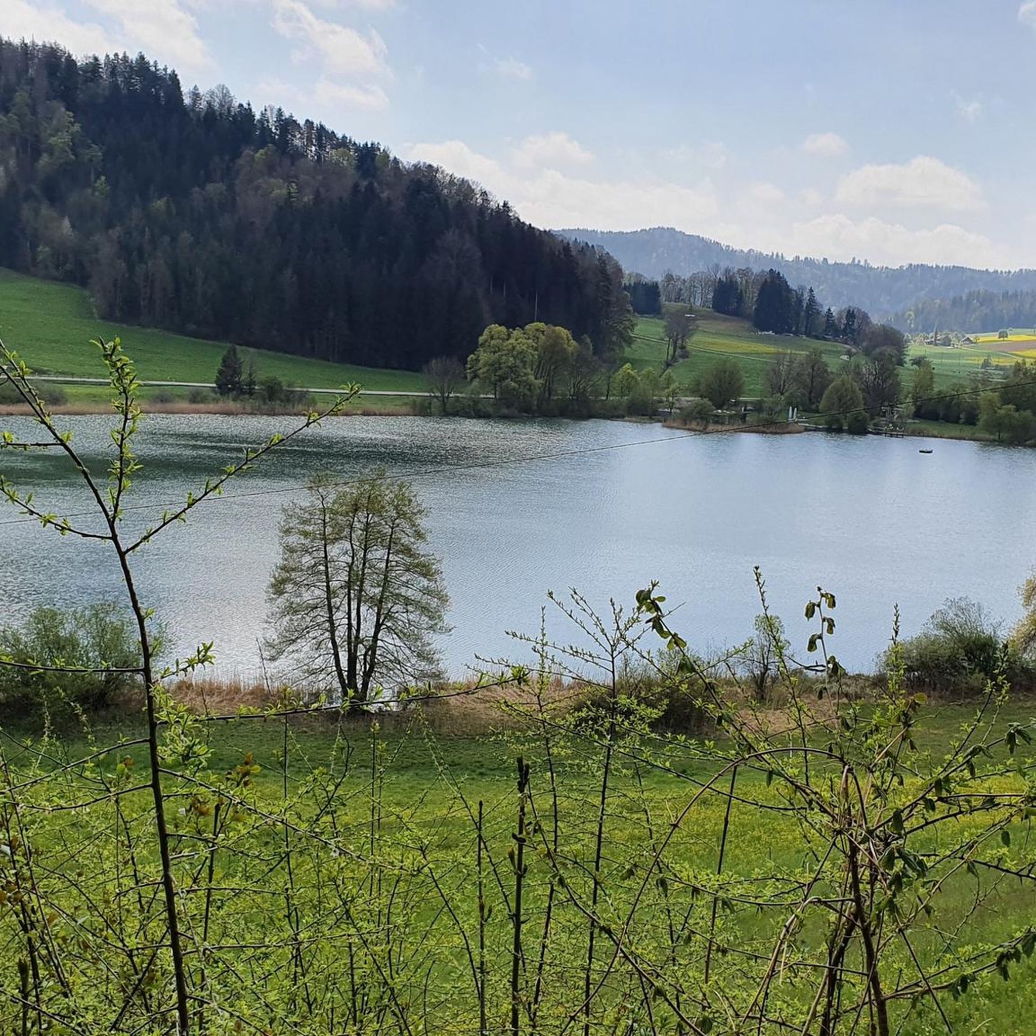
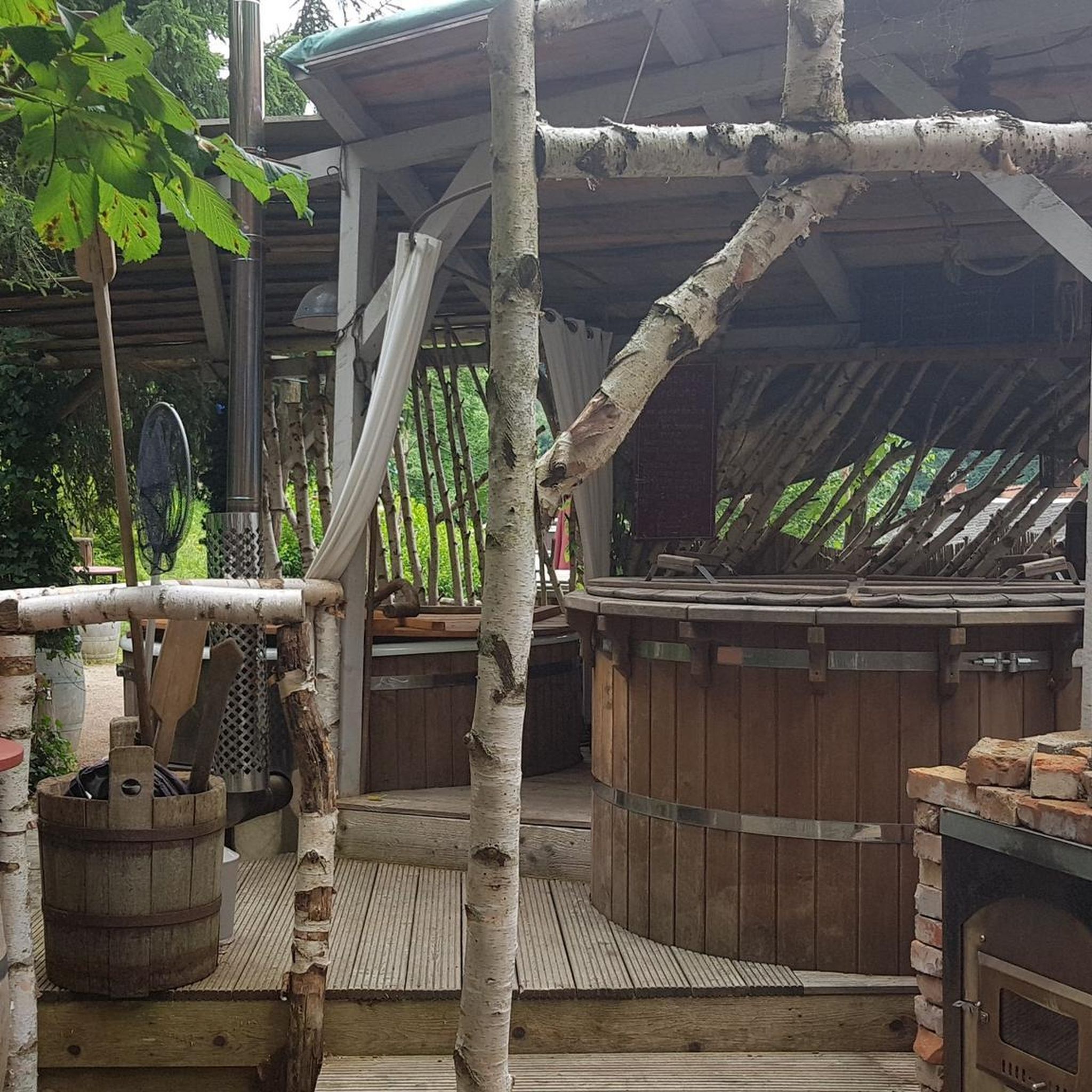
Other adventures around Turbenthal

Tips from the Community


Long cycle path, often separated from the main road, up the entire Tösstal from Sennhof to Gibswil. Quite busy.
0
0

In the Netherlands, that could actually pass as a passport. Someone has gone way overboard here.
0
0

If you are cycling along the Thur river on gravel, you will have to drive under this bridge.
1
0

Be sure to follow the bike sign; this will make for a more pleasant ride into the heart of the old town, which is well worth it for history buffs.
1
0

Consistently good surface away from the main road
0
0

well marked as SwitzerlandMobility Route 999
1
0
Frequently Asked Questions
How many gravel bike trails are available around Turbenthal?
There are over 100 gravel bike trails around Turbenthal, offering a wide variety of routes for different skill levels. The komoot community has explored 118 routes in total.
What kind of terrain can I expect on gravel bike trails in Turbenthal?
Gravel biking in Turbenthal features diverse terrain, including unpaved roads, forest paths, and scenic trails. You'll encounter rolling hills, extensive forests, and varied elevation, with many routes offering challenging climbs through the Upper Töss Valley.
Are there any circular gravel bike routes in Turbenthal?
Yes, many routes in Turbenthal are circular. For example, the challenging Schauenberg gravel circuit is a 33.8 km loop with significant elevation gain and panoramic views. Another option is the Töss River Bike Path – Töss River Cycle Path loop from Eschlikon, which is 43.1 km long and follows the Töss Valley.
What are some scenic viewpoints or landmarks I can visit while gravel biking in Turbenthal?
The region offers several scenic spots. The Schauenberg Ruins and Panoramic Viewpoint provides distant views, with the Alps visible on clear days. The Hörnli Summit is also known as one of the most scenic viewpoints in the canton of Zurich. You can also explore historical sites like the Irgenhausen Roman Fort or Hegi Castle.
Are there any waterfalls or gorges along the gravel bike routes?
Yes, the area around Turbenthal features several beautiful waterfalls and gorges. You might encounter the Hutziker Tobel Waterfalls, Giessenfall Waterfall, or the Farenbachtobel Gorge, which are popular highlights for visitors.
What is the best time of year to go gravel biking in Turbenthal?
The diverse landscapes of Turbenthal are enjoyable throughout much of the year. Spring and autumn generally offer pleasant temperatures and vibrant scenery, while summer provides longer daylight hours. Always check local weather conditions before heading out.
What do other gravel bikers enjoy most about the trails in Turbenthal?
The gravel bike trails in Turbenthal are highly rated by the komoot community, with an average score of 4.3 stars from over 100 reviews. Riders often praise the raw beauty of the diverse terrain, the challenging climbs, and the picturesque views, especially from spots like the Hörnli Summit.
Are there any challenging gravel bike routes for experienced riders?
Absolutely. Turbenthal is known for its challenging routes. The Sitzberg-Sternenberg-Gravel circuit is a difficult 32.5 km path with challenging climbs through forested sections. Another demanding option is the Thur River Trail – Thur Riverside Trail loop from Aadorf, which spans 69.2 km with significant elevation.
Can I find routes that offer views of the Alps?
Yes, on clear days, the Alps are visible from various vantage points in the Turbenthal region, adding to the grandeur of the landscape. The Hörnli Summit and the Schauenberg Ruins and Panoramic Viewpoint are particularly good for expansive vistas.
Are there any gravel routes that pass through picturesque villages?
Many routes in Turbenthal traverse rural areas and picturesque villages. The region is characterized by its charming local communities like Sitzberg, offering a blend of natural beauty and cultural discovery as you cycle through.
What is the longest gravel bike route available in the Turbenthal area?
One of the longer and more challenging routes is the Thur River Trail – Thur Riverside Trail loop from Aadorf, which covers approximately 69.2 km and includes over 650 meters of elevation gain.
Most popular routes around Turbenthal
Most popular attractions around Turbenthal

Get inspired with the komoot mobile app


Explore more
Browse the best Gravel rides in other regions.
