The best gravel rides around Uttendorf
4.7
(233)
1,716
riders
37
rides
Gravel biking around Uttendorf offers routes through the diverse terrain of SalzburgerLand, characterized by alpine valleys, forested slopes, and mountain passes. The region features significant elevation changes, with trails often ascending to panoramic viewpoints. Gravel paths wind through natural landscapes, connecting various points of interest within the area.
Best gravel bike trails around Uttendorf
- The most popular gravel bike trail is Resterhöhe Tour – gravel in the SalzburgerLand, a 33.3 miles (53.5 km) trail that takes 5 hours 49…
Last updated: October 19, 2026
5.0
(3)
21
riders
53.5km
05:49
1,620m
1,620m
Hard gravel ride. Very good fitness required. Mostly paved surfaces. Suitable for all skill levels.
5.0
(6)
51
riders
36.8km
03:50
920m
920m
Hard gravel ride. Very good fitness required. Mostly paved surfaces. Suitable for all skill levels.

16
riders
51.2km
05:26
1,520m
1,520m
Hard gravel ride. Very good fitness required. Mostly paved surfaces. Suitable for all skill levels.
5.0
(5)
28
riders
24.4km
02:09
550m
550m
Hard gravel ride. Very good fitness required. Mostly paved surfaces. Suitable for all skill levels.
4.3
(3)
15
riders
27.1km
02:53
780m
780m
Hard gravel ride. Very good fitness required. Mostly paved surfaces. Suitable for all skill levels.
Get access to more routes and recommendations from other explorers.
Already have an account?
Our route recommendations are based on thousands of hikes, rides, and runs completed by other people on komoot.
Start today with a free account
Your next adventure awaits.
Popular around Uttendorf
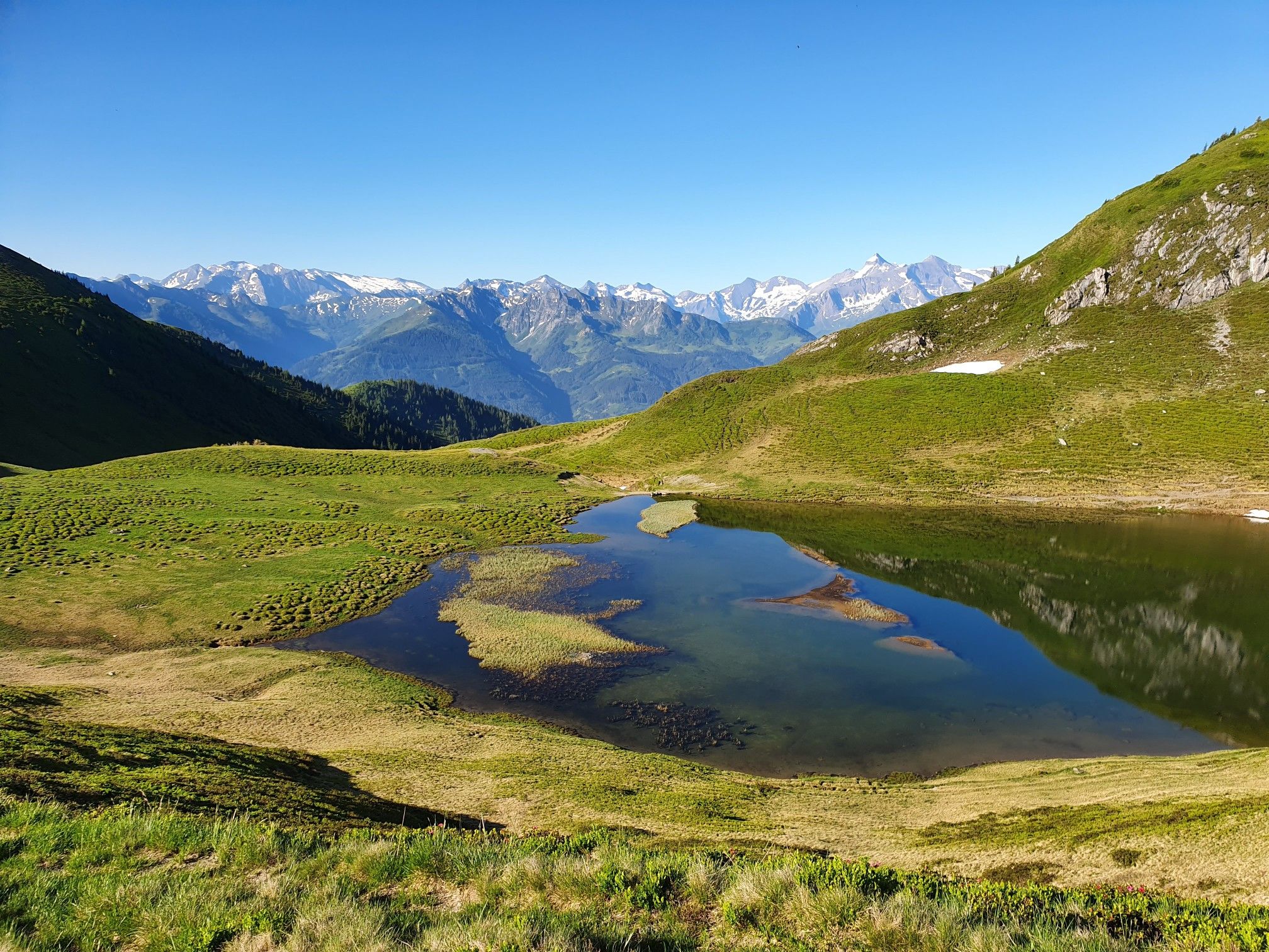
Hohe Tauern Panorama Trail – Face-to-face with 3000-metre peaks
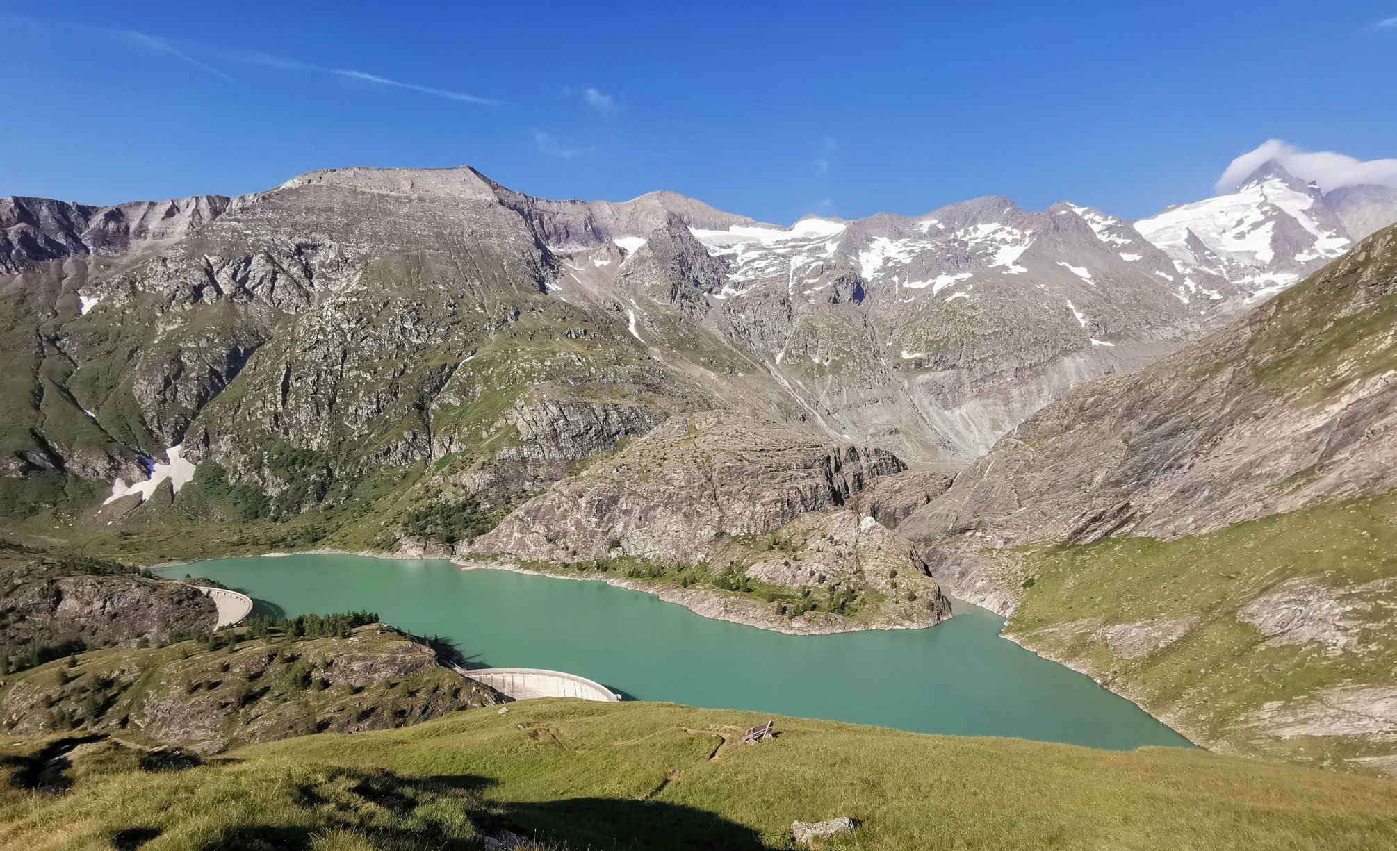
The Grossglockner – Circumnavigate Austria's highest mountain
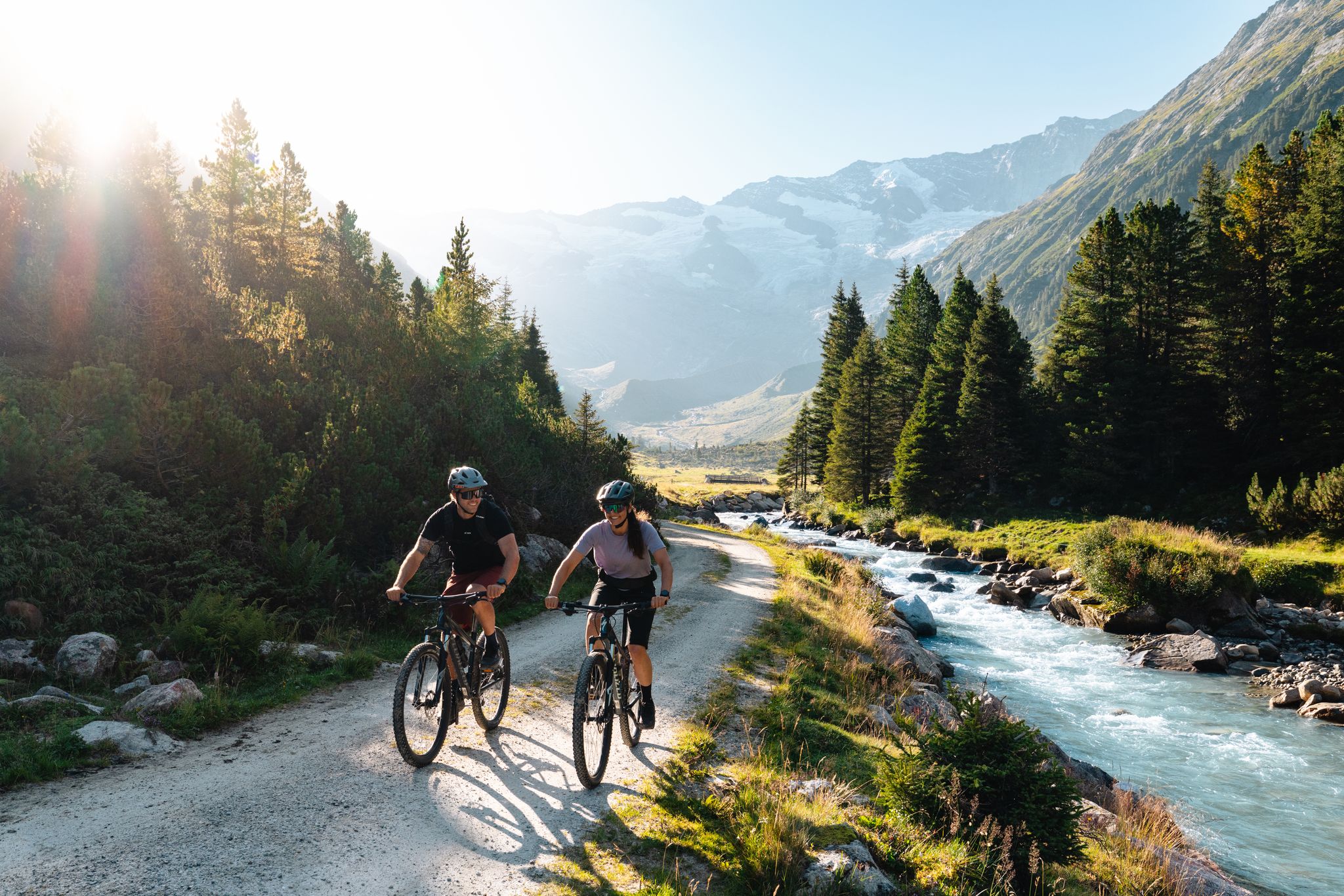
14 stages through the national park valleys – Hohe Tauern Bike Trail
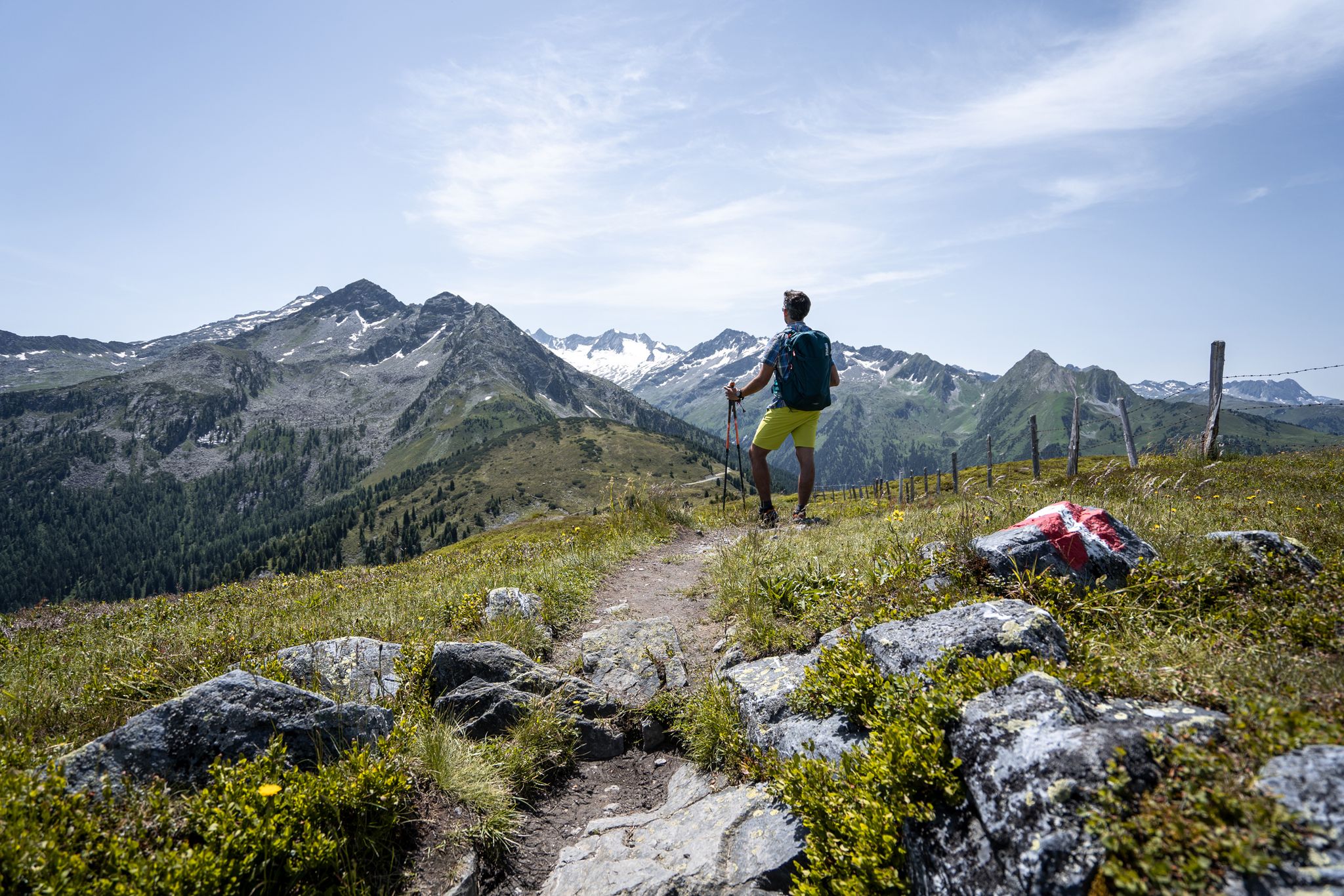
Best views of the highest mountains — Hohe Tauern Panorama Trail
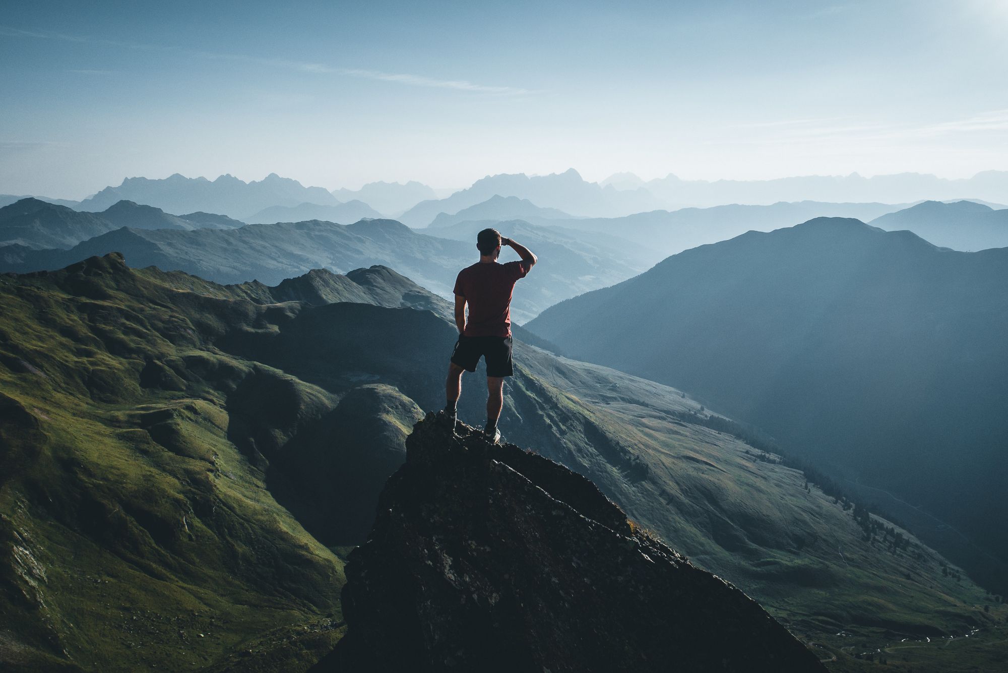
On a voyage of discovery in Austria’s High Tauern National Park
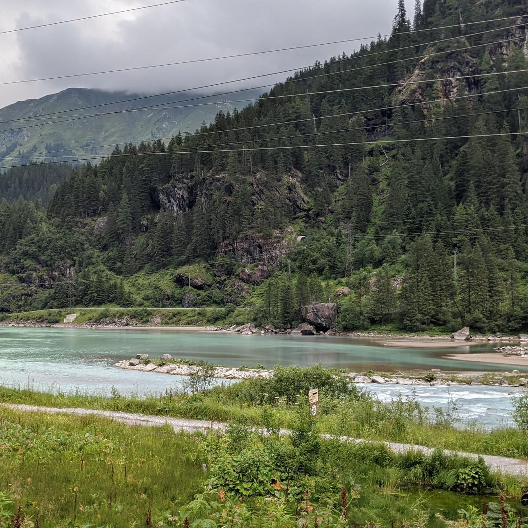
Hiking around Uttendorf
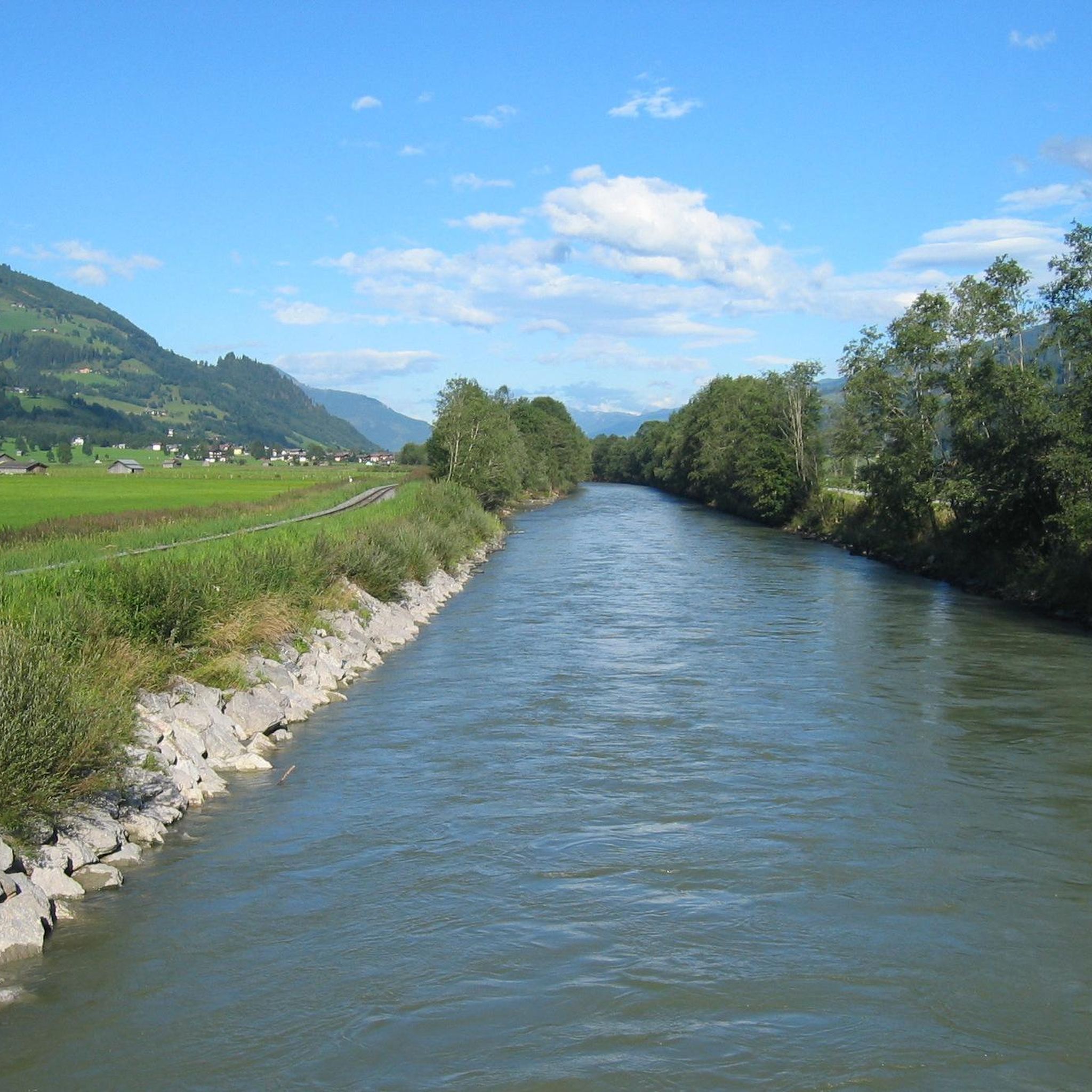
Road Cycling Routes around Uttendorf
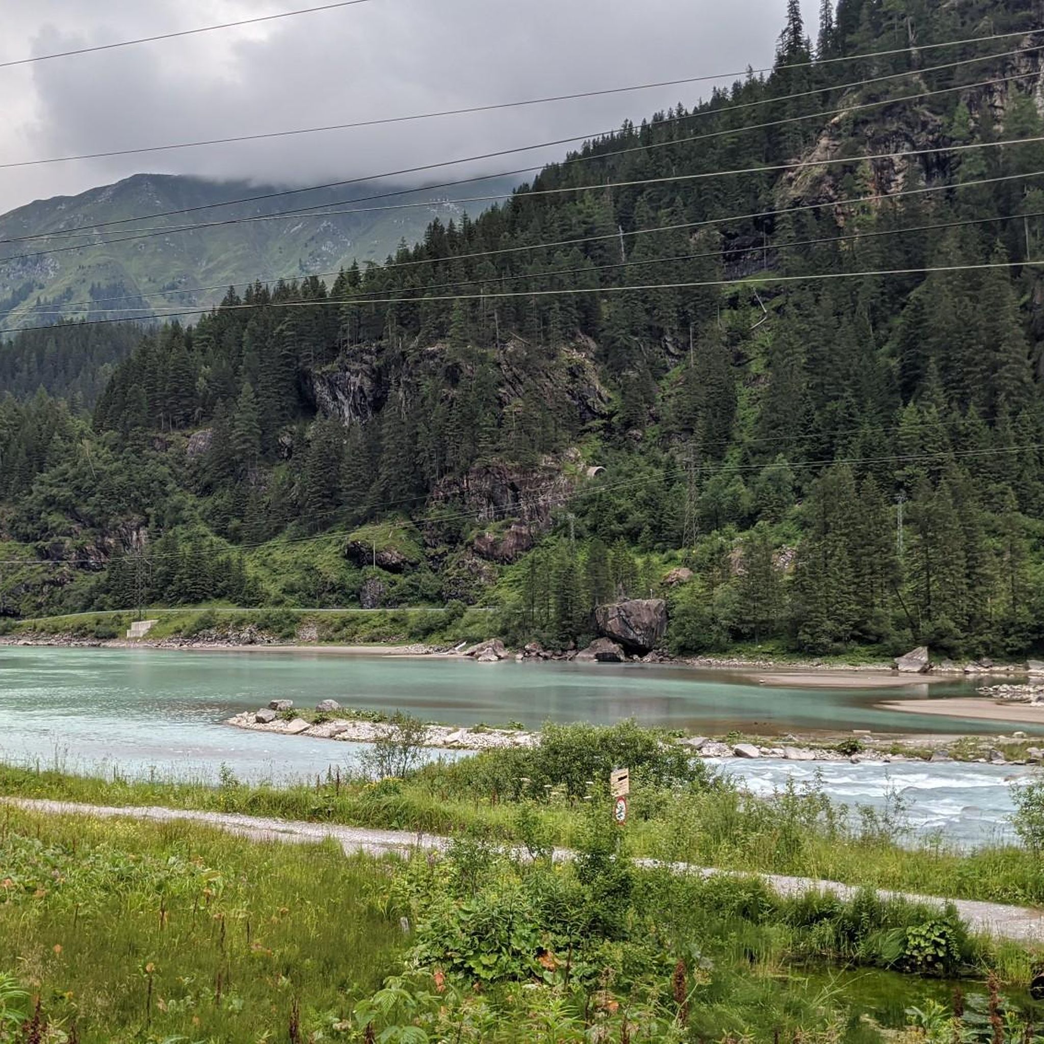
Cycling around Uttendorf
MTB Trails around Uttendorf
Mountain Hikes around Uttendorf
Other adventures around Uttendorf


Tips from the Community

tolles Hotel zu einem guten Preis- Leistungsverhältnis! sehr schöner Wellnessbereich! sehr schöne Zimmer! Frühstücksbuffet ist ausbaufähig!
0
0

Nature trail through the moor. Approximately 1 km long. At the end, a small viewing tower with toilets. The information boards are bilingual.
0
0
If possible, ride in spring during the thaw. Then they are most impressive. The alternative ascent to the hut takes approx. 1.5 hours.
0
0

A beautiful area that invites you to stroll and hike. Valuable tips can be found on the information boards along the wayside.
0
0

Impressive scenery, but easy to reach by car, so you're not alone.
1
0


Beautiful area and a great cycle path to experience it.
0
0

A stunning view from the head of the valley. Further up, there's a place to leave your bike and hike for two hours to the "Neue Fürther Hütte" (New Fürth Hut). Due to the snowfields, we could only hike a short distance uphill, but the view was well worth it. Hiking boots are essential! The hut's opening hours can be found online.
0
0
Frequently Asked Questions
How many gravel bike trails are available around Uttendorf?
There are over 50 gravel bike trails in the Uttendorf area, offering a wide range of options for different skill levels and preferences.
Are there any easy gravel bike routes suitable for beginners in Uttendorf?
While many routes in Uttendorf are challenging, there is at least one easy gravel bike route available. Most trails are rated as moderate to difficult due to the alpine terrain and significant elevation changes.
What are some of the longer and more challenging gravel bike routes in the region?
For experienced riders seeking a challenge, the Resterhöhe Tour – gravel in the SalzburgerLand is a difficult 33.3-mile (53.5 km) trail with substantial climbs. Another demanding option is the Hollersbachtal Tour – gravel in the SalzburgerLand, covering 22.9 miles (36.8 km) through varied terrain.
Are there any family-friendly gravel biking options near Uttendorf?
For families or those looking for a less strenuous ride, consider routes that stick to flatter valley sections or designated bike paths. The Hintersee Tour, at 15.2 miles (24.4 km), offers a scenic ride around the lake area, which might be more suitable for a family outing, though it is still rated as difficult.
What is the best time of year for gravel biking in Uttendorf?
The prime season for gravel biking in Uttendorf typically runs from late spring through early autumn (May to October). During these months, the weather is generally more stable, and mountain passes are clear of snow, offering the best conditions for exploring the diverse alpine landscape.
Can I go gravel biking in Uttendorf during winter?
Gravel biking in Uttendorf during winter can be challenging due to snow and ice, especially at higher elevations and on mountain passes. Many trails may be impassable or require specialized winter equipment. It's advisable to check local conditions and trail closures before planning a winter ride.
Are there circular gravel bike routes around Uttendorf?
Yes, many of the gravel bike routes in Uttendorf are designed as circular tours, allowing you to start and end at the same point. This makes planning your ride and logistics, such as parking, much simpler.
What kind of scenic views or attractions can I expect along the gravel bike trails?
Gravel biking in Uttendorf offers stunning alpine vistas, forested slopes, and mountain passes. You can encounter impressive natural features like the Sigmund Thun Gorge or explore areas around the Hintersee lake. Many routes also provide access to panoramic viewpoints, including various mountain peaks like Zwölferkogel.
What do other gravel bikers say about the trails in Uttendorf?
The gravel biking routes in Uttendorf are highly regarded by the komoot community, with an average rating of 4.8 stars from over 150 reviews. Riders often praise the challenging yet rewarding alpine terrain, the stunning natural beauty, and the well-maintained paths that wind through valleys and up mountain passes.
Are there any routes that offer both scenic beauty and opportunities for a break at a cafe?
While specific cafes directly on every trail are not listed, many routes pass through or near villages and towns where you can find refreshments. The region is known for its hospitality, so planning a stop in a local village along a scenic route like the Panorama Tour – Gravelbiken um Mittersill is often possible.
What should I wear for gravel biking in Uttendorf, especially in autumn?
In autumn, the weather in the alpine region can change quickly. It's recommended to wear layers, including a windproof and waterproof jacket, warm base layers, and gloves. Temperatures can vary significantly between valleys and higher elevations, so being prepared for cooler conditions is key.
Where can I find parking for gravel biking in Uttendorf?
Uttendorf and surrounding villages typically offer public parking facilities. For specific routes, it's best to check the starting point of your chosen tour on komoot, as many routes begin near designated parking areas or accessible public spaces.
Most popular routes around Uttendorf
Most popular attractions around Uttendorf

Get inspired with the komoot mobile app


Explore more
Browse the best Gravel rides in other regions.
