The best gravel rides around Kleinarl
4.4
(69)
450
riders
22
rides
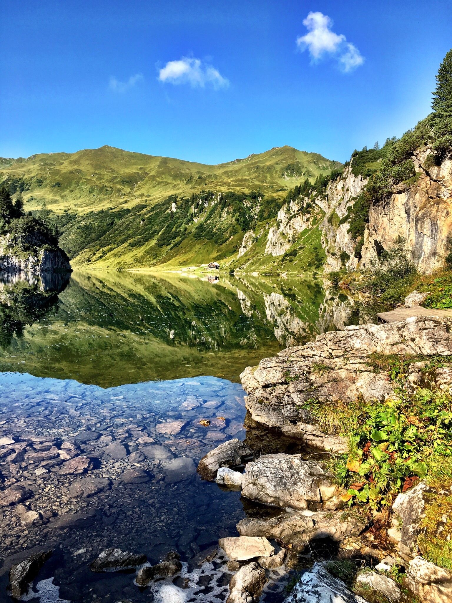
Gravel biking around Kleinarl is characterized by a diverse mountain landscape in SalzburgerLand, Austria. The region features a mix of challenging mountain trails and more leisurely paths, traversing alpine scenery, valleys, and forest roads. Riders encounter natural features such as mountain lakes like the Jägersee and the Kleinarler Ache, along with numerous peaks and lush alpine meadows. The terrain includes paved sections, forest roads, and forest and meadow paths, offering varied surfaces for gravel cyclists.
Best gravel bike trails around Kleinarl
- The most popular gravel bike trail is Filzmoos and Mandelberggut circuit from Flachau, a 31.4 miles (50.6 km) trail that takes 3 hours 42 minutes to complete. This difficult route features significant elevation gain through varied terrain.
- Another top favourite among local gravel bikers is Zauchensee Tour — gravel biking in Flachau, a difficult 23.7 miles (38.2 km) path. This route includes substantial climbing and scenic views around Zauchensee.
- Local gravel bikers also love the Jägersee via Wagrain from Flachau, a 28.9 miles (46.4 km) trail leading through alpine landscapes towards Jägersee, often completed in about 3 hours 21 minutes.
- Gravel biking around Kleinarl is defined by mountain lakes, alpine scenery, and valleys. The network offers options for various ability levels, from challenging climbs to more accessible paths.
- The routes in Kleinarl are highly rated by the komoot community with an average score of 4.6 stars from over 50 reviews. More than 400 gravel bikers have used komoot to explore Kleinarl's varied terrain.
Last updated: July 2, 2026
3.9
(7)
43
riders
50.6km
03:43
470m
470m
Hard gravel ride. Very good fitness required. Mostly paved surfaces. Suitable for all skill levels.
4.7
(9)
72
riders
38.2km
03:15
760m
760m
Hard gravel ride. Very good fitness required. Some segments of this route may be unpaved and difficult to ride.

Sign up for free
4.7
(9)
51
riders
46.4km
03:21
550m
550m
Hard gravel ride. Very good fitness required. Mostly paved surfaces. Suitable for all skill levels.
4.7
(3)
43
riders
45.9km
03:07
290m
290m
Moderate gravel ride. Good fitness required. Mostly paved surfaces. Suitable for all skill levels.
4.5
(2)
19
riders
67.8km
05:36
990m
990m
Hard gravel ride. Very good fitness required. Mostly paved surfaces. Suitable for all skill levels.
Get access to more routes and recommendations from other explorers.
Sign up for free
Already have an account?
Our route recommendations are based on thousands of hikes, rides, and runs completed by other people on komoot.
Start today with a free account
Your next adventure awaits.
Login or Signup
Popular around Kleinarl
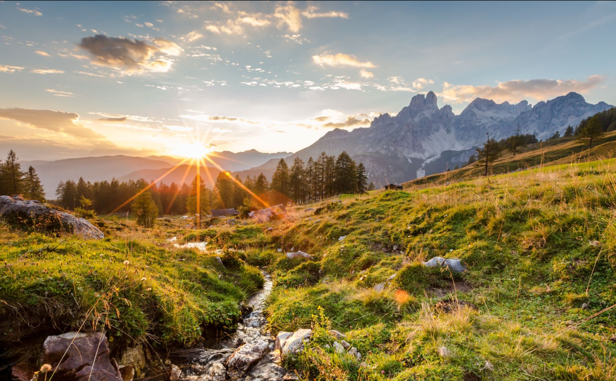
Let yourself be moved – ‘power places’ in Austria's Hiking Villages

Magnificent mountain biking on Austria's alpine pastures
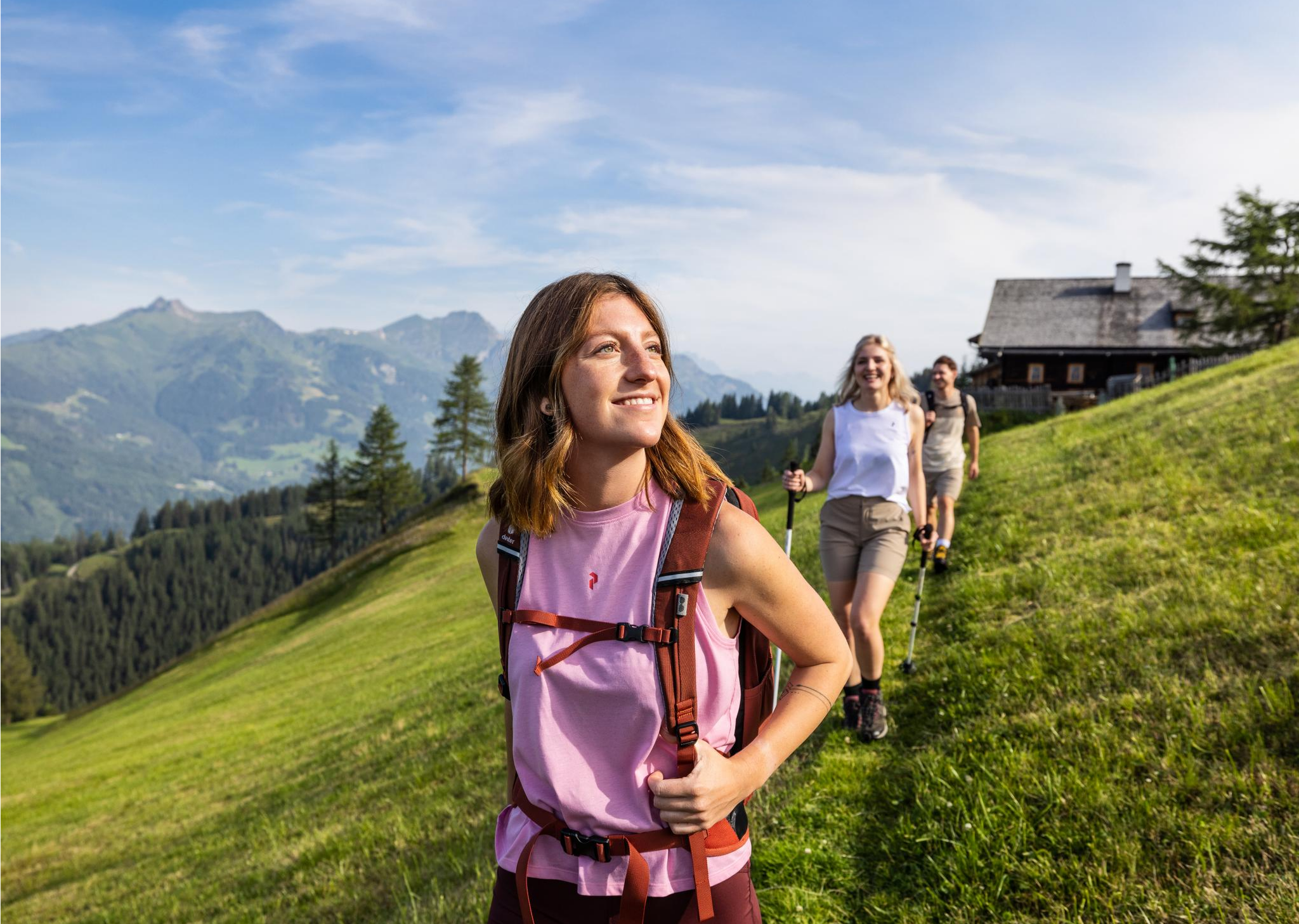
Salzburg’s most beautiful sides – 25 stages on the Salzburger Almenweg
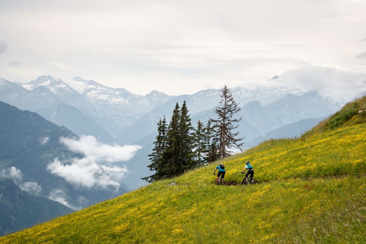
Seven unforgettable MTB and hiking Tours in Großarltal
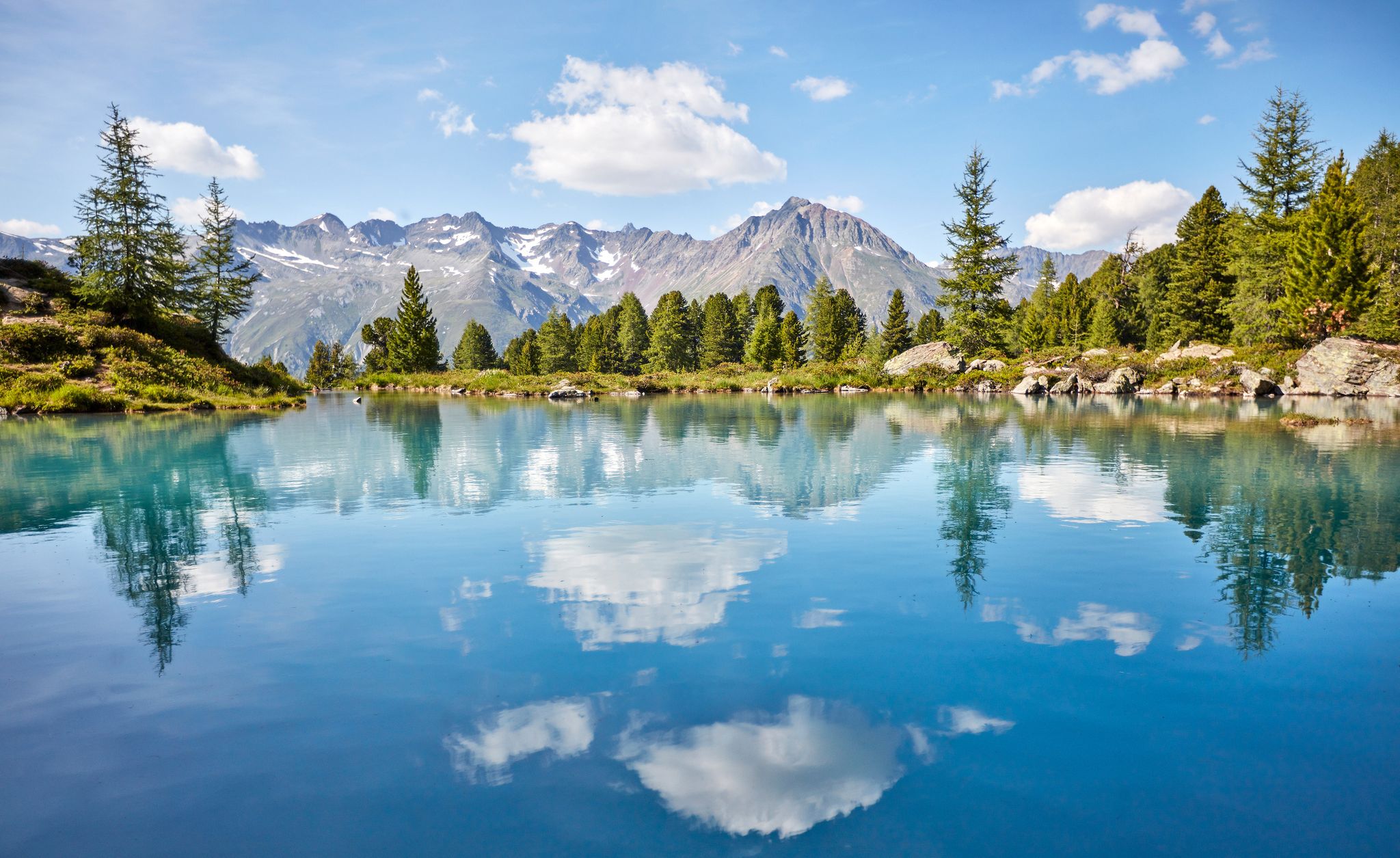
You don't need the sea when you’re Austria – hikes to incredible water spots
Lower Austria to Carinthia — our favourite huts in Austria
MTB in Austria’s Salzburger Sportwelt – legendary rides
The most beautiful e-mountain bike tours in Wagrain-Kleinarl
Hiking at its best – 6 walks around Wagrain-Kleinarl in Austria
A glistening mountain world: 7 beautiful lakes around Salzburg
Other adventures around Kleinarl


Tips from the Community

Dachstein massif - limestone mountains near Mandling in Styria.
0
0
Zauchensee is a mountain lake and a well-known ski and hiking area in Altenmarkt.
0
0
Rest area on the Enns River in Altenbach im Pongau
0
0

Lots of paved roads
0
0

Here are some good tips for your health.
0
1
Moon Trail with Observatory INTERACTIVE EXPERIENCE STATIONS ABOUT THE MOON WITH AN OPEN-AIR OBSERVATORY The "Mondweg" (Moon Trail) experience trail reveals amazing facts about "Science & the Moon" and "Myth of the Moon" at more than 20 interactive stations around Zauchensee lake, inviting you to join in and try things out. The almost 4 km long "Mondweg" starts at the Willkommenstor (Welcome Gate) in the center of the World Cup resort of Zauchensee, through which you enter the world of the moon. Even those on holiday in Altenmarkt-Zauchensee with children should try out the themed trail, which winds around Zauchensee lake and through the adjacent forest: while older siblings expand their moon knowledge in amazement, the little ones can simply ride along in a rugged all-terrain stroller. Walking time: approx. 2 hours The more than 20 interactive stations of the Mondweg inform about mystical and scientific aspects of the Earth's satellite. Some also invite you to join in and try things out: For example, thanks to Moon Gymnastics or massages, you can feel the influence of the celestial body on the body. You can look into the starry sky through the telescope of the observatory on the shore of Zauchensee lake during the weekly star gazing, and in the garden of the Moon Crater, you can collect specific herbs depending on the moon phase. Meanwhile, the children play on the Moon Playground. Parking: Parking is available at the starting point at the Felserhütte and Garnhofhütte huts. Source: www.altenmarkt-zauchensee.at/de/aktivitaeten/mondweg.html
10
1

Here the cycle paths are gravel.
1
1

Great view the further you go up
1
0
Frequently Asked Questions
What kind of terrain can I expect on gravel bike trails around Kleinarl?
The gravel biking terrain in Kleinarl is highly diverse, offering a mix of challenging mountain trails and more leisurely paths. You'll encounter paved sections, forest roads, and natural forest and meadow paths. The routes traverse stunning alpine scenery, lush valleys, and feature natural highlights like mountain lakes and the Kleinarler Ache.
How many gravel bike trails are available in the Kleinarl area?
There are over 25 gravel bike trails documented in the Kleinarl area on komoot. These routes cater to various preferences, though most are categorized as difficult, with a few moderate options available.
Are there any easy or beginner-friendly gravel bike trails in Kleinarl?
While many routes in Kleinarl are rated as difficult, there are some sections and paths that are more accessible. For instance, the cycle path along the Kleinarler Ache towards Jägersee is noted as easy-to-master and suitable for children and amateur cyclists. However, komoot's categorized gravel bike routes primarily feature moderate to difficult options.
What natural landmarks or viewpoints can I see along the gravel bike trails?
Kleinarl's gravel trails offer access to numerous natural wonders. You can ride past the idyllic Tappenkar Lake, one of the largest mountain lakes in the Eastern Alps, or enjoy views from the Kreuzkogel Summit. The View of Wagrain – Mundl Wiesen Viewpoint loop from Kleinarl specifically leads to a scenic viewpoint.
When is the best time of year to go gravel biking in Kleinarl?
The warmer months, typically from late spring through early autumn, are ideal for gravel biking in Kleinarl. During this period, the alpine meadows are lush, and the mountain paths are generally clear of snow, offering the best conditions to explore the diverse terrain and enjoy the stunning natural scenery.
Are there any long-distance gravel biking routes in Kleinarl?
Yes, Kleinarl offers several longer routes for those seeking a challenge. For example, the Kleinarler Ache Cycle Path – Kleinarler Ache loop from Kleinarl covers over 44 km, and the Kleinarler Ache Cycle Path – Along the Kleinarler Ache loop from Wagrain is over 40 km, both offering significant distances and elevation.
Can I find circular gravel bike routes in Kleinarl?
Many of the gravel bike routes in Kleinarl are designed as loops, allowing you to start and finish in the same location. Examples include the Kleinarler Ache Cycle Path – Kleinarler Ache loop from Kleinarl and the View of Wagrain – Mundl Wiesen Viewpoint loop from Wagrain, providing convenient circular tours.
Are there places to eat or rest along the gravel bike trails in Kleinarl?
Yes, the region is known for its alpine huts and amenities. You'll find places like Loosbühelalm and Ellmau Alm, which are popular stops for refreshments and rest. The Jägersee also has accessible facilities, and the villages themselves offer various cafes and restaurants.
What do other gravel bikers enjoy most about the trails in Kleinarl?
The gravel biking routes in Kleinarl are highly rated by the komoot community, with an average score of 4.7 stars from over 60 reviews. Riders frequently praise the diverse terrain, the stunning alpine scenery, and the well-maintained paths that lead through valleys, past mountain lakes, and to panoramic viewpoints.
Are there any particularly challenging gravel bike routes for experienced riders?
Absolutely. Kleinarl is well-suited for experienced gravel bikers looking for a challenge. Many routes feature significant elevation gains, with some reaching over 2000 meters of ascent, and cover distances up to 90 km. The View of the Salzach Valley – Gasteiner Ache Promenade loop from Großarl is a particularly demanding option, covering over 90 km with substantial climbing.
Is it possible to combine gravel biking with other outdoor activities in Kleinarl?
Yes, Kleinarl is an outdoor enthusiast's paradise. Beyond gravel biking, you can enjoy hiking, with trails ranging from family-friendly walks to challenging mountain tours. The region also offers climbing parks, and in winter, it transforms into a popular destination for skiing and cross-country skiing, including a picturesque trail to the Jägersee.
Are there any specific routes that offer panoramic views of the region?
Many routes in Kleinarl provide breathtaking panoramic views. The View of Wagrain – Mundl Wiesen Viewpoint loop from Kleinarl is specifically designed to lead to a scenic viewpoint. Additionally, routes that ascend towards peaks like Hochgründeck or Kreuzkogel offer expansive vistas of the Alps and the surrounding SalzburgerLand.
Most popular routes around Kleinarl
Most popular attractions around Kleinarl

Get inspired with the komoot mobile app


Explore more
Browse the best Gravel rides in other regions.
