The best gravel rides around Ottensheim
4.8
(15)
172
riders
27
rides
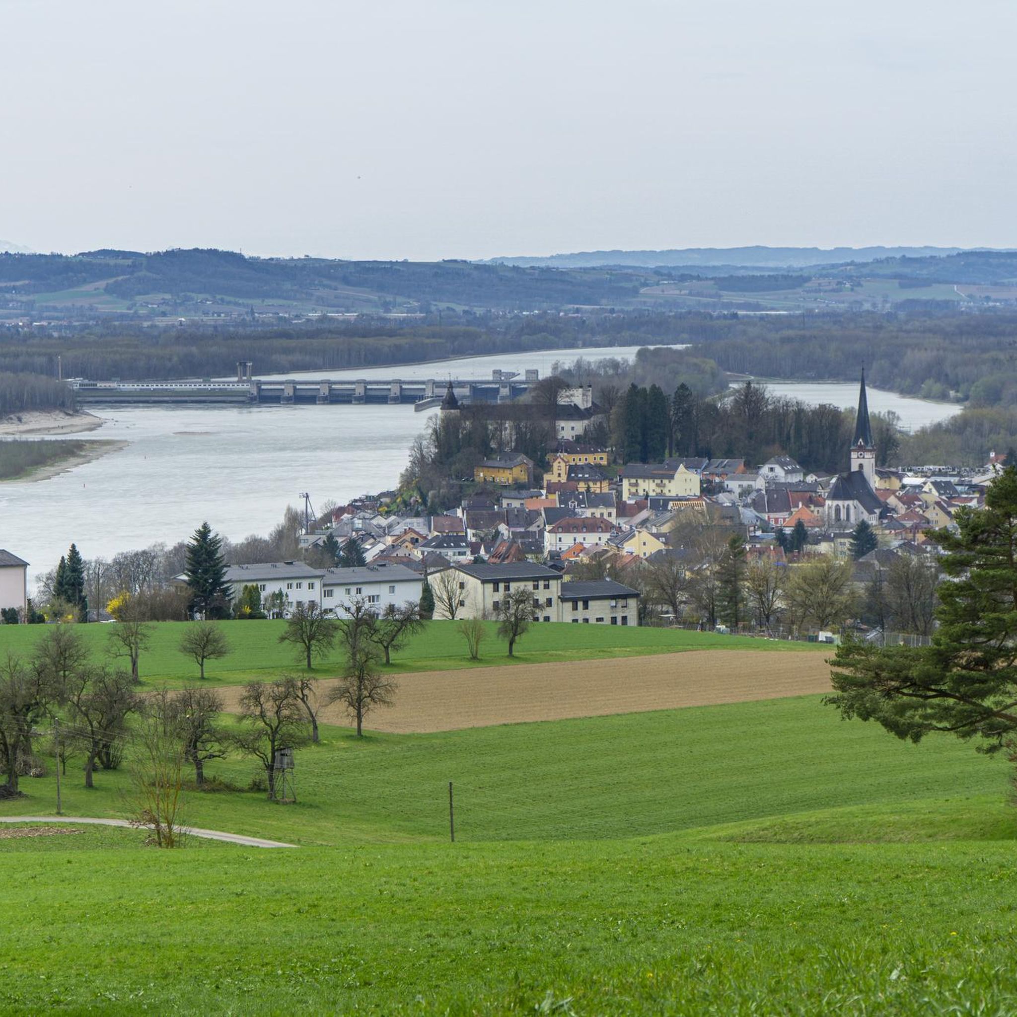
Gravel biking around Ottensheim offers a diverse landscape characterized by river valleys, rolling hills, and extensive forest trails. The region, situated along the Danube River, provides a mix of flat riverside paths and more challenging ascents into wooded areas. This terrain is suitable for gravel cyclists seeking varied surfaces, from compacted gravel to forest tracks and asphalt.
Best gravel bike trails around Ottensheim
- The most popular gravel bike trail is Urfahrwänd Suspension Bridge – Main square Linz loop from Linz…
Last updated: October 6, 2026
4.4
(7)
41
riders
Moderate gravel ride. Good fitness required. Mostly paved surfaces. Suitable for all skill levels.
36
riders
84.8km
06:03
1,590m
1,590m
Hard gravel ride. Very good fitness required. Mostly paved surfaces. Suitable for all skill levels.

5.0
(3)
25
riders
89.3km
06:33
1,690m
1,690m
Hard gravel ride. Very good fitness required. Mostly paved surfaces. Suitable for all skill levels.
14
riders
121km
09:02
2,350m
2,350m
Hard gravel ride. Very good fitness required. Mostly paved surfaces. Suitable for all skill levels.
4.5
(2)
15
riders
Hard gravel ride. Very good fitness required. Mostly paved surfaces. Suitable for all skill levels.
Get access to more routes and recommendations from other explorers.
Already have an account?
Our route recommendations are based on thousands of hikes, rides, and runs completed by other people on komoot.
Start today with a free account
Your next adventure awaits.
Popular around Ottensheim

Danube Trail – Legendary long-distance hiking along the Danube River

E-bike Tours in the Danube region in Upper Austria

The most beautiful leisurely cycling routes in Upper Austria

Simply amazing – 13 hikes along the Donausteig
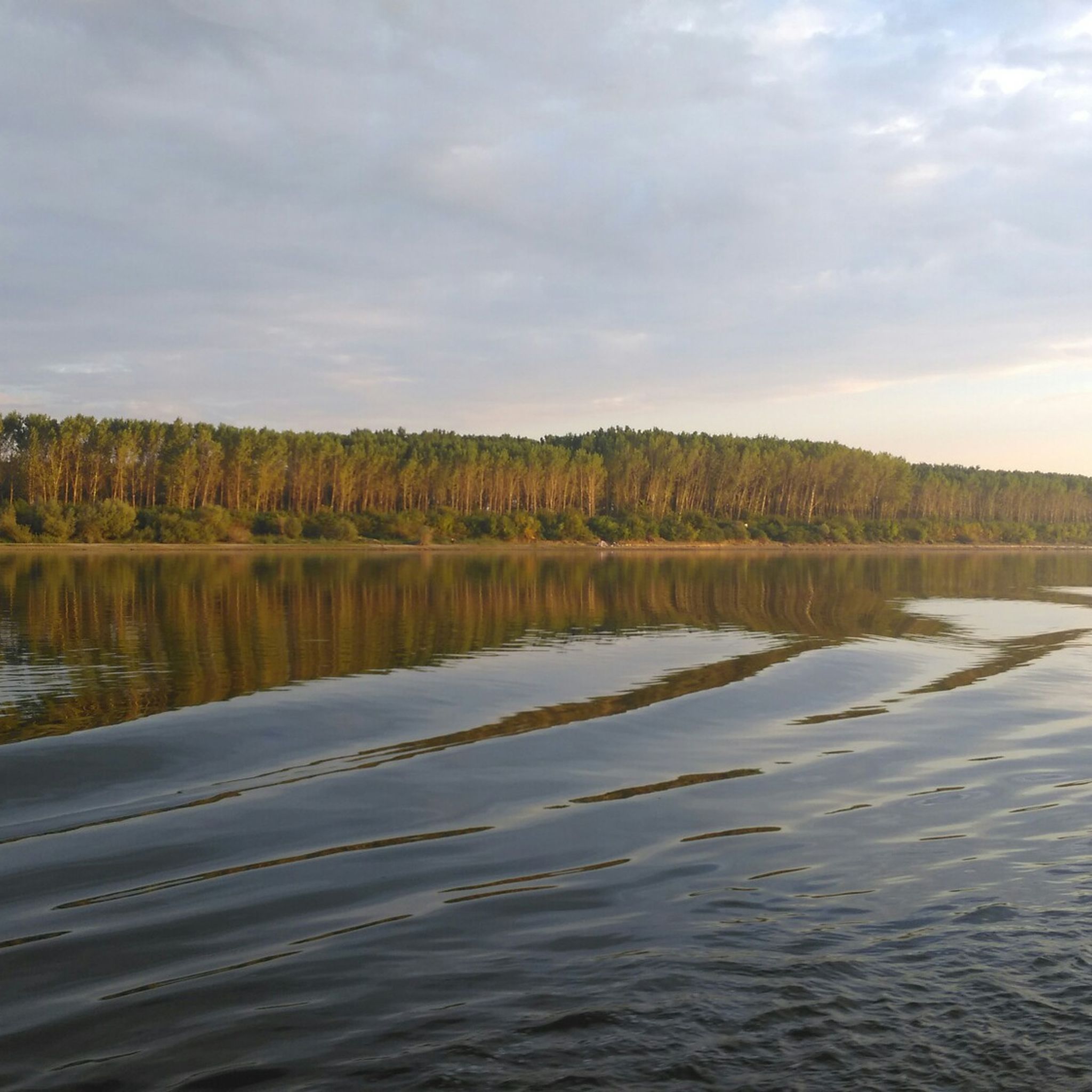
Cycling around Ottensheim
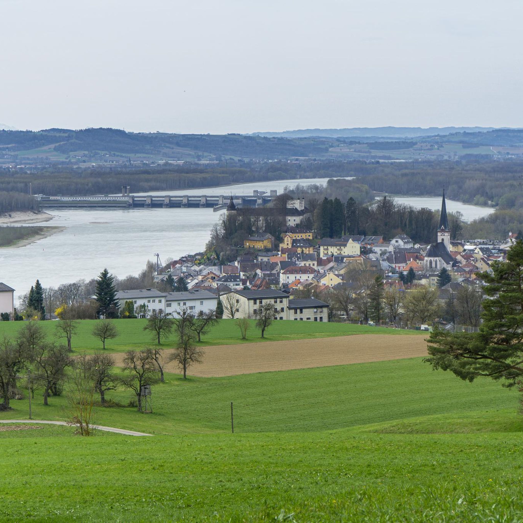
Road Cycling Routes around Ottensheim
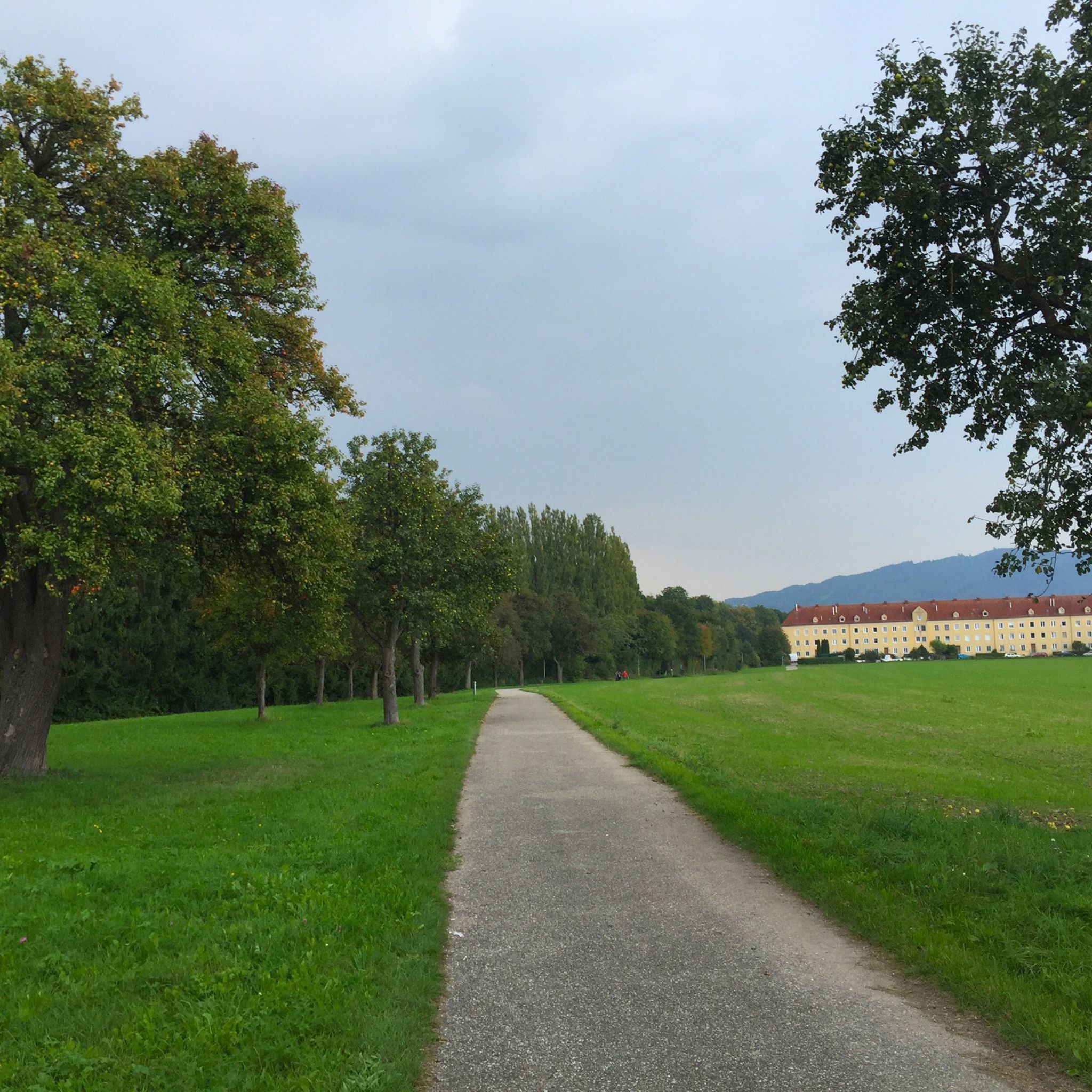
Hiking around Ottensheim
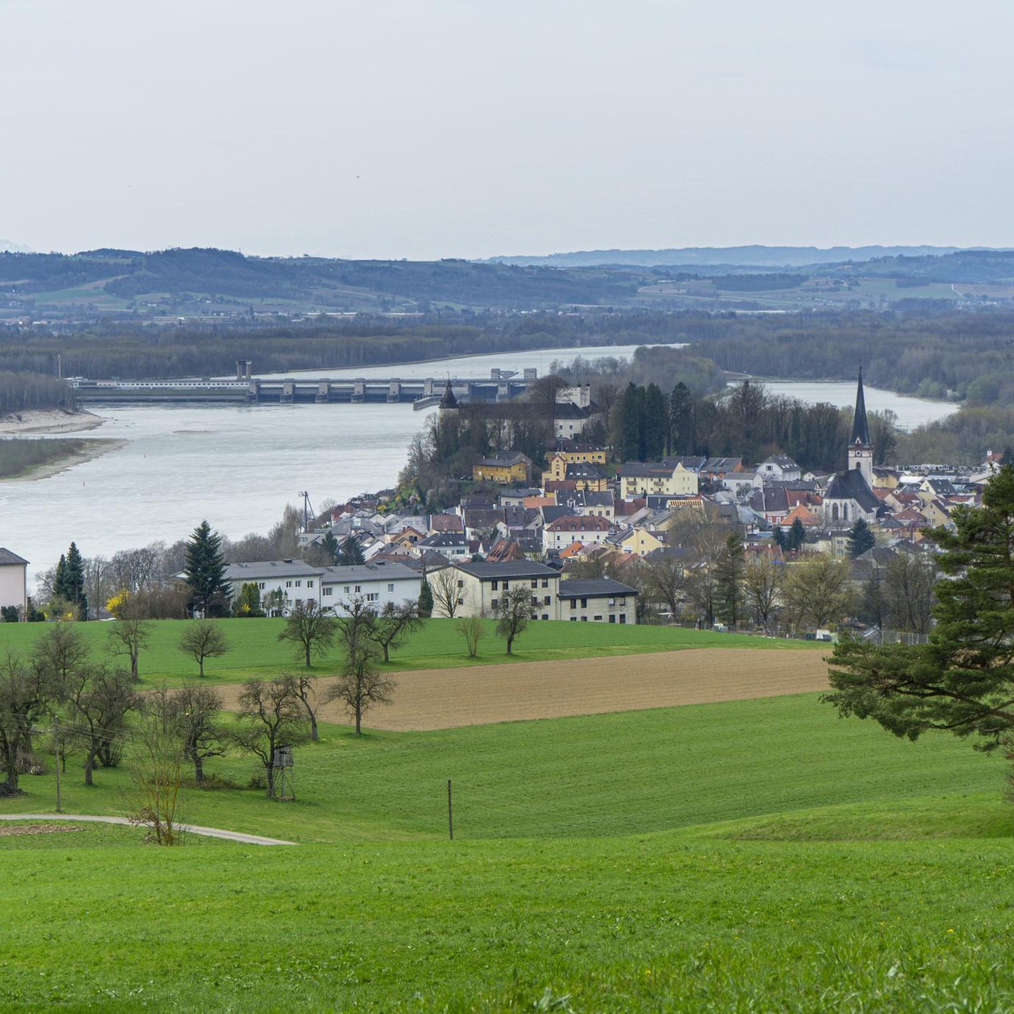
MTB Trails around Ottensheim
Running Trails around Ottensheim
Mountain Hikes around Ottensheim
Other adventures around Ottensheim


Tips from the Community

It is often closed up there due to wealth! 🫣
0
0

Giselawarte was built in 1856 and named after Princess Gisela, a daughter of Emperor Franz Joseph. In 1960, it was increased by two stories.
4
0
Built in 1856 and named after Princess Gisela, a daughter of Emperor Franz Joseph. In 1960, two stories were added.
4
0


Important information: Due to its poor data management, Komoot contains numerous inaccuracies that are unfortunately not updated by the site operators, Komoot. For accurate data and current trail closures, please visit our dedicated website: www.uppertrails.at The routing function on Komoot also provides numerous inaccuracies and trail closures. As the trail operators, we strongly recommend deleting this app if you wish to mountain bike legally. There are several reputable products and portals available that you can use for your tour planning (Brouter, Trailforks, etc.). Best regards, your Trail Team
1
0

The Pöstlingberg in the hill
5
0
Frequently Asked Questions
How many gravel bike trails are available around Ottensheim?
There are over 50 gravel bike trails around Ottensheim, offering a wide range of options for different skill levels. The komoot community has explored these routes over 500 times, providing valuable insights.
What is the general difficulty level of gravel biking routes in Ottensheim?
The routes around Ottensheim range from moderate to difficult. While there are a few easier options, the majority of trails, such as the challenging Feldkirchner Bathing Lake – Feldkirchen Bathing Lake loop from Puchenau, involve significant distances and elevation changes, making them suitable for experienced gravel bikers.
Are there any easy gravel bike trails suitable for beginners in Ottensheim?
While many routes are moderate to difficult, there are a few easier options available. These typically feature less elevation gain and shorter distances, providing a good starting point for those new to gravel biking in the region.
What kind of terrain can I expect on gravel bike trails near Ottensheim?
You can expect a diverse landscape characterized by river valleys, rolling hills, and extensive forest trails. The region, situated near the Danube, provides a mix of flat riverside paths and more challenging ascents into wooded areas, with surfaces ranging from compacted gravel to forest tracks.
Are there any loop gravel bike routes around Ottensheim?
Yes, many of the gravel bike routes around Ottensheim are designed as loops. For example, the demanding Urfahrwänd Suspension Bridge – View of Linz loop from Puchenau West offers a circular journey with scenic views of Linz.
What is the best season for gravel biking in Ottensheim?
The region's varied terrain is enjoyable across multiple seasons. Spring and autumn offer pleasant temperatures and vibrant scenery, while summer provides longer daylight hours. Winter biking is possible, but riders should be prepared for colder conditions and potentially icy or muddy trails, especially in forested areas.
Are there any gravel routes that offer unique points of interest or scenic stops?
Absolutely. Many routes incorporate scenic viewpoints and interesting landmarks. The Urfahrwänd Suspension Bridge – Whisky Distillery Affenzeller loop from Linz Urfahr, for instance, leads through varied terrain and includes a visit to a whisky distillery, offering a unique stop along the way.
How long do gravel bike routes typically take to complete in Ottensheim?
Route durations vary significantly based on distance and difficulty. Shorter, moderate trails might take a few hours, while longer, more challenging routes like the 121.7 km Urfahrwänd Suspension Bridge – Whisky Distillery Affenzeller loop can take around 10 hours and 43 minutes to complete.
What do other gravel bikers say about the trails in Ottensheim?
The gravel biking routes in Ottensheim are highly rated by the komoot community, with an average score of 4.7 stars from over 40 reviews. Riders often praise the diverse landscapes, from riverine paths to challenging forest climbs, and the well-maintained gravel surfaces.
Are there any shorter, yet challenging, gravel routes near Ottensheim?
Yes, for those seeking a challenging ride without committing to an all-day epic, routes like the Bachlbergweg Forest Trail – View of Linz and Pöstlingberg loop from Linz Urfahr offer significant elevation gain over a shorter distance, providing a good workout with rewarding views.
Are there any moderate gravel biking options for those looking for a balanced ride?
Yes, there are several moderate routes that offer a good balance of challenge and enjoyment. The Urfahrwänd Suspension Bridge – Bachlbergweg Forest Trail loop from Linz Urfahr is an example of a moderate trail that provides engaging terrain without the extreme demands of the most difficult routes.
Most popular routes around Ottensheim
Most popular attractions around Ottensheim

Get inspired with the komoot mobile app


Explore more
Browse the best Gravel rides in other regions.
