The best gravel rides around Innervillgraten
4.5
(194)
1,692
riders
28
rides
Gravel biking around Innervillgraten offers routes through alpine valleys and past notable natural features. The region is characterized by mountainous terrain, with trails often following river paths and offering views of lakes and the Dolomites. Gravel bike trails here navigate through varied landscapes, including forested sections and open areas with unpaved surfaces and forest roads.
Best gravel bike trails around Innervillgraten
- The most popular gravel bike trail is Lake Dobbiaco – View of Lake Dobbiaco loop from Innichen - San…
Last updated: October 21, 2026
5.0
(1)
51
riders
79.2km
06:16
1,940m
1,940m
Hard gravel ride. Very good fitness required. You may need to push your bike for some segments of this route.
4.6
(14)
127
riders
Moderate gravel ride. Good fitness required. Mostly paved surfaces. Suitable for all skill levels.

4.3
(3)
45
riders
67.1km
05:07
1,360m
1,360m
Hard gravel ride. Very good fitness required. You may need to push your bike for some segments of this route.
4.8
(8)
137
riders
57.5km
03:15
700m
700m
Hard gravel ride. Very good fitness required. You may need to push your bike for some segments of this route.
4.7
(13)
98
riders
52.4km
03:33
890m
890m
Hard gravel ride. Very good fitness required. Mostly paved surfaces. Suitable for all skill levels.
Get access to more routes and recommendations from other explorers.
Already have an account?
Our route recommendations are based on thousands of hikes, rides, and runs completed by other people on komoot.
Start today with a free account
Your next adventure awaits.
Popular around Innervillgraten
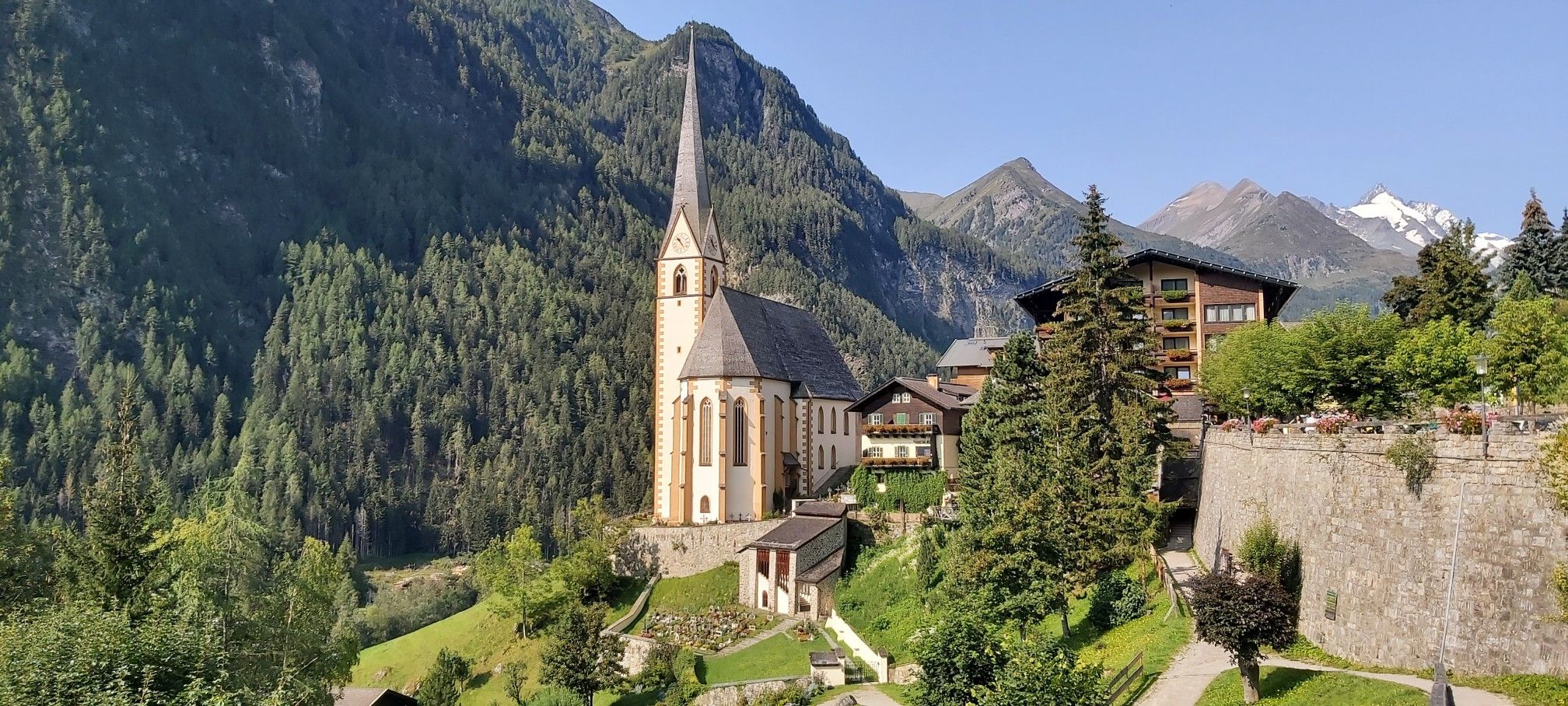
Austria's High & Holy Pilgrimage Trail – Walking across mountains and borders
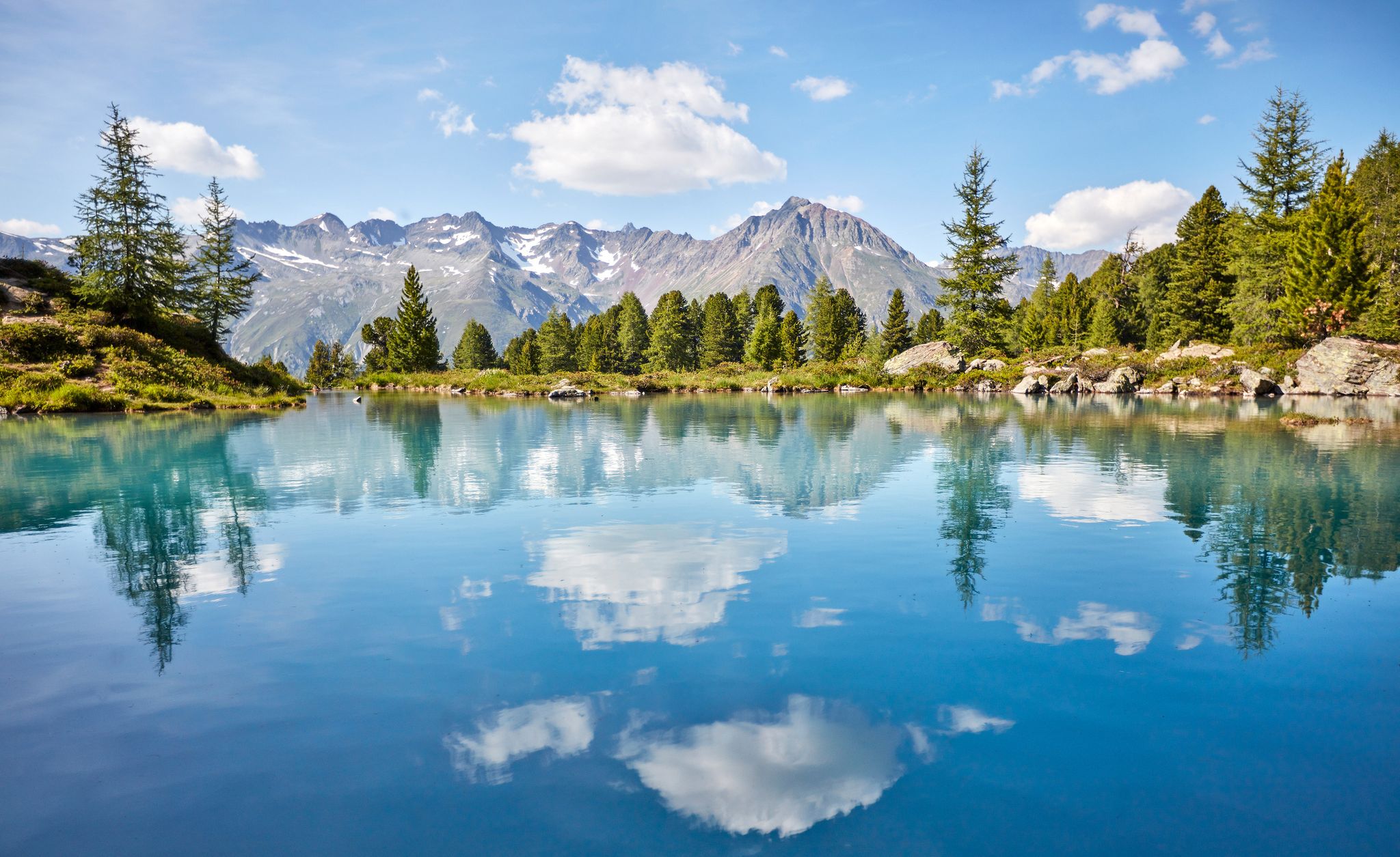
You don't need the sea when you’re Austria – hikes to incredible water spots
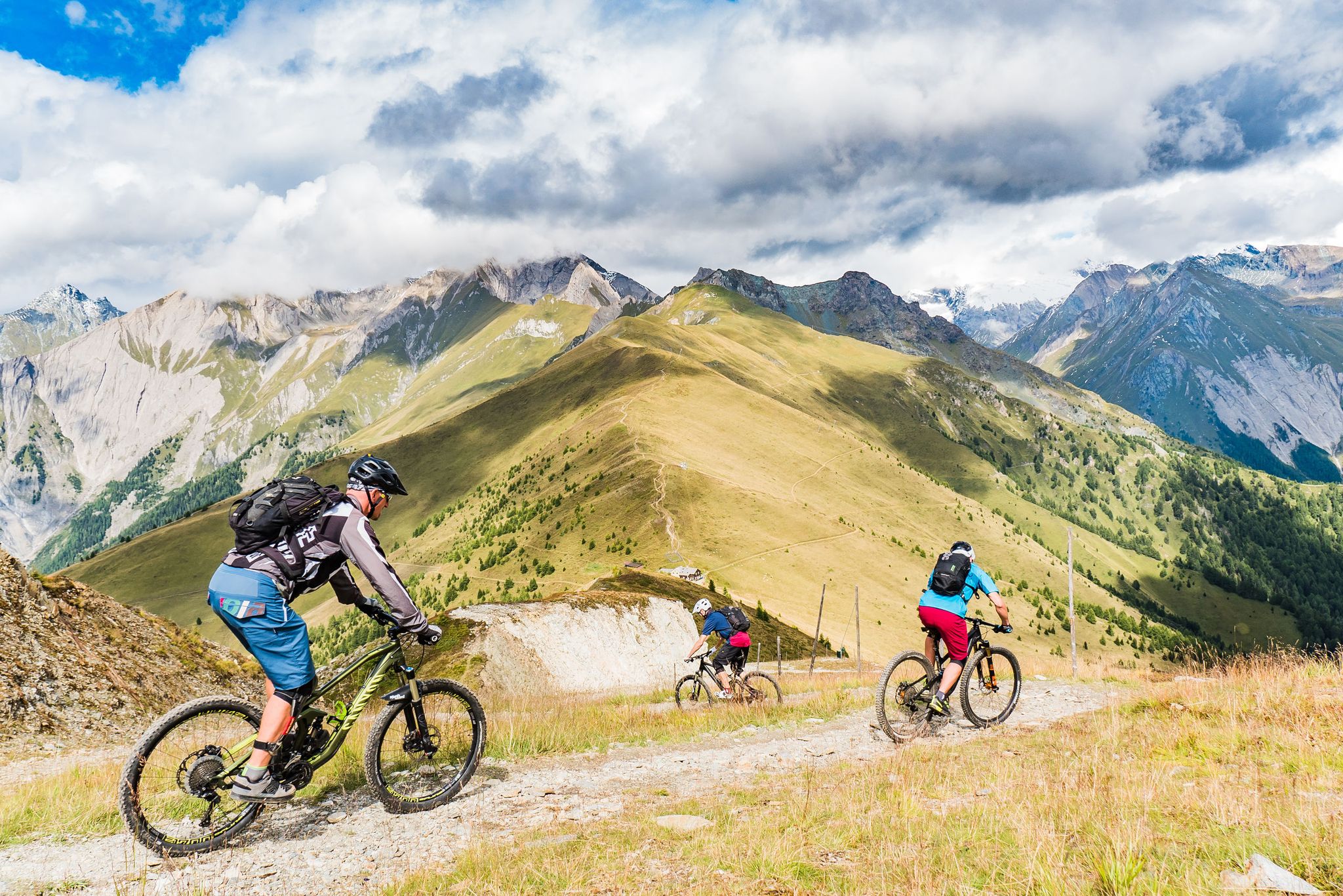
Unlimited mountain bike fun – singletrack paradise in East Tyrol
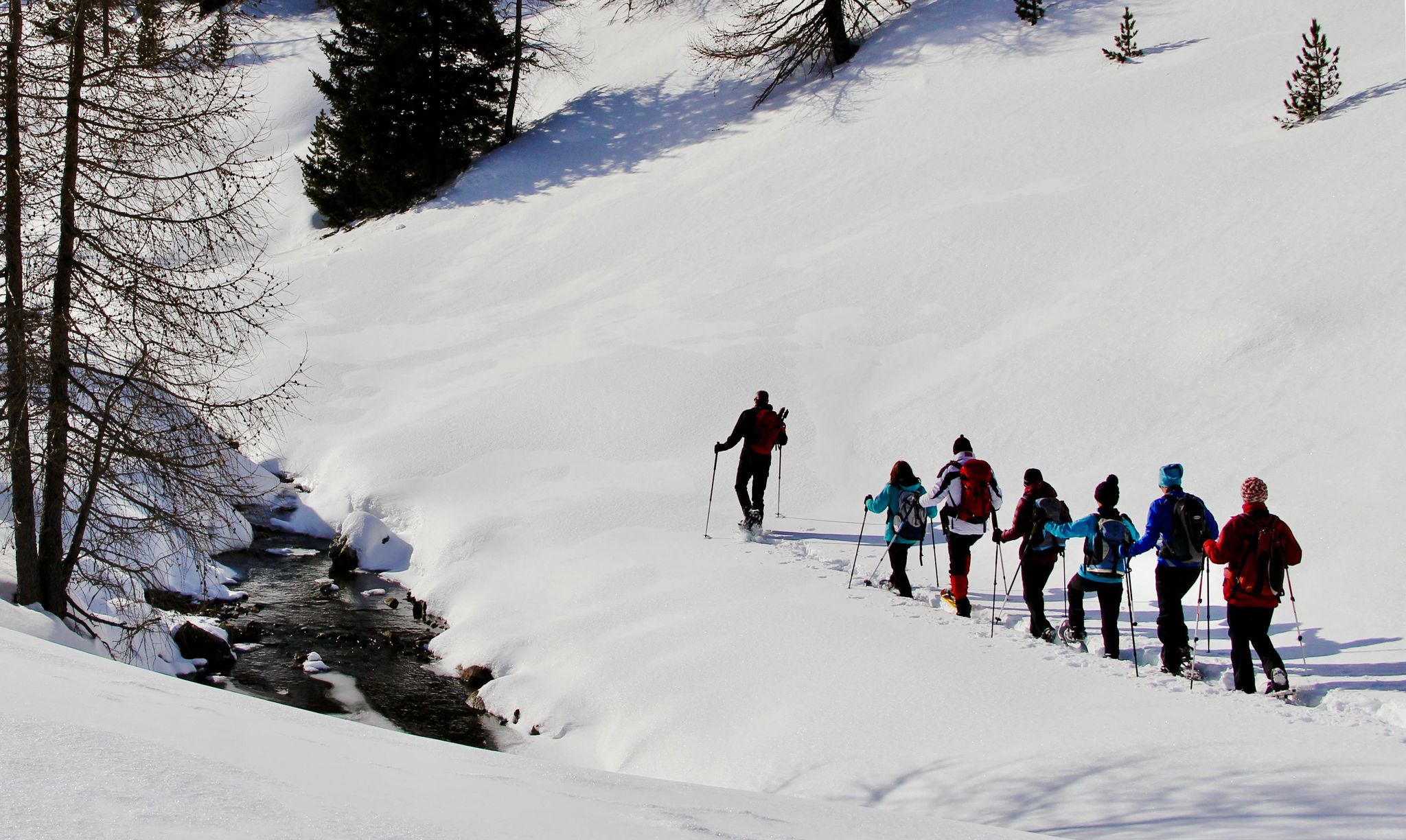
Snowshoe magic in East Tyrol
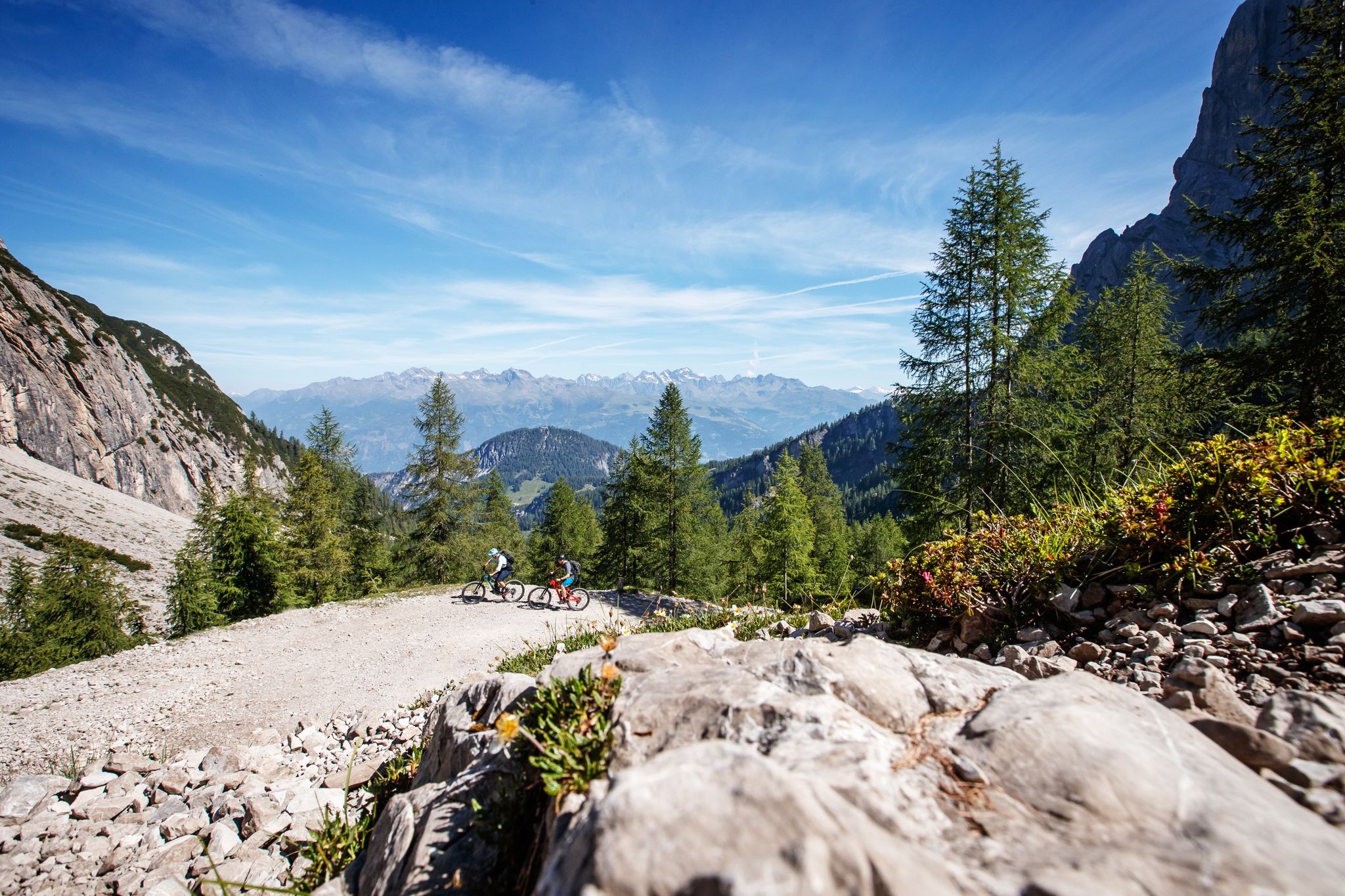
Zehn fantastische Touren durch das Mountainbike-Paradies Osttirol
Hiking around Innervillgraten
Road Cycling Routes around Innervillgraten
MTB Trails around Innervillgraten
Cycling around Innervillgraten
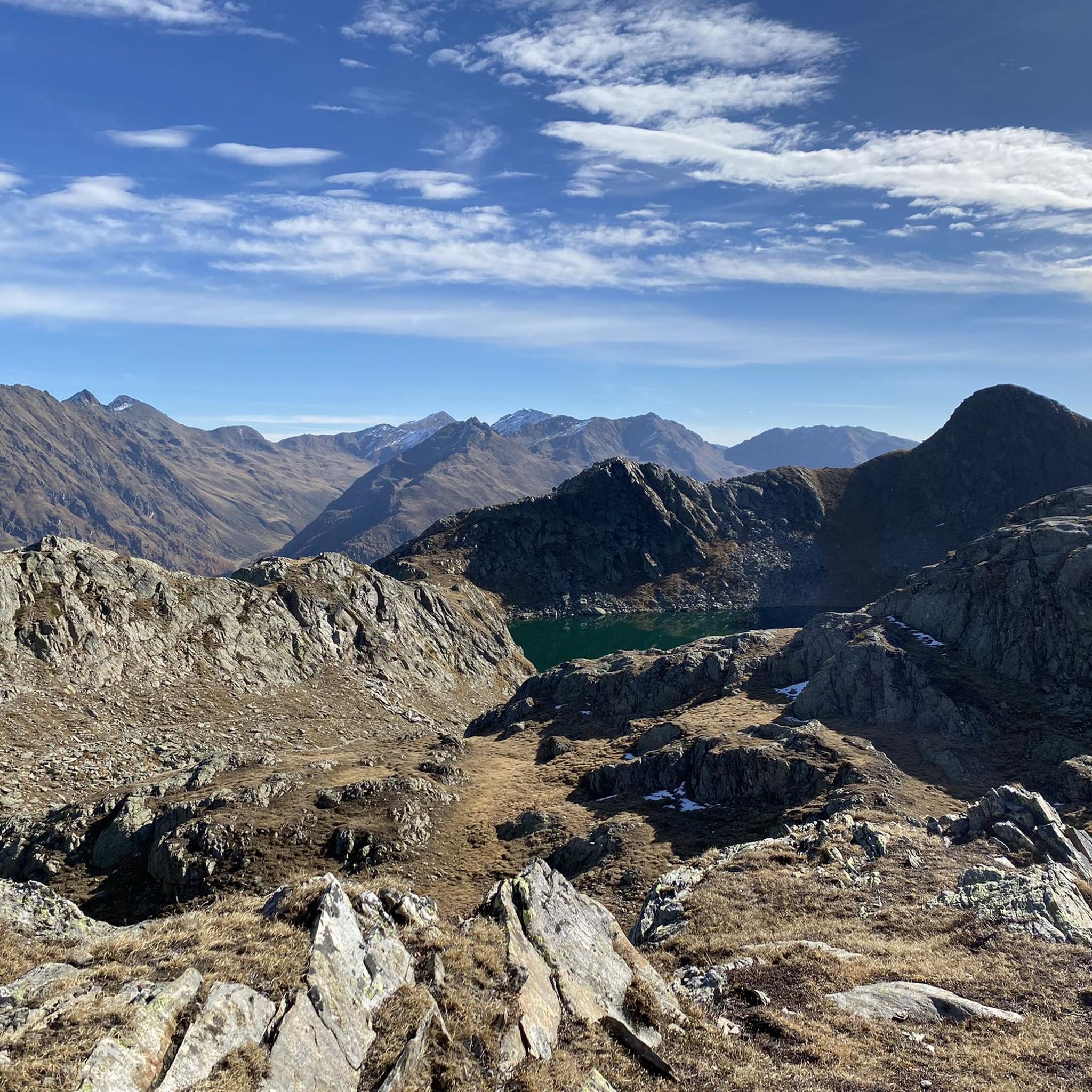
Mountain Hikes around Innervillgraten
Other adventures around Innervillgraten


Tips from the Community

Lake Misurina is one of the most beautiful and photographed landscapes in the Dolomites, in the Italian region of Veneto. It is located in the town of Misurina, within the municipality of Auronzo di Cadore, at an altitude of 1,754 meters above sea level.
6
0

Nice bridge, you should ride slowly when it's wet
0
0

Recommended. A break is worthwhile here. Great photo opportunities in good weather. 👍
1
0


The stay and the break by the lake offer an excellent opportunity to enjoy the charming landscape.
0
0

Great cycle path in a fantastic landscape
0
0

Piazza del Municipio in Dobbiaco is a quiet corner where alpine aesthetics meet the vibrancy of the local community. At the center of this scene, the stone fountain is not just a decorative element, but a symbol of freshness that marks time with its constant murmur. The crystal-clear water that flows reflects the profiles of the surrounding peaks and the well-kept facades of the historic buildings, offering a regenerating resting spot for hikers and residents. The architecture of the square, with its elegant lines and flowered balconies, surrounds the basin, creating a postcard-like atmosphere. Here, amidst the scent of wood and the sound of chiming bells, the fountain becomes the beating heart of an open-air living room that invites you to slow down and breathe the pure air of the Dolomites.
0
0

Frequently Asked Questions
How many gravel bike trails are available around Innervillgraten?
Innervillgraten offers a diverse network of over 30 gravel bike trails. These routes navigate through alpine valleys, past scenic lakes, and against mountain backdrops, catering to various skill levels.
Are there challenging gravel bike routes in the Innervillgraten area?
Yes, the region features several challenging gravel bike routes. For instance, the Scenic mule track – Castel Welsperg loop from Gsies - Valle di Casies is a difficult 41.5-mile (66.8 km) path with significant elevation gain, offering a demanding ride through varied terrain.
What kind of scenery can I expect on gravel bike trails near Innervillgraten?
Gravel bike trails around Innervillgraten are known for their stunning alpine scenery. You'll encounter routes with views of the Dolomites, picturesque lakes like Lake Braies and Lake Dobbiaco, and paths following river valleys. Expect a mix of forested sections and open landscapes.
Are there any family-friendly gravel biking options in Innervillgraten?
While many routes are moderate to difficult, some sections or shorter loops can be suitable for families, especially those with some biking experience. Look for routes with less elevation gain and smoother surfaces. The region's cycle paths often provide gentler options.
What do other gravel bikers say about the trails in Innervillgraten?
The gravel bike routes in Innervillgraten are highly regarded by the komoot community, boasting an average rating of 4.8 stars from over 150 reviews. Riders frequently praise the stunning alpine scenery, well-maintained paths, and the variety of routes available for different skill levels.
Can I find gravel bike routes that are loop trails?
Yes, many gravel bike routes in the Innervillgraten area are designed as loops. Examples include the View of Lake Dobbiaco – Cycle Path Along the Weißbach loop from Innichen - San Candido and the View of the Dolomites – Up to Lake Braies loop from Innichen - San Candido, allowing you to start and end at the same point.
Are there any waterfalls or natural attractions along the gravel bike routes?
Yes, the region is rich in natural attractions. You might encounter highlights such as the Stallenbach Waterfall or the Stadtner Mühle and Waterfall. Some routes also pass by the Water Adventure Trail St. Jakob in Defereggen.
What is the typical duration for gravel bike rides in Innervillgraten?
Ride durations vary significantly based on the route's length and difficulty. Many popular routes range from approximately 3 to 5 hours. For example, the View of Lake Dobbiaco – Cycle Path Along the Weißbach loop typically takes around 2 hours 54 minutes, while more challenging routes can take much longer.
Are there historical landmarks or castles to see while gravel biking?
Yes, the area around Innervillgraten features historical sites. You could explore routes that pass near landmarks like Heinfels Castle or the Mitterberg Fortress, offering a blend of natural beauty and cultural interest.
What is the best time of year for gravel biking in Innervillgraten?
The best time for gravel biking in Innervillgraten is generally from late spring through early autumn (May to October), when the weather is mild, and trails are clear of snow. Always check local conditions, especially in higher elevations, as early and late season can still see variable weather.
Are there any gravel bike routes that offer views of the Dolomites?
Absolutely. The region is renowned for its stunning views of the Dolomites. A notable route is the View of the Dolomites – Up to Lake Braies loop from Innichen - San Candido, which provides spectacular vistas of these iconic mountains.
How long is the longest gravel bike route in the area?
One of the longer and more challenging routes is the Innichen - Toblach Cycle Path – Scenic mule track loop from Weitlanbrunn, which spans 57.7 miles (92.9 km) and includes significant elevation changes, making for a full day's adventure.
Most popular routes around Innervillgraten
Most popular attractions around Innervillgraten

Get inspired with the komoot mobile app


Explore more
Browse the best Gravel rides in other regions.
