The best gravel rides around Taunusstein
4.5
(199)
945
riders
49
rides
Gravel biking around Taunusstein offers diverse landscapes within the Taunus mountain range in Hesse, Germany. The region features a mix of smooth asphalt and well-maintained gravel surfaces, with routes traversing extensive woodlands and picturesque river valleys. Elevation changes are common, with climbs exceeding 400 meters, providing varied terrain for gravel cyclists.
Best gravel bike trails around Taunusstein
- The most popular gravel bike trail is View Over Watzhahn – Meadows Near Taunusstein loop from Neuhof, a 13.2 miles (21.2 km)…
Last updated: September 1, 2026
4.5
(4)
31
riders
21.2km
01:14
250m
250m
Moderate gravel ride. Good fitness required. Mostly paved surfaces. Suitable for all skill levels.
5.0
(5)
16
riders
Moderate gravel ride. Good fitness required. Mostly paved surfaces. Suitable for all skill levels.

Sign up for free
4.0
(2)
16
riders
16.7km
01:00
190m
190m
Moderate gravel ride. Good fitness required. Mostly paved surfaces. Suitable for all skill levels.
5.0
(2)
16
riders
35.1km
02:18
570m
570m
Hard gravel ride. Very good fitness required. Mostly paved surfaces. Suitable for all skill levels.
4.7
(3)
8
riders
23.4km
01:45
480m
480m
Hard gravel ride. Very good fitness required. Mostly paved surfaces. Suitable for all skill levels.
Get access to more routes and recommendations from other explorers.
Sign up for free
Already have an account?
Our route recommendations are based on thousands of hikes, rides, and runs completed by other people on komoot.
Start today with a free account
Your next adventure awaits.
Login or Signup
Popular around Taunusstein
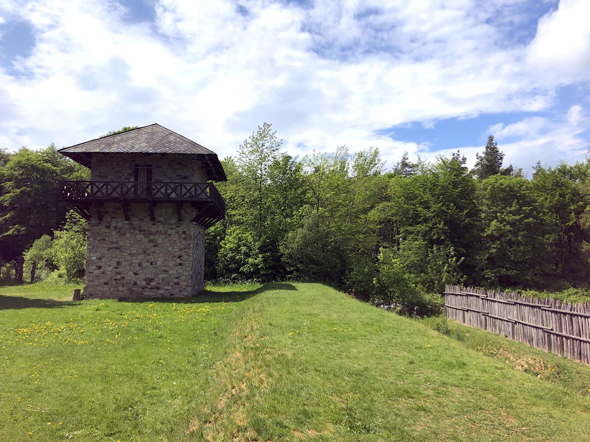
From the Limes to the Lahn – 4 days on the Aar-Höhenweg
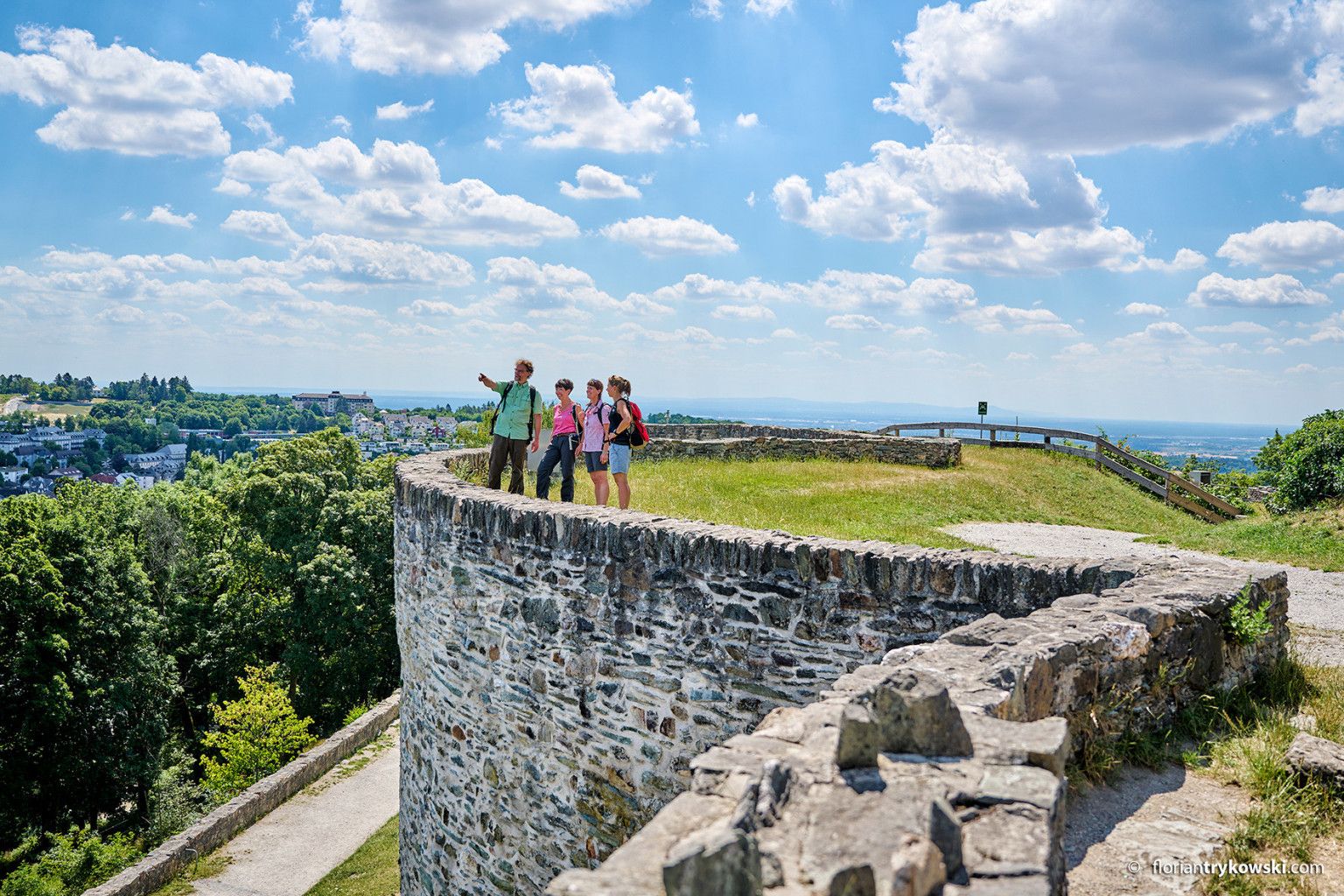
Experience nature and culture — hiking in Germany’s Taunus region
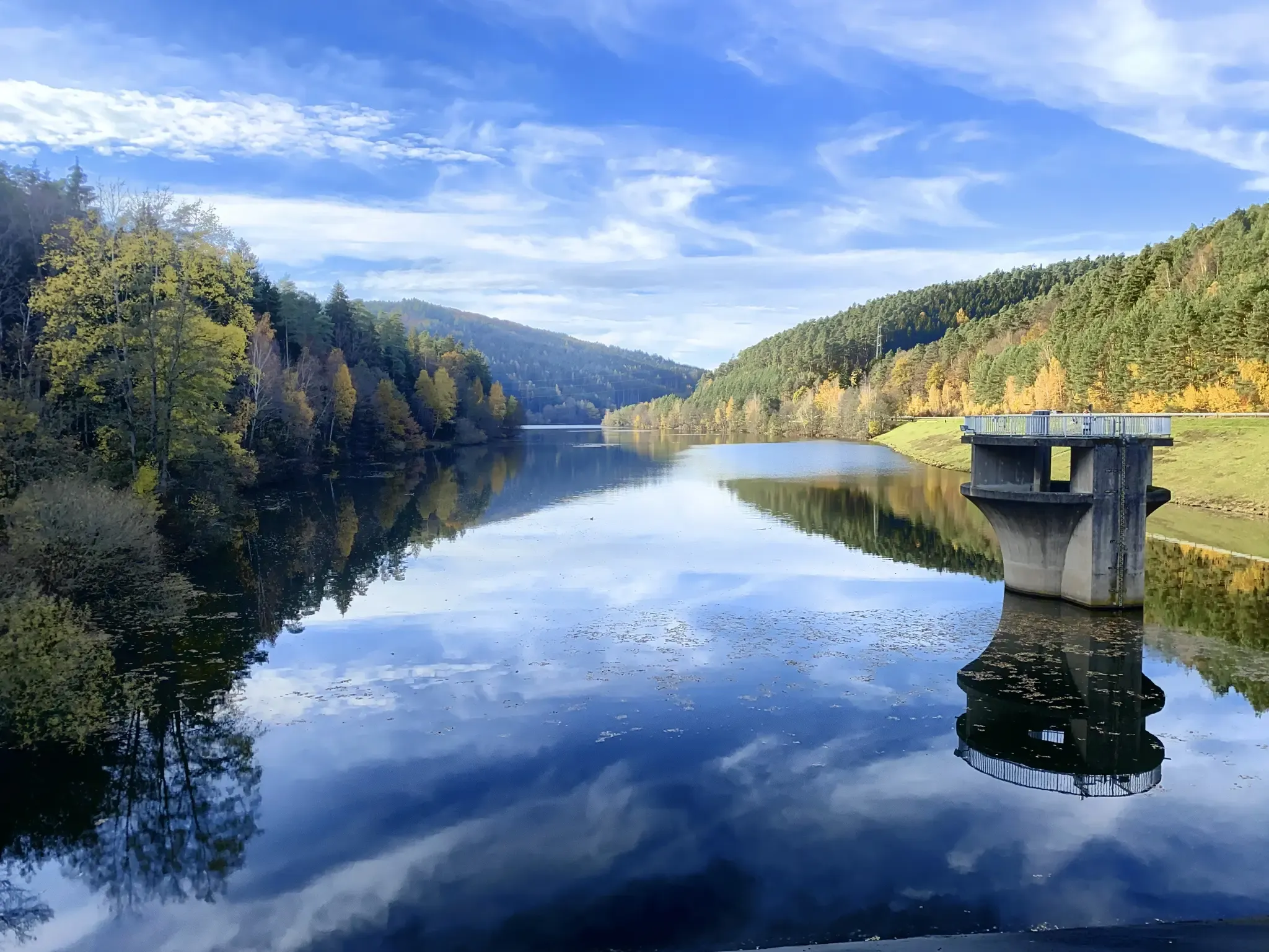
Mit Rosbacher auf Tour im Rhein-Main-Gebiet
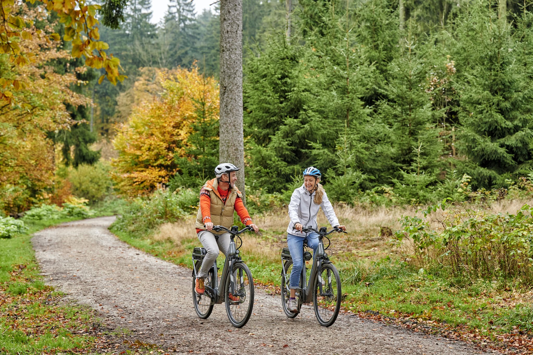
Radfahren im Taunus – Auspowern, genießen, entdecken
Hiking around Taunusstein
Cycling around Taunusstein
Running Trails around Taunusstein
MTB Trails around Taunusstein
Road Cycling Routes around Taunusstein

Mountain Hikes around Taunusstein
Other adventures around Taunusstein


Tips from the Community

Beautiful view into the distance
1
0

This parking area is ideal as a starting and ending point for a wonderful hiking loop.
0
0

This Kneipp water treading basin is located on the outskirts of Wiesbaden on the Gehrner Bach stream (not, as Google Maps indicates, on the Wellritzbach stream) above the Chausseehaus (toll house) and can be reached from there in about 15 minutes on foot. It lies at the intersection of several hiking trails and on the mountain bike route. Following a marked path with a gentle incline, you'll reach a shelter belonging to the Kneipp Association Wiesbaden e.V. and the associated water treading basin. The pleasantly cool water invites you to tread water and refresh yourself. The basin is constantly replenished by fresh water from the stream (see "Water Supply..." below). The entire facility was built between 1970 and 1972 using funds from the association and the volunteer work of its members. To this day, it is maintained and regularly cared for solely through the volunteer work of association members, association funds, and donations. During a successful comprehensive renovation between 2014 and 2016, previously issued, detailed regulations from the environmental authority regarding the flow and use of the stream were also taken into account. To ensure the migration of microorganisms in the stream, a reliable separation of the water flow for the basin and the water remaining in the stream (technically called a "circulating channel") was required. This included the installation of boulders in the circulating channel to reduce the flow rate. As part of this comprehensive renovation, the shelter was re-roofed and the wooden components were painted. These extensive works were made possible by donations from several local councils and members of the association, in addition to the association's own labor and funds. On July 9, 2016, this beautiful facility was officially reopened to the public in Wiesbaden and visitors to our beautiful city in a ceremony attended by Mayor Arno Goßmann, representatives of the local councils, and many members of the association. Source: https://www.kneipp-wiesbaden.de/kneipp-wassertretanlagen/infos-zur-tretanlage-chausseehaus/
0
0

Great scenery and relaxing driving
1
1

The Aar Valley Cycle Path is an idyllic cycle path in Hesse, stretching from the source near Orlen to the mouth of the Aar River in Diez. It is considered particularly family-friendly and offers a relaxing ride through green landscapes, far from traffic.
1
1

Very helpful if you have a minor defect. But be aware that the tools at many of these stations are broken. It's fine for smaller jobs (no tools for tightening spokes).
2
0

When your feet are burning in the sweltering midsummer weather, this is the perfect place to relax and refresh. You'll always meet people here with whom you can have a pleasant chat.
0
0
Frequently Asked Questions
How many gravel bike trails are available around Taunusstein?
There are over 50 gravel bike trails around Taunusstein, offering a wide range of experiences for different skill levels. You'll find a mix of easy, moderate, and difficult routes to explore.
What kind of terrain can I expect on gravel bike trails in Taunusstein?
The terrain around Taunusstein is quite varied, featuring a compelling mix of smooth asphalt and well-maintained gravel surfaces. You'll encounter significant elevation changes, with some climbs gaining over 400 meters, leading through extensive woodlands, picturesque river valleys, and rolling hills. The region's lowest point is 310 meters and its highest is 613.9 meters, ensuring diverse and engaging rides.
Are there any family-friendly gravel bike routes in Taunusstein?
Yes, Taunusstein offers routes suitable for families. The river valleys, such as those along the Aarbach and Weil rivers, often feature paths like the Aar Valley Cycle Path which are generally considered family-friendly and offer pleasant rides through green landscapes, often away from traffic.
What are some notable natural features or scenic viewpoints along the gravel trails?
Many routes boast spectacular hilltop views, and on clear days, vantage points offer impressive panoramas over the Rhine Valley and the Frankfurt-Rhine-Main plain. The region is characterized by dense forests and rolling hills within the Taunus Mountains. You might also encounter the Aarbach and Weil river valleys, which provide beautiful natural settings for rides.
Can I find circular gravel bike routes in Taunusstein?
Absolutely. Many of the gravel bike routes in Taunusstein are designed as loops, allowing you to start and end at the same point. For example, the Aartal Cycle Path – Forest Path at Hammerberg loop from Taunusstein is a popular circular option that takes you through the Aar Valley and forest paths.
Are there any historical landmarks or attractions to see along the routes?
Yes, the region is rich in history. The northern part of Taunusstein is crossed by the Upper Germanic Limes, a UNESCO World Heritage Site. You can explore remains of the ancient Fort Zugmantel near Orlen, or a replica of a Limes watchtower. A route like View of Neuhof and Hohe Wurzel – Small jump on the Limes Trail loop from Taunusstein offers a chance to experience this historical context. Further afield, you could cycle towards attractions like Eltville Castle or Eberbach Abbey.
What is the best time of year for gravel biking in Taunusstein?
The Taunus region is generally enjoyable for gravel biking from spring through autumn. These seasons offer pleasant temperatures and vibrant natural scenery. While winter riding is possible, be prepared for colder conditions and potentially icy or muddy paths, especially in shaded forest sections.
Are there any cafes or places to stop for refreshments along the gravel trails?
While specific cafes directly on every trail are not guaranteed, many routes pass through or near charming small villages where you can find local establishments. Larger towns like Taunusstein itself offer various options for refreshments. Some routes might also pass by specific highlights like Waldgeist Zur Eisernen Hand, which could be a good stop.
What do other gravel bikers enjoy most about the trails in Taunusstein?
The gravel biking routes in Taunusstein are highly rated by the komoot community, with an average score of 4.5 stars from over 330 reviews. Riders often praise the diverse landscapes, the mix of smooth and gravel surfaces, and the extensive woodlands that provide a scenic and engaging experience. The variety of routes, from moderate to difficult, also caters to a wide range of abilities.
Are there options for advanced gravel bikers looking for a challenge?
Yes, Taunusstein offers routes with significant elevation gains and longer distances that will challenge advanced gravel bikers. For instance, the Nerobergbahn Funicular – Platte Hunting Lodge loop from Wehen is a difficult route covering over 36 km with nearly 600 meters of ascent, providing a demanding ride through the Taunus mountains.
Can I access gravel bike routes using public transport in Taunusstein?
Taunusstein has public transport connections, and many routes are accessible from various points within the town or surrounding villages. While specific public transport access points for every trail vary, planning your route start and end points near bus stops or train stations can facilitate car-free access to the trails.
Most popular routes around Taunusstein
Most popular attractions around Taunusstein

Get inspired with the komoot mobile app


Explore more
Browse the best Gravel rides in other regions.
