The best gravel rides around Todtmoos
4.7
(43)
255
riders
40
rides
Gravel biking around Todtmoos, situated in the Southern Black Forest, offers diverse terrain for cyclists. The region is characterized by dense forests, blossoming valleys, and gentle ridges, with altitudes ranging from 700 to 1263 meters above sea level. An extensive network of forest trails and gravel paths provides varied surfaces for exploration. Riders can expect a mix of natural trails, gravel paths, and some asphalt sections throughout the area.
Best gravel bike trails around Todtmoos
- The most popular gravel bike trail is Pedestrian Zone in Todtmoos – View of the Rhine Valley loop from Todtmoos, a 24.4 miles (39.2 km) trail that takes 3 hours 50 minutes to complete. This difficult route features significant elevation gain through varied forest landscapes.
- Another top favourite among local gravel bikers is Bernau Spa Park – Langhalde Hut loop from Bernau im Schwarzwald, a moderate 10.3 miles (16.6 km) path. This route winds through forests and offers views of the surrounding Black Forest scenery.
- Local gravel bikers also love the View of Herzogenhorn – Menzenschwand Village loop from Bernau im Schwarzwald, an 18.8 miles (30.3 km) trail leading through valleys and past viewpoints, often completed in about 3 hours 8 minutes.
- Gravel biking around Todtmoos is defined by dense forests, wild-romantic valleys, and gentle ridges. The network offers options for different ability levels, from moderate loops to challenging climbs.
- The routes in Todtmoos are highly rated by the komoot community with an average score of 4.8 stars from over 40 reviews. More than 200 gravel bikers have used komoot to explore Todtmoos's varied terrain.
Last updated: June 29, 2026
5.0
(1)
8
riders
39.6km
02:57
870m
870m
Hard gravel ride. Very good fitness required. Mostly paved surfaces. Suitable for all skill levels.
4.5
(2)
6
riders
16.5km
01:17
260m
260m
Moderate gravel ride. Good fitness required. Mostly paved surfaces. Suitable for all skill levels.

Sign up for free
2
riders
25.2km
02:04
710m
700m
Hard gravel ride. Very good fitness required. Mostly paved surfaces. Suitable for all skill levels.
5.0
(1)
4
riders
Hard gravel ride. Very good fitness required. Mostly paved surfaces. Suitable for all skill levels.
4.7
(3)
6
riders
Moderate gravel ride. Good fitness required. Mostly paved surfaces. Suitable for all skill levels.
Get access to more routes and recommendations from other explorers.
Sign up for free
Already have an account?
Our route recommendations are based on thousands of hikes, rides, and runs completed by other people on komoot.
Start today with a free account
Your next adventure awaits.
Login or Signup
Popular around Todtmoos
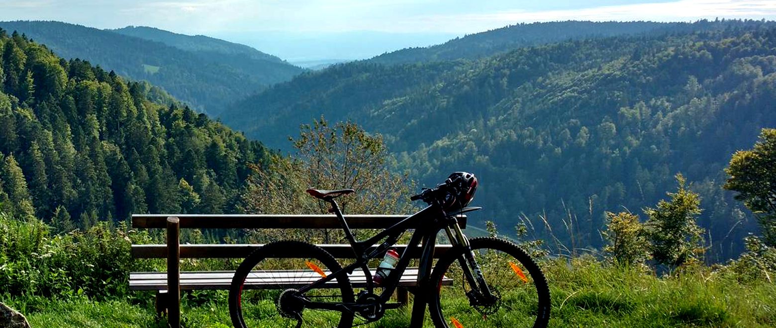
The Black Forest Crossing – From north to south in eight days
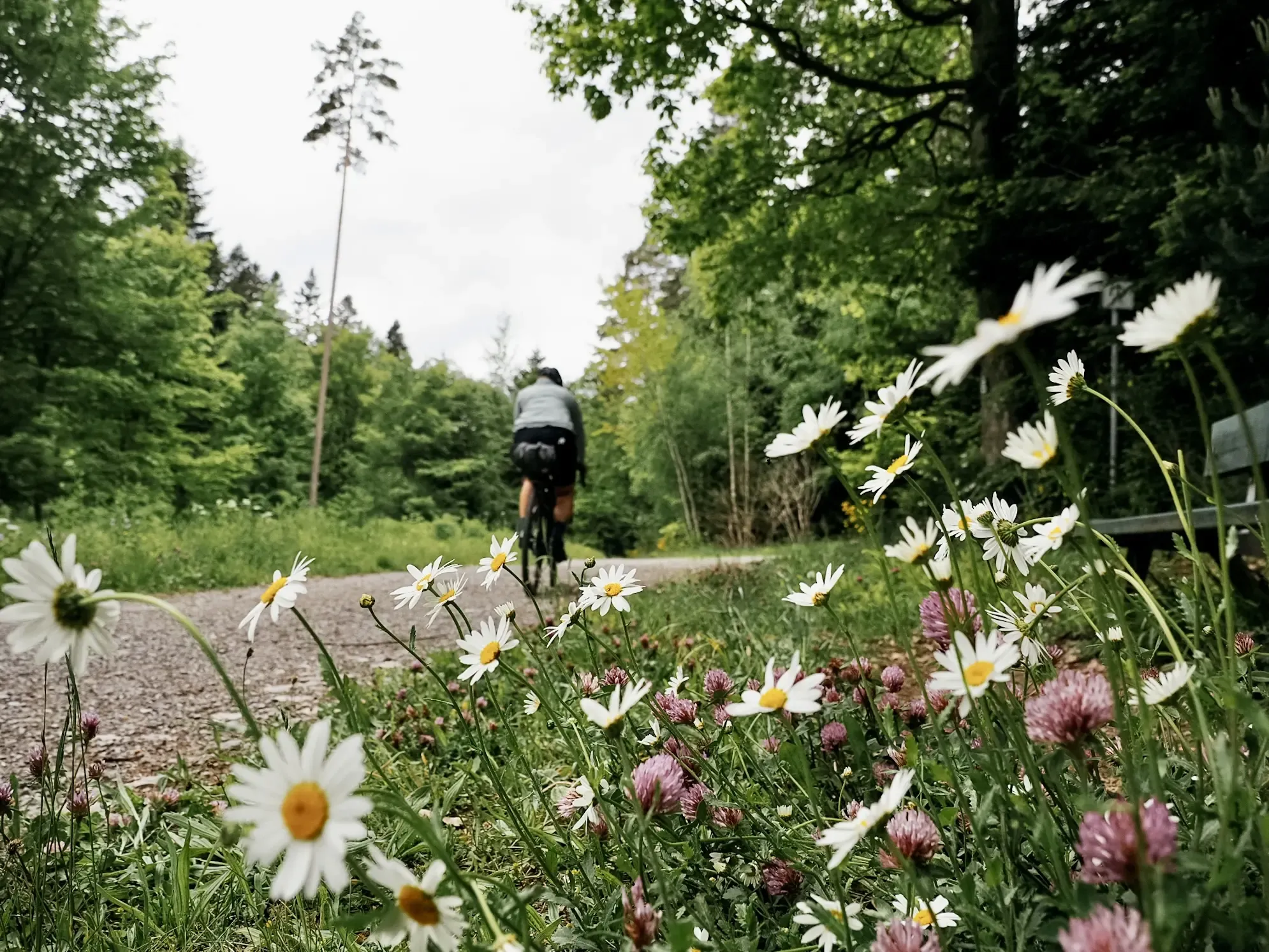
Naturparke-Gravel-Crossing: bikepacking in Baden-Württemberg
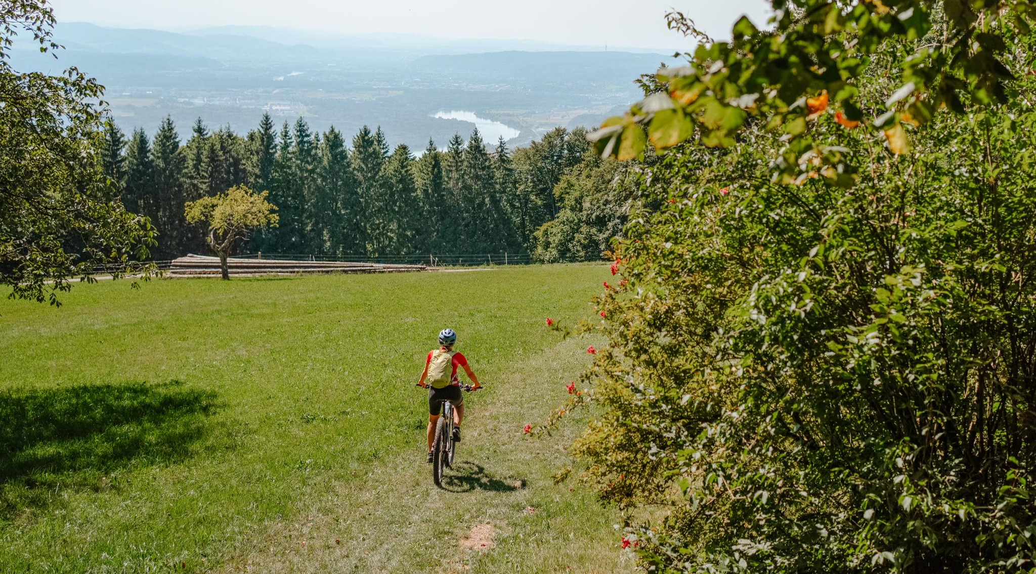
Build your dream ride: Modular biking in the Southern Black Forest
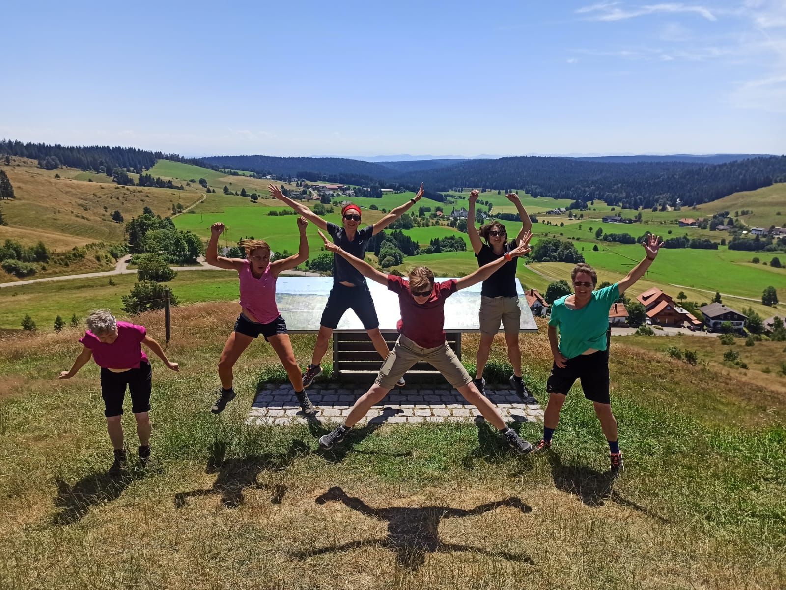
Schluchtensteig-West | From Schluchsee to Wehr
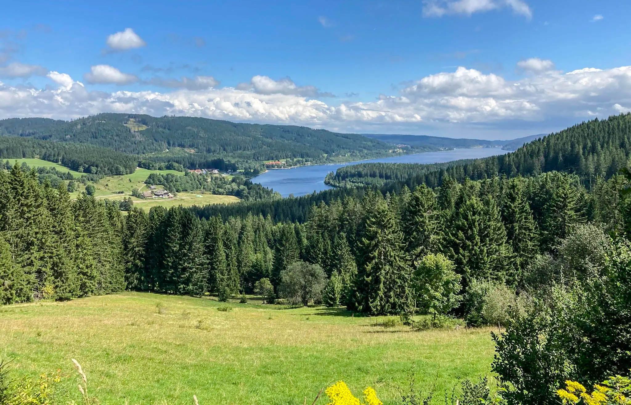
Experience Germany's Black Forest glass blowing history up close
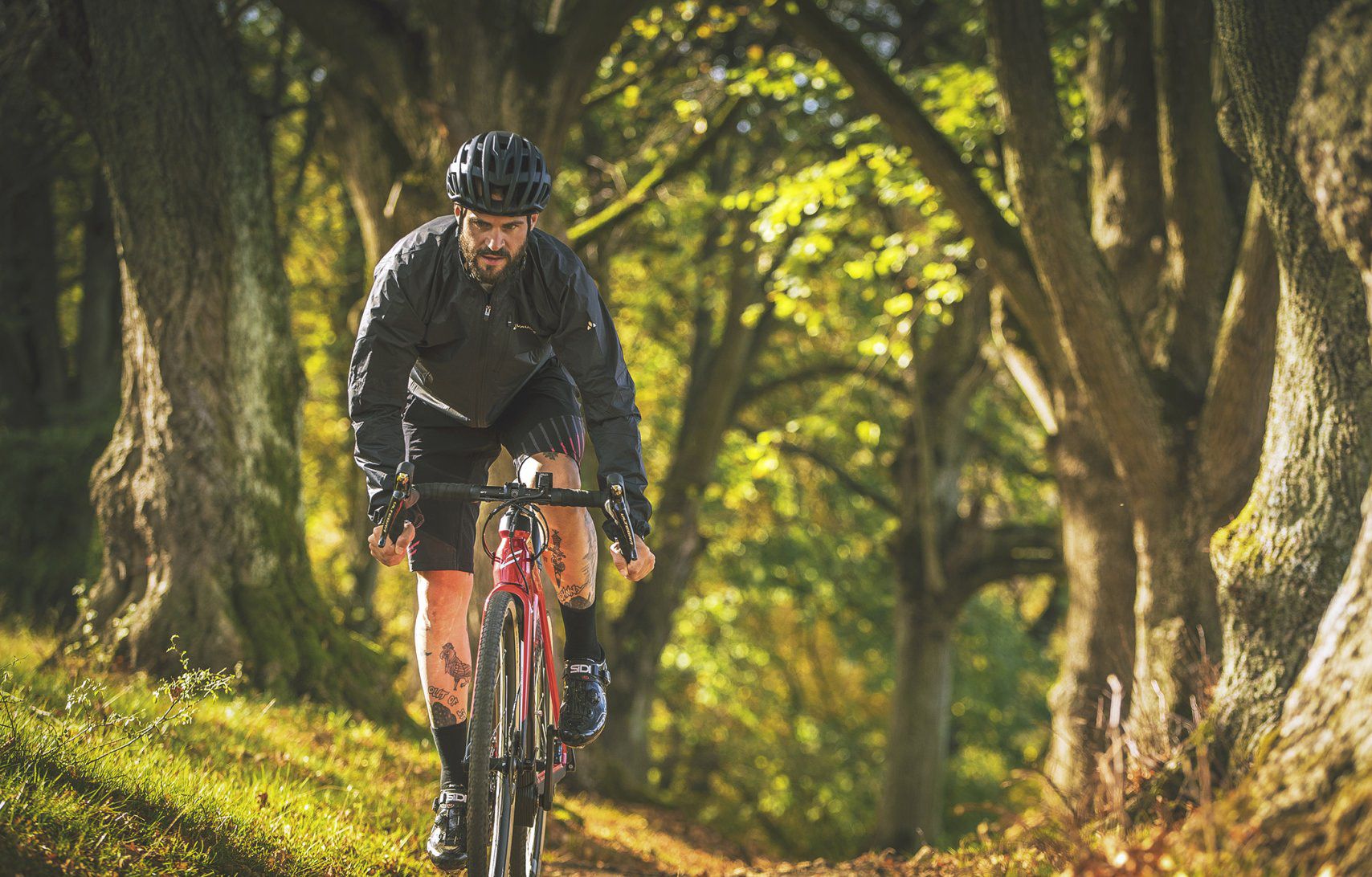
Nature Park Gravel Crossing from North to South – Baden-Württemberg
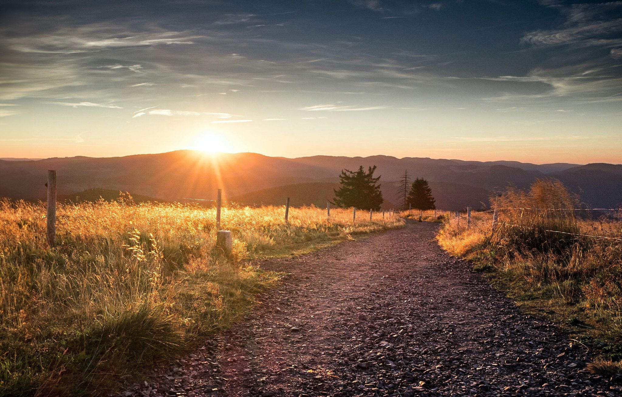
Autumn views on Genießerpfade and quality Tours in the Black Forest
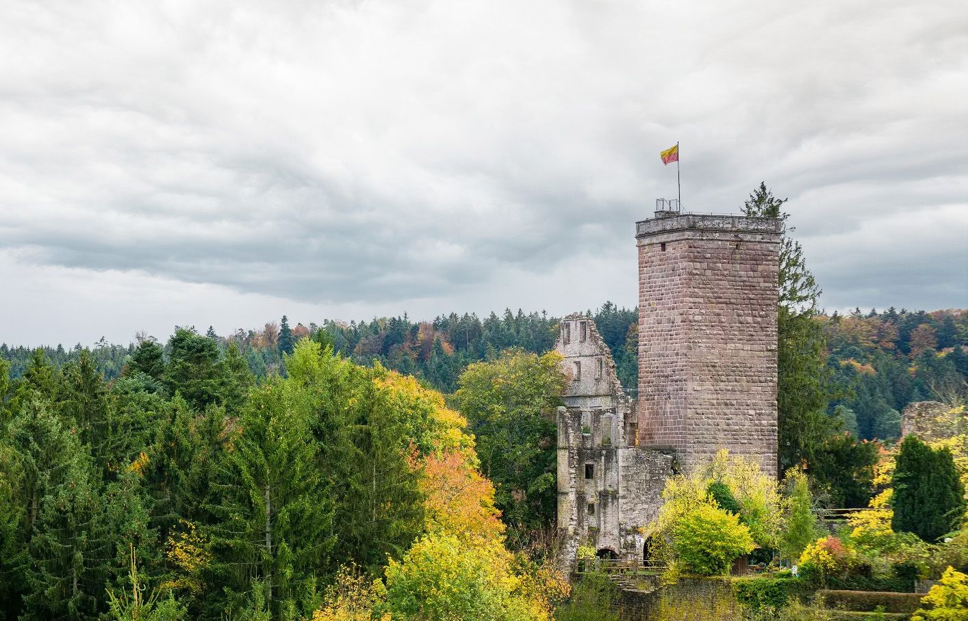
Castles, ghosts and knights – hike in Germany’s Black Forest pleasure trails
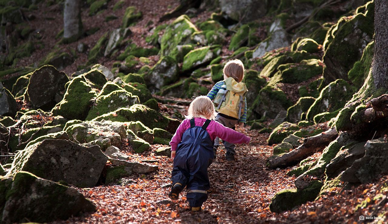
Discover nature through play – adventure trails for kids in the Upper Black Forest
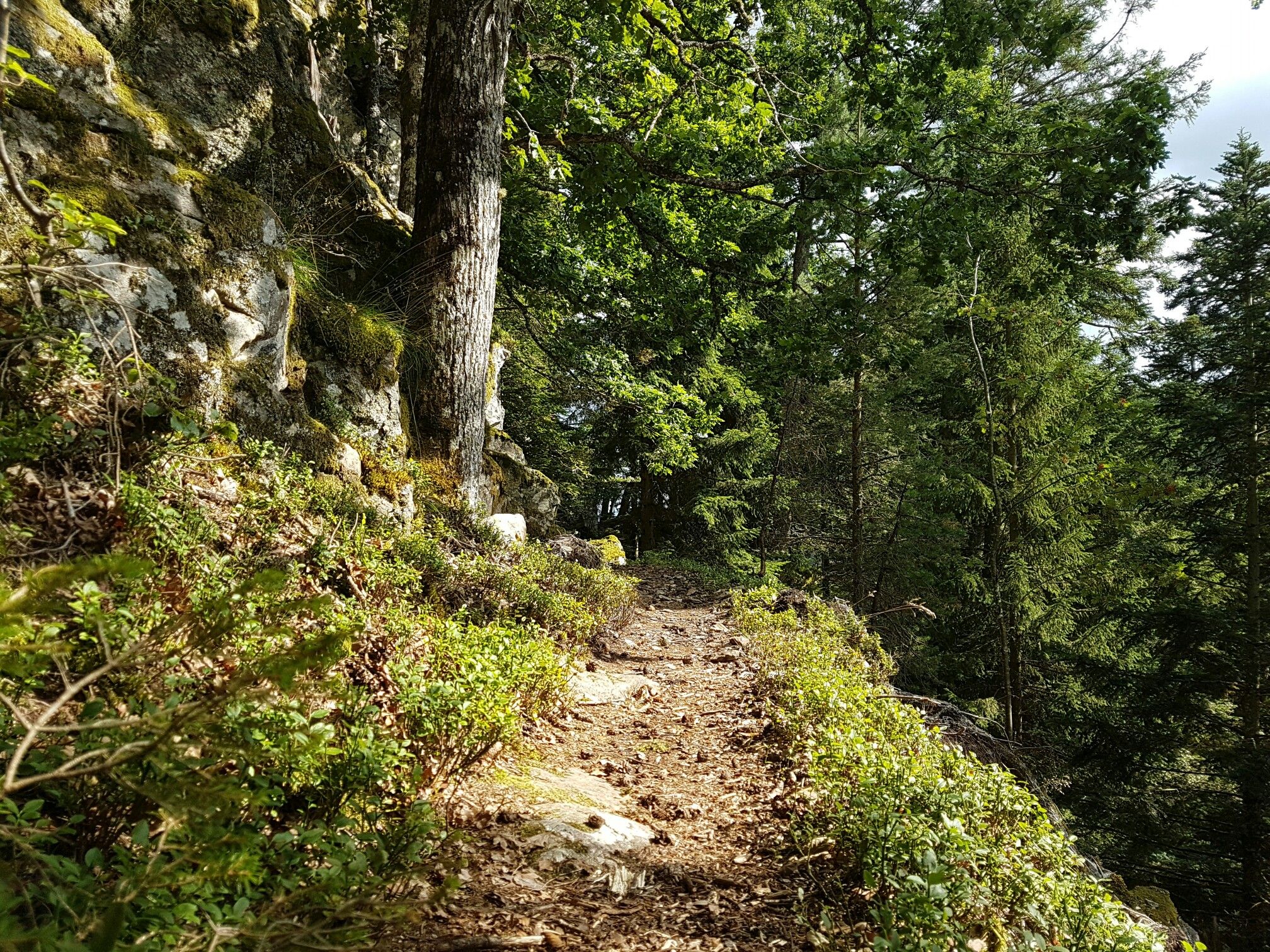
Through gorges on the Black Forest pleasure trails
Other adventures around Todtmoos


Tips from the Community

The cross-country ski center is a popular starting point for cross-country ski tours in winter and shows the great importance of winter sports in the region. Even outside the snow season, the open location offers beautiful views of the landscape of the Southern Black Forest.
0
0
The starting point of the Hans-Thoma-Künstlerweg invites you to discover the landscape that shaped many of his works, following in the footsteps of the famous Black Forest painter. An interesting place where nature, culture, and history meet.
0
0

The starting point of the Hans Thoma Künstlerweg, a cultural trail celebrating the famous Black Forest painter. Great panoramic views over the valley from here, with informational boards explaining the local artistic heritage.
0
0

In May 2026 still in very nice condition For the beautiful alternative on the Westweg - via Hofeckweg and Finsterbohlweg towards Menzenschwand Waterfall - it is worth it and several hut options!!
0
0

is near Mutterslehen there are beautiful hikes
0
0

The Klausenhof Open-Air Museum in the Hotzenwald Forest is a must-see for anyone who wants to experience history up close. The original, thatched-roof Hotzenhaus, dating from 1424, has been carefully rebuilt at its current location and conveys authentic life in the Southern Black Forest of past centuries. On-site, you can experience an exciting audio tour with ten stops via QR code. In addition to historical insights, the Klausenhof also offers events, markets, and even weddings with a unique atmosphere. Check out the website before your visit for more information: https://www.hotzenwald-schwarzwald.de/p/freilichtmuseum-klausenhof?_fwdid=25
1
0
There is an outdoor toilet and a drinking water fountain at the hut.
1
0
A small shelter with seating in bad weather or simply for a short rest. The hut is located directly on popular bike paths. A few goats can also be found nearby.
1
0
Frequently Asked Questions
How many gravel bike trails are available around Todtmoos?
There are over 60 gravel bike trails around Todtmoos, offering a wide range of options for different skill levels. Nearly 300 gravel bikers have already explored these routes using komoot.
What kind of terrain can I expect on gravel bike trails in Todtmoos?
Gravel biking in Todtmoos features a diverse mix of surfaces. You can expect a high proportion of natural trails (up to 58%) and gravel paths (up to 45%), winding through dense forests, blossoming valleys, and gentle ridges. Some routes also include asphalt sections, ensuring a dynamic ride.
Are there challenging gravel routes for experienced riders?
Yes, Todtmoos offers numerous challenging routes. For example, the Pedestrian Zone in Todtmoos – View of the Rhine Valley loop from Todtmoos is a difficult 39.2 km trail with significant elevation gain. Another demanding option is the View of Herzogenhorn – Menzenschwand Village loop from Bernau im Schwarzwald, covering 30.3 km with substantial climbs.
Are there any moderate or beginner-friendly gravel routes?
Yes, there are several moderate routes suitable for those looking for a less strenuous ride. The Bernau Spa Park – Langhalde Hut loop from Bernau im Schwarzwald is a moderate 16.6 km path winding through forests. Another good option is the Ascent to Krunkelbach Hut – View of Bernau loop from Bernau im Schwarzwald, a moderate 10.6 km route.
What are the best times of year for gravel biking in Todtmoos?
The spring, summer, and autumn months are ideal for gravel biking in Todtmoos, offering pleasant temperatures and vibrant scenery. As a climatic health resort, Todtmoos provides clean air and a stimulating climate, enhancing the outdoor experience throughout these seasons.
What natural features or landmarks can I see along the gravel bike trails?
Many trails wind through wild-romantic valleys like the Wehratal, offering constantly changing scenery. You can also find impressive waterfalls such as the Menzenschwand Waterfalls and the Windberg Waterfall. The region also features picturesque gorges like the Windberg Gorge and Wolfsschlucht Gorge.
Are there any viewpoints with panoramic views along the routes?
Yes, the region offers numerous viewpoints. The Hochkopf Mountain, at 1263 meters, features a lookout tower with striking panoramic views of the surrounding mountains, including Belchen, Feldberg, and even the Alps on clear days. Many routes, like the St. Amantini hut – View of the Rhine Valley loop from Todtmoos, also offer scenic vistas.
What do other gravel bikers say about the trails in Todtmoos?
The routes in Todtmoos are highly rated by the komoot community, with an average score of 4.8 stars from over 40 reviews. Riders often praise the diverse terrain, the high proportion of natural and gravel paths, and the stunning Black Forest scenery.
Can I find circular gravel bike routes in Todtmoos?
Yes, many gravel bike routes in Todtmoos are designed as circular loops, allowing you to start and end at the same point. Examples include the Pedestrian Zone in Todtmoos – View of the Rhine Valley loop from Todtmoos and the Bernau Spa Park – Langhalde Hut loop from Bernau im Schwarzwald.
Is Todtmoos suitable for multi-day gravel biking trips?
Yes, Todtmoos is a point on the challenging Naturpark-Gravel-Crossing, a multi-day gravel route. A 48-kilometer stage leads from Muggenbrunn to Todtmoos, featuring over 1500 meters of altitude and numerous viewpoints, making it suitable for multi-day adventures.
What is the elevation gain like on gravel trails around Todtmoos?
The elevation gain varies significantly depending on the route. Todtmoos is situated at altitudes ranging from 700 to 1263 meters above sea level, so many routes feature substantial climbs. For instance, the Pedestrian Zone in Todtmoos – View of the Rhine Valley loop from Todtmoos has an elevation gain of over 860 meters.
Most popular routes around Todtmoos
Most popular attractions around Todtmoos

Get inspired with the komoot mobile app


Explore more
Browse the best Gravel rides in other regions.
