The best gravel rides around Obermaiselstein
4.6
(499)
3,346
riders
81
rides
Gravel biking around Obermaiselstein offers a diverse landscape characterized by alpine valleys, forested slopes, and clear mountain streams. The region features varied terrain, including ascents to viewpoints and paths through scenic valleys like the Oytal and Lochbach. These trails provide opportunities to explore the natural environment of the Allgäu Alps.
Best gravel bike trails around Obermaiselstein
- The most popular gravel bike trail is Oytal Valley – Christlessee loop from Fischen, a 33.2 miles (53.4 km) trail that takes 3…
Last updated: October 5, 2026
4.9
(27)
198
riders
Hard gravel ride. Very good fitness required. Mostly paved surfaces. Suitable for all skill levels.
4.8
(23)
116
riders
56.2km
03:12
670m
670m
Hard gravel ride. Very good fitness required. Mostly paved surfaces. Suitable for all skill levels.

4.7
(13)
94
riders
54.1km
03:45
1,220m
1,220m
Hard gravel ride. Very good fitness required. Mostly paved surfaces. Suitable for all skill levels.
4.6
(22)
100
riders
41.2km
02:17
470m
470m
Hard gravel ride. Very good fitness required. Mostly paved surfaces. Suitable for all skill levels.
4.0
(1)
7
riders
21.0km
01:55
830m
830m
Hard gravel ride. Very good fitness required. Mostly paved surfaces. Suitable for all skill levels.
Get access to more routes and recommendations from other explorers.
Already have an account?
Our route recommendations are based on thousands of hikes, rides, and runs completed by other people on komoot.
Start today with a free account
Your next adventure awaits.
Popular around Obermaiselstein

The Best of Allgäu – Tour around Oberallgäu
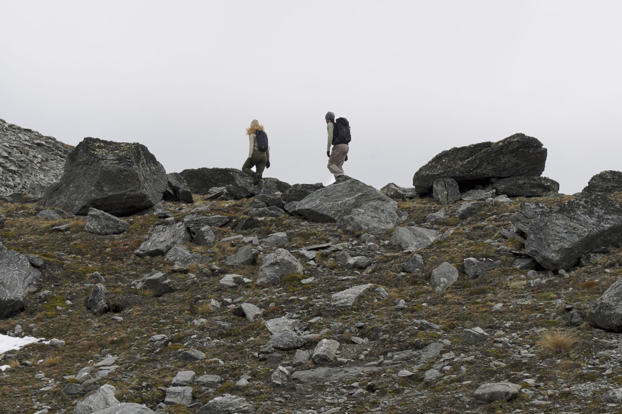
Trails Where The Right Warmth Matters – Alpine Adventures with icebreaker
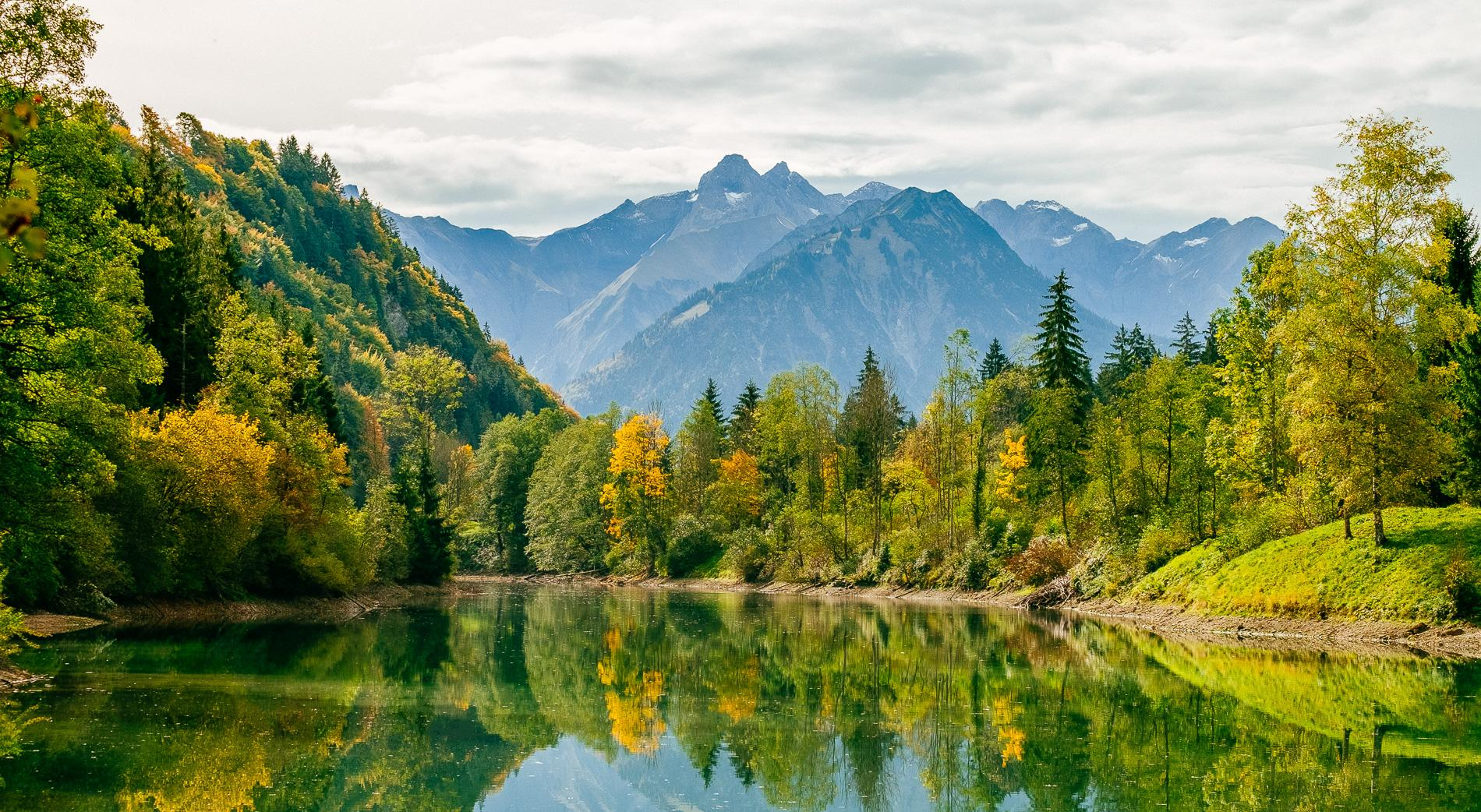
Golden Allgäu – autumn hiking in the Hörner villages

Climbing Alpine peaks on the Route to the Top – Allgäu hiking trilogy
Allgäu pleasure peaks
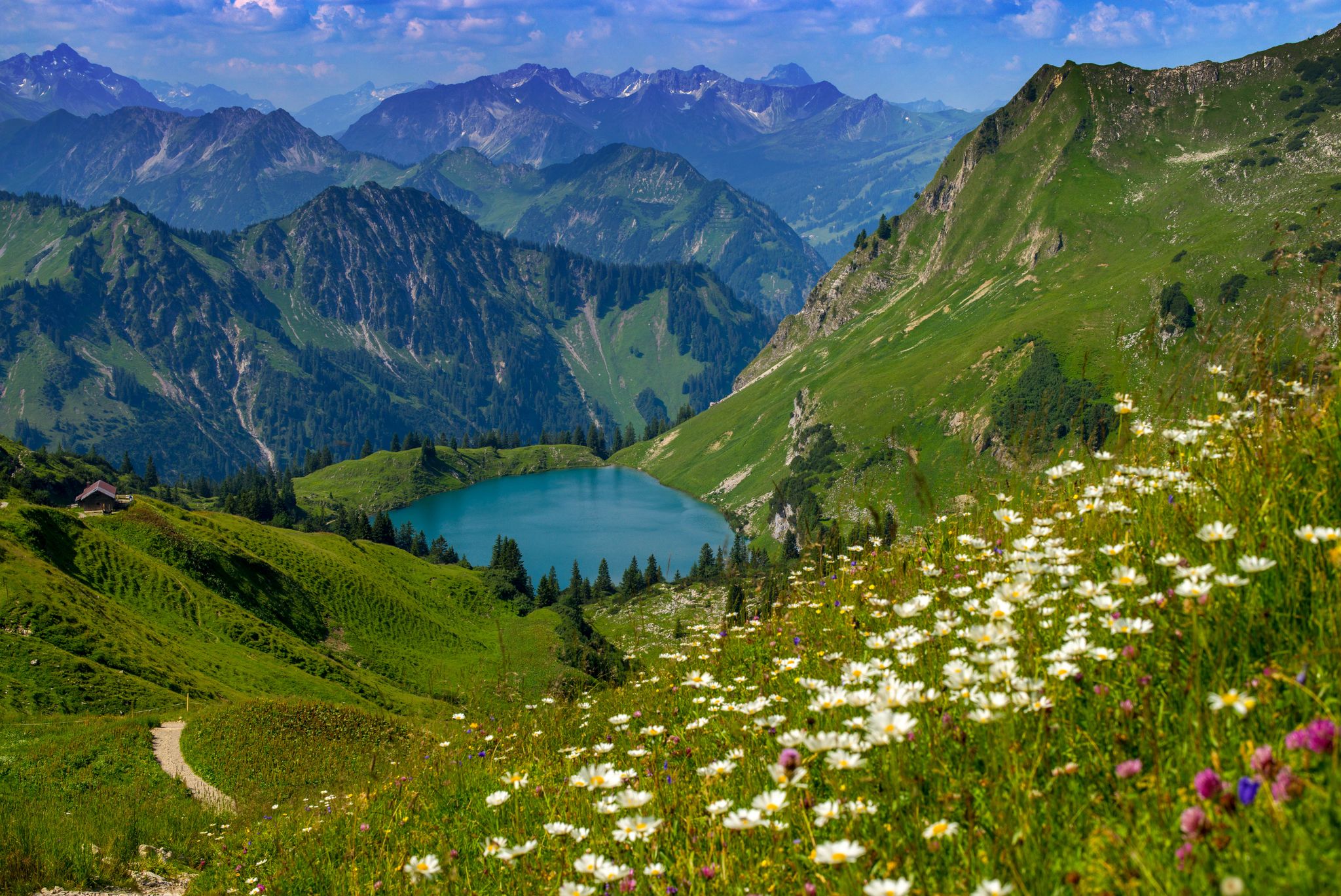
Bergwiesen im Allgäu – 8 Wanderungen über blühende Alpen
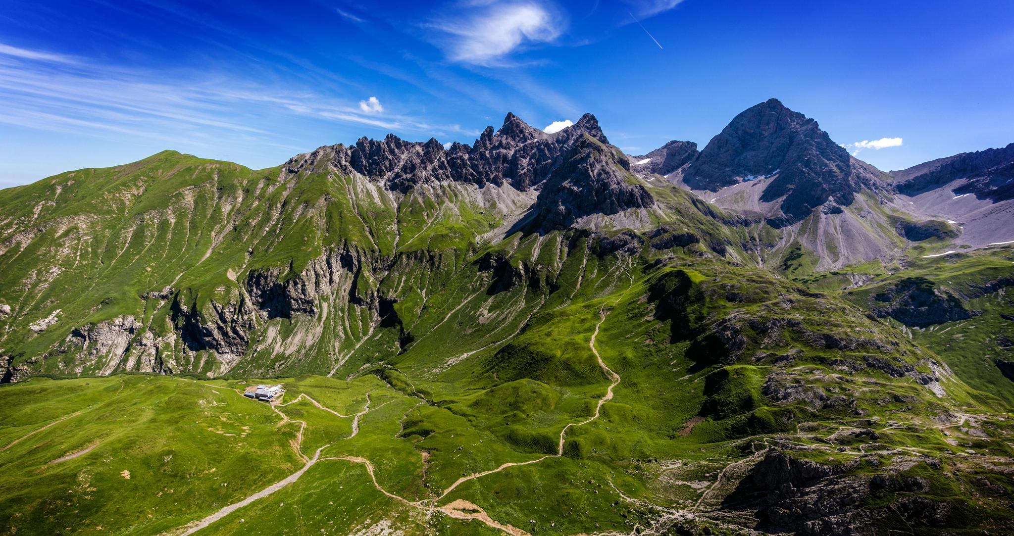
Alpenblick im Allgäu – 8 Wanderungen mit Bergpanorama
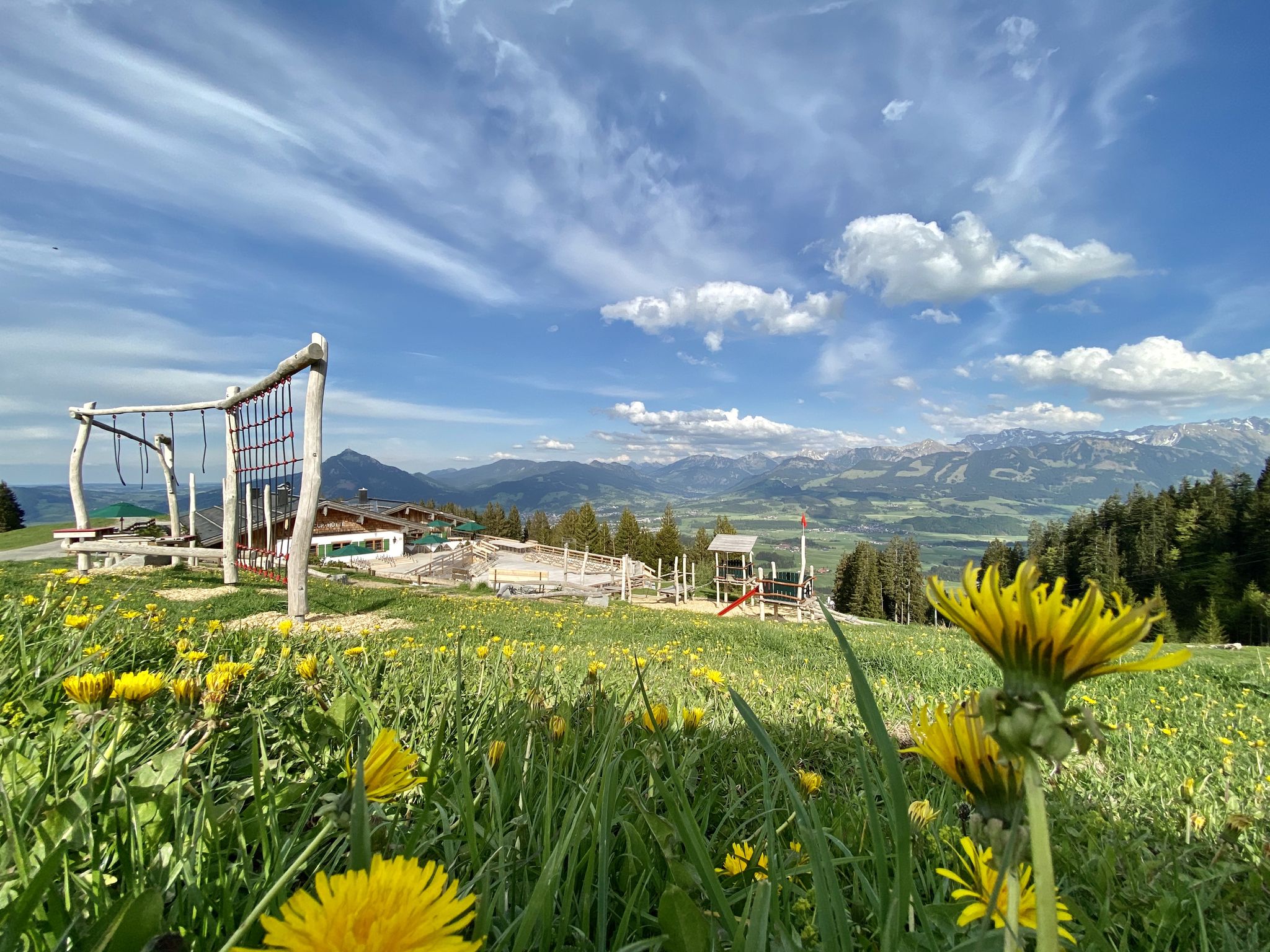
Hörnerdörfer - Themenwege
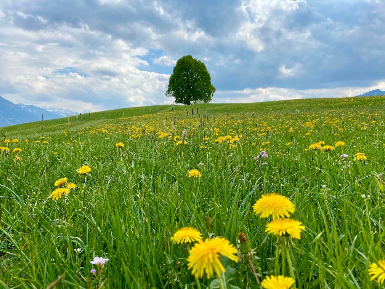
Hörnerdörfer - Idyllische Talwanderungen
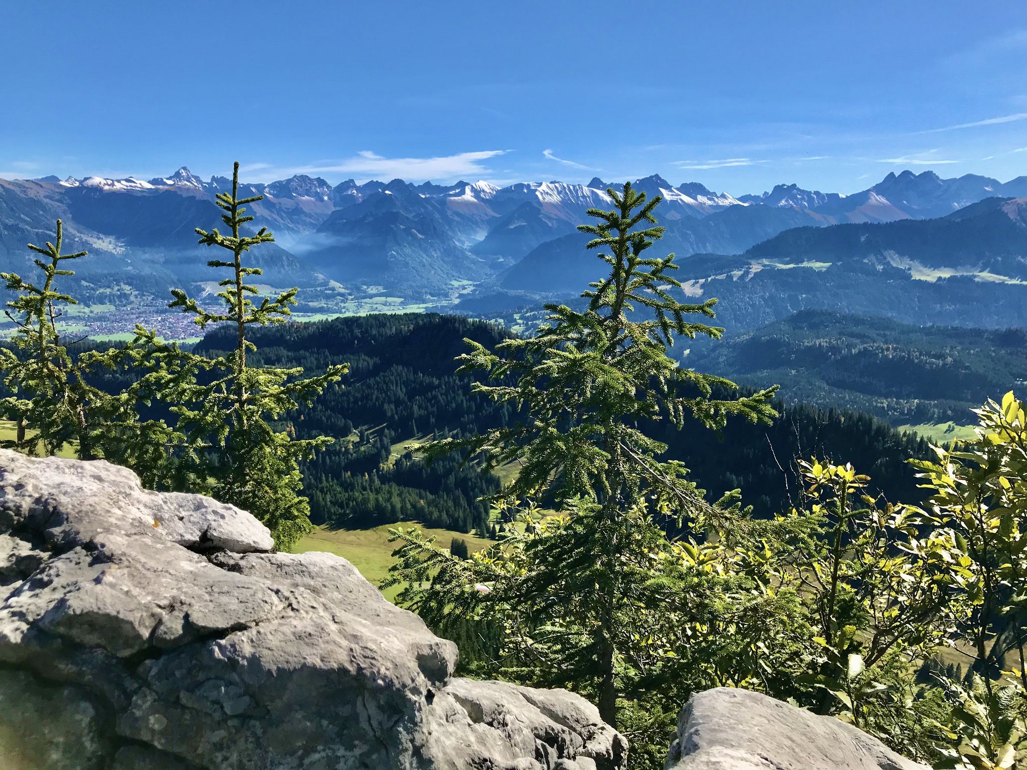
Hörnerdörfer - Aussichtsreiche Gipfelwanderungen
Other adventures around Obermaiselstein


Tips from the Community

No idea how many views there are here 😅
0
0

The Trettachtal offers a variety of hospitable places to stop for refreshments.
0
0
The Oytal is a beautiful valley near Oberstdorf. It is a popular destination for hikers and cyclists and is known for its tree-lined avenues, high mountains, and the Stuibenfall.
1
0

Super tour from Sonthofen to Rottachsee a bit strenuous but could swim great in the lake.
0
0

Beautiful to hike through, even in winter.
0
0

Wonderful approach at the start of the tour,
0
0


The Oytal valley is absolutely beautiful, with many hiking and cycling trails and lots of things to discover.
2
1
Frequently Asked Questions
How many gravel bike trails are available around Obermaiselstein?
There are over 100 gravel bike routes in the Obermaiselstein region, offering a wide range of options for different skill levels. You'll find everything from moderate paths to challenging alpine trails.
What is the typical difficulty level of gravel bike routes in Obermaiselstein?
The majority of gravel bike routes around Obermaiselstein are classified as difficult, with 58 challenging trails. There are also 35 moderate routes and 13 easier options, ensuring there's something for every rider.
Are there any family-friendly gravel biking options in Obermaiselstein?
While many routes are challenging, some of the easier and moderate trails can be suitable for families, especially those with some gravel biking experience. Look for routes with less elevation gain and smoother surfaces. Always check the route details on komoot for specific difficulty and terrain information.
What kind of views and natural attractions can I expect on these gravel bike trails?
The trails often lead through alpine valleys, forested slopes, and past clear mountain streams. You can expect stunning views of the Allgäu Alps. Many routes offer opportunities to see natural attractions such as the Oytal Valley, the Christlessee, and the Hinanger Waterfall.
Are there any waterfalls or gorges accessible by gravel bike in the area?
Yes, several routes pass near or offer views of impressive natural features. For example, the Oytal Valley – Christlessee loop from Fischen explores the Oytal Valley. You can also find highlights like the Hinanger Waterfall and the Faltenbach Gorge Waterfalls in the broader region.
What do other gravel bikers say about the trails in Obermaiselstein?
The gravel biking routes in Obermaiselstein are highly rated by the komoot community, with an average score of 4.6 stars from over 450 reviews. Riders often praise the diverse landscape, the challenging ascents to viewpoints, and the scenic paths through valleys like the Oytal and Lochbach.
Are there any loop trails for gravel biking around Obermaiselstein?
Yes, many of the gravel bike routes in Obermaiselstein are designed as loops, allowing you to start and finish at the same point. Examples include the View of the Oytal Valley – Oytal Valley loop from Langenwang (Schwaben) and the Lochbach Valley Alpine Trail – Lochbachtal Valley loop from Langenwang (Schwaben).
What is the best time of year for gravel biking in Obermaiselstein?
The region is generally best for gravel biking from late spring through early autumn (May to October) when the weather is milder and trails are clear of snow. Always check local weather conditions before heading out, especially in the shoulder seasons, as alpine weather can change quickly.
Are there any longer gravel bike routes for experienced riders?
Absolutely. For experienced riders looking for longer distances, routes like the View from Hörnlepass – Source of the Iller loop from Fischen, at over 38 km, offer significant challenges and elevation. The region is known for its demanding, longer trails.
Where can I find parking for gravel biking trails in Obermaiselstein?
Many trailheads and villages in the Obermaiselstein area, such as Fischen and Langenwang, offer designated parking areas. It's advisable to check the specific tour details on komoot for recommended starting points and parking information for your chosen route.
Can I reach the gravel biking trails using public transport?
Obermaiselstein and surrounding villages are generally well-connected by local bus services. Some routes may be accessible directly from bus stops, allowing for car-free exploration. Check local public transport schedules and route starting points to plan your journey.
Are there cafes or places to eat near the gravel bike trails?
Yes, the villages and hamlets throughout the Obermaiselstein region, as well as some popular points along the trails, offer opportunities for refreshments. You'll find traditional Bavarian guesthouses and cafes where you can refuel. Consider routes that pass through villages like Fischen or Langenwang for convenient stops.
Most popular routes around Obermaiselstein
Most popular attractions around Obermaiselstein

Get inspired with the komoot mobile app


Explore more
Browse the best Gravel rides in other regions.
