The best gravel rides around Pulheim
4.4
(51)
179
riders
18
rides
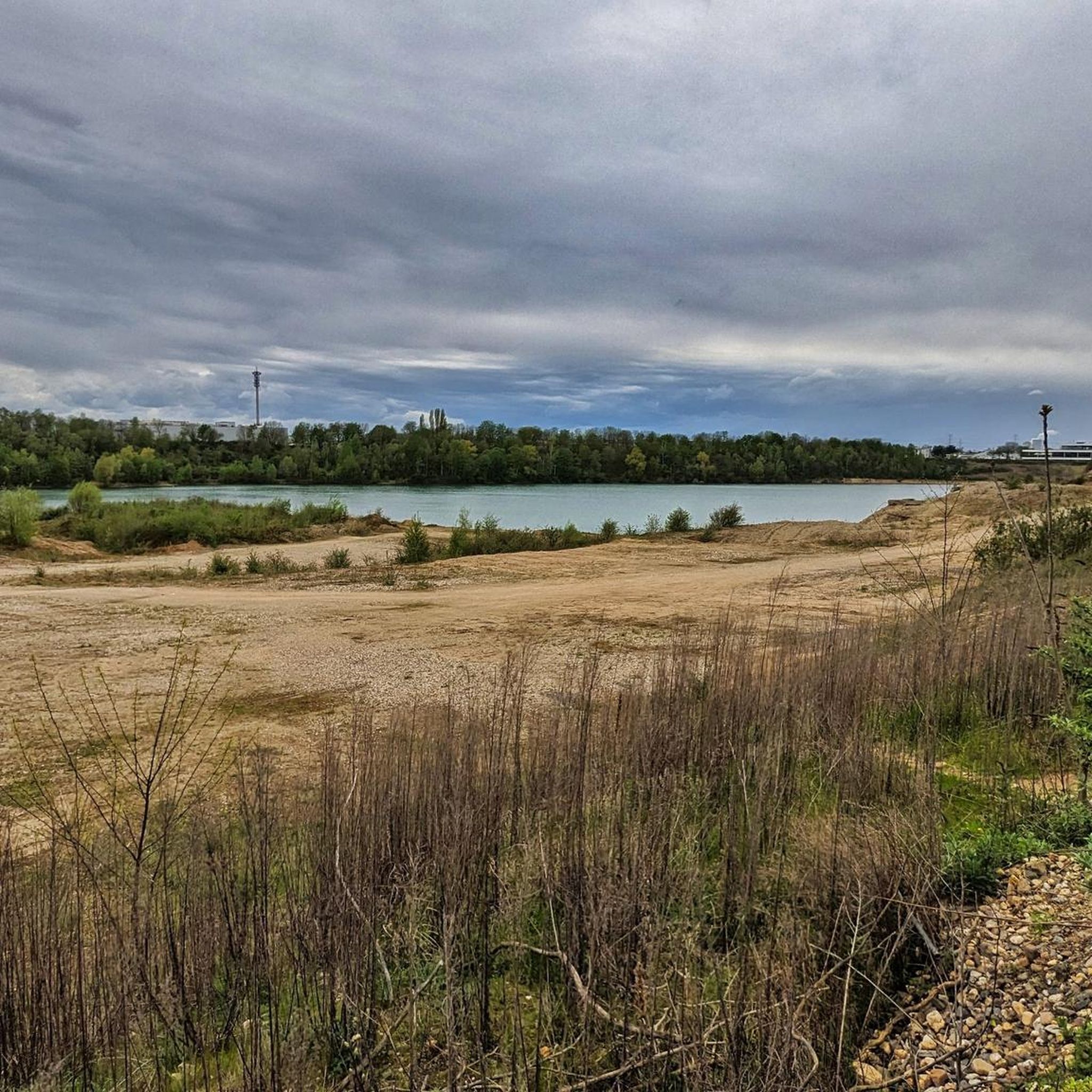
Gravel biking around Pulheim features a landscape characterized by a mix of agricultural fields, forested areas like the Chorbusch, and gentle hills such as the Glessener Höhe. The region offers varied terrain, from flat sections suitable for speed to routes with notable elevation gains, particularly around features like the Höller Horn and Sophienhöhe. Water bodies, including the Decksteiner Pond, are also part of the local scenery. These elements combine to create diverse gravel bike trails suitable for different skill levels.
…Last updated: July 2, 2026
12
riders
Hard gravel ride. Very good fitness required. Mostly paved surfaces. Suitable for all skill levels.
17
riders
Moderate gravel ride. Good fitness required. Mostly paved surfaces. Suitable for all skill levels.

Sign up for free
4.4
(25)
15
riders
40.6km
02:12
130m
130m
Moderate gravel ride. Good fitness required. Mostly paved surfaces. Suitable for all skill levels.
5.0
(1)
12
riders
54.0km
03:17
290m
290m
Moderate gravel ride. Good fitness required. Mostly paved surfaces. Suitable for all skill levels.
4.0
(1)
26
riders
Easy gravel ride. Great for any fitness level. Mostly paved surfaces. Suitable for all skill levels.
Get access to more routes and recommendations from other explorers.
Sign up for free
Already have an account?
Our route recommendations are based on thousands of hikes, rides, and runs completed by other people on komoot.
Start today with a free account
Your next adventure awaits.
Login or Signup
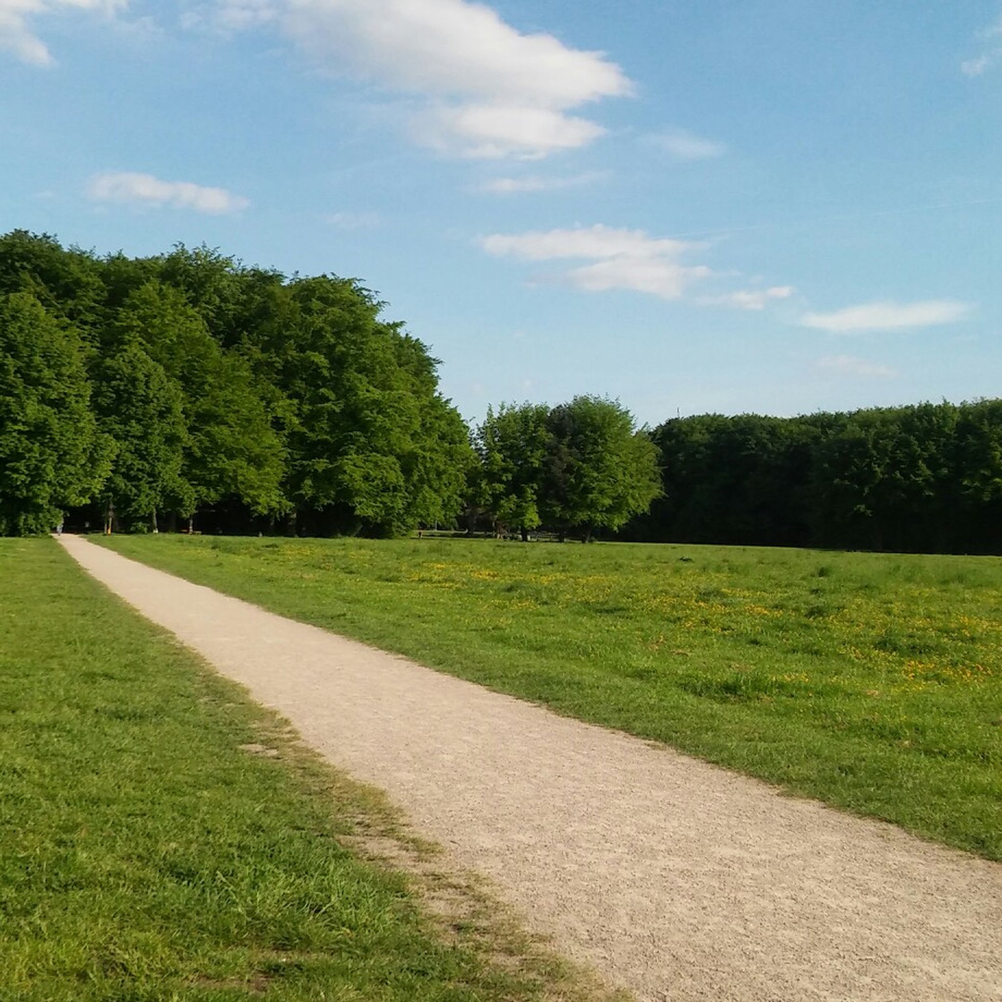
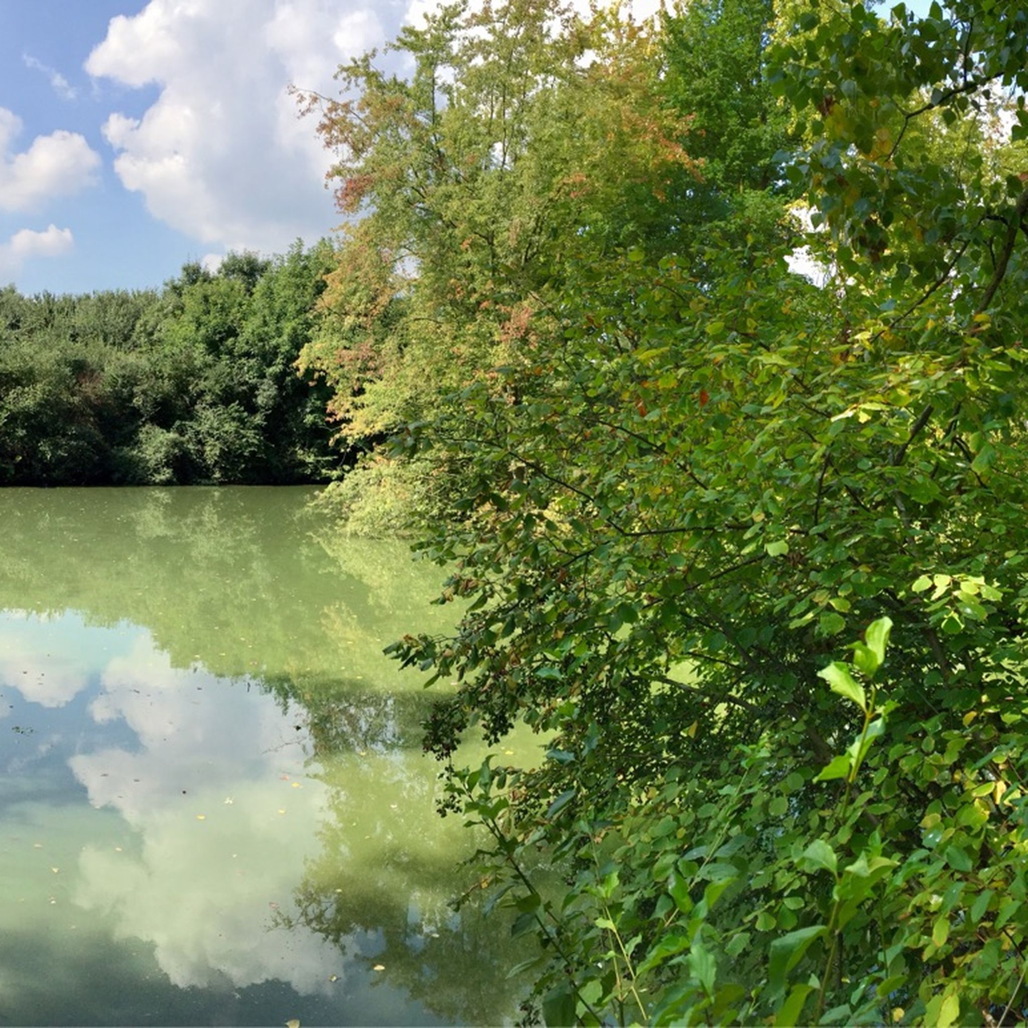
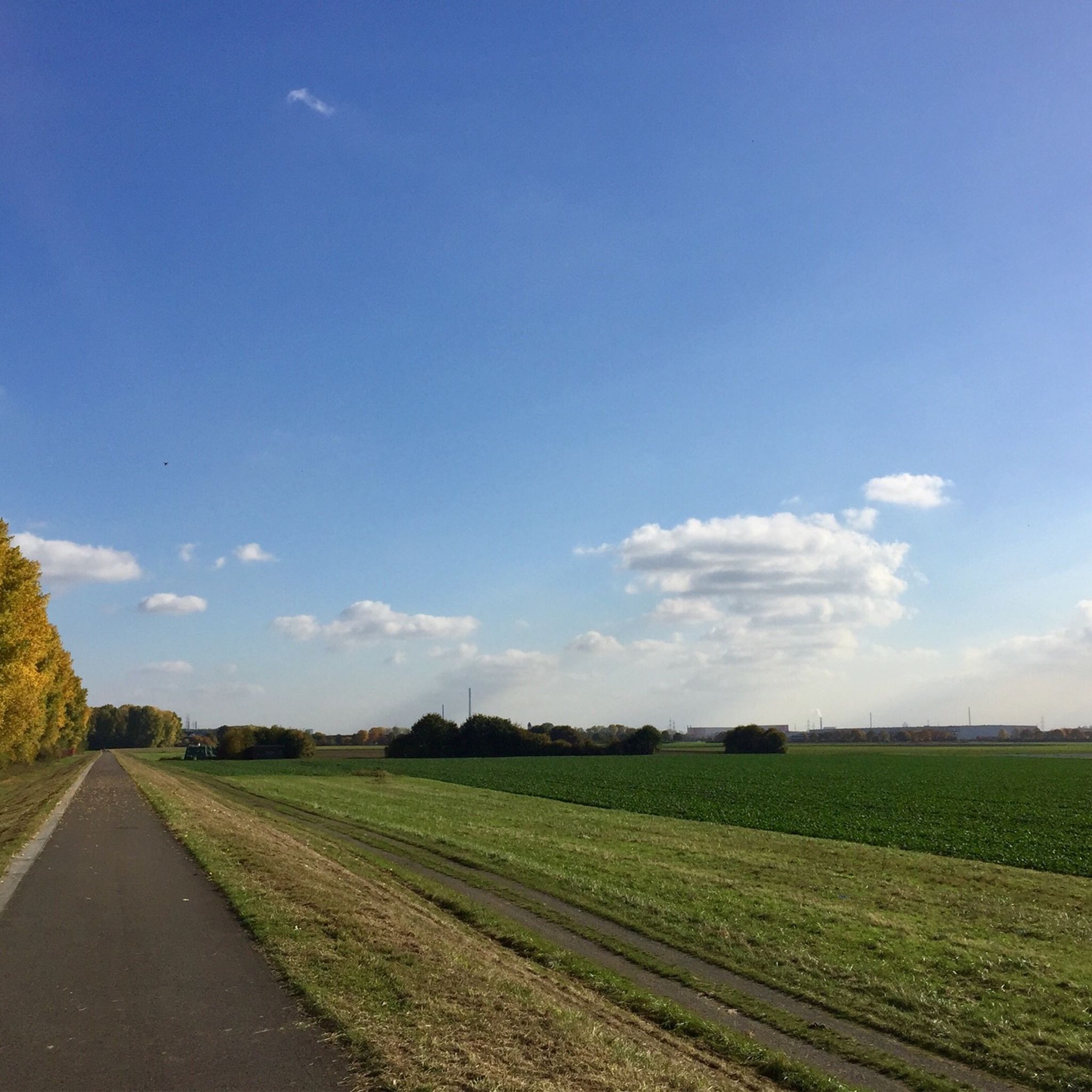
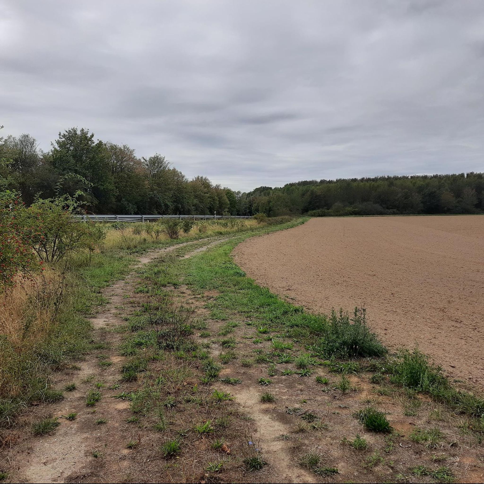
Tips from the Community

Very beautiful monastery grounds, also worth a walk!
0
0


Beautiful, paved and gravel roads/paths to give your legs a bit of a workout.
1
0

The tower bears a weather vane inscribed with "Monte Sophia" and, together with the Roman Tower, is one of the prominent viewpoints on the reclaimed Sophienhöhe, which was once used as a spoil heap for the Hambach open-cast mine. The HöllerHorn reaches approximately 291.5 meters above sea level, making it one of the highest points on the Sophienhöhe, but it lies just below the summit level of the Roman Tower (301.8 meters above sea level).
30
0
Frequently Asked Questions
How many gravel bike trails are available around Pulheim?
There are over 40 gravel bike routes in the Pulheim region, offering a diverse range of experiences. These include 9 easy routes, 26 moderate routes, and 7 challenging options, ensuring there's something for every skill level.
What kind of terrain can I expect on gravel bike trails in Pulheim?
Gravel biking around Pulheim features a varied landscape. You'll encounter a mix of agricultural fields, dense forested areas like the Chorbusch, and gentle hills such as the Glessener Höhe. The terrain ranges from flat sections ideal for speed to routes with notable elevation gains, particularly around features like the Höller Horn and Sophienhöhe.
Are there any easy gravel bike trails suitable for beginners or families in Pulheim?
Yes, Pulheim offers several easy gravel routes. A great option for a more relaxed ride is the Decksteiner Pond – Decksteiner Pond loop from LVR Kulturzentrum Abtei Brauweiler, which is 34.4 km long with minimal elevation gain, perfect for enjoying the scenery without significant challenge.
Where can I find challenging gravel bike routes with significant climbs near Pulheim?
For those seeking a challenge, routes like the Stone Compass Rest Area – Höller Horn Observation Tower loop from Köln-Weiden West offer substantial elevation changes. This difficult 89.4 km route includes nearly 900 meters of climbing, passing by the Höller Horn Observation Tower.
Are there any scenic viewpoints or landmarks along the gravel trails in Pulheim?
Absolutely. Many routes offer scenic views, especially from elevated points like the Glessener Höhe. You can explore the Approach to Glessener Höhe – View from Glessener Höhe loop from LVR Kulturzentrum Abtei Brauweiler for panoramic vistas. Additionally, historical sites like the Knechtsteden Monastery are often incorporated into routes, such as the Knechtsteden Monastery – Chorbusch Forest Trail loop from Stommeln.
What do other gravel bikers say about the trails in Pulheim?
The gravel routes in Pulheim are highly regarded by the komoot community, boasting an average rating of 4.6 stars from over 60 reviews. Riders frequently praise the diverse mix of open fields and dense woodlands, as well as the well-maintained paths that cater to various skill levels.
Are there any long-distance gravel bike routes around Pulheim?
Yes, if you're looking for longer rides, Pulheim has options. The Speedway Terra Nova – Roman Tower on Sophienhöhe loop from Köln-Weiden West is a challenging 73.3 km route that takes you through varied landscapes, including significant climbs, making it suitable for a full day out.
Can I find gravel bike trails that pass by water bodies in Pulheim?
Yes, the region includes several water bodies that are part of the local scenery. The Decksteiner Pond – Decksteiner Pond loop from LVR Kulturzentrum Abtei Brauweiler is an excellent example, offering pleasant riding around the Decksteiner Pond. Other nearby highlights include the Fühlinger Lake and the Adenauer Pond.
Are there any specific points of interest or attractions near the gravel bike trails in Pulheim?
Beyond the trails themselves, the Pulheim area offers several points of interest. You can find highlights like the Decksteiner Pond Bridge, or explore the Root Trail Glessener Höhe for a different kind of outdoor experience. The historic Knechtsteden Monastery is also a notable landmark.
What is the best time of year for gravel biking in Pulheim?
Pulheim's gravel trails are enjoyable throughout much of the year. Spring and autumn offer pleasant temperatures and vibrant scenery, while summer provides longer daylight hours. Even in winter, many routes remain accessible, though conditions can vary, especially in forested areas.
Are there loop gravel bike trails available in Pulheim?
Most gravel bike routes in Pulheim are designed as loops, allowing you to start and finish at the same point. Examples include the Stone Compass Rest Area – Höller Horn Observation Tower loop from Köln-Weiden West and the Knechtsteden Monastery – Chorbusch Forest Trail loop from Stommeln, providing convenient circular journeys.
Most popular routes around Pulheim
Most popular attractions around Pulheim

Get inspired with the komoot mobile app


Explore more
Browse the best Gravel rides in other regions.
