The best gravel rides around Gaggenau
4.4
(80)
511
riders
40
rides
Gravel biking around Gaggenau offers diverse terrain within the northern Black Forest region of Germany. The area features a mix of picturesque valleys, lush forests, and the foothills of the Black Forest, providing varied routes. The Murg River flows through Gaggenau, offering trails along its valley, while the surrounding Black Forest provides rolling hills and deeply incised terrain with significant elevation changes. This landscape caters to a range of gravel biking experiences, from forest paths to challenging ascents.
Best gravel…
Last updated: August 27, 2026
5.0
(2)
34
riders
54.5km
03:40
860m
860m
Hard gravel ride. Very good fitness required. Mostly paved surfaces. Suitable for all skill levels.
5.0
(1)
15
riders
71.9km
04:32
1,130m
1,130m
Hard gravel ride. Very good fitness required. Mostly paved surfaces. Suitable for all skill levels.

Sign up for free
5.0
(1)
10
riders
29.4km
02:24
690m
690m
Hard gravel ride. Very good fitness required. Mostly paved surfaces. Suitable for all skill levels.
7
riders
24.0km
01:51
600m
600m
Hard gravel ride. Very good fitness required. You may need to push your bike for some segments of this route.
9
riders
Hard gravel ride. Very good fitness required. Mostly paved surfaces. Suitable for all skill levels.
Get access to more routes and recommendations from other explorers.
Sign up for free
Already have an account?
Our route recommendations are based on thousands of hikes, rides, and runs completed by other people on komoot.
Start today with a free account
Your next adventure awaits.
Login or Signup
Popular around Gaggenau
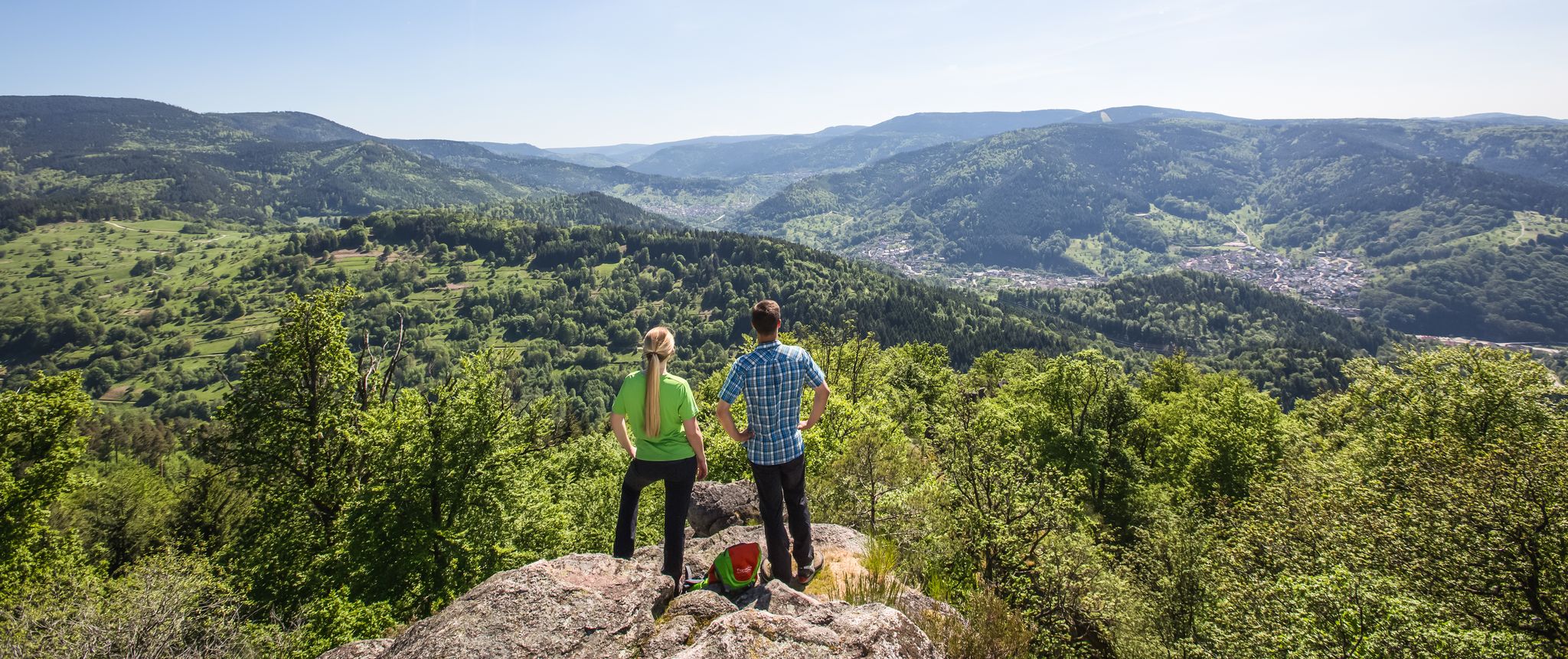
Murgleiter Trail – Experience the diverse Murg Valley in 5 stages
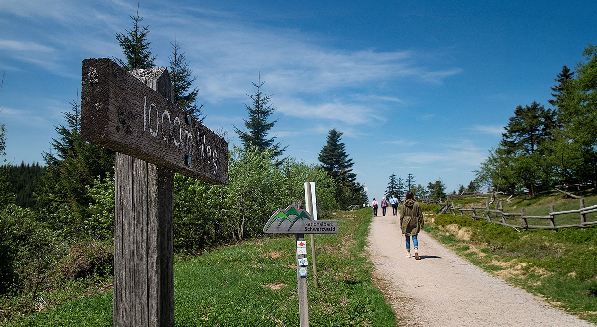
Barrier-free hikes in the Black Forest National Park
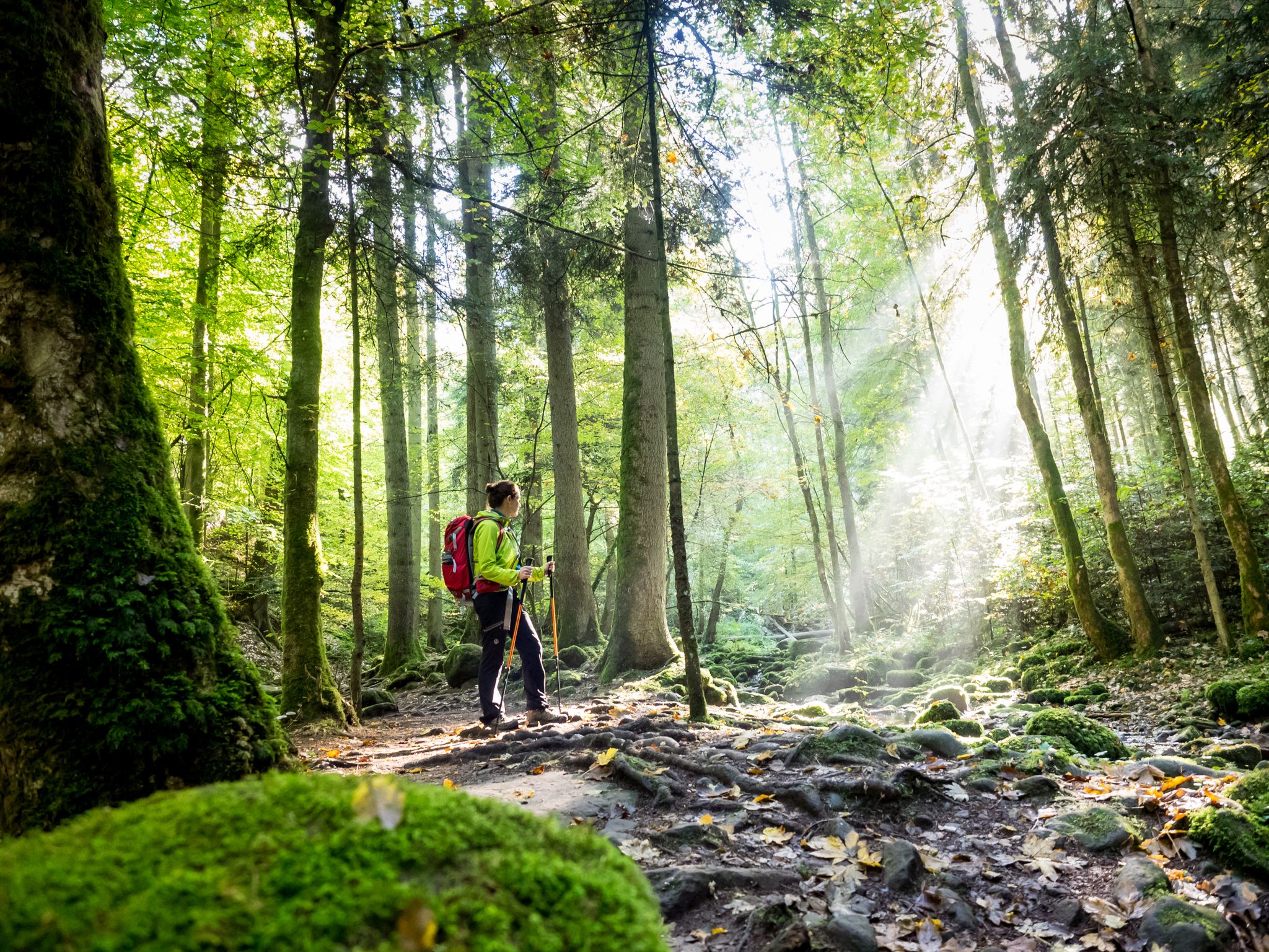
Far from the hustle and bustle – Hidden Trails in the Black Forest

Coolcation in the Black Forest – hiking and cooling off in summer
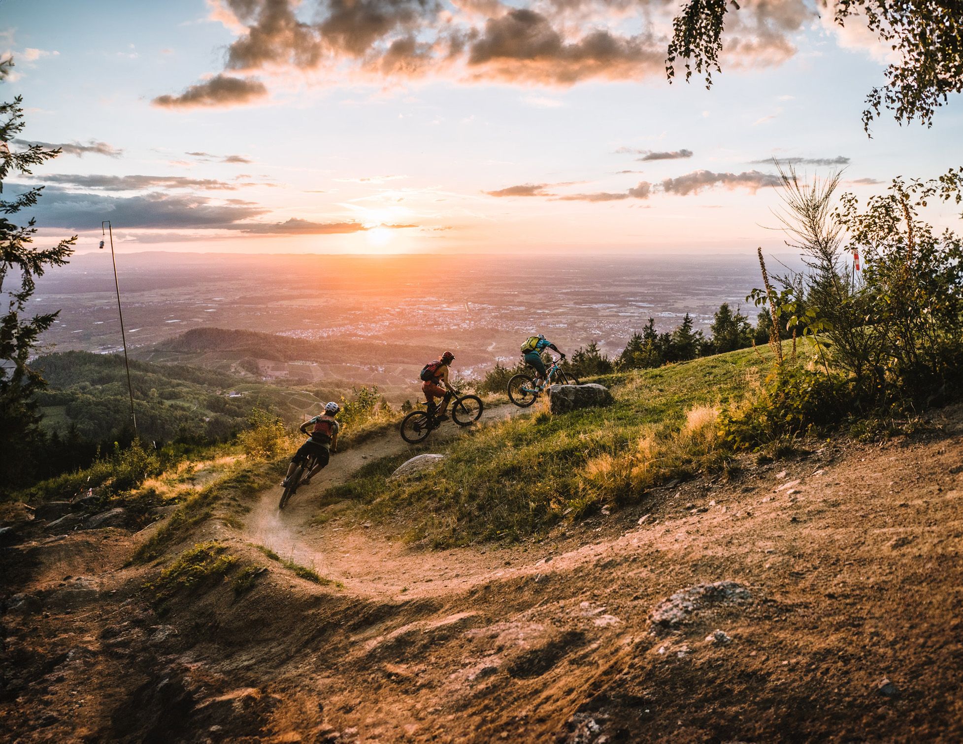
Discover the Black Forest on flowy trails

Discover premium and quality long-distance hiking in southern Germany
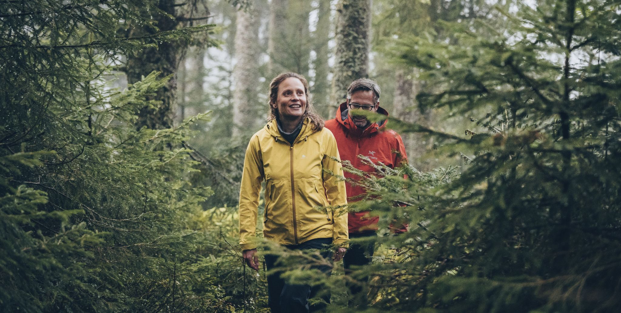
The Murgleiter – 5 days on the move in the northern Black Forest
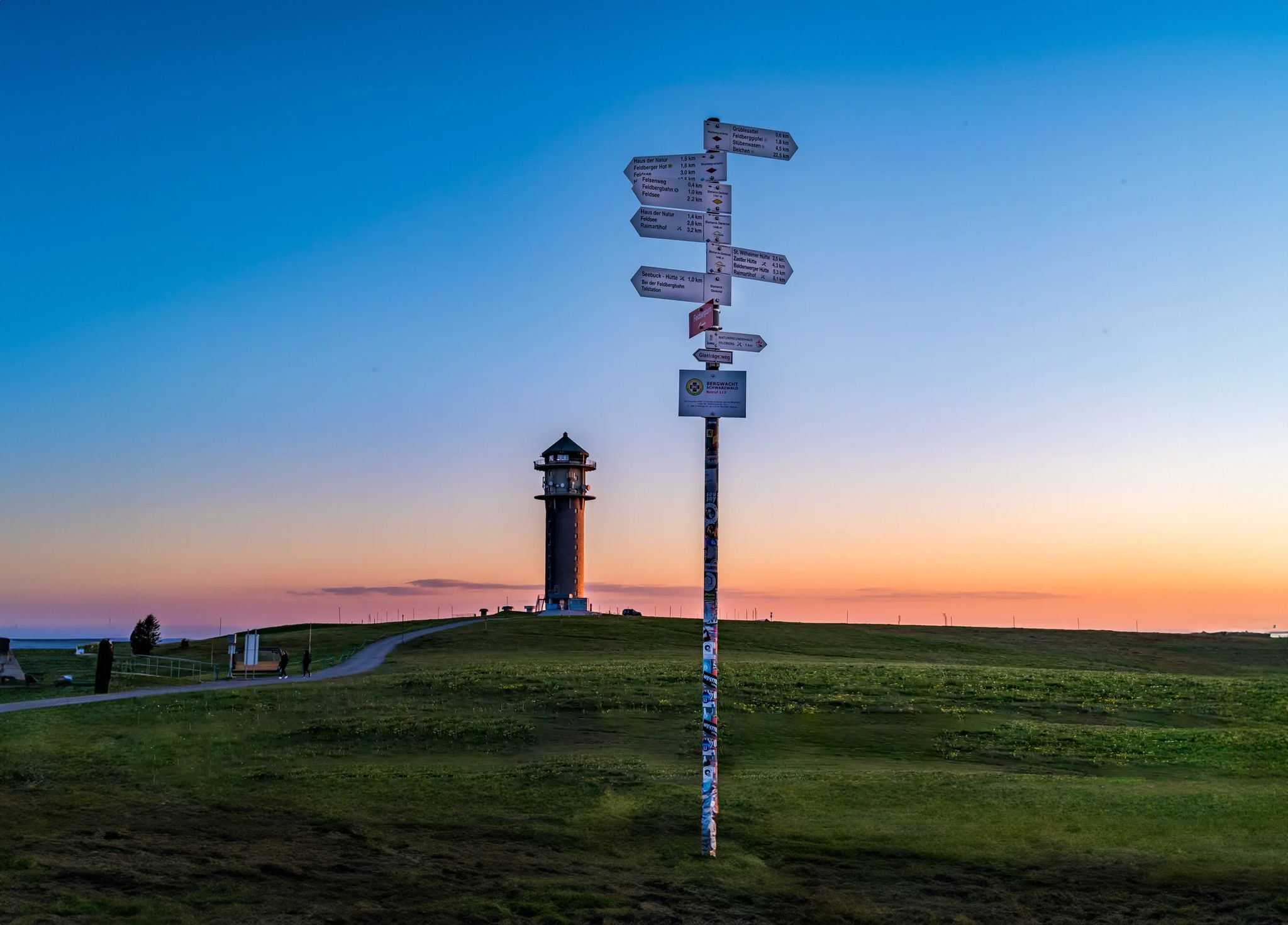
The most beautiful long-distance hiking trails in the Black Forest
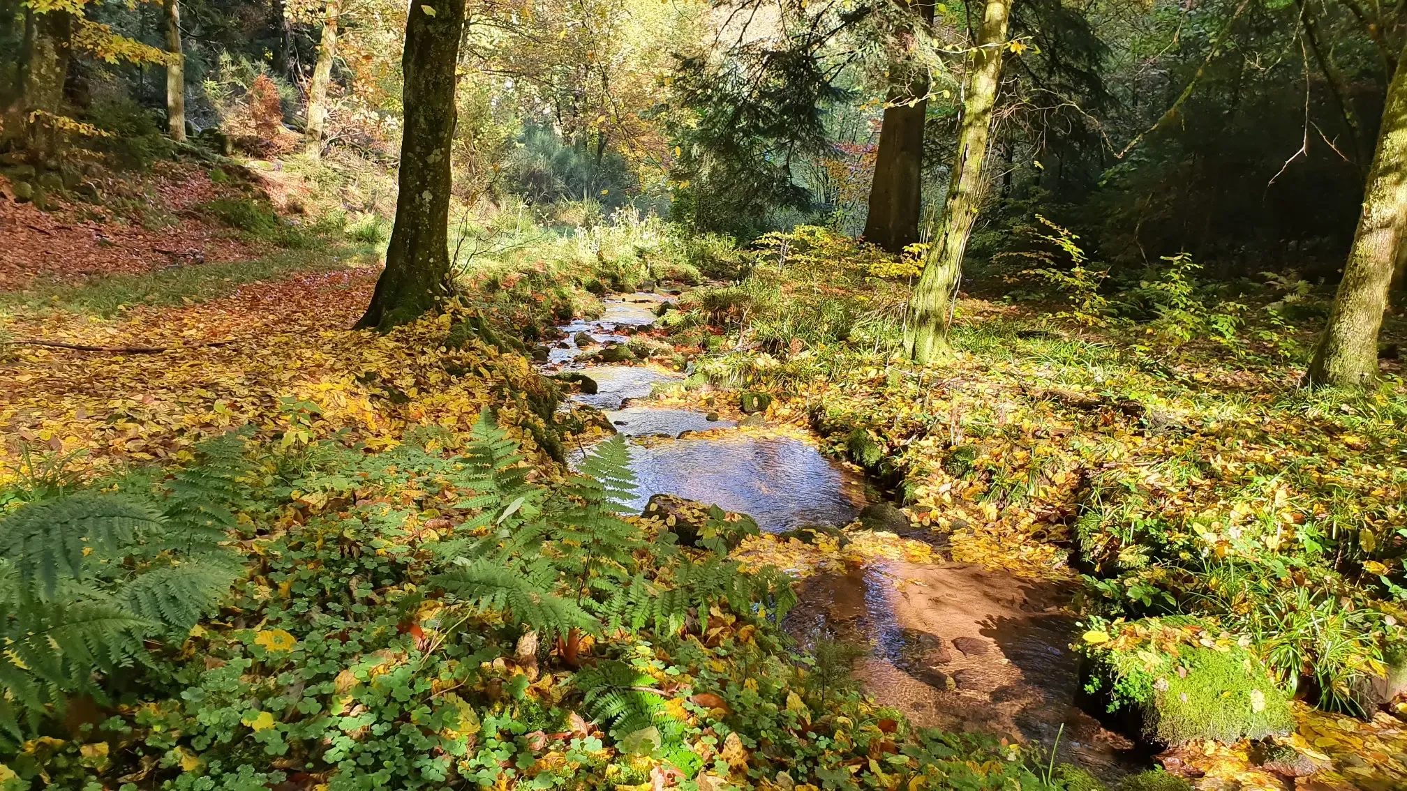
Wandern und warmes Wasser – Rundwege zu den Thermen Baden-Württembergs
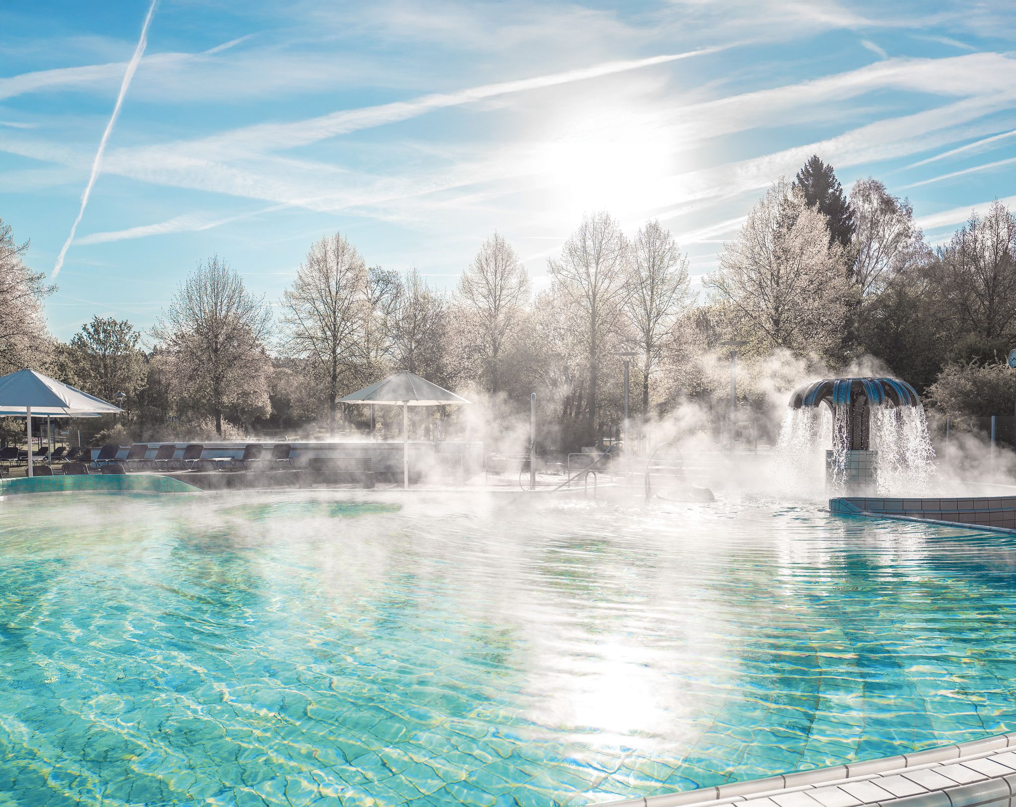
Naturgenuss & Badekultur – Wandern und Entspannen im Schwarzwald
Other adventures around Gaggenau


Tips from the Community

magnificent the view of Loffenau and the Murg Valley
0
0

At the spot where the mountain railway tunnels under the gravel road, you have beautiful views over Baden-Baden. A good place for a breather.
1
0

Beautiful view of Winkel, the small district of Bad Rotenfels, the many horse paddocks and the foothills of the Northern Black Forest in the background.
7
0
Beautiful view over the Murg to the old town and the surroundings.
4
0

Below this spot, an aircraft crashed on November 1, 1945, shortly after the end of the war. In the most severe air disaster ever to occur in our region, 26 American military personnel lost their lives. The aircraft was a Douglas C-47 (DC3) transport aircraft in its military version. It was put into service a year earlier and participated in "D-Day", the Normandy invasion, as a paratrooper transport. It had space for up to 32 people and was also known as a "raisin bomber" during the Berlin Airlift. On the day of the accident, 4 crew members and 26 U.S. Air Force soldiers were on board. They had been on vacation in London and were supposed to return to their units at the Oberschleißheim Air Force Base near Munich. Despite bad weather over the mainland, the 23-year-old pilot and his 22-year-old navigator decided to fly. Shortly after takeoff, the pilot had to climb above the cloud cover due to dense cloudiness and continue the flight using instruments. According to the navigator's calculations, a point near Augsburg should have been reached after 3 hours of flight, where the pilot could descend below the cloud cover and begin the approach using visual orientation. Due to strong headwinds, the calculated position was missed by more than 200 km. Consequently, the cloud cover was descended through north of Karlsruhe, and the navigator lost orientation. They followed the Rhine in a southwesterly direction until near Wintersdorf, a 90-degree correction was made to the original course towards Munich. The DC3 thus steered directly towards the 693-meter-high Bernstein. The pilot and navigator continued to try to determine the correct position from low altitude, which became increasingly difficult due to the approaching fog. Despite the dense fog, the silhouette of the aircraft was recognizable when flying over Michelbach. Around 4:30 PM, the aircraft crashed at an altitude of 620 meters, where it broke into several pieces and went up in flames after explosions. Many victims died because help arrived too late. That help arrived at all four hours after the accident is thanks to three survivors who, despite severe injuries, made their way to Sulzbach and Bernbach. Until now, only rumors had surrounded this event, and it eventually fell into oblivion.
5
0

Very beautiful view from the Merkur, located at 668 m altitude, into the Rhine plain, Vosges and Black Forest
0
0
Beautiful forest path through the Alb valley
6
0

There is also a beautiful circular hiking trail around the half-timbered village of Michelbach and places to stop for a break.
0
0
Frequently Asked Questions
How many gravel bike trails are available around Gaggenau?
There are over 45 gravel bike trails around Gaggenau, offering a wide range of experiences from moderate to difficult. The region's diverse terrain, including the Black Forest foothills and the Murg Valley, provides ample opportunities for exploration.
What kind of terrain can I expect on gravel bike trails near Gaggenau?
Gravel biking around Gaggenau features diverse terrain. You'll encounter picturesque valleys, lush forests, and the rolling hills of the Black Forest foothills. Trails range from forest paths to more challenging ascents, particularly along the Murg River and into the higher elevations of the Black Forest.
Are there any challenging gravel bike routes for experienced riders?
Yes, Gaggenau offers several challenging routes for experienced gravel bikers. For instance, the Wegscheid Hut – Schwarzenbach Dam loop from Gaggenau is a difficult 35.7-mile (57.5 km) trail with significant elevation gain through the Black Forest. Another demanding option is the Murgtal Gorge – Tour de Murg cycle path loop from Gaggenau, a 44.6-mile (71.8 km) path following the Murg River with varied terrain.
What are some scenic viewpoints or natural features to look out for on the trails?
The region around Gaggenau is rich in natural beauty. You can expect panoramic views from elevated points like Eichelberg. The Bernsteinfels nature preserve offers stunning scenery, and the Murg Valley itself provides picturesque stretches along the river. The Black Forest's dense woodlands and deeply incised terrain are a constant scenic backdrop.
Are there any historical landmarks or attractions near the gravel routes?
Yes, several historical landmarks and attractions are within reach. You might consider visiting the impressive ruined Old Hohenbaden Castle, which offers historical interest and a restaurant. Eberstein Castle is another cultural point of interest nearby. For natural curiosities, explore the Teufelskammern Sandstone Caves or the Historic Rock Cellars Above Frauenalb.
Can I find any waterfalls along the gravel bike trails?
While not directly on every gravel route, the beautiful Geroldsauer Waterfall, known for its vibrant moss and refreshing waters, is a picturesque spot in the region that could be incorporated into a cycling route or visited as a side trip.
Are there any loop trails for gravel biking in Gaggenau?
Many of the gravel routes around Gaggenau are designed as loops. For example, the Tannschach Hut – View of Bernbach loop from Gaggenau is a popular 18.3-mile (29.4 km) trail through dense forest paths. Another option is the View of the Rhine Plain – Waldbrechtstalweg Forest Path loop from Gaggenau.
What do other gravel bikers say about the trails in Gaggenau?
The gravel biking routes in Gaggenau are highly rated by the komoot community, with an average score of 4.4 stars from over 80 reviews. Many visitors praise the varied terrain, the beauty of the Black Forest, and the well-maintained paths that cater to different skill levels.
Are there any lakes or natural reserves accessible by gravel bike?
Yes, the region features several natural areas with lakes. You can find highlights like the Wildsee raised bog and the Great Hohloh Lake. The Federbachbruch Nature Reserve also offers natural beauty to explore.
What is the best time of year for gravel biking in Gaggenau?
The Black Forest region around Gaggenau is generally pleasant for gravel biking from spring through autumn. These seasons offer milder weather and lush landscapes. While some trails may be accessible in winter, conditions can vary, with snow and ice possible at higher elevations, so checking local weather is always recommended.
Are there any routes that offer views of the Rhine Plain?
Yes, some routes provide stunning views of the Rhine Plain. The View of the Rhine Plain – Waldbrechtstalweg Forest Path loop from Gaggenau is specifically designed to offer these panoramic vistas, combining forest paths with rewarding outlooks.
Can I find routes that are a good mix of forest paths and open views?
Absolutely. Many routes in Gaggenau combine the dense woodlands of the Black Forest with sections that open up to scenic views. For example, the Graf-Rhena-Weg Forest Path – Panoramic View of Bernbach loop from Gaggenau offers a blend of forest riding and panoramic views, providing a varied and engaging experience.
Most popular routes around Gaggenau
Most popular attractions around Gaggenau

Get inspired with the komoot mobile app


Explore more
Browse the best Gravel rides in other regions.
