The best gravel rides around Bietigheim
4.4
(82)
470
riders
85
rides
Gravel biking around Bietigheim offers diverse terrain through the Baden-Württemberg region, situated between the Enz and Neckar rivers. The landscape features a blend of picturesque vineyards, dense forests, and rolling hills, providing varied conditions for gravel bike routes. River valleys and the edge of the Stromberg Nature Park contribute to a network of trails suitable for different skill levels.
Best gravel bike trails around Bietigheim
- The most popular gravel bike trail is Flusskrebs Bridge – Bridge at the Old Federbach loop from Muggensturm Badesee, a 40.0 miles (64.5 km) trail that takes 1 hour 55 minutes to complete. This easy route follows river paths with minimal elevation gain.
- Another top favourite among local gravel bikers is Waldbrechtstalweg Forest Path – Walprechtstal loop from Malsch, a moderate 12.2 miles (19.7 km) path. This route leads through forest paths with a notable elevation gain of 1,216 feet (371 meters).
- Local gravel bikers also love the View from Merkur Mountain – Old Hohenbaden Castle loop from Muggensturm, a 31.1 miles (50.0 km) trail leading through varied terrain with significant climbs, often completed in about 3 hours 48 minutes.
- Gravel biking around Bietigheim is defined by river valleys, extensive vineyards, and dense forests, with routes offering panoramic views and challenging ascents. The network provides options for different ability levels, from easy riverside paths to more demanding climbs.
- The routes in Bietigheim are highly rated by the komoot community with an average score of 4.5 stars from over 120 reviews. More than 700 gravel bikers have used komoot to explore Bietigheim's varied terrain.
Last updated: July 9, 2026
4.4
(5)
26
riders
Moderate gravel ride. Good fitness required. Mostly paved surfaces. Suitable for all skill levels.
4.8
(10)
43
riders
Moderate gravel ride. Good fitness required. Mostly paved surfaces. Suitable for all skill levels.

Sign up for free
4.0
(1)
9
riders
Easy gravel ride. Great for any fitness level. Mostly paved surfaces. Suitable for all skill levels.
4.0
(2)
11
riders
Easy gravel ride. Great for any fitness level. Mostly paved surfaces. Suitable for all skill levels.
3.7
(3)
12
riders
Moderate gravel ride. Good fitness required. Mostly paved surfaces. Suitable for all skill levels.
Get access to more routes and recommendations from other explorers.
Sign up for free
Already have an account?
Our route recommendations are based on thousands of hikes, rides, and runs completed by other people on komoot.
Start today with a free account
Your next adventure awaits.
Login or Signup
Tips from the Community

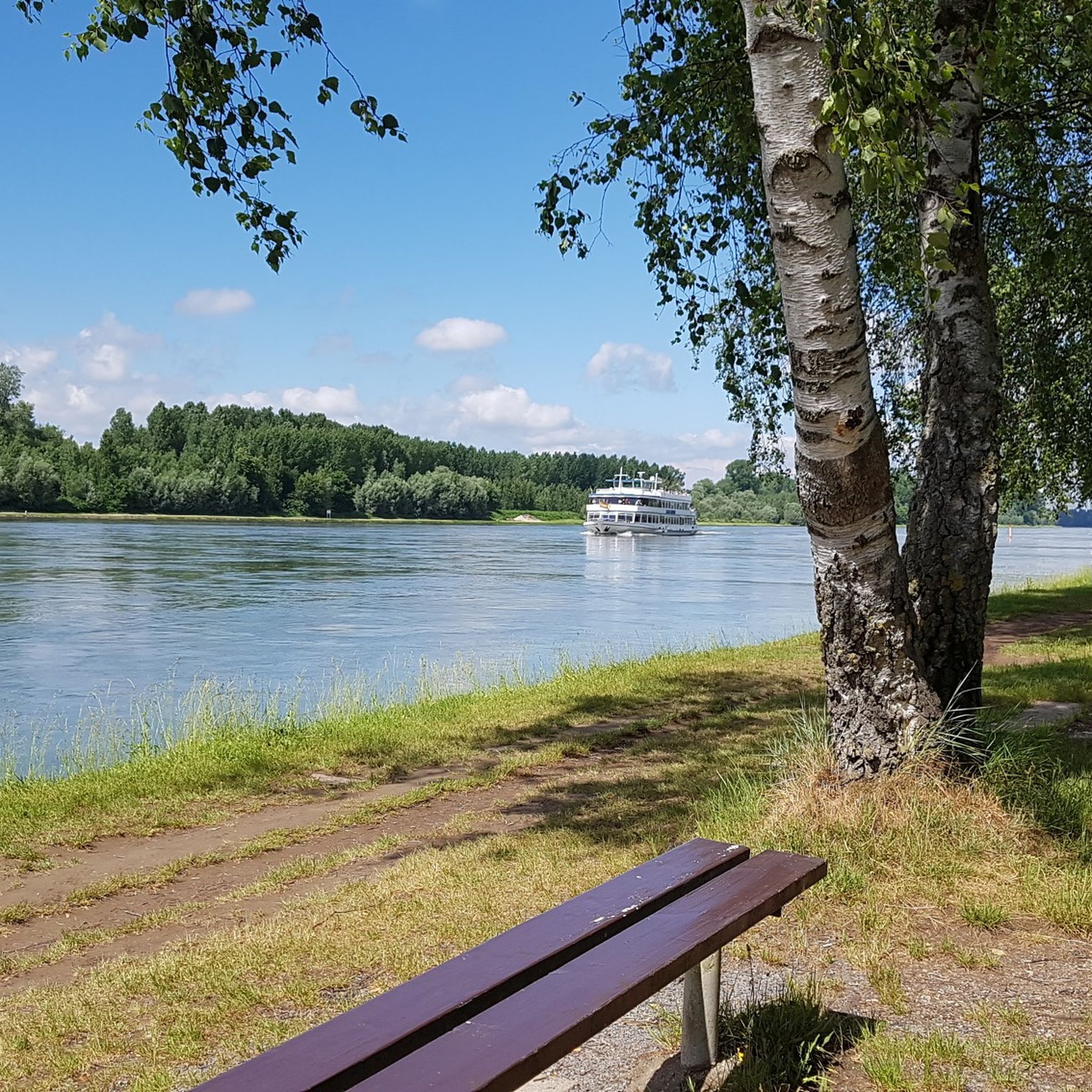
The Altrhein near Plittersdorf is a former arm of the Rhine, which was separated from the main current by the Rhine regulation in the 19th century (also called Rhine straightening). Today, the Altrhein is a calm, mostly slow-flowing or stagnant body of water in the Rhine floodplain near Plittersdorf. It is surrounded by floodplain forests, meadows, and small bodies of water. This natural landscape offers many animal and plant species an important habitat, for example birds such as herons and swans, as well as various fish species. In the past, the Rhine flowed directly past Plittersdorf and often led to floods. The course of the river was changed by the straightening, and the Altrhein was preserved as a "remnant" of the old Rhine. Today, it has above all ecological significance and also serves as a recreational area for people.
0
0

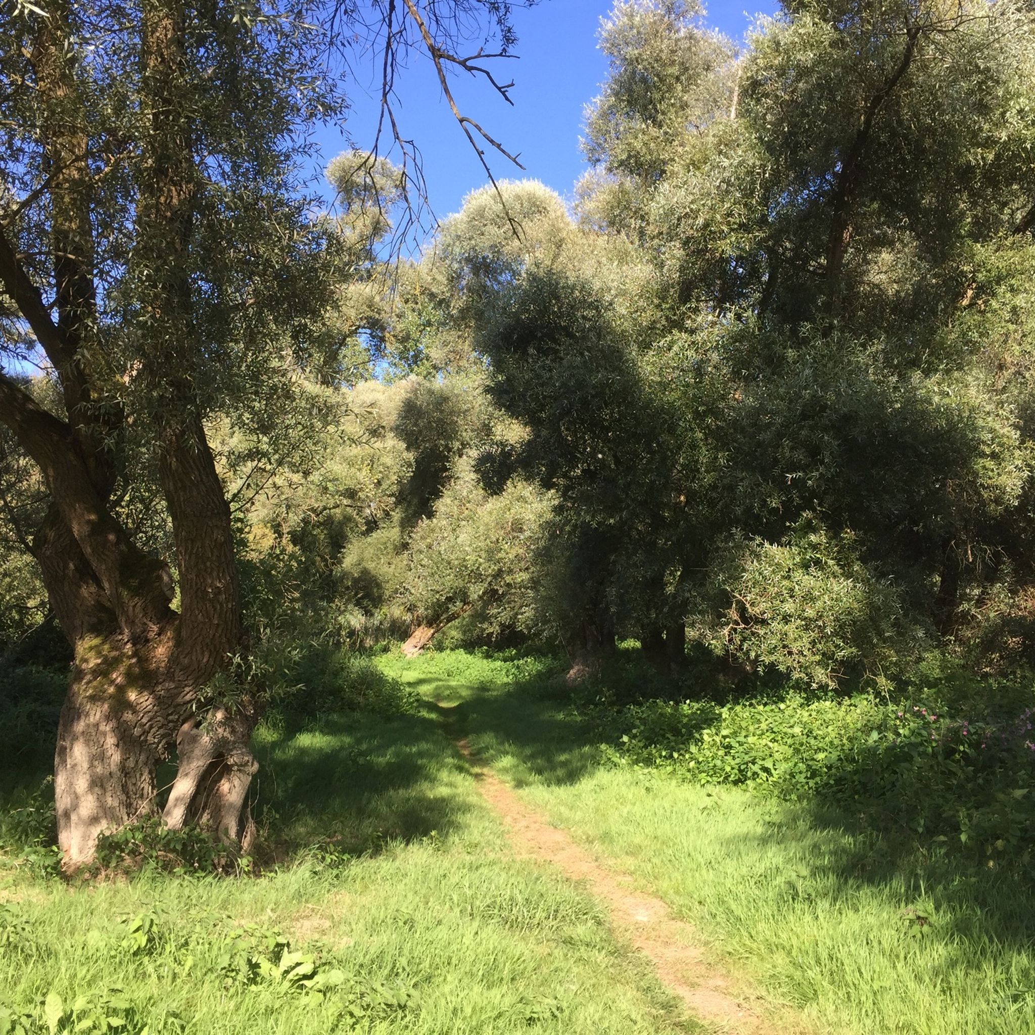
Large arm of the Old Rhine in the NSG Auer Köpfle. Very idyllic.
5
0
Small bathing lake with a pebble beach in the middle of the Rhine meadows. There is even a small bathing island in the water.
6
0

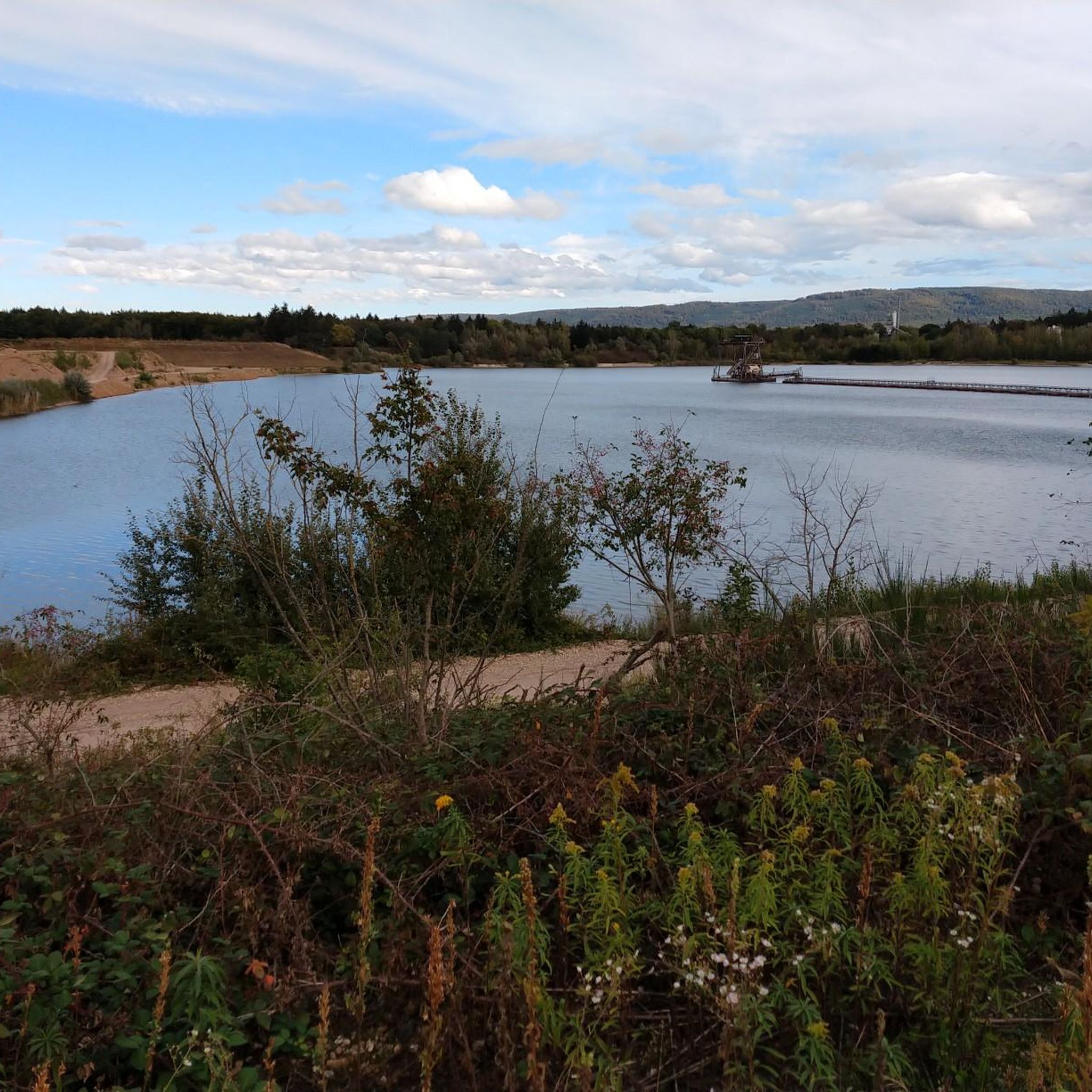
View of Rimmelsbacher Hof and Mahlberg
0
0
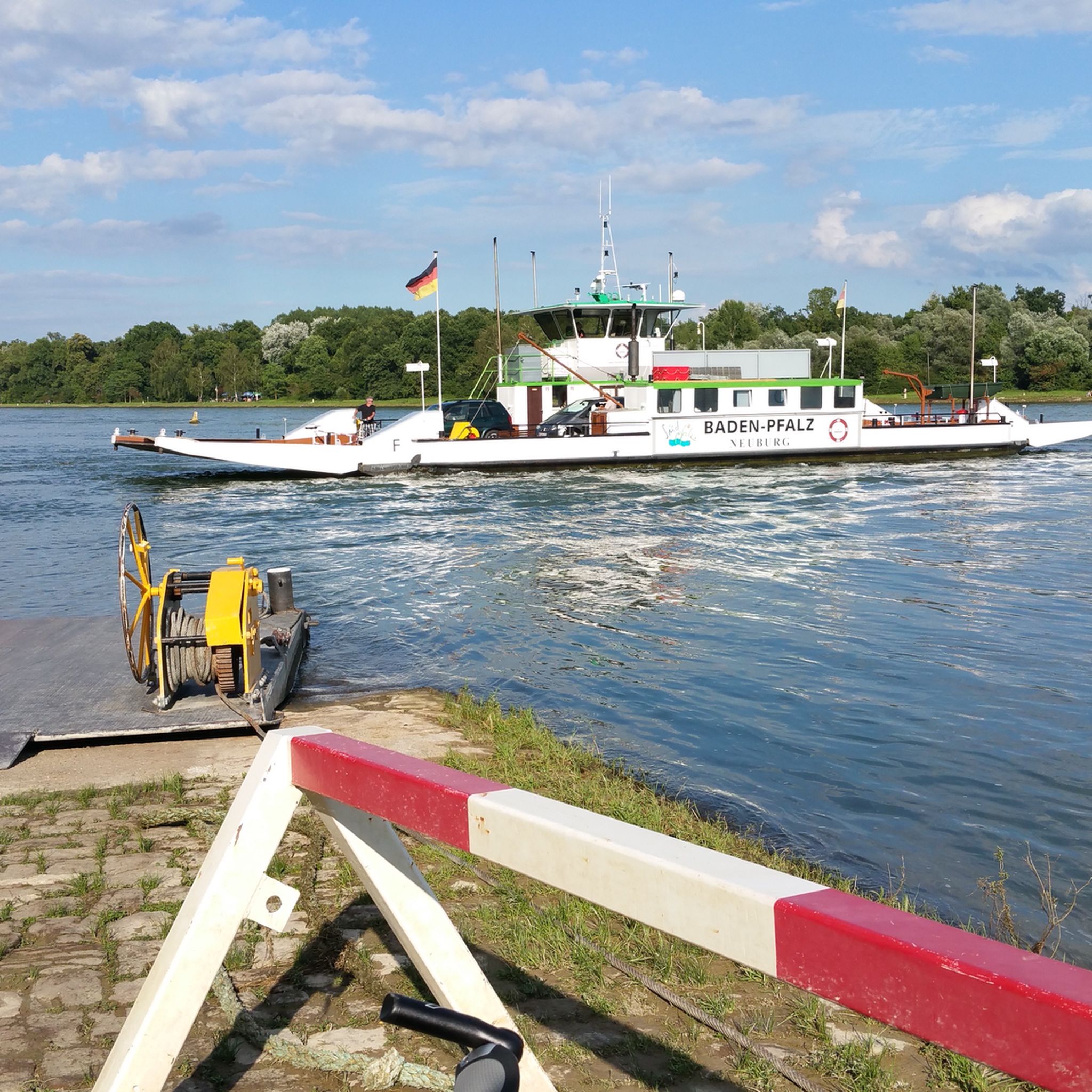
A museum ship that was still in operation until 1989. A great photo opportunity. And of course, there are information panels about the history of eel fishing on the Rhine.
6
0

Above the Rimmelsbacher Hof
0
0
Carl - Schöpf Hut...above the Rimmelsbacher Hof.
0
0

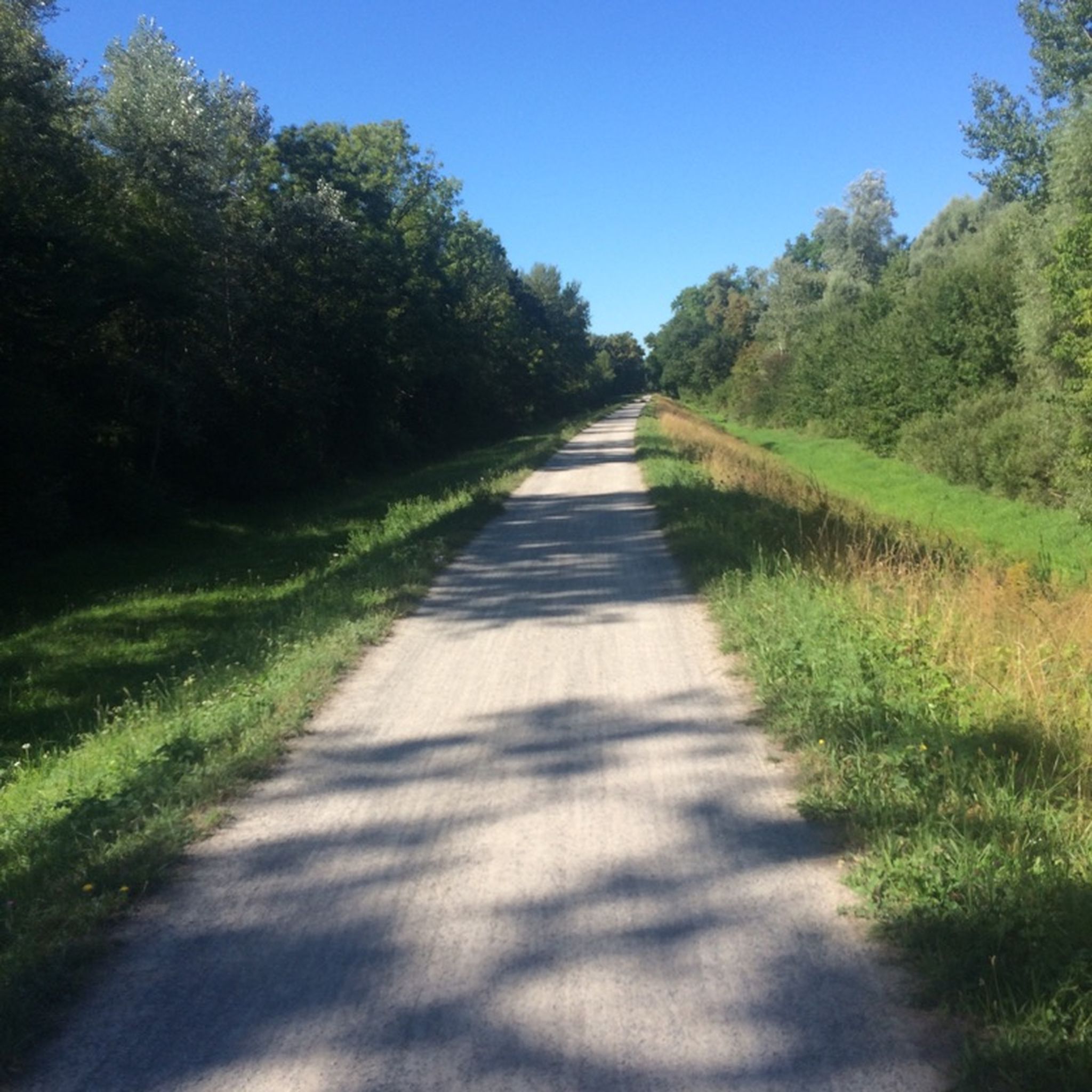
Beautiful area, well-developed cycle path.
1
0
Frequently Asked Questions
How many gravel bike trails are available around Bietigheim?
There are over 170 gravel bike trails around Bietigheim, offering a wide range of options for different skill levels and preferences. The komoot community has rated these routes highly, with an average score of 4.5 stars.
What kind of terrain can I expect on gravel bike routes near Bietigheim?
Gravel biking around Bietigheim features diverse terrain, including picturesque vineyards, dense forests, and rolling hills. You'll find routes traversing idyllic river valleys like the Enz and Neckar, as well as paths on the edge of the Stromberg Nature Park. The region offers a mix of gravel roads, cycling paths, and some challenging ascents, particularly in the broader Kraichgau-Stromberg region, known as the 'land of 1000 hills'.
Are there any easy gravel routes suitable for beginners or families?
Yes, Bietigheim offers several easy gravel routes. For instance, the Flusskrebs Bridge – Bridge at the Old Federbach loop from Muggensturm Badesee is an easy 40-mile trail that follows river paths with minimal elevation gain, making it suitable for a relaxed ride. There are 36 easy routes in total, many of which follow the river valleys.
What are some notable natural features or landmarks I can see along the gravel trails?
Many gravel routes offer stunning natural sights. You can explore the rugged Hessigheim Rock Gardens (Felsengärten) above the Neckar River, a significant geological feature and natural reserve. The region is also known for its extensive vineyards, which provide scenic backdrops. Additionally, you might encounter highlights such as the Malsch Viewpoint, offering panoramic vistas.
Are there any circular gravel bike routes in the Bietigheim area?
Yes, many of the gravel routes around Bietigheim are designed as loops, allowing you to start and end at the same point. For example, the Waldbrechtstalweg Forest Path – Walprechtstal loop from Malsch is a moderate 12.2-mile circular path that takes you through forest trails.
What do other gravel bikers enjoy most about riding in Bietigheim?
The komoot community highly rates the gravel biking experience in Bietigheim, with an average score of 4.5 stars from over 120 reviews. Riders often praise the varied terrain, the scenic beauty of the river valleys and vineyards, and the well-maintained network of paths that cater to different skill levels. The combination of natural landscapes and challenging ascents is frequently highlighted.
Are there any routes that offer significant climbs for more advanced riders?
Absolutely. For riders seeking more challenging ascents, routes like the View from Merkur Mountain – Old Hohenbaden Castle loop from Muggensturm offer significant climbs, with an elevation gain of nearly 700 meters over 50 kilometers. The region's rolling hills and the edge of the Stromberg Nature Park provide plenty of opportunities for demanding rides.
Can I find places to eat or drink near the gravel trails?
While specific cafes and pubs are not listed for every trail, the region's popularity for cycling means you'll often find opportunities for refreshments in towns and villages along the routes. The 'Gravel Enjoyment Tour: Kramer's Beer Garden Besigheim' mentioned in regional research suggests that beer gardens and eateries are part of the local cycling culture.
What is the best time of year for gravel biking in Bietigheim?
The diverse landscape of Bietigheim makes it suitable for gravel biking across multiple seasons. Spring and autumn offer pleasant temperatures and vibrant scenery, with vineyards changing colors. Summer is also great, especially for rides along the cooler river valleys. While winter riding is possible, it's advisable to check weather conditions for potential snow or ice, especially on higher elevation paths.
Are there any routes that pass by historical sites or interesting towns?
Yes, the region is rich in history and charming towns. While not directly in Bietigheim, the broader area includes attractions like the Maulbronn Monastery (a UNESCO World Heritage Site) which can be incorporated into longer tours. Closer to Bietigheim, you might find routes that pass through or near historical settlements. For example, the Gernsbach Old Town – View of Gernsbach's Old Town loop from Ötigheim offers views of a historic town.
Are there any long-distance gravel routes or bikepacking options?
The Bietigheim area connects to longer bikepacking routes, particularly within the 'Land der 1000 Hügel' (Kraichgau-Stromberg region). These include multi-day options, such as routes from Karlsruhe to Heilbronn, allowing for extended gravel adventures through varied landscapes and vineyards.
What are the options for parking when accessing gravel trails in Bietigheim?
Bietigheim-Bissingen has a well-developed network of cycling paths, and as a popular outdoor destination, you can generally find parking options in and around the town centers or at designated trailheads. Many routes start from accessible locations, making it convenient to park and begin your ride.
Most popular routes around Bietigheim
Most popular attractions around Bietigheim

Get inspired with the komoot mobile app


Explore more
Browse the best Gravel rides in other regions.
