The best gravel rides around Altensteig
4.6
(40)
242
riders
67
rides
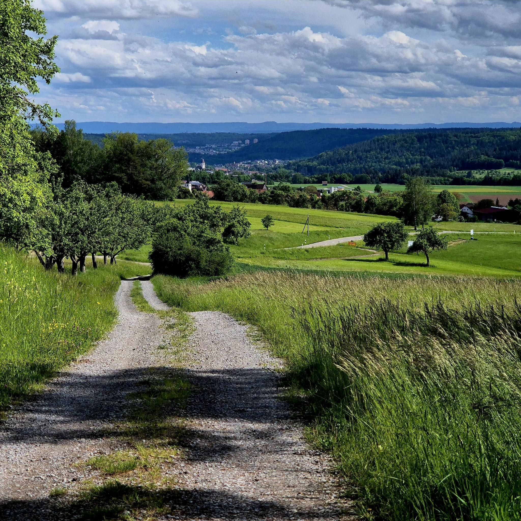
Gravel biking around Altensteig features routes through the Northern Black Forest region, characterized by river valleys and forested hills. The terrain includes varied surfaces suitable for gravel bikes, often following waterways like the Nagold and Zinsbach. Elevation changes are present, with some trails offering significant climbs and descents. The landscape provides a mix of natural environments and established cycle paths.
Best gravel bike trails around Altensteig
- The most popular gravel bike trail is Nagoldtalsperre Erzgrube – Nagold Dam loop from…
Last updated: July 2, 2026
4.0
(1)
9
riders
49.0km
03:27
680m
680m
Hard gravel ride. Very good fitness required. Mostly paved surfaces. Suitable for all skill levels.
5.0
(2)
21
riders
107km
06:09
1,230m
1,230m
Hard gravel ride. Very good fitness required. You may need to push your bike for some segments of this route.

Sign up for free
3.0
(1)
6
riders
36.2km
02:44
640m
640m
Hard gravel ride. Very good fitness required. Mostly paved surfaces. Suitable for all skill levels.
4.0
(2)
5
riders
40.1km
02:32
470m
470m
Hard gravel ride. Very good fitness required. Mostly paved surfaces. Suitable for all skill levels.
4.0
(1)
6
riders
58.8km
03:34
800m
800m
Hard gravel ride. Very good fitness required. Mostly paved surfaces. Suitable for all skill levels.
Get access to more routes and recommendations from other explorers.
Sign up for free
Already have an account?
Our route recommendations are based on thousands of hikes, rides, and runs completed by other people on komoot.
Start today with a free account
Your next adventure awaits.
Login or Signup
Popular around Altensteig
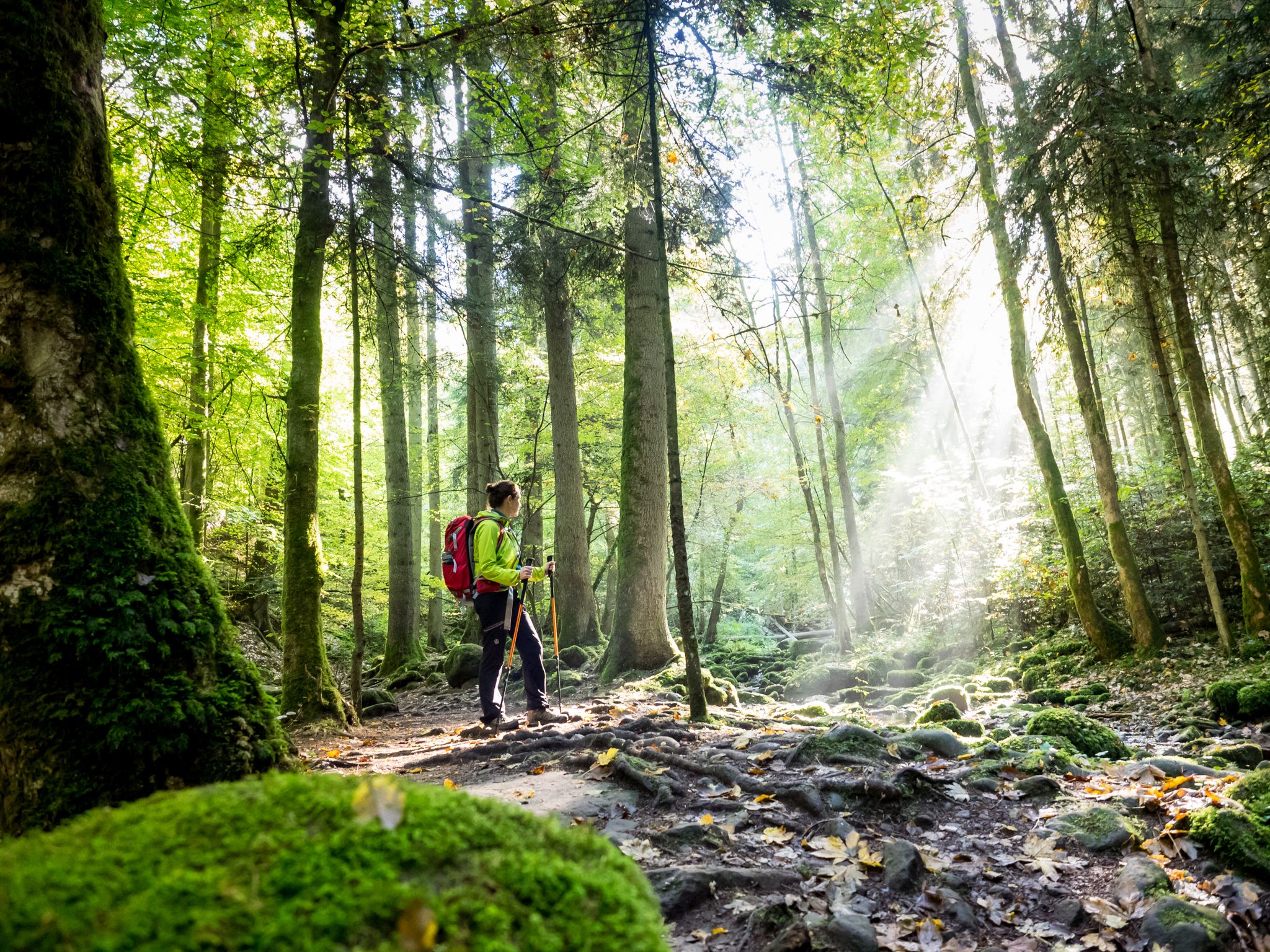
Far from the hustle and bustle – Hidden Trails in the Black Forest
bwegt-Wanderweg – travel in a climate-friendly way, experience more
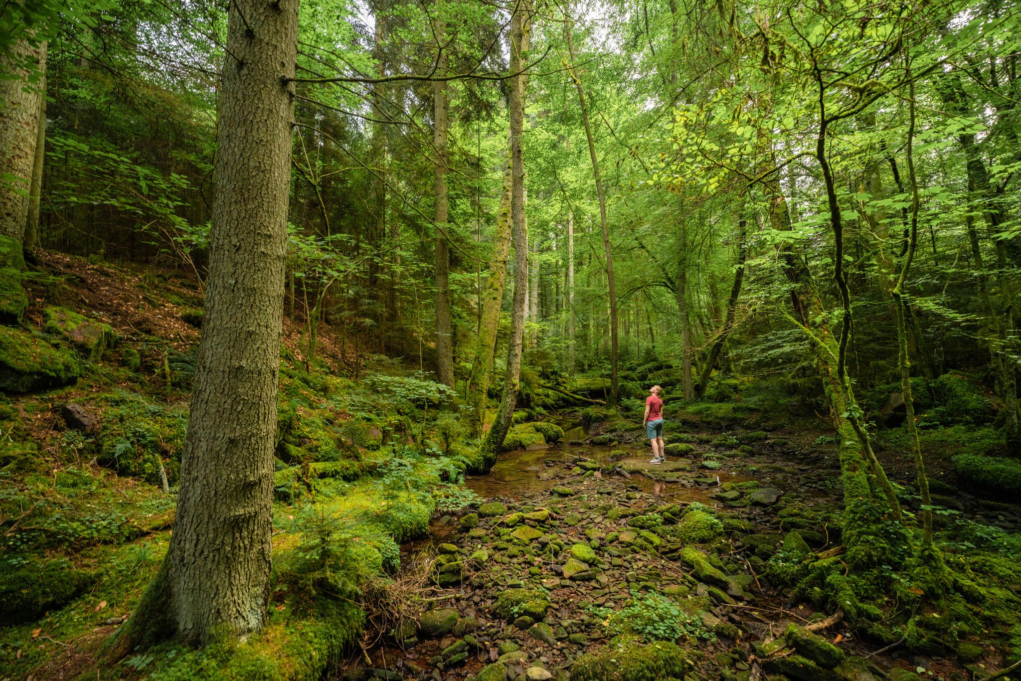
Superb adventures – the best hiking Tours in the Northern Black Forest
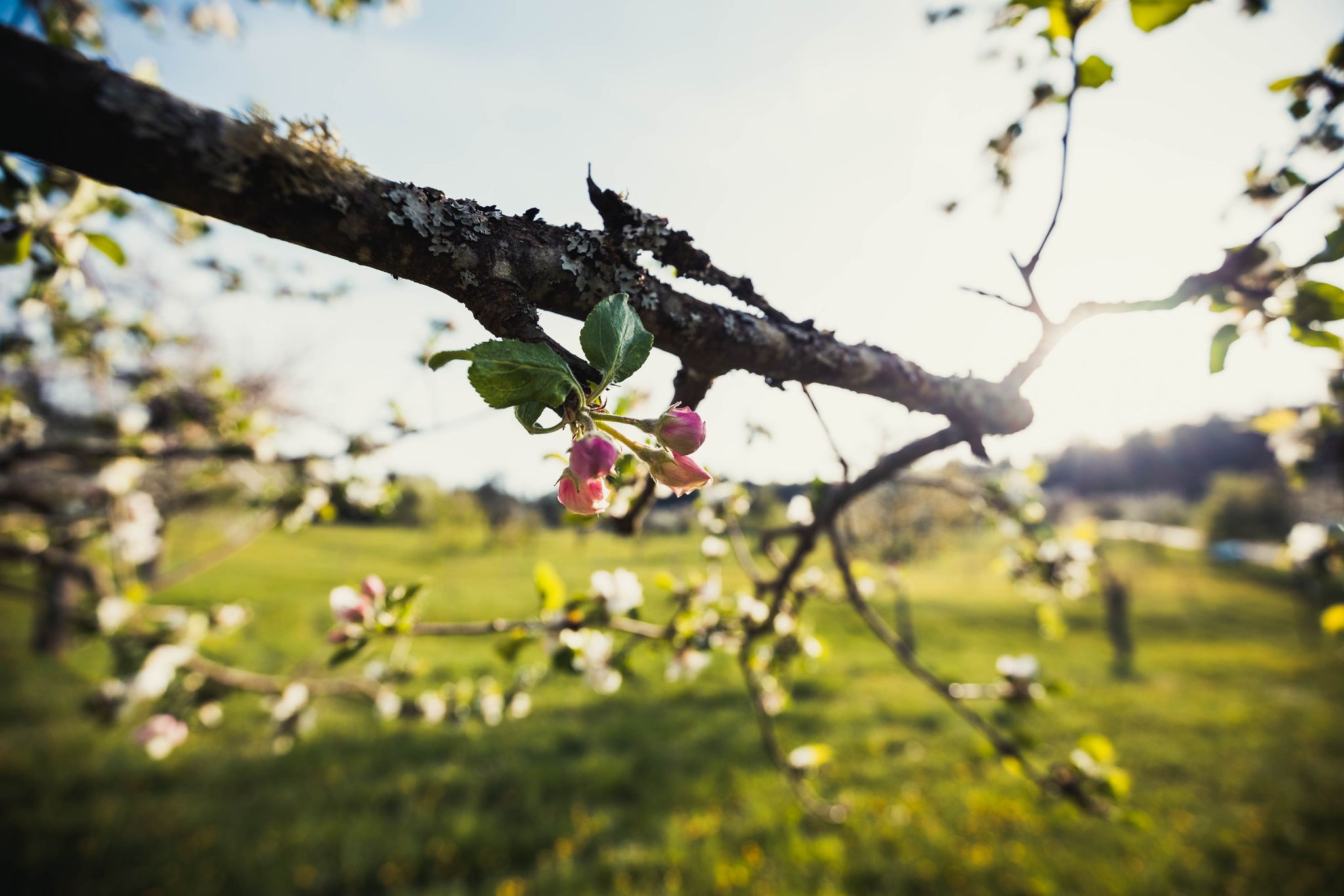
Frühlingsgefühle im Nordschwarzwald
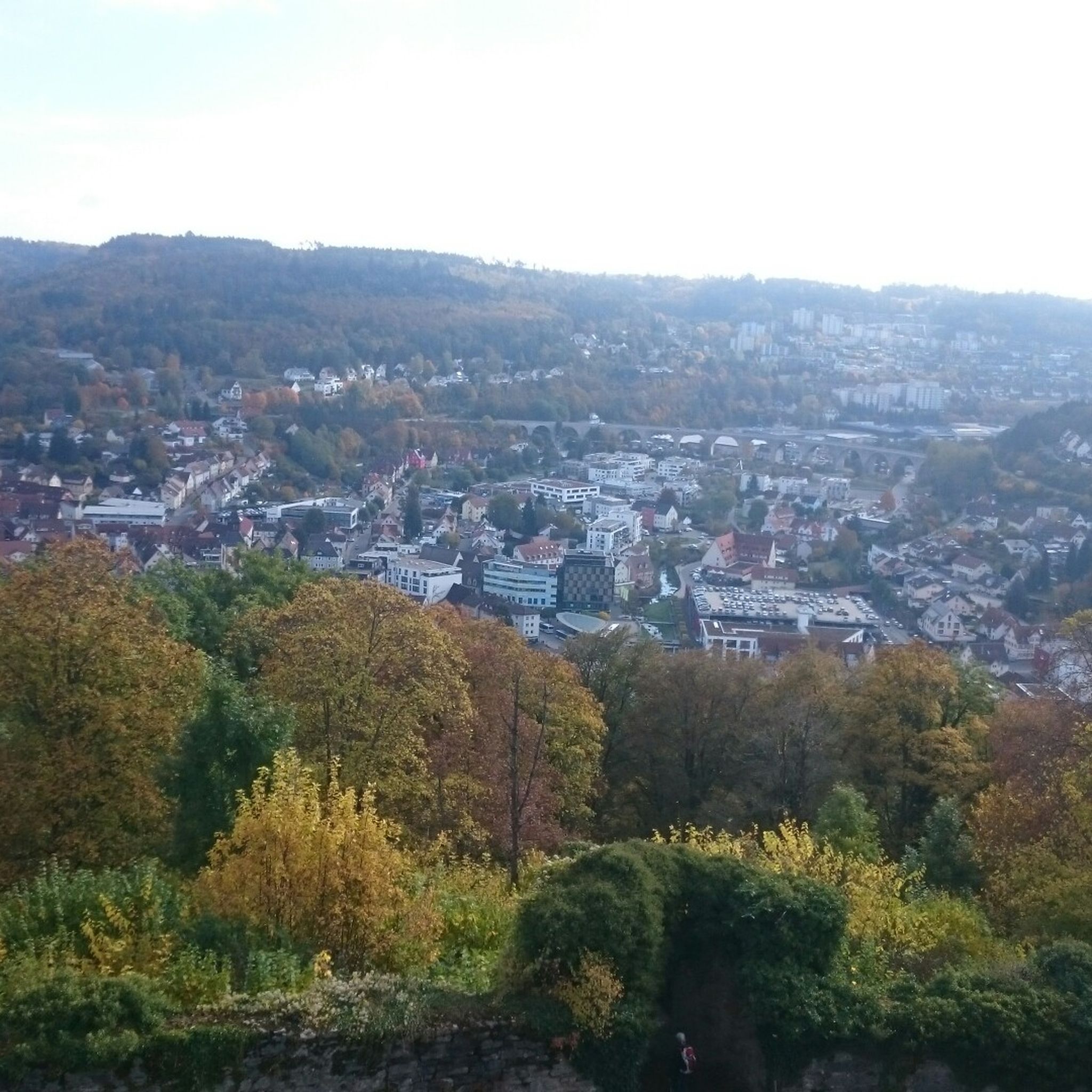
Hiking around Altensteig
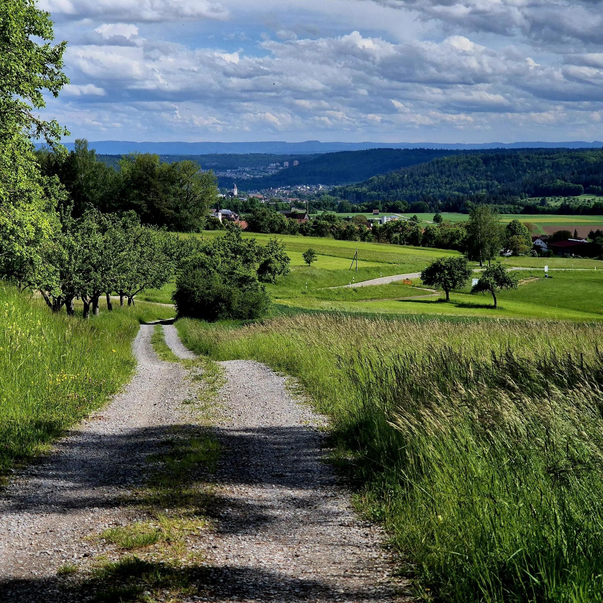
Cycling around Altensteig
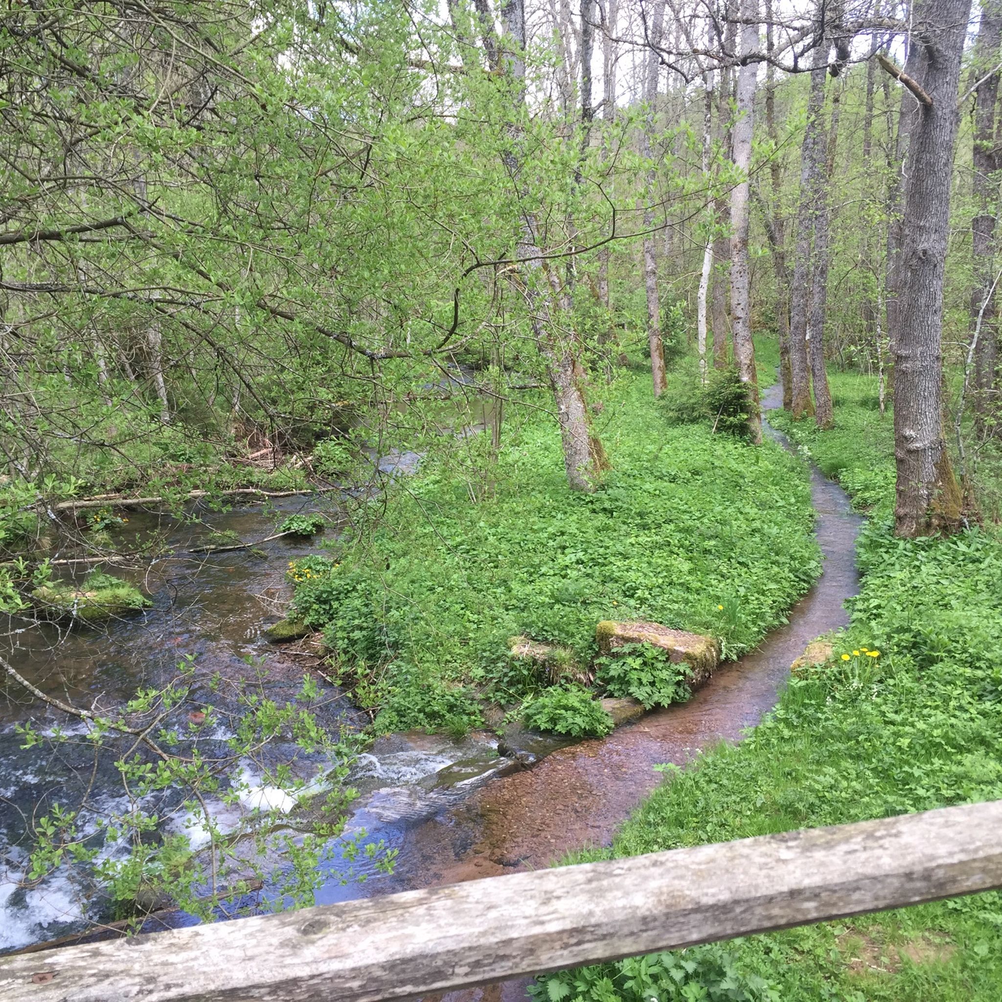
MTB Trails around Altensteig
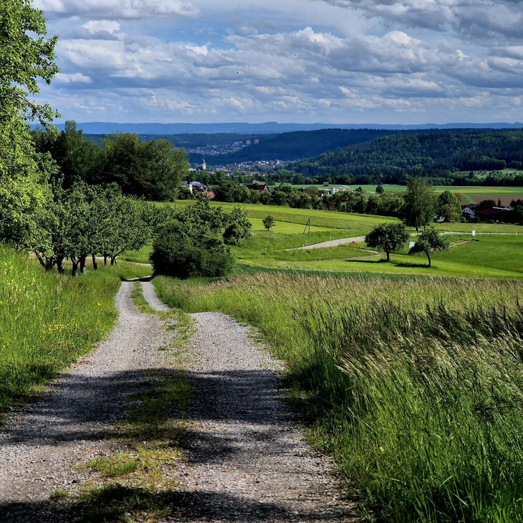
Road Cycling Routes around Altensteig
Running Trails around Altensteig

Mountain Hikes around Altensteig
Other adventures around Altensteig


Tips from the Community


The Zinsbachmühle is a historic, former grain mill in the idyllic Zinsbachtal in the Northern Black Forest, whose origin at the present location dates back to 1555.
2
0

Beautiful, well-paved stretch along the Nagold with a slight incline towards Nagold...
0
0

The Bösinger Wasserhäusle was a pumping station and was used to transport fresh spring water from a source in the Waldach valley via cast iron pipes to the village of Bösingen (a district of the municipality of Pfalzgrafenweiler), located 1.4 km away and 140 meters higher up. The pumps were driven by the water power of the Waldach. A water wheel with a diameter of six meters was used. The facility went into operation in 1894. In 1911, it was supplemented by an 8 hp gasoline engine, which could now also drive the pumps during low water levels in the Waldach. In 1948, it was connected to the power grid via a transformer station, after which a newly installed electric motor could serve as a backup drive. The Bösingen's own water supply was taken out of service in 1991 due to drinking water contamination. The entire facility, including the weir, the power channel, and the pumping station, has been protected as a cultural-historical monument since 2000. The pumping station can be visited all day on the Day of the Open Monument. Source: https://de.wikipedia.org/wiki/B%C3%B6singer_Wasserh%C3%A4usle
0
0
The Bösinger Wasserhäusle was a pumping station and served to transport fresh spring water from a source in the Waldach valley via cast iron pipes to the village of Bösingen (part of the municipality of Pfalzgrafenweiler), 1.4 km away and 140 meters higher. The pumps were driven by the water power of the Waldach. A water wheel with a diameter of six meters was used. The facility went into operation in 1894. In 1911, it was supplemented by an 8 hp gasoline engine, which could now also drive the pumps during low water levels in the Waldach. In 1948, it was connected to the power grid via a transformer station, from which time a newly installed electric motor could serve as a backup drive. The Bösingen's own water supply was taken out of operation in 1991 due to drinking water contamination. The entire facility with its weir, power channel, and pumping station has been protected as a cultural-historical monument since 2000. The pumping station can be visited all day on the Day of the Open Monument. Source: https://de.wikipedia.org/wiki/B%C3%B6singer_Wasserh%C3%A4usle
0
0

Weir on the Waldach, 300-meter-long drive channel, iron, backward-acting water wheel with spur gear transmission, 6 meters in diameter (originally lined with wooden paddles), 3 meters of head in the drive channel, pump output: 3-5 HP depending on water inflow from the drive channel, double-acting plunger pump from Maschinenfabrik Esslingen from the year 1893 with a high-performance suction and delivery pump and pressure vessel. In 1991, the plant was shut down as a private water supply due to contaminated spring water. Depending on the water level of the Waldach, the pumping station managed to pump 160,000 liters of fresh spring water directly into the houses and into the water reservoir in Bösingen, 2.3 km away and 140 meters higher, in 8 to 14 hours. The spring yields 1-2 liters per second depending on the season.
0
0
Weir on the Waldach, 300-meter-long tailrace canal, iron overshot water wheel with spur gear transmission, 6 meters in diameter (originally with wooden paddles), 3-meter head, pump capacity: 3-5 HP depending on water inflow from the tailrace canal, double-acting plunger pump from Maschinenfabrik Esslingen from 1893 with a powerful suction and delivery pump and pressure vessel. In 1991, the plant was shut down due to contaminated spring water as a private water supply. The pump managed to pump 160,000 liters of fresh spring water directly into the houses and into the water reservoir in Bösingen, 2.3 km away and 140 meters higher, in 8 to 14 hours, depending on the water level of the Waldach. The spring yields 1-2 liters per second depending on the season.
0
0

The Enz Valley Cycle Path between Pfhm and Neuenbürg is always an experience with diverse impressions in every season.
0
0
Frequently Asked Questions
How many gravel bike trails are available around Altensteig?
There are over 120 gravel bike routes recorded in the Altensteig area on komoot. These routes cater to various skill levels, with a significant number offering challenging terrain.
Are there any easy or beginner-friendly gravel bike routes in Altensteig?
While many routes in Altensteig are moderate to difficult, there is at least one easy route available. For a moderate option that's shorter and less demanding, consider the Zinsbachtal Valley – Zinsbachtal Valley loop from Grömbach, which is about 19 km long with around 290 meters of elevation gain.
What are the typical distances and elevation gains for gravel routes in Altensteig?
Gravel routes in Altensteig vary significantly. You'll find shorter, moderate loops like the Zinsbachtal Valley loop at 19 km with 290m elevation. More challenging routes, such as the Nagoldtalsperre Erzgrube – Nagold Dam loop from Egenhausen, can be around 49 km with over 680m of climbing, while longer tours like the Nagold Valley Cycle Path – Nagold River Cycle Path loop from Wart can exceed 100 km with over 1200m of elevation.
Are there any family-friendly gravel biking options in the Altensteig region?
For families, it's best to look for routes with less elevation and smoother surfaces. The region's network includes paths along river valleys, which tend to be flatter. The Zinsbachtal Valley loop from Grömbach, being moderate and shorter, could be a suitable option for families with some biking experience.
What kind of terrain can I expect on gravel bike trails around Altensteig?
The terrain around Altensteig is characteristic of the northern Black Forest, featuring a mix of river valleys and forested hills. You can expect varied surfaces, including gravel paths, forest roads, and some paved sections, often following waterways like the Nagold and Zinsbach rivers. Elevation changes are common, with some routes offering significant climbs and descents.
What are some scenic viewpoints or natural attractions along the gravel routes?
Many routes offer views of the Black Forest landscape. You can find highlights like the Nagold Reservoir (Erzgrube) and the Nagold Dam Covered Bridge, which are often part of longer loops. The View of the Teinach Valley from Beilfelsen is another notable viewpoint in the wider area.
Are there any circular gravel bike routes in Altensteig?
Yes, many of the gravel bike routes in Altensteig are designed as loops. Examples include the Nagoldtalsperre Erzgrube – Nagold Dam loop from Egenhausen and the Zinsbachtal Valley – Zinsbachtal Valley loop from Grömbach, allowing you to start and finish at the same point.
What do other gravel bikers say about the trails in Altensteig?
The gravel biking routes in Altensteig are highly rated by the komoot community, with an average score of 4.4 stars from over 50 reviews. Riders often praise the varied terrain, the scenic beauty of the Black Forest, and the well-maintained paths along the river valleys.
What is the best time of year for gravel biking in Altensteig?
The Black Forest region is generally enjoyable for cycling from spring through autumn. Spring brings blooming nature, while autumn offers vibrant foliage. Summer is also popular, but be prepared for warmer temperatures. Winter conditions can include snow and ice, making some gravel paths less accessible or more challenging.
Are there any specific attractions or landmarks to visit near the gravel trails?
Beyond the natural beauty, you can explore historical sites and natural wonders. Highlights include the Historic Silver Mine Neubulach (Hella-Glück-Stollen) and various caves like the Cave below Beilfelsen. The Nagold Reservoir (Erzgrube) is also a significant landmark often incorporated into routes.
Are there options for advanced gravel bikers looking for a challenge?
Absolutely. Altensteig offers numerous challenging routes with significant elevation gains and longer distances. For instance, the Nagold Valley Cycle Path – Nagold River Cycle Path loop from Wart is over 100 km long with more than 1200 meters of climbing, providing a demanding experience for advanced riders.
Most popular routes around Altensteig
Most popular attractions around Altensteig

Get inspired with the komoot mobile app


Explore more
Browse the best Gravel rides in other regions.
