The best gravel rides around Andernach
4.1
(99)
461
riders
82
rides
Gravel biking around Andernach offers diverse terrain characterized by its location on the Rhine river and proximity to the volcanic Eifel region. The landscape features rolling hills, dense forest trails, and views of the Neuwied Basin and Laacher See, a volcanic caldera lake. This area provides varied surfaces suitable for gravel bikes, ranging from compacted earth paths to gravel roads. The region's topography includes moderate ascents and descents, making it suitable for different skill levels.
Best gravel bike trails around…
Last updated: October 20, 2026
4.8
(12)
44
riders
45.4km
02:44
600m
600m
Hard gravel ride. Very good fitness required. Mostly paved surfaces. Suitable for all skill levels.
4.5
(2)
5
riders
Moderate gravel ride. Good fitness required. Mostly paved surfaces. Suitable for all skill levels.

4.3
(3)
17
riders
48.7km
03:17
570m
570m
Hard gravel ride. Very good fitness required. Mostly paved surfaces. Suitable for all skill levels.
14
riders
37.4km
02:33
490m
490m
Hard gravel ride. Very good fitness required. Mostly paved surfaces. Suitable for all skill levels.
4.3
(3)
11
riders
28.8km
01:48
420m
420m
Hard gravel ride. Good fitness required. You may need to push your bike for some segments of this route.
Get access to more routes and recommendations from other explorers.
Already have an account?
Our route recommendations are based on thousands of hikes, rides, and runs completed by other people on komoot.
Start today with a free account
Your next adventure awaits.
Popular around Andernach
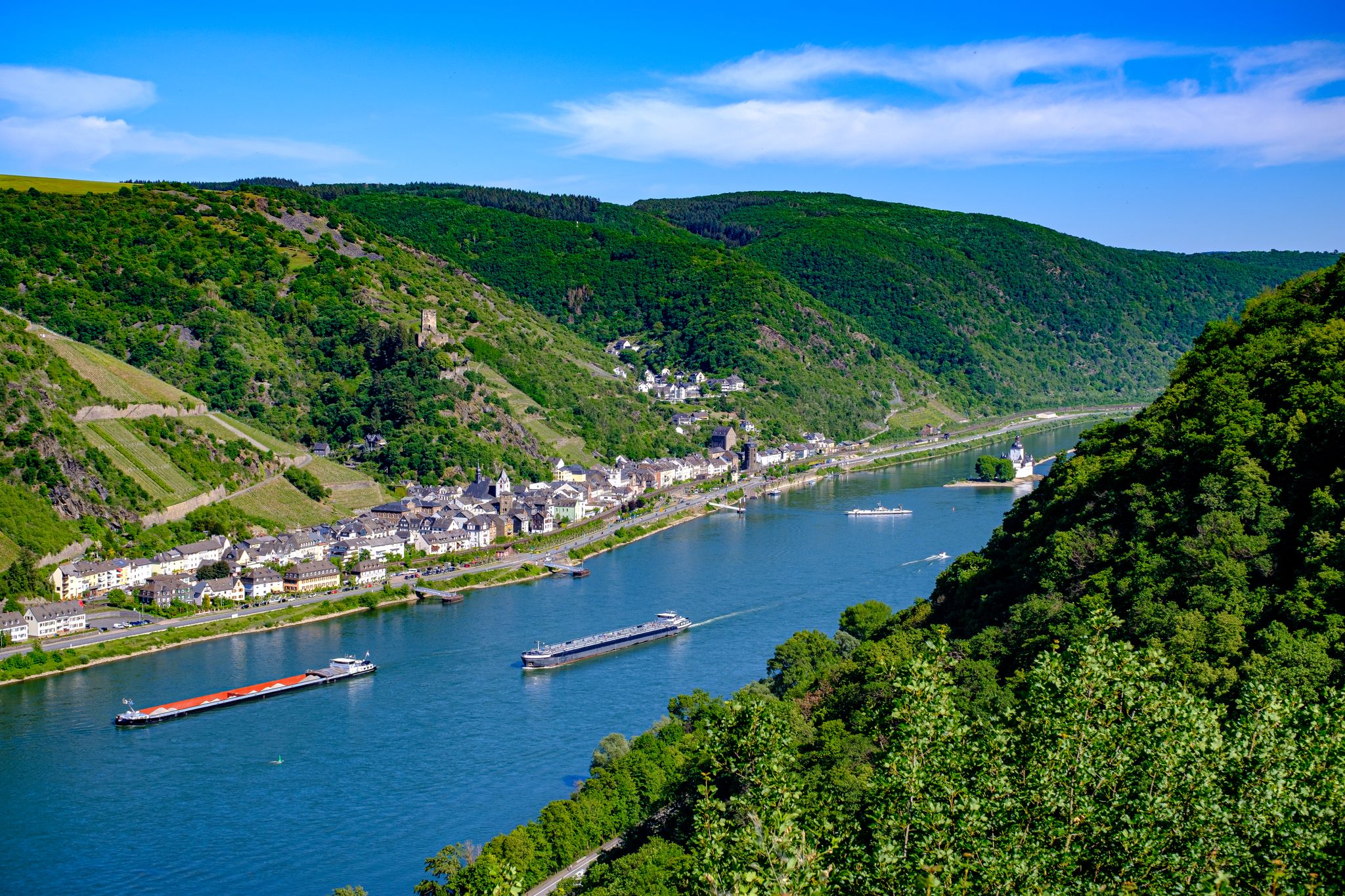
The Rhine Castle Trail – 13 stages of pure Rhine romanticism

Dream Trails in the Rhine-Mosel-Eifel Region – Small Trails, Great Nature
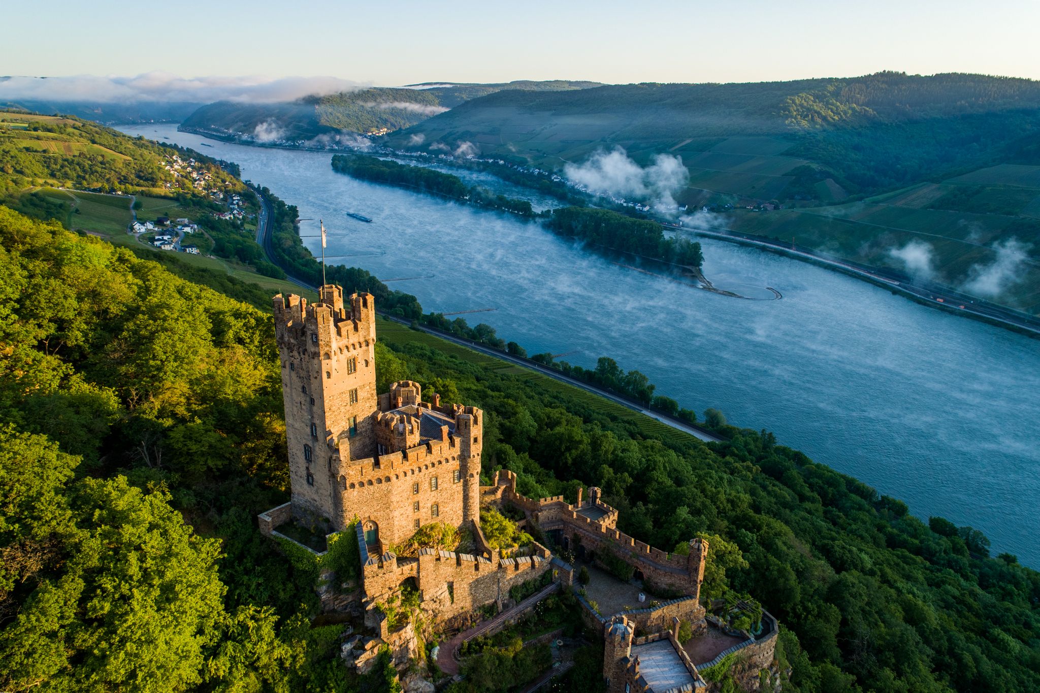
Stunningly beautiful – hiking on the RheinBurgenWeg
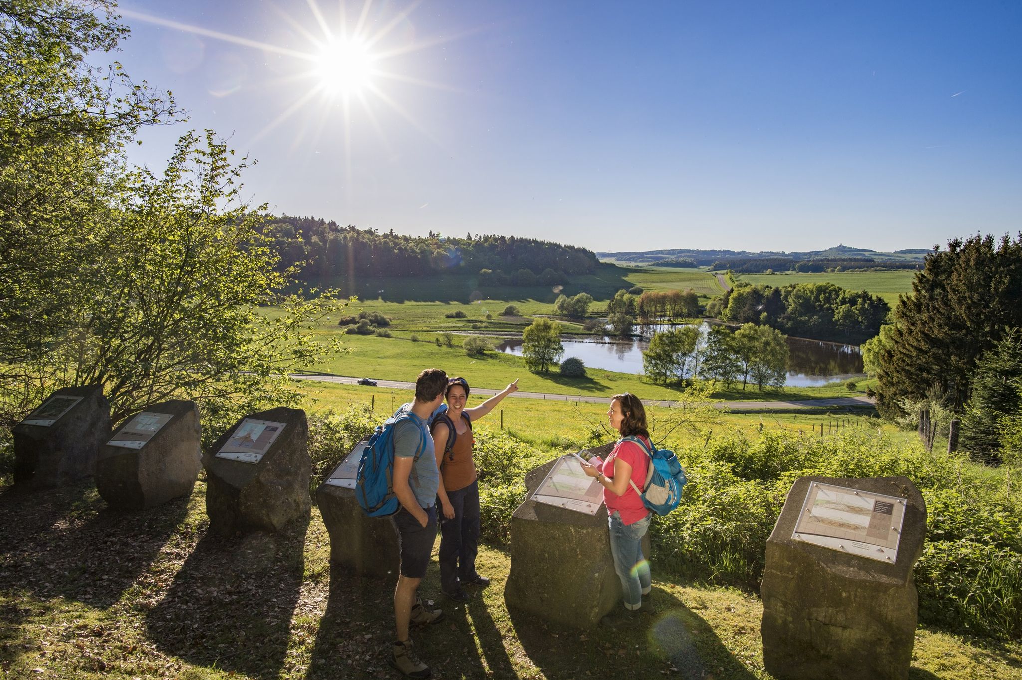
Traumpfade – dreamy, varied hiking trails in Rhein-Mosel-Eifel-Land
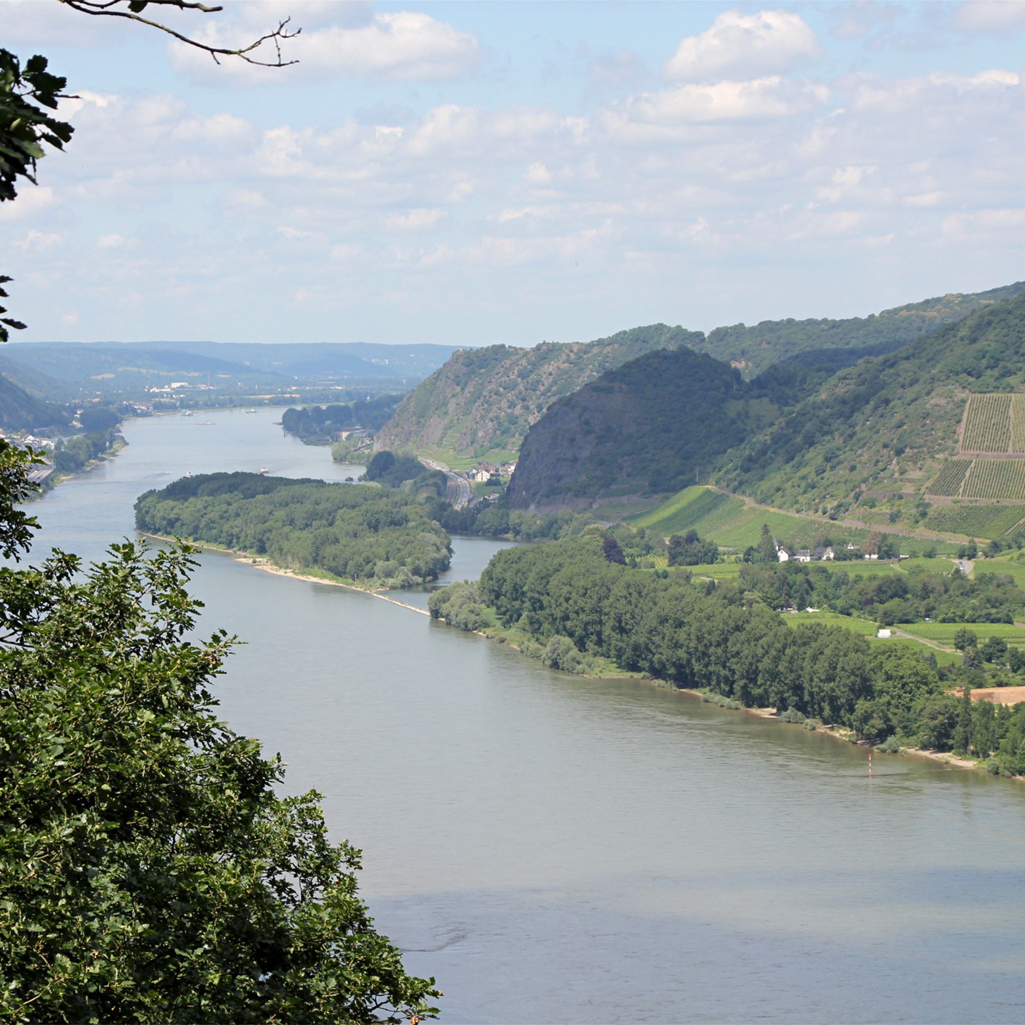
Hiking around Andernach
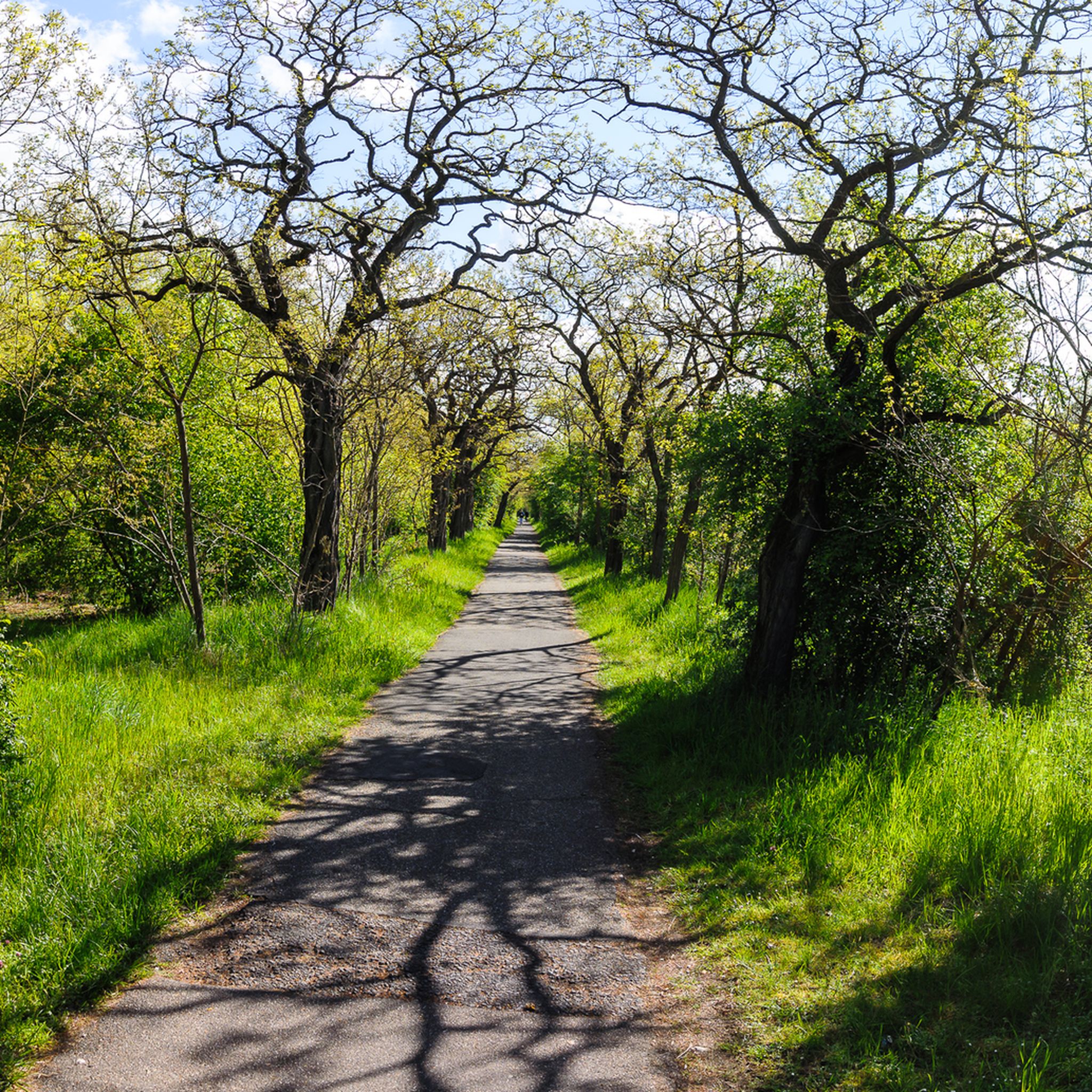
Cycling around Andernach
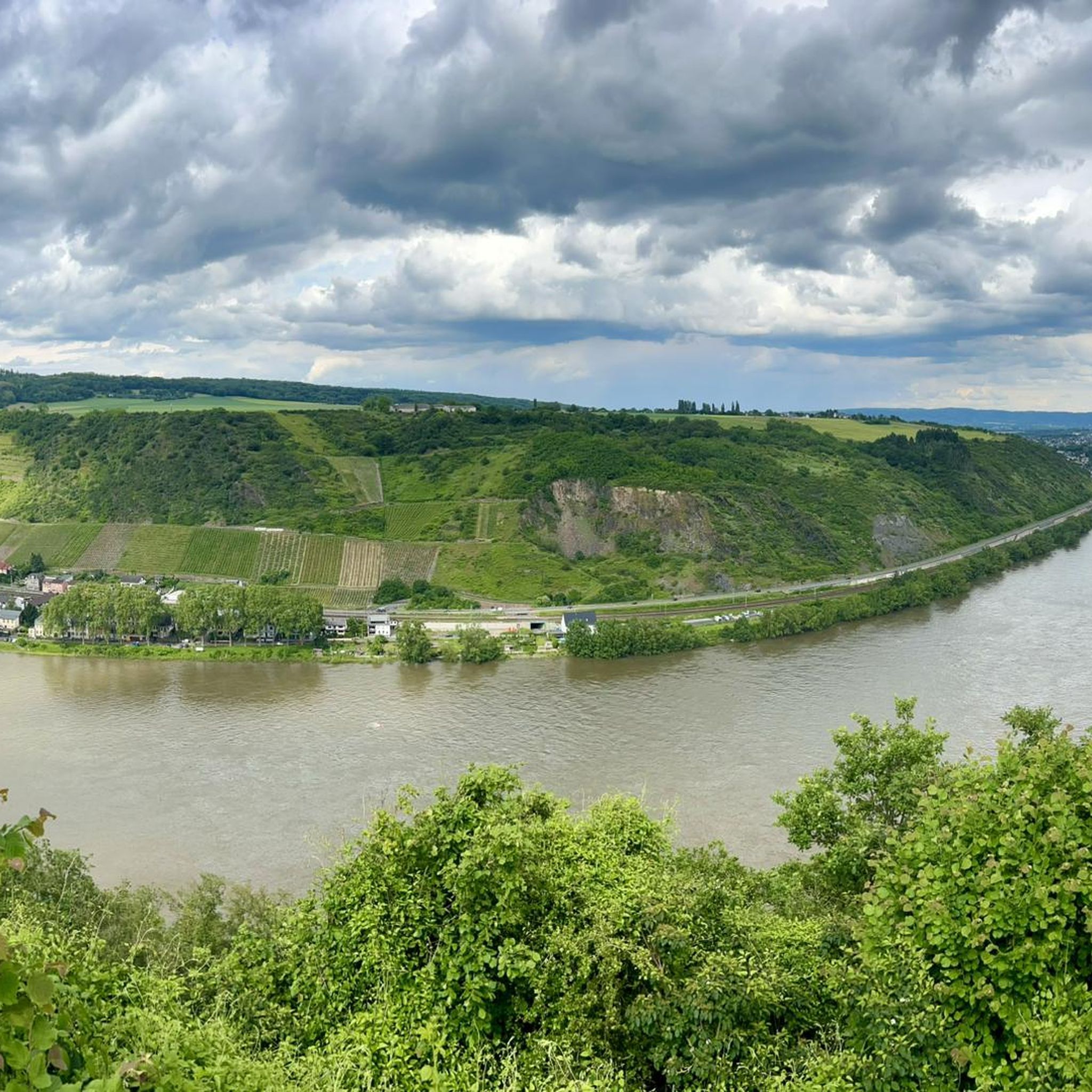
Running Trails around Andernach
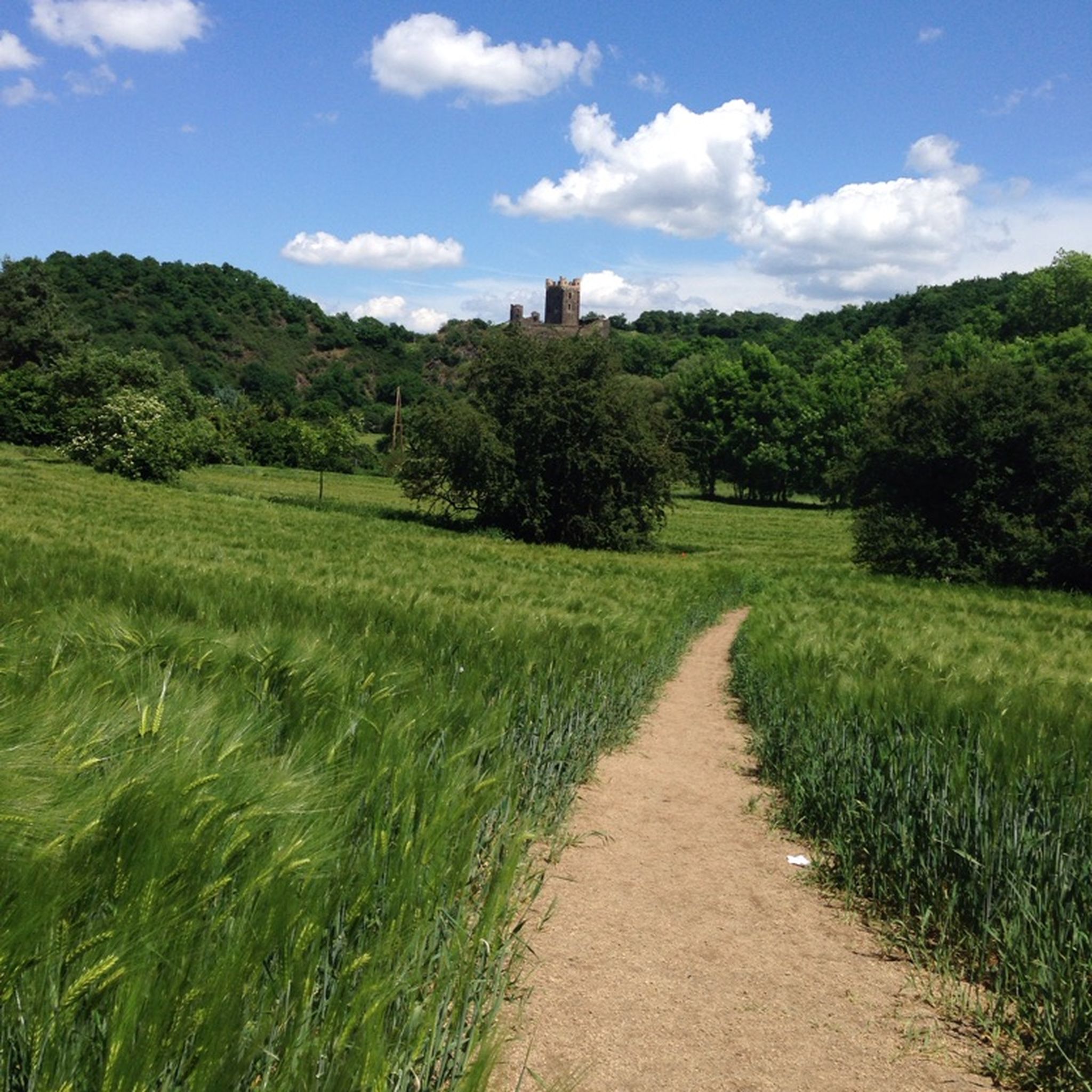
MTB Trails around Andernach
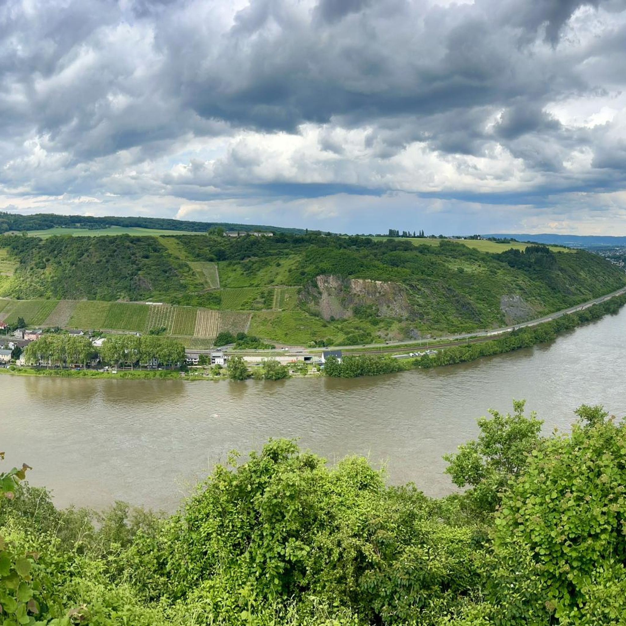
Road Cycling Routes around Andernach
Other adventures around Andernach


Tips from the Community

Mill on the Wied, driven by the Laubach
0
0
Great view and a cool drink
0
0
The benches along the path are perfect for relaxing. The beer garden offers a welcome refreshment.
0
0

A lovely spot for a leisurely bike ride and enjoying the view. Those who prefer a faster pace need to be quite careful of pedestrians, but it's actually much nicer to take your time here and relax on one of the benches.
3
0


Invites you to linger when the sun is shining.
1
0

Great view, nice people, good food!
0
0
Frequently Asked Questions
How many gravel bike trails are available around Andernach?
There are over 120 gravel bike trails documented on komoot for the Andernach region. These routes offer a wide range of experiences, from moderate paths to challenging rides, catering to different skill levels.
What is the general difficulty level of gravel biking in Andernach?
The gravel biking routes around Andernach offer a diverse range of difficulties. While there are 3 easy routes, the majority are moderate (46 routes) or difficult (72 routes), featuring significant elevation changes due to the region's volcanic topography and river valleys. This makes it suitable for riders looking for a good challenge.
Are there any family-friendly gravel bike trails in Andernach?
While many routes in Andernach are moderate to difficult, there are a few easier options available. For a less strenuous ride, consider exploring the flatter sections along the Rhine or looking for routes with minimal elevation gain. Always check the route details on komoot for specific difficulty ratings and elevation profiles to ensure it suits your family's abilities.
What are some of the longer gravel bike routes in the Andernach area?
For those seeking longer rides, the region offers several options. One notable route is the Wied Bridge in Datzeroth – Malberg Summit loop from Weißenthurm, which spans 27.7 miles (44.6 km) and includes significant elevation gain. Another substantial option is the Lake Laach – View of Lake Laach loop from Miesenheim, covering 36.3 km.
What kind of landscapes can I expect to see while gravel biking around Andernach?
Gravel biking around Andernach offers a rich tapestry of landscapes. You'll encounter rolling hills, dense forest trails, and stunning views of the Neuwied Basin and the volcanic Laacher See. The routes often follow parts of the Wied river valley and traverse the unique volcanic Eifel region, providing varied terrain and scenic vistas.
Are there any circular gravel bike routes near Andernach?
Yes, many of the gravel bike trails in the Andernach area are designed as loops, allowing you to start and end at the same point. Examples include the View of the Neuwied Basin near Eich – Forest trails near Laacher See loop from Andernach and the Lake Laach – Lake Laach loop from Eich, which are popular choices for their scenic circular paths.
What are some notable viewpoints along the gravel bike trails?
The region is rich in scenic viewpoints. You can enjoy panoramic views from the Gänsehalsturm Observation Tower, or take in the View of Krufter Waldsee from Teufelskanzel. Many routes also offer glimpses of the Neuwied Basin and the Laacher See, such as the View of the Neuwied Basin – Wied Bridge, Altwied loop from Neuwied.
What do other gravel bikers enjoy most about the trails in Andernach?
The komoot community highly rates the gravel biking experience in Andernach, with an average score of 4.2 stars from over 150 reviews. Riders often praise the diverse terrain, the challenging ascents, and the beautiful views of the volcanic Eifel region and the Rhine river landscape.
Can I access the gravel bike trails using public transport?
Many routes start from towns like Andernach, Neuwied, and Weißenthurm, which are generally well-connected by public transport. While specific public transport details for each trailhead are not provided, planning your route to start from a train station or bus stop in these towns is often feasible.
Are there any specific attractions or landmarks to look out for along the routes?
Yes, the area offers several interesting landmarks. Besides the natural beauty of the Laacher See, you might encounter the Malberg Summit, which is part of a popular route. The region also features various viewpoints and trails, such as the Hasenpfad Trail or the Singletrack trail in the Eifel, offering diverse points of interest.
What is the best time of year for gravel biking in Andernach?
The diverse terrain around Andernach makes it enjoyable throughout much of the year. Spring and autumn offer pleasant temperatures and vibrant scenery, while summer can be great for longer days. Even in winter, many trails remain accessible, though conditions can vary, especially in higher elevations or after rainfall. Always check local weather forecasts before heading out.
Most popular routes around Andernach
Most popular attractions around Andernach

Get inspired with the komoot mobile app


Explore more
Browse the best Gravel rides in other regions.
