The best gravel rides in Diepholz
4.4
(350)
1,047
riders
69
rides
Gravel biking in Diepholz offers diverse terrain within Lower Saxony, Germany, characterized by the Wildeshauser Geest Nature Park. The region features expansive lakes like Dümmersee, the Hunte River, extensive moorlands, and green forests. Riders can explore varied landscapes with generally gentle elevation changes, traversing fields, meadows, and small villages.
Best gravel bike trails in Diepholz
- The most popular gravel bike trail is Dümmer West Viewing Tower – Dümmer See Marina loop from Hüde, an 11.3 miles (18.2 km) trail…
Last updated: October 19, 2026
4.7
(10)
46
riders
106km
05:30
300m
300m
Hard gravel ride. Very good fitness required. Mostly paved surfaces. Suitable for all skill levels.
3.0
(3)
14
riders
Easy gravel ride. Great for any fitness level. Mostly paved surfaces. Suitable for all skill levels.

4.4
(5)
17
riders
Moderate gravel ride. Good fitness required. Mostly paved surfaces. Suitable for all skill levels.
10
riders
Moderate gravel ride. Good fitness required. Mostly paved surfaces. Suitable for all skill levels.
4.5
(8)
12
riders
36.0km
02:04
110m
110m
Moderate gravel ride. Good fitness required. Mostly paved surfaces. Suitable for all skill levels.
4.0
(5)
13
riders
Moderate gravel ride. Good fitness required. Mostly paved surfaces. Suitable for all skill levels.
4.9
(11)
6
riders
25.2km
01:30
100m
100m
Easy gravel ride. Great for any fitness level. Mostly paved surfaces. Suitable for all skill levels.
5.0
(2)
4
riders
Hard gravel ride. Great for any fitness level. You may need to push your bike for some segments of this route.
5.0
(1)
5
riders
54.4km
03:13
260m
260m
Hard gravel ride. Good fitness required. You may need to push your bike for some segments of this route.
4.0
(1)
5
riders
56.7km
03:17
60m
60m
Moderate gravel ride. Good fitness required. Mostly paved surfaces. Suitable for all skill levels.
Get access to more routes and recommendations from other explorers.
Already have an account?
Our route recommendations are based on thousands of hikes, rides, and runs completed by other people on komoot.
Start today with a free account
Your next adventure awaits.
Popular around Diepholz
Gravel biking in Kladdinger Wiesen

Gravel biking around Weyhe
Gravel biking around Stuhr
Gravel biking around Drebber

Gravel biking in Lohner Und Diepholzer Moor
Gravel biking in Boller Moor Und Lange Lohe
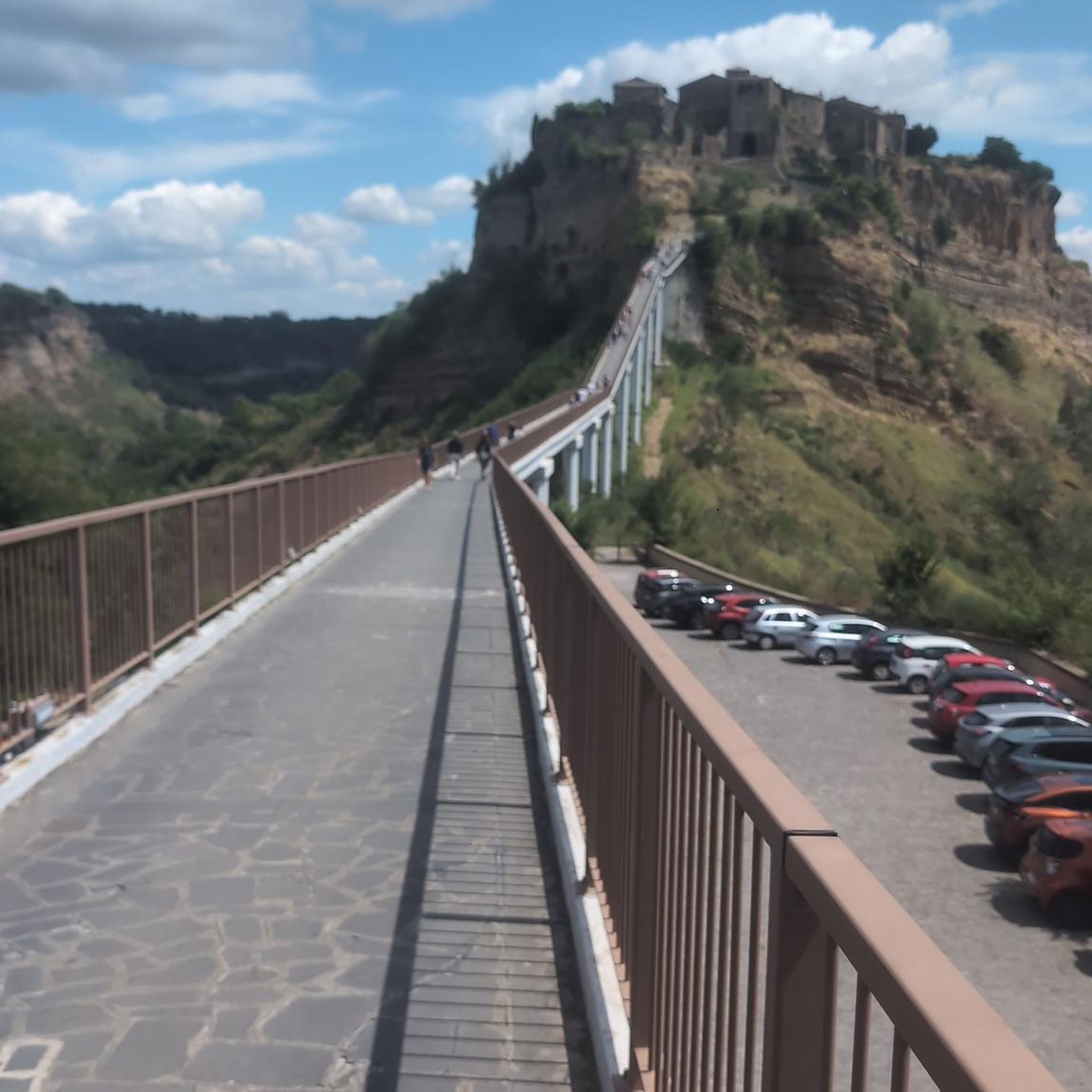
Gravel biking in Naturschutzgebiet Aschener Moor

Gravel biking around Wieltsee
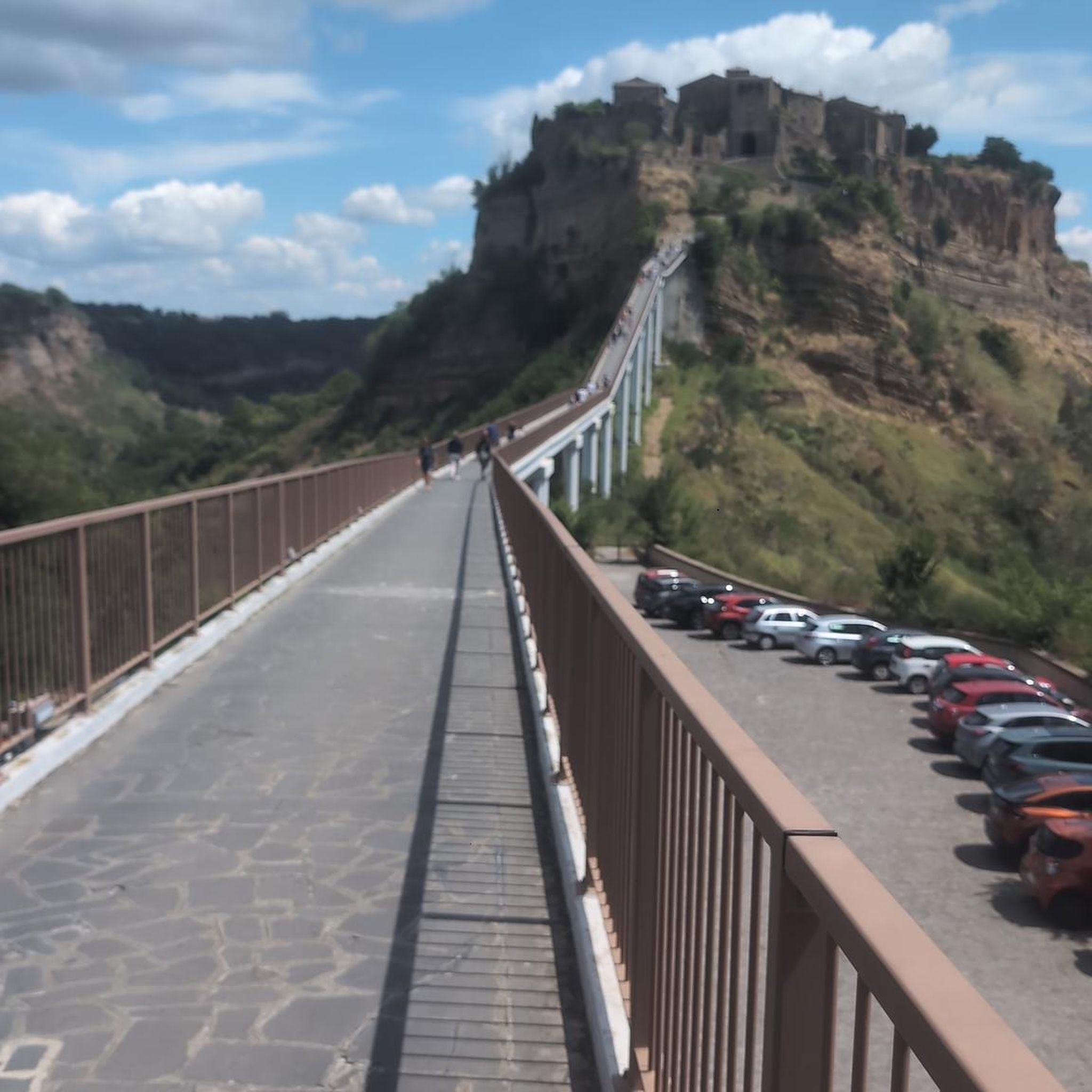
Gravel biking around Barnstorf
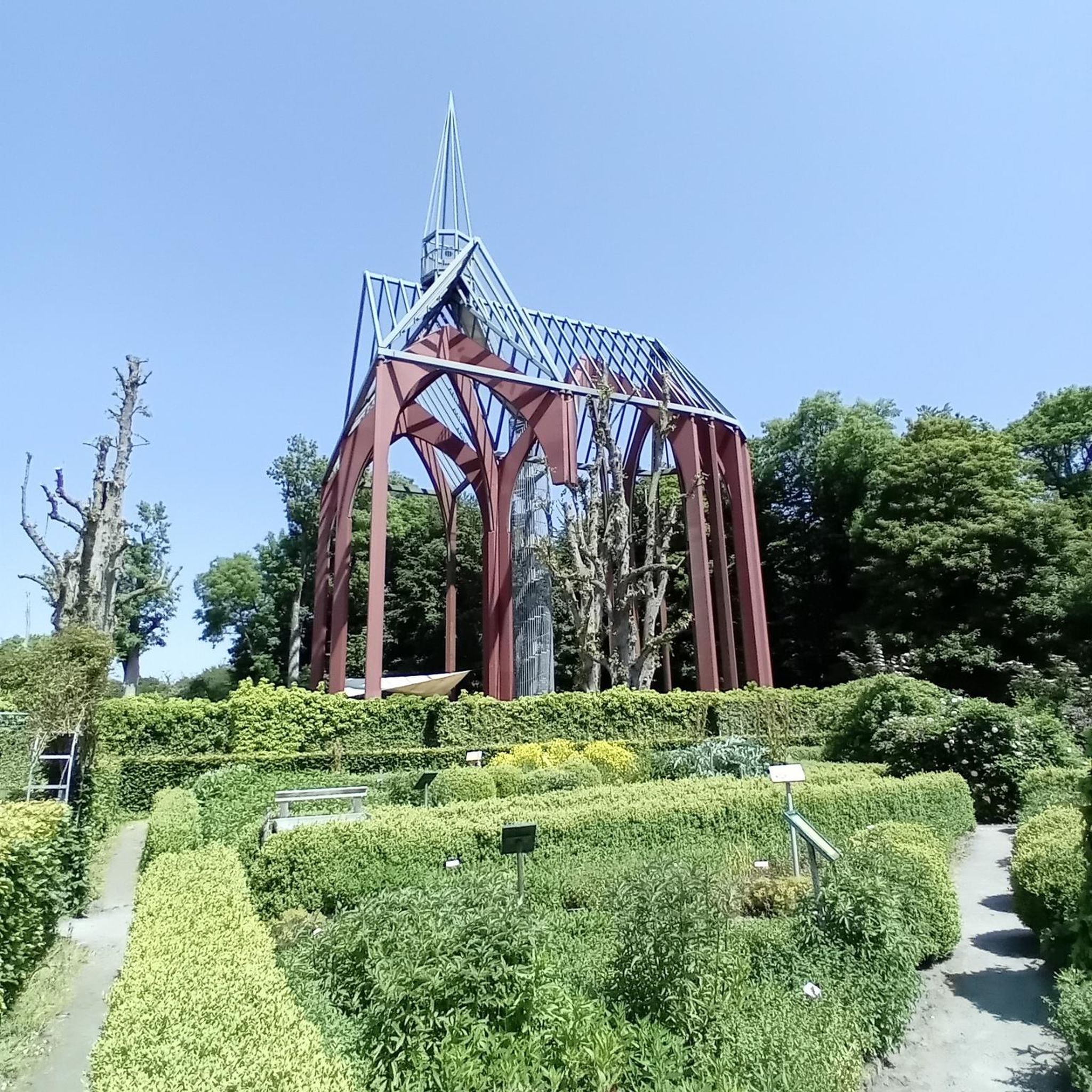
Gravel biking around Bassum
Other adventures in Diepholz


Tips from the Community

Dare to ride over the second wooden bridge of the Hunte after about 29 km and you will be rewarded with a nice rest stop. This is not visible from the first wooden bridge
0
0


Weserdeichweg, beautifully along the Weser and through nature.
2
0

Route of the cycling race Syke Okel Syke which Jan Ulrich has also already won.
2
0

Der Hohe Berg is a striking elevation (an „ambitious earth mound“) on the Via Baltica in the area of the Barrien – Harpstedt stage. Shortly after starting in Barrien, the path leads over the Der Hohe Berg (58.5m), where a wind farm is located and from this height, the pilgrim sees Bremen to the north. The section is part of the Westphalian stages, where pilgrims often walk on hard tarred roads, which is a strain on the joints.
0
0

The senior citizens' trail along the Hunte river is very beautiful and shady. In parts, it is lined with sugar maples.
1
0

The "Hohe Berg" (High Mountain) was certainly named with a wink. But since it is the highest elevation far and wide, and also has the observation tower, you have a fantastic panoramic view - in good weather, all the way to Bremen!
0
0

A little information from the internet about Fesenfeld: Fesenfeld is one of eight villages belonging to the municipality of Nordwohlde, part of the town of Bassum (Diepholz district). It is a rural area within Nordwohlde. The town of Bassum itself (postcode 27211) has comprised 16 villages since the 1974 administrative and territorial reform. Key details: Location: Part of Nordwohlde, a district on the northern edge of Bassum. Structure: Fesenfeld is one of several villages (including Gräfinghausen, Högenhausen, and Kätingen) that are administratively part of Nordwohlde. Surroundings: Characterized by its proximity to forests and opportunities for cycling and hiking.
1
0
Frequently Asked Questions
How many gravel bike trails are available in Diepholz?
Diepholz offers a wide selection of gravel bike trails, with over 50 routes available for exploration. These trails cater to various skill levels, from easy loops to more challenging rides through diverse landscapes.
What kind of terrain can I expect on gravel bike trails in Diepholz?
Gravel biking in Diepholz features a varied terrain. You'll encounter a mix of surfaces, including predominantly paved paths, unpaved sections, forest paths, and even some singletracks. The region is characterized by extensive moorlands, river valleys, green forests, and gentle hills, providing a dynamic and engaging ride.
Are there any easy gravel bike routes suitable for beginners or families?
Yes, Diepholz has several easy gravel routes perfect for beginners or families. An excellent option is the Dümmer West Viewing Tower – Dümmer See Marina loop from Hüde, an 18.2 km (11.3 miles) trail that circles a portion of Dümmersee, offering scenic lake views. This route is generally flat and well-suited for a relaxed ride.
What are some challenging gravel bike trails in the Diepholz area?
For those seeking a challenge, Diepholz offers routes with more significant distances and elevation changes. The Warwer Sand – Nienstädter Leichenweg Avenue loop from Stuhr is a difficult 56.1 km (34.9 miles) route that includes more elevation gain and varied terrain, providing a demanding experience for experienced cyclists.
What natural features or landmarks can I see along the gravel bike trails in Diepholz?
Diepholz's gravel trails pass by numerous natural features and landmarks. You can explore the shores of Dümmersee, visit the Dümmer West Viewing Tower for panoramic views, or cycle along the Hunte River. Other notable spots include the Hohe Berg Observation Tower, the Warwer Sand Sand Dunes, and the Ochsenmoor Nature Reserve at Lake Dümmer, which is excellent for birdwatching.
Are there any circular gravel bike routes in Diepholz?
Yes, many gravel bike routes in Diepholz are designed as loops, allowing you to start and end at the same point. Examples include the popular Leester Marsh – Park on the Left Bank of the Weser loop from Kirchweyhe, a moderate 41.2 km (25.6 miles) path exploring marshlands and riverbanks, and the Wall Gorge on Heiligenberg – Heiligenberg Monastery Mill loop from Syke, a 55.5 km (34.5 miles) trail through varied landscapes.
What is the best time of year for gravel biking in Diepholz?
The best time for gravel biking in Diepholz is generally from spring through autumn (April to October). During these months, the weather is typically milder and drier, making for more comfortable riding conditions. The diverse landscapes, including moorlands and forests, are particularly beautiful during these seasons.
What do other gravel bikers enjoy most about the trails in Diepholz?
The gravel biking routes in Diepholz are highly rated by the komoot community, with an average score of 4.6 stars from over 350 reviews. Riders frequently praise the region's diverse landscapes, the serene beauty of Dümmersee, and the varied terrain that keeps rides interesting. The network offers options for different ability levels, ensuring there's something for everyone.
Are there any routes that pass by lakes or rivers?
Absolutely. Diepholz is known for its water features. Many routes incorporate the Dümmersee, Lower Saxony's largest lake, offering picturesque views. The Dümmer West Viewing Tower – Hunte Bridge loop from Lemförde is a great example, taking you along the lake and near the Hunte River. You can also visit the Olgahafen on Lake Dümmer or the Beach on Lake Dümmer in Hüde.
Can I find cafes or places to stop for refreshments along the gravel routes?
While specific cafes are not listed for every route, the region's trails often pass through or near small villages and towns. Especially around Dümmersee, you'll find various establishments. It's always a good idea to check your route on komoot beforehand to identify potential refreshment stops or pack your own snacks and drinks.
Are there any gravel routes that explore the marshlands?
Yes, the Diepholz region is known for its extensive moorlands and marsh areas. The Leester Marsh – Old Weser Riverbank loop from Brinkum is a moderate 37.6 km (23.4 miles) route that specifically explores marshlands and riverbanks, offering a unique natural experience.
Most popular routes in Diepholz
Most popular attractions in Diepholz

Get inspired with the komoot mobile app


Didn’t find what you were looking for?
Check out more Gravel rides throughout Diepholz below and find the perfect route in your destination.
Explore more
Browse the best Gravel rides in other regions.
