The best gravel rides around Les Contamines-Montjoie
4.6
(17)
174
riders
19
rides
Gravel biking around Les Contamines-Montjoie offers diverse terrain, combining paved roads, forest tracks, and alpine paths. The region is characterized by significant elevation changes, leading through mountain passes, lush alpine meadows, and dense forests. Riders experience the dramatic backdrop of the Mont Blanc massif and explore the varied environments of the Nature Reserve of Les Contamines-Montjoie. This landscape provides a range of surfaces and gradients suitable for gravel cycling.
Best gravel bike trails around Les Contamines-Montjoie
- The most popular gravel…
Last updated: July 4, 2026
4.0
(2)
18
riders
46.5km
03:36
1,280m
1,280m
Hard gravel ride. Very good fitness required. Mostly paved surfaces. Suitable for all skill levels.
4.0
(4)
39
riders
26.0km
01:31
120m
120m
Easy gravel ride. Great for any fitness level. Mostly paved surfaces. Suitable for all skill levels.

Sign up for free
4
riders
26.1km
02:24
960m
960m
Hard gravel ride. Very good fitness required. Mostly paved surfaces. Suitable for all skill levels.
3
riders
17.3km
01:55
940m
940m
Hard gravel ride. Very good fitness required. Mostly paved surfaces. Suitable for all skill levels.
9
riders
22.7km
01:56
740m
740m
Hard gravel ride. Very good fitness required. Mostly paved surfaces. Suitable for all skill levels.
Get access to more routes and recommendations from other explorers.
Sign up for free
Already have an account?
Our route recommendations are based on thousands of hikes, rides, and runs completed by other people on komoot.
Start today with a free account
Your next adventure awaits.
Login or Signup
Popular around Les Contamines-Montjoie

Hike from Savoie to Vanoise – Hexatrek in France’s Northern Alps
The TDS – 6 days of wild and demanding trails between Italy and France
MTB Trails around Les Contamines-Montjoie
Hiking around Les Contamines-Montjoie
Running Trails around Les Contamines-Montjoie
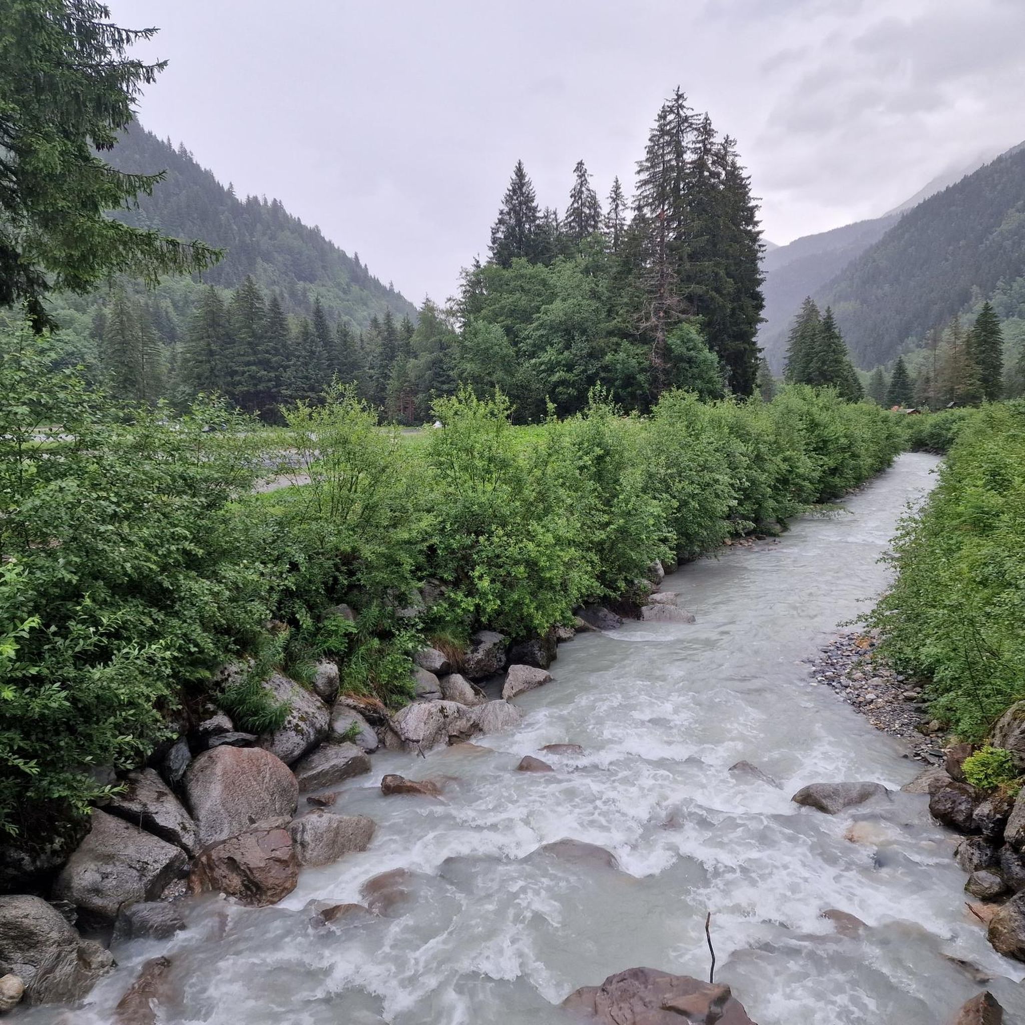
Road Cycling Routes around Les Contamines-Montjoie
Mountain Hikes around Les Contamines-Montjoie
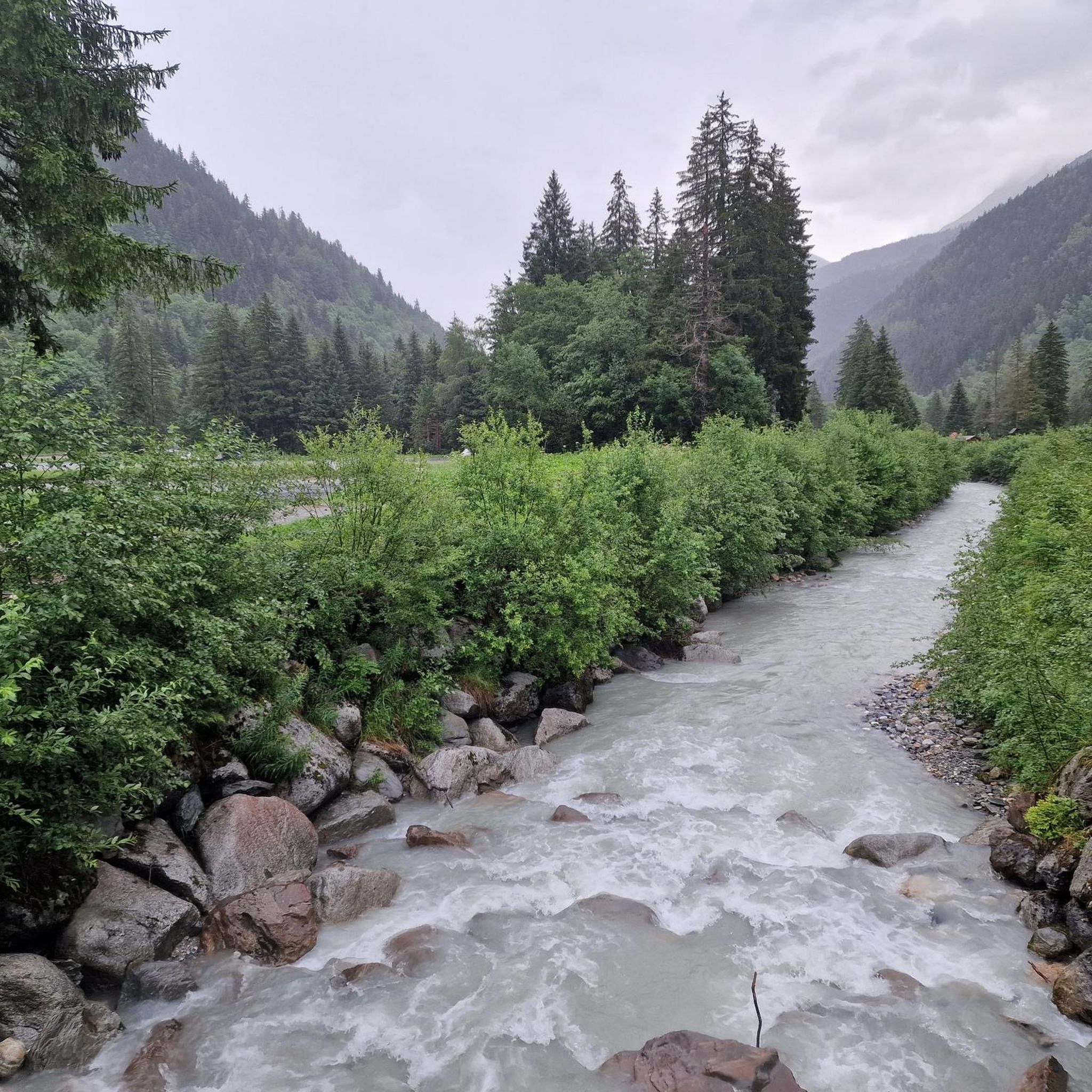
Cycling around Les Contamines-Montjoie


Tips from the Community

Small side road in Praz-sur-Arly
2
0

Magnificent view from the pass, but impossible on gravel.
1
0


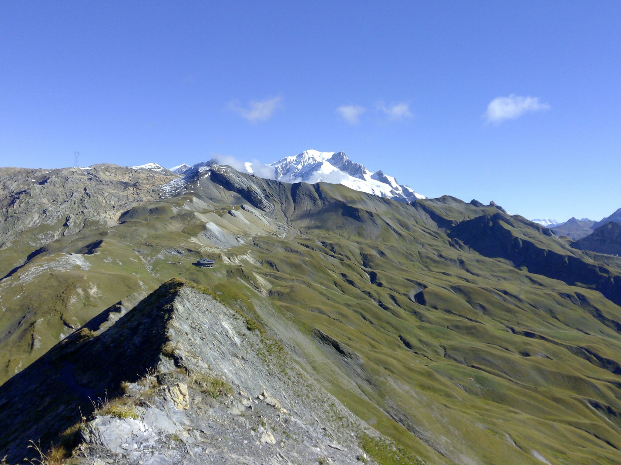
A beautiful place to observe Mont Blanc.
1
0

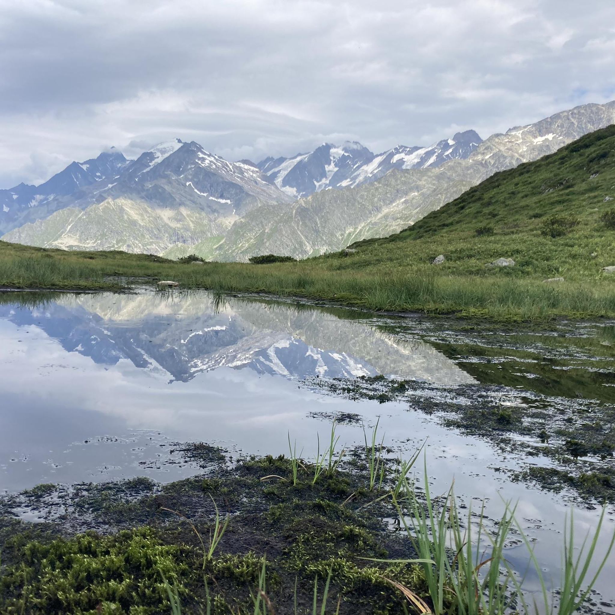
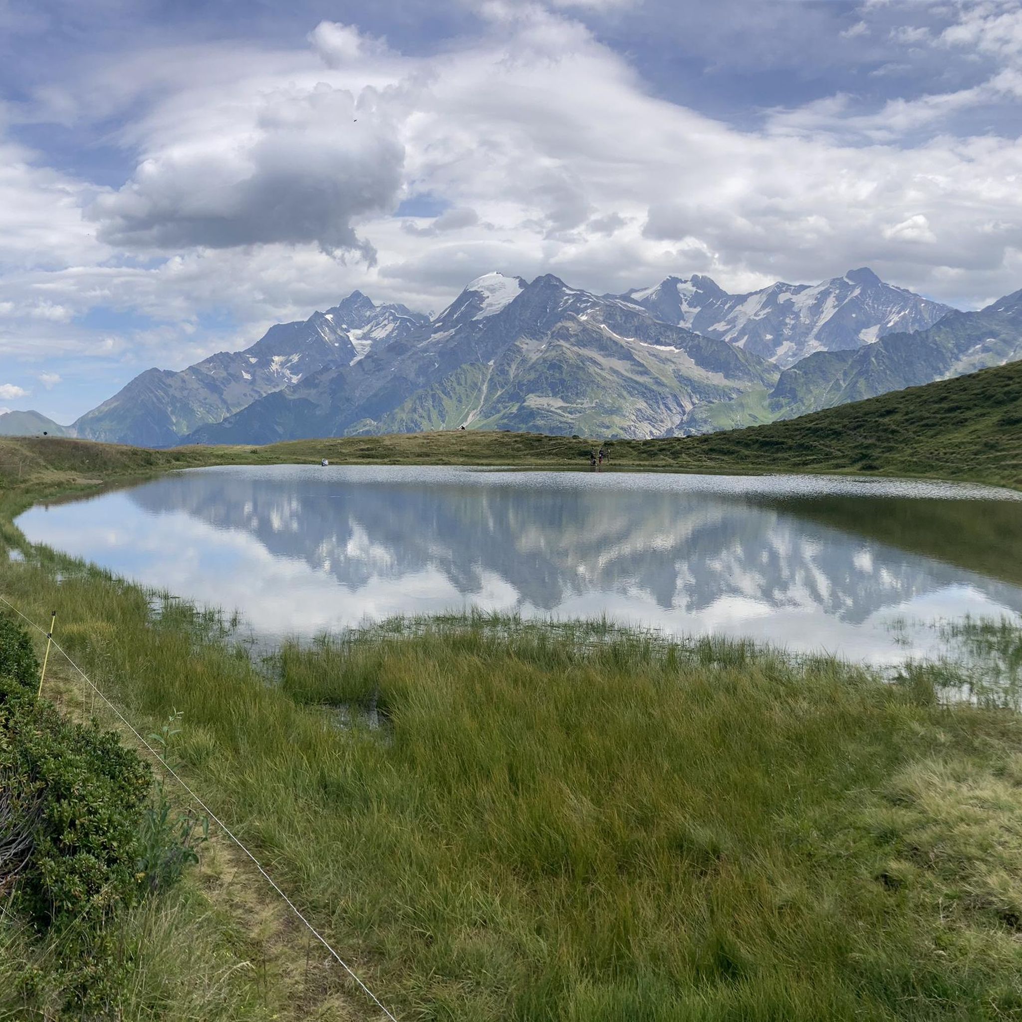
The first lake, classified as Category 1 and intended for fishing, is teeming with fish and wild birds that you can observe up close, taking care not to disturb them when feeding them.
1
0
Point of intersection On the Meadows Altitude 1857m
1
0
Intersection point Pré Rosset Altitude 1888m
1
0
Frequently Asked Questions
How many gravel bike trails are available in Les Contamines-Montjoie?
There are over 20 gravel bike trails around Les Contamines-Montjoie, offering a variety of experiences. The majority, 17 routes, are rated as difficult, with 3 moderate and 1 easy option available.
What kind of terrain can I expect on gravel bike routes in Les Contamines-Montjoie?
Gravel biking in Les Contamines-Montjoie features diverse terrain, combining paved roads, forest tracks, and alpine paths. You'll encounter significant elevation changes, leading through mountain passes, lush alpine meadows, and dense forests, all set against the dramatic backdrop of the Mont Blanc massif.
Are there any easy gravel bike routes suitable for beginners or families?
Yes, there is one easy gravel bike route. The Third Lake at Les Ilettes – Saint-Martin Bridge loop from Le Fayet - Gare is a 16.2-mile (25.9 km) path with minimal elevation gain, making it a great option for those looking for a less strenuous ride.
Can I find challenging gravel bike trails with significant climbs in this region?
Absolutely. Les Contamines-Montjoie is known for its challenging routes. For instance, the Col de Véry – Col des Saisies loop from Megève covers 28.9 miles (46.5 km) with over 1200 meters of elevation gain, taking you through iconic mountain passes.
What scenic viewpoints or natural features can I see along the gravel trails?
The routes offer breathtaking views of the Mont Blanc massif and lead through the diverse environments of the Nature Reserve of Les Contamines-Montjoie. You can expect to see alpine meadows, dense forests, and potentially glaciers. Some trails also pass by historical sites like the Roman bridge.
Are there any gravel routes that pass by waterfalls?
Yes, several routes offer views of waterfalls. The Arpenaz Waterfall – Saint-Martin Bridge loop from Le Fayet - Gare is a 32.2-mile (51.9 km) route that features the impressive Arpenaz Waterfall. You might also encounter smaller cascades like the Small waterfall or the Belle au Bois Waterfall.
Are there circular gravel bike routes available in Les Contamines-Montjoie?
Many of the gravel bike routes in Les Contamines-Montjoie are circular. Examples include the Arpenaz Waterfall – Saint-Martin Bridge loop from Le Fayet - Gare and the Col de Véry – Col des Saisies loop from Megève, allowing you to start and finish in the same location.
What is the best time of year for gravel biking in Les Contamines-Montjoie?
The summer months are generally ideal for gravel biking in Les Contamines-Montjoie. The alpine paths are clear of snow, and the weather is typically pleasant for exploring the mountain passes and high-altitude meadows. Always check local conditions before heading out, especially in early summer or late autumn.
Are there any facilities like cafes or huts along the gravel routes?
Yes, some routes may pass near traditional mountain villages or offer access to huts. For example, you might find facilities near Notre-Dame de la Gorge, a historical site and starting point for many trails. Additionally, there are several huts in the region, such as the Auberge du Truc or the Hut La Balme, which can provide refreshments or shelter.
What do other gravel bikers enjoy most about the routes here?
The gravel biking routes in Les Contamines-Montjoie are highly rated by the komoot community, with an average score of 4.4 stars. Reviewers often praise the diverse terrain, the stunning views of the Mont Blanc massif, and the variety of challenging ascents and scenic panoramic trails.
How long do the gravel bike trails typically take to complete?
The duration varies significantly depending on the route's distance and difficulty. For example, the View of the Alps – Le Leutaz Trail Intersection loop from Megève, a 16.2-mile (26.1 km) difficult route, typically takes around 2 hours 24 minutes. Longer, more challenging routes can take 4 hours or more.
Most popular routes around Les Contamines-Montjoie
Most popular attractions around Les Contamines-Montjoie

Get inspired with the komoot mobile app


Explore more
Browse the best Gravel rides in other regions.
